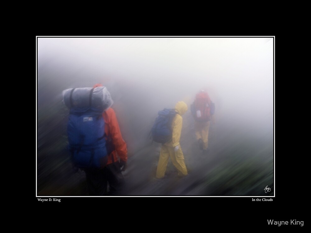
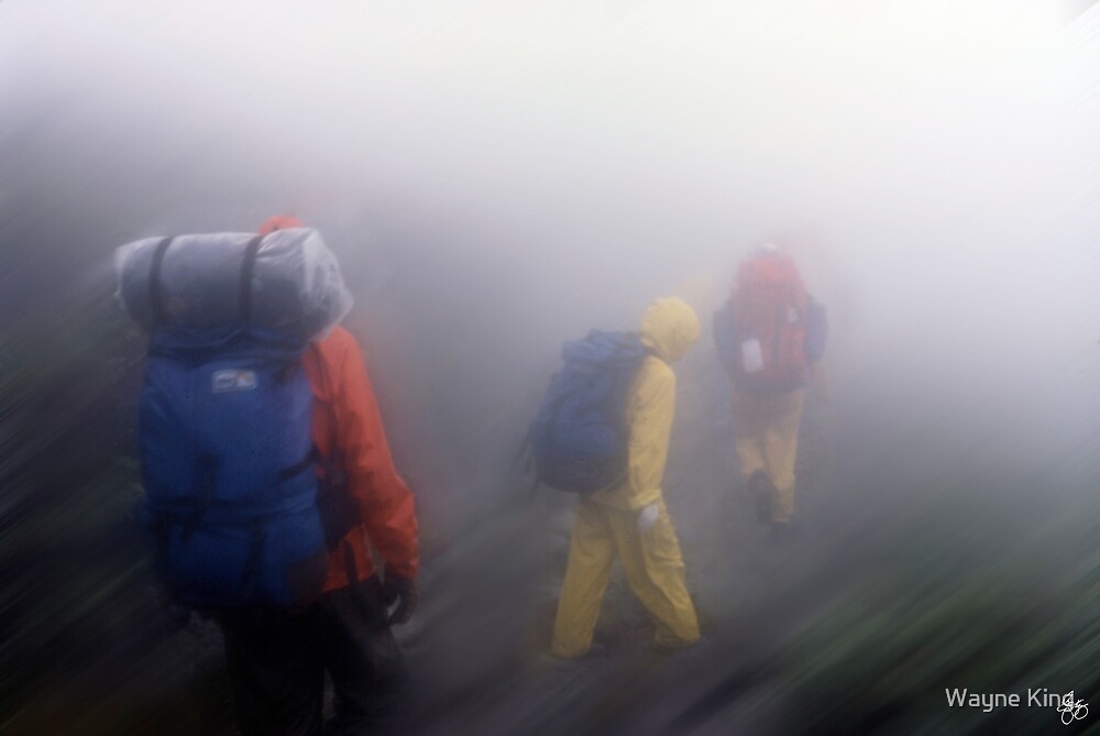
Hikers in the Presidential Range of NH find themselves in the clouds buffeted by winds and rain. Printed in a signed limited edition of 25 prints on fine art rag paper with archival inks. To purchase the original or open edition prints or a poster in one of 2 sizes, email Waynedking9278@gmail.com or click here: http://spreesy.com/waynedking
Wednesday, October 24, 2018
In the Clouds
Hikers in the Presidential Range of NH find themselves in the clouds buffeted by winds and rain. Printed in a signed limited edition of 25 prints on fine art rag paper with archival inks. To purchase the original or open edition prints or a poster in one of 2 sizes, email Waynedking9278@gmail.com or click here: http://spreesy.com/waynedking
Friday, June 1, 2018
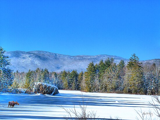
Madison Boulder Natural Area
![]() |
| The Madison Boulder |
Off Route 113
Madison, NH 03849
The Madison Boulder is the largest known glacial erratic in New England, and among the largest in the world. Madison Boulder is a huge granite rock measuring 83 feet in length, 23 feet in height above the ground, and 37 feet in width. It weighs upwards of 5,000 tons! A part of this roughly rectangular block is buried, probably to a depth of ten to twelve feet.
The Madison Boulder site was acquired by the state of N.H. in 1946 and designated a National Natural Landmark in 1970
A glacial erratic is a boulder that does not mirror the rock make-up of the area in which it sits, leading to the conclusion that it was deposited in the site by glacial action. It is speculated that the Madison Boulder was moved by the most recent glacier from a point some 20 miles away, perhaps farther.
Madison Boulder Natural Area is open to the public year-round at no charge. Picnic tables are available.
Glacial erratic - Wikipedia
![]() |
Paperback: $34.99 http://bit.ly/SpotonPorchPaper Hardcover: $54.88 http://bit.ly/SpotonPorchHard |
![]() |
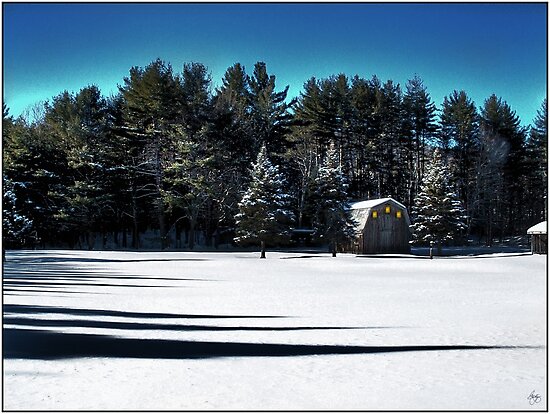
| Three Lights in a Barn |
|
Sunday, May 20, 2018
Ridge of the Caps Trail (aka Caps Ridge)
![]() |
| Mountain Boys - Zach King and Corey Sobetzer on Caps Ridge |
Beyond this the Ridge of the Caps trail is one of the great hiking experiences for many more reasons. Start with the thick, mossy forests along the first mile of the hike. The experience is a bit like stepping into a scene from "Lord of the Rings" and kids find it magical.
Emerging onto the first view you'll find yourself on "Whirlpool ledge". This is an excellent example of rocks that have been shaped by erosion as the glacier receeded, though there is no water nearby you will find potholes formed by the action of water and rock.
From here on there is nothing but exciting hiking for the rest of the trip to the summit of Jefferson. In the photo above you can see the Caps which are a series of rock outcroppings that make the trip very interesting and far more arduous than the 2.4 mile hike to the summit would suggest.
If you are doing a day hike and need to return to the same spot, you'll take the same trail down. However, if you have made the logistical arrangements and you can continue on toward Clay and Washington it is an experience well worth the work. The Jefferson Highlands, between the summit of Jefferson and Clay, is a beautiful area filled with alpine flowers, sage and other grasses that make it quite an extraordinary experience...take your pack off and lounge in the grass. Don't hurry this experience because it will be one that you will long remember if you relish it.
![]() |
| Relaxing in Jefferson Highlands |
In bygone eras there were actually games of croquet played in some of the flatter areas that you will notice. There is actually an area known as Bigelow Lawns where the croquet games of old were played.
Please be aware that the weather in the Presidentials is quite unusual and that it can change dramatically in a very short period of time. Be sure to bring warm clothing and rain gear irrespective of the weather forecast and be prepared for high winds which are not at all unusual in this alpine area. The photos above were taken within an hour of each other. A beautiful sunny day became socked in with clouds in a matter of minutes.
Directions:
From Rte 302 in Bretton Woods, take the Marshfield Road towards the Cog Railroad base station and turn left on the Jefferson Notch Road. The opposite side of the road comes out on Rt 2 near the Bowman trailhead. A WMNF Parking Pass is required.
![]() | ||||||||
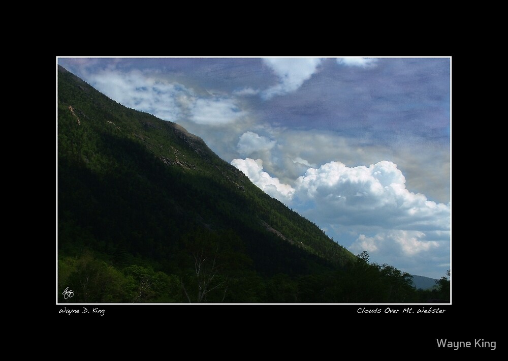
Clouds Over Mt Webster Poster - Click Here.
|
Thursday, June 12, 2014
Welton Falls, Alexandria, NH
Welton Falls,
Alexandria, NH
![]() |
| Welton Downstream Cards of Image Wayne D. King |
Here you will find quiet spots to sit and enjoy the scenery as well as some very challenging cliffs for jumping and diving.
Keep the diving to the lower cliffs as the water is not very deep.
Please be aware that this spot can be dangerous because of steep cliffs and slippery rock faces.
Scorecard
Cleanliness 4, Purity 5, Kid Factor 3, Beauty 5
Directions: There are two ways to get to Welton Falls each involves a hike but one hike is a bit longer than the other.
From Cardigan Lodge: Rte 3 to the south end of Newfound Lake, West past Shacketts store and continue straight toward Alexandria when the road forks. Follow the signs to Cardigan Lodge. At the lodge you will see a trail sign to Welton Falls on the south side of the lodge. This trail is about 3/4 of a mile long but is well worth the hike with some interesting biological and geological sites along the way.From Welton Falls Rd.
Rte 3 to the south end of Newfound Lake, West past Shacketts store and continue straight toward Alexandria when the road forks. Follow the signs to Cardigan Lodge until you see Welton Fall road on your right. Folllow this road about 1 mile and you will see a very old town road on the left hand side just before a hill. There is parking slightly down this road. Follow the road on foot for about 1/4 mile and watch for the well worn trail diverging off to the left. This trail goes up the Fowler River for about 1/2 mile and you will come to the falls. Map
![]() |
| Fawn Near Welton Falls Cards Wayne D. King |
Tuesday, June 10, 2014
A Spring Symphony of Lupines
![]() |
| A Spring Symphony of Lupines Wayne D. King |
Mindscapes Website: bit.ly/wdk_mindscapes
Red Bubble:http://www.redbubble.com/people/waynedking/portfolio
Fine Art America: http://fineartamerica.com/profiles/wayne-king.html
Twitter: http://Twitter.com/King_Mindscapes
Zazzle Shops: http://www.zazzle.com/moosewoodmindscapes
Wayne King uses only Canon Cameras and Equipment
Purchase Spring Symphony
On Cards
As a Poster
Fine Art Open Edition
Original Image
Saturday, December 19, 2009
Winter Hiking in the White Mountains
Stories from New Hampshire Stories delivered right to your inbox via Twitter. Click here
If you drive by a trailhead parking lot in the White Mountains in winter, you’ll see lots of cars. What gives? The answer: outdoor enthusiasts have discovered a fantastic winter playground!
The popularity of winter hiking has flourished in recent years. In part, it is because high-tech gear, such as current-design snowshoes, makes winter hiking easy.
But it is also the beauty of the season. The cold dry air creates a deep blue sky and long clear vistas. New snow on trees and landscape hides imperfections under a pristine cover. Low-slanting sunlight -- known to photographers as “sweet light” -- makes everything look its best.
And, then, there are the three reasons die-hard winter hikers have always known about: no bugs, no heat and no crowds! More
Livermore Landscape
Open Edition Prints
Saturday, November 7, 2009
Mountain Biking in NH's White Mountains
Beebe River Road
Blueberry Mountain Trail
Bog Pond Route
Brown Ash Swamp Route
Chandler Hill Road
Chickenboro Brook Route
Dickey Notch Trail Route
East Pond Route (from Tripoli Road)
East Pond Route (from Kancamagus Highway)
East Rumney-Campton Bog Road
Flat Mountain Pond Route
Forest Service Road 113
Gordon Pond Trail
Greeley Ponds Route
Jeep Road Route
Little East Pond Route
Livermore Road
Loon Mountain and Waterville Valley Permit Areas
Meader (Wachipauka) Pond
Peaked Hill Pond Trail
Sandwich Notch Road
Smarts Brook - Tri Town Route
Thornton Gore Route
Timber Camp Trail
Tripoli Road
Tunnel Brook Trail and North South Road
Warren-East Haverhill RR Grade
West Branch-Forest Service Road 378
New England Mountain Biking Association