Images by Wayne D. King
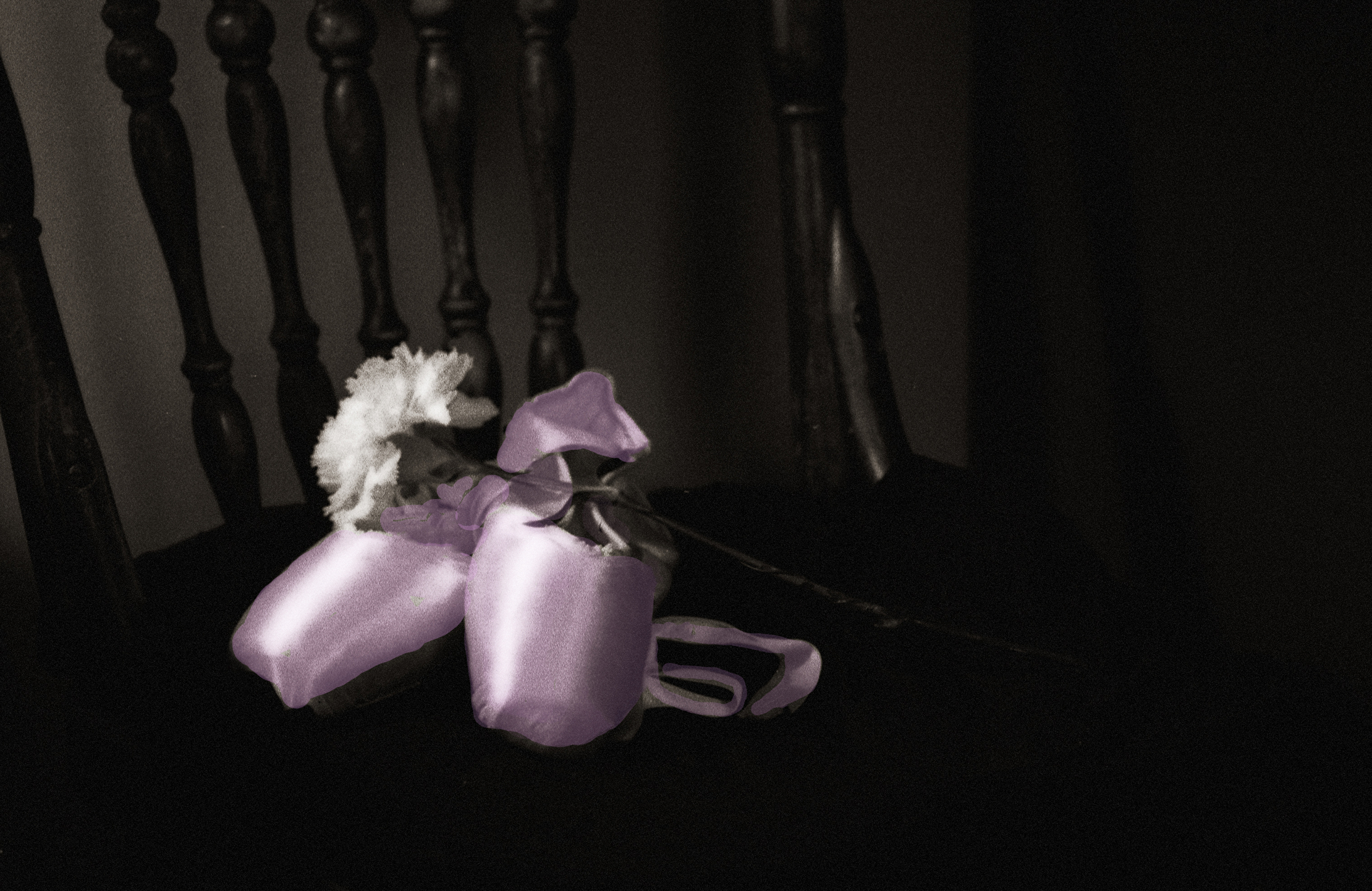 |
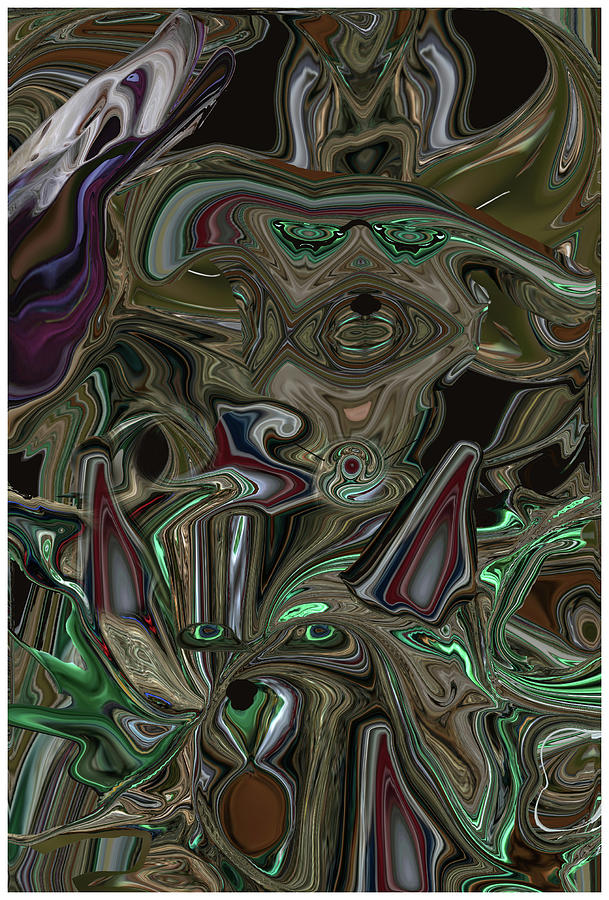
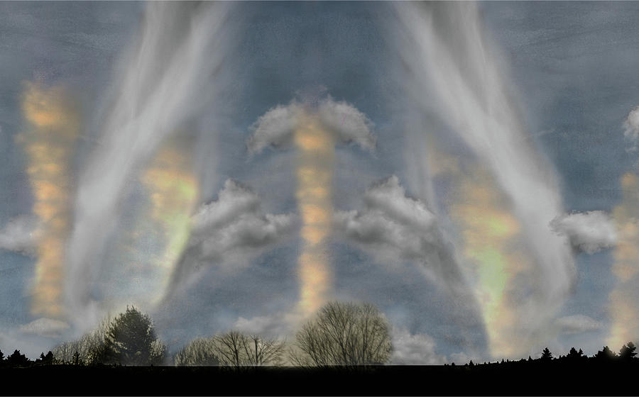
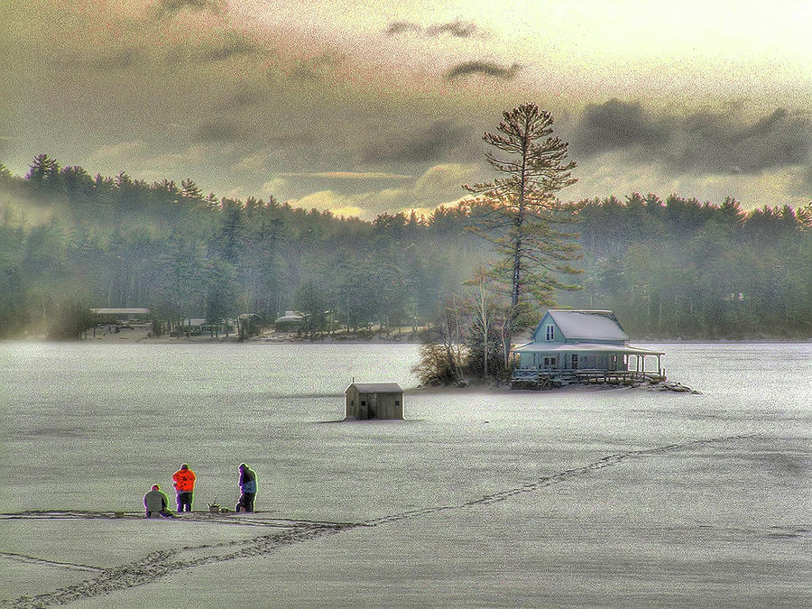
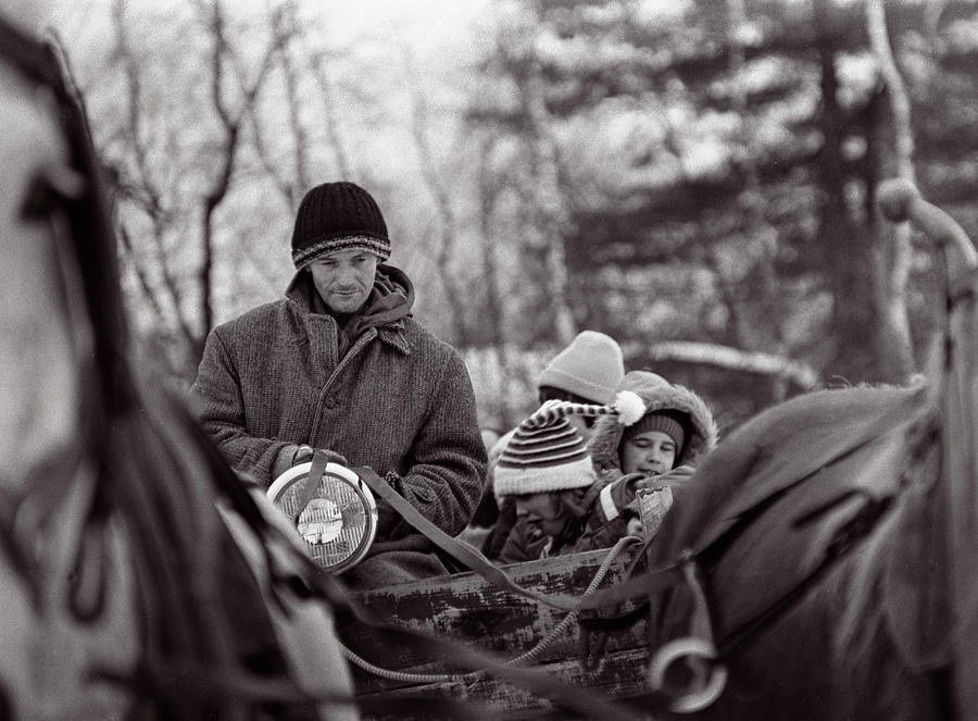
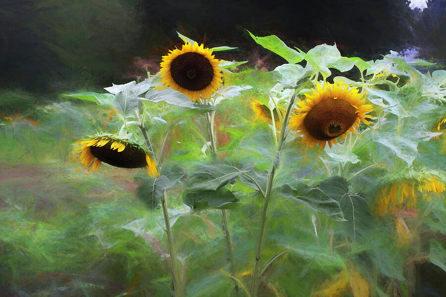
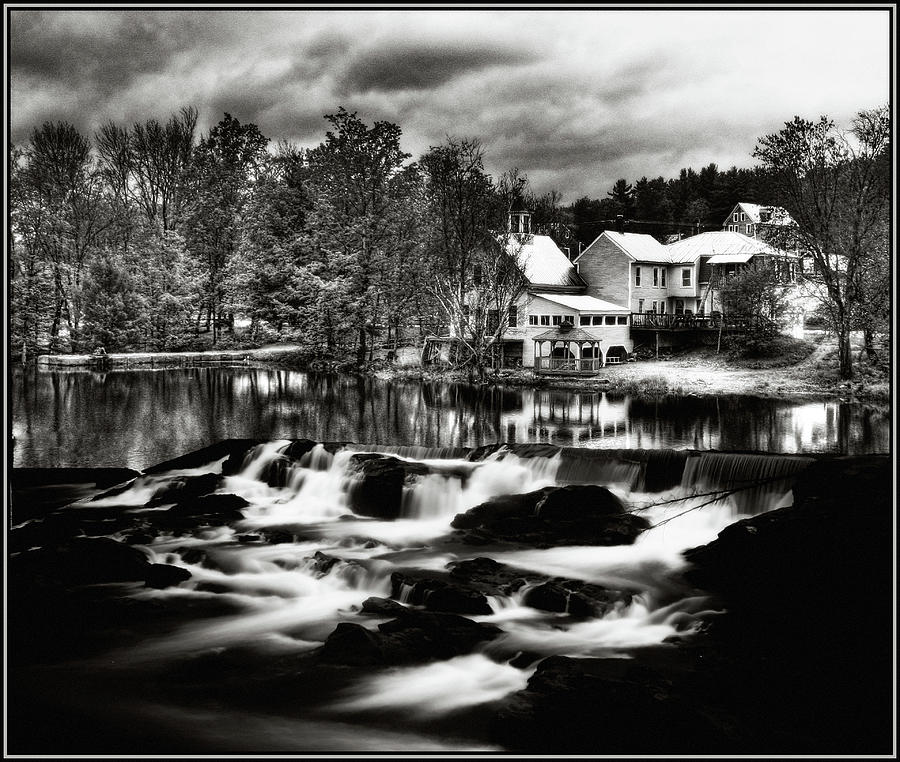
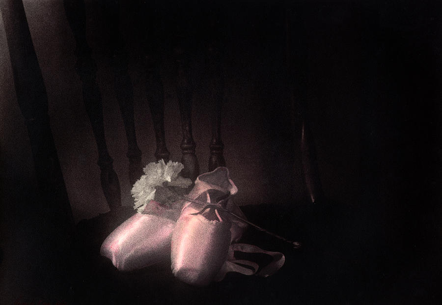
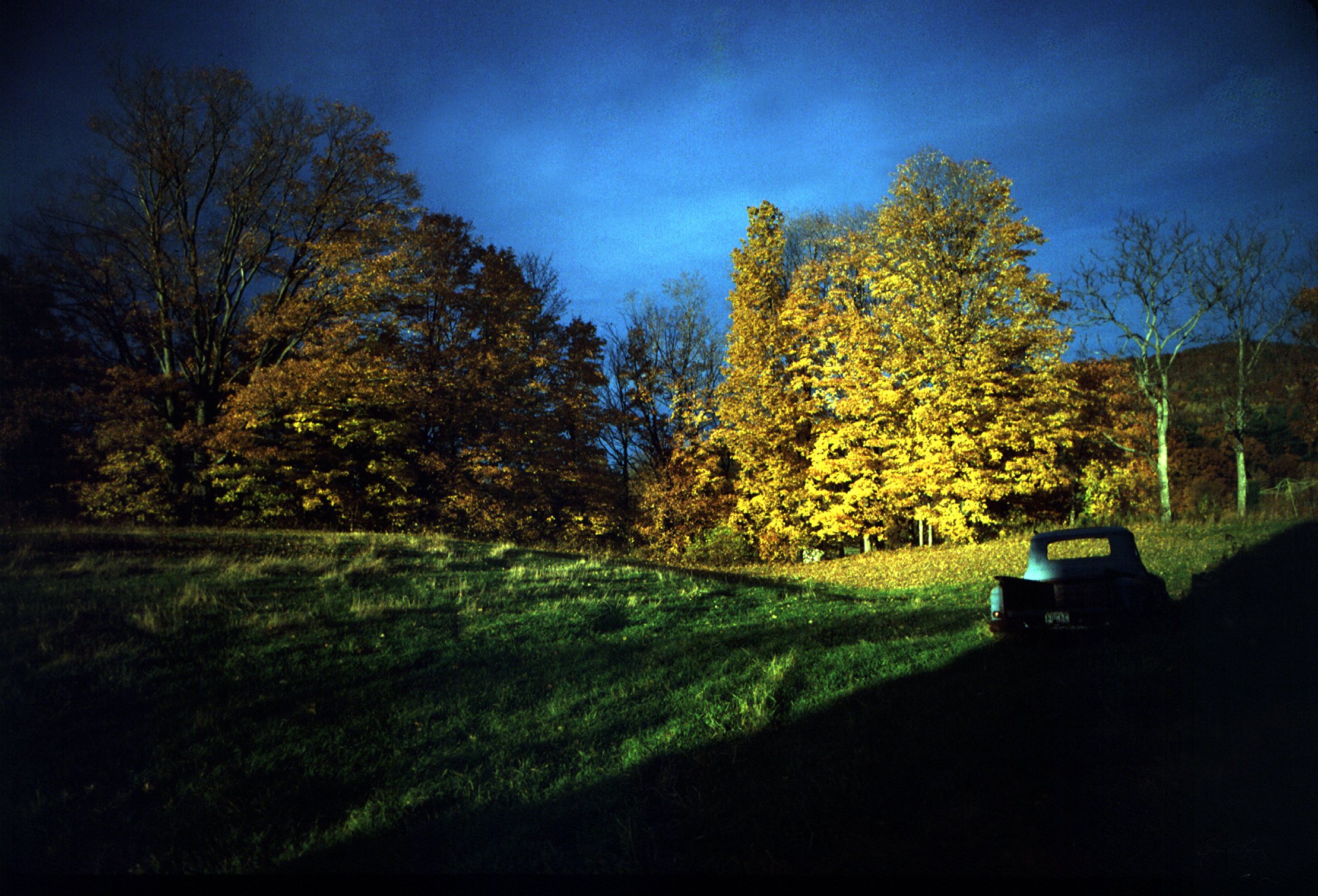
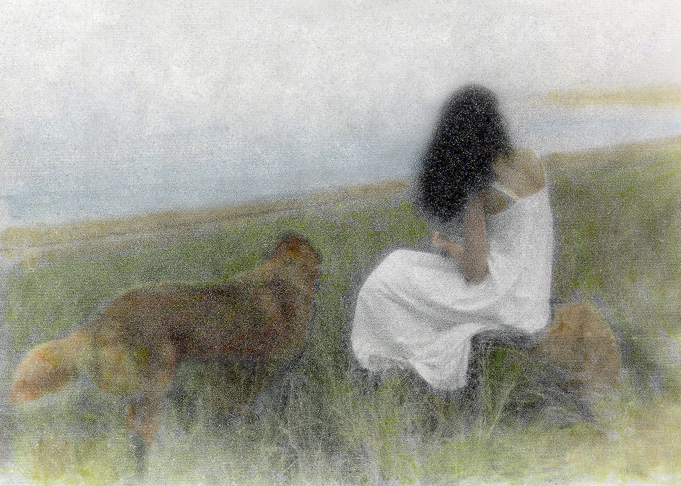
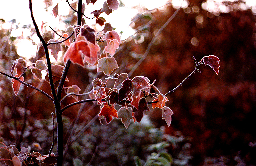
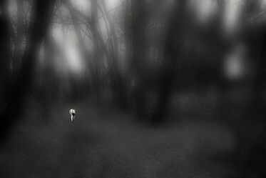
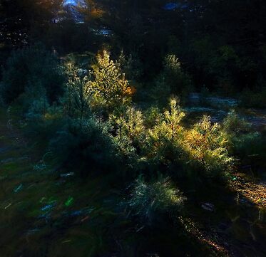
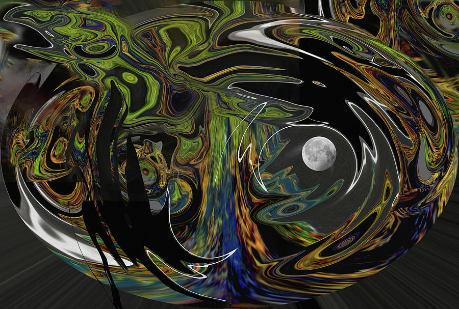
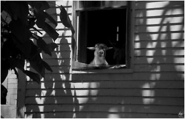
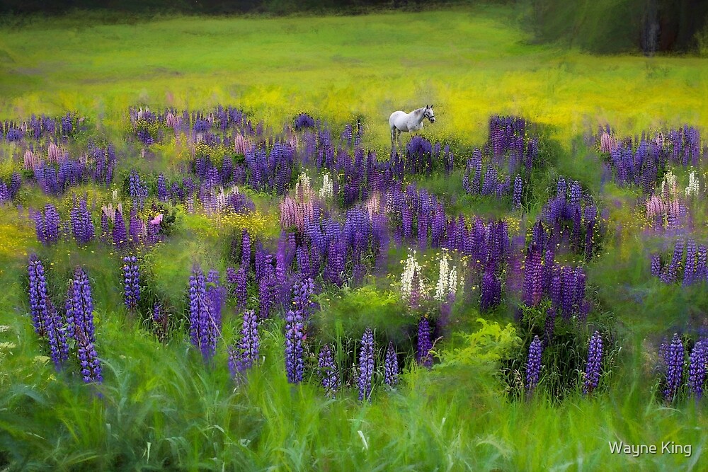
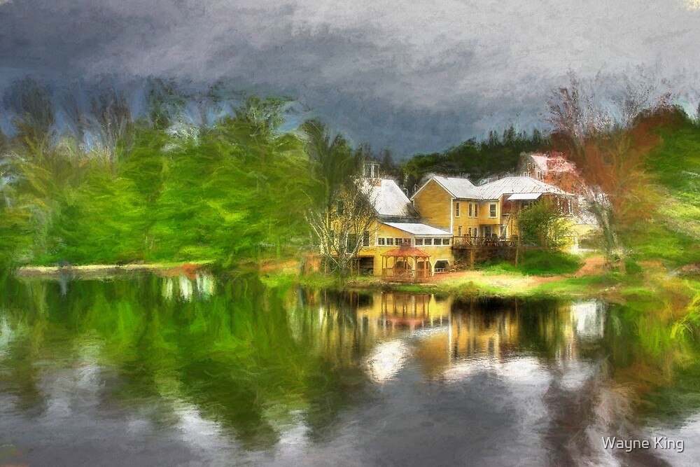
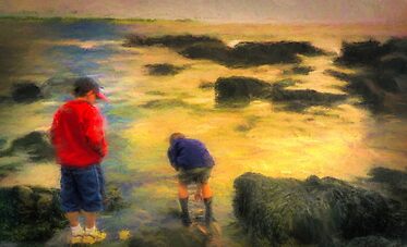
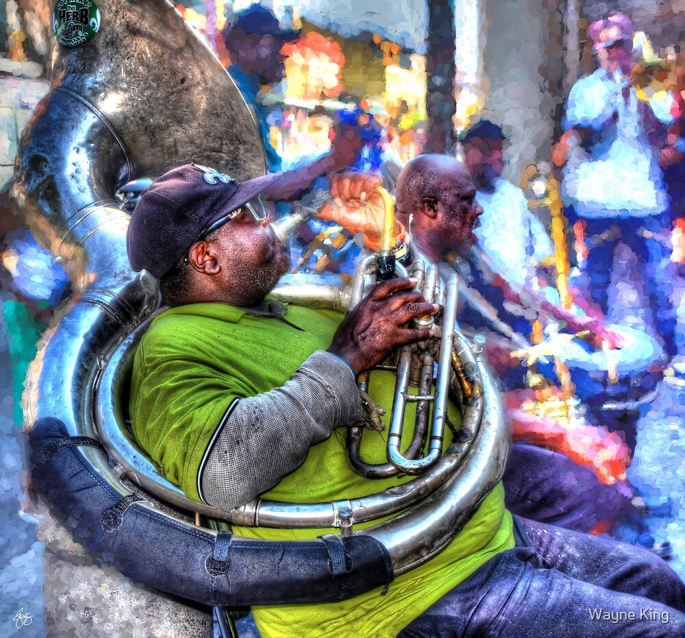
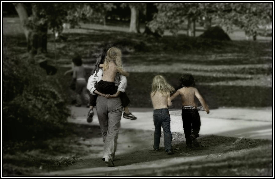
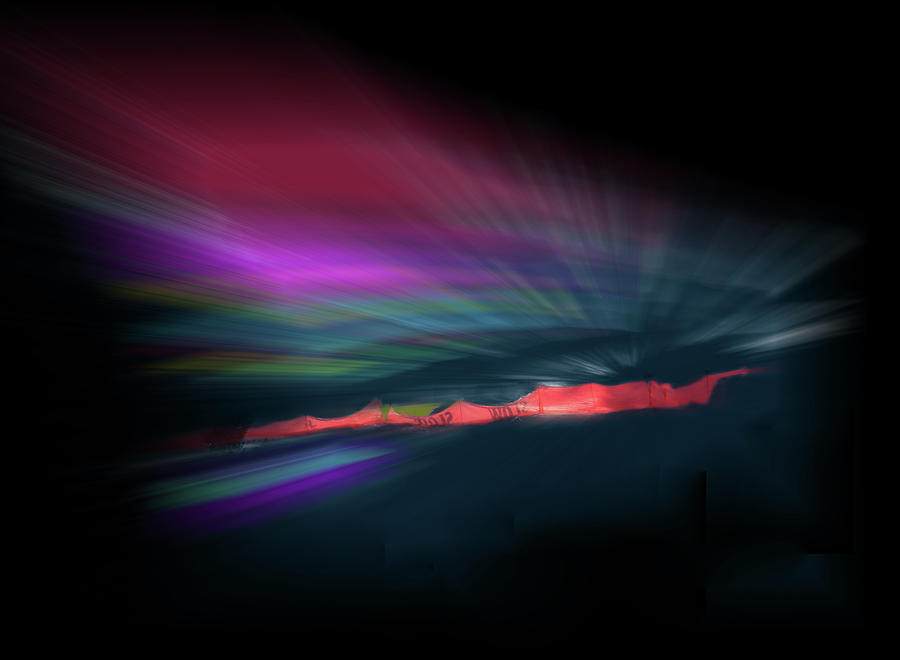
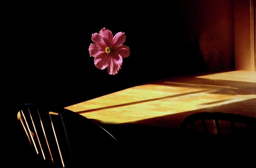
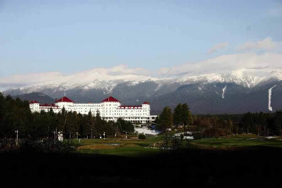
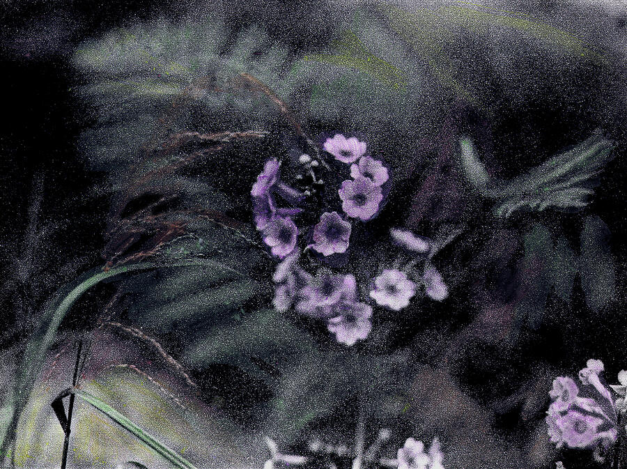
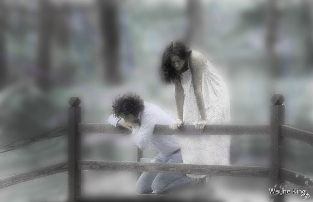
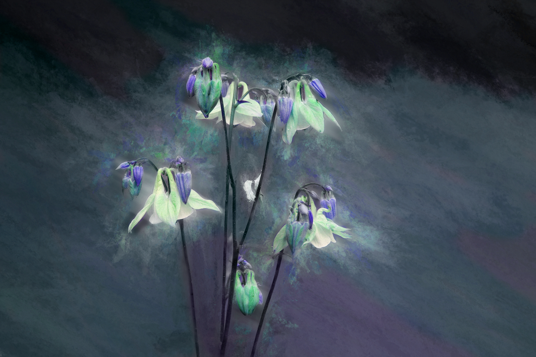
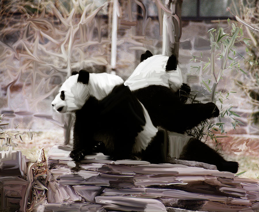
| The Glow After the Recital Original Signed Art Open edition |
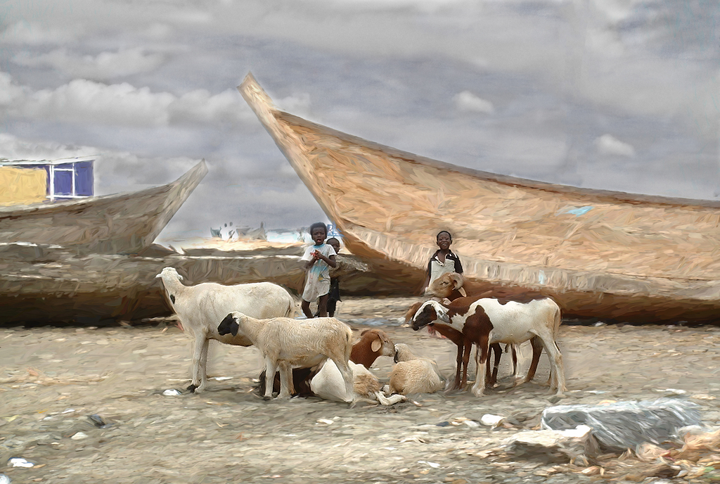 | ||||||||
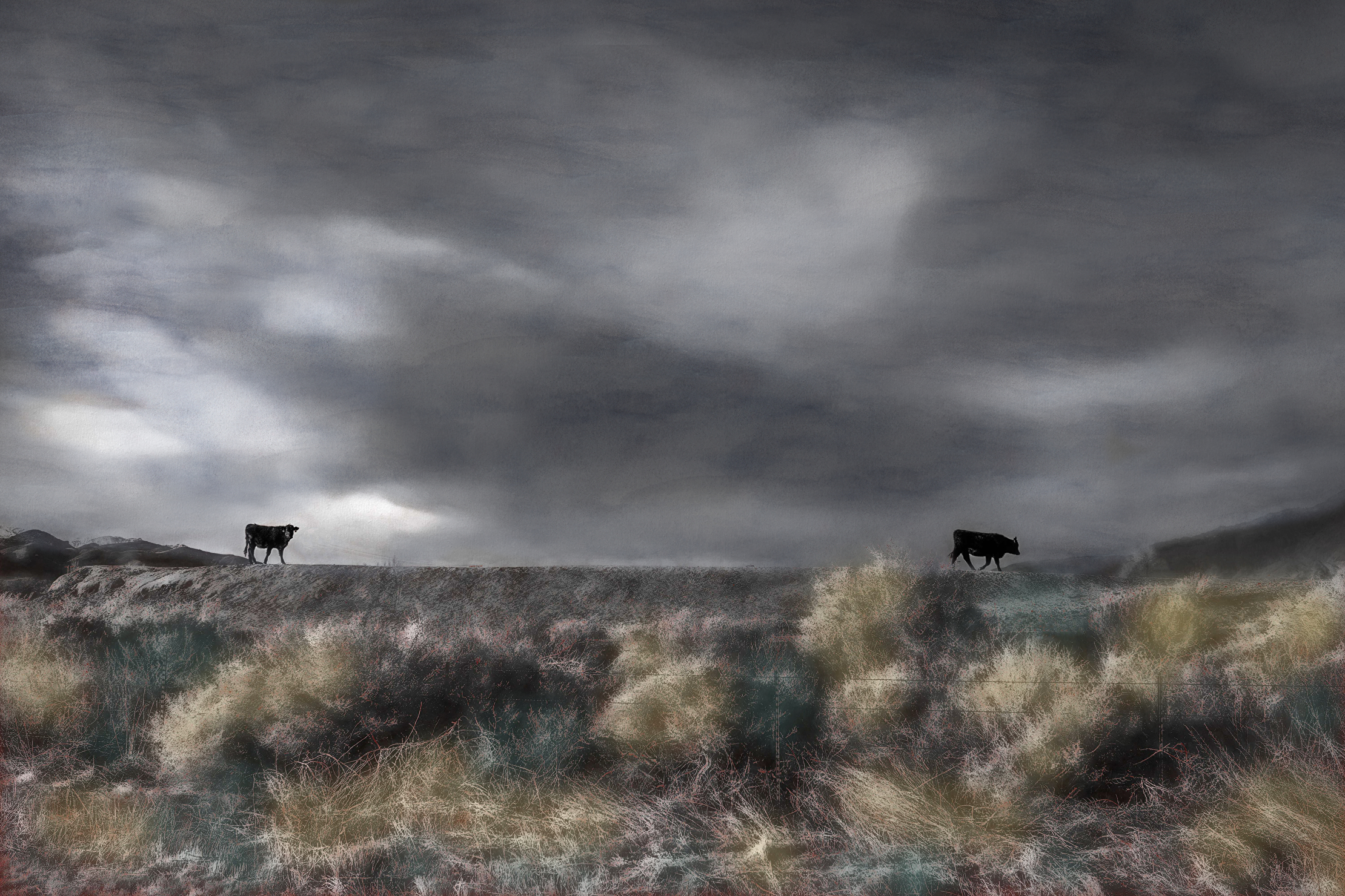
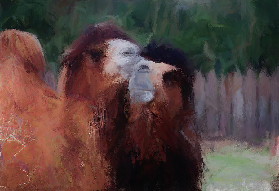
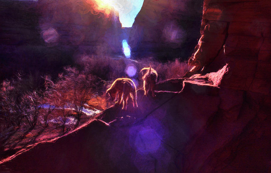
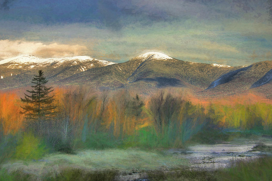
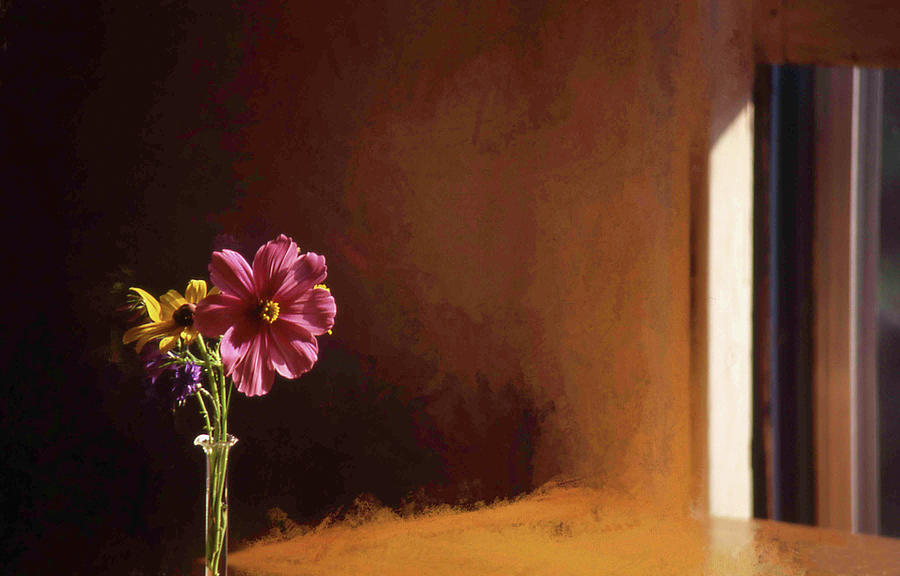
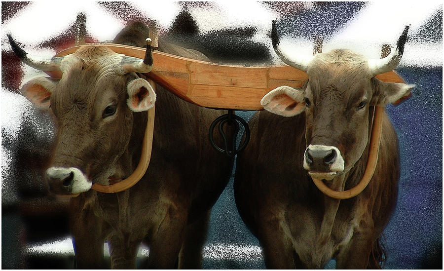
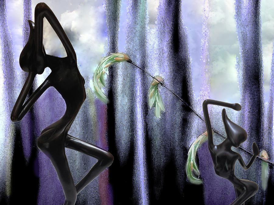
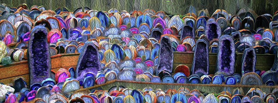
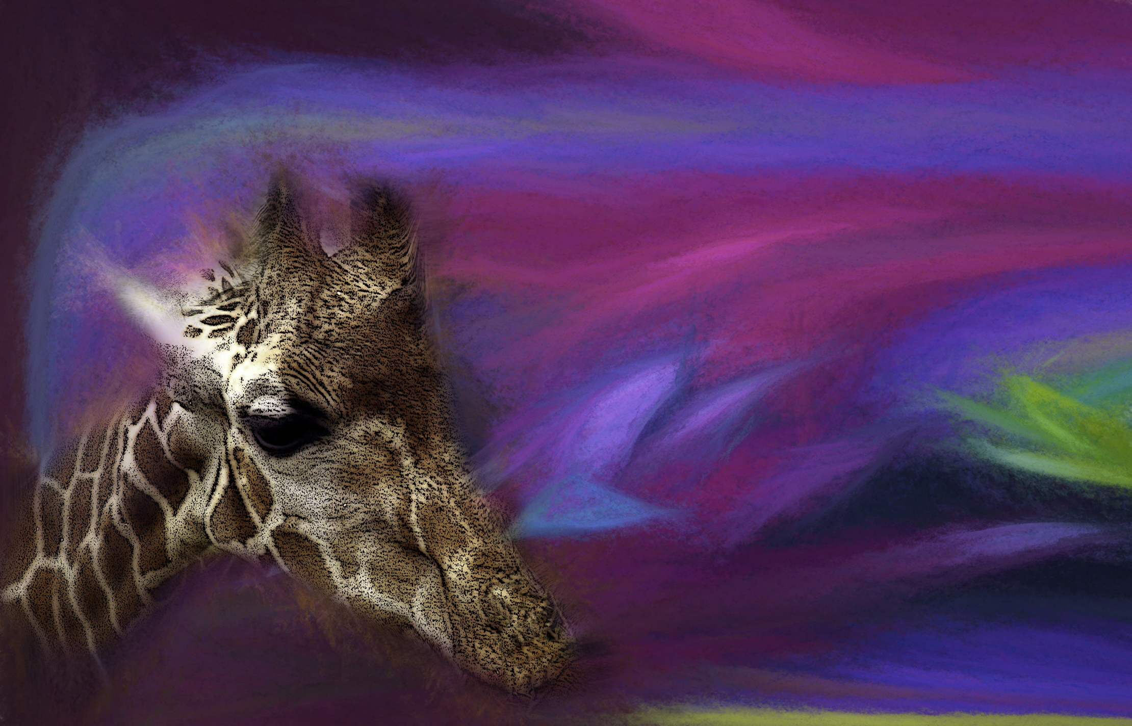
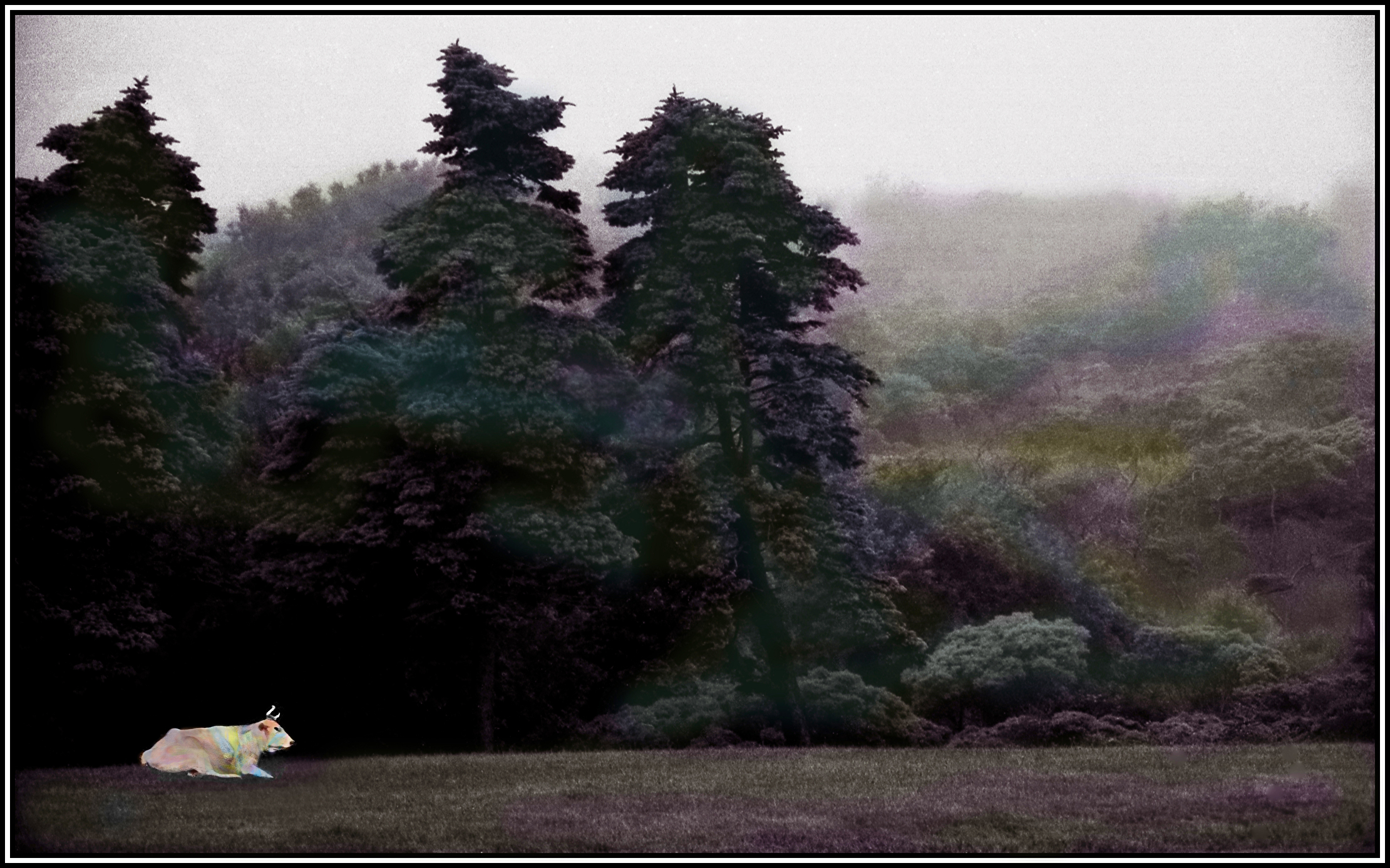
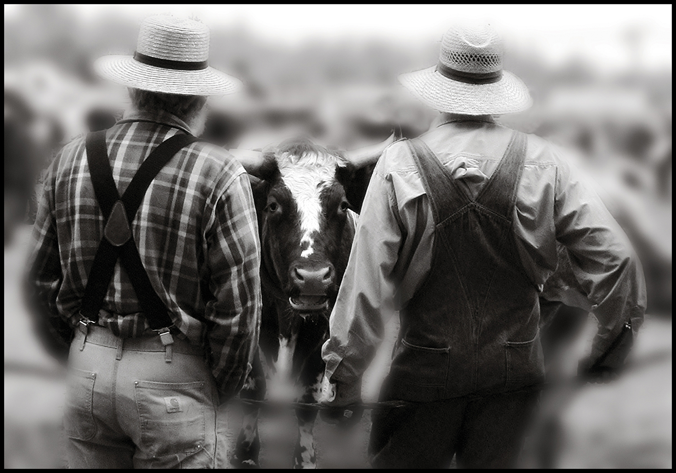
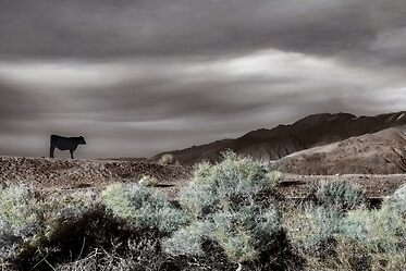
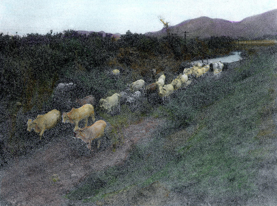
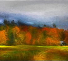
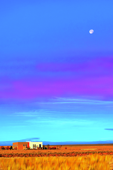
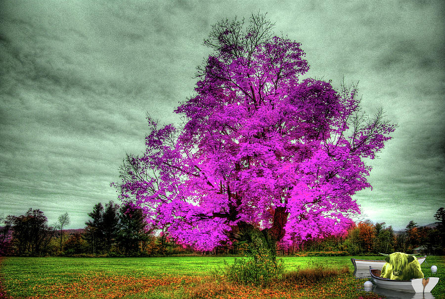
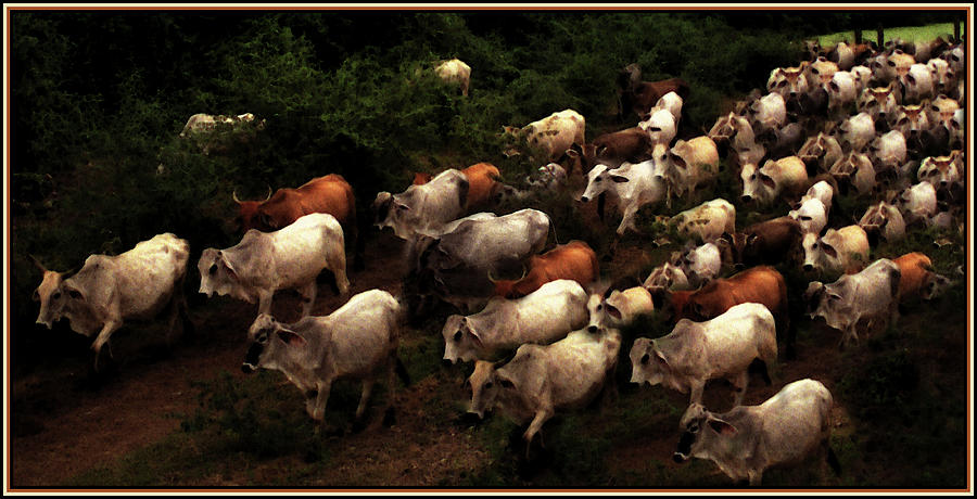
Goatherds Under a Painted Sky
|


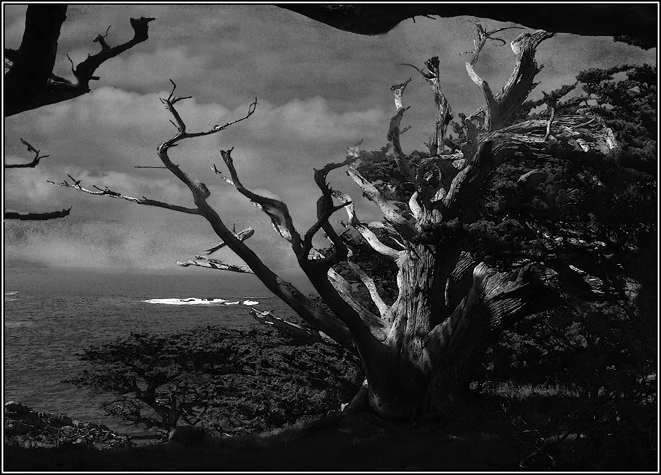 |
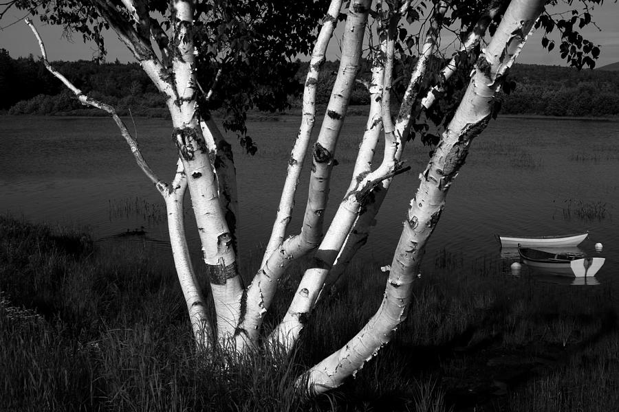
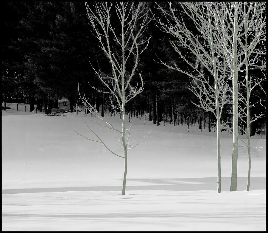
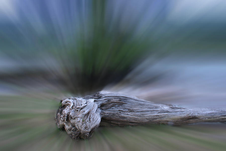
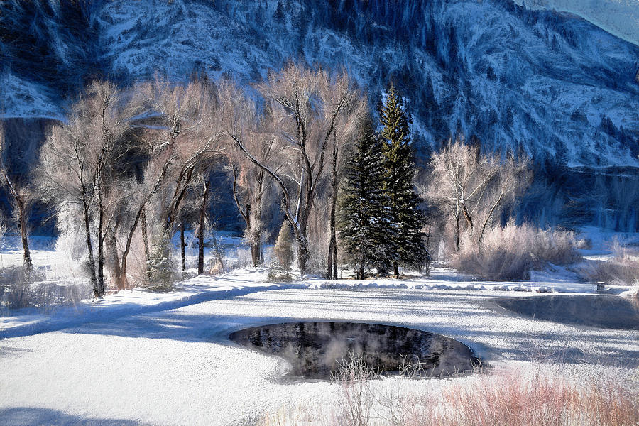
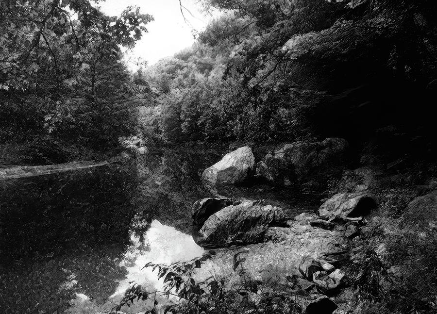
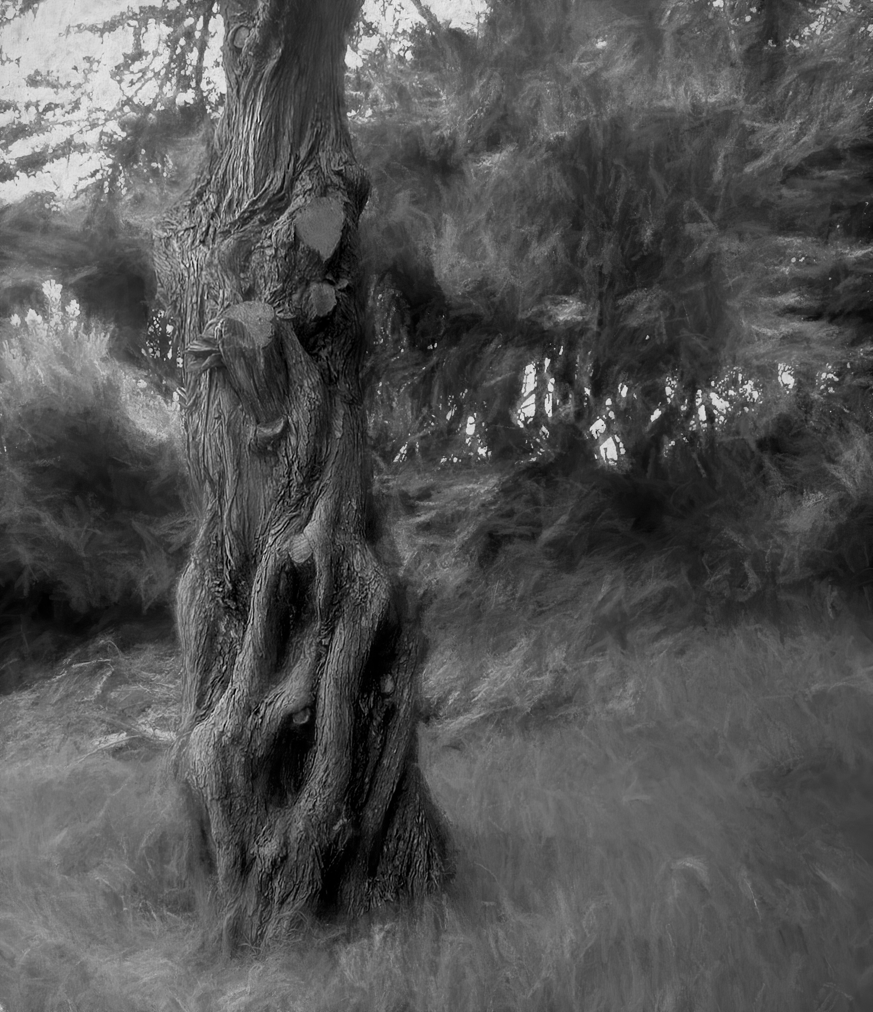
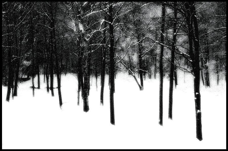
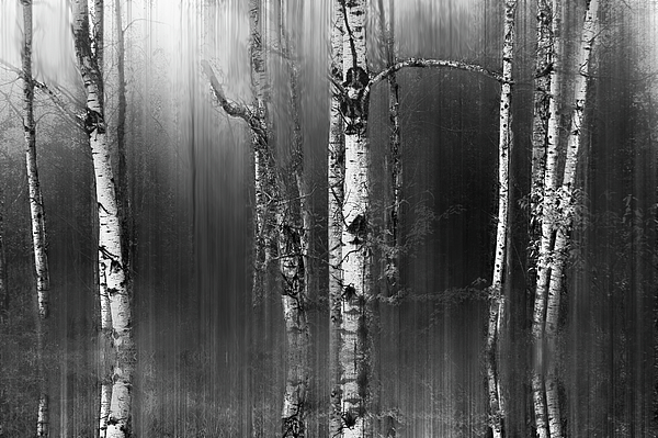
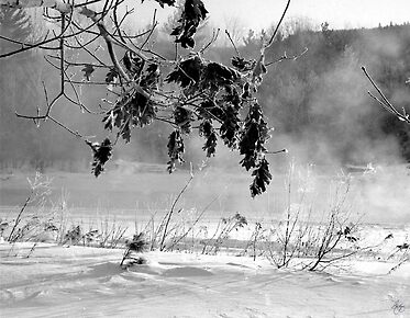
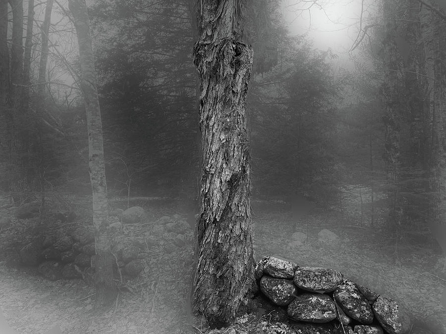
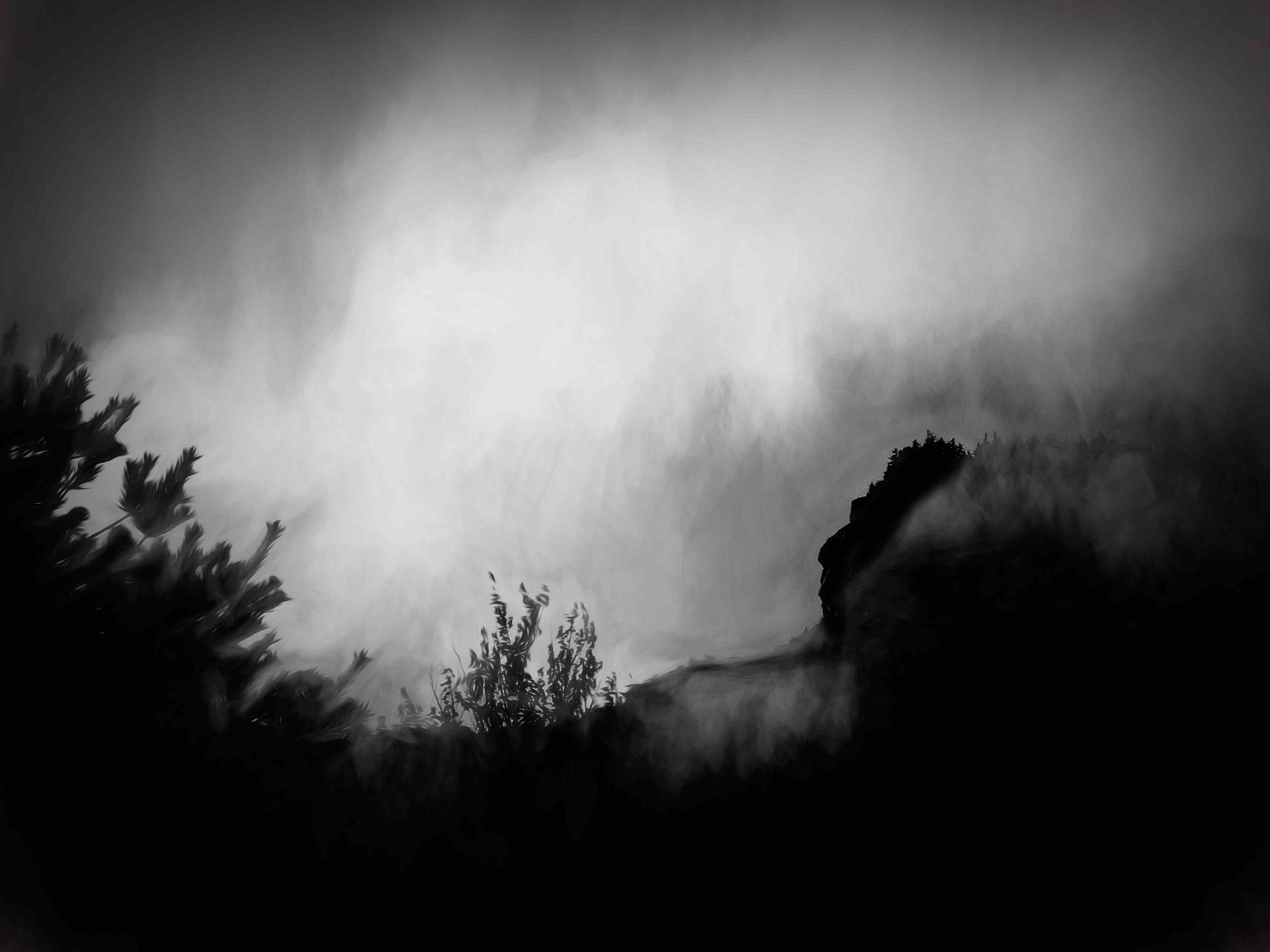
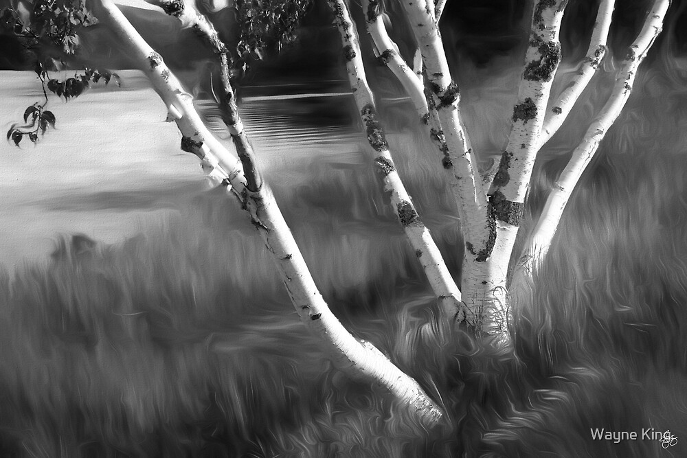
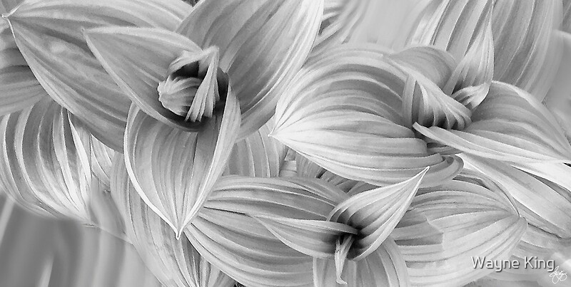
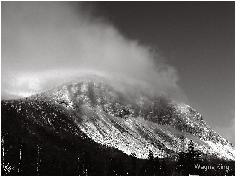
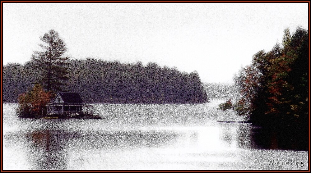
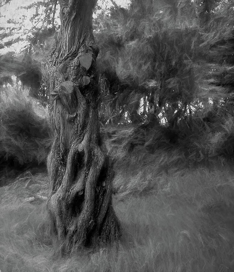
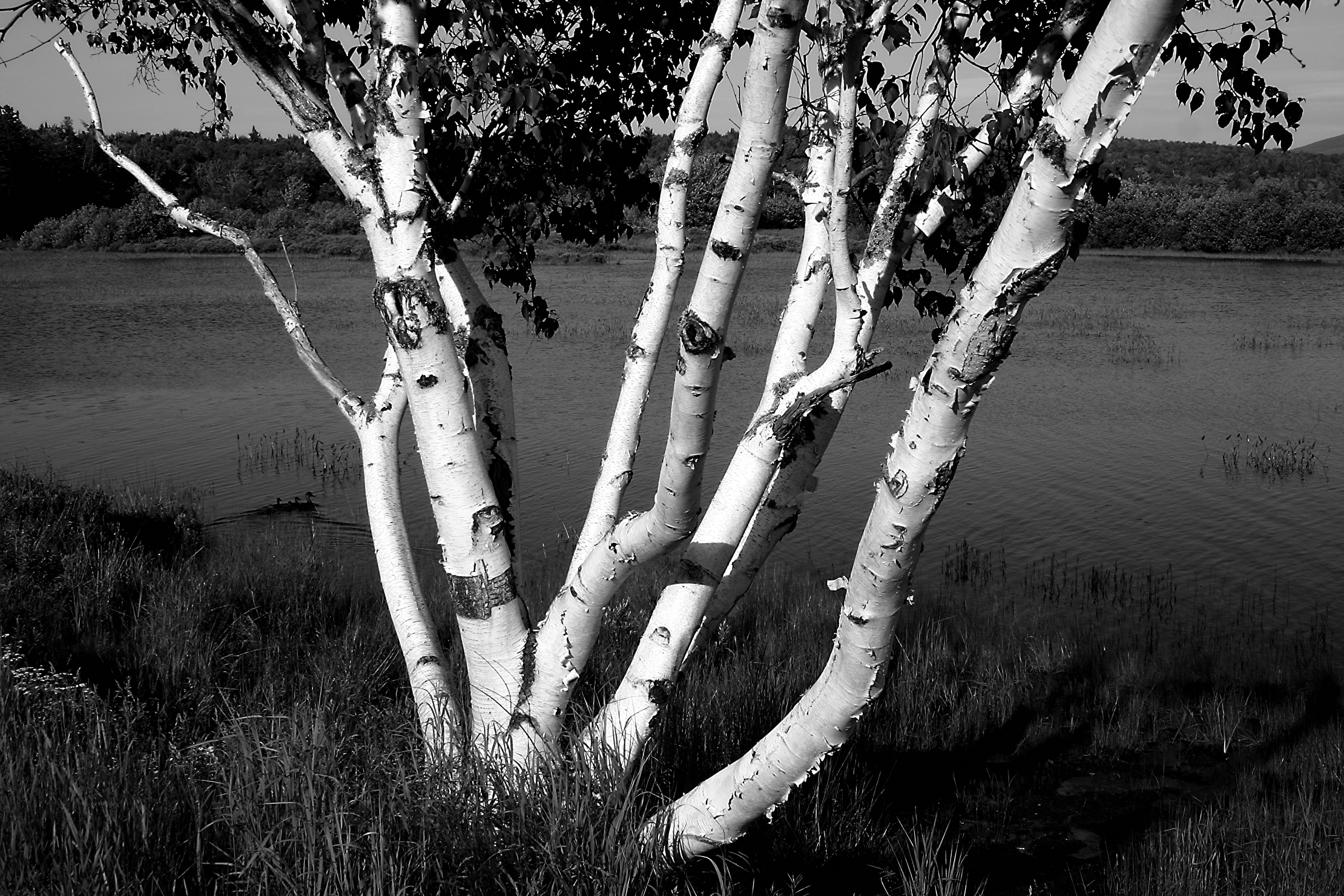
| Point Lobos Cypress Monochrome Original Signed Art Open edition |
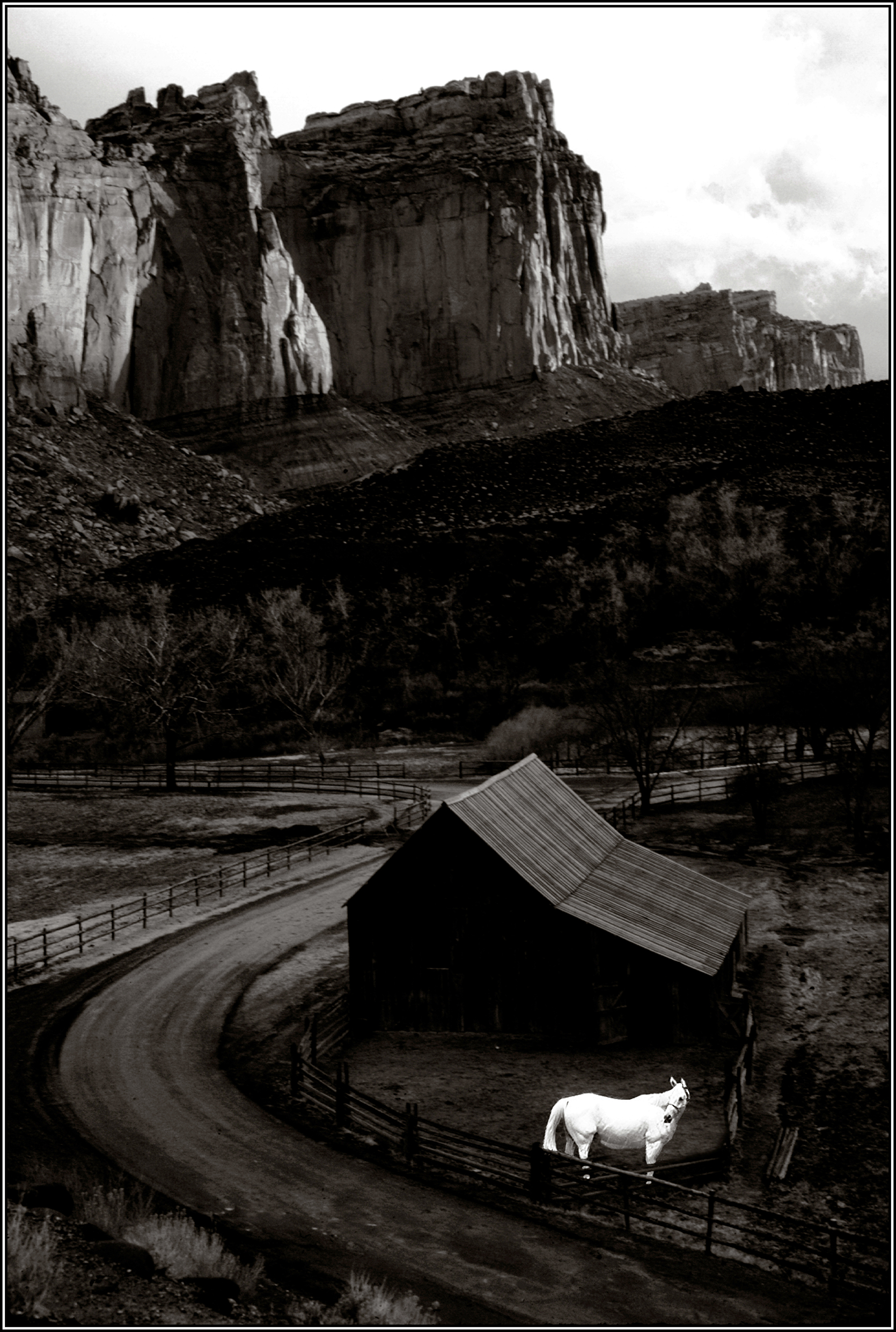 |
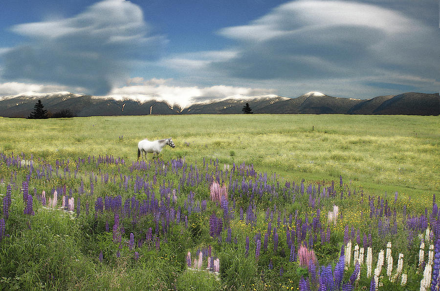
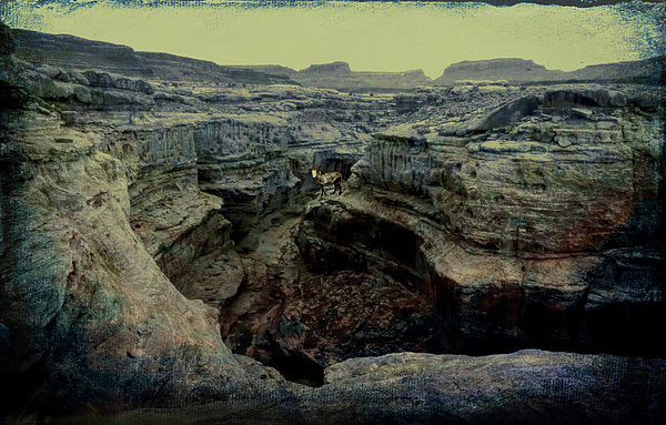
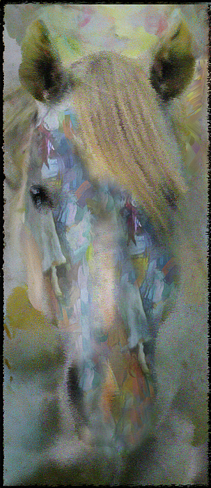
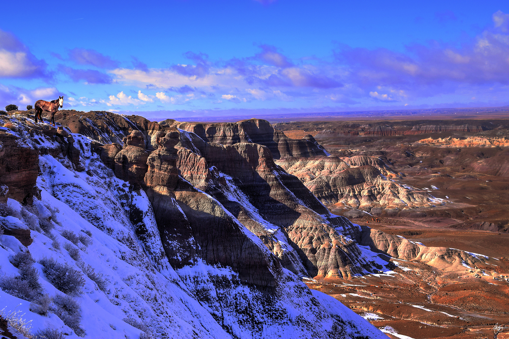
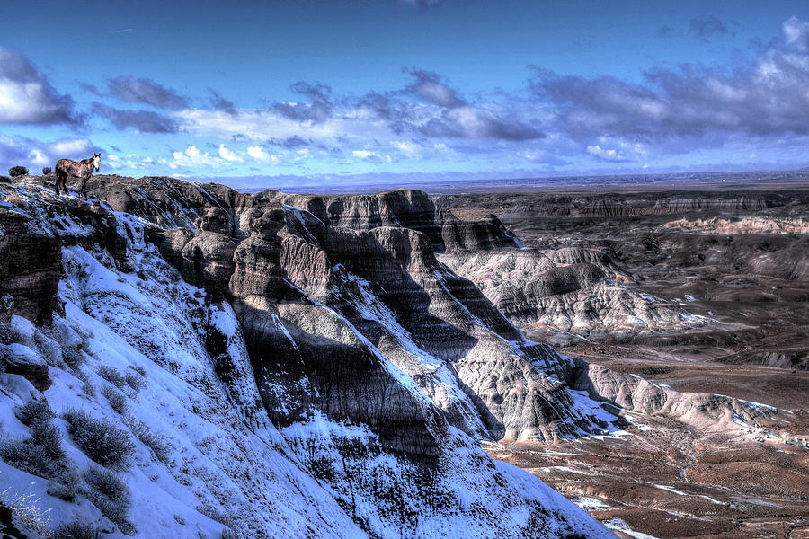
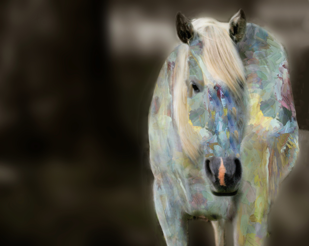
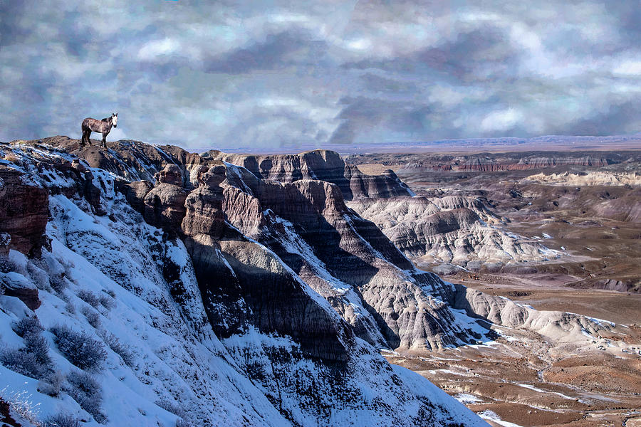
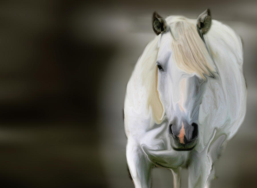
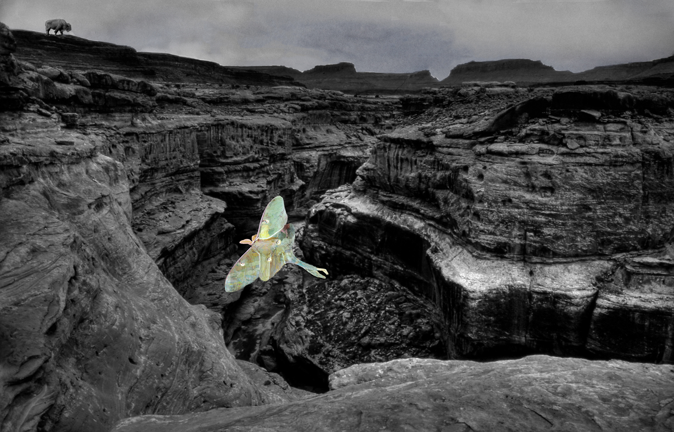
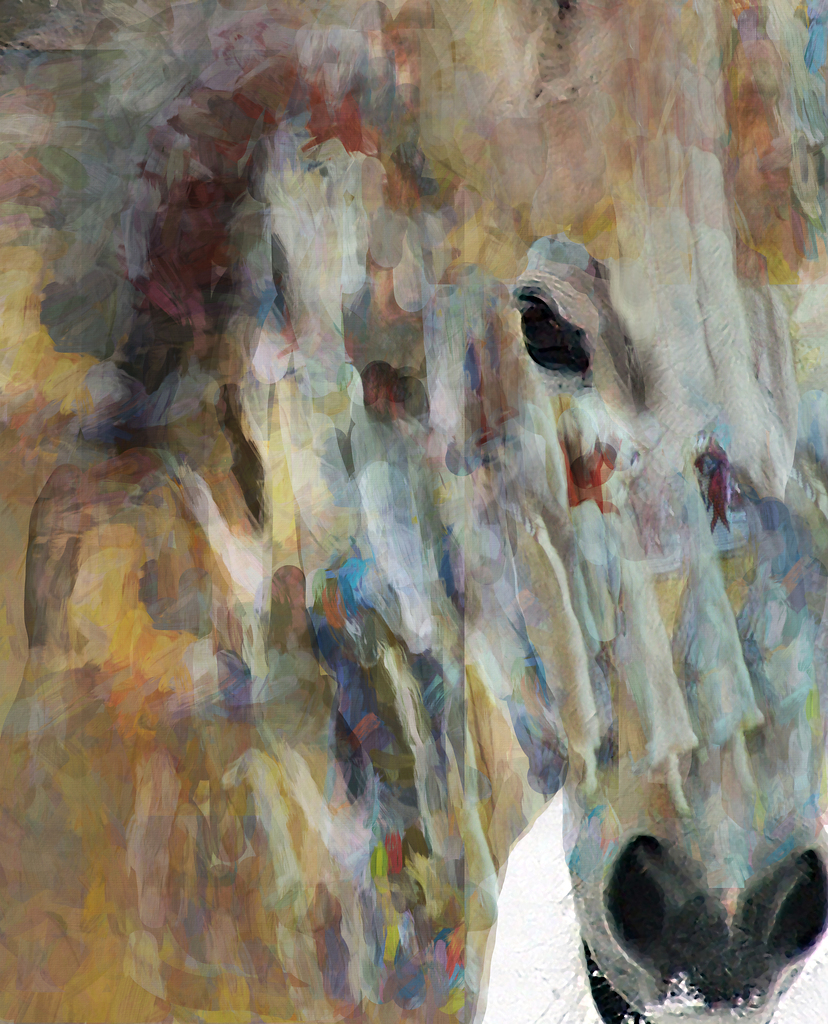
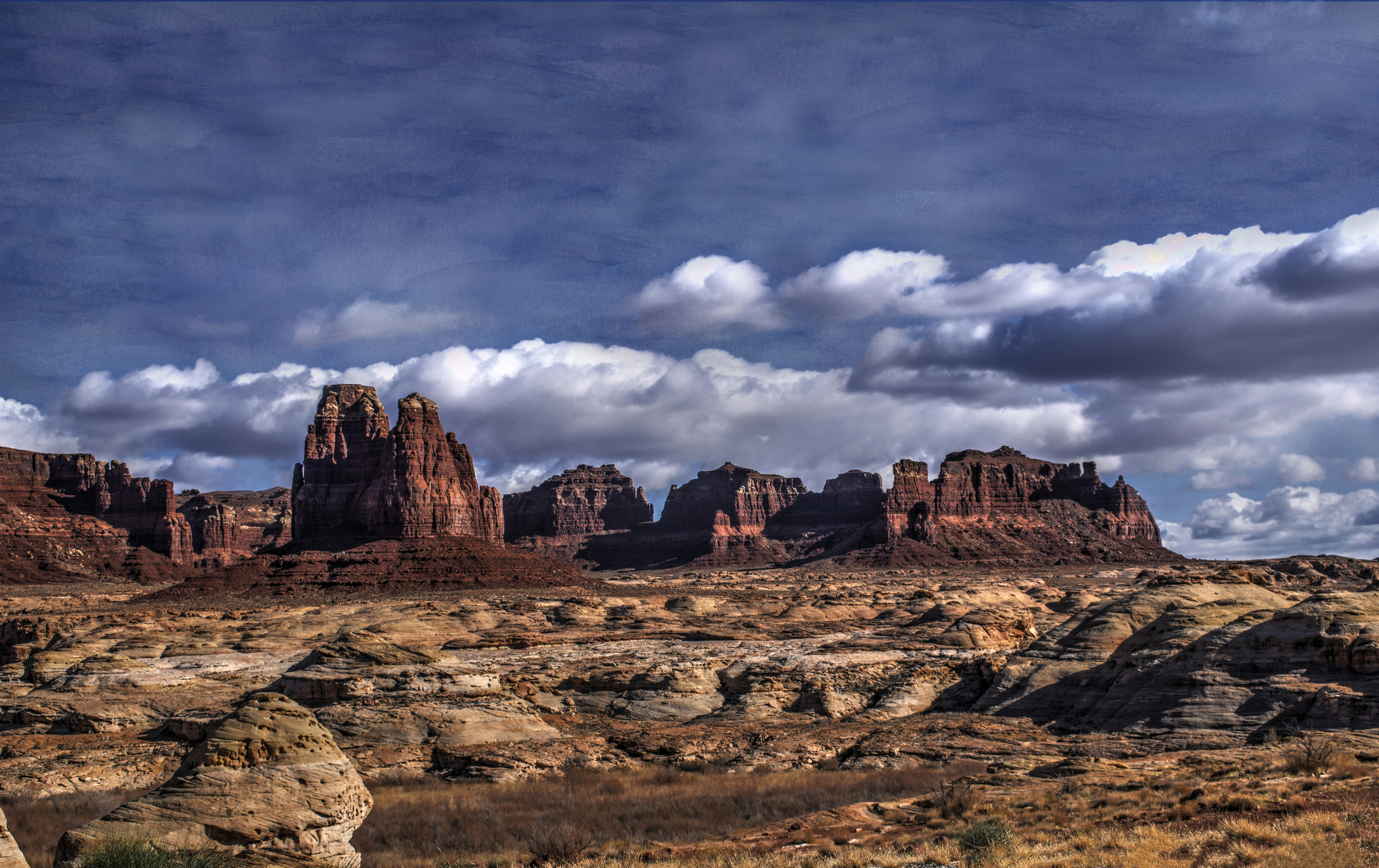
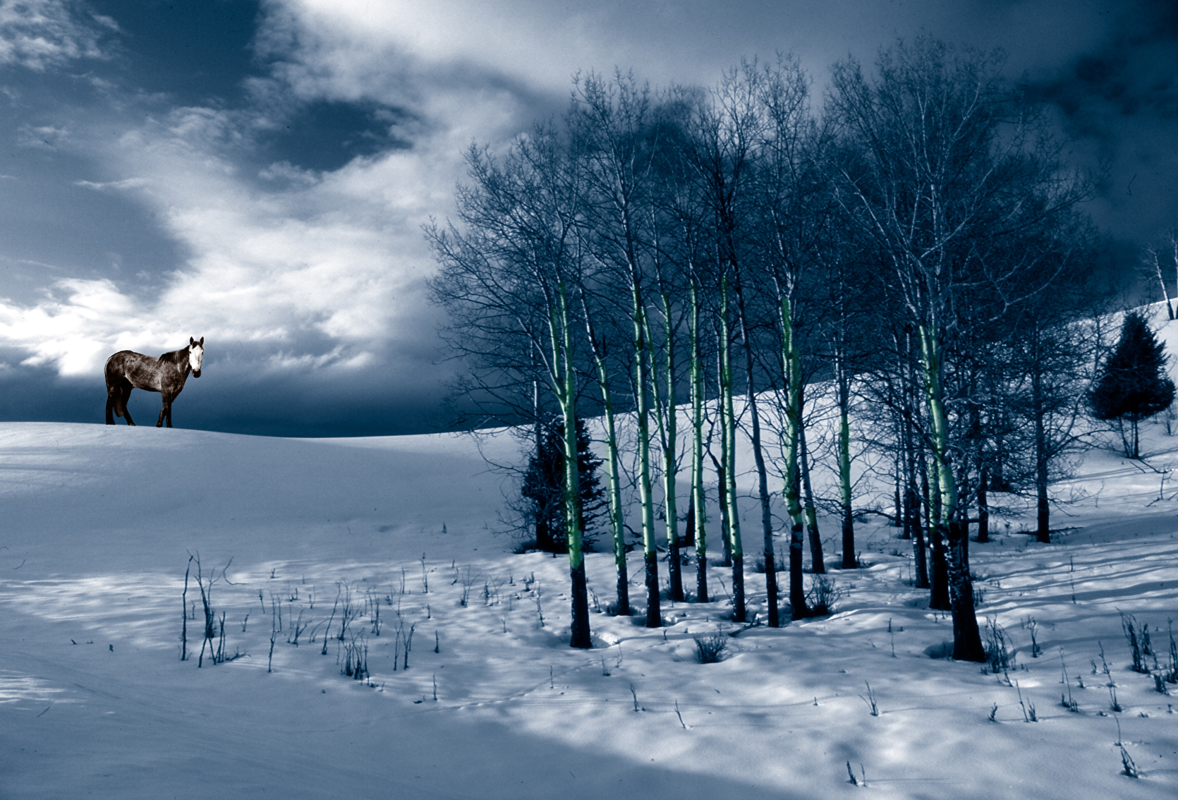
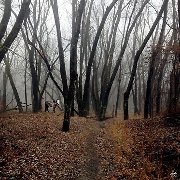
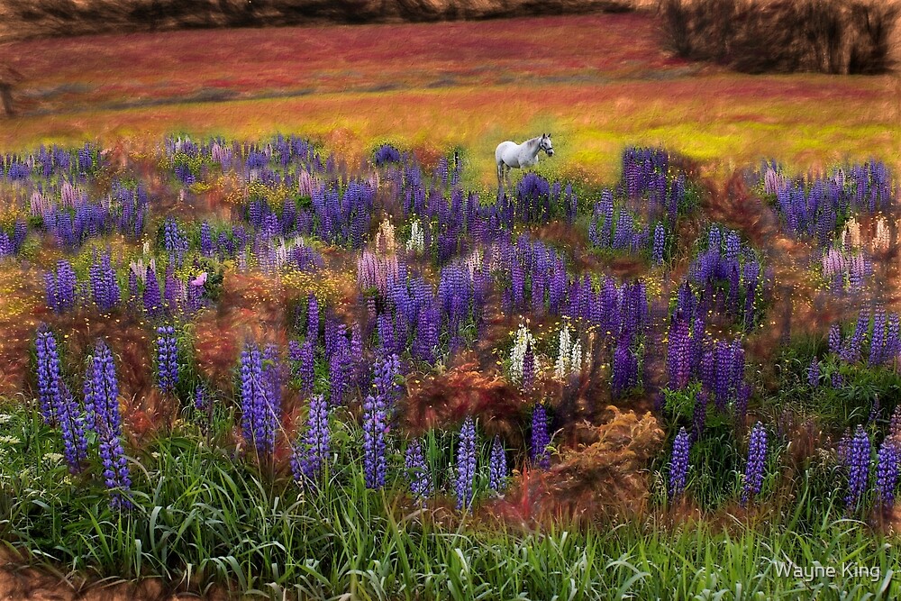
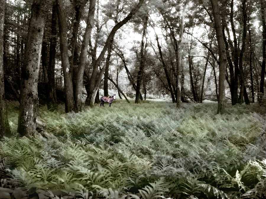
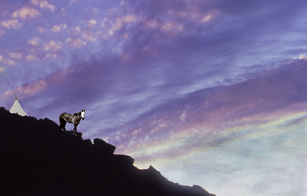
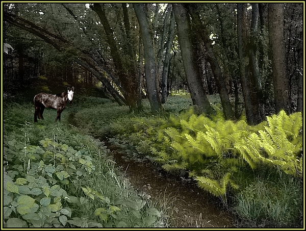
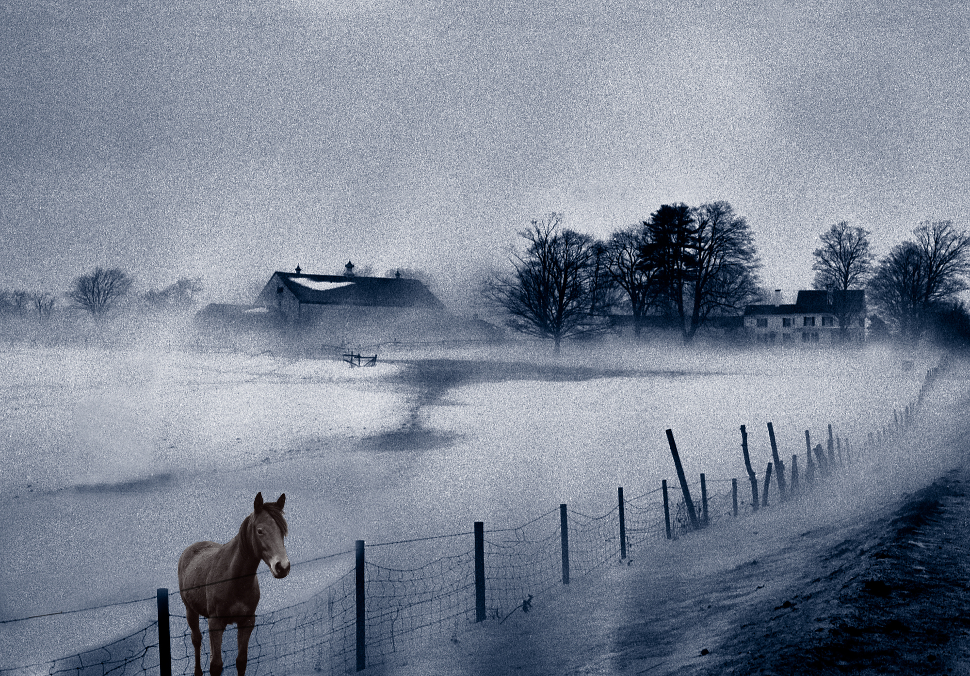
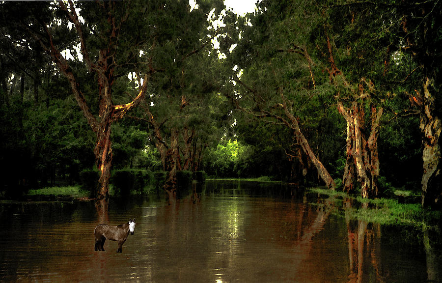
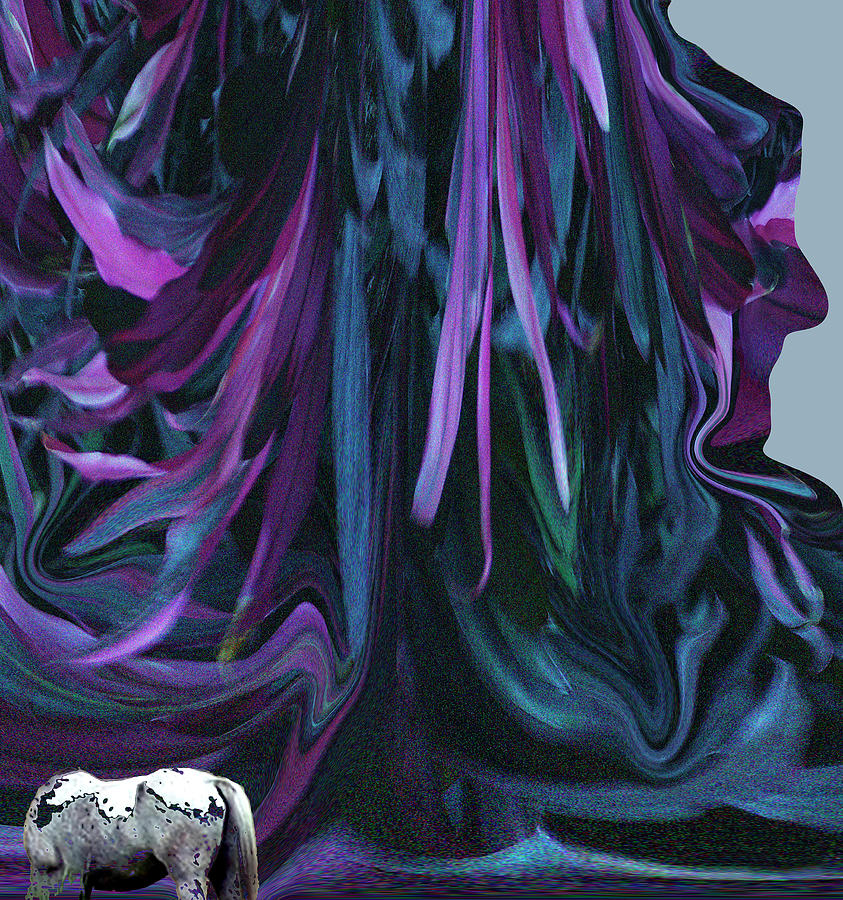
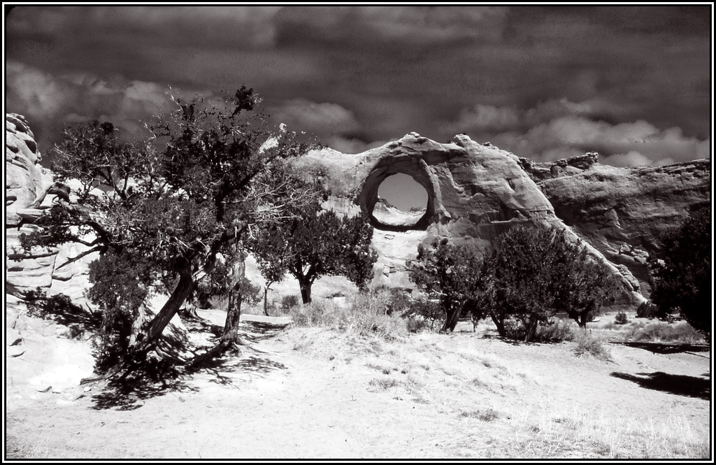
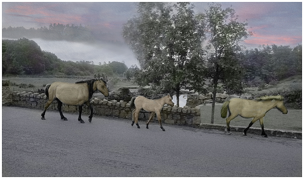
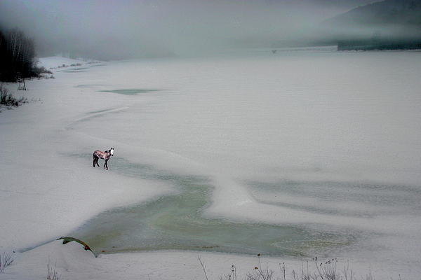
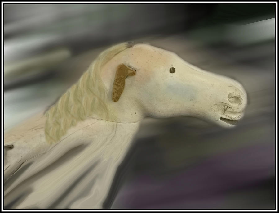
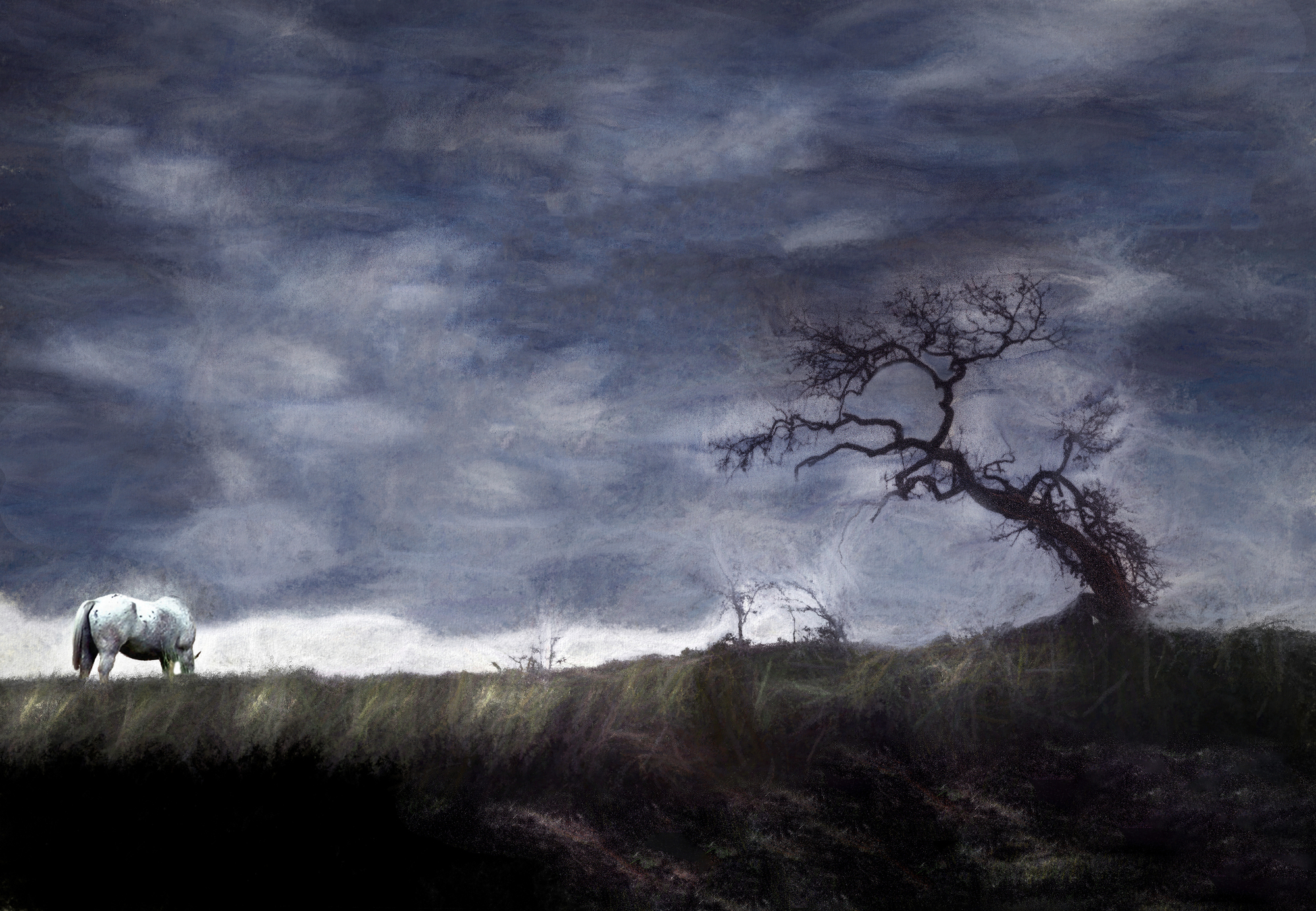
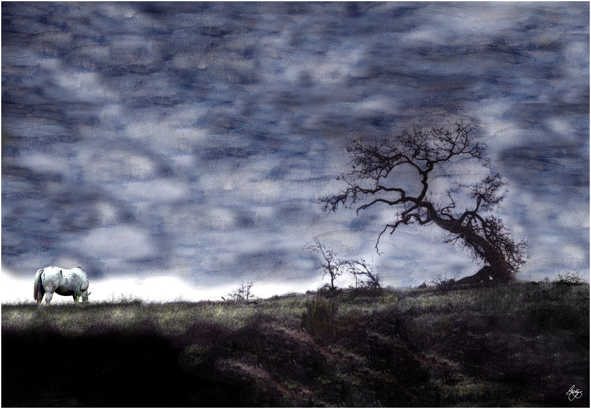
| White Horse Monochrome in Canyonlands Original Signed Art Open edition |
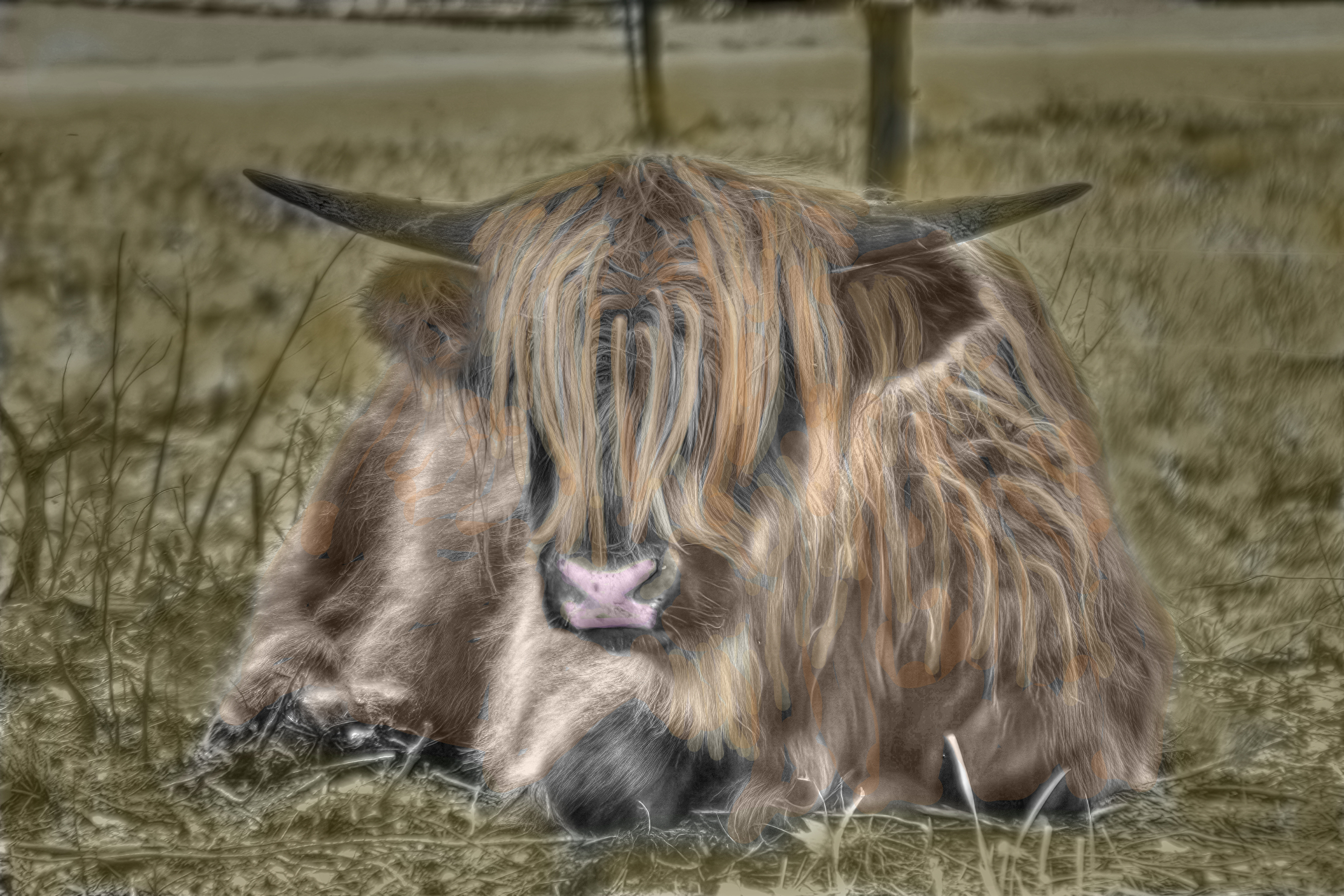 |
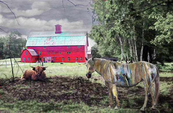
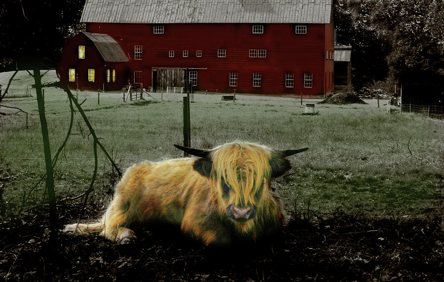
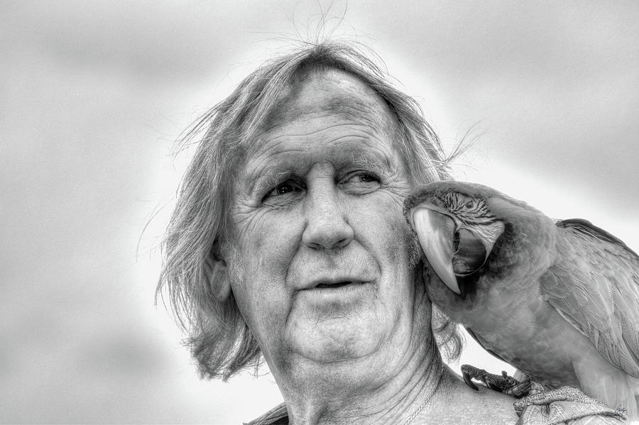
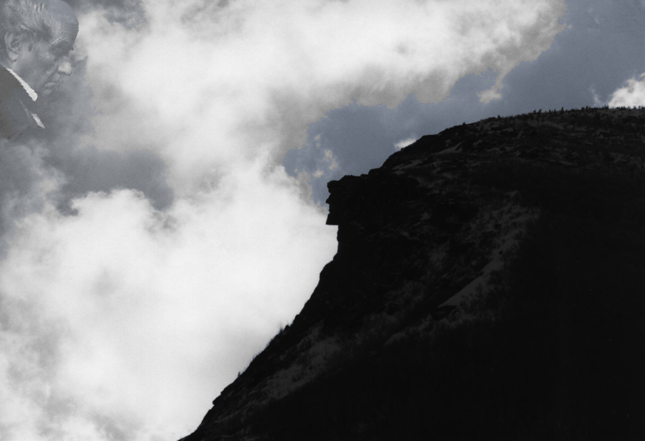
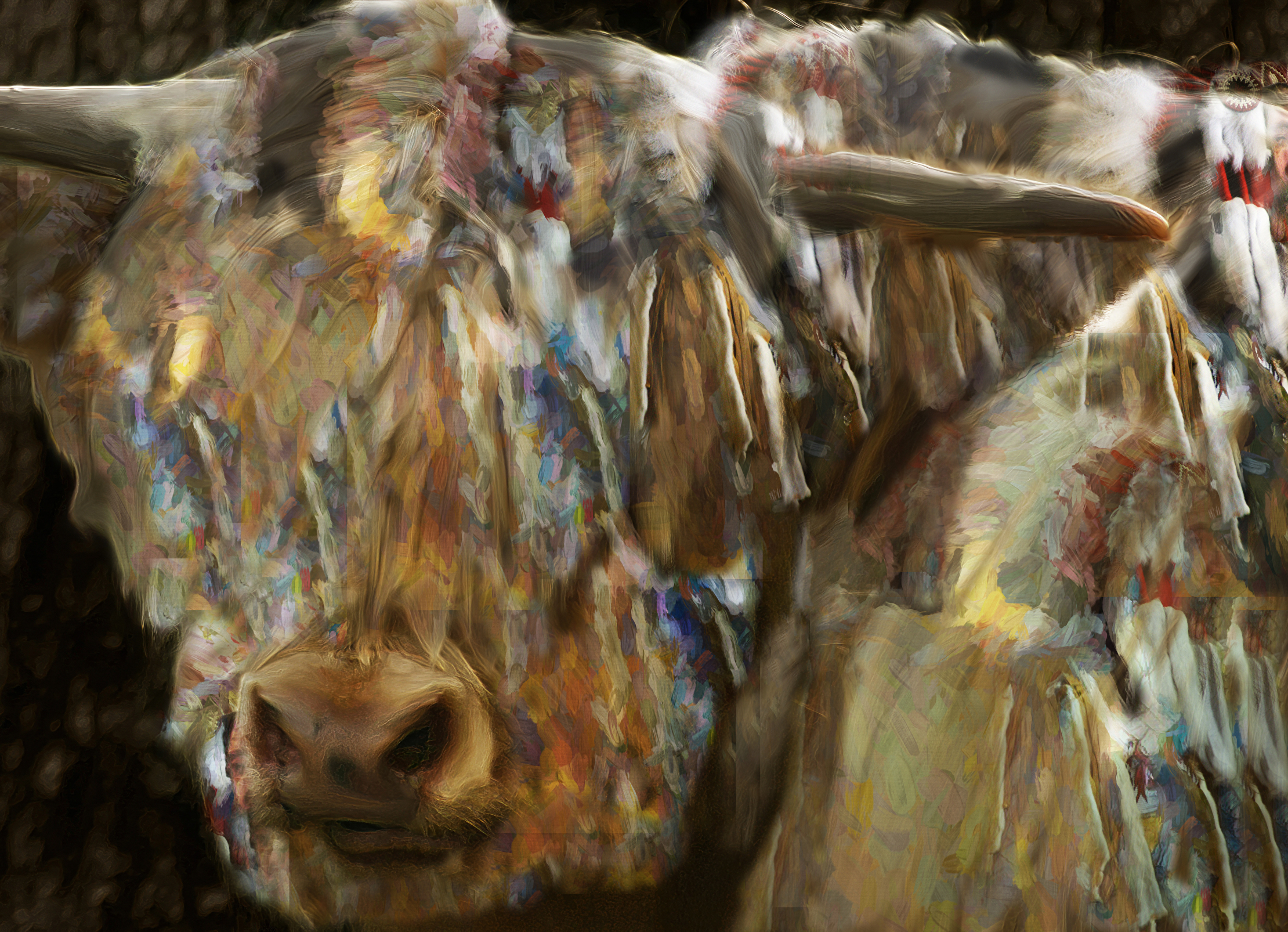
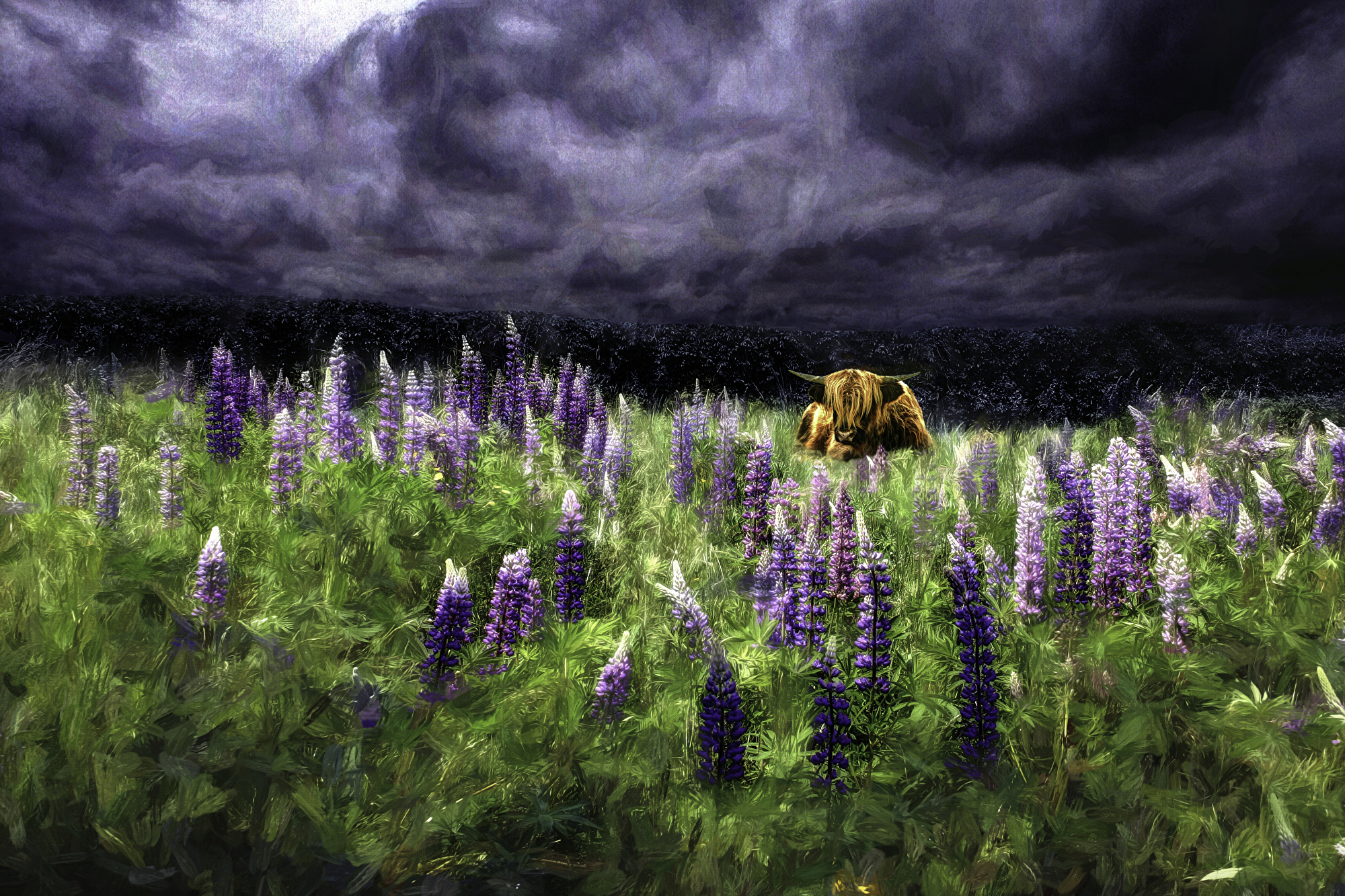
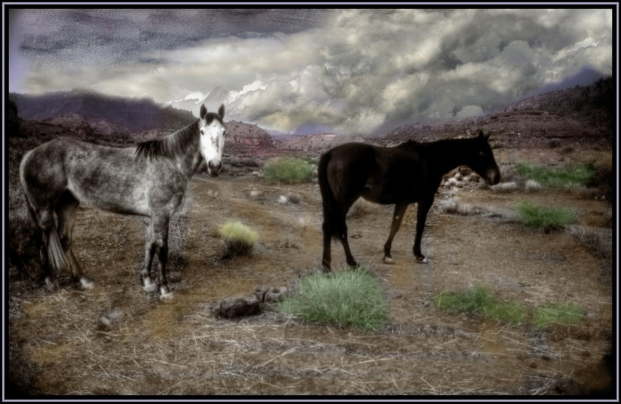
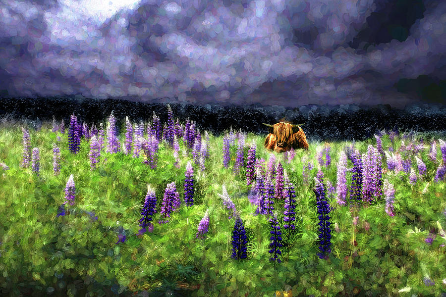
| The Highlander of Benton Heights Original Signed Art Open edition |
 |
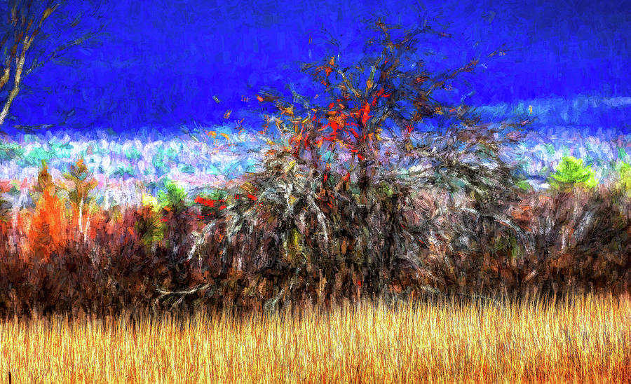
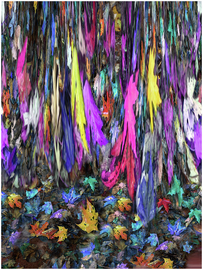
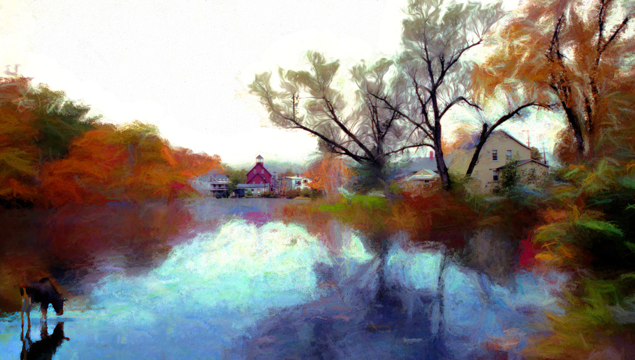
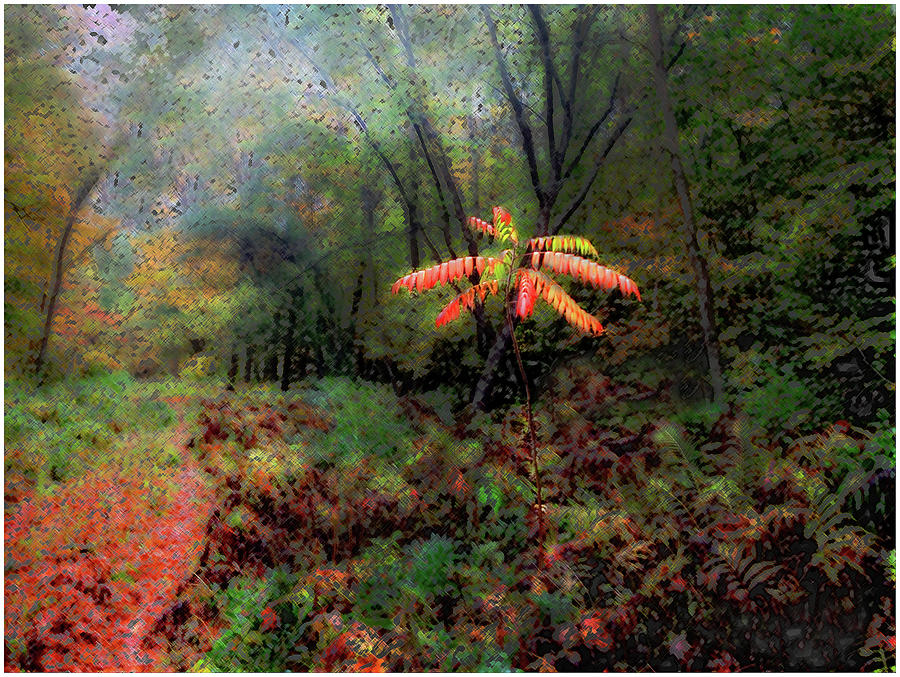
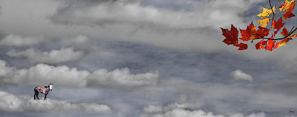
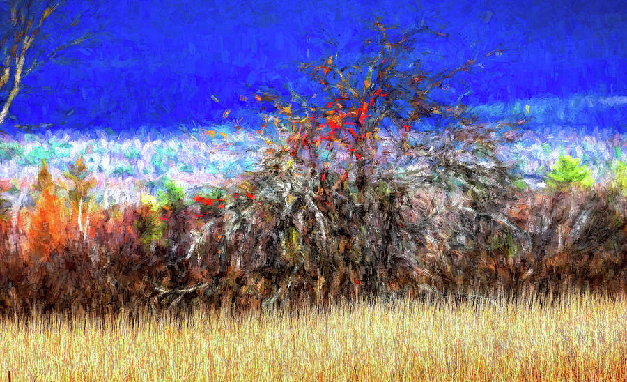
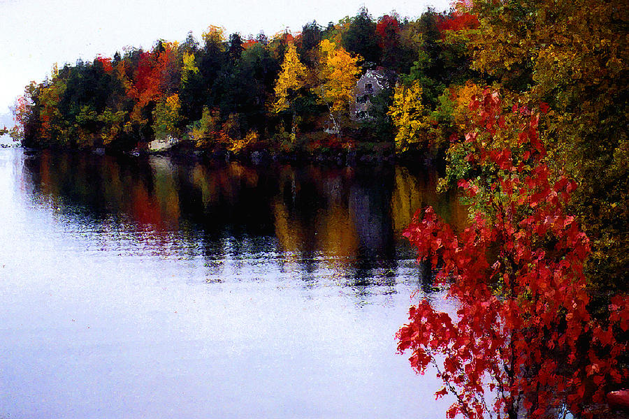
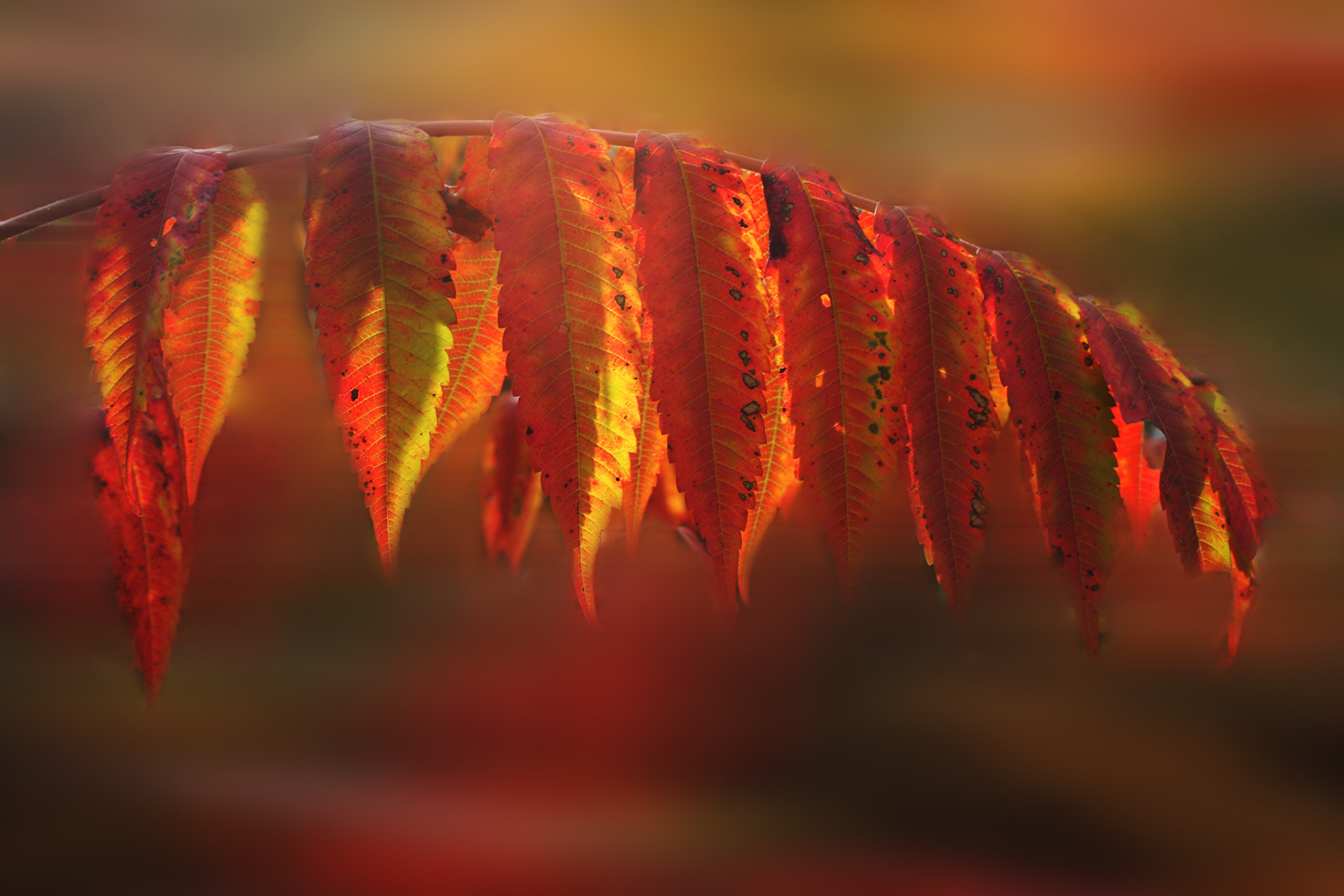
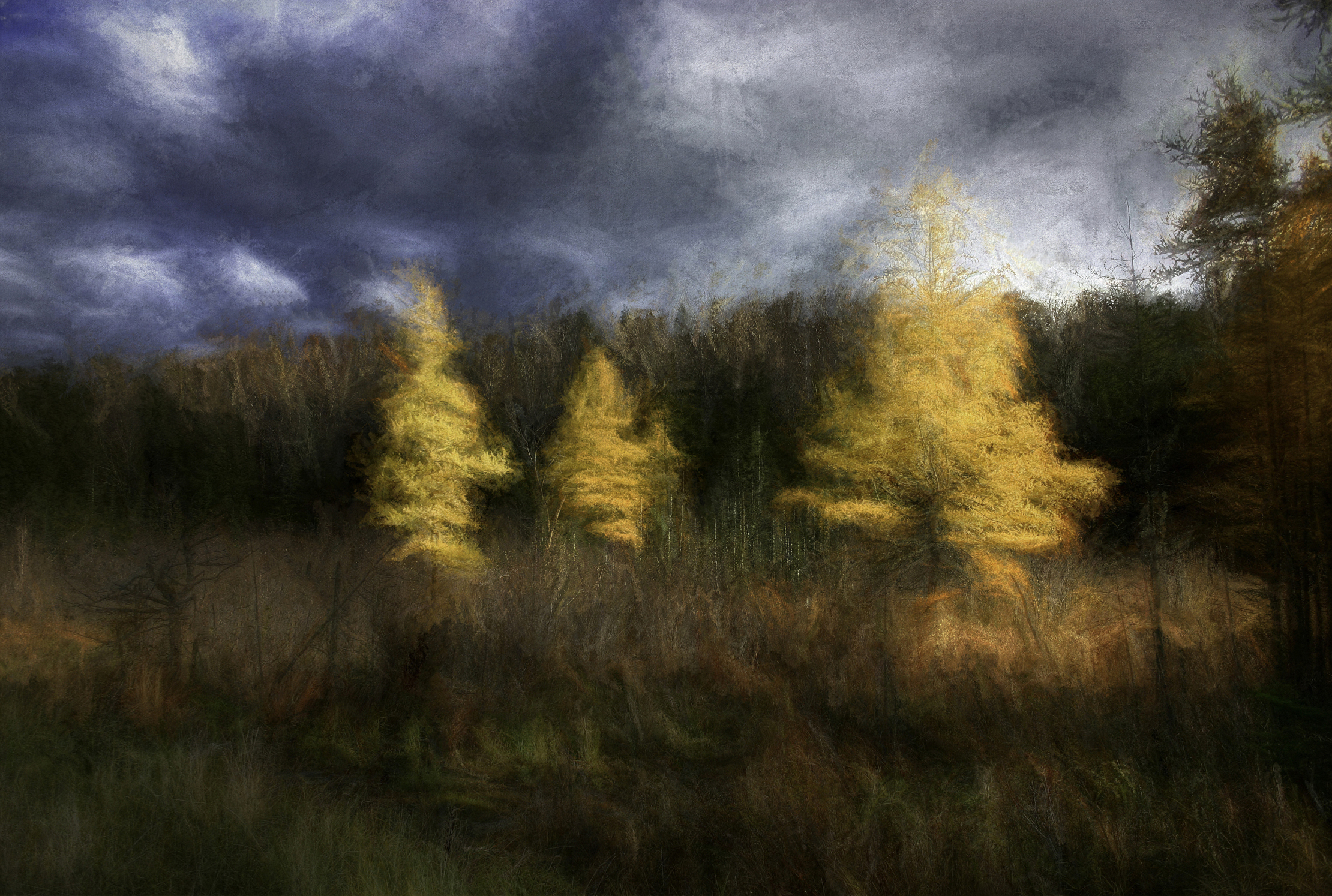
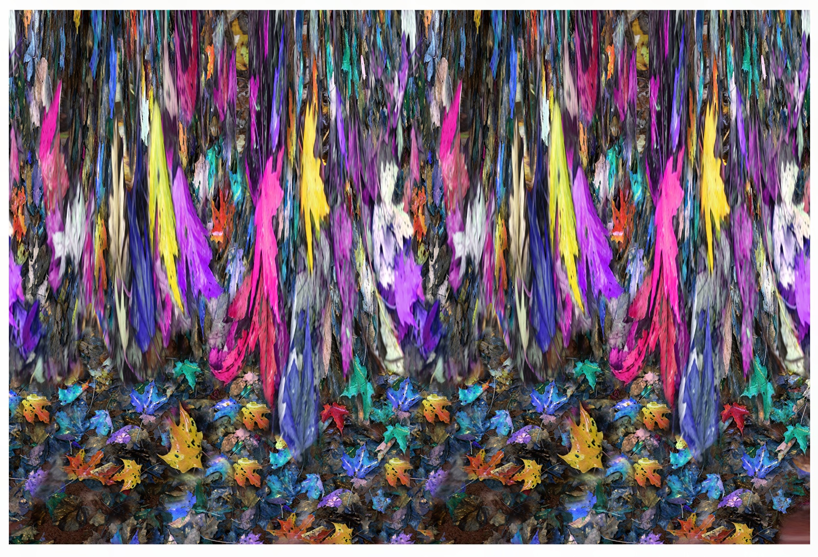
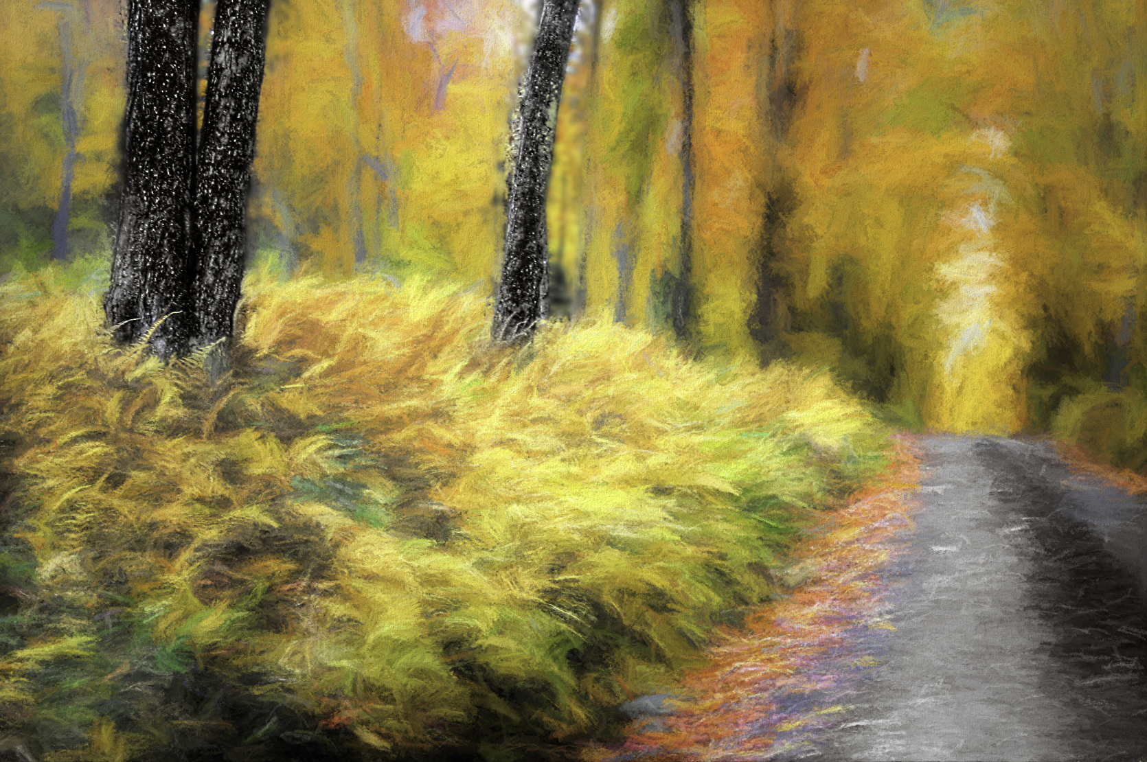
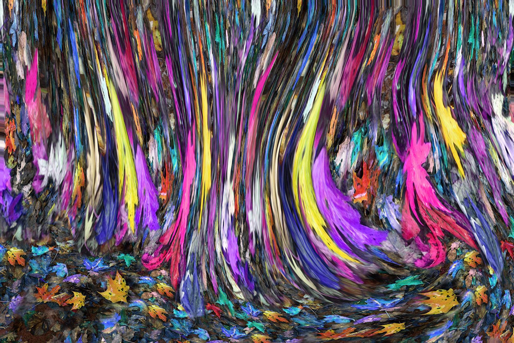
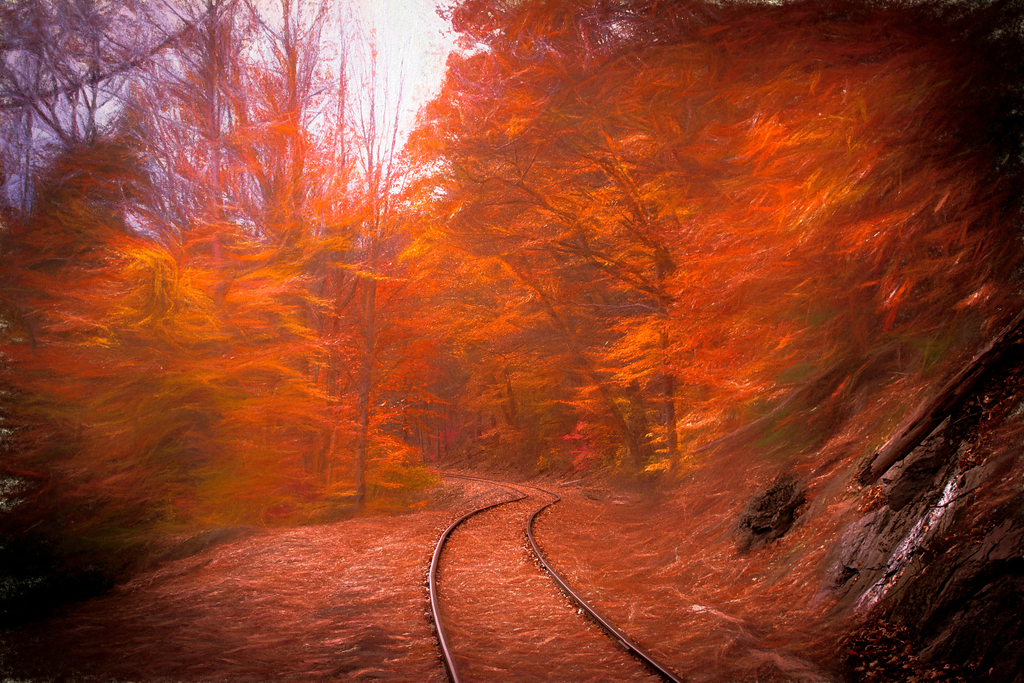
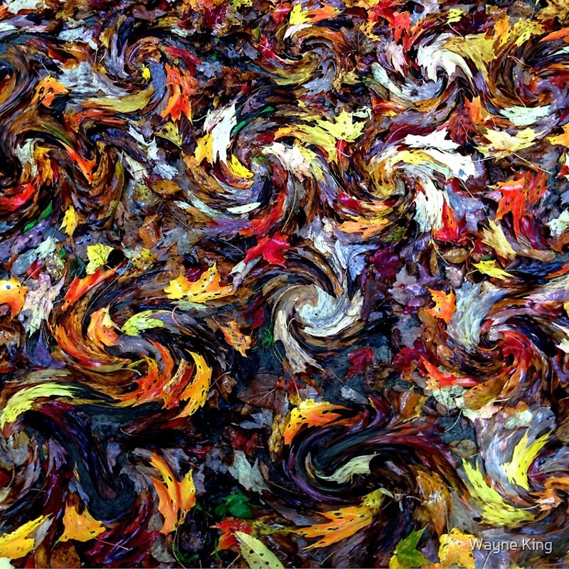
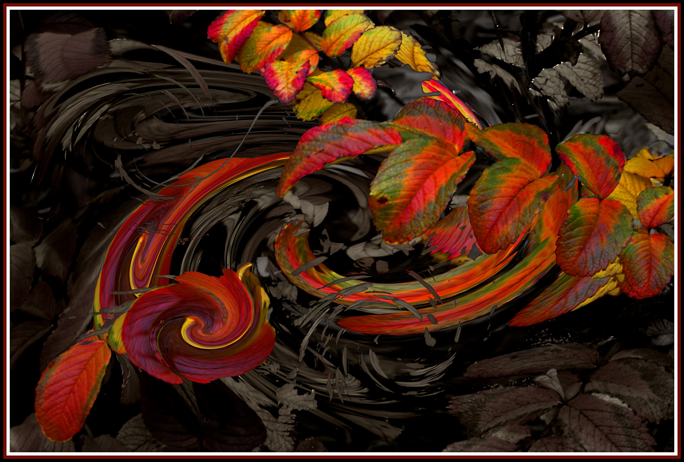
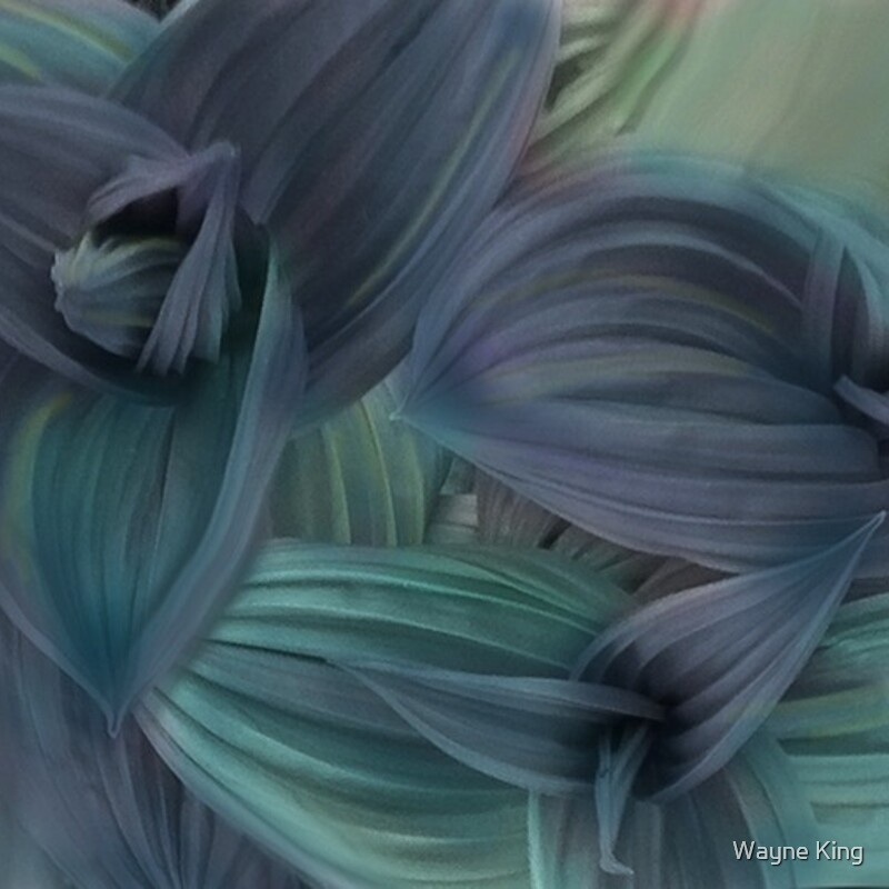
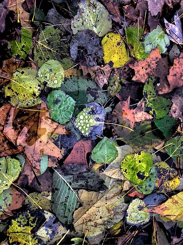
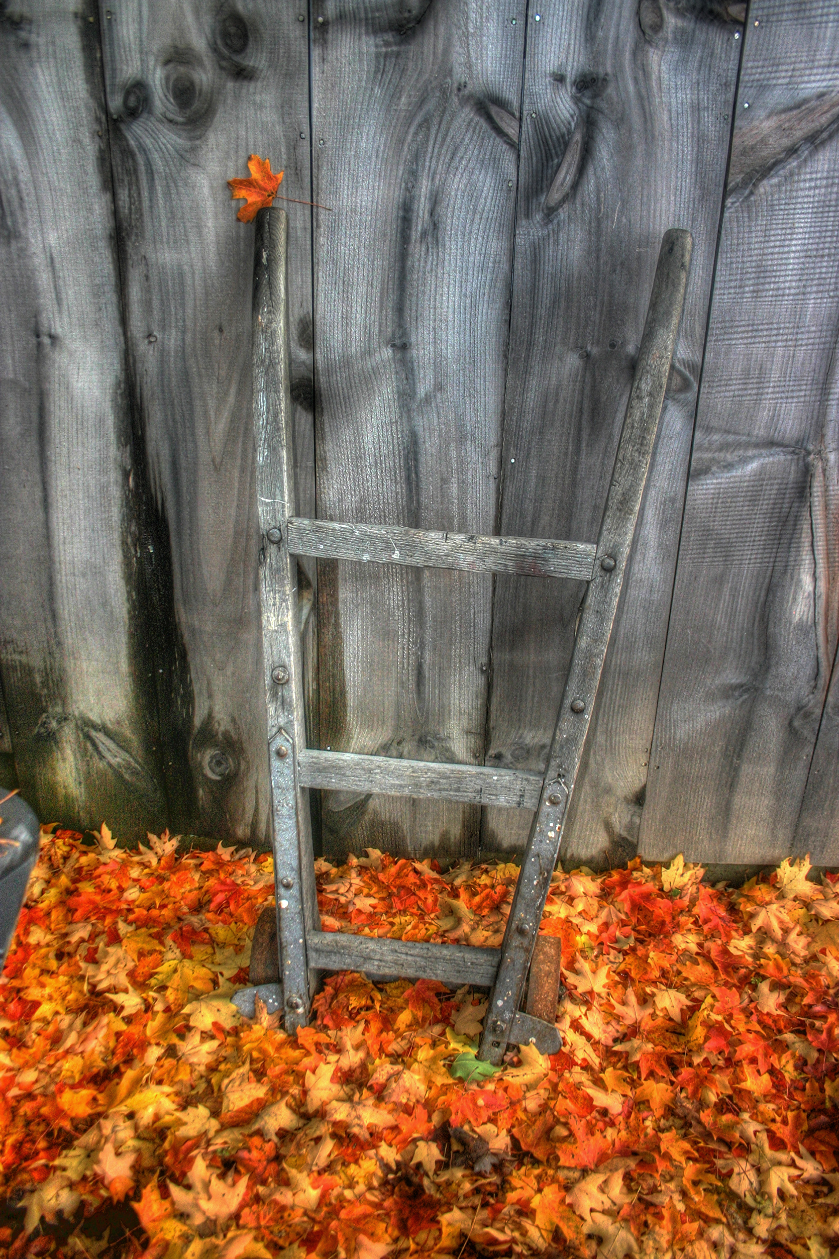
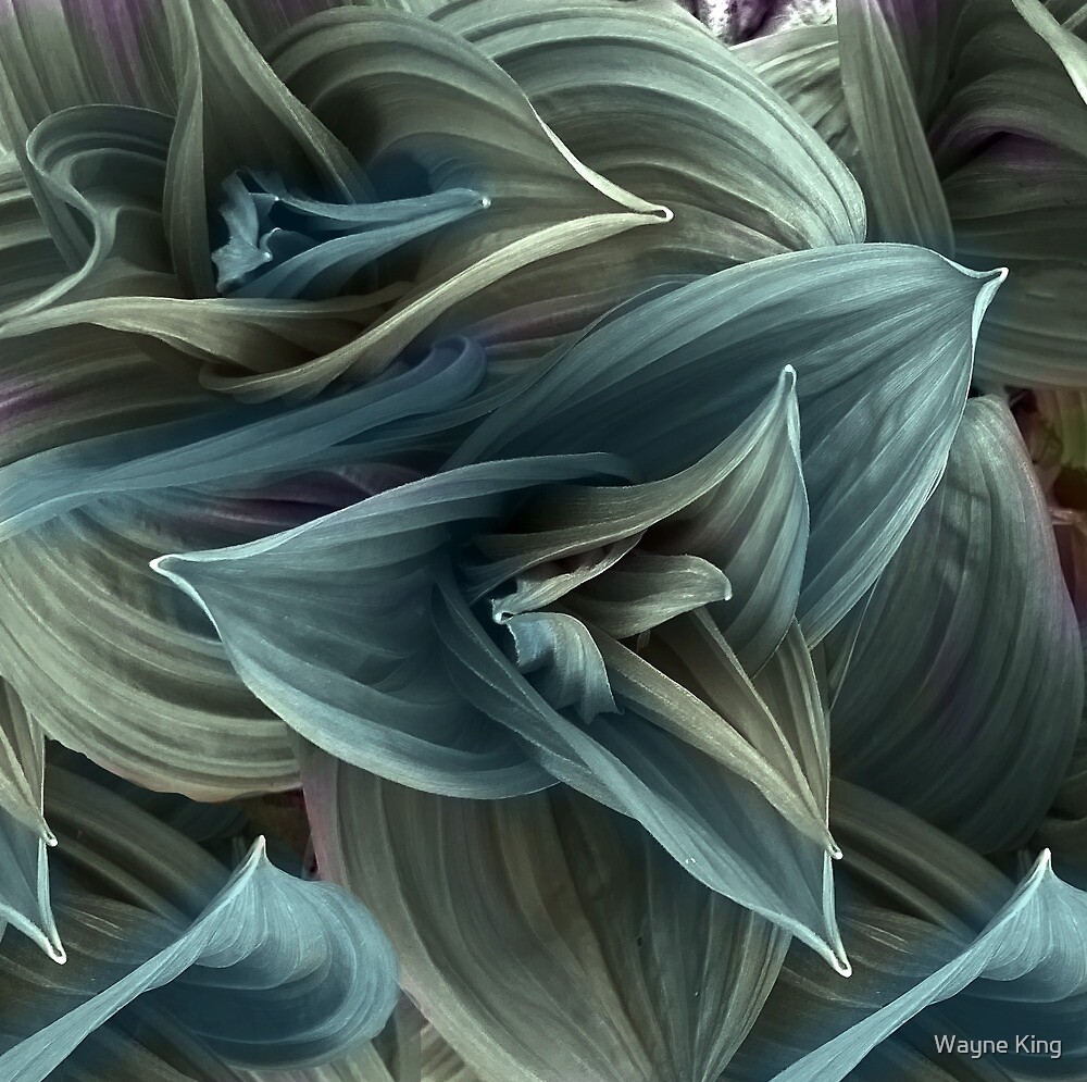
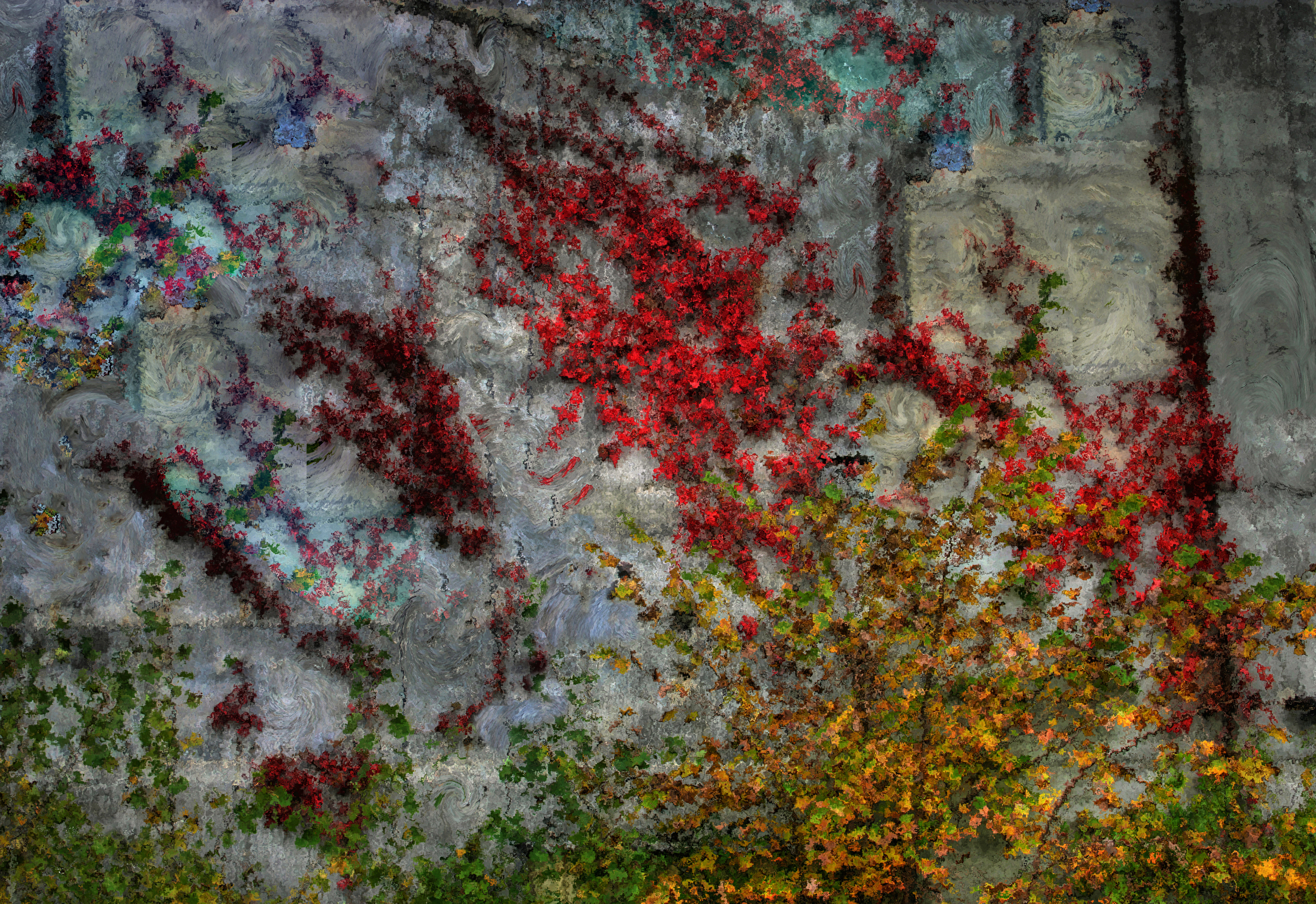
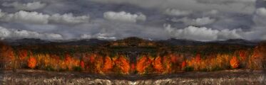
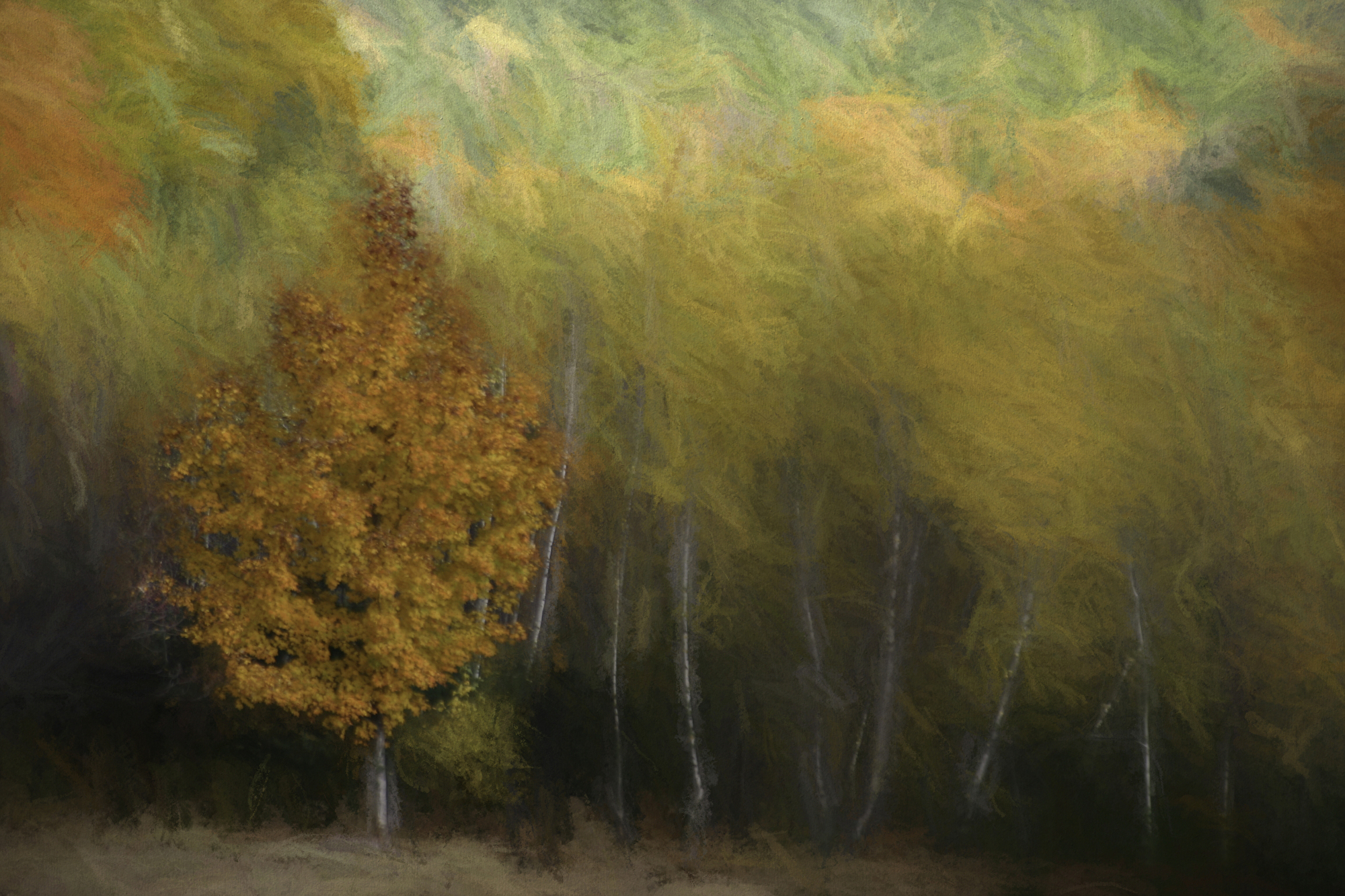
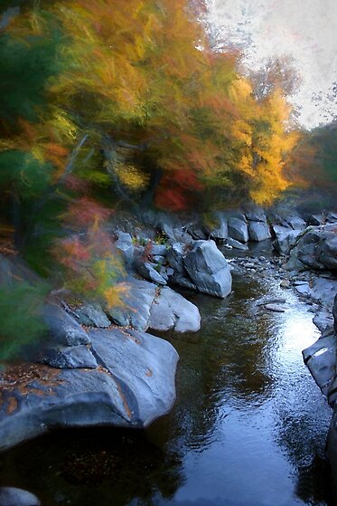
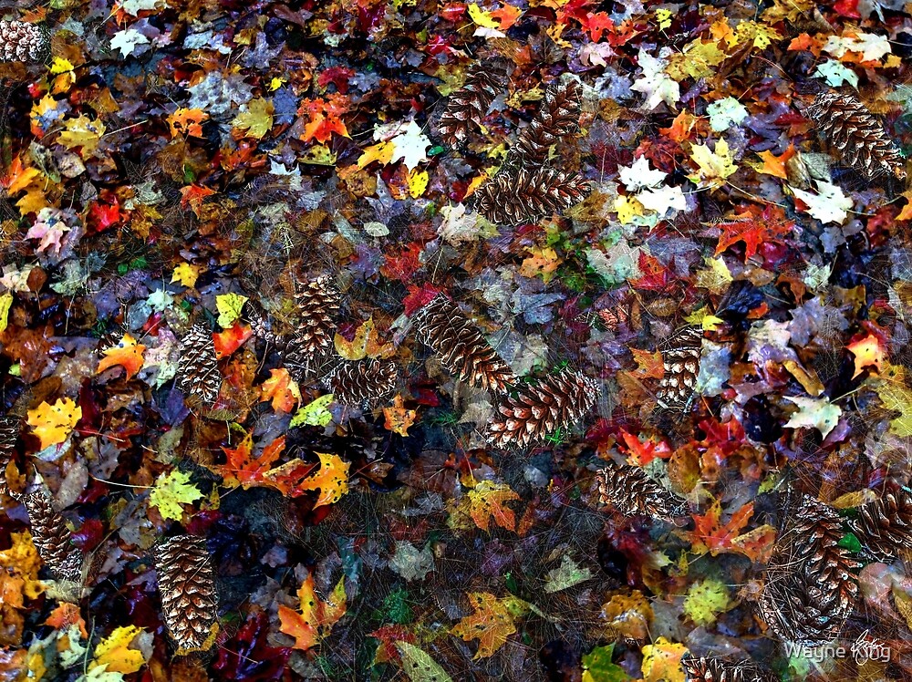
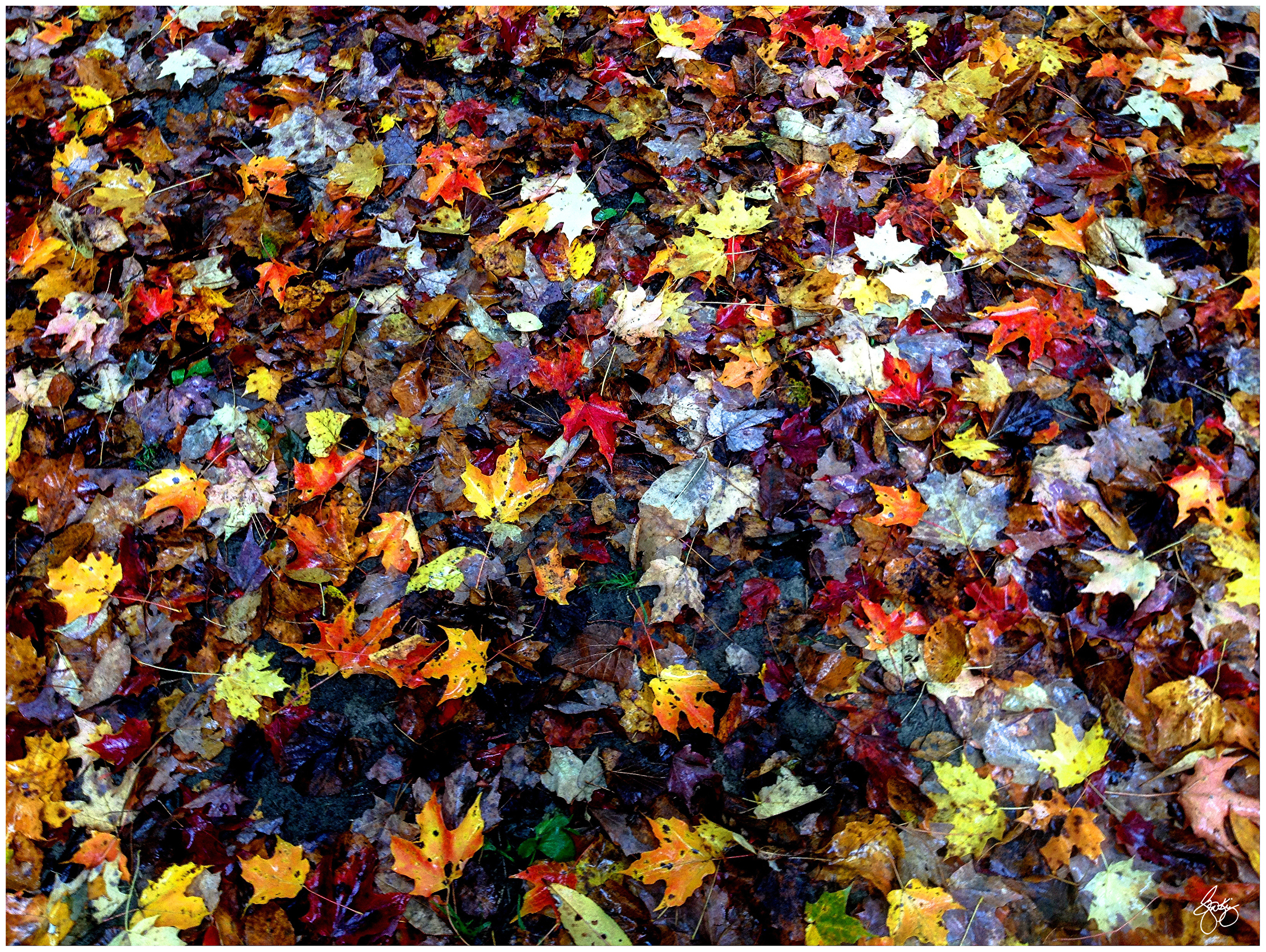
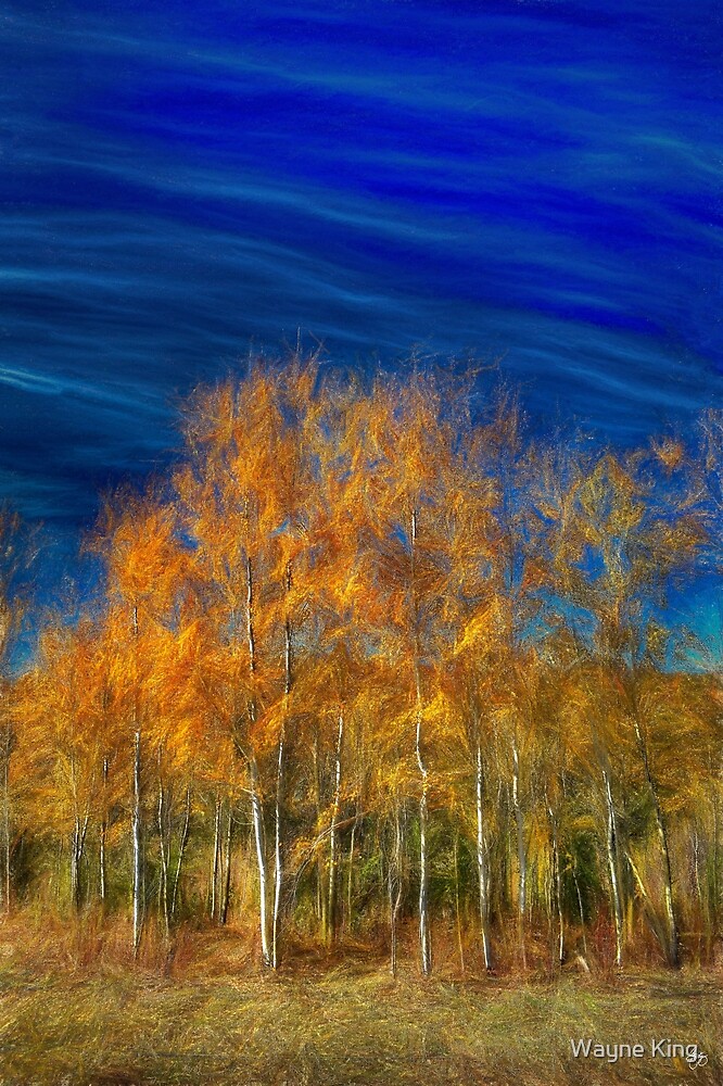
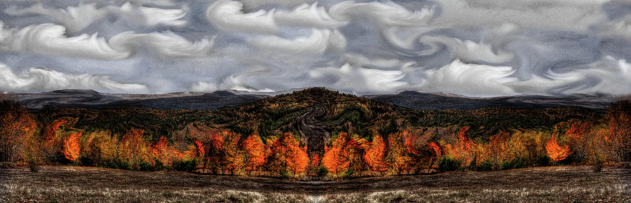
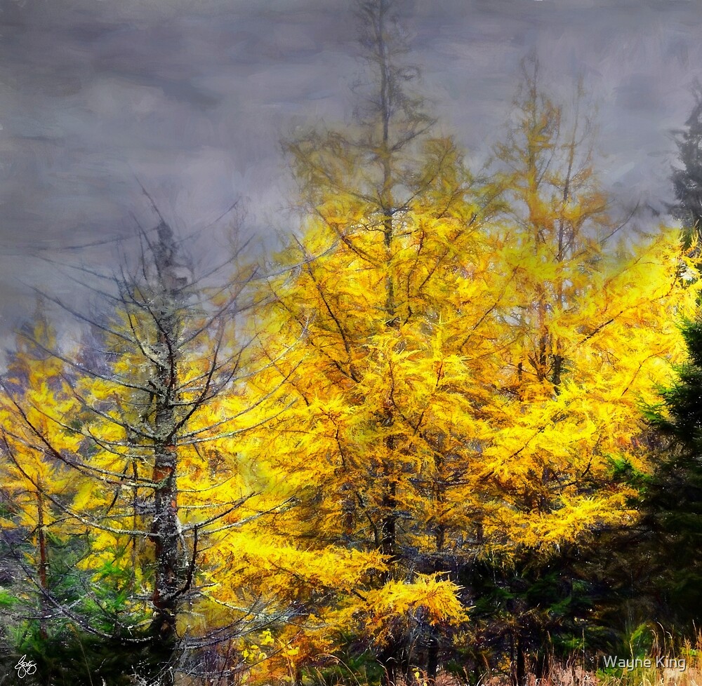
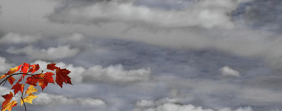
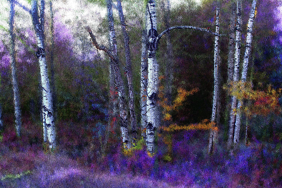
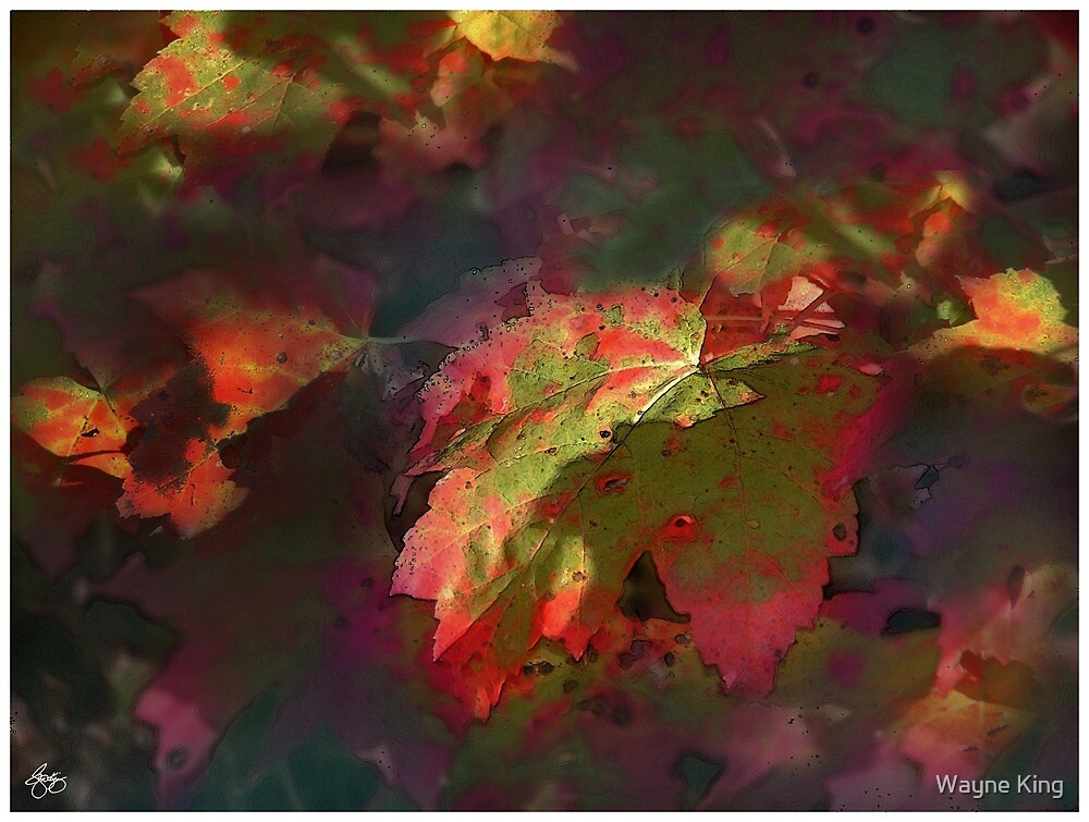
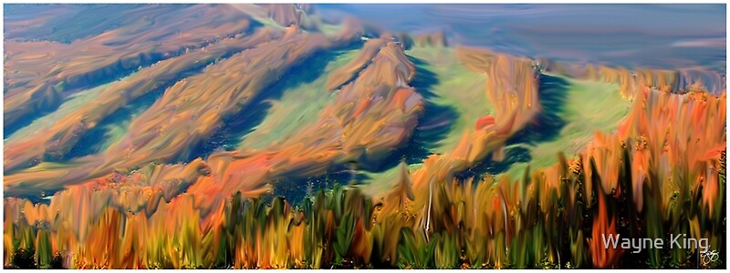
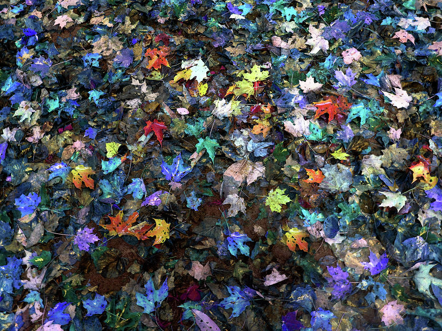
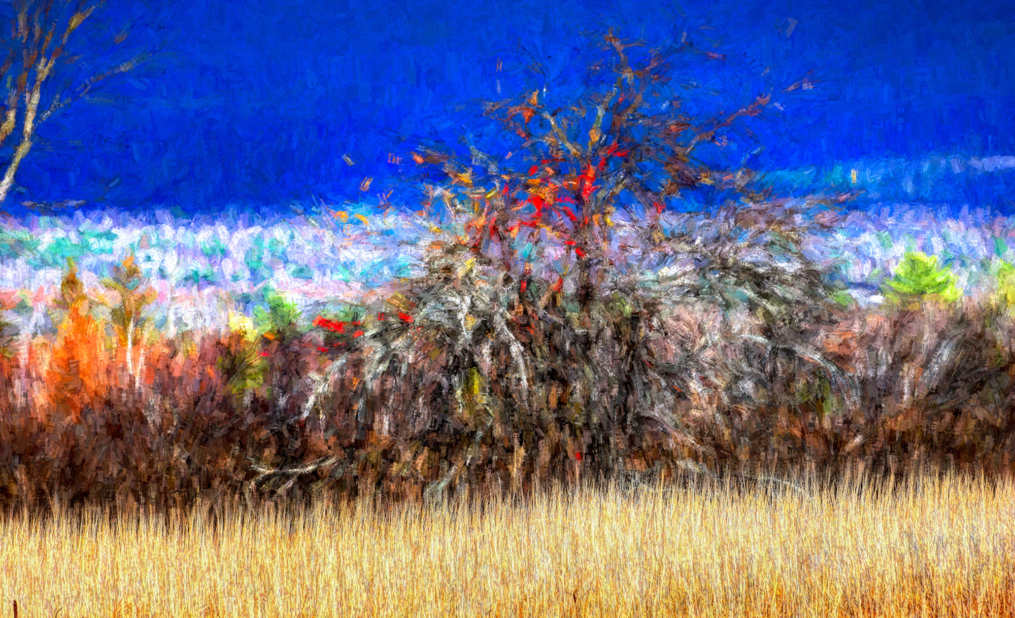
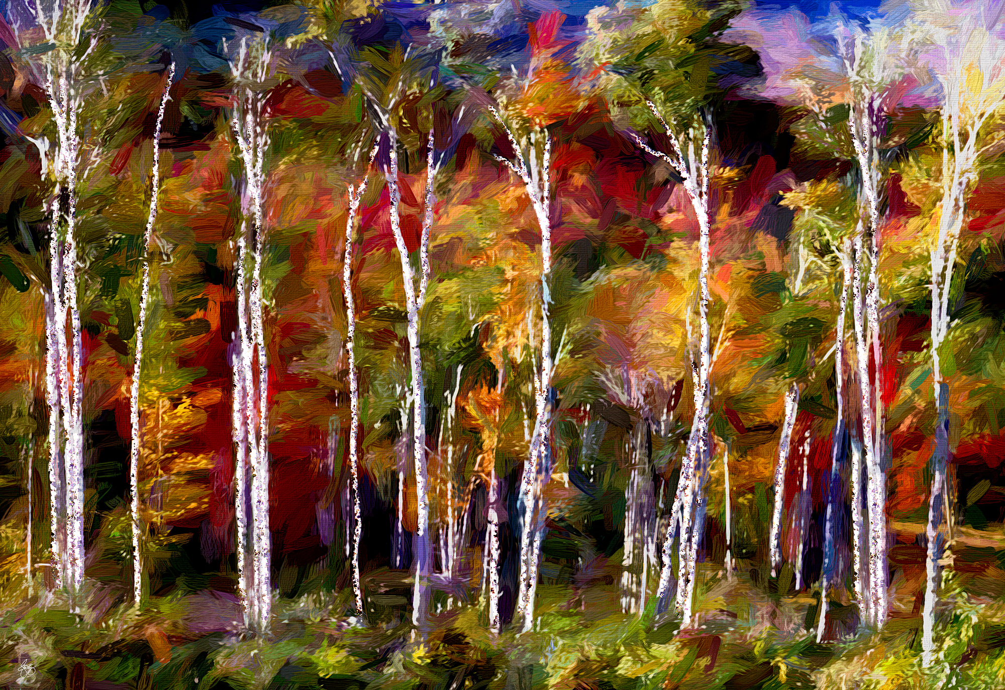
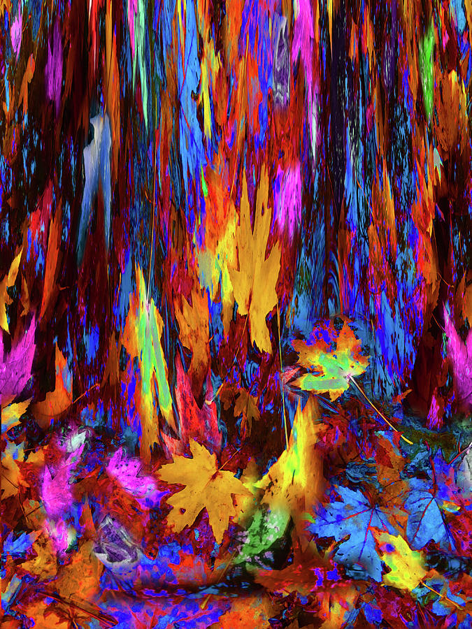
| Autumn Expressionism |
 |
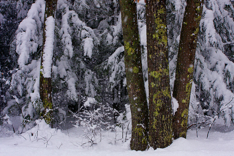
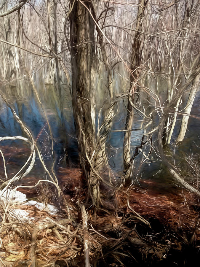
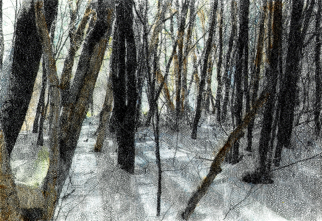
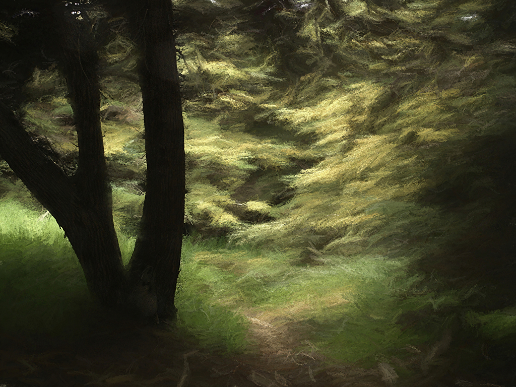
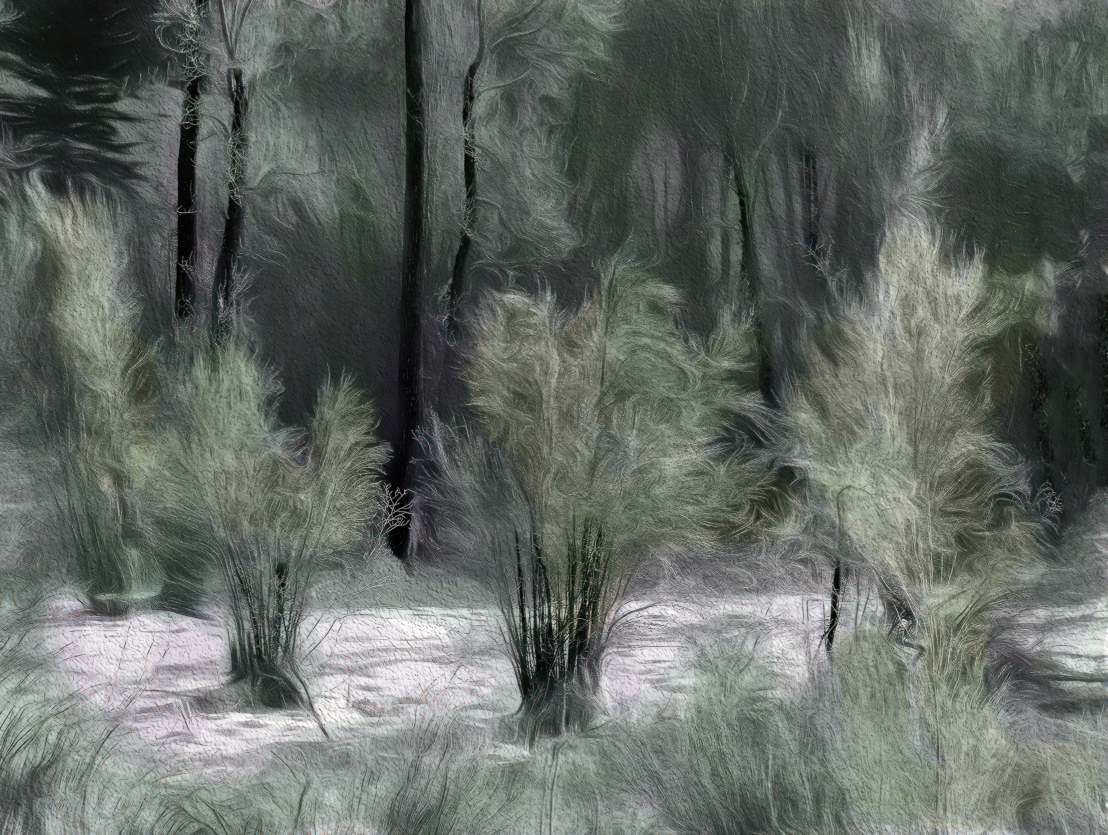
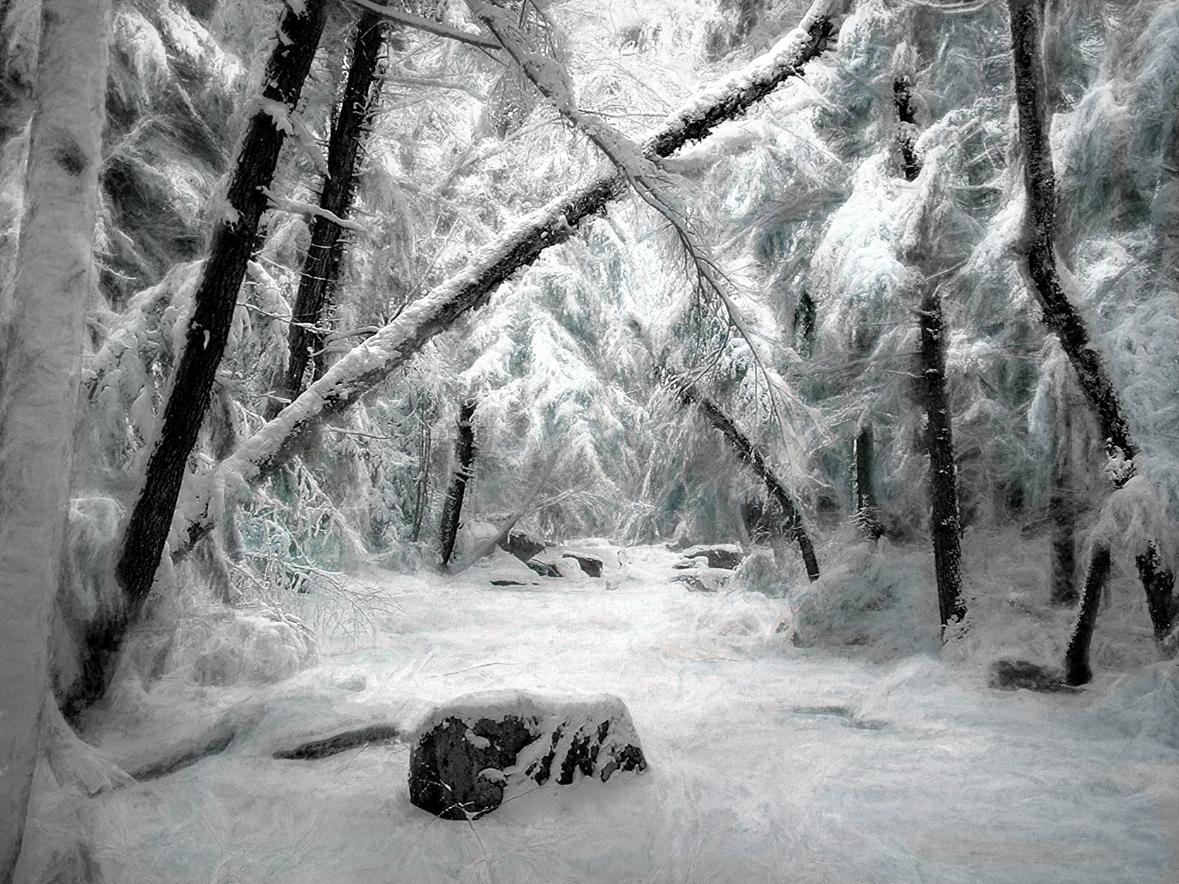
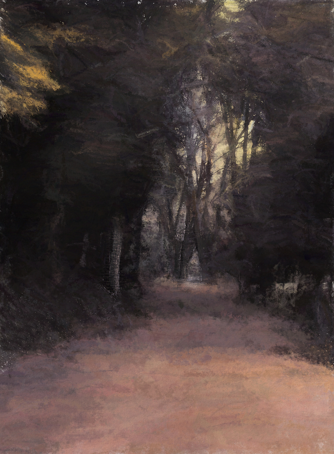
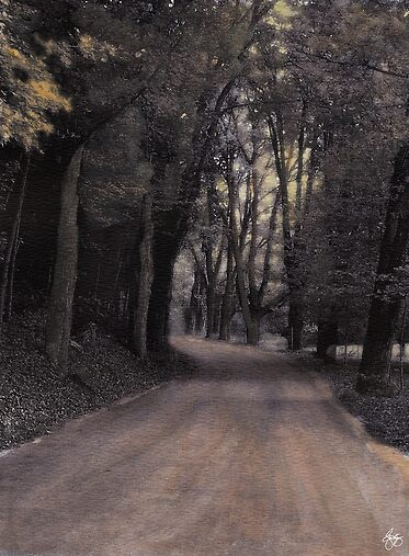
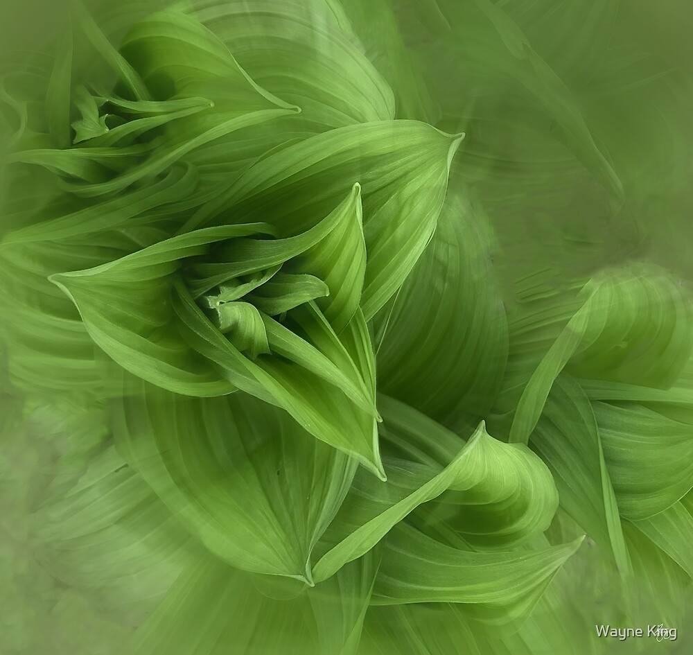
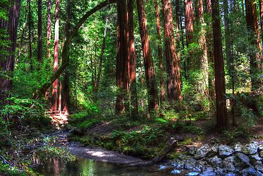
| Painting the Deep Woods |
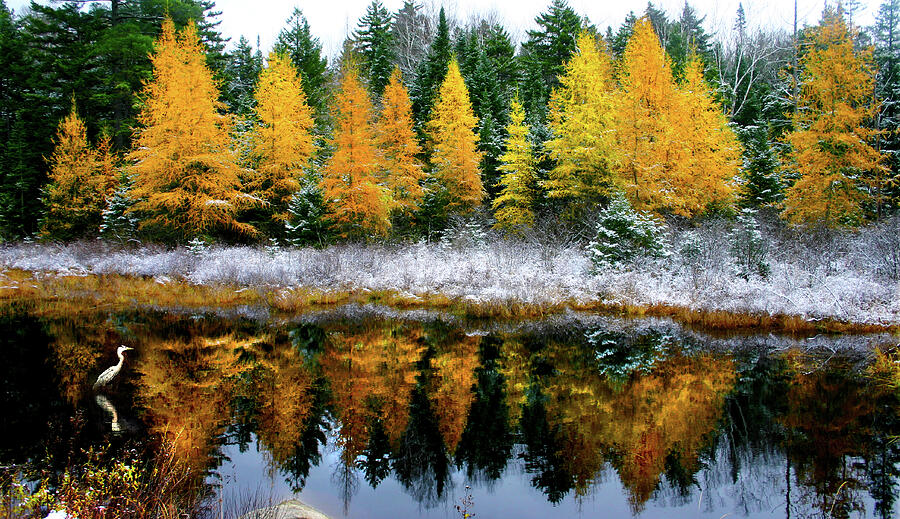 |
| Heron Gold |
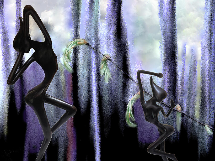 |
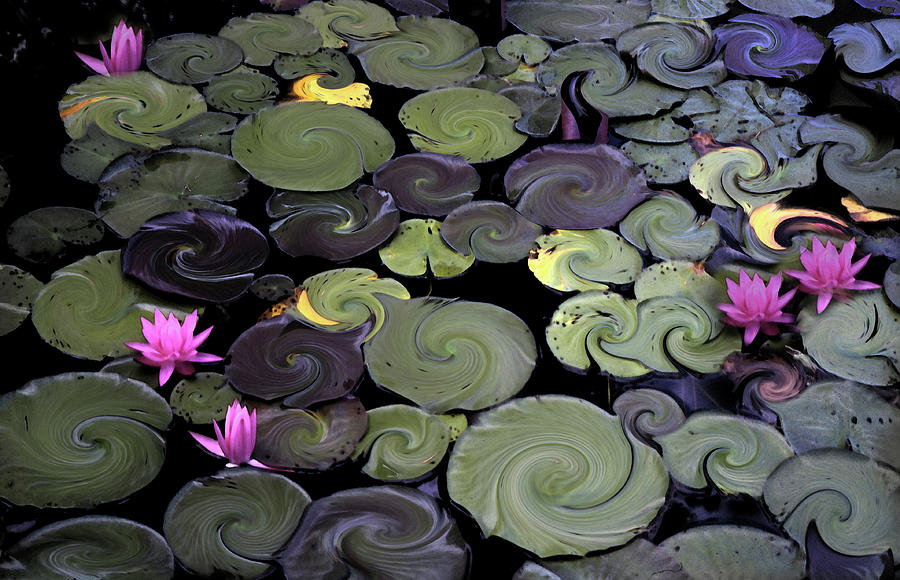
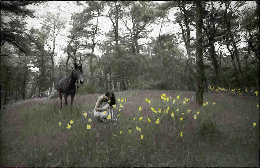
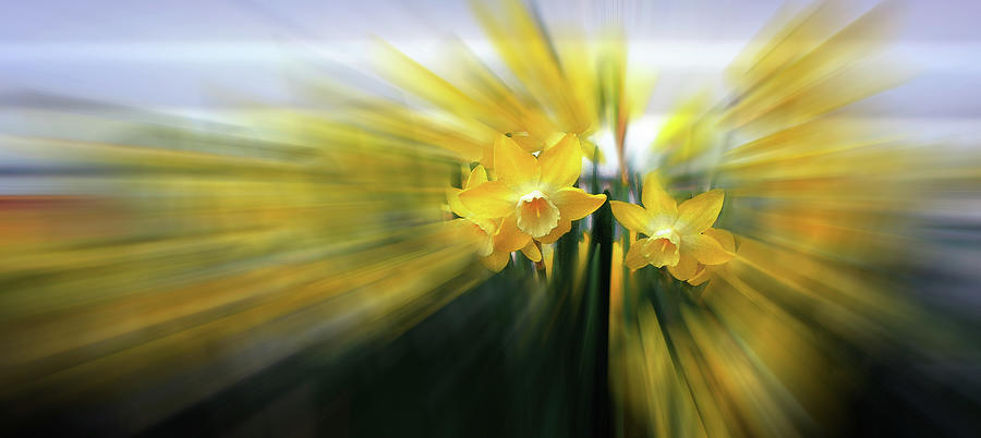
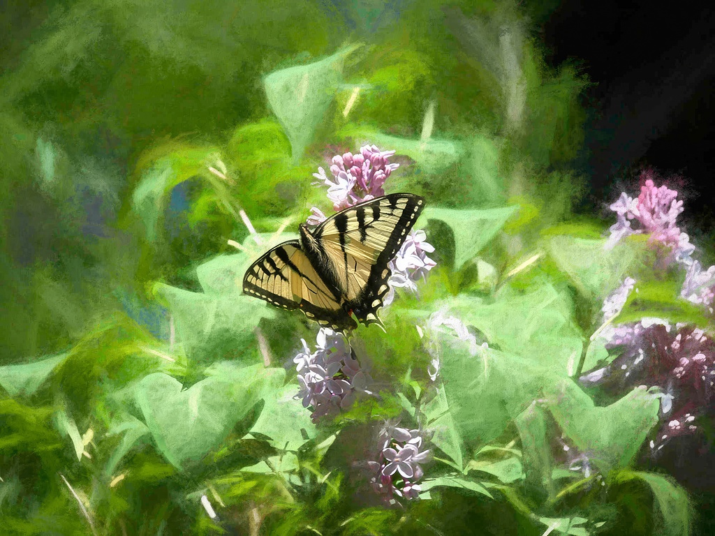
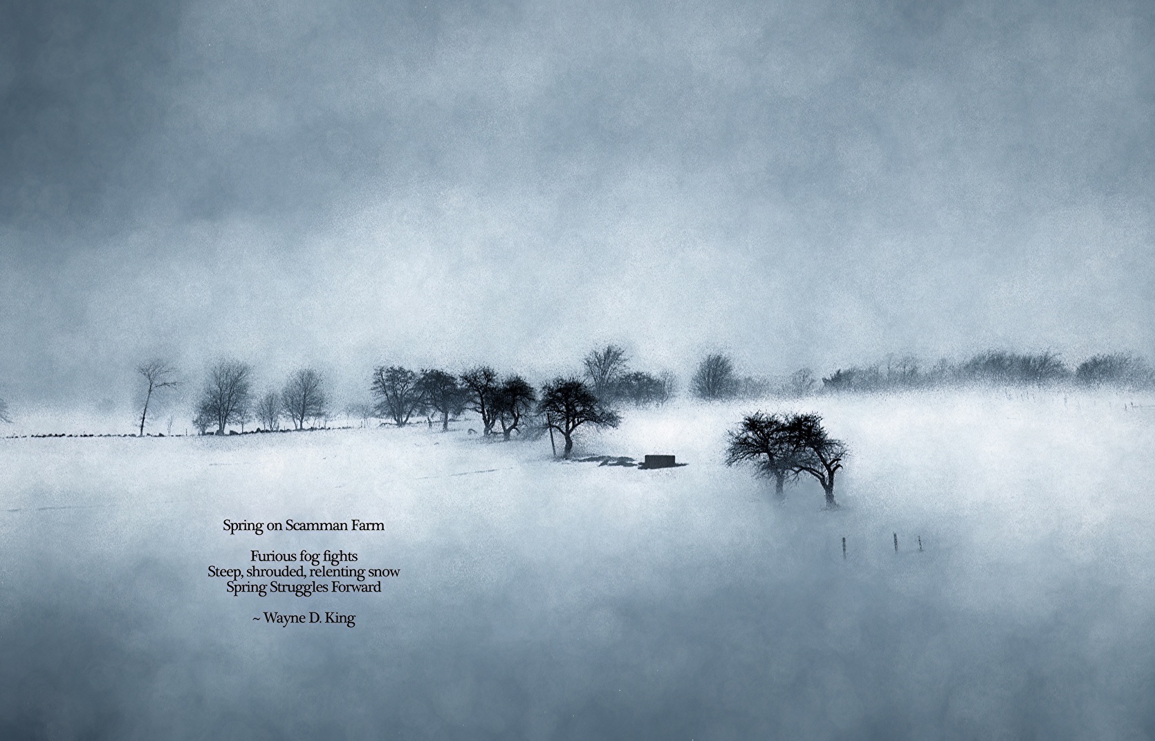
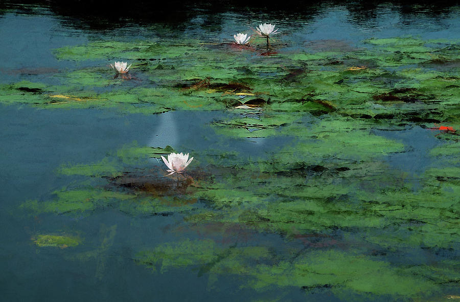
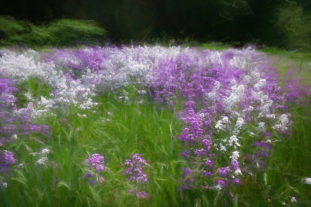
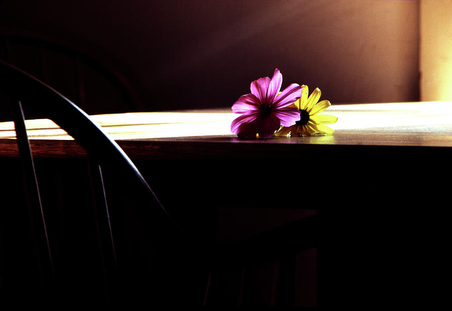
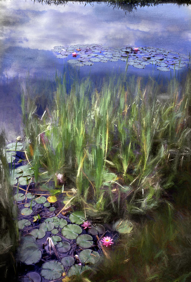
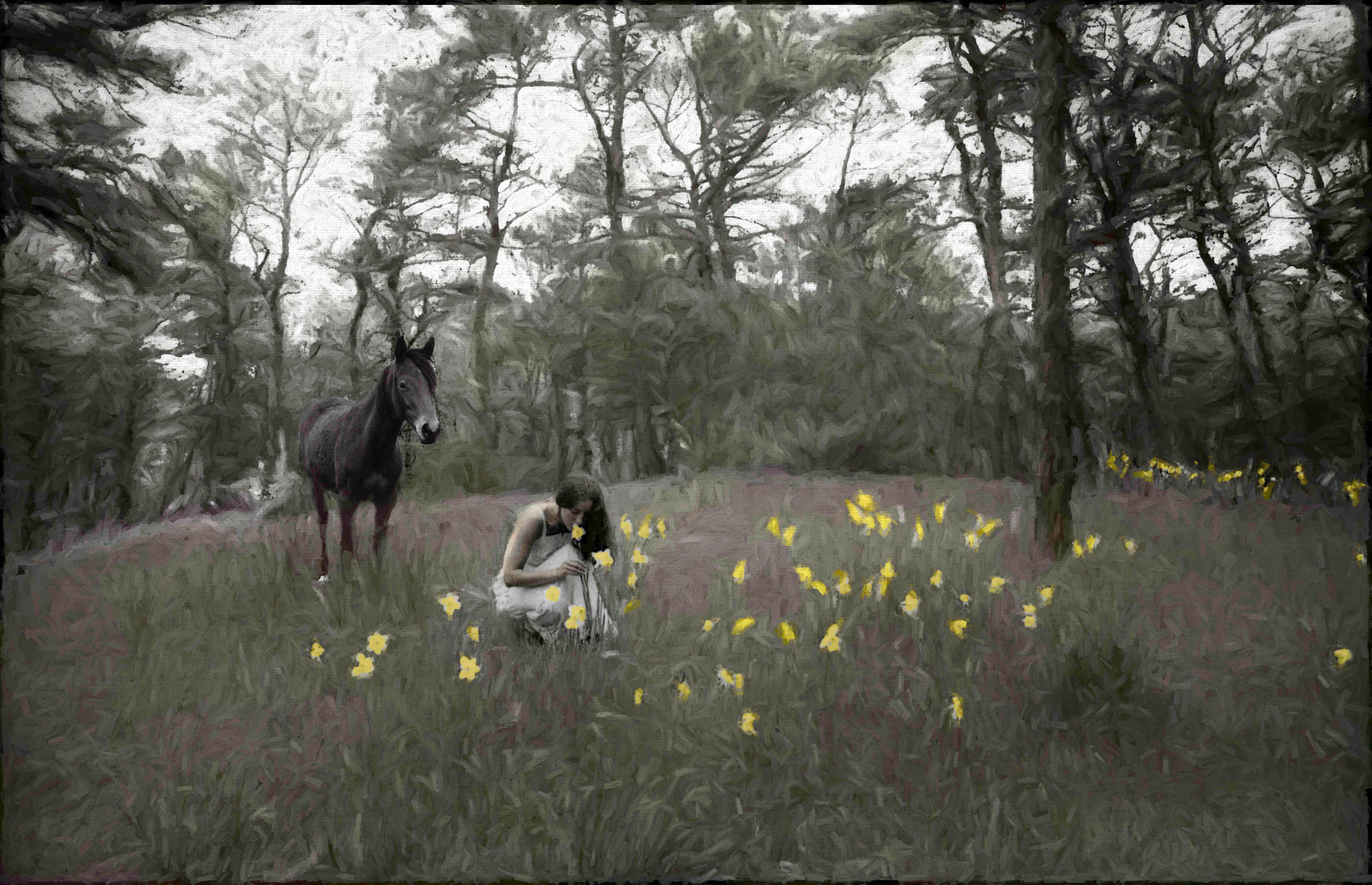
| Rites of Spring |
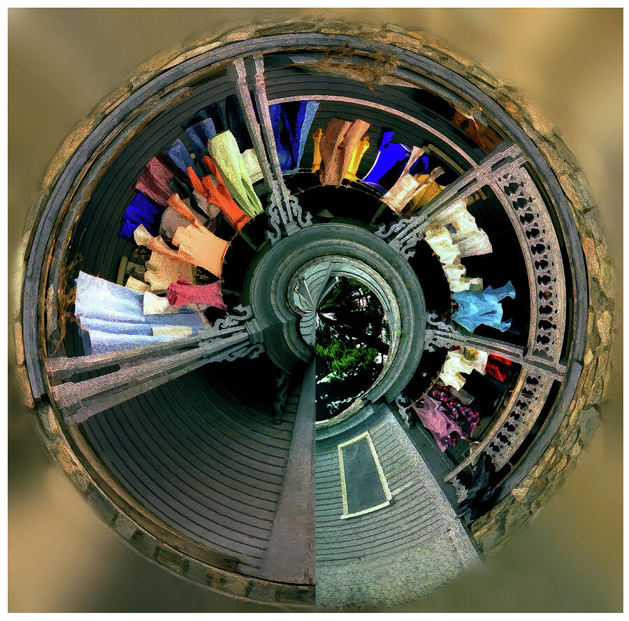 |
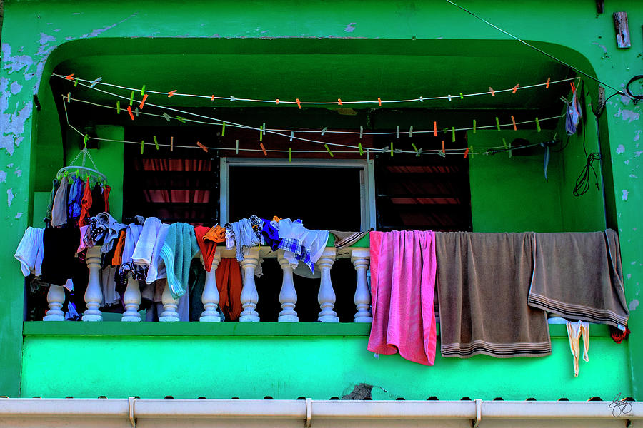
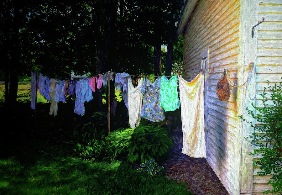
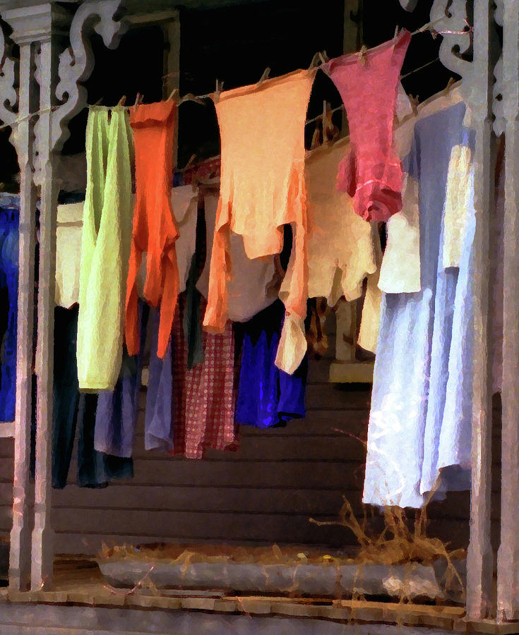
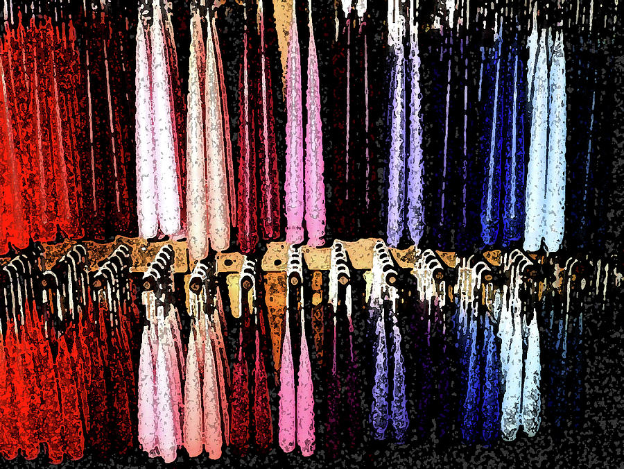
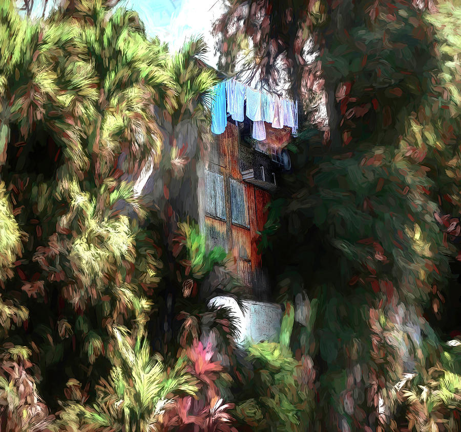
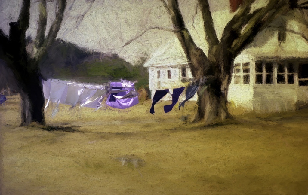
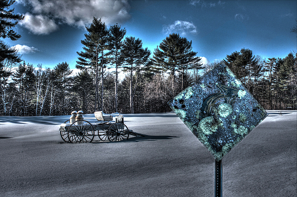
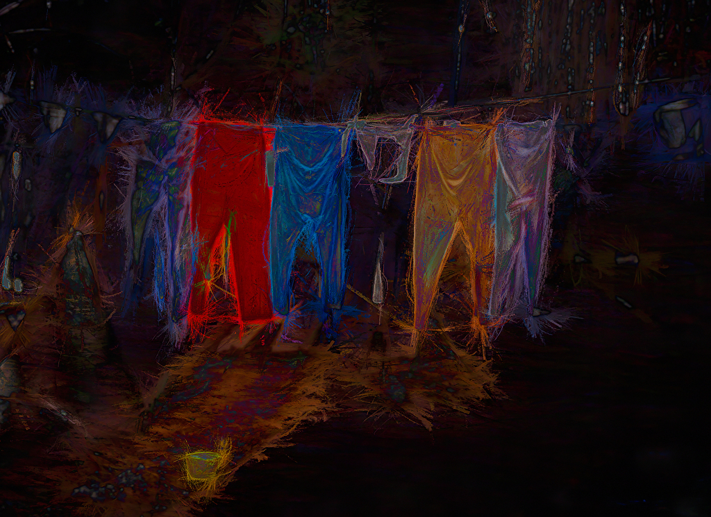
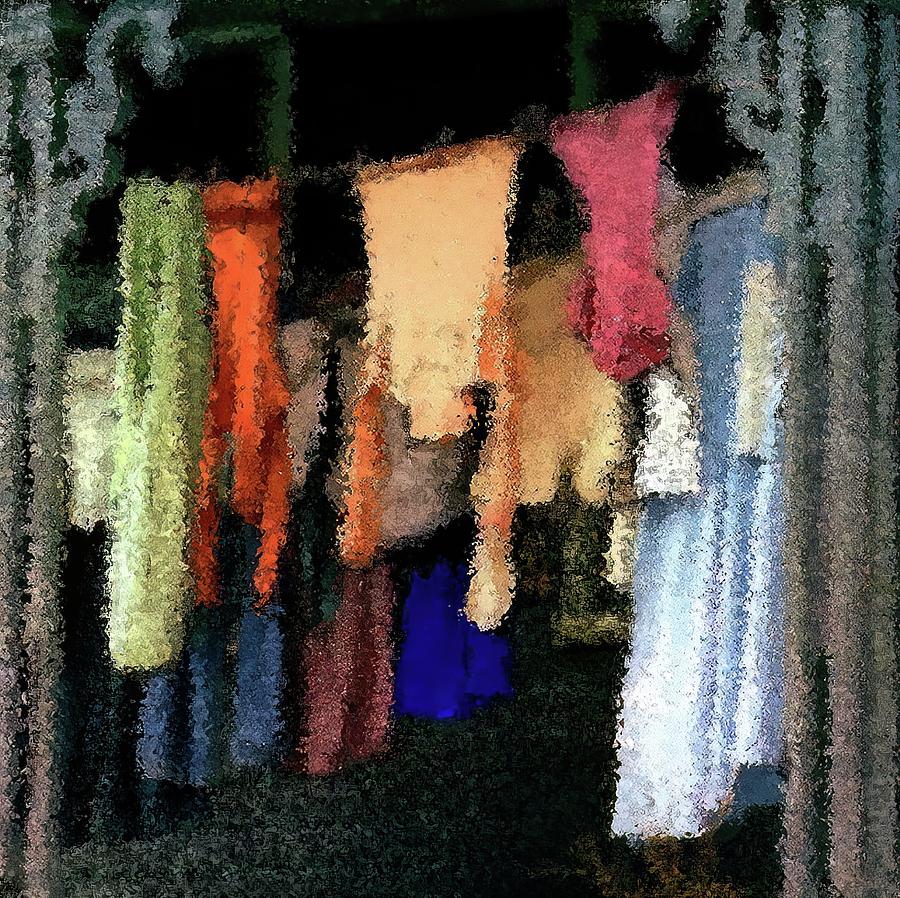
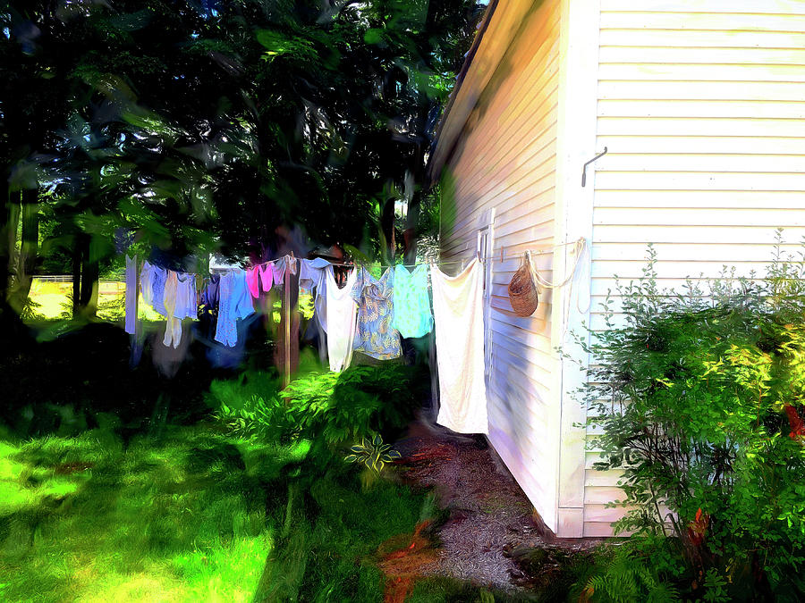
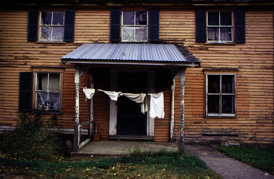
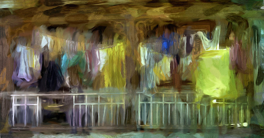
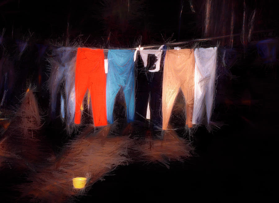
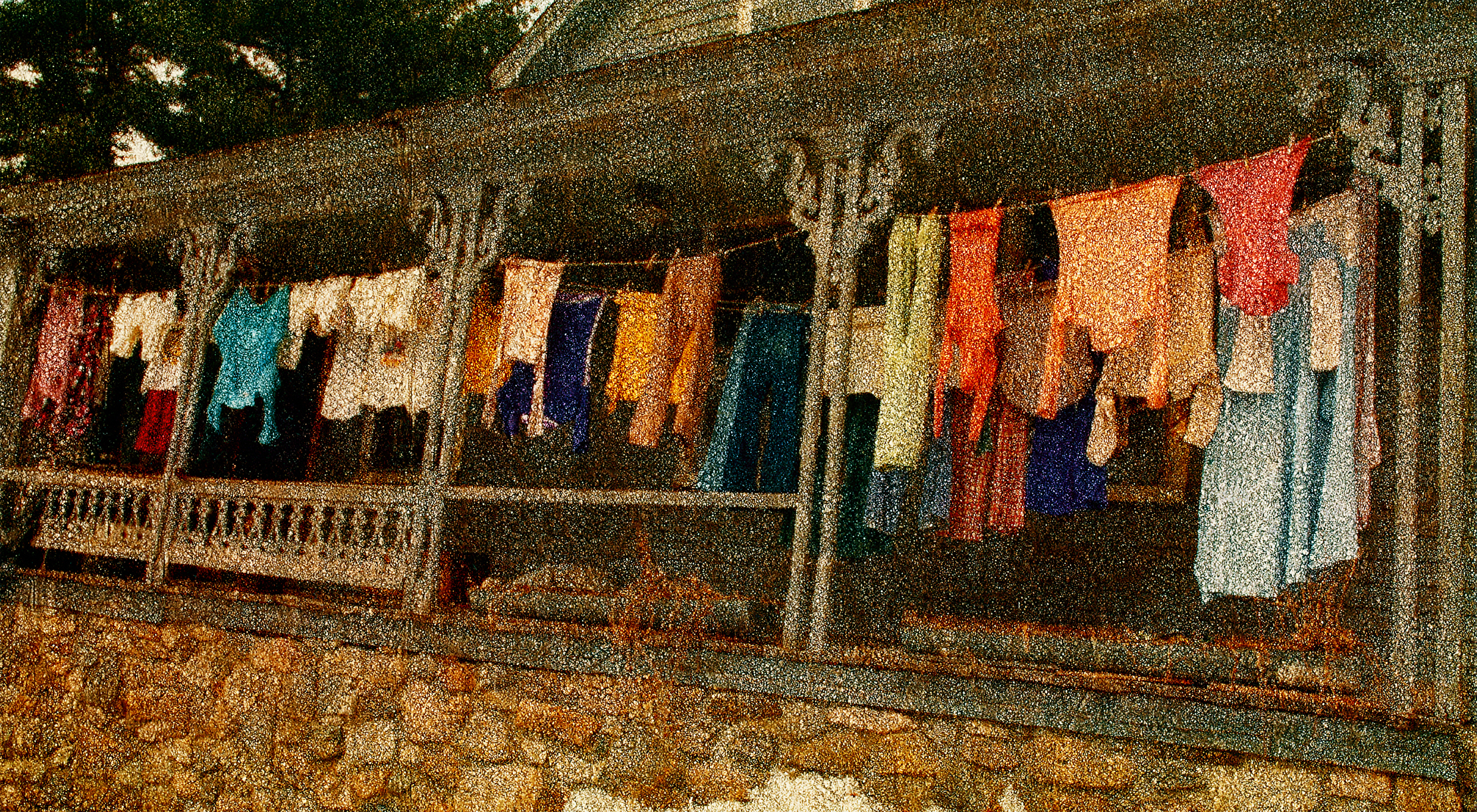
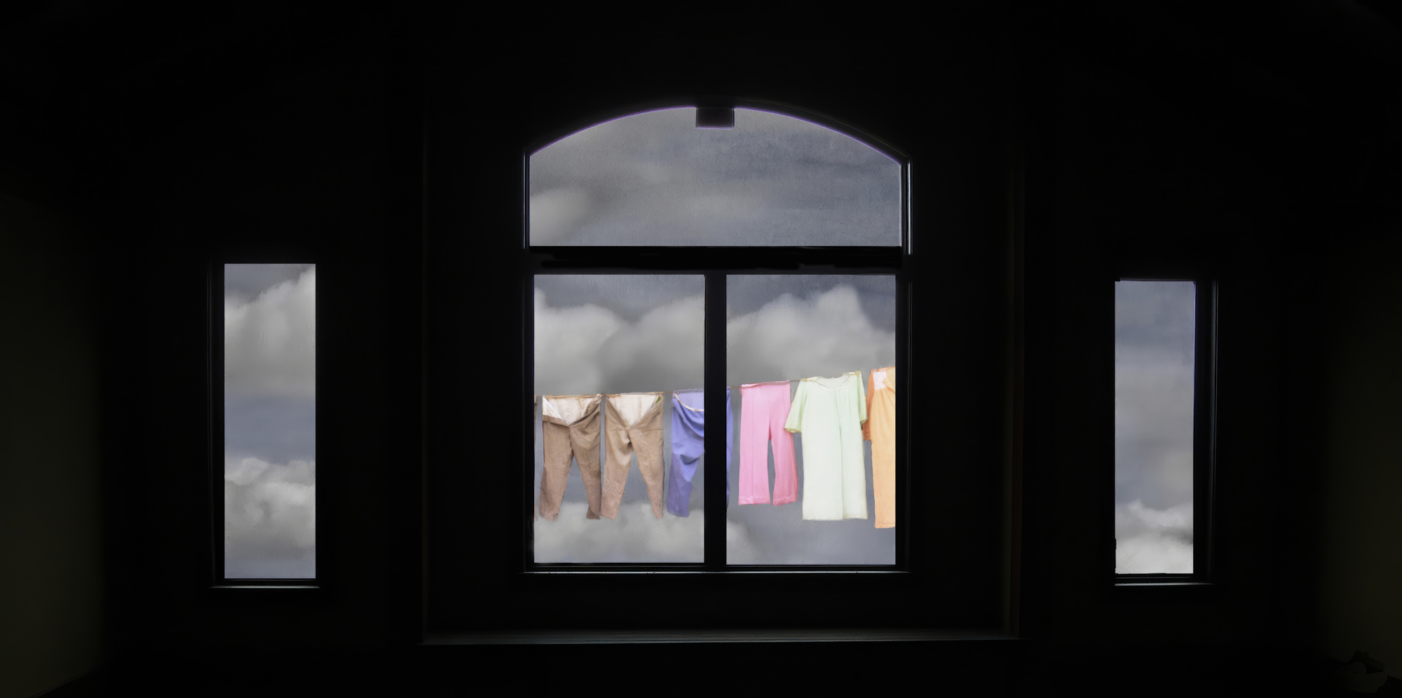
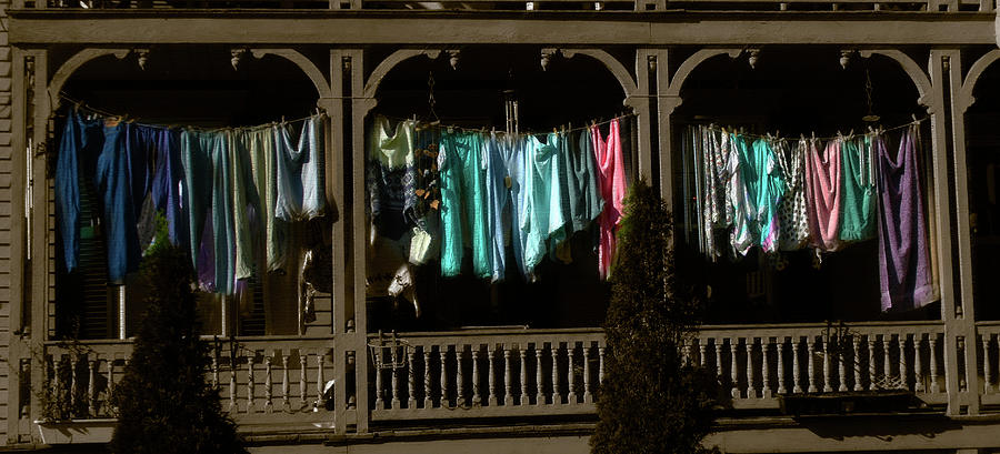
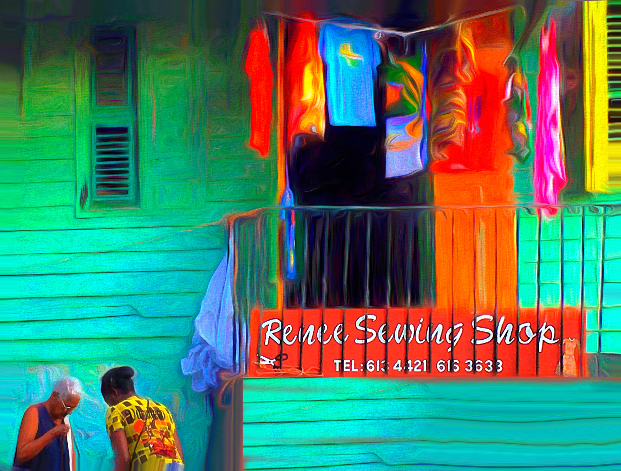
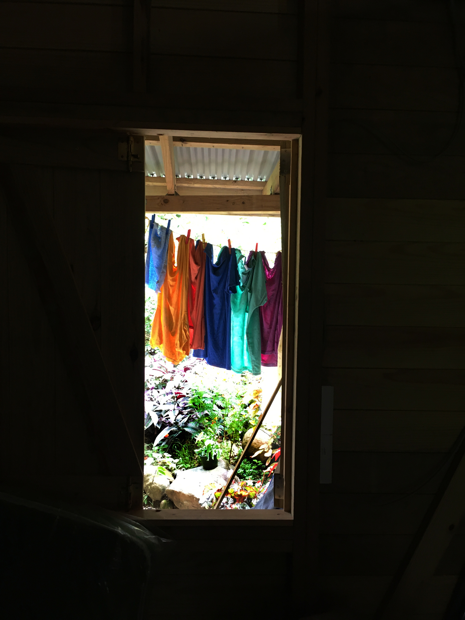
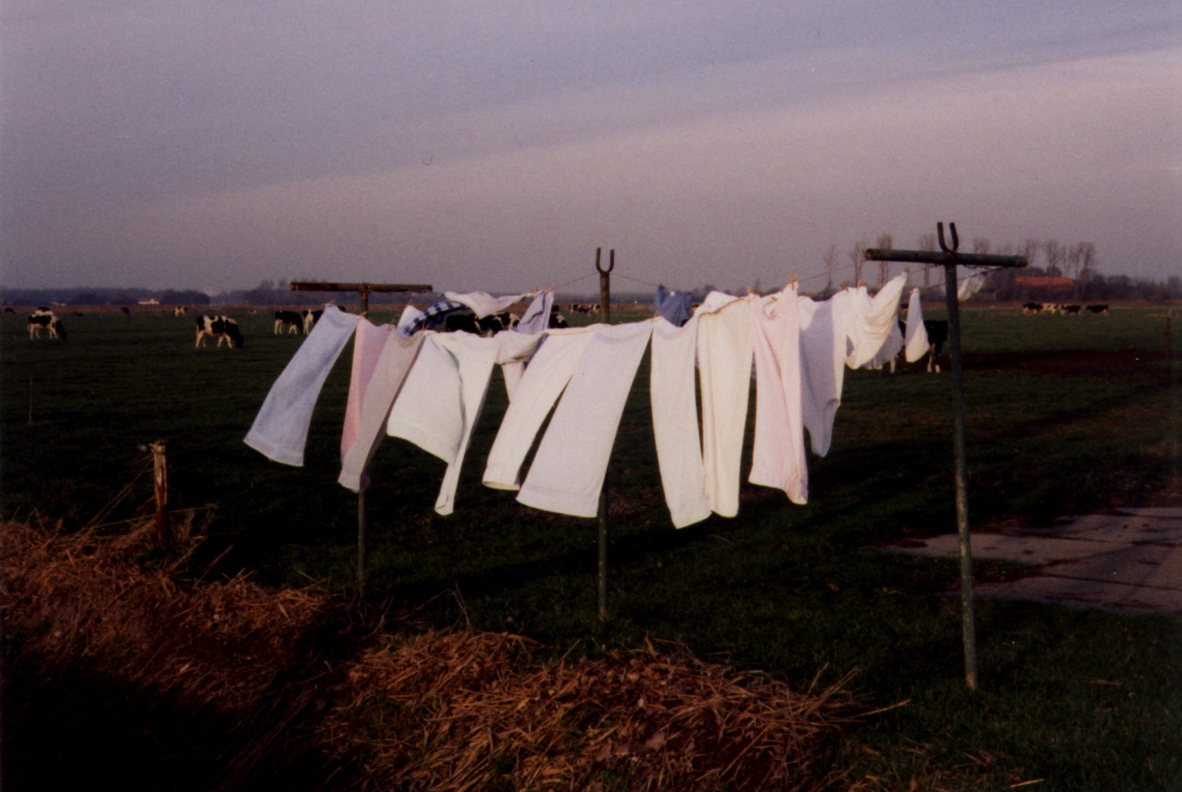
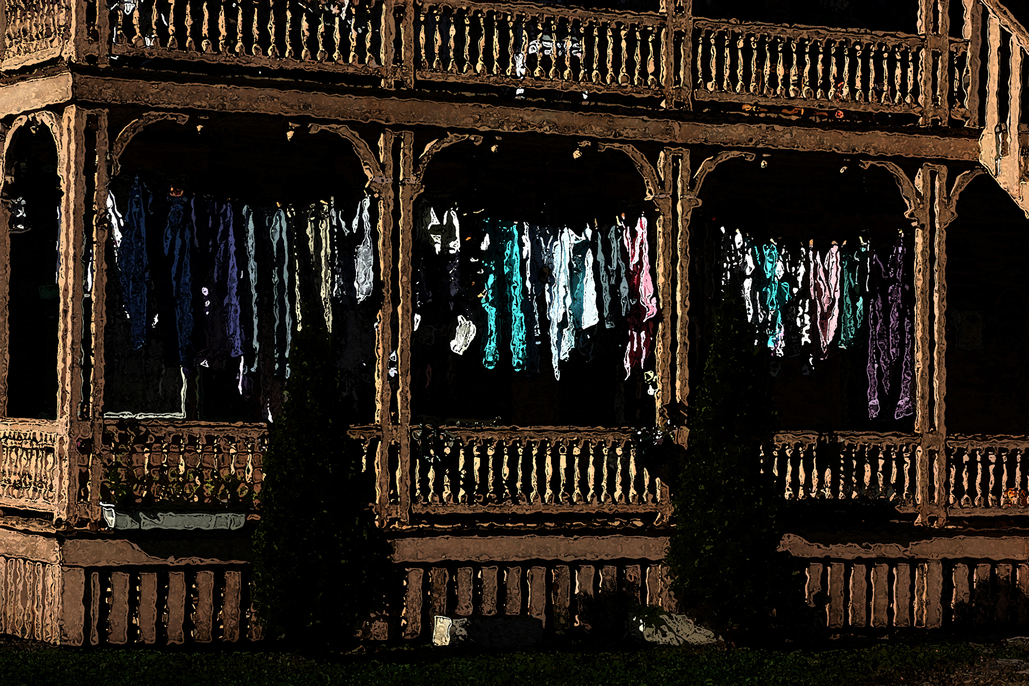
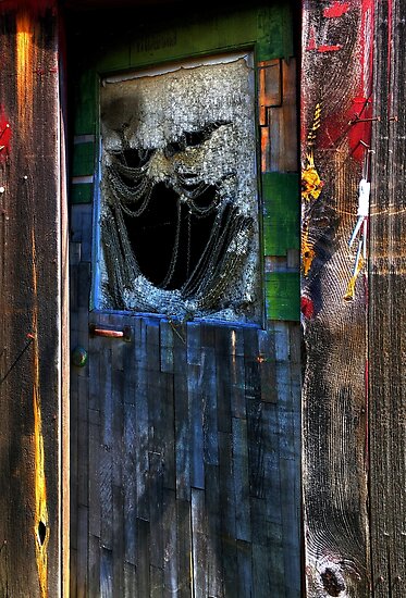
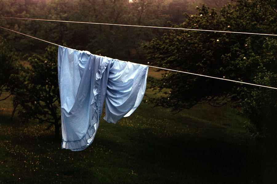
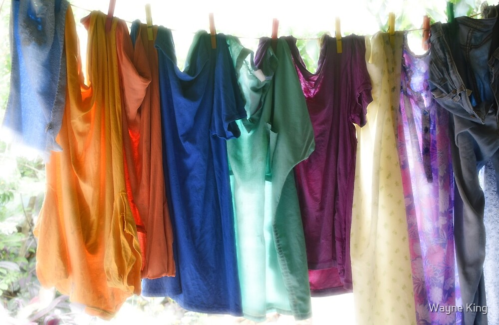
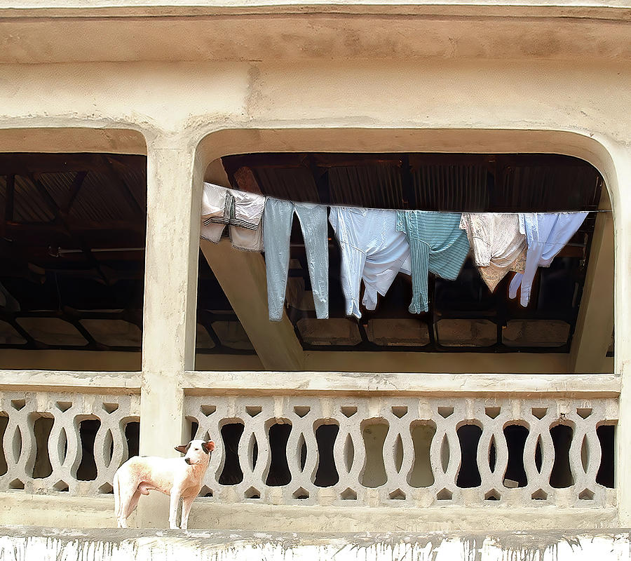
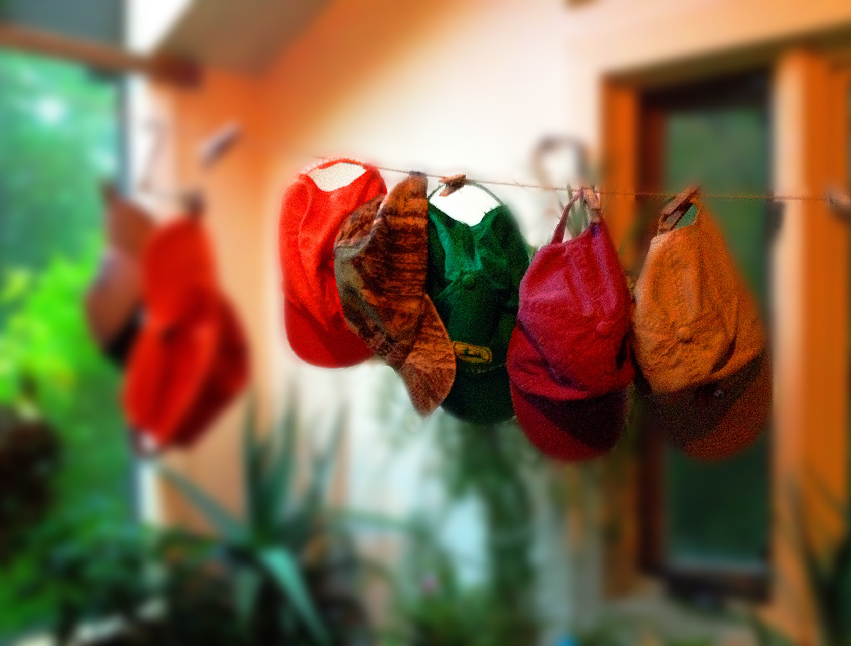
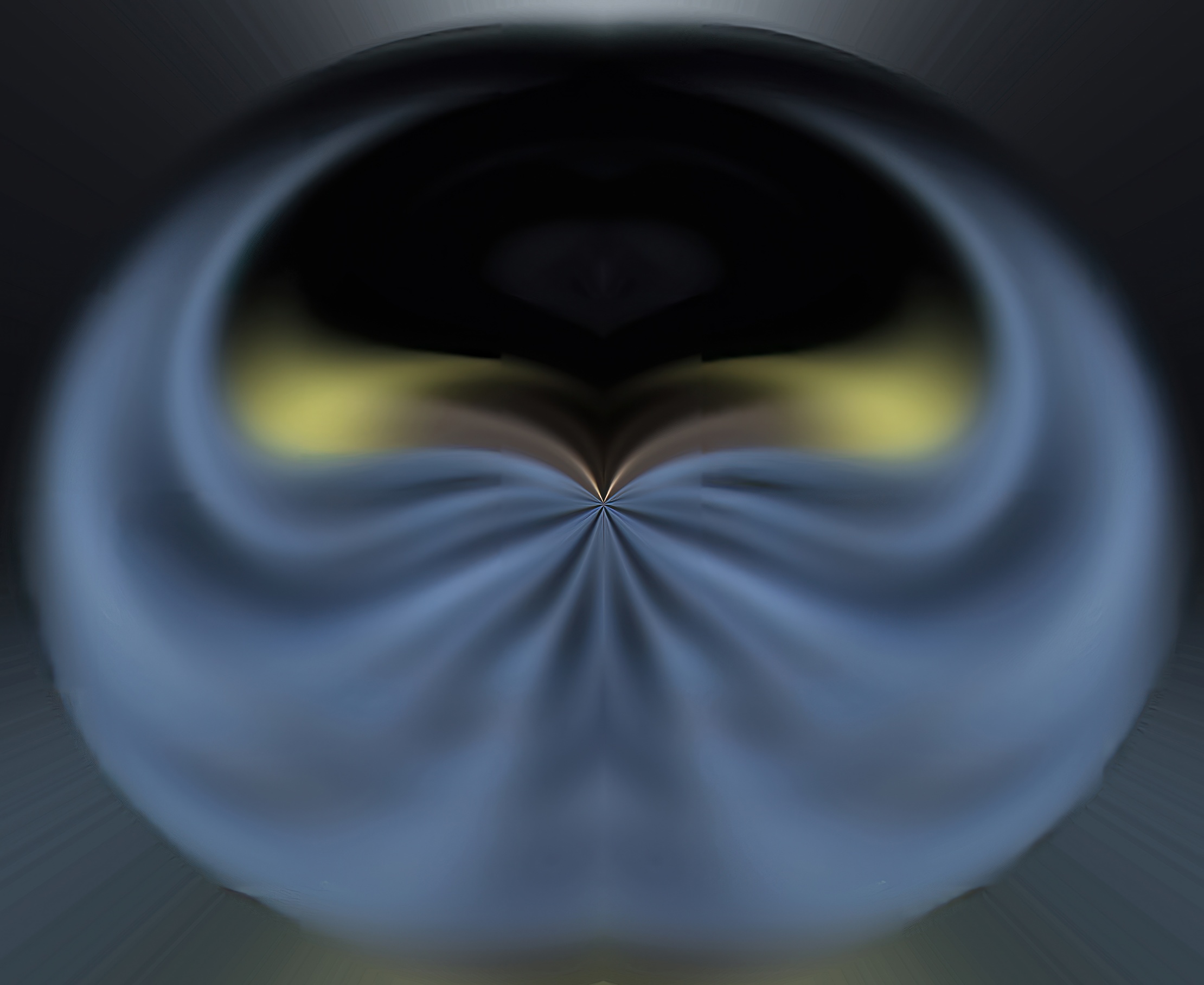
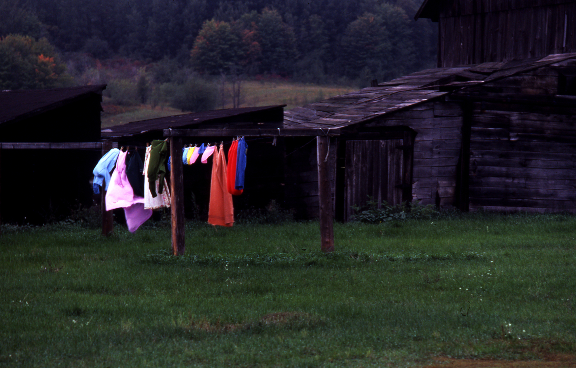
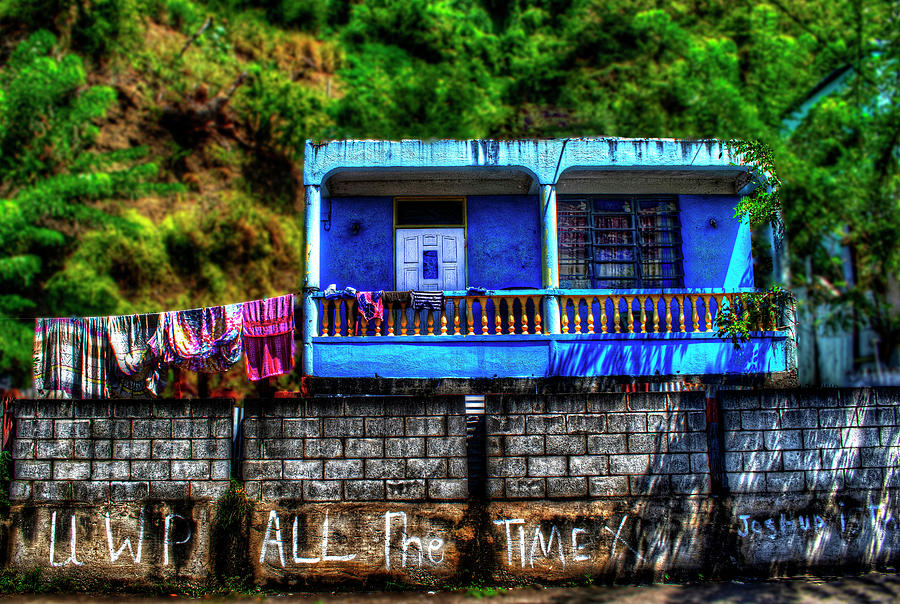
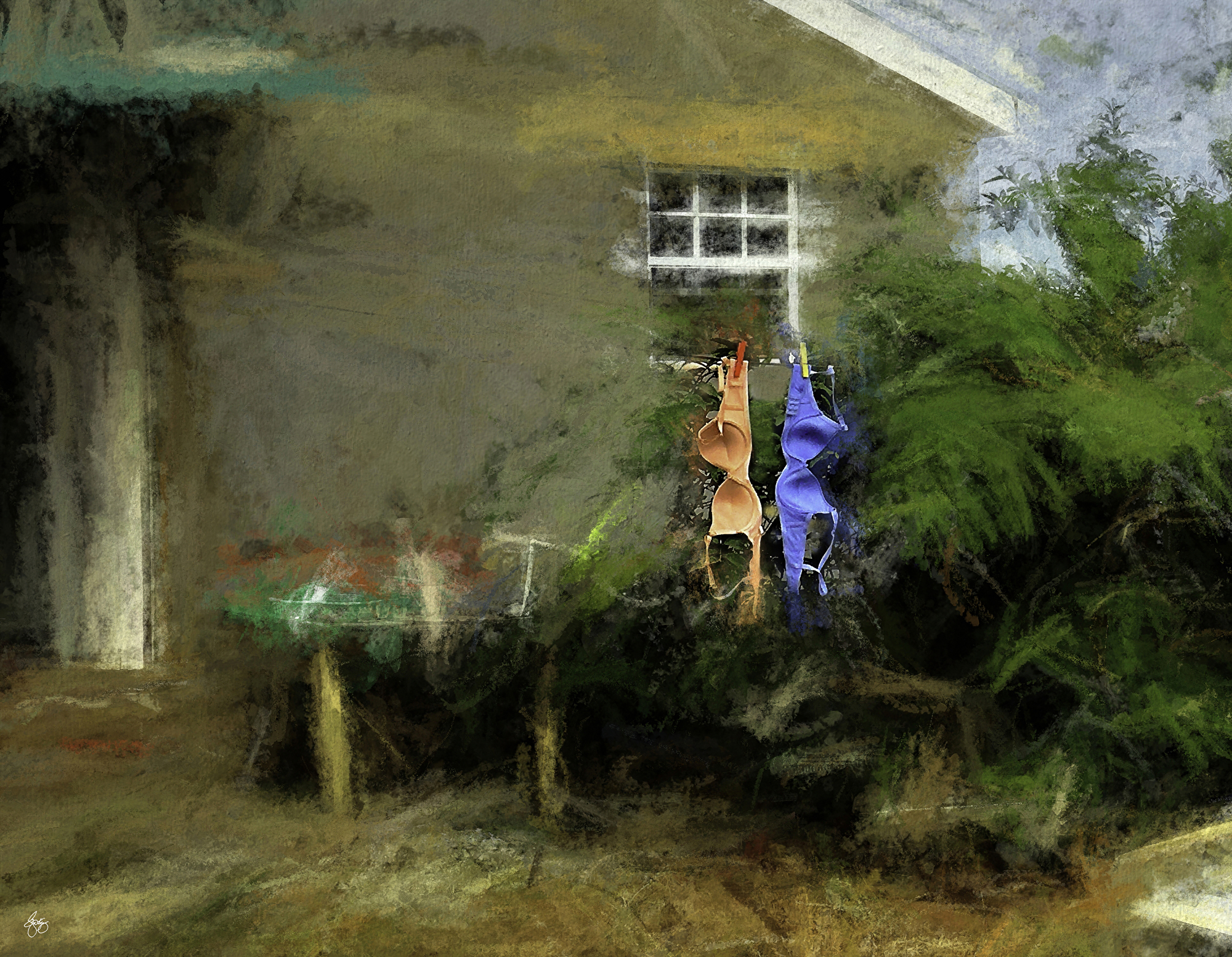
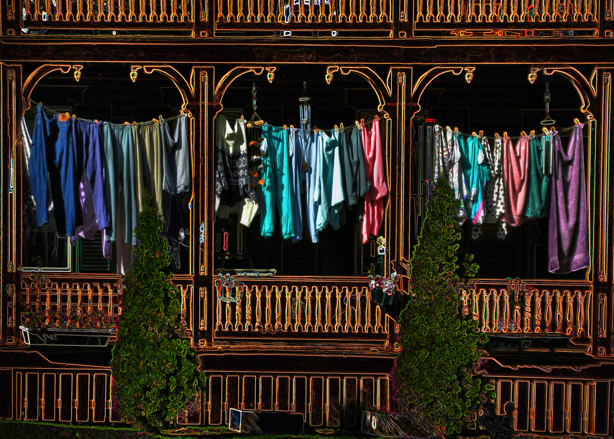
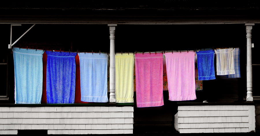
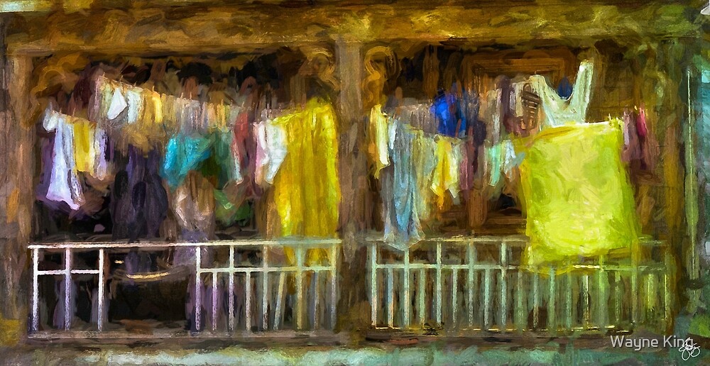
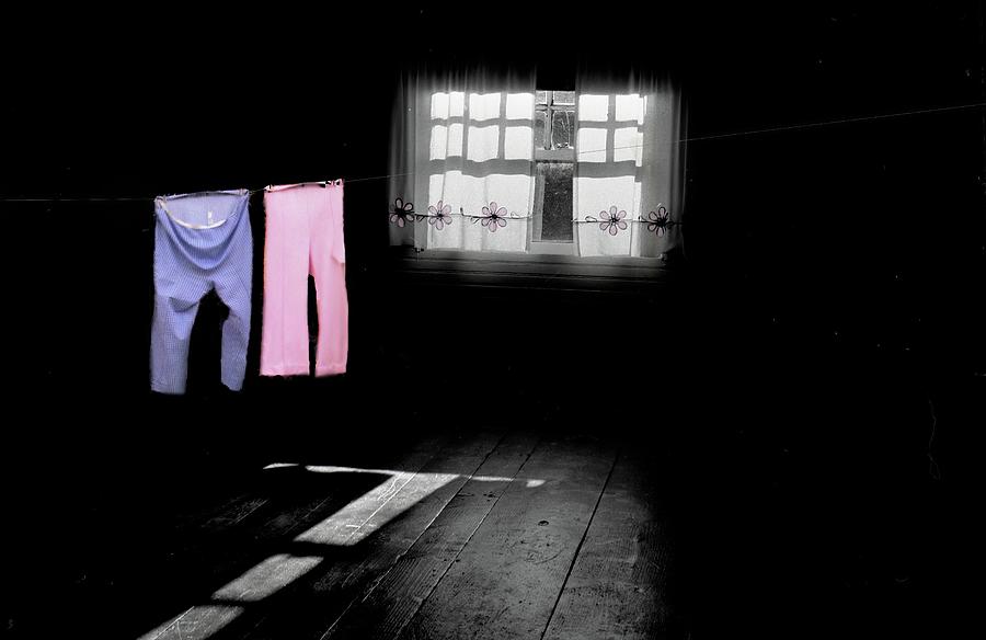
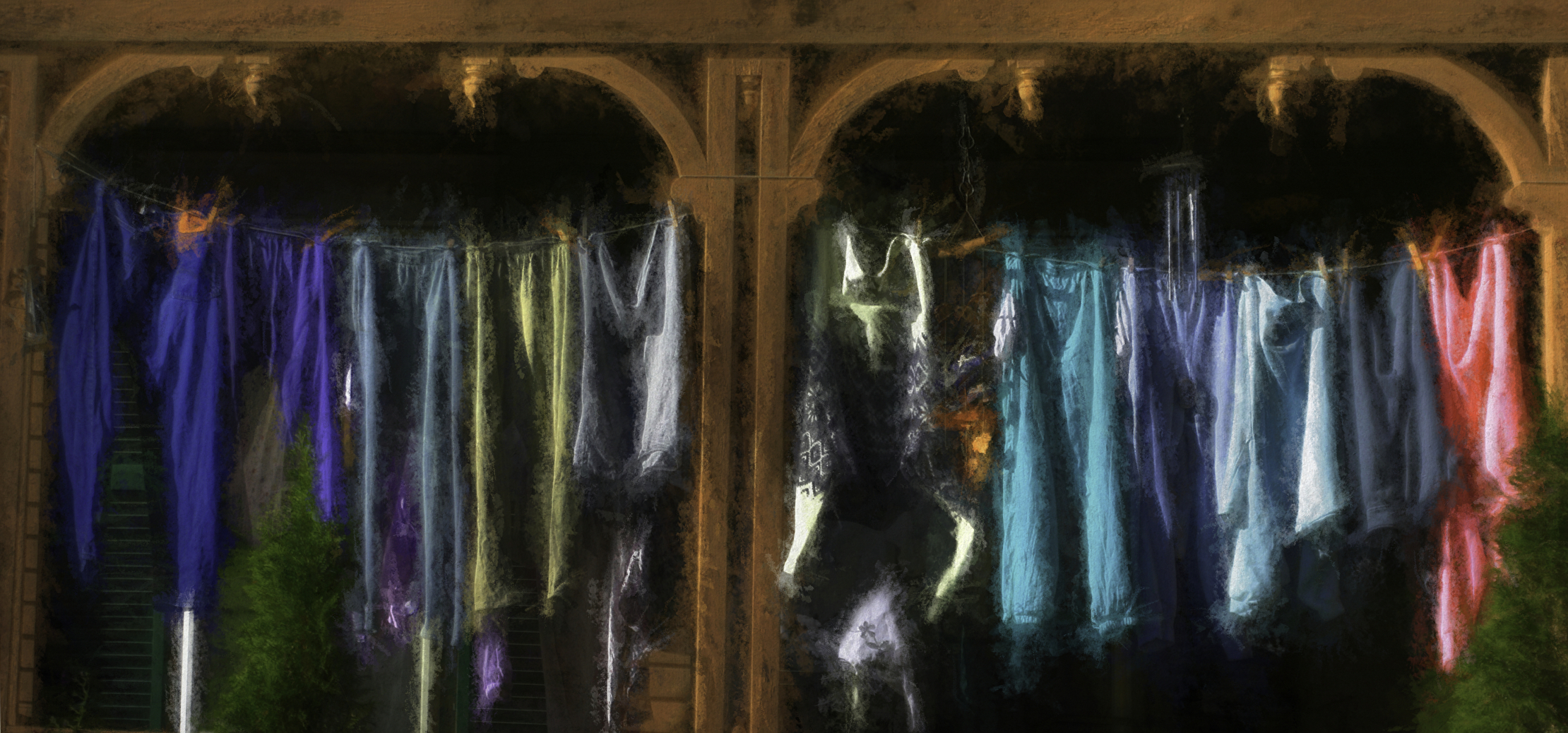
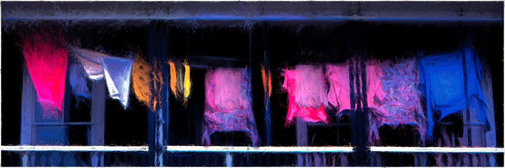
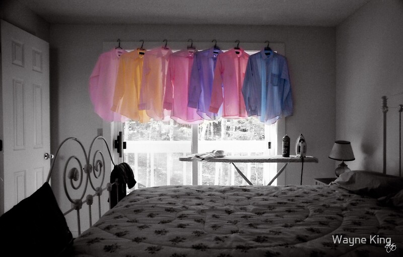
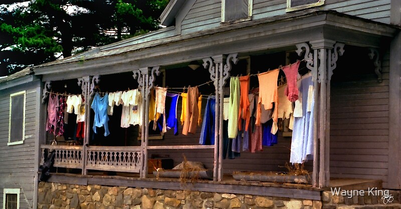
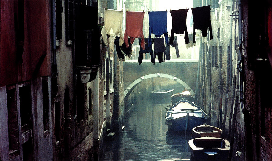
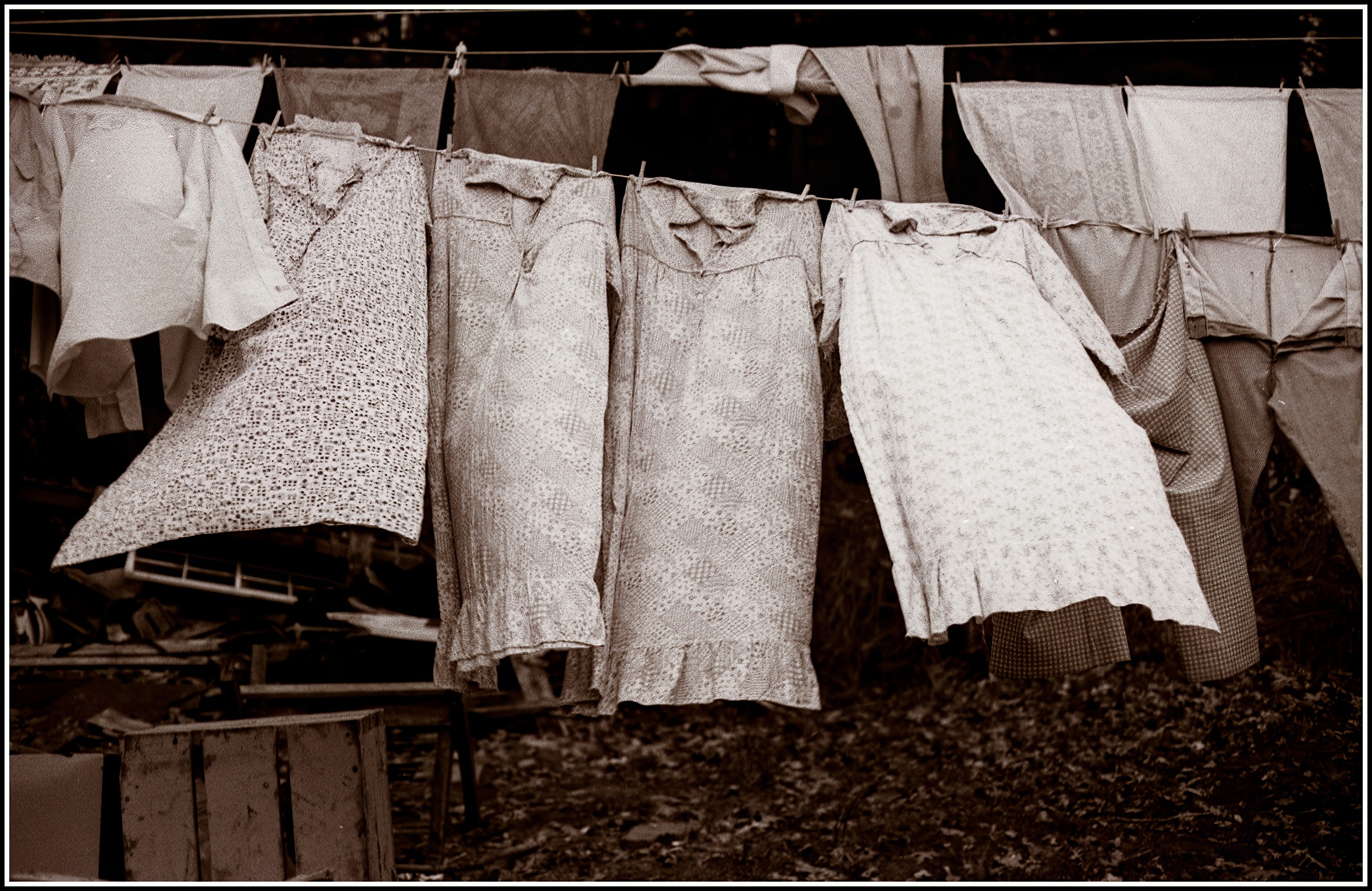
| Circular Washline Squared For a signed original of this image, click here For an unsigned open-edition print of this image, click here: |
 |
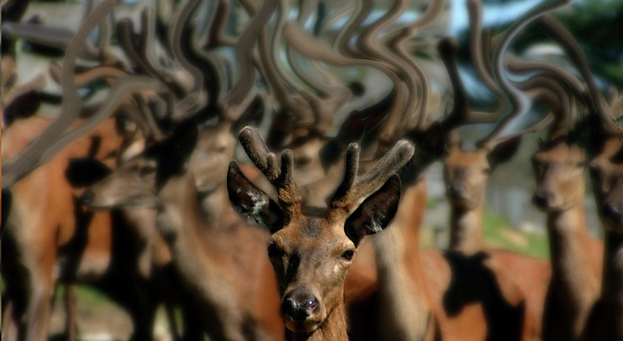
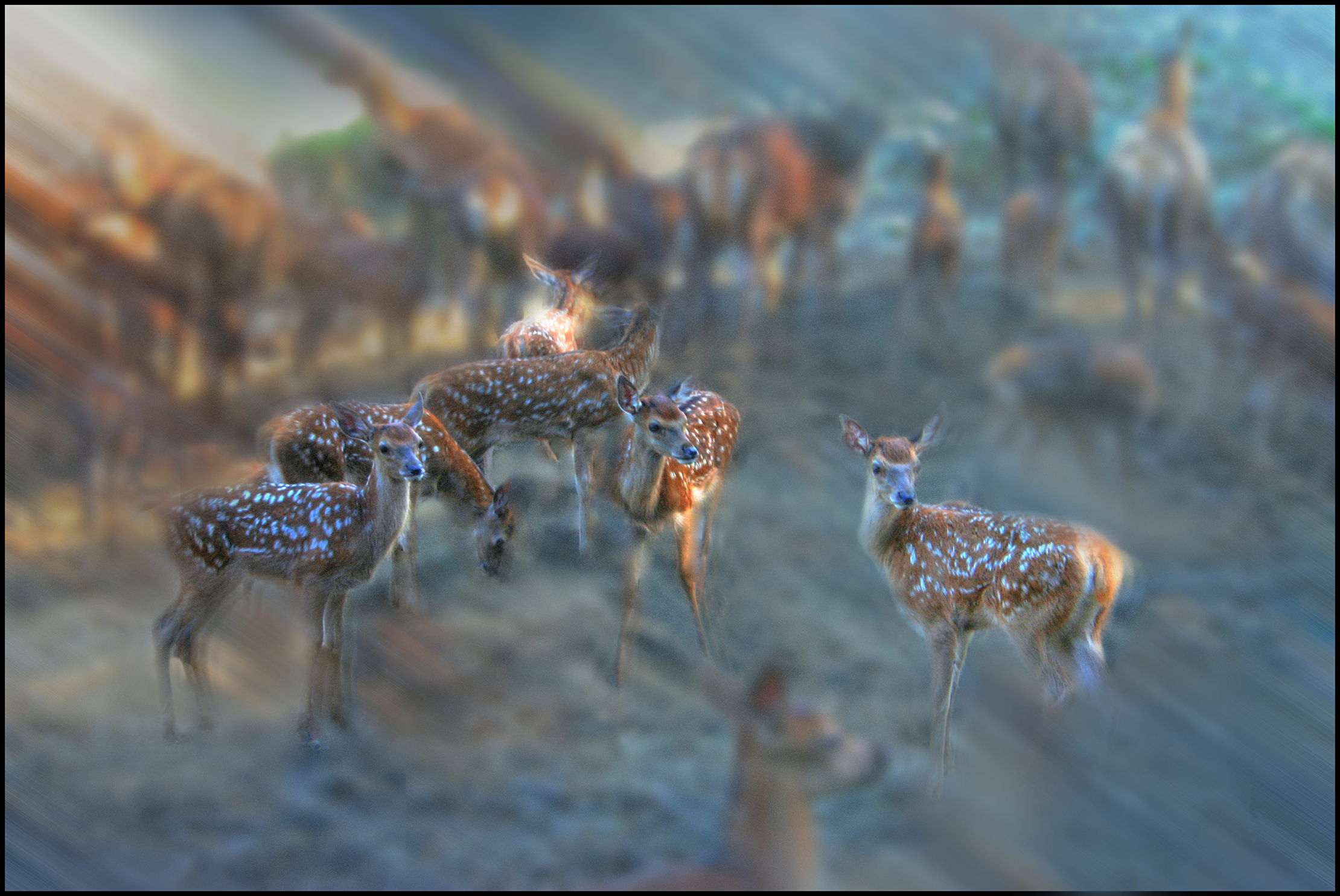
| Aspen Elk Herd |
 |
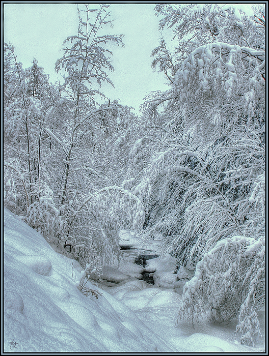
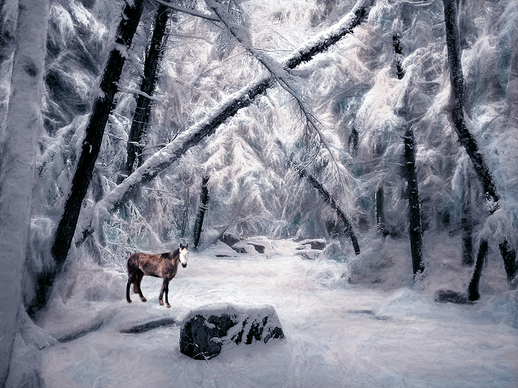
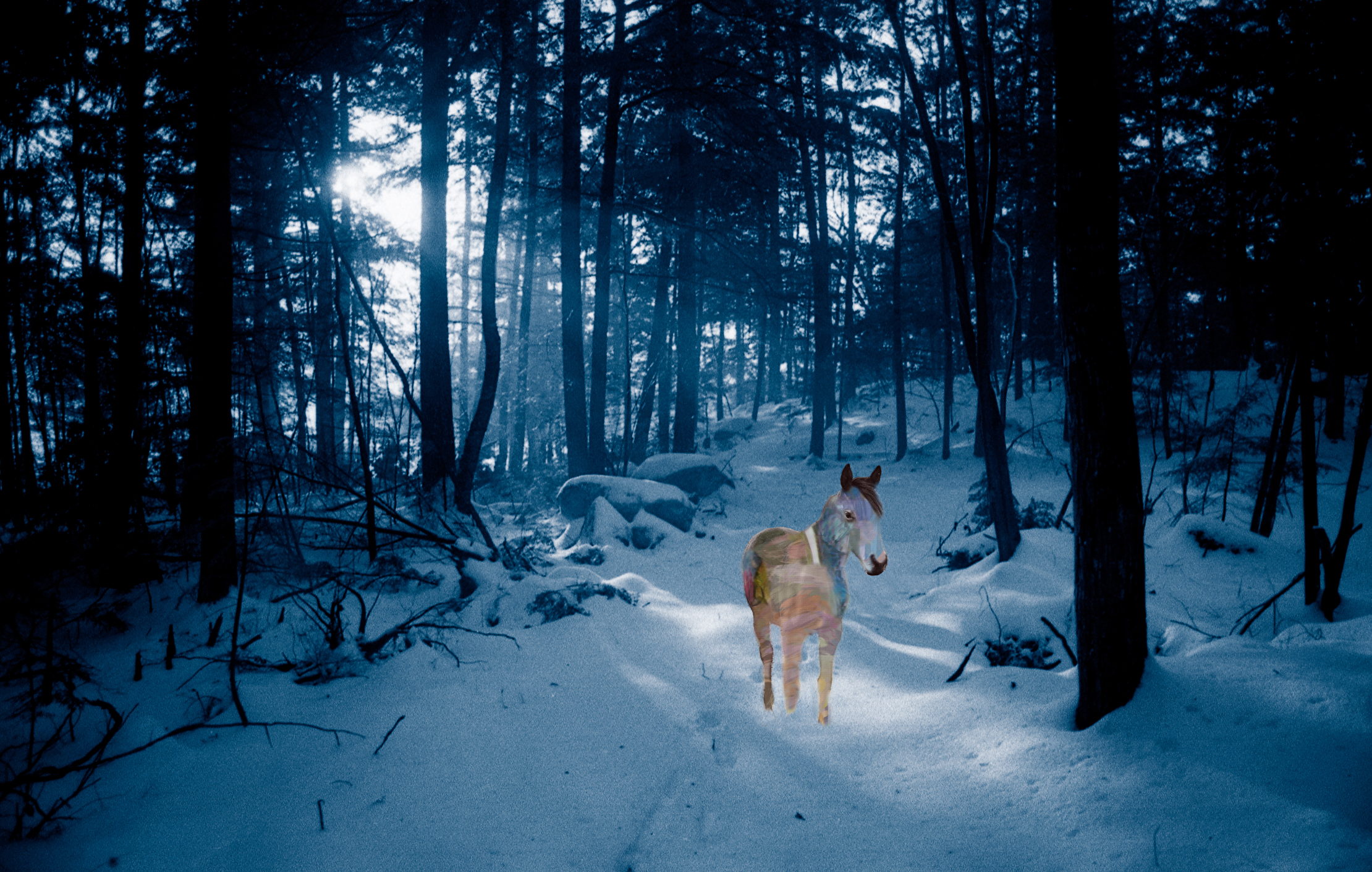
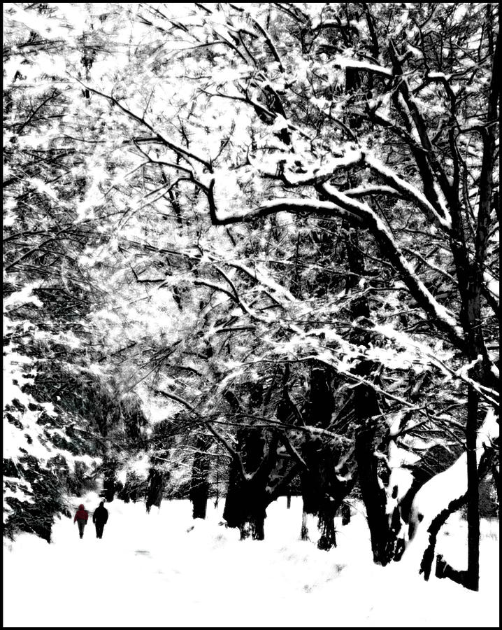
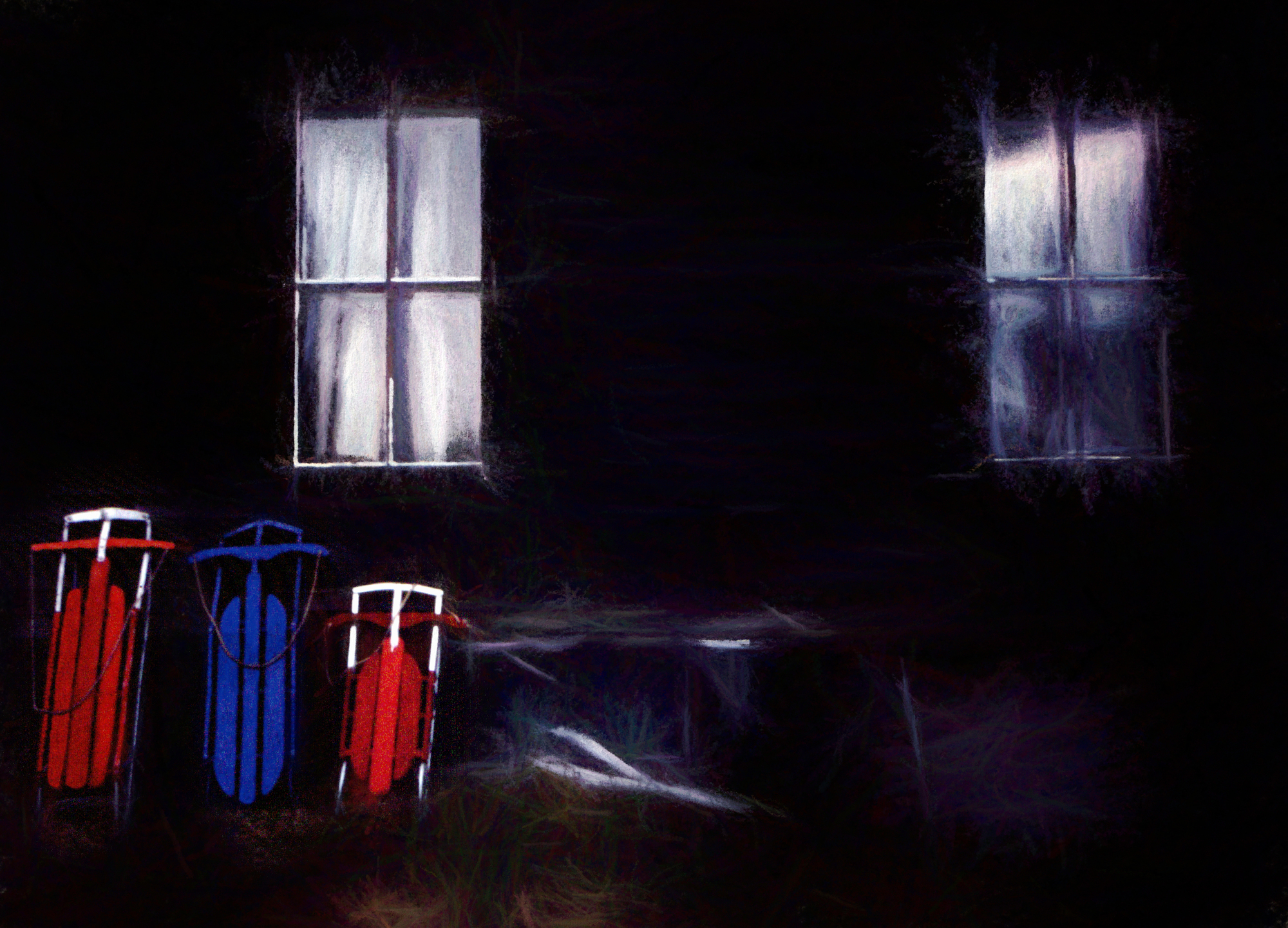
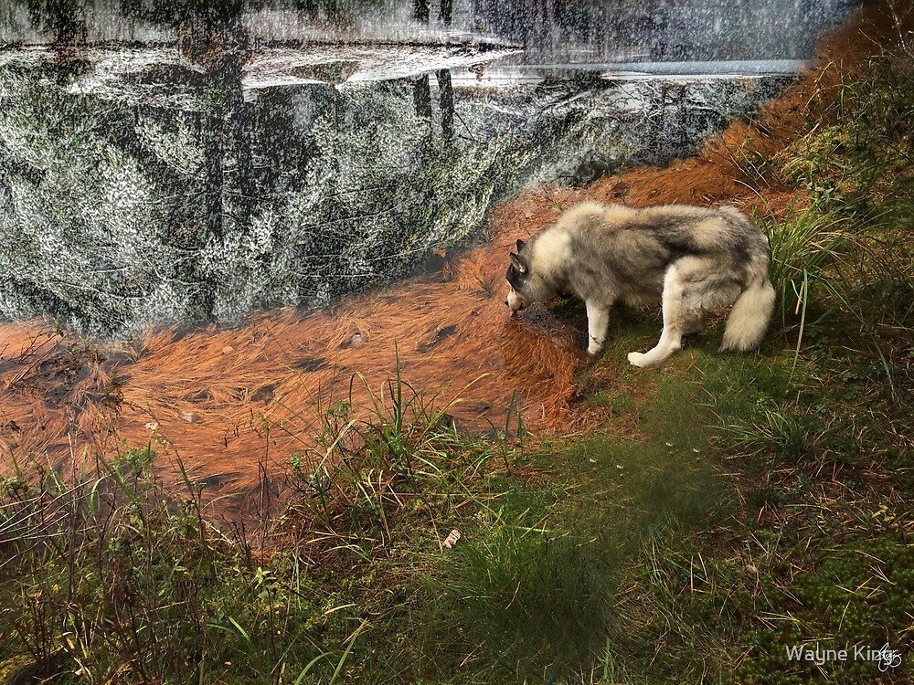
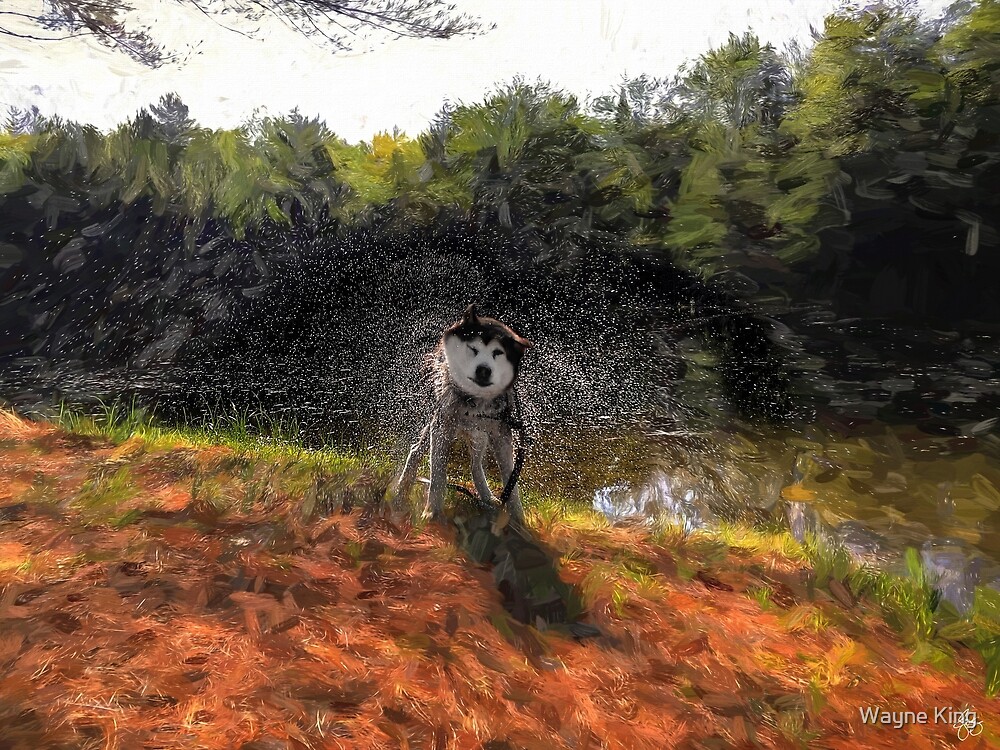
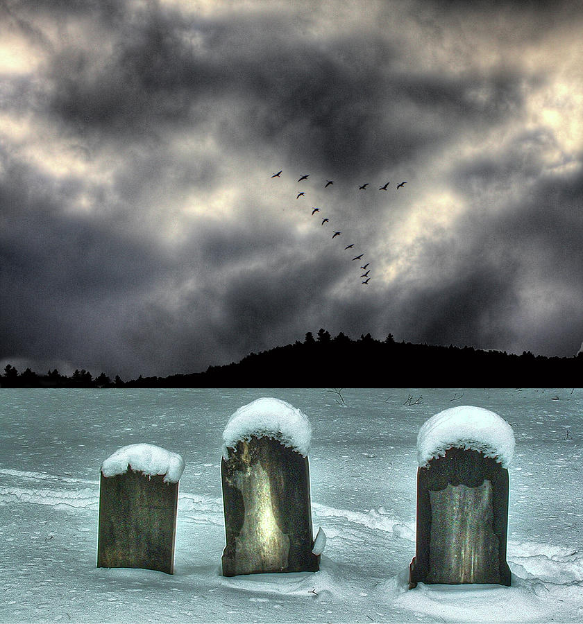
| Spirit of the Snowdog |
 |
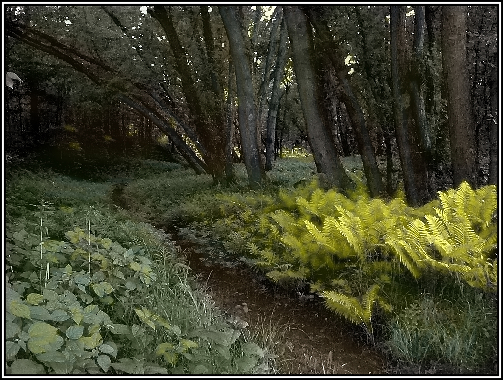
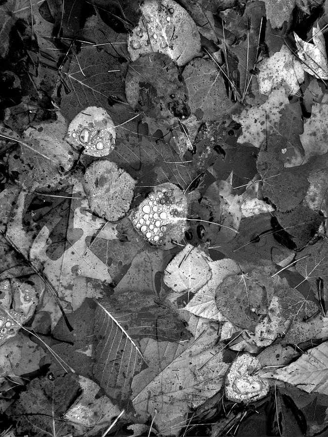
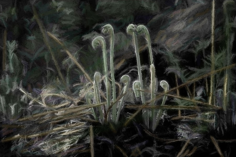
| Still Life with Wood Ferns |
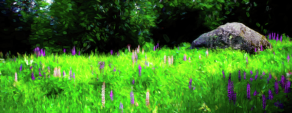 |
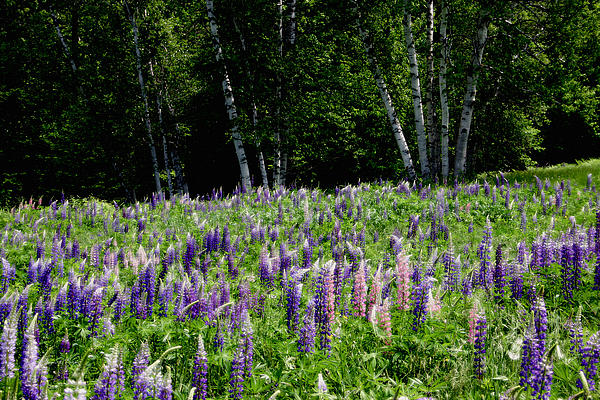
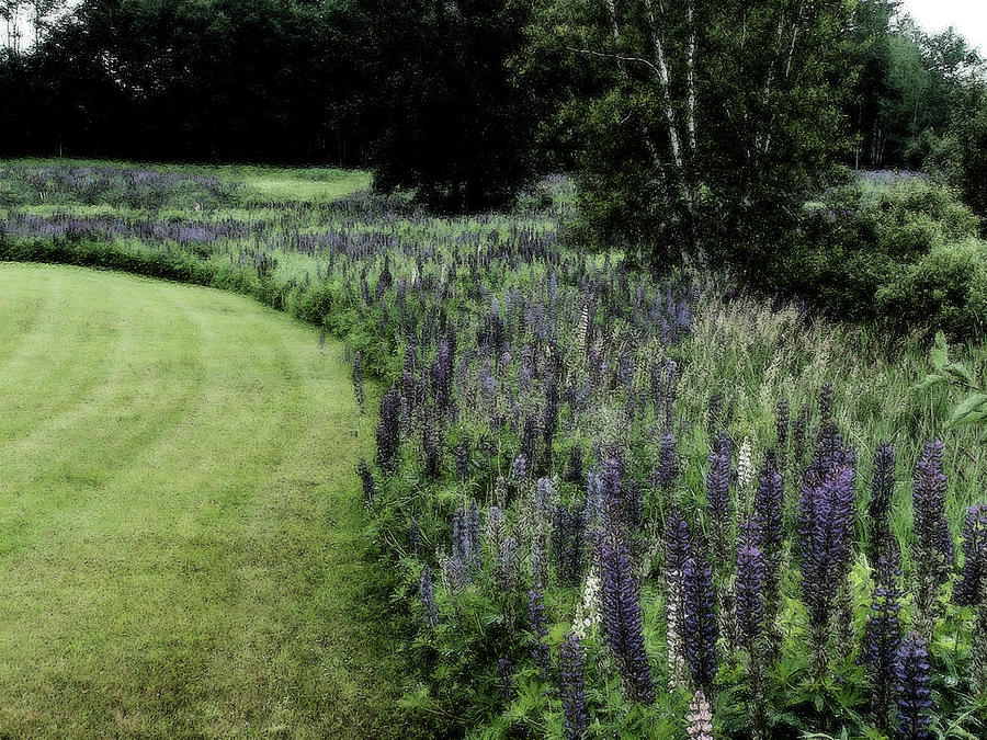
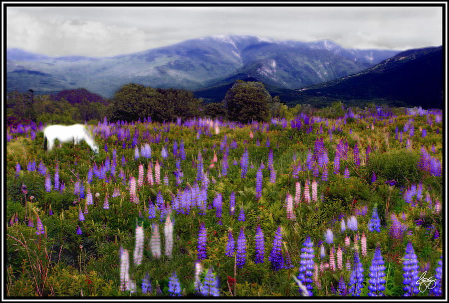
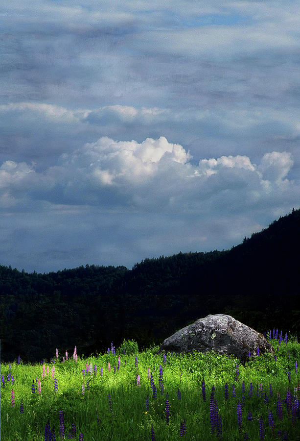
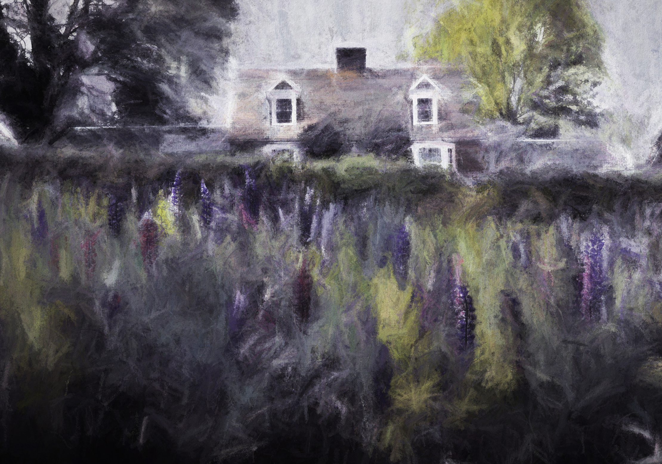
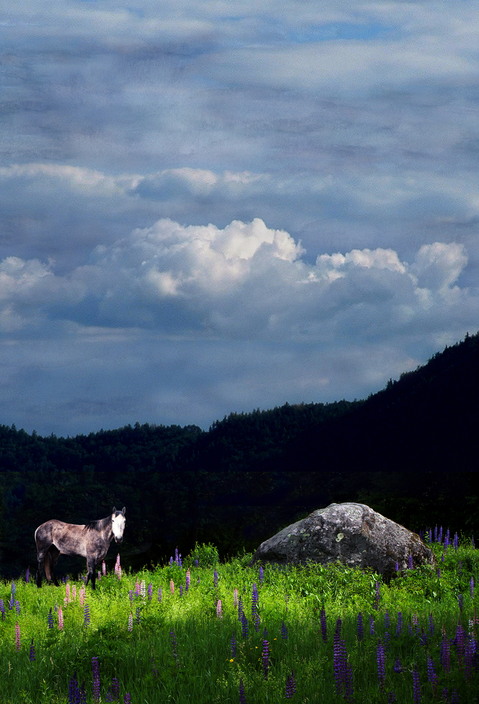
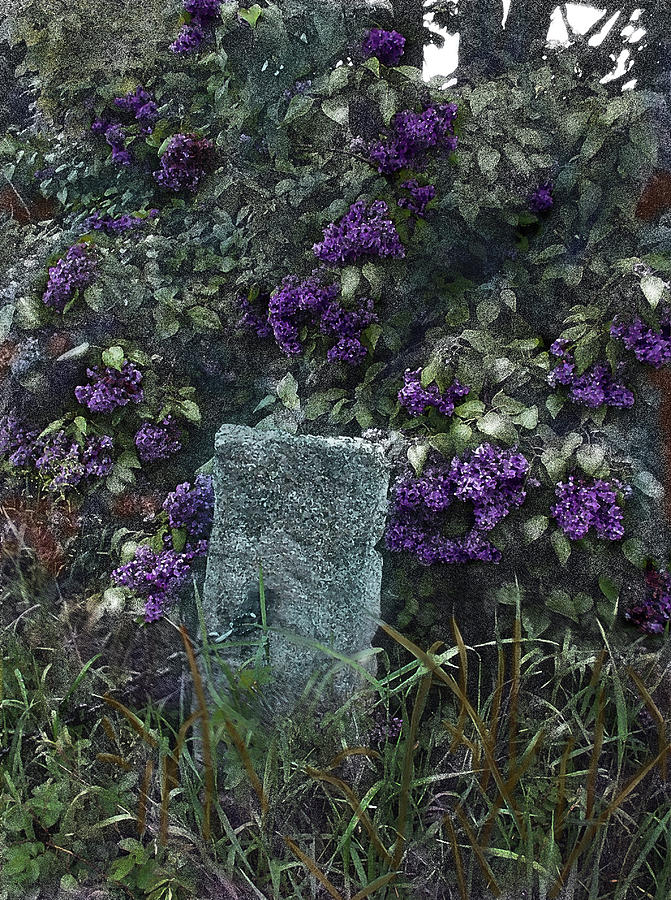
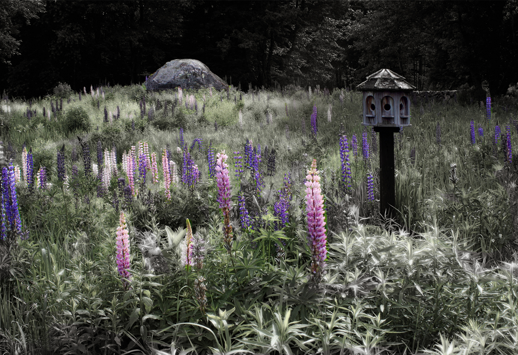
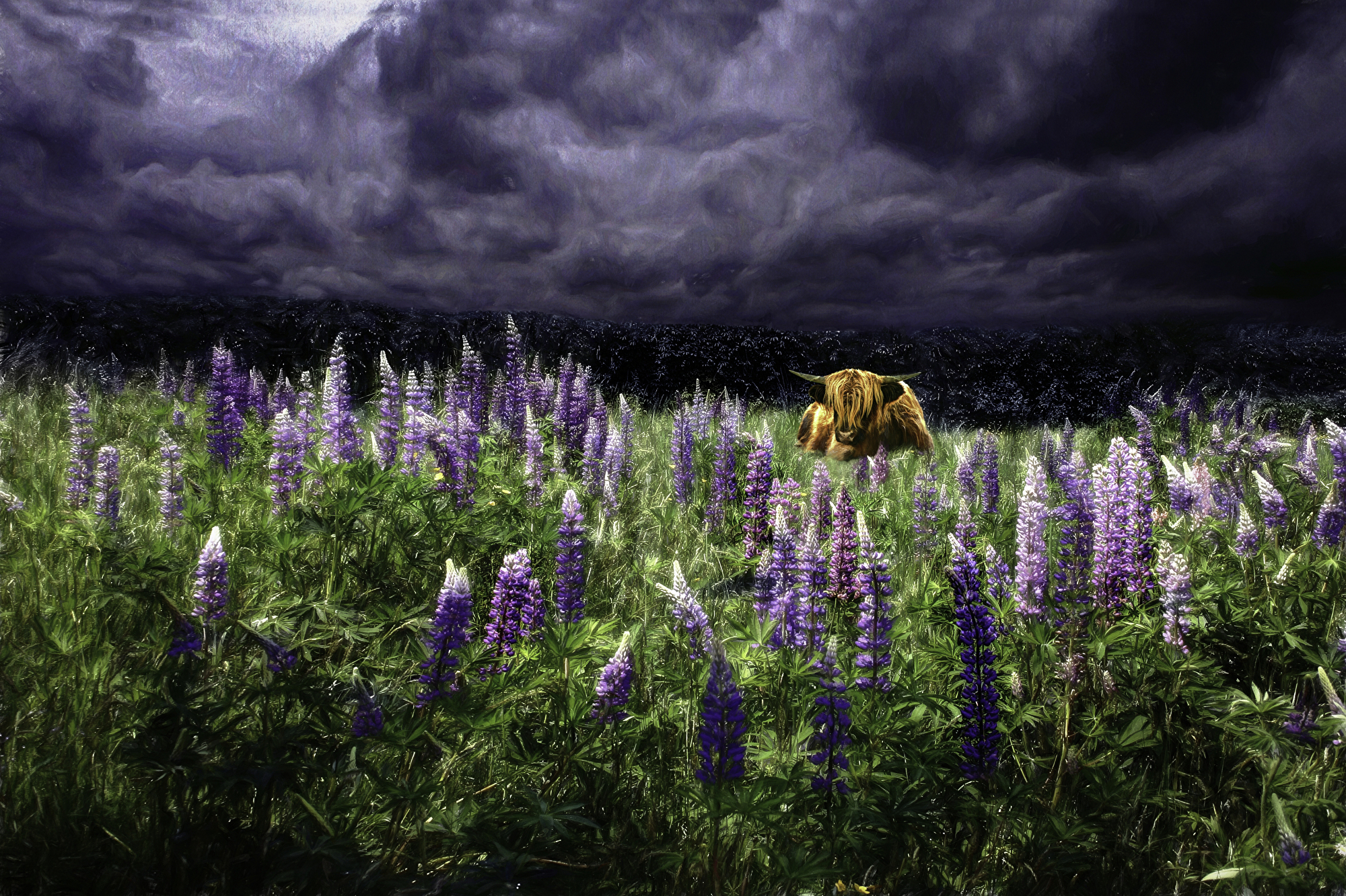
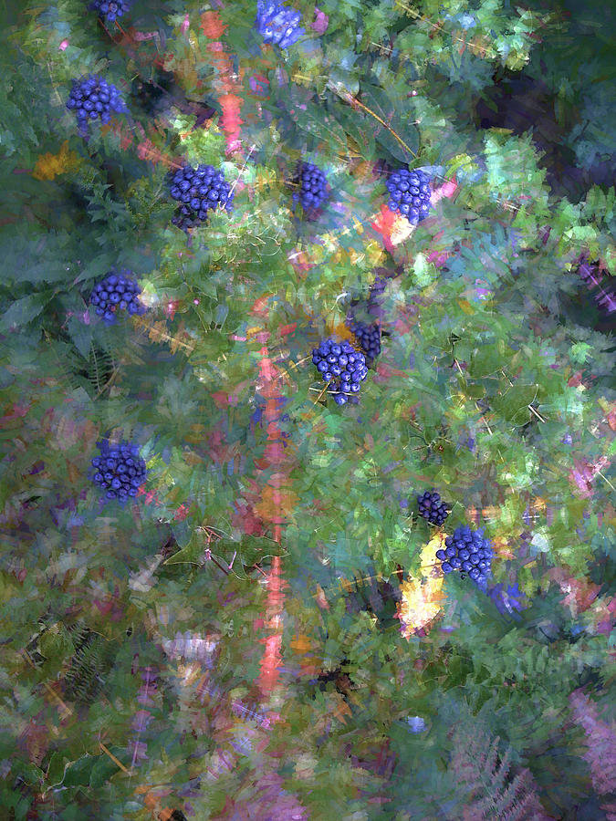
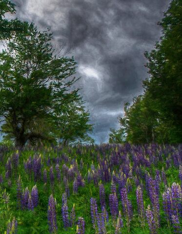
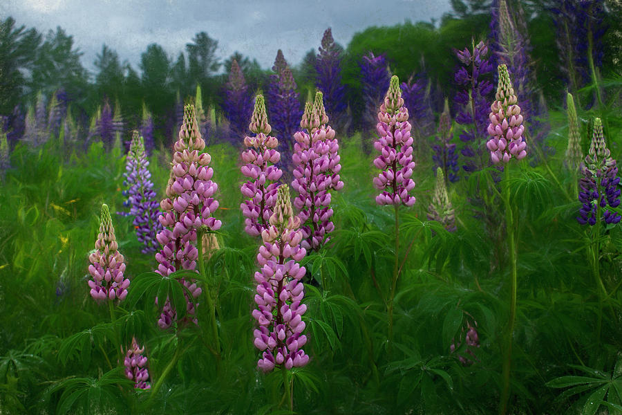
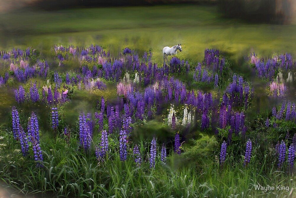
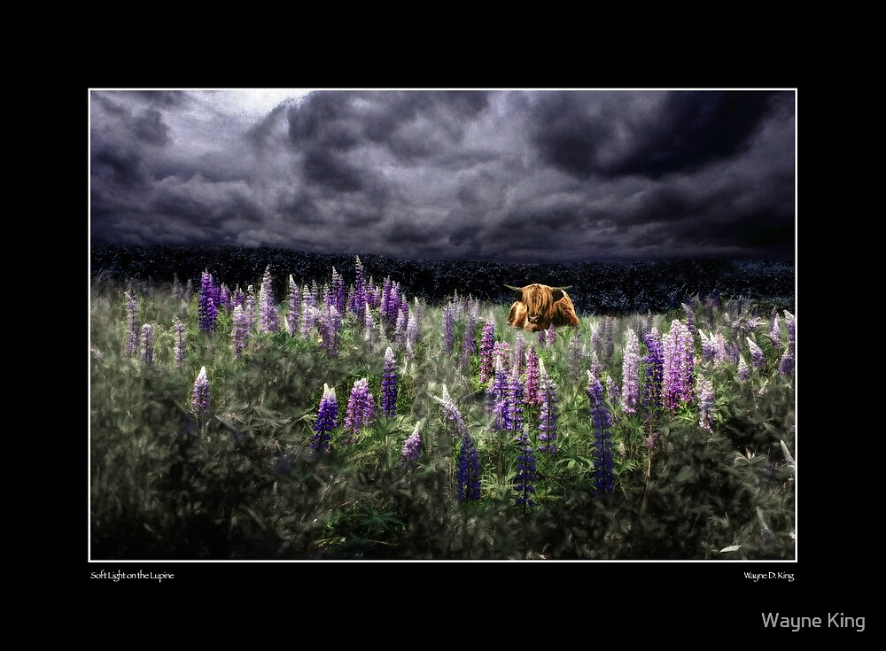
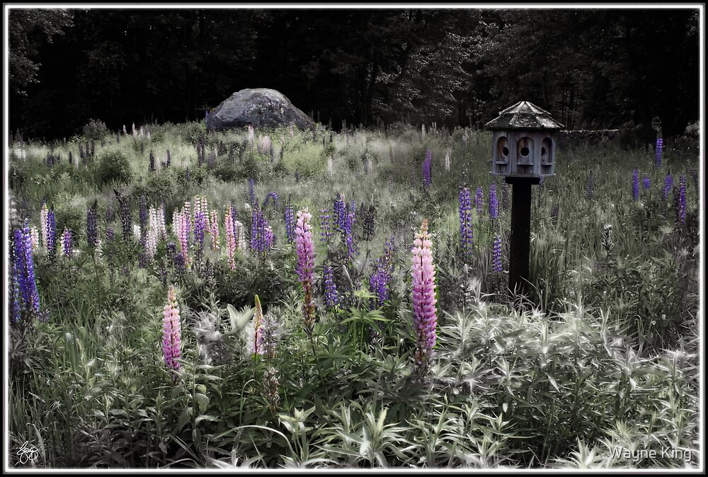
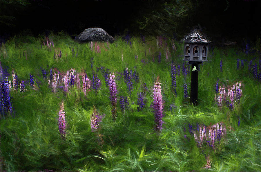
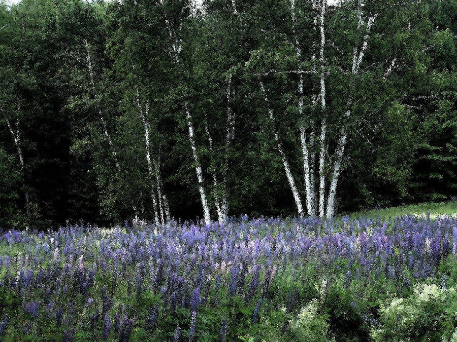
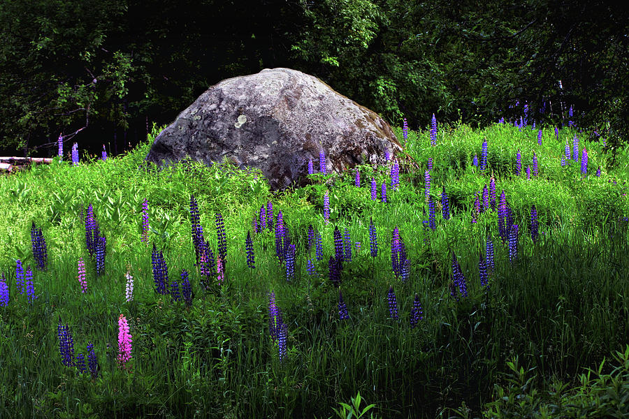
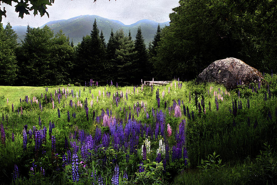
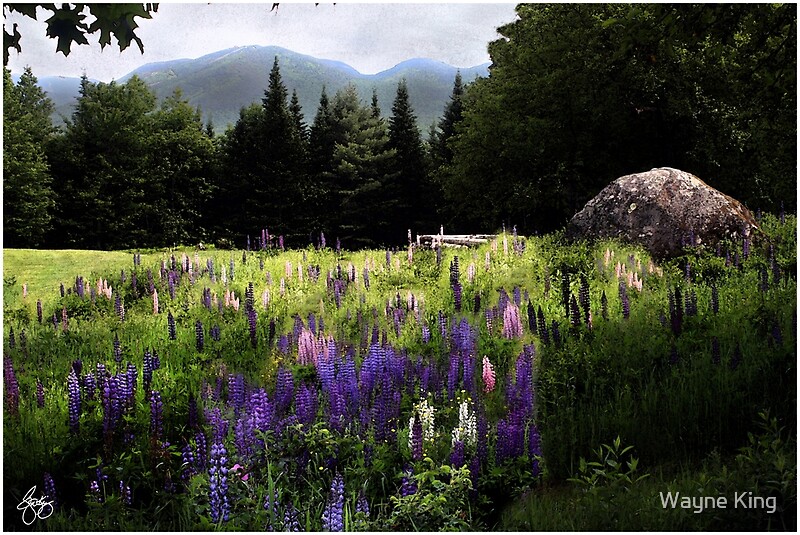
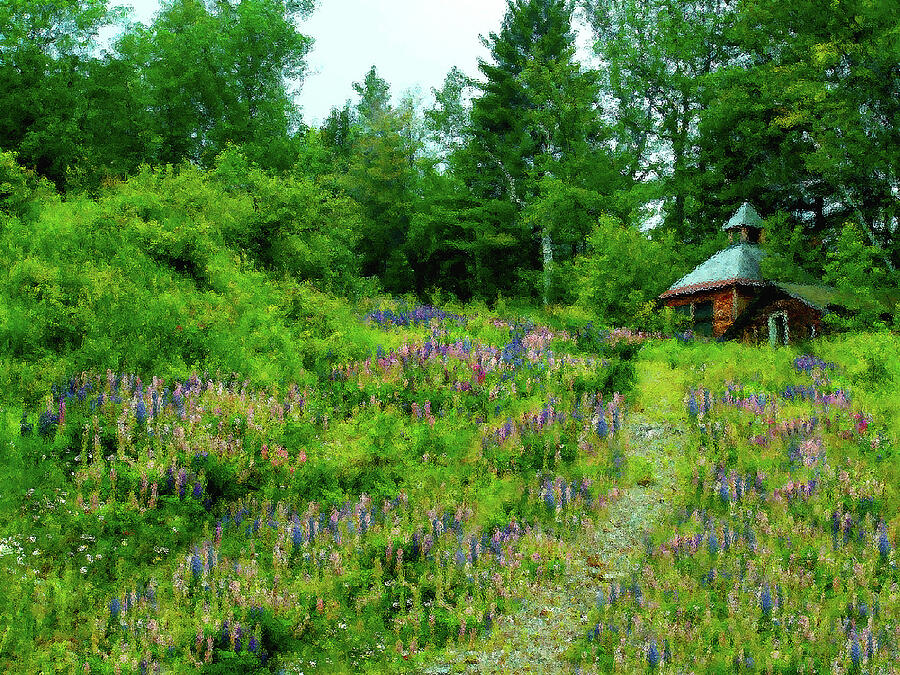
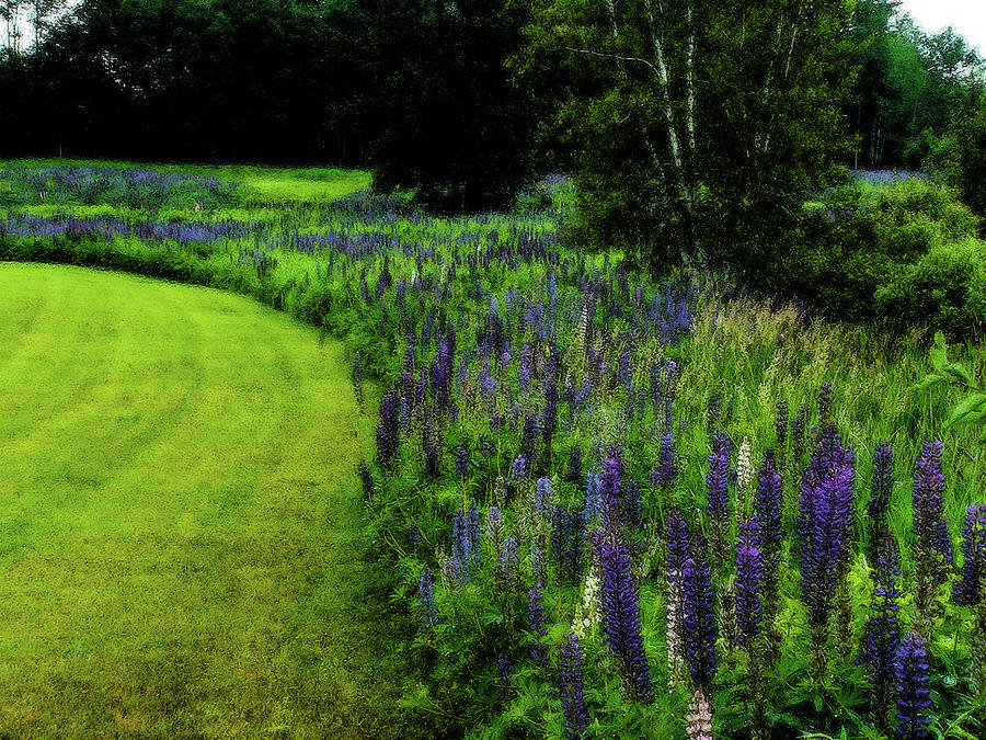
| Glacial Boulder in the Lupines |
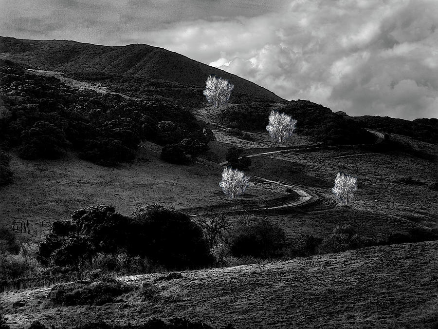 |
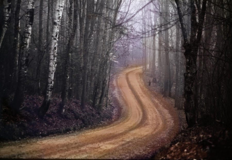
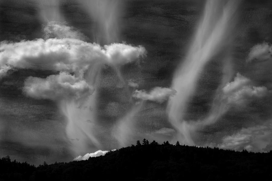
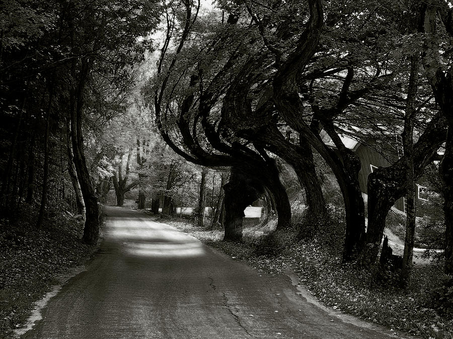
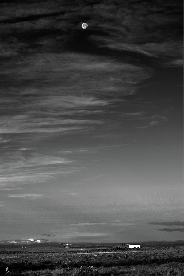
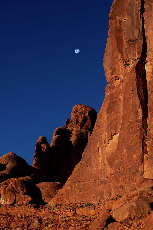
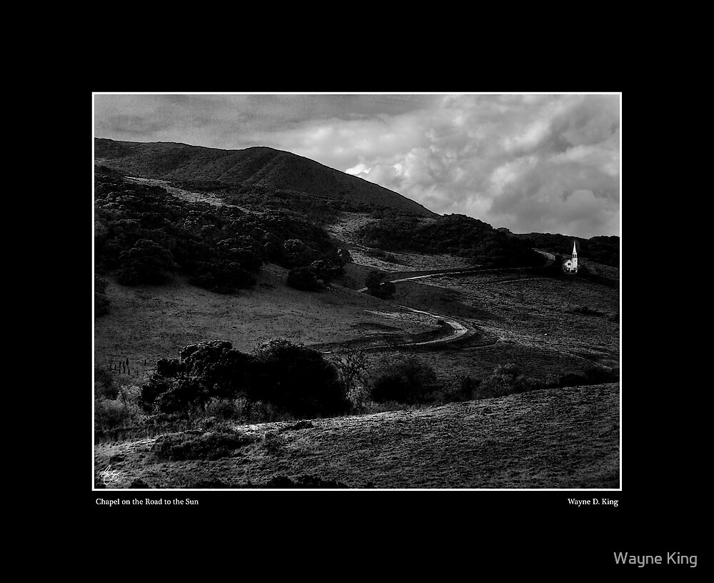
| Ghosts on a Road to the Sun |
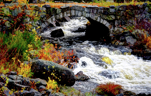 |
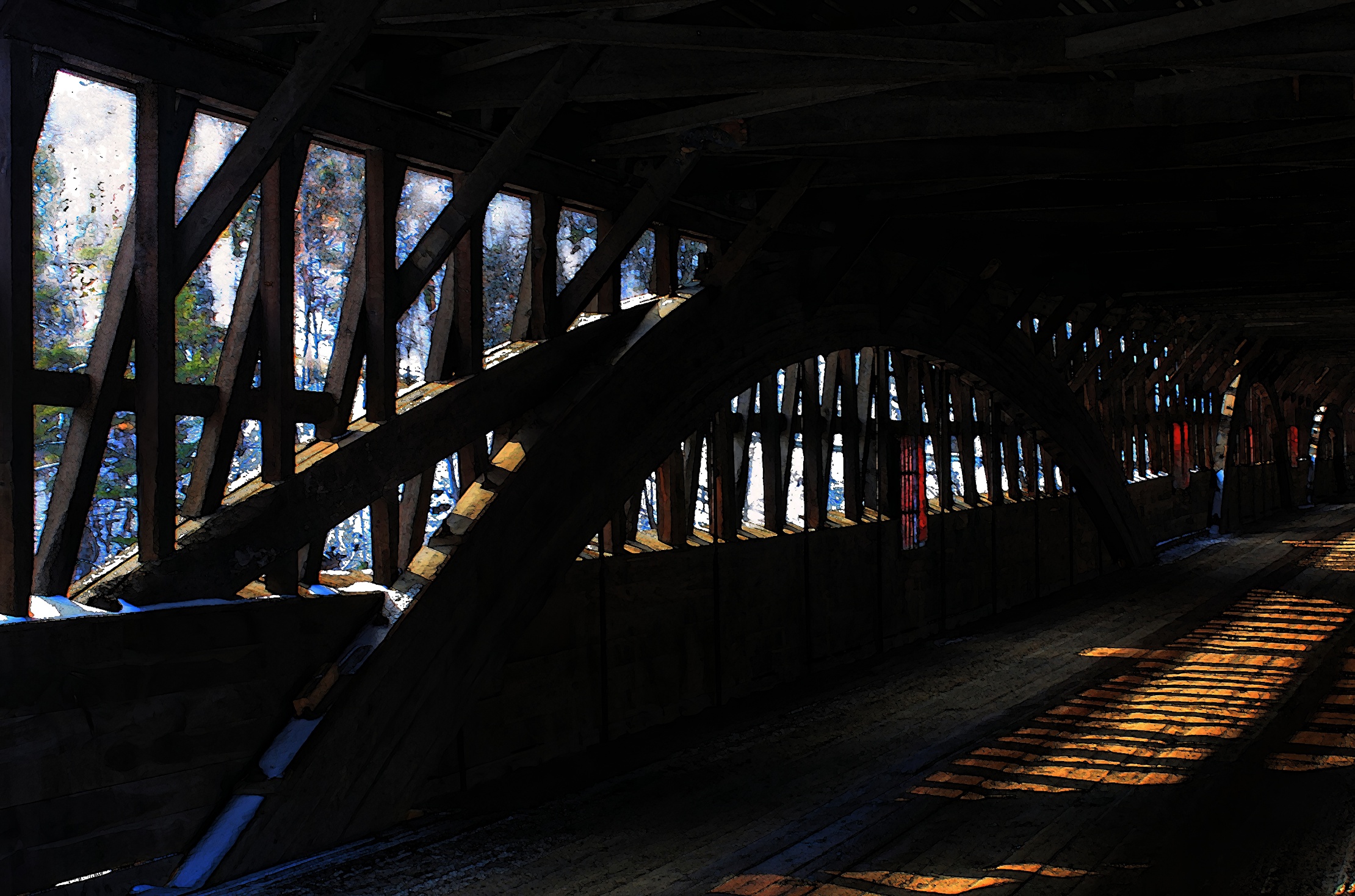
| The Stone Arch Bridge, Hancock NH |
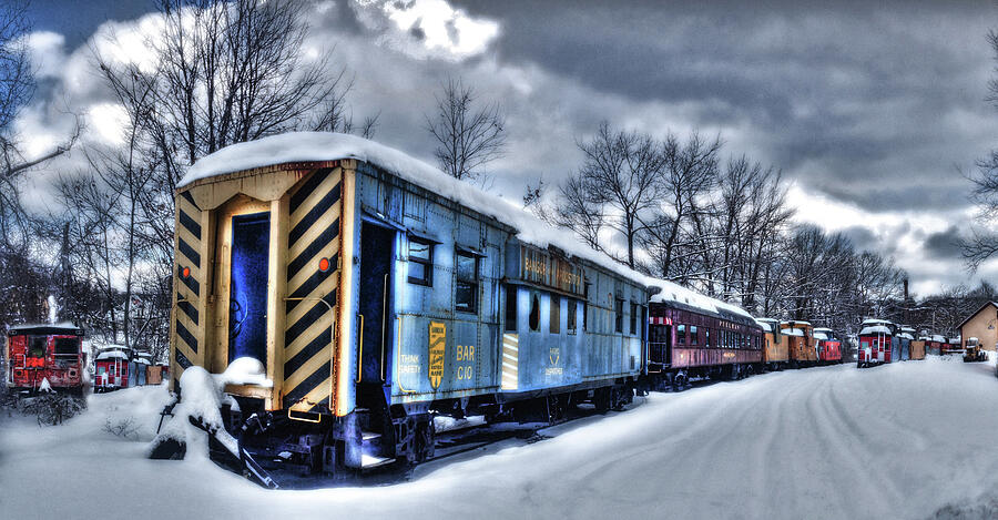 |
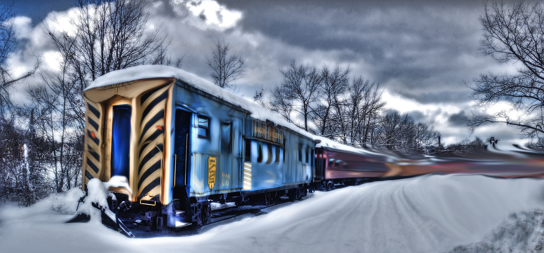
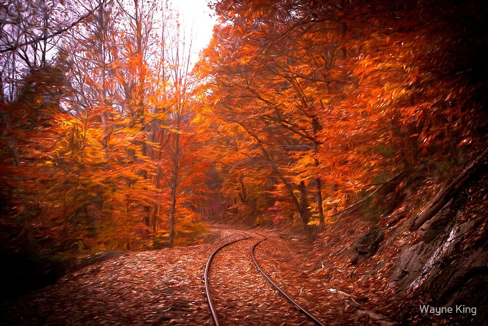
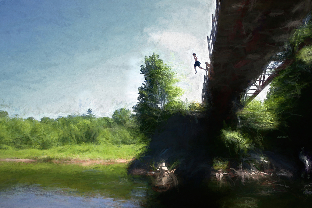
| The Magic Train |
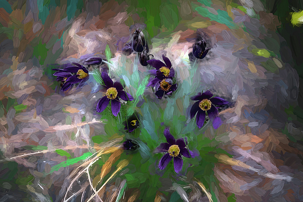 |
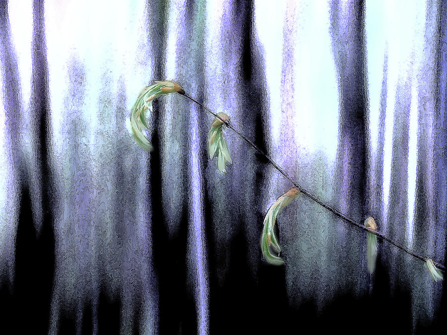
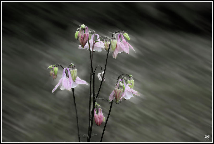
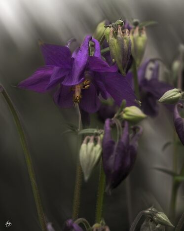
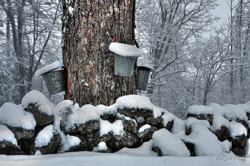
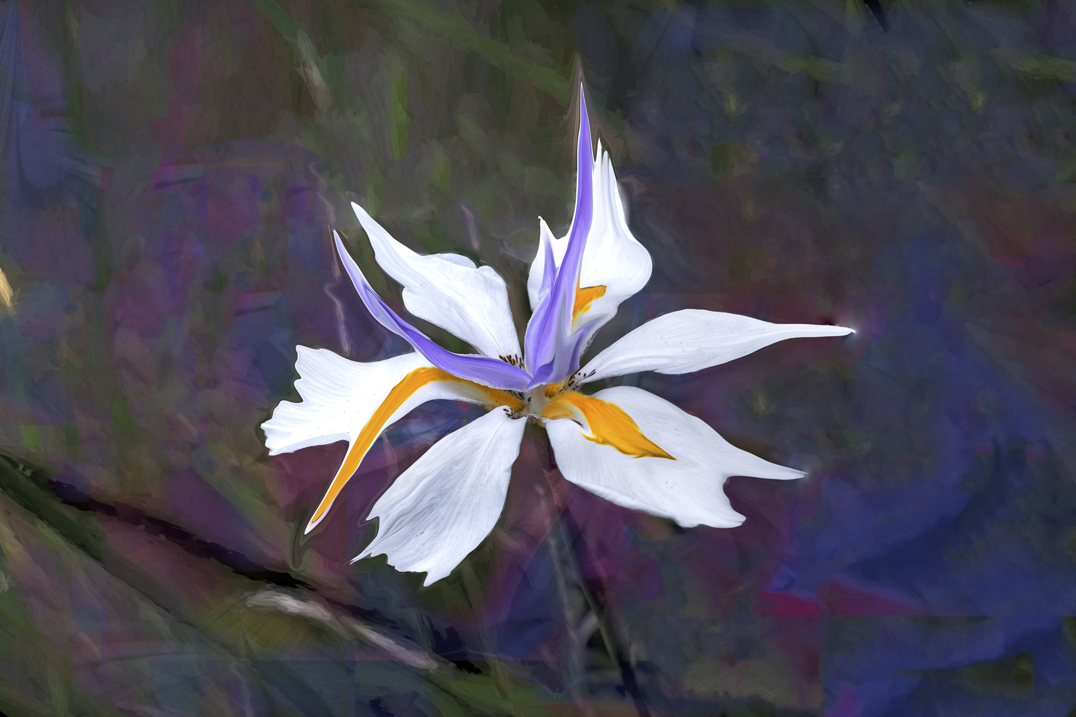
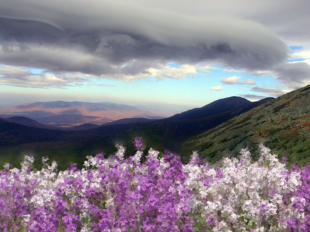
| Sunlight on a Pasque Flower |
 |
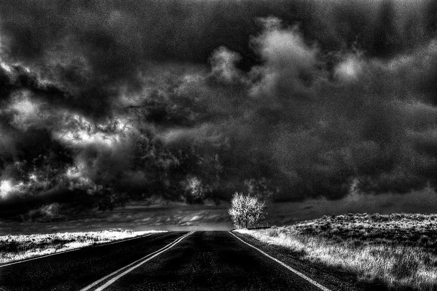
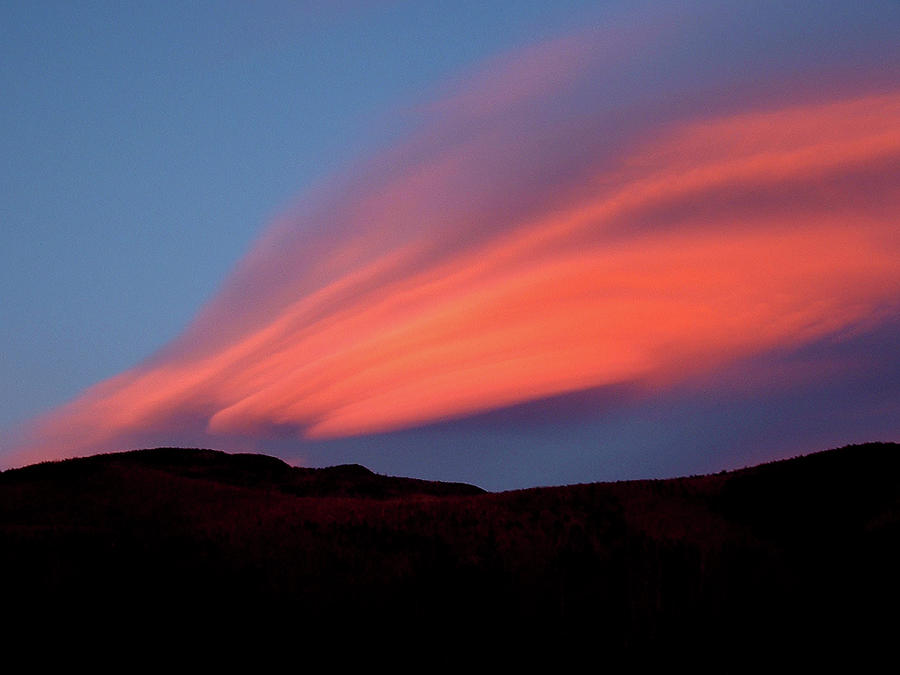
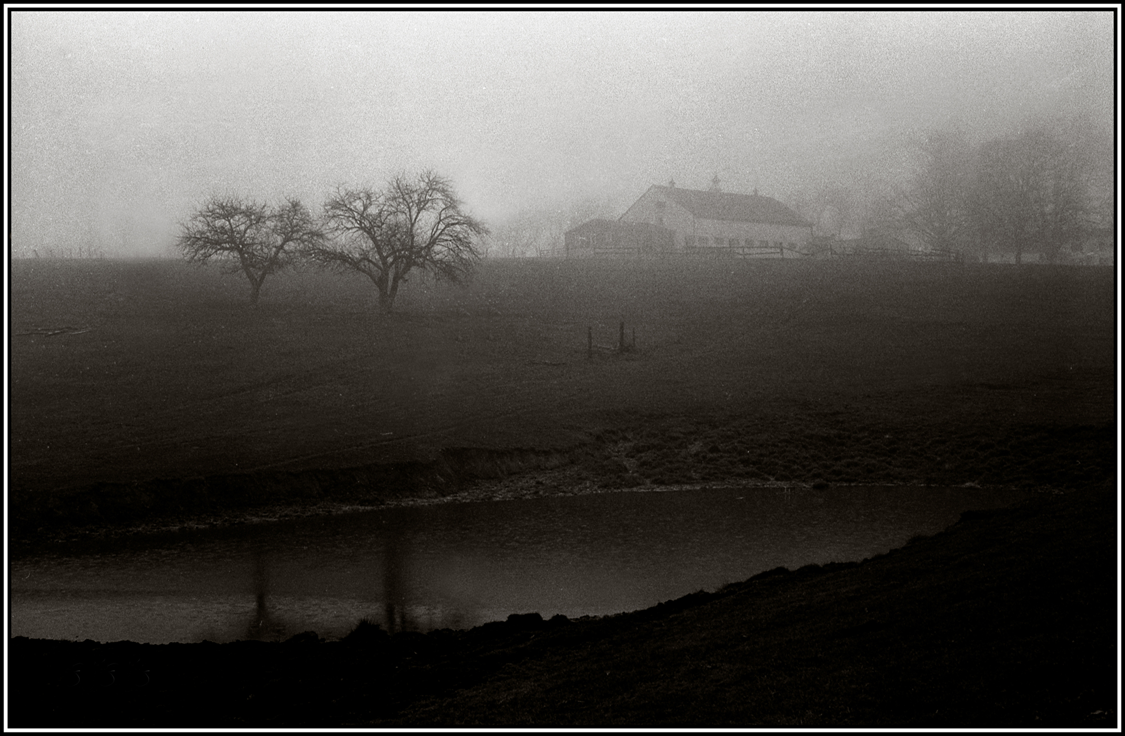
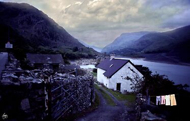
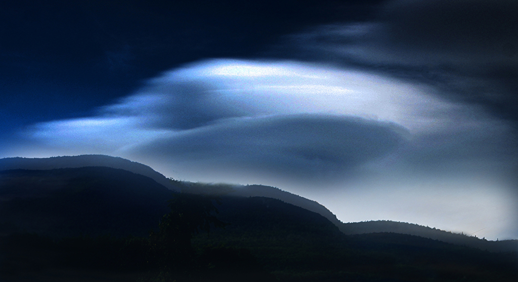
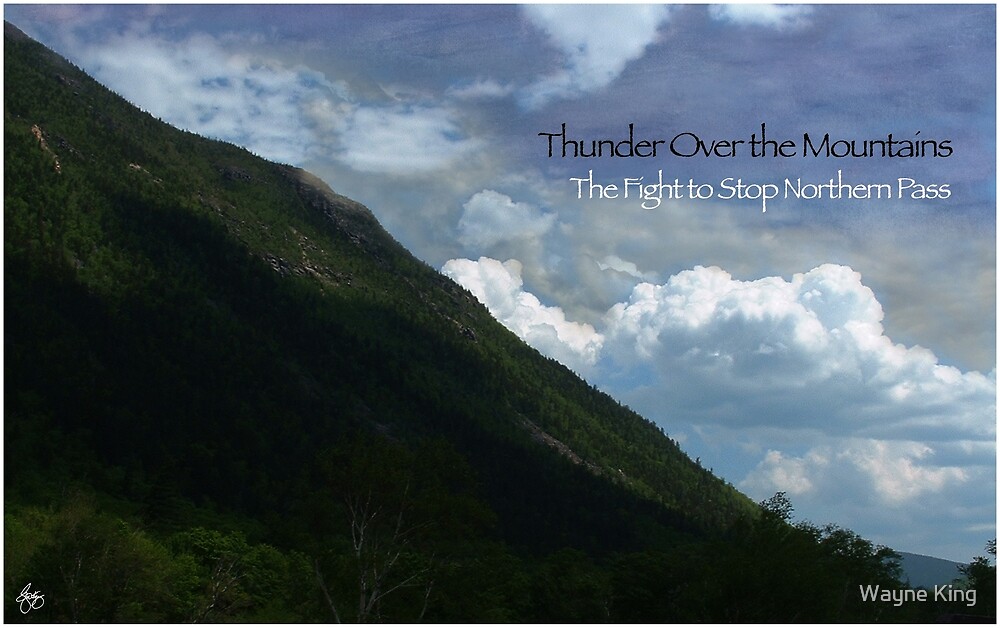
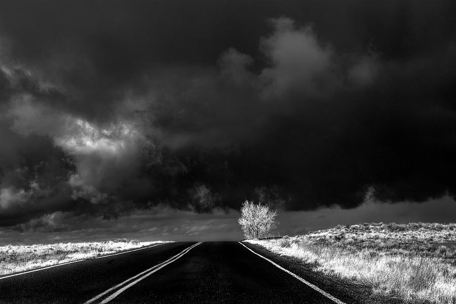
Storm over Aberystwyth, Wales |
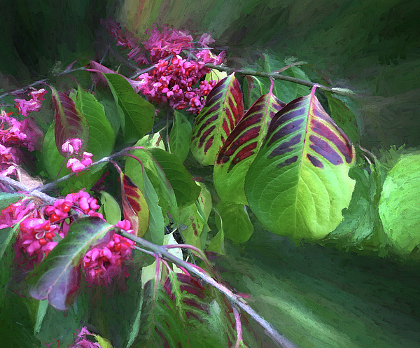 |
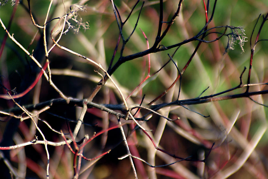
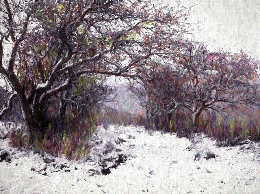
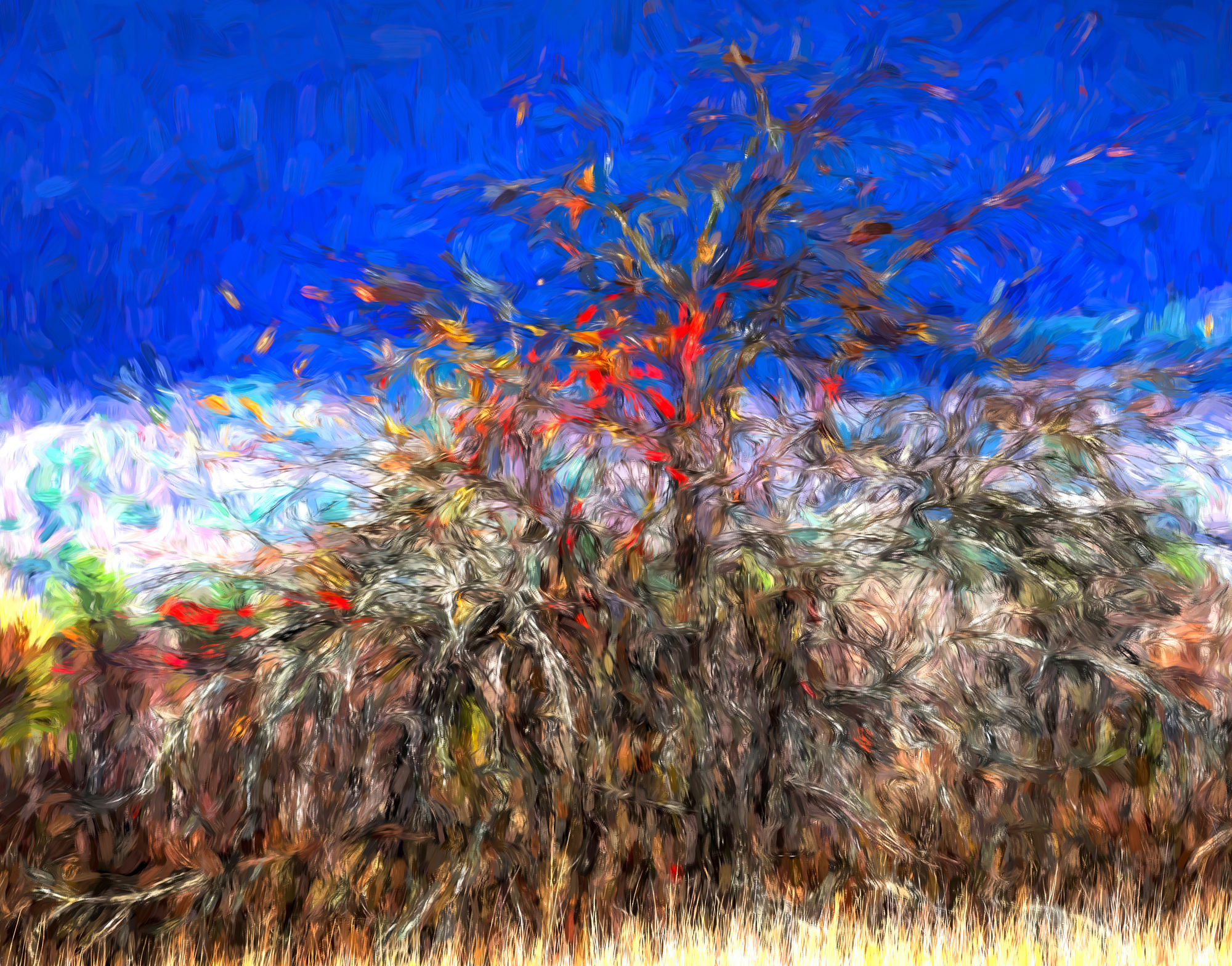
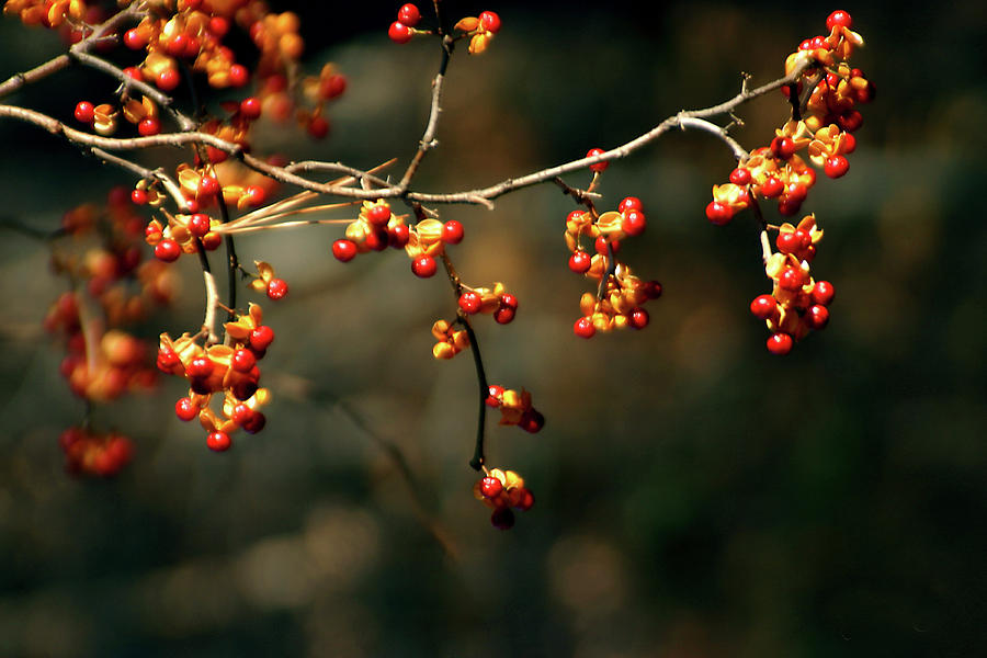
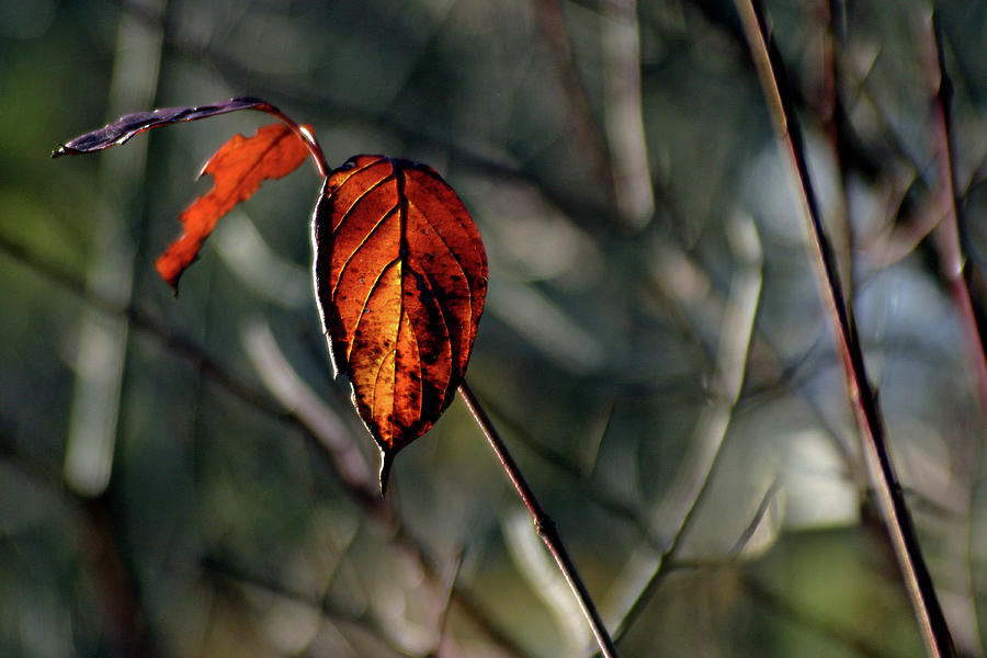
| Spindle Tree - Eastern Wahoo |
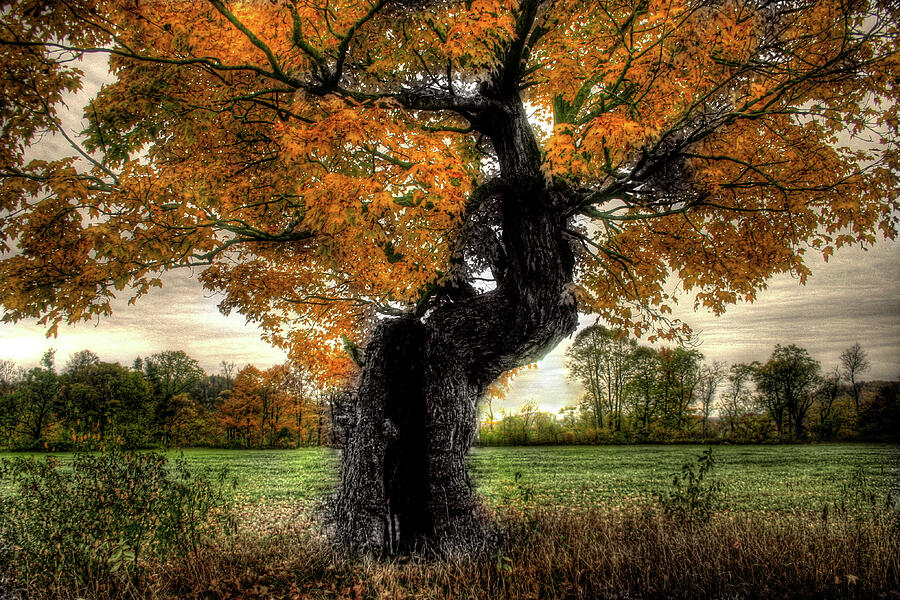 |
| Grandfather's Maple |
 |
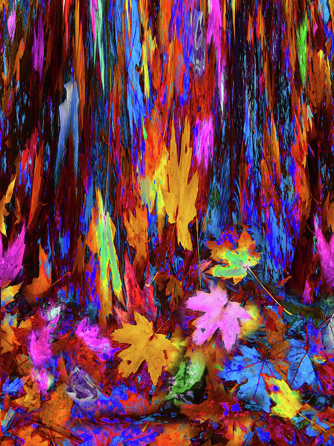
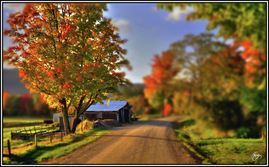
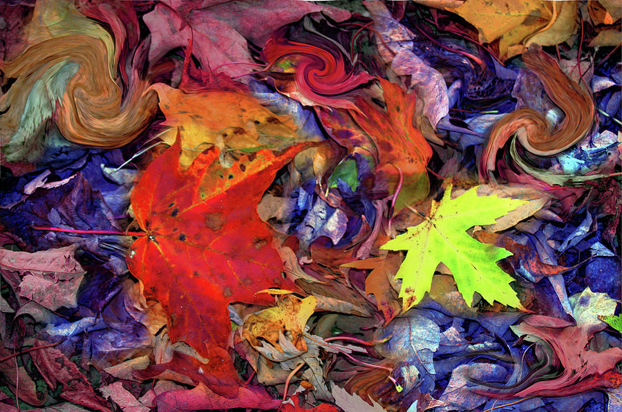
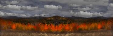
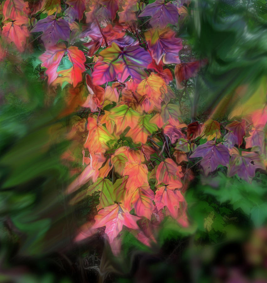
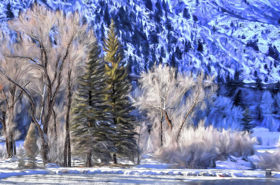
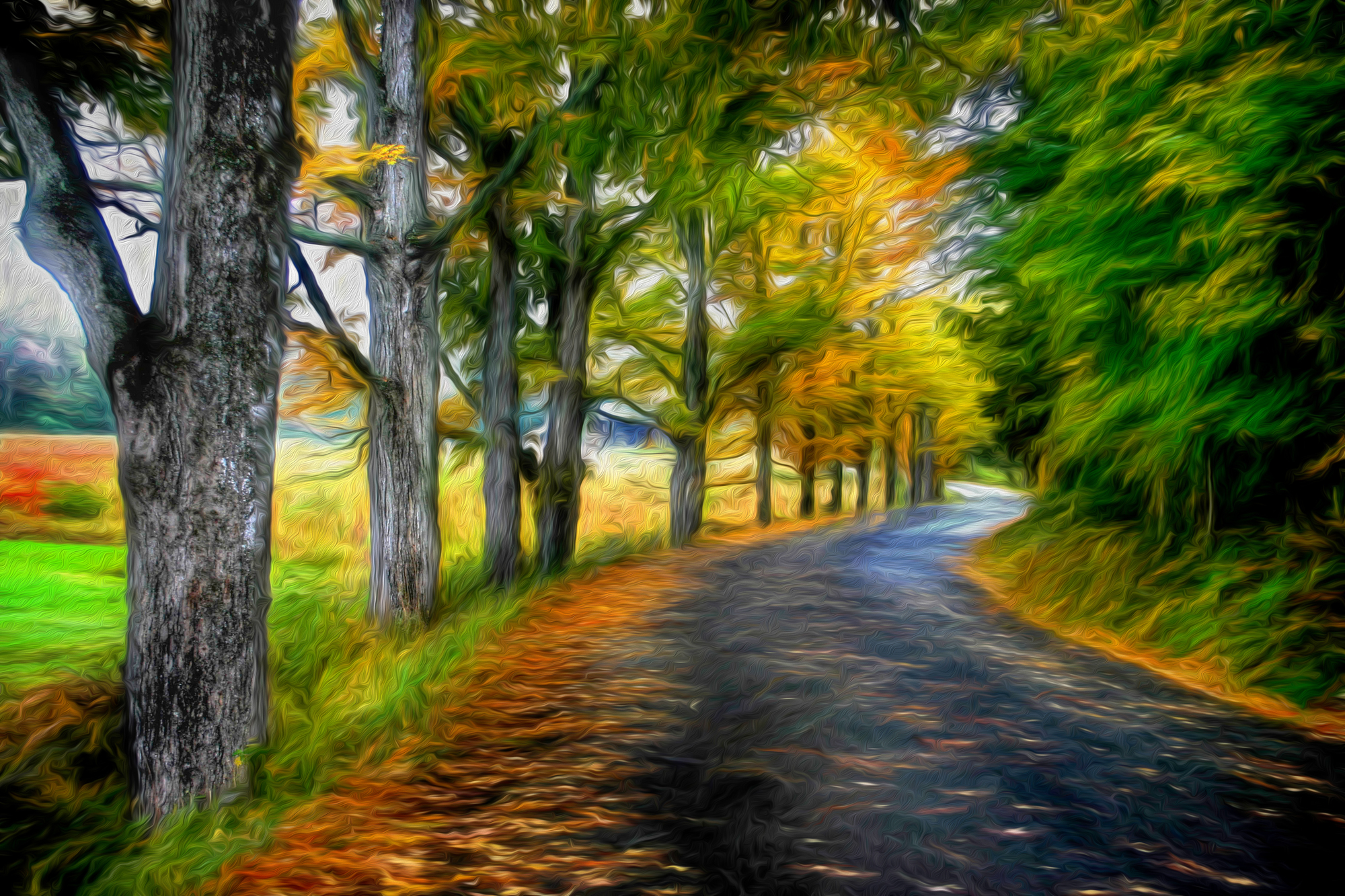
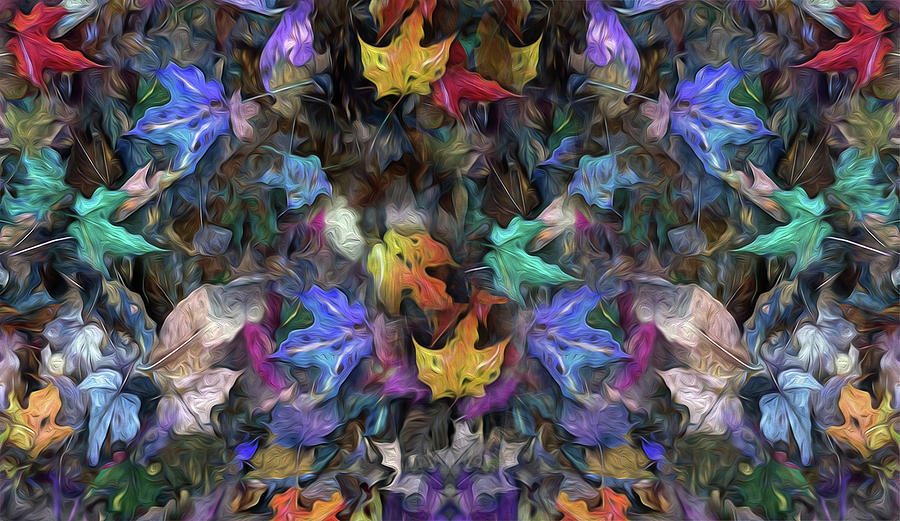
| Autumn Impressions |
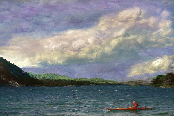 |
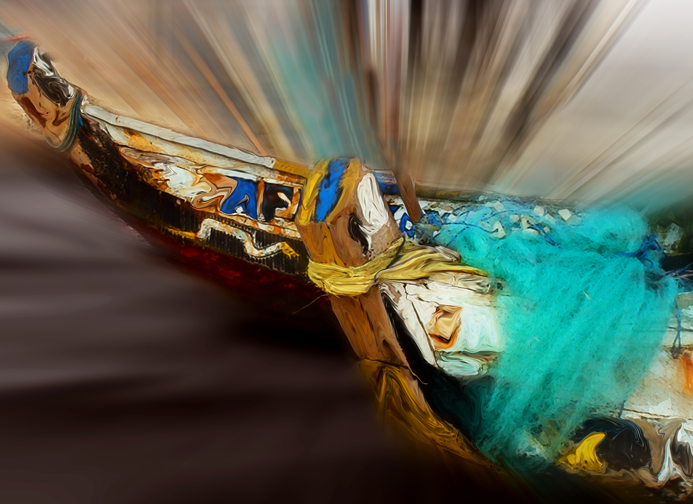
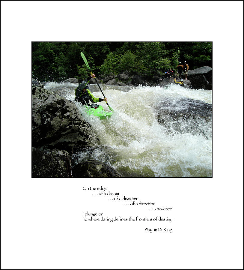
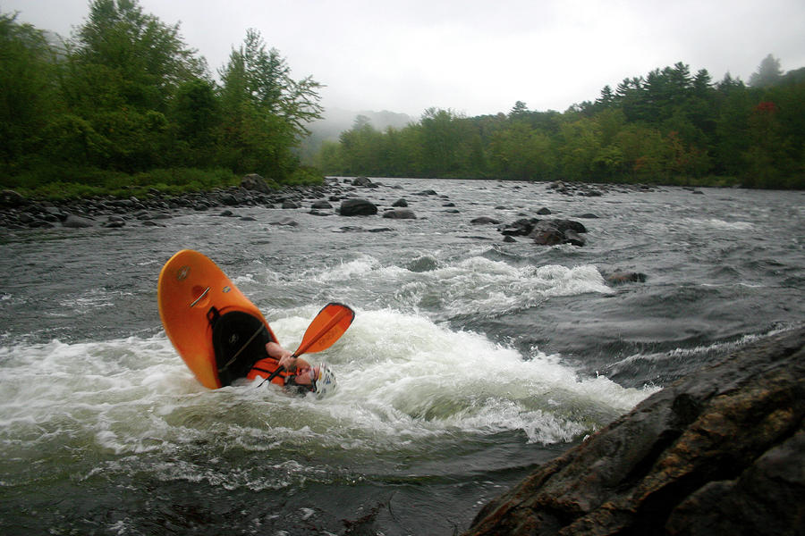
| Newfound Kayak |
 |
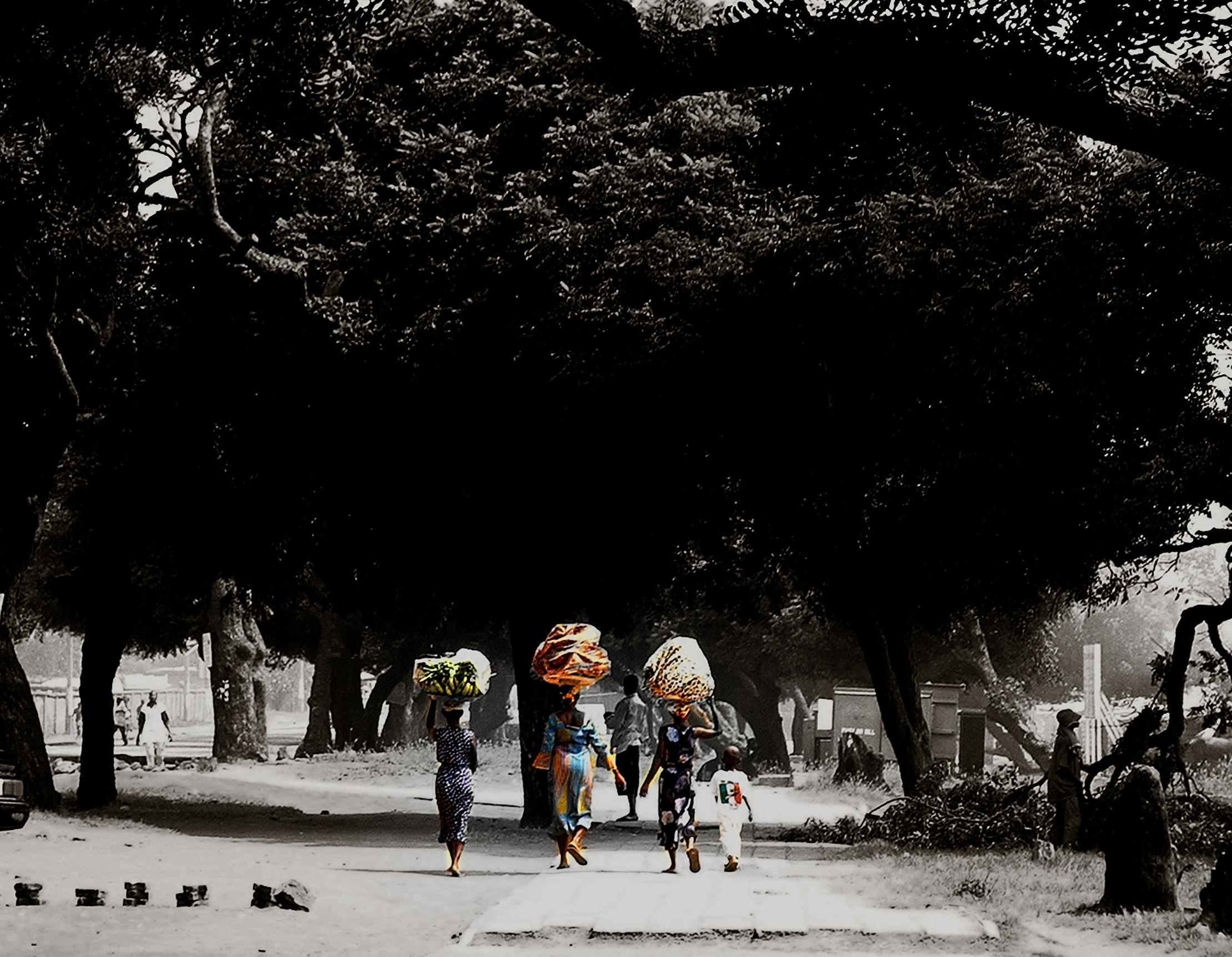
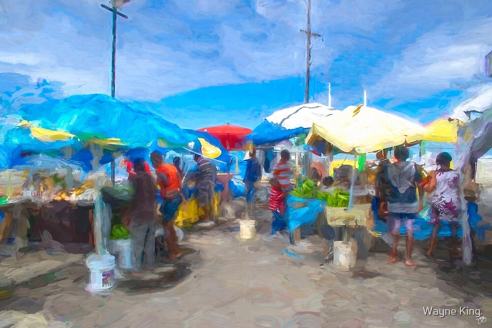
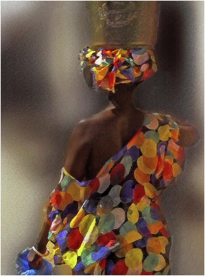
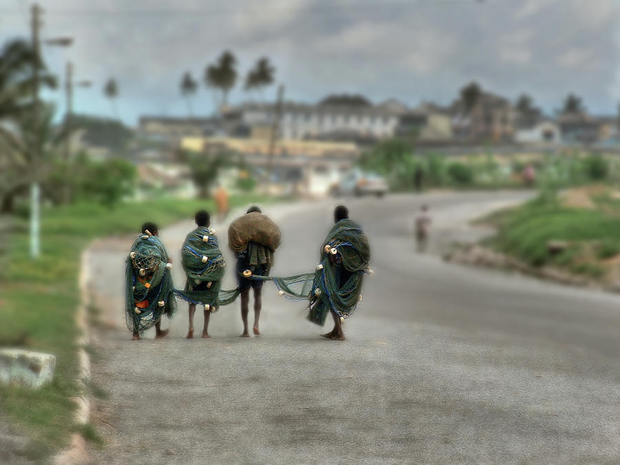
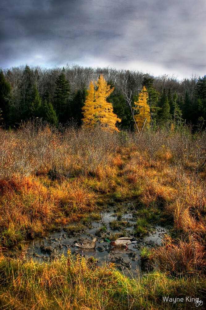
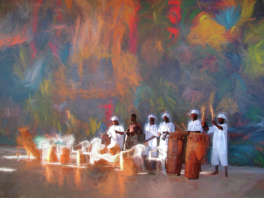
| Sunlight Bathes the Wash in Ghana |
 | ||||||||||||||||||||||
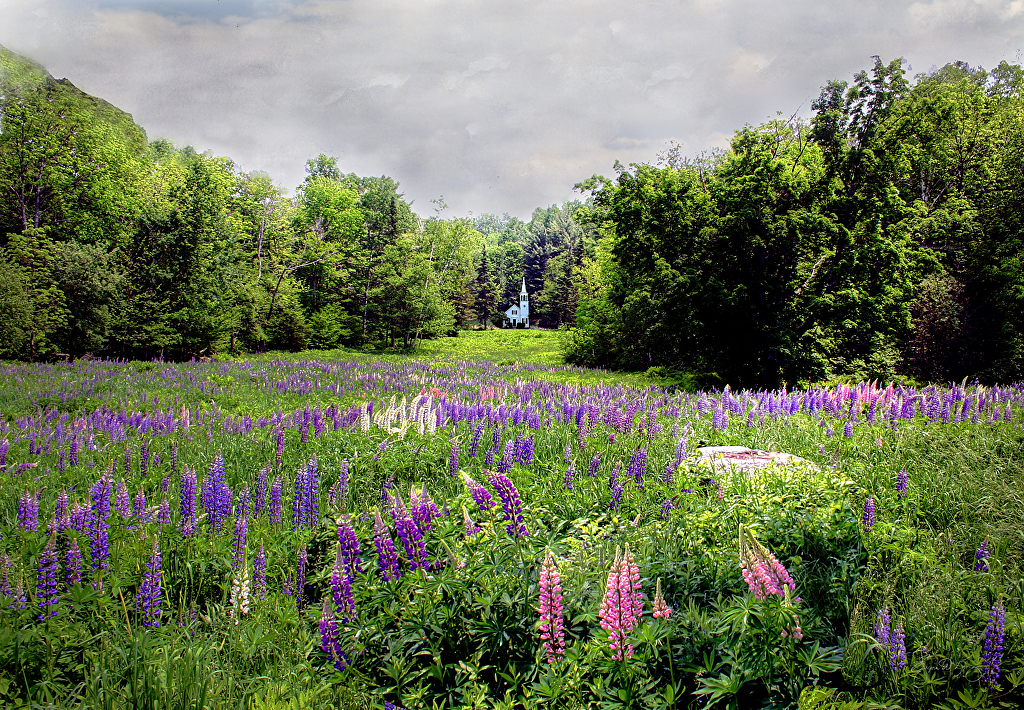
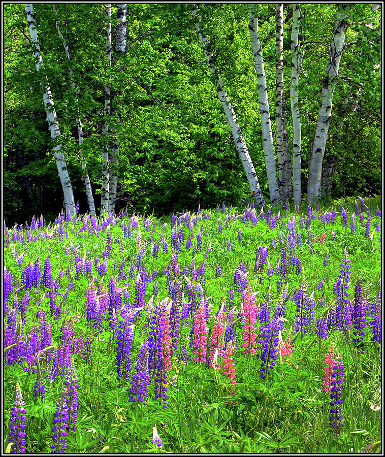
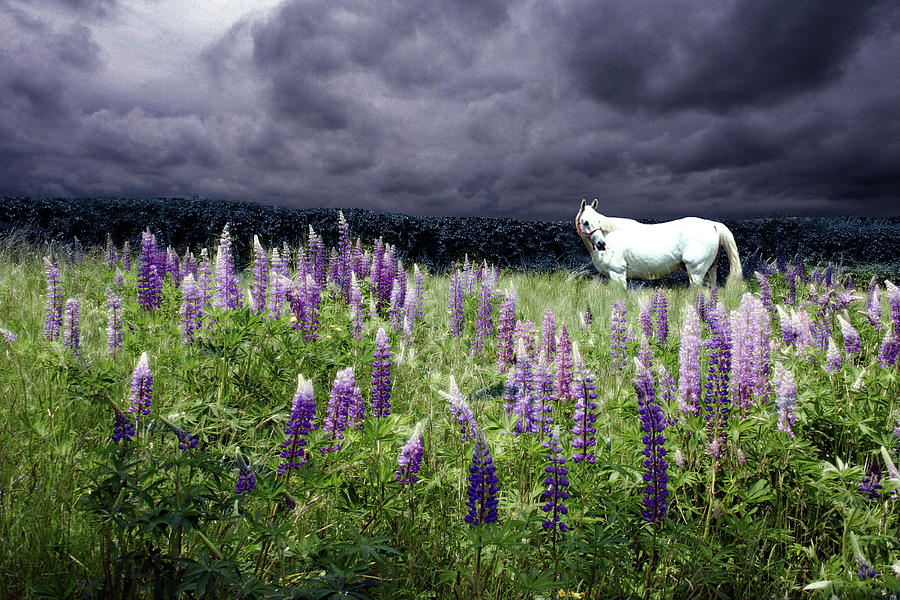
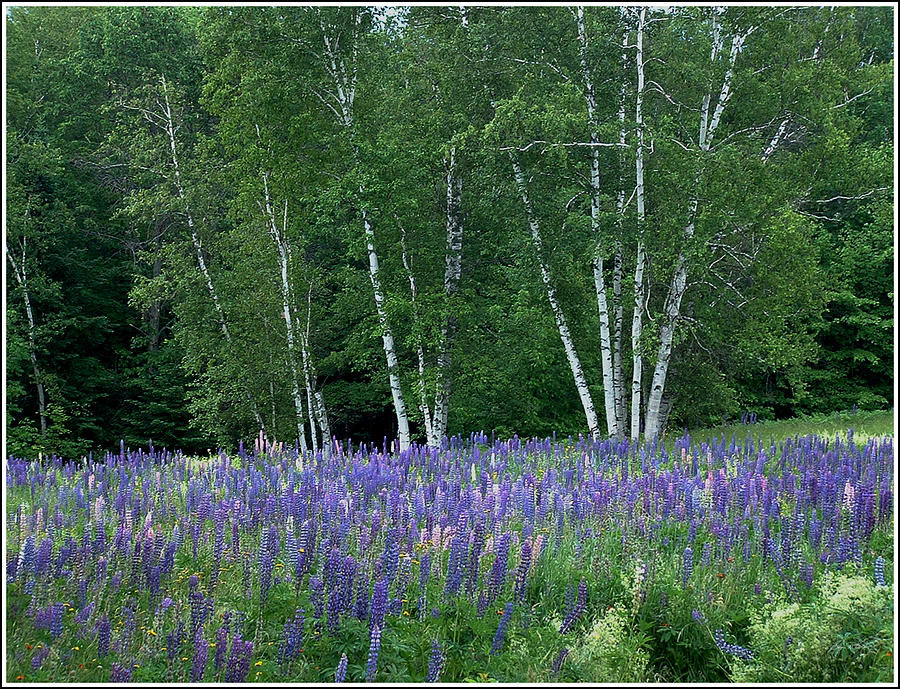
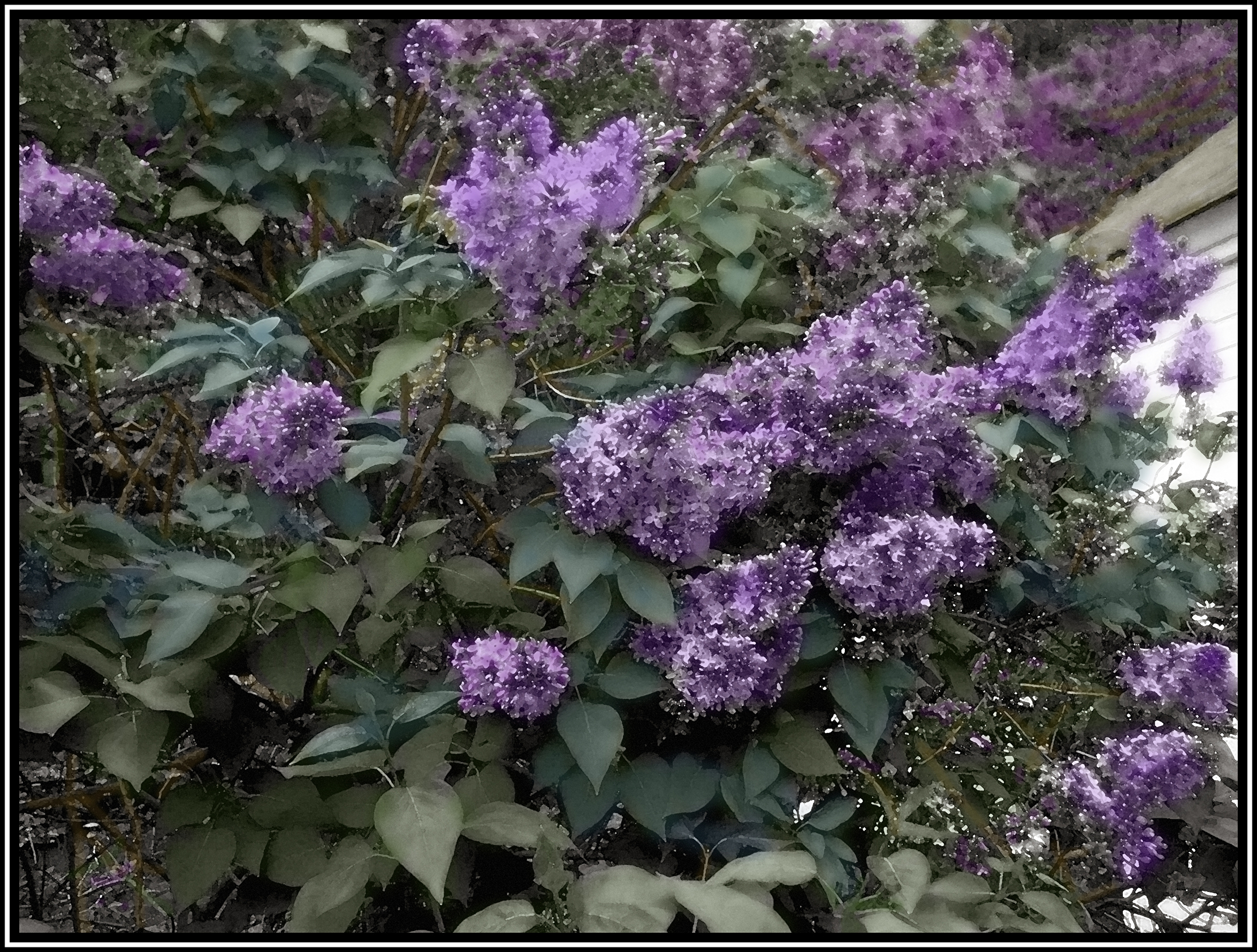
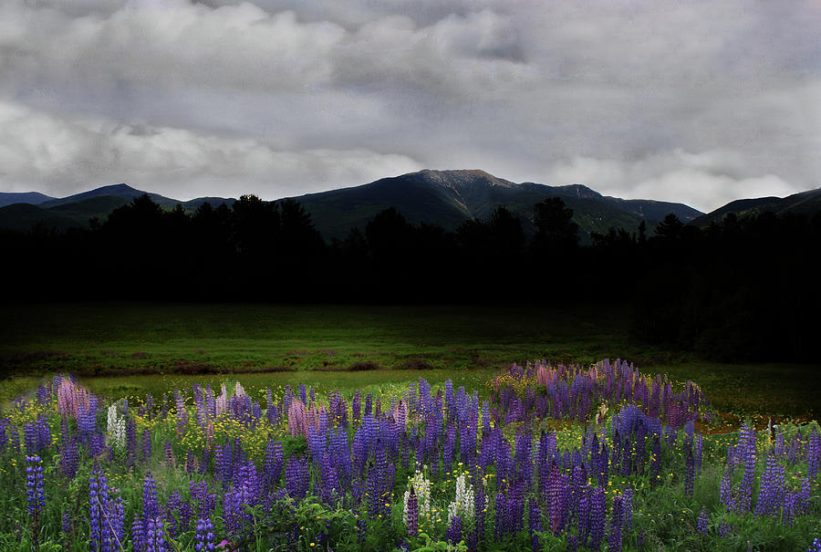
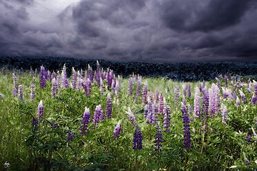
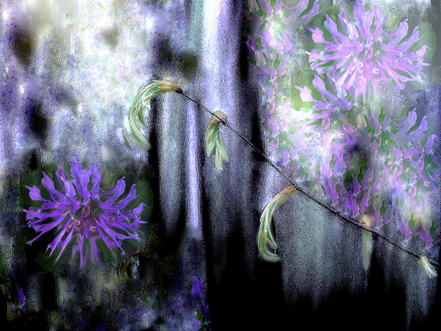
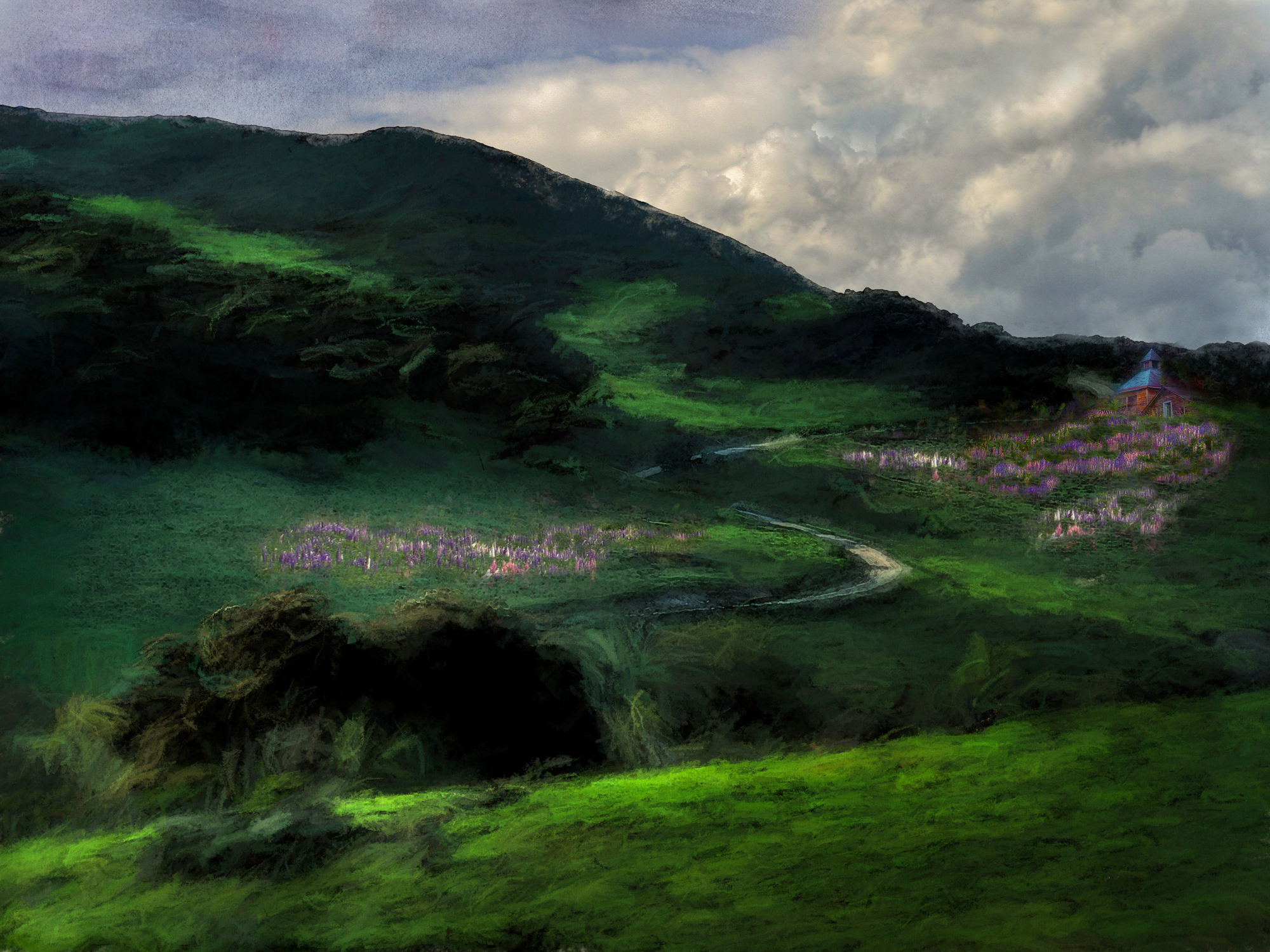
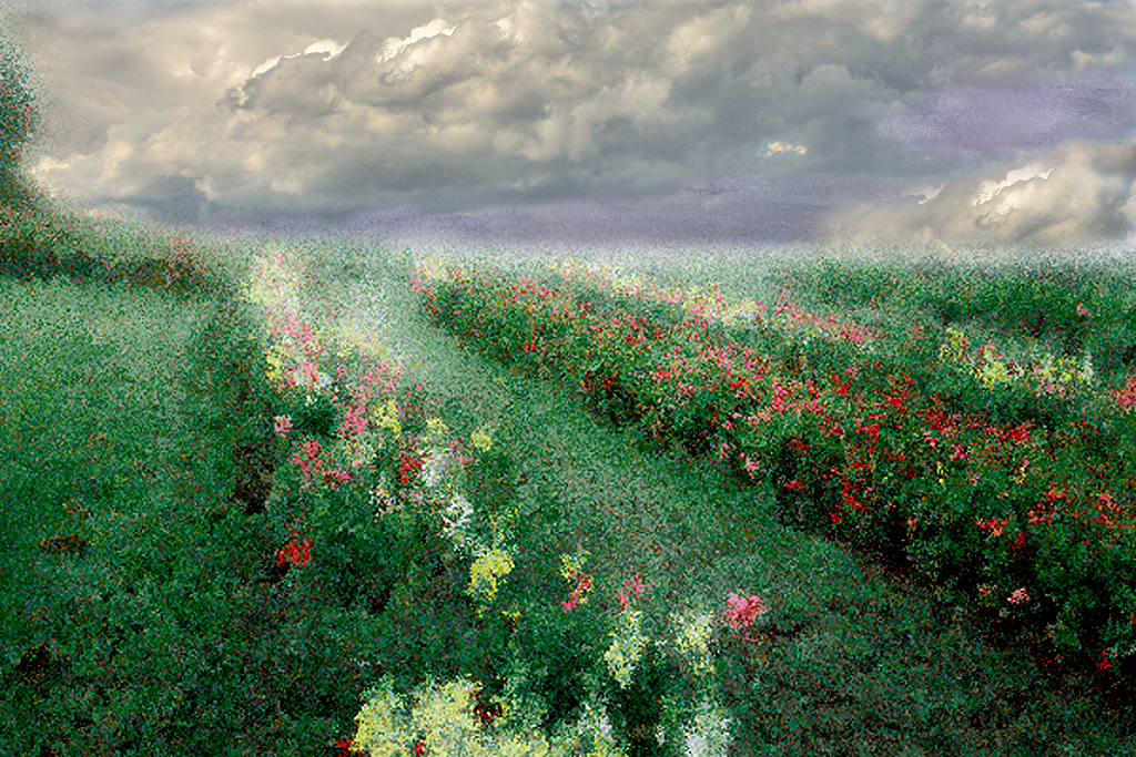
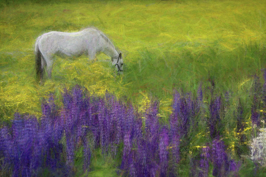
City of Lupine
|


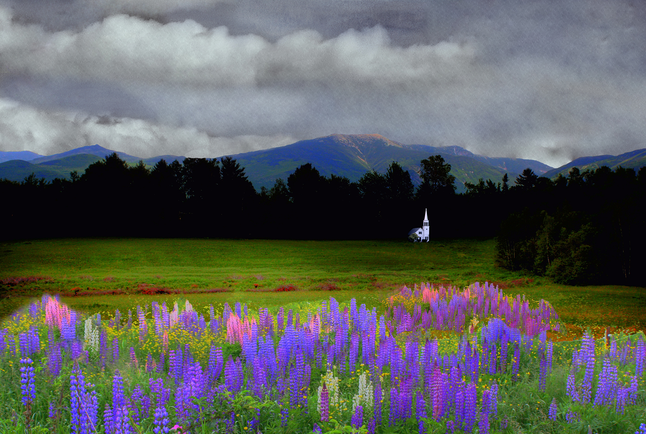 |
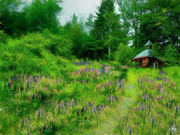
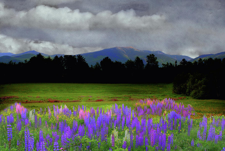
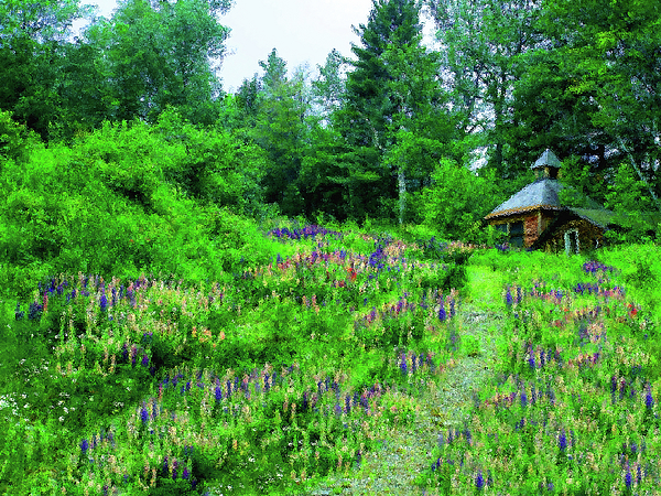
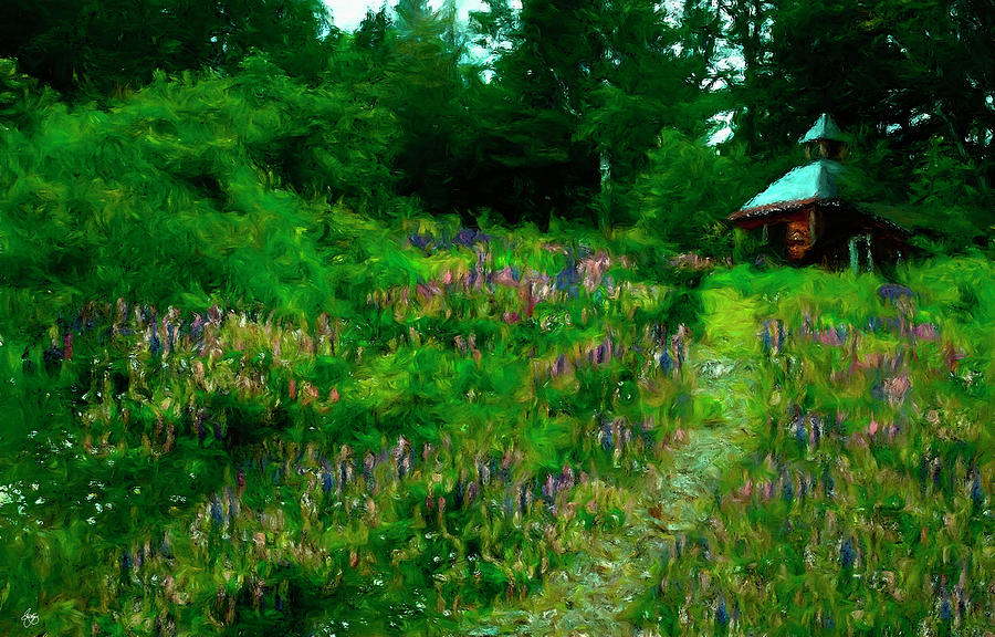
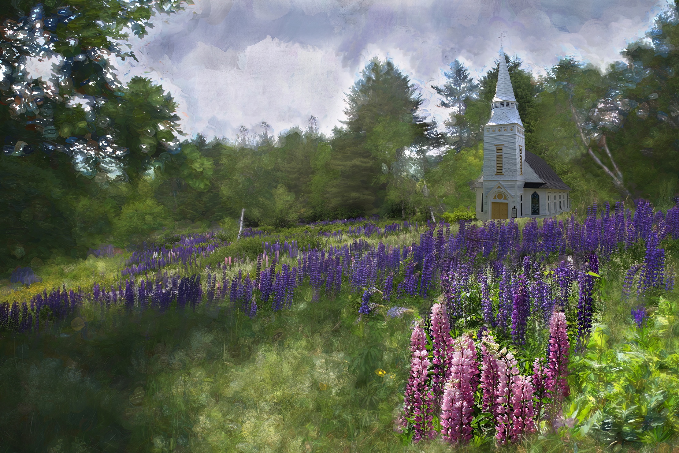
| Chapel in the Lupine Field Signed Originals Unsigned Open Edition Prints |
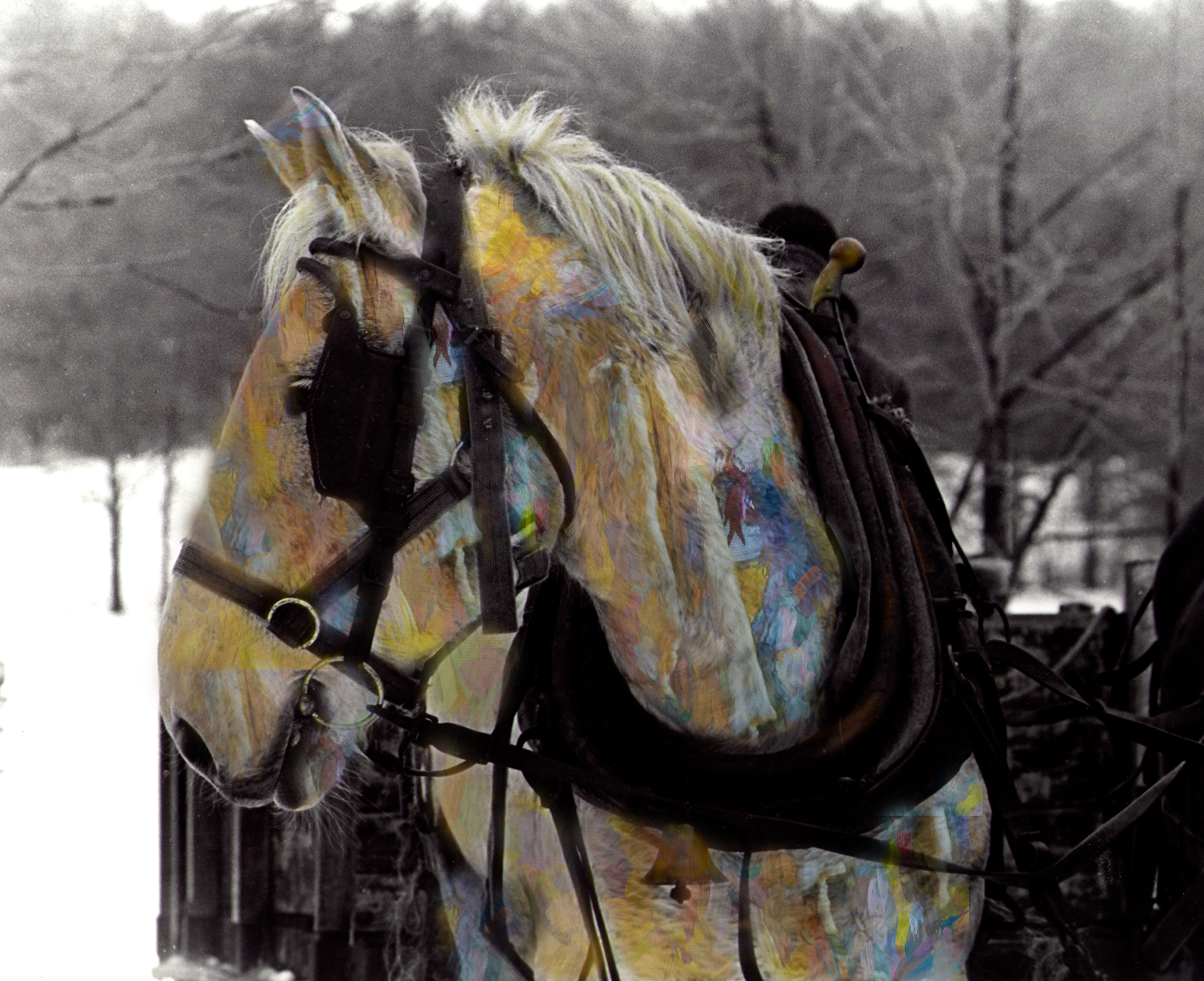 |
| The Spirit of the Drafthorse Signed Originals Open edition print |
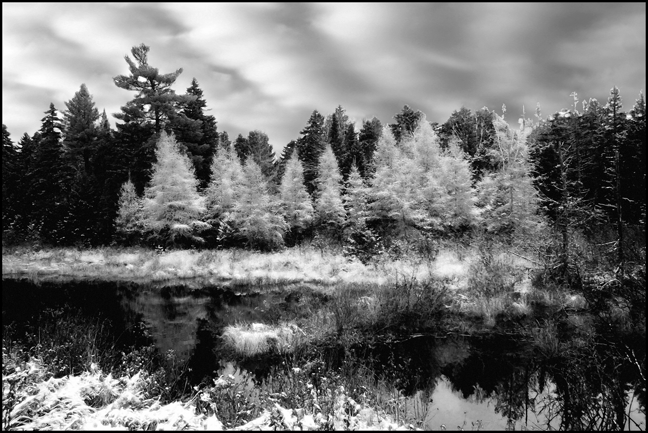 |
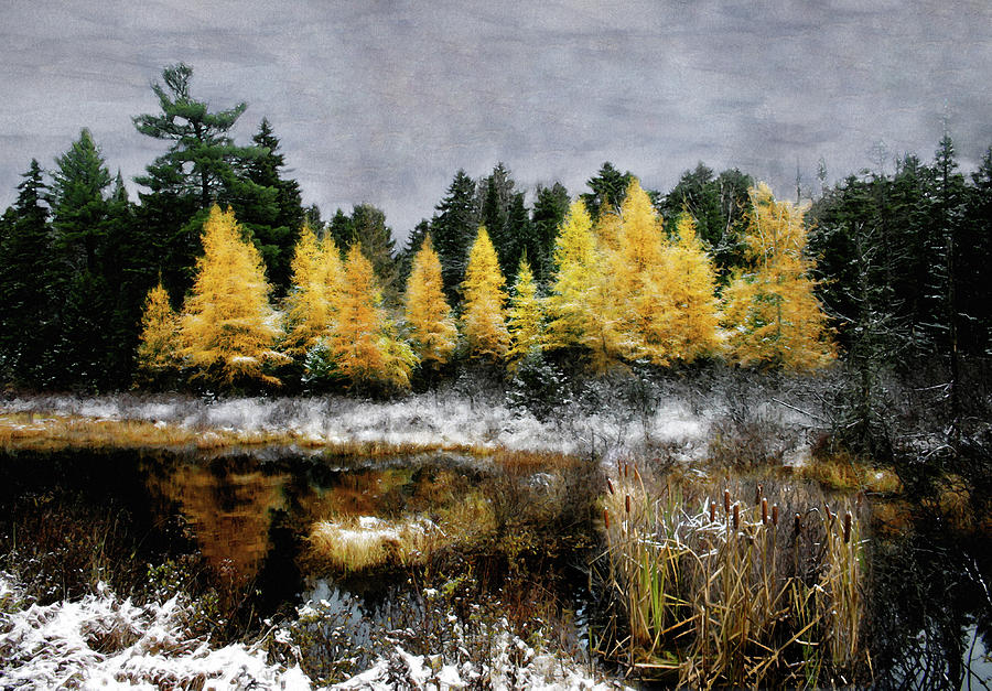
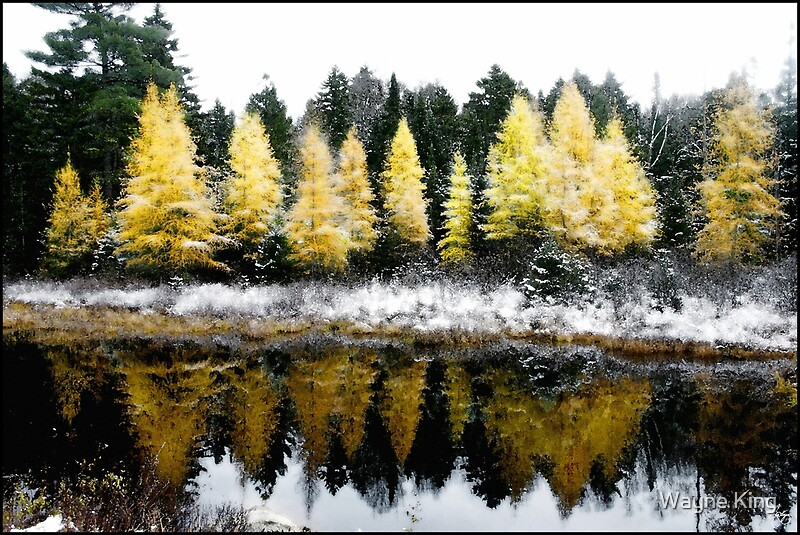
| Tamarack Monochrome Under a Platinum Sky Signed Originals Unsigned Open Edition Prints |
 |
| Home Before the Storm Signed Originals Unsigned Open Edition Prints |
 | ||
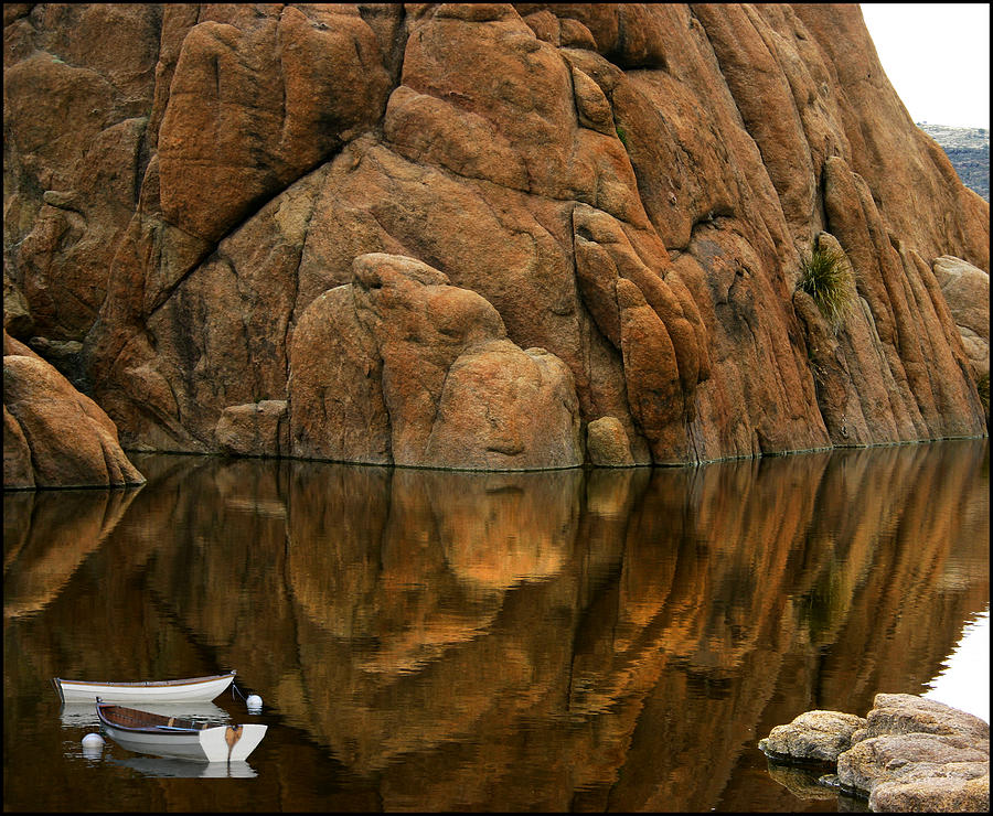
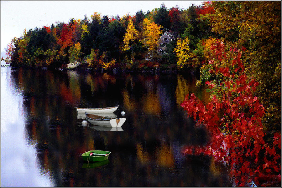
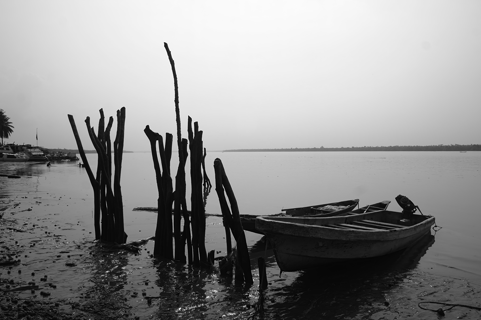
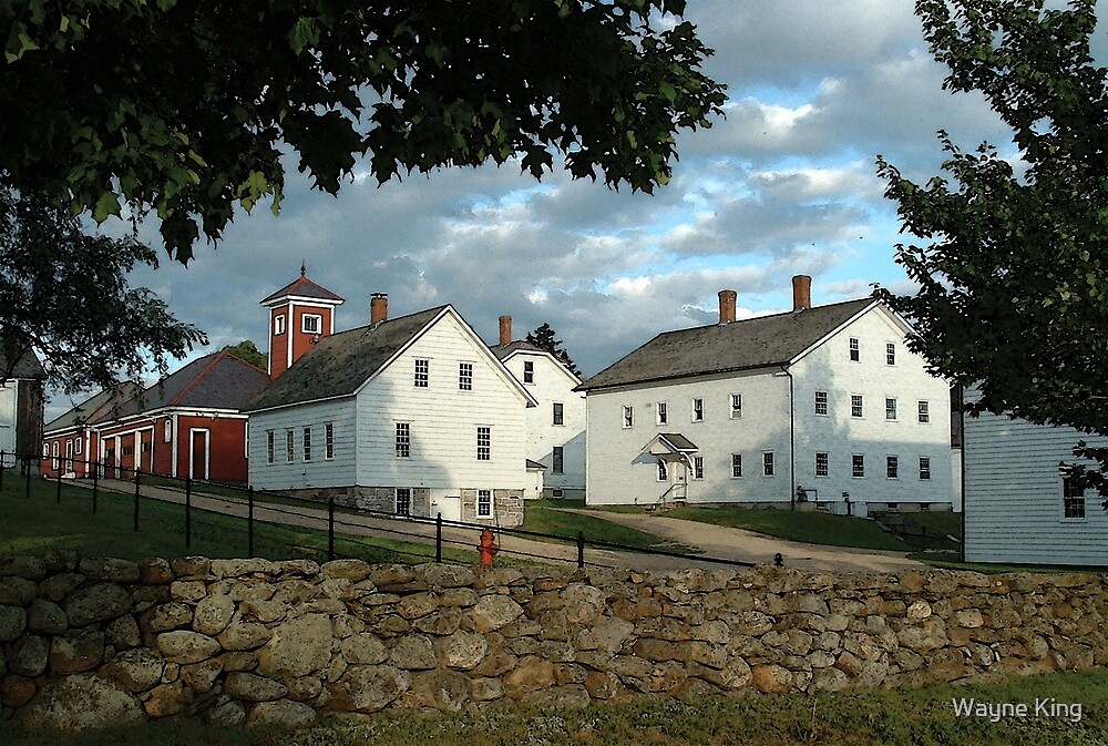
The Red Dorry
|

 | ||
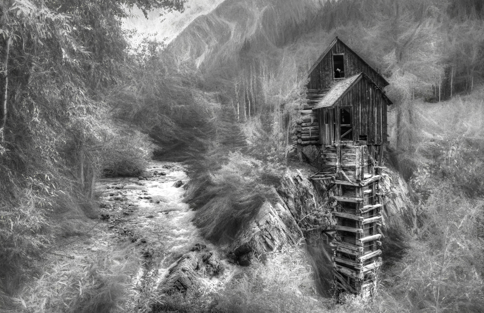
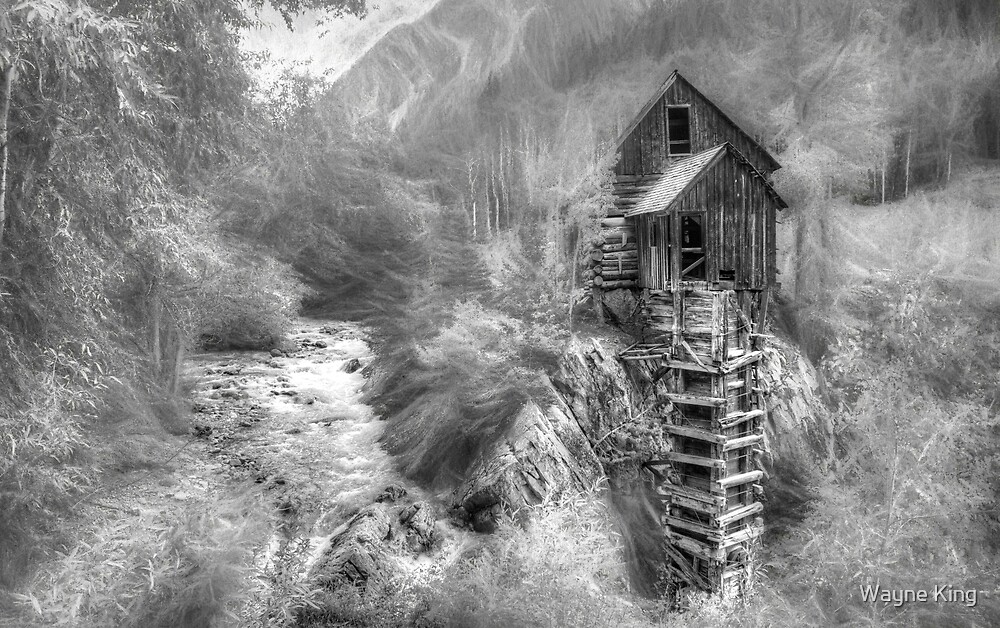
Maple Pallet
|
 |
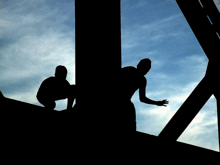
| Trusses and Light Signed Originals. Unsigned Open Edition Prints |
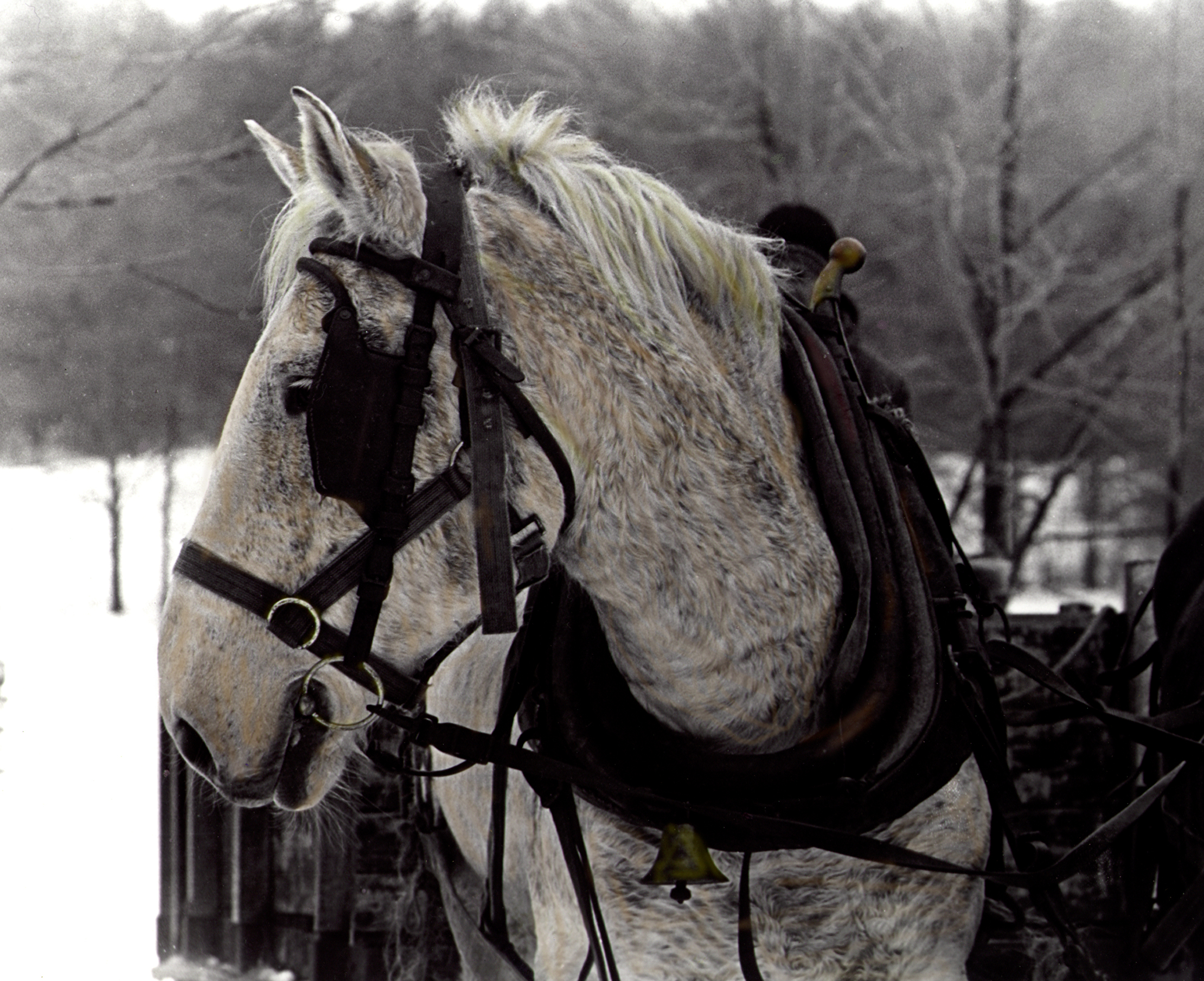 | ||
The Drafthorse
|
|
| Grandfather's Maple Signed Originals. Unsigned Open Edition Prints |
 | ||
Lazy Day
|
 |
| Friendship on Fire |
 |
| Storm Over Cottonwood |
 |
| Painting the Streets of Kayar Signed Originals. Unsigned Open Edition Prints |
 |
| Carpey Deem Signed Originals Unsigned Open edition prints |
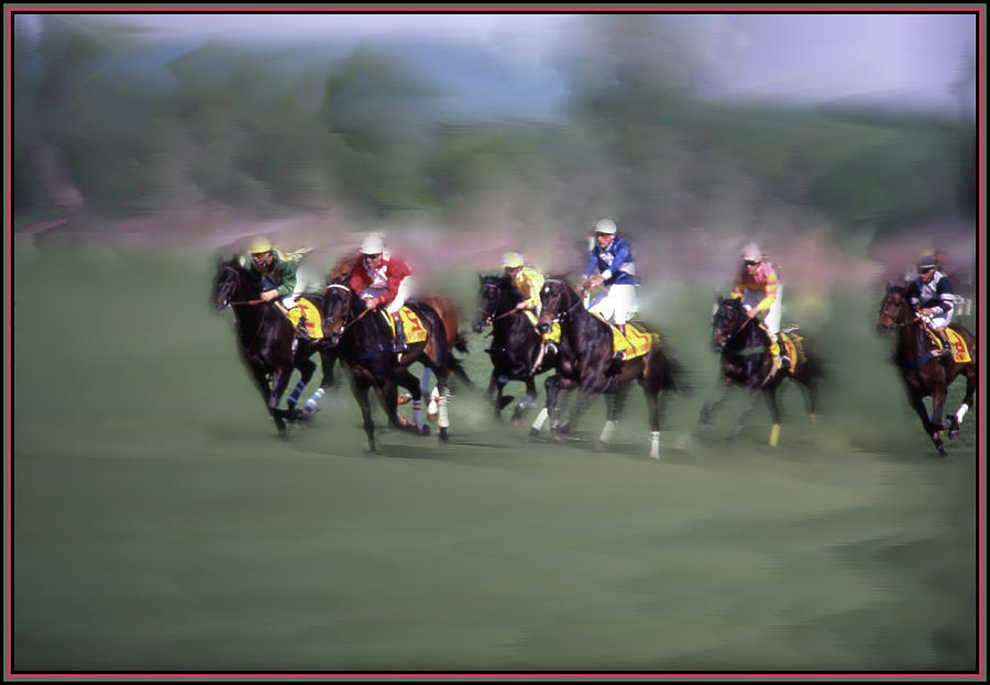 |
| The Steeple Chase Signed Original Unsigned Open Edition Prints |

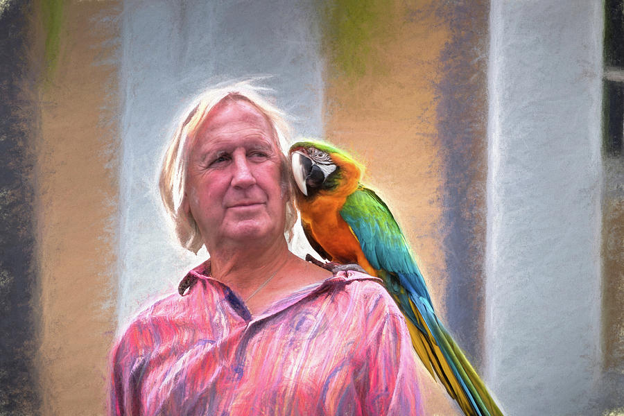 |
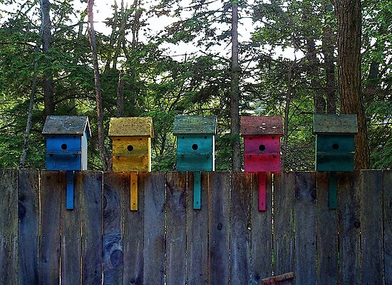
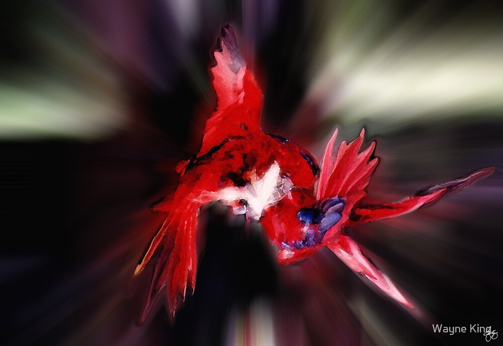
| Colorful Mates |
 |
| Sun Dried Nostalgia Signed Originals. Unsigned Open Edition Prints |
 |
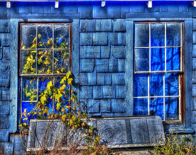
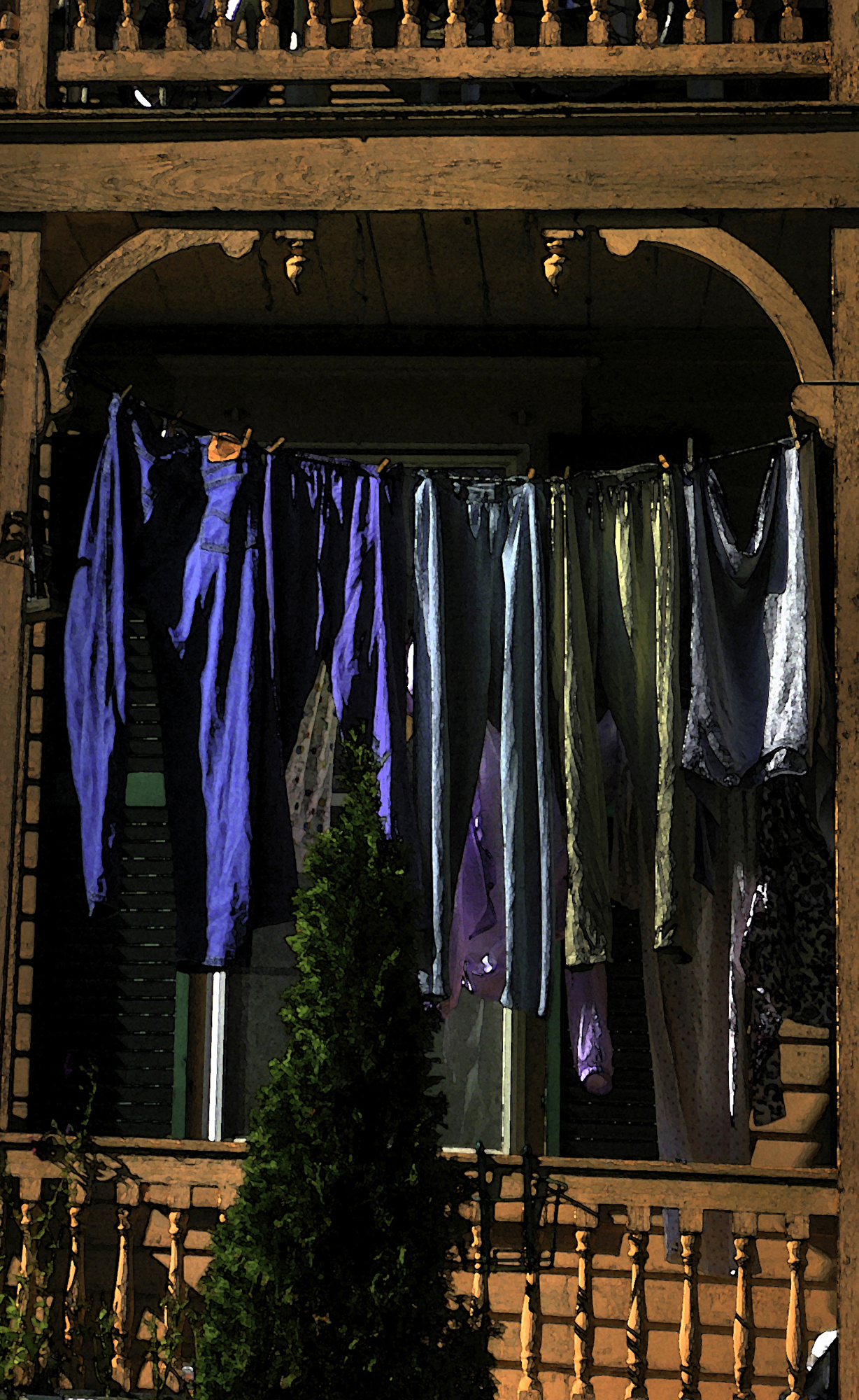
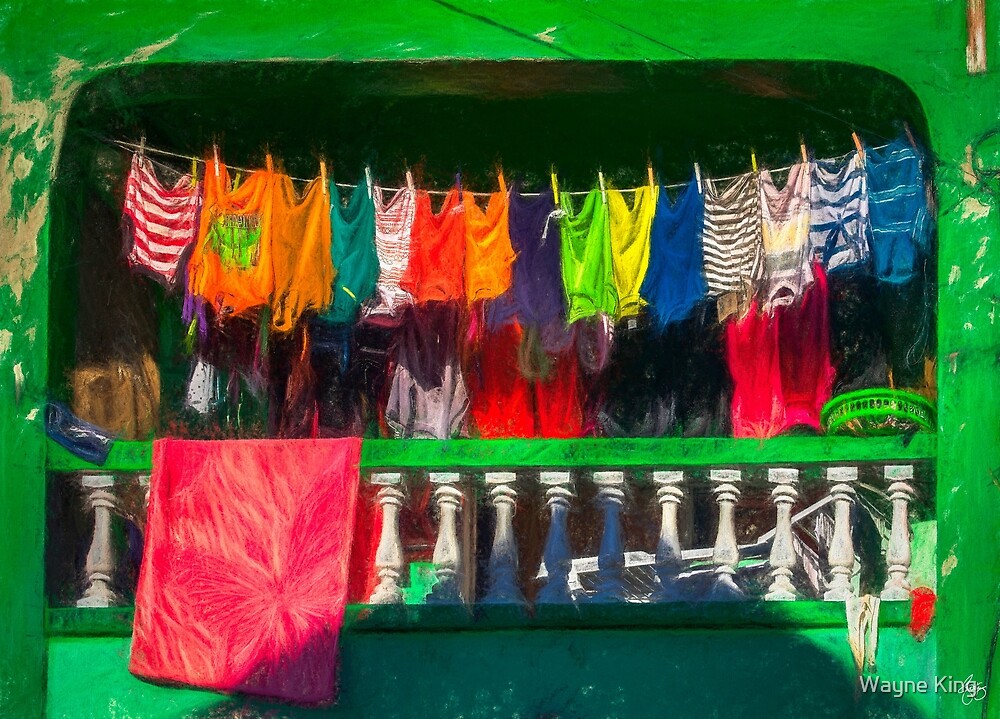
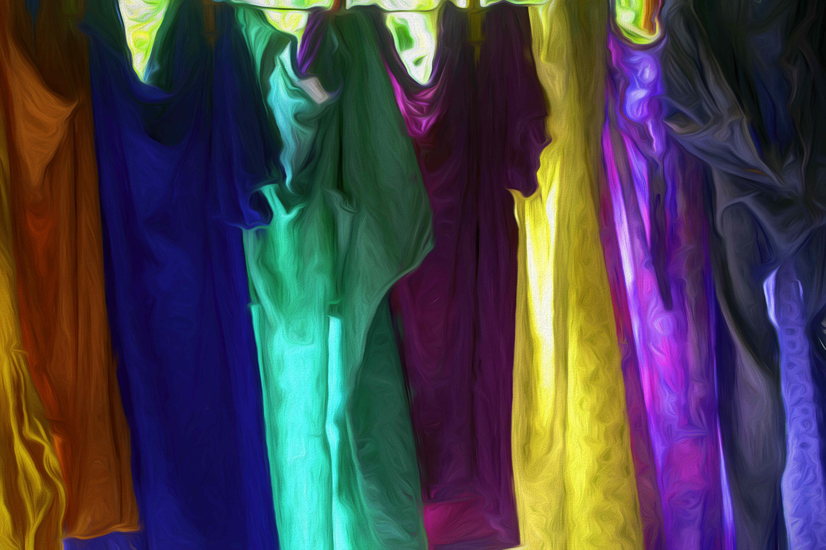
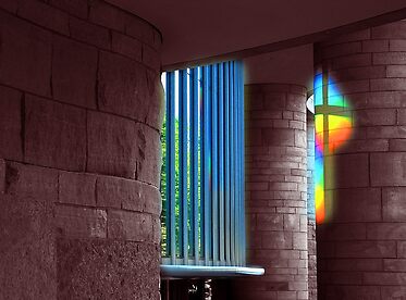
| Window Colors Signed Originals. Open Edition Prints |
 |
| The Wonderous Lightness of Early Spring |
 |
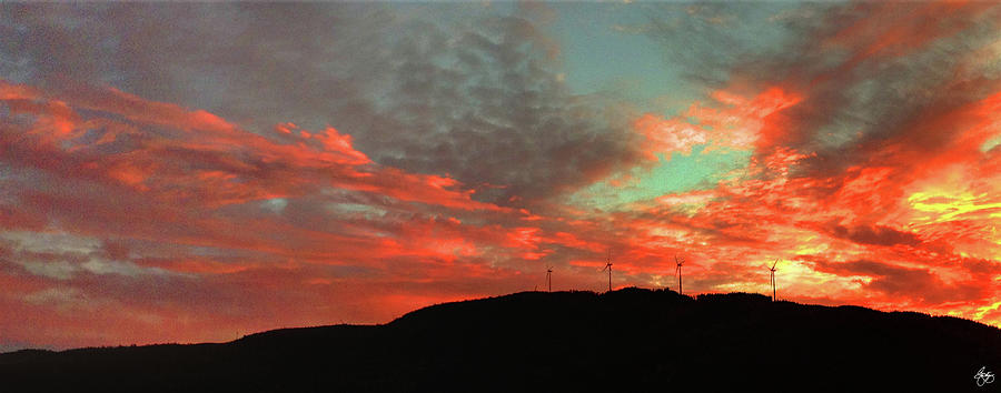
| Sunset Paints Stinson Mountain |
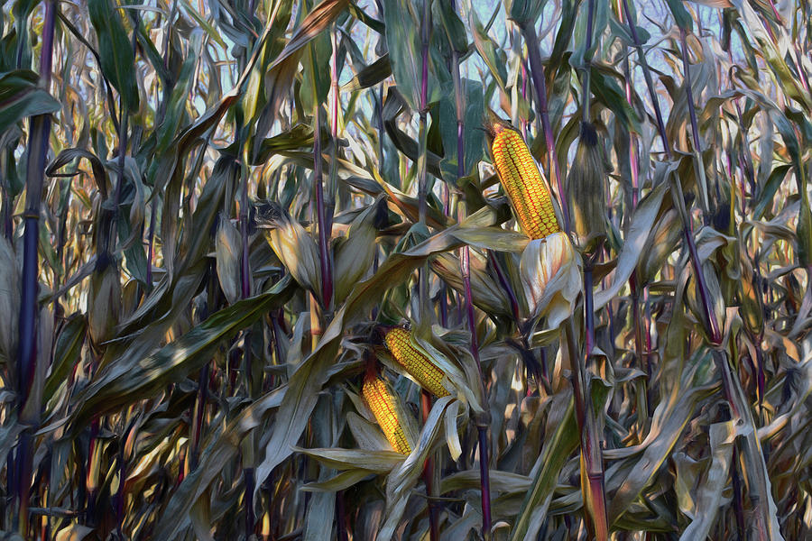 | |||
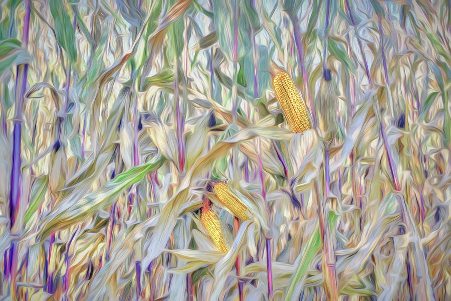
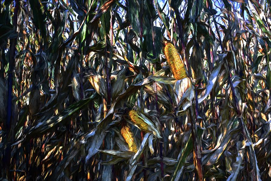
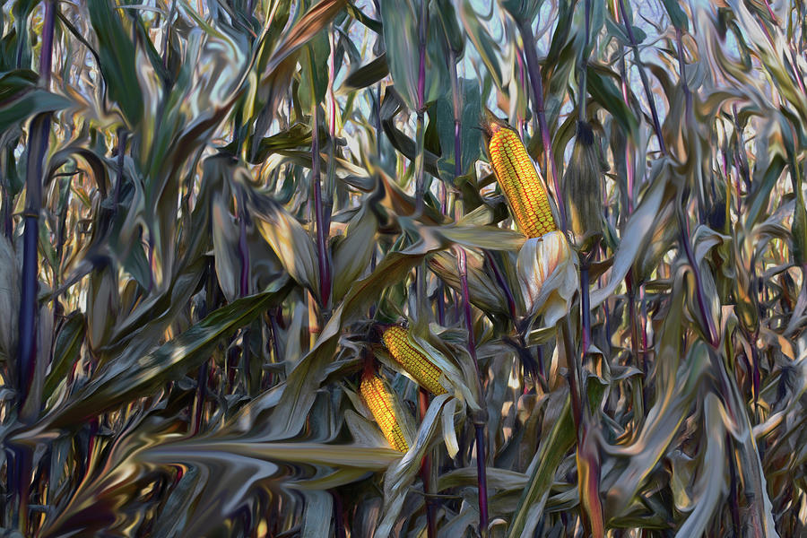
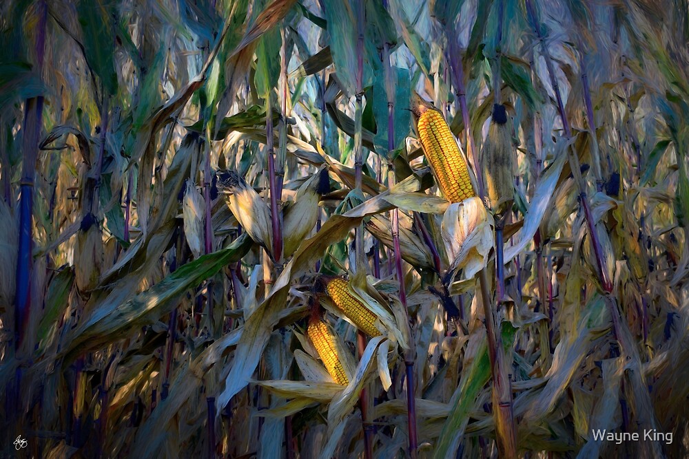
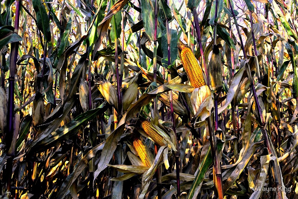
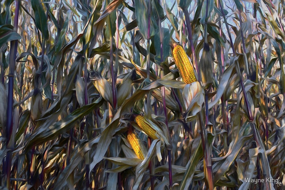
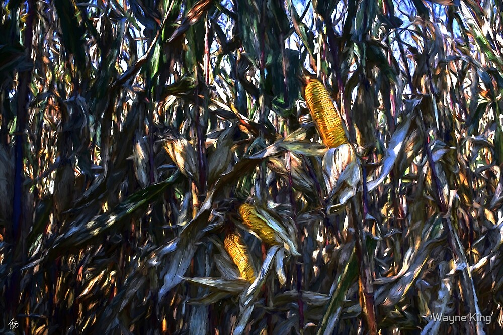
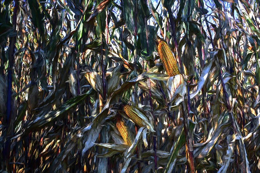
Abandoned Cornfield
|
 | ||||||||||||
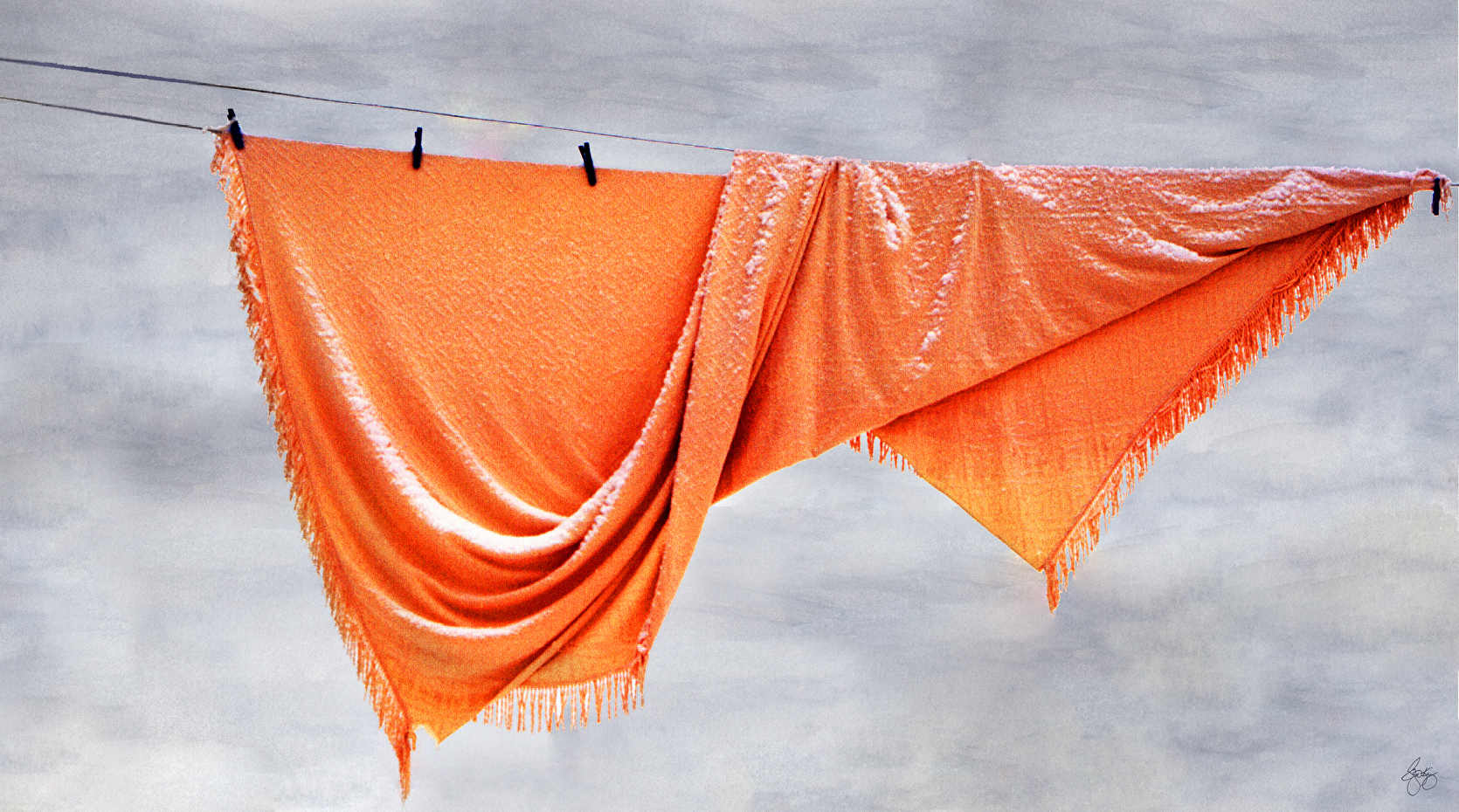
Orange Turtlenecks
|


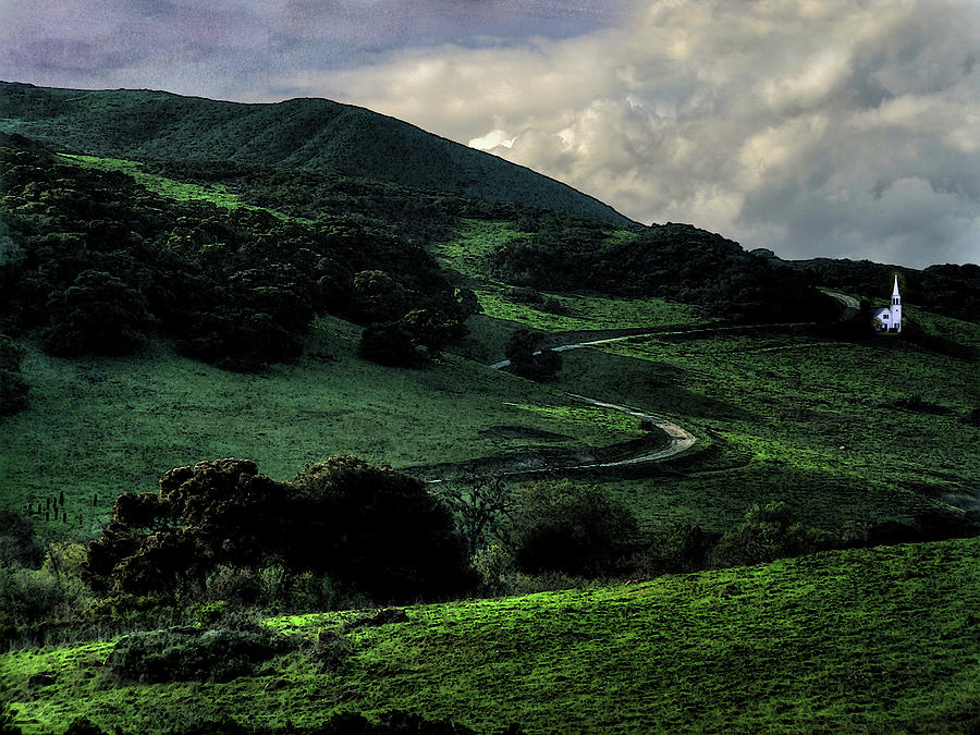 | ||
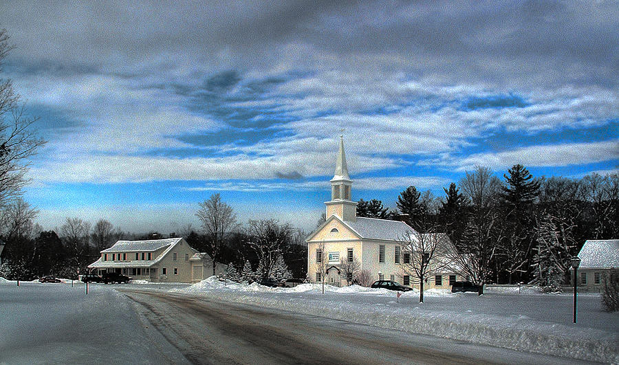
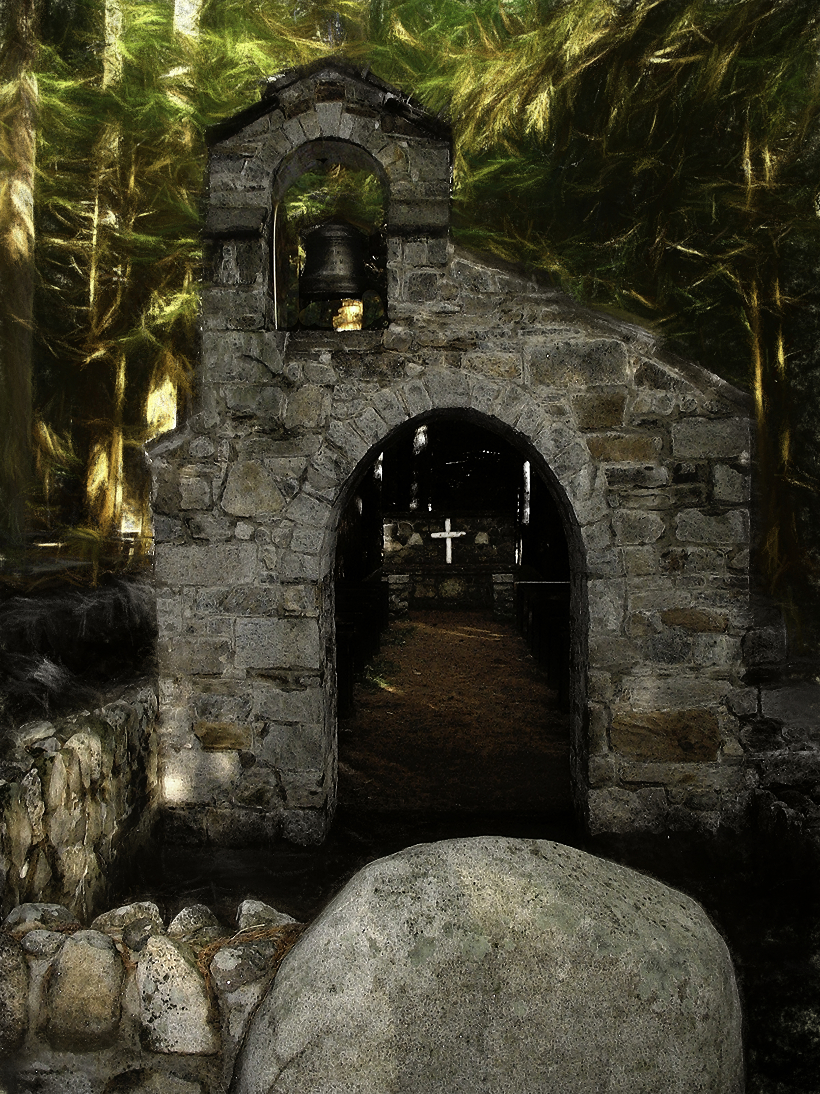
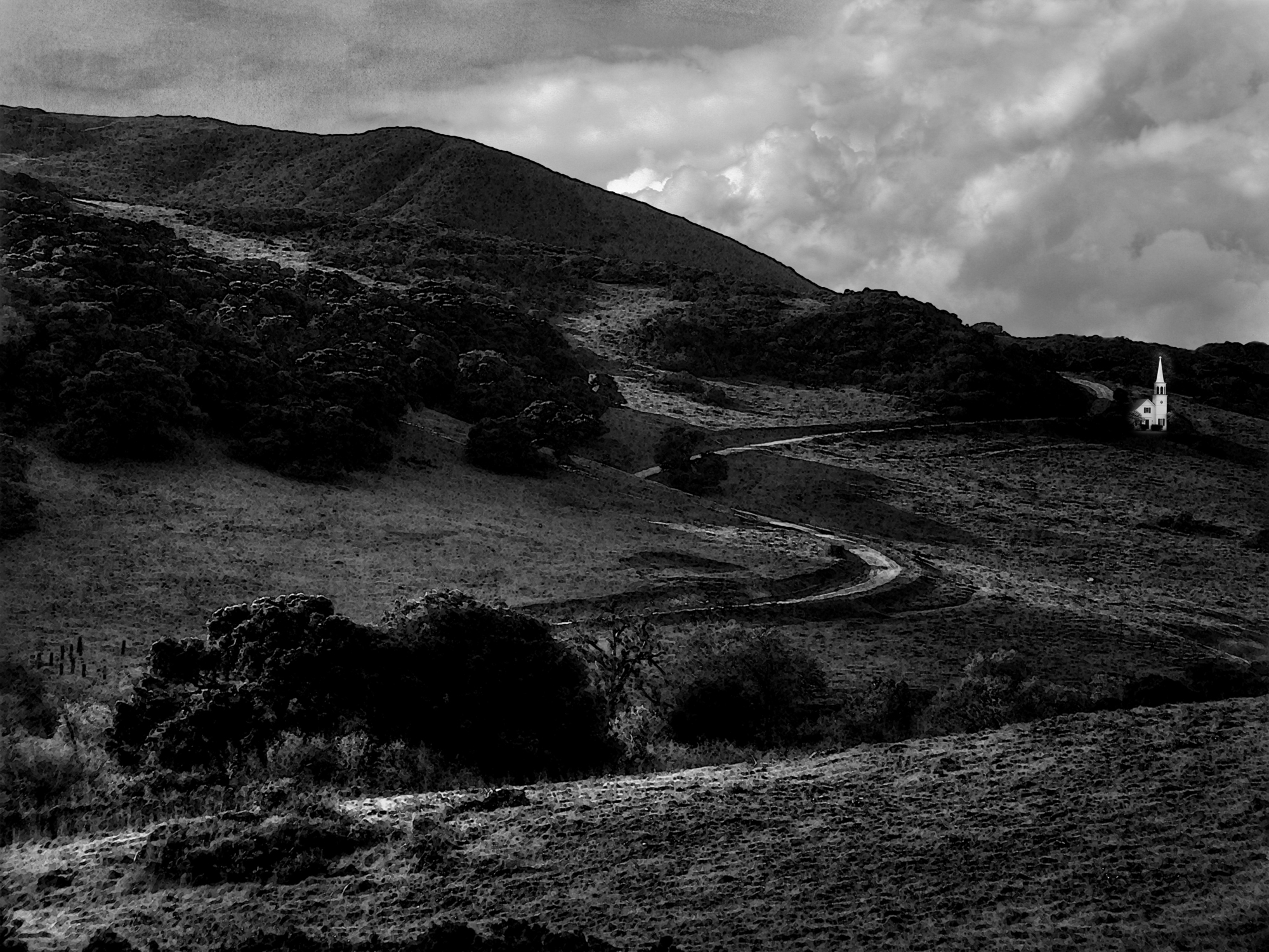
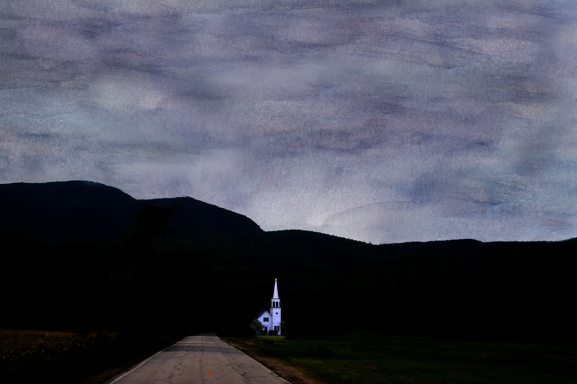
Chapel on a Road to the Sun - Color
|
 |
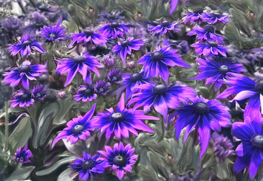
| Lafayette Lupine Mindscape |
 | ||||||||
| Seasons Change Signed Originals. Unsigned Open Edition Prints
|

 |
| Poplar Fall Monochrome Signed Originals. Unsigned Open Edition Prints |

 |
| Elephant Tripping |
 |
| Solitude |
 | ||
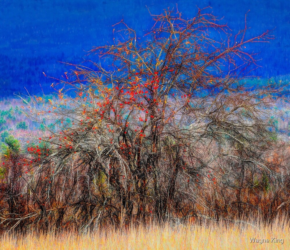
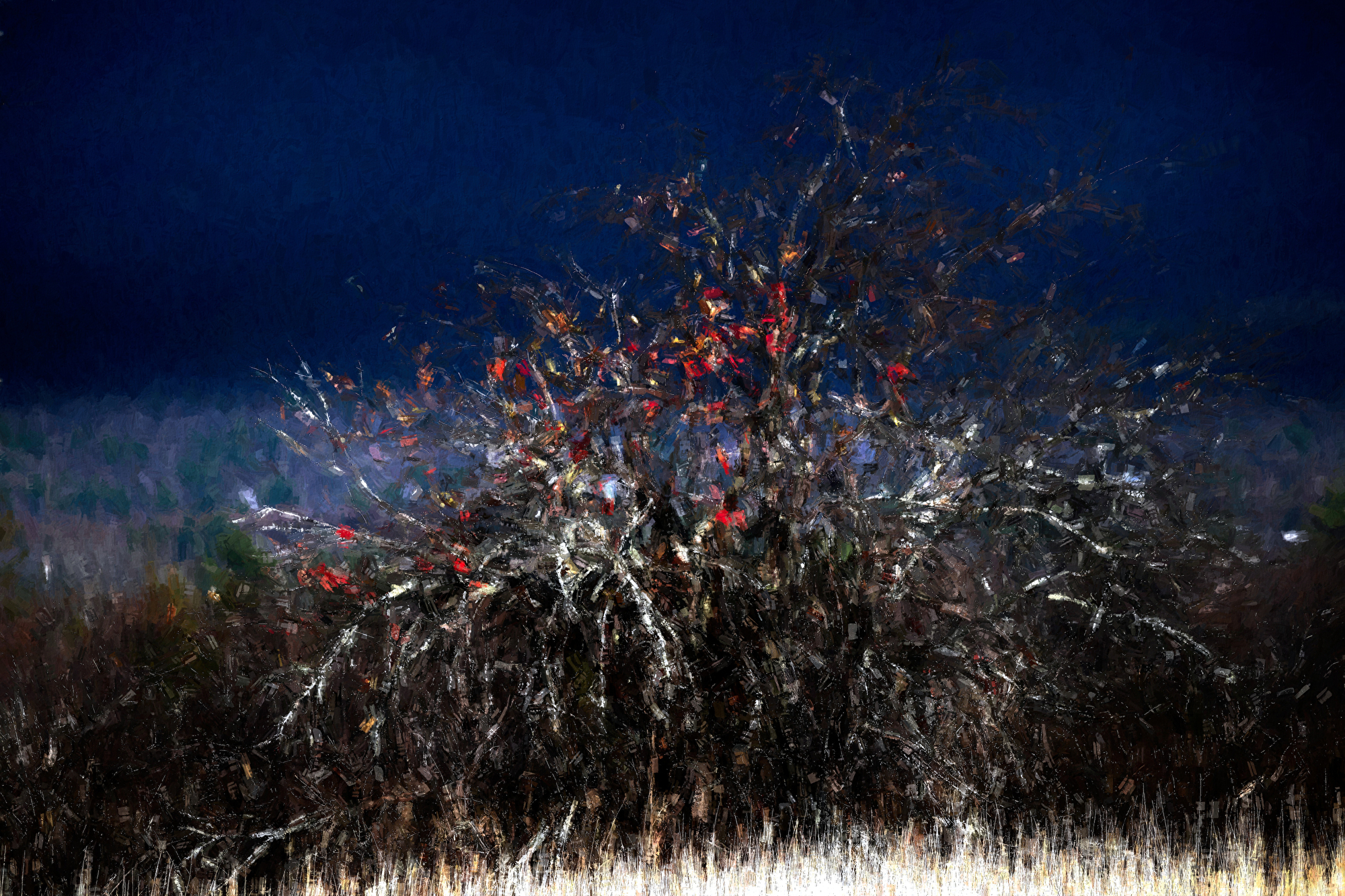
Apples in a Hedgerow 2
|

 |
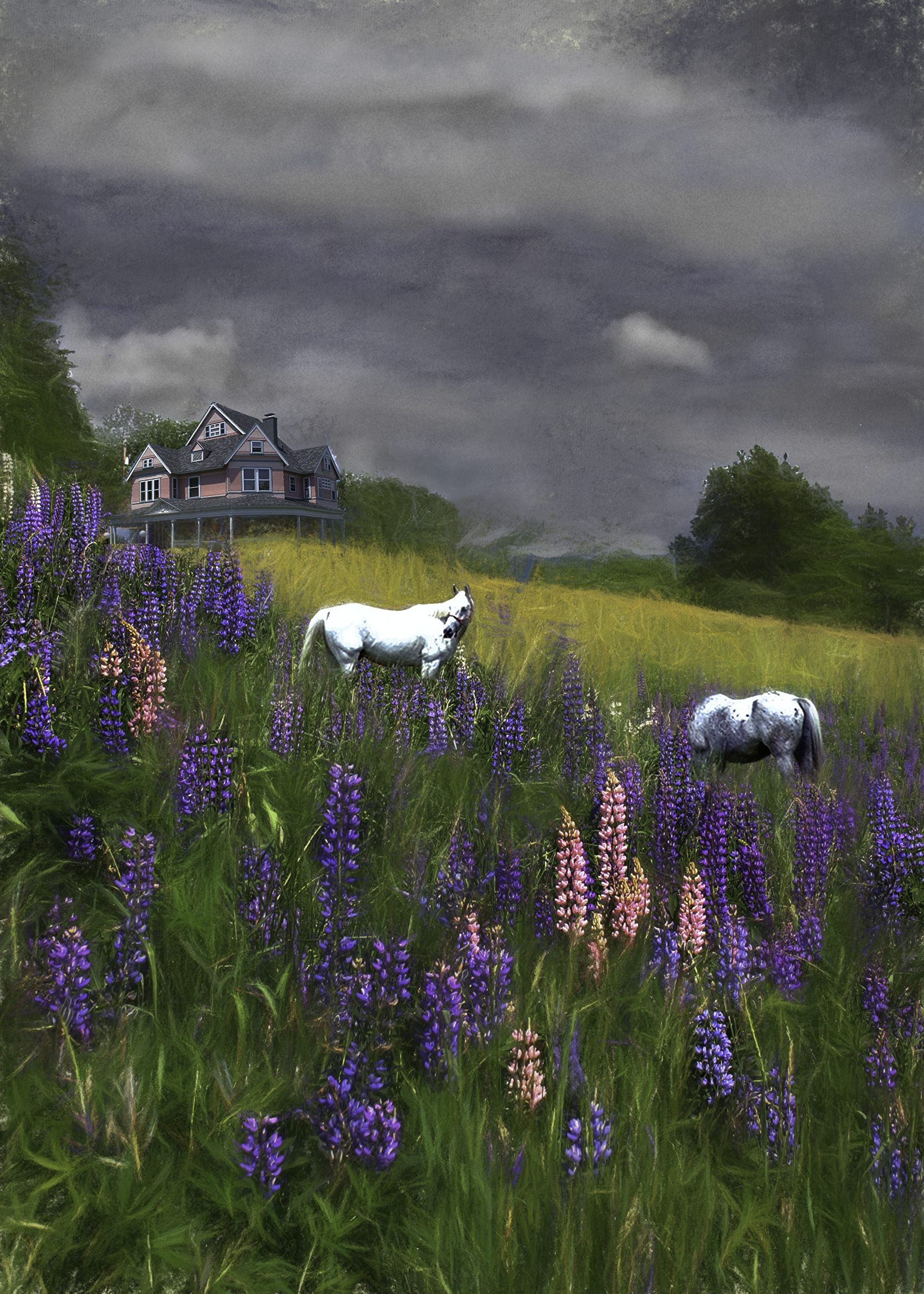
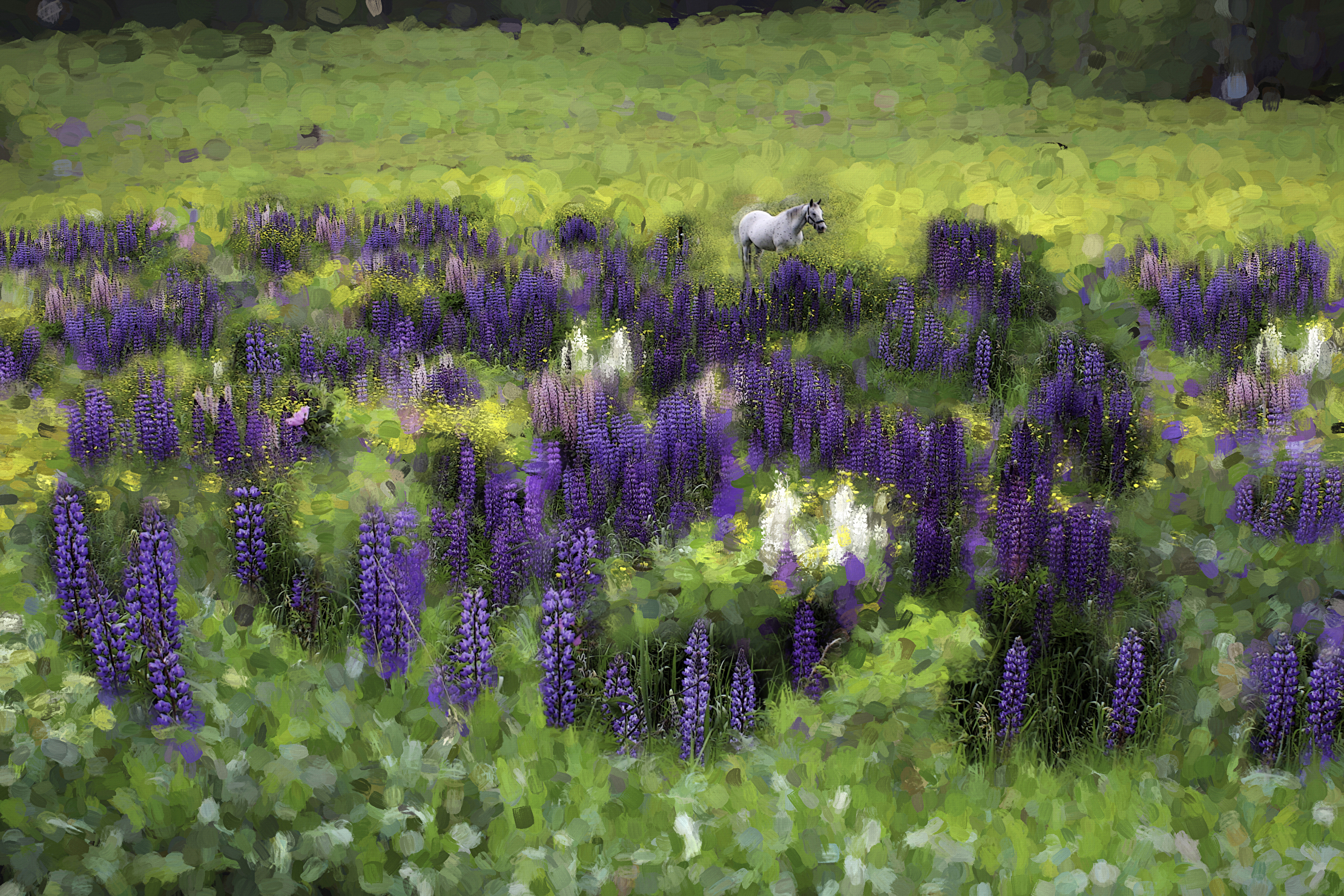
| Spirit Pony in a High Country Lupine Field |
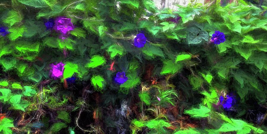 |
| Morning Glory |
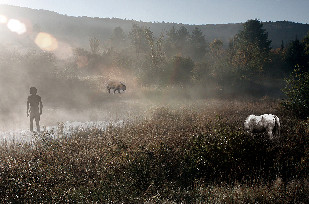
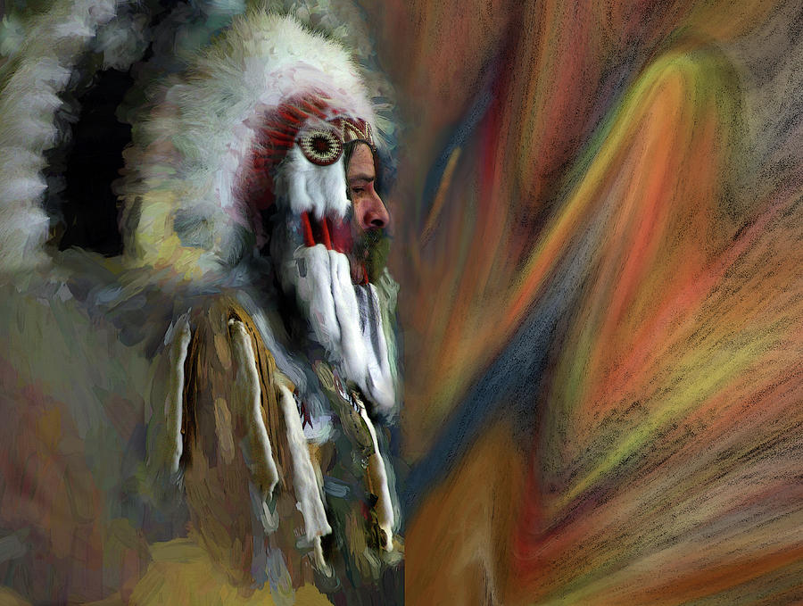
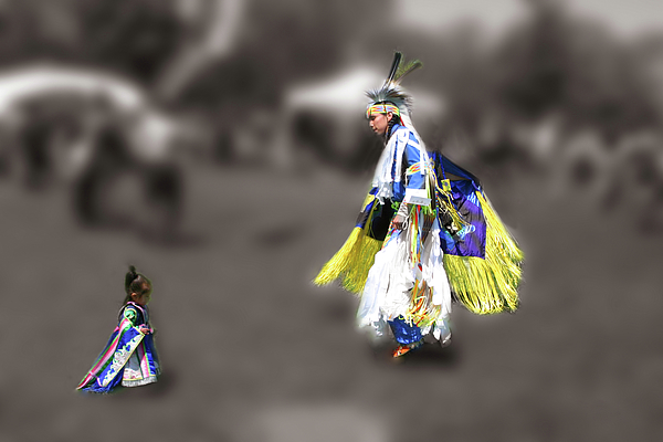
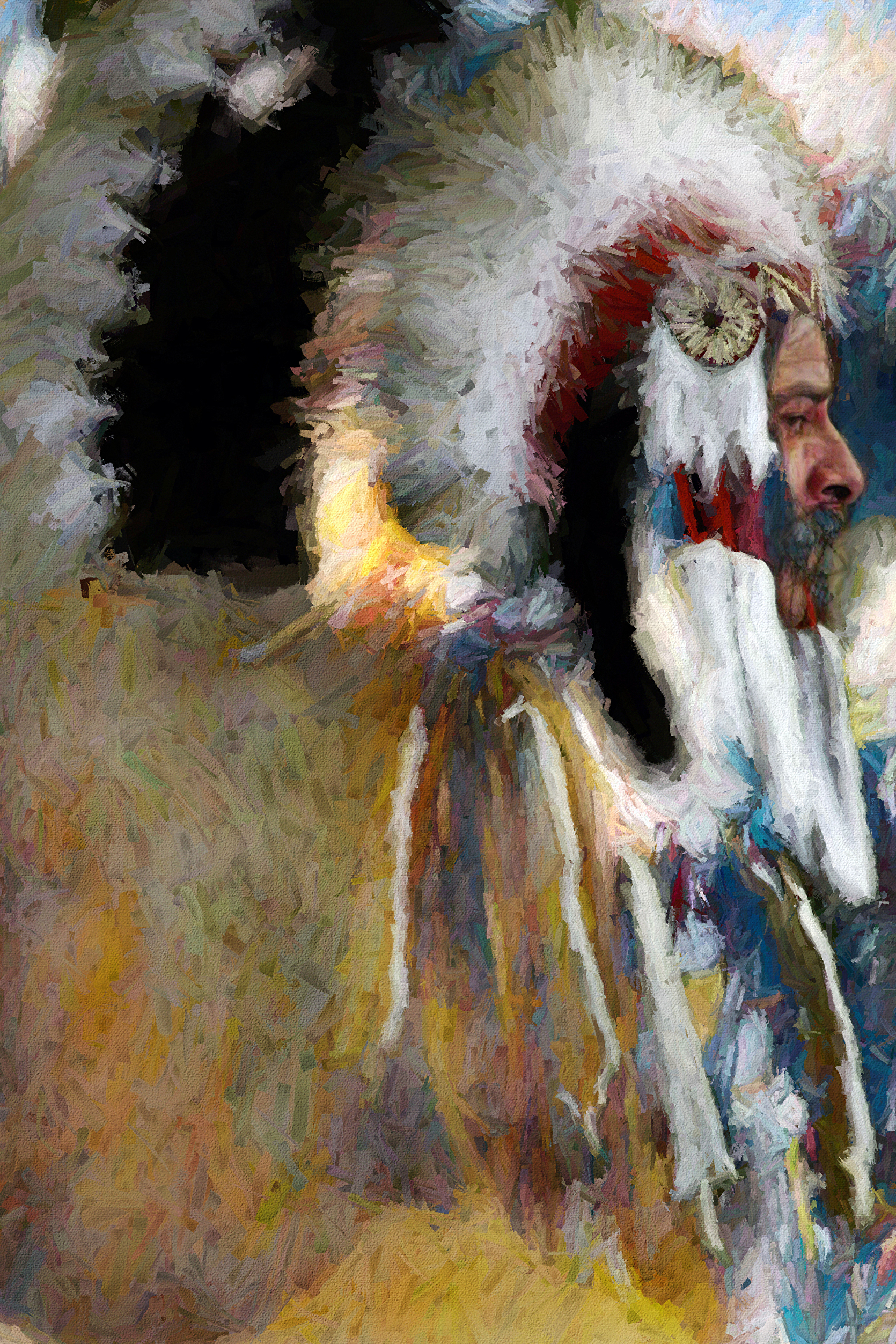
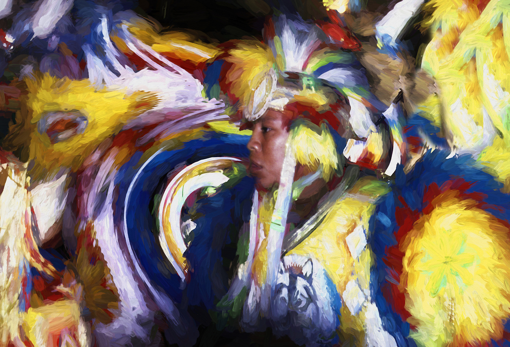
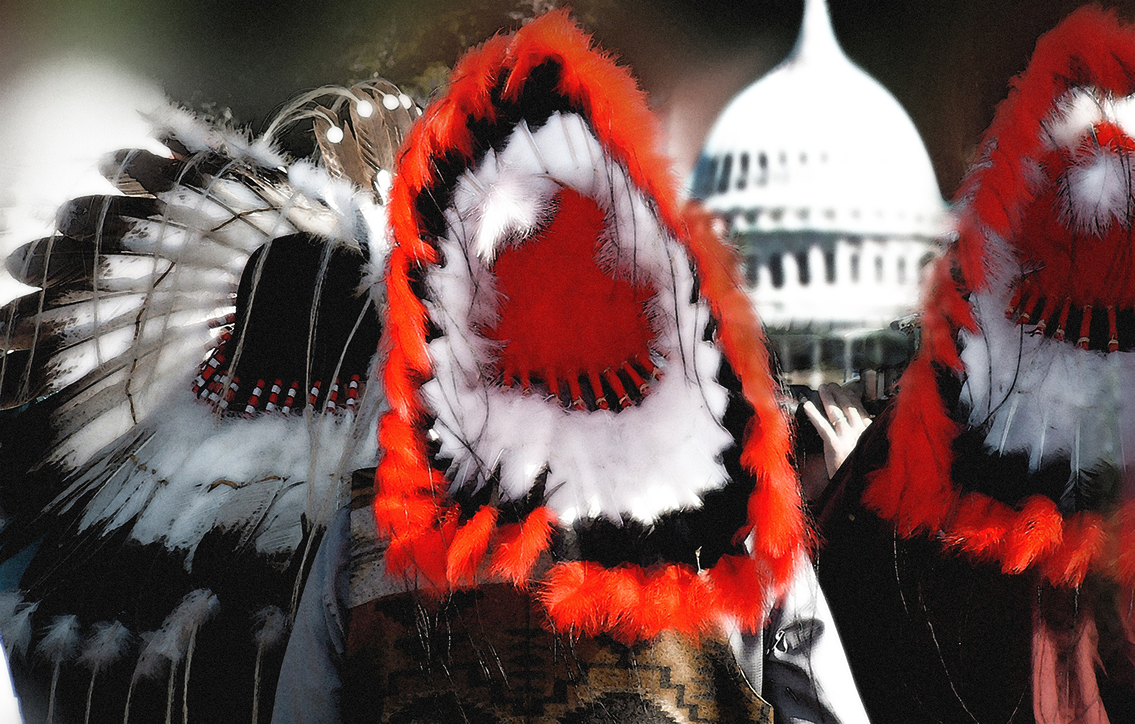
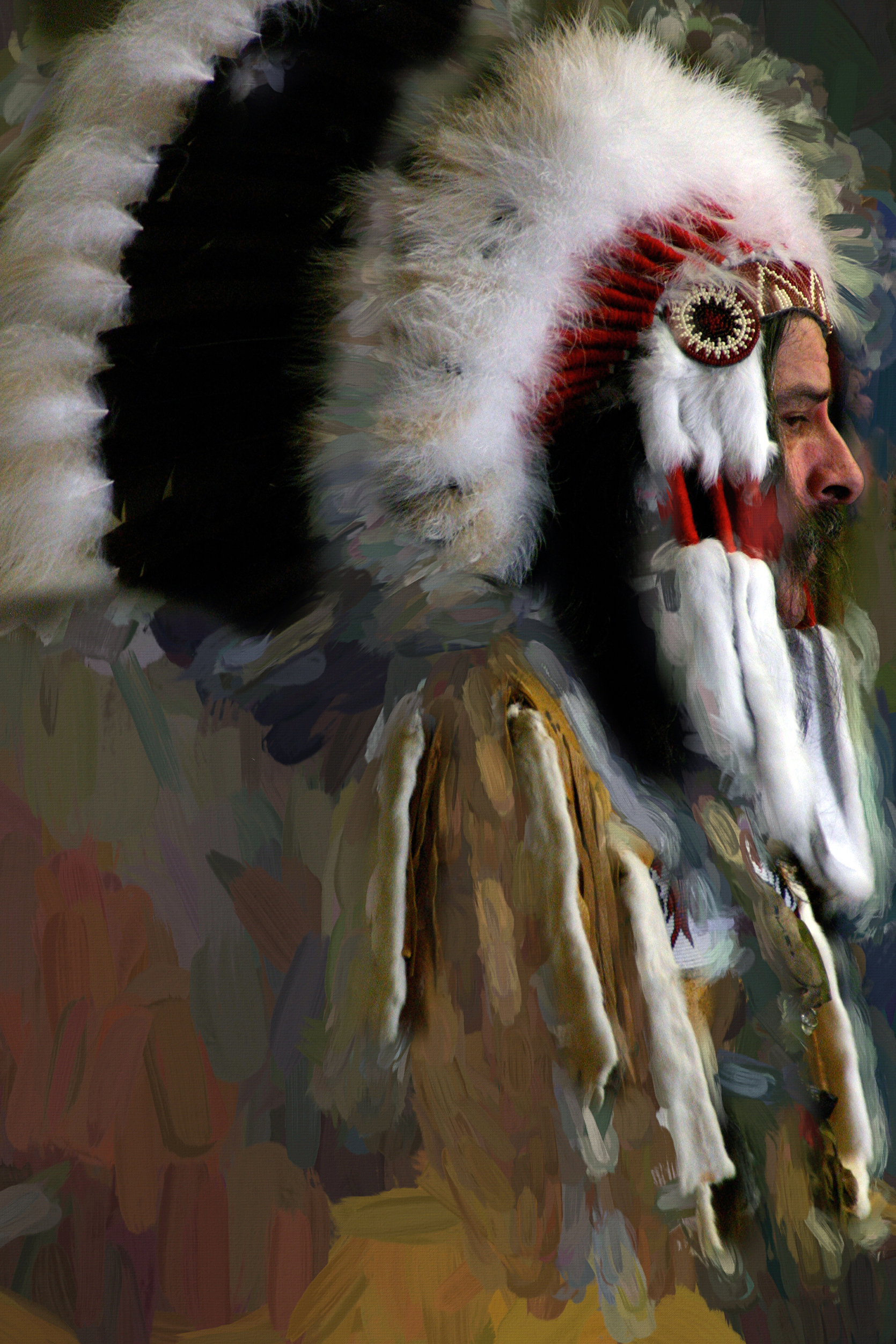
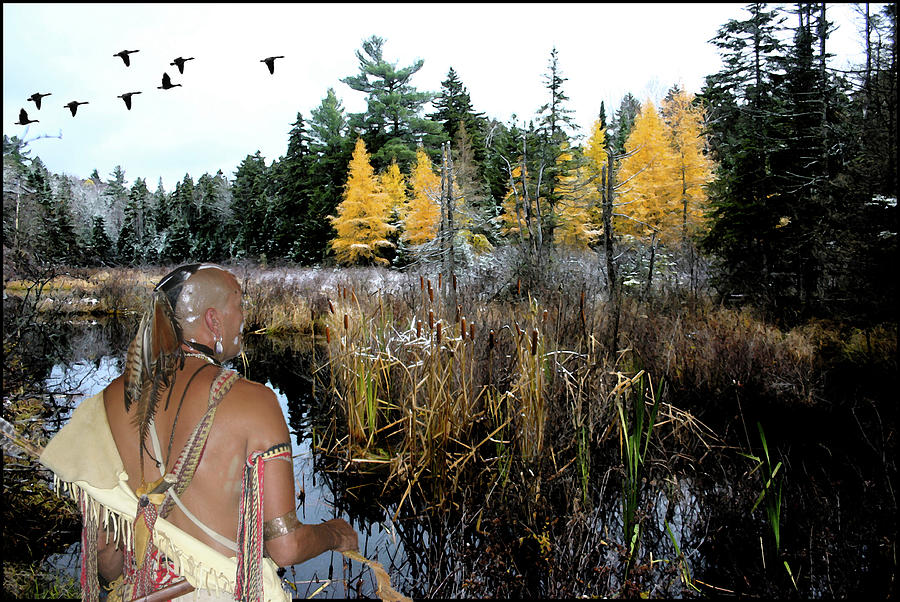
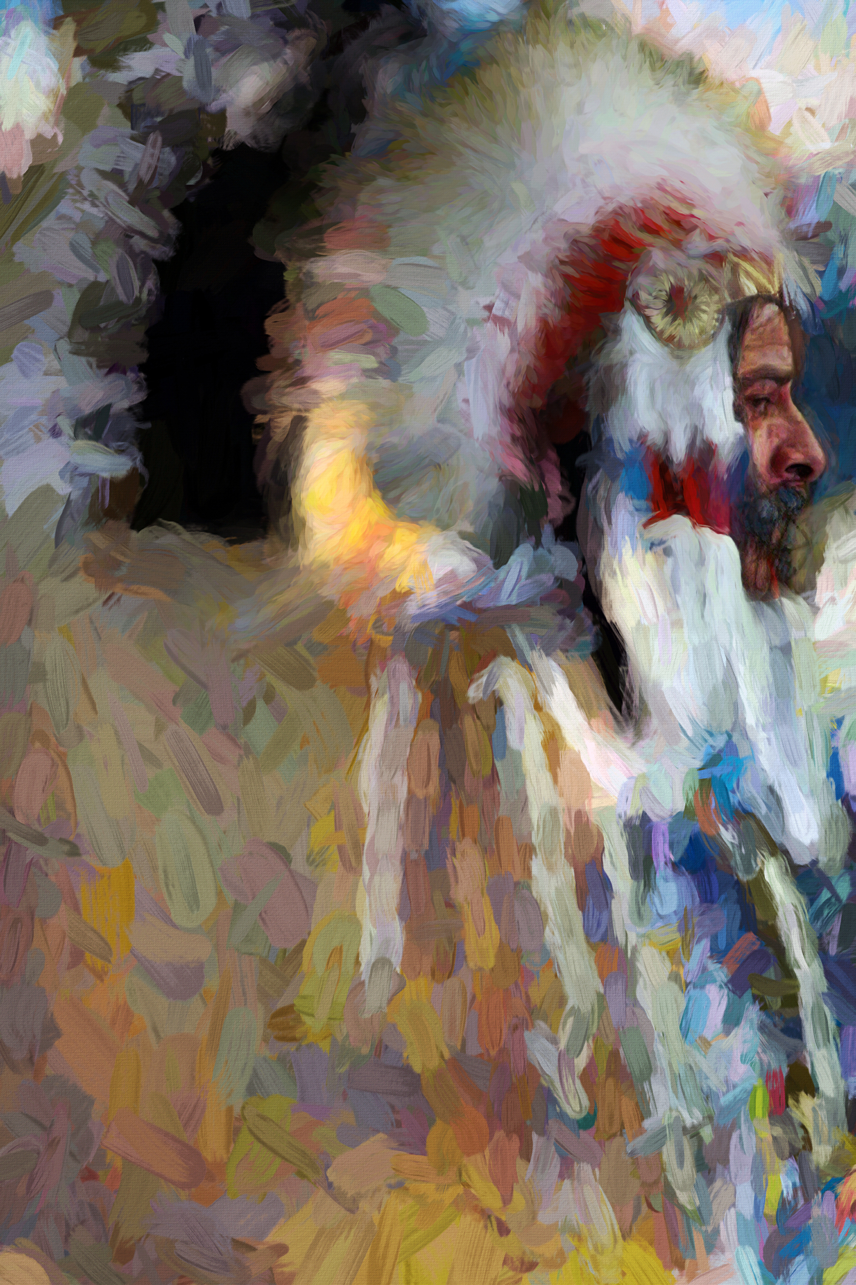
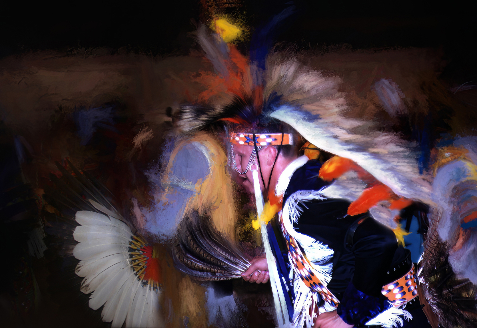
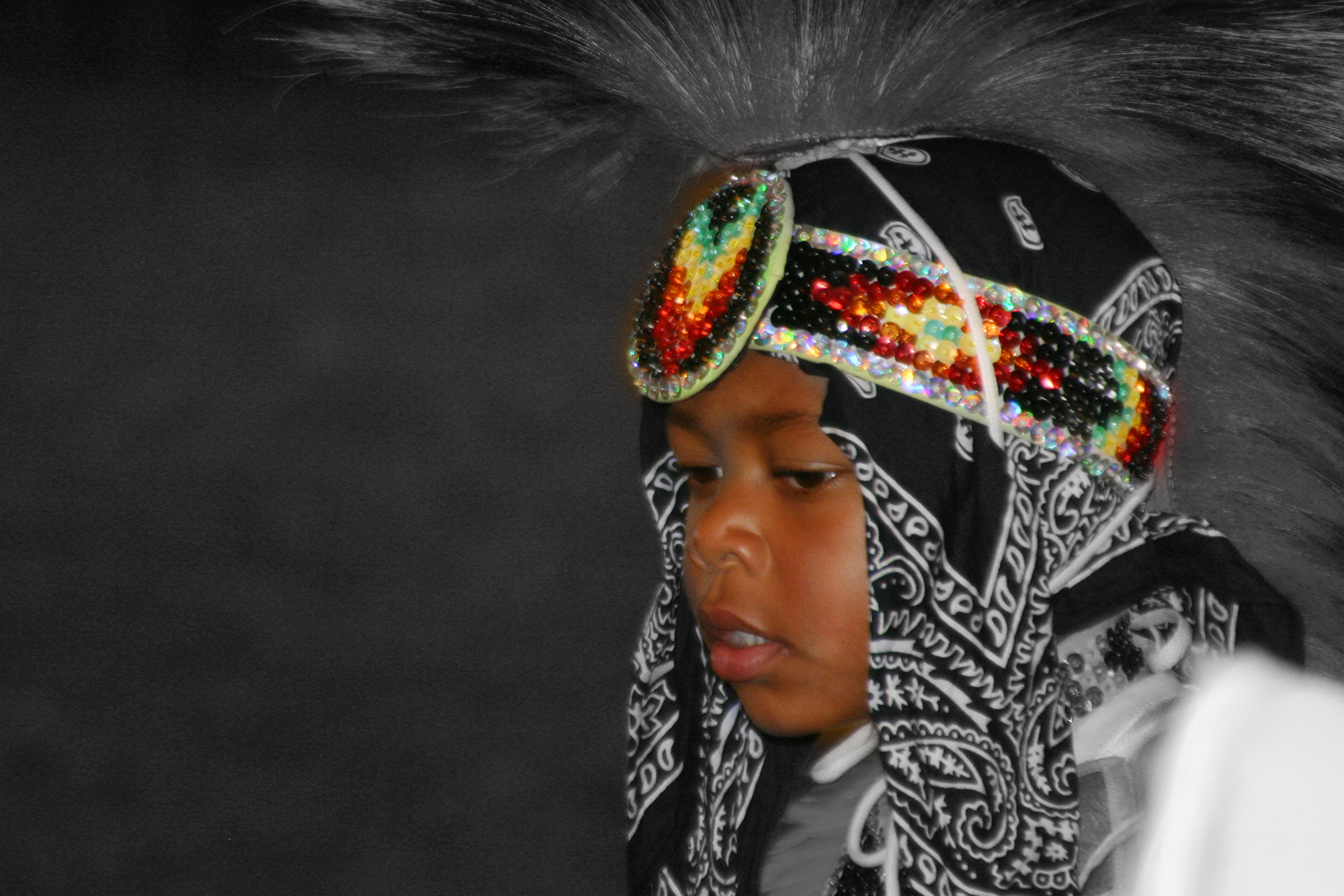
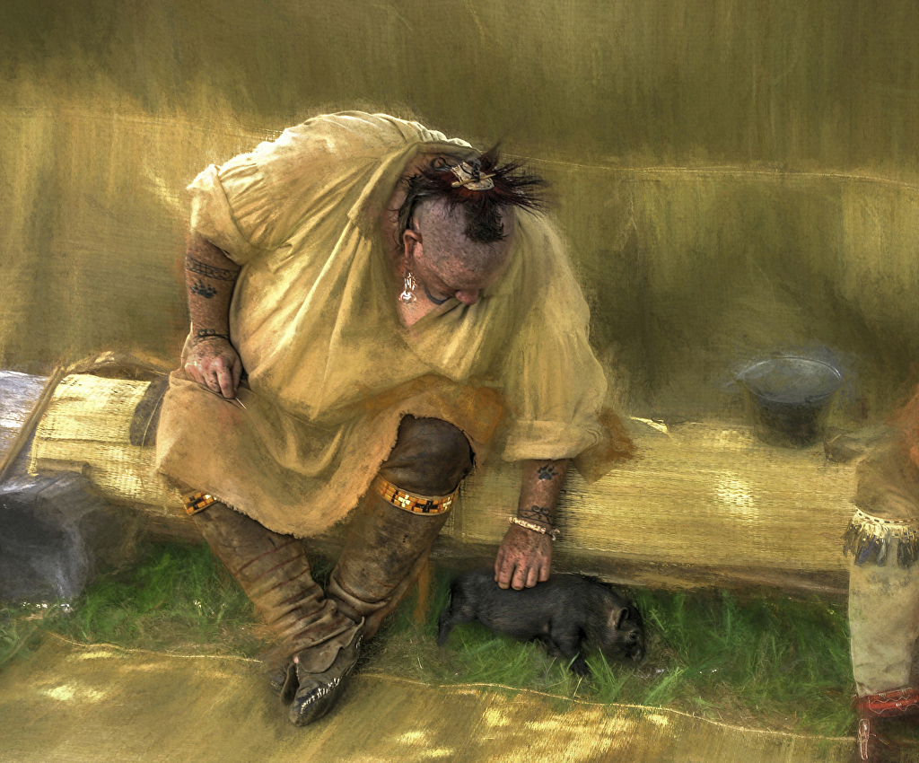
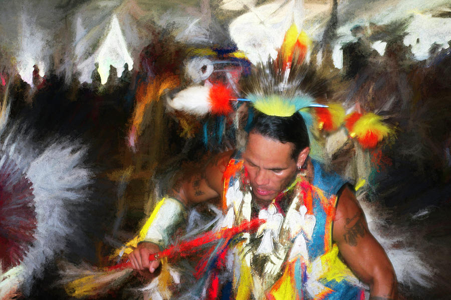
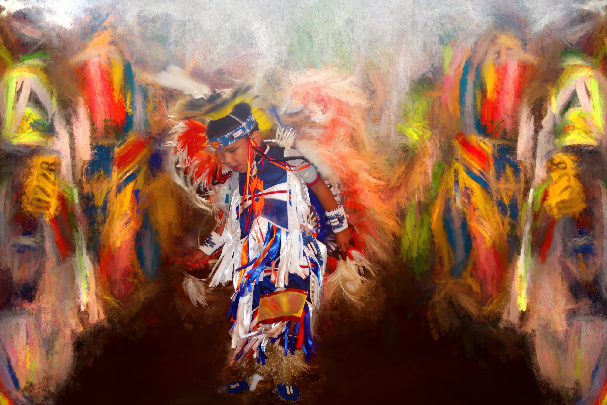
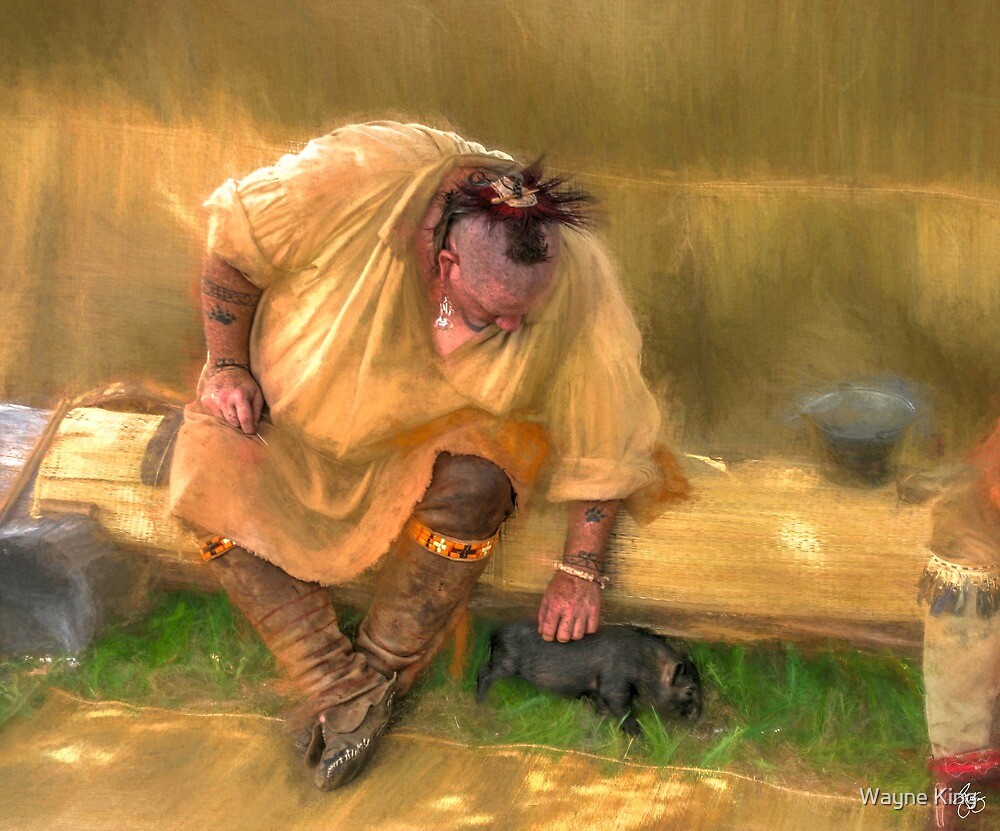
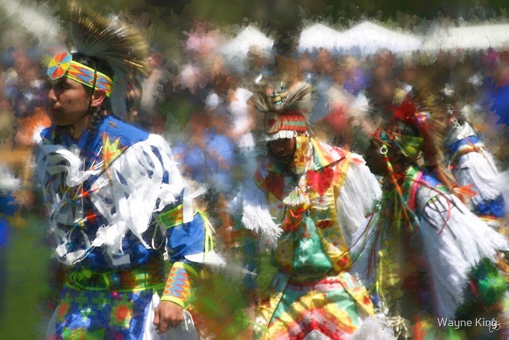
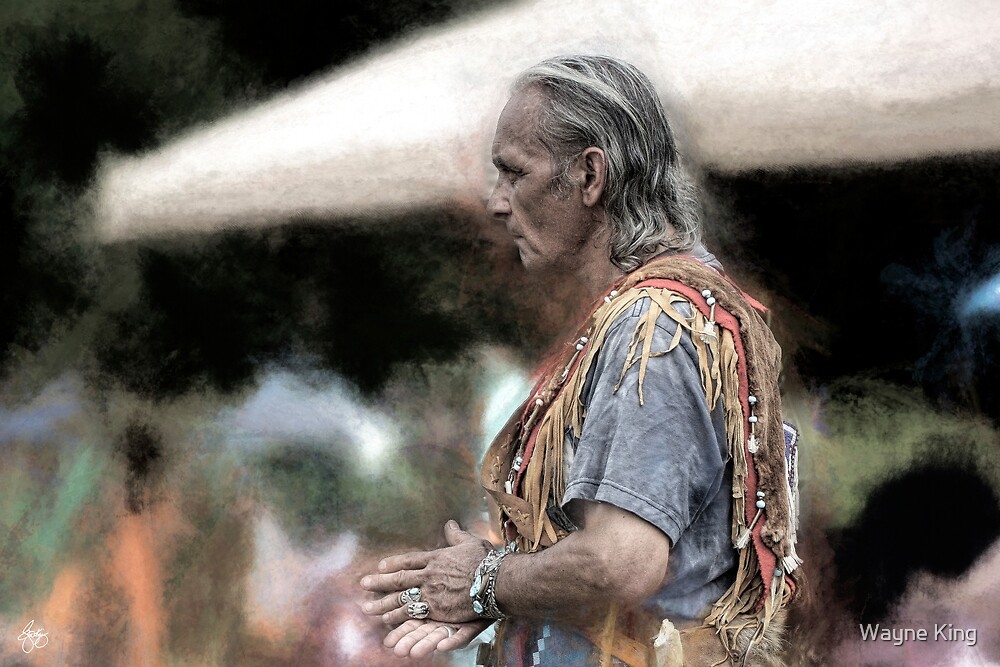
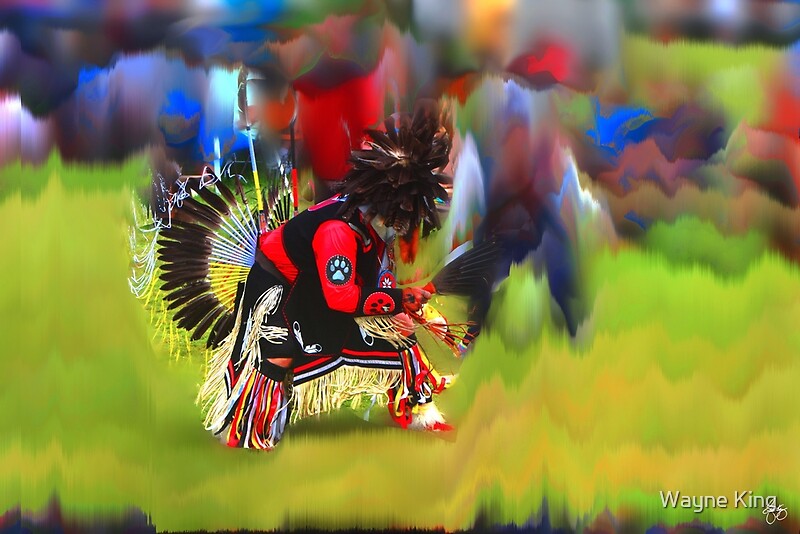
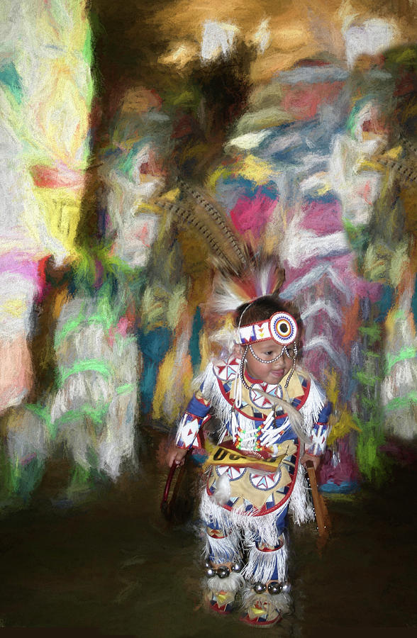
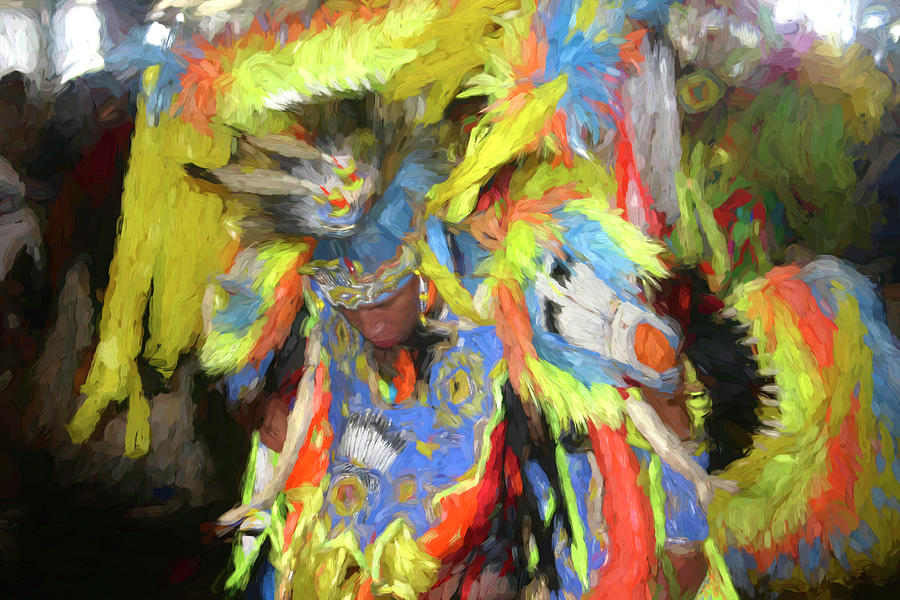
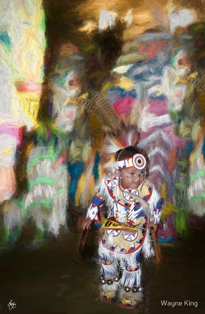
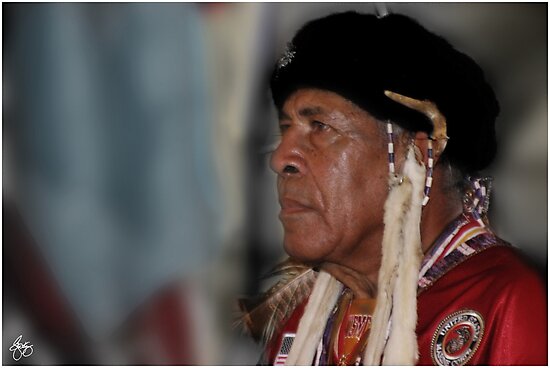
Native American
 |
| The Unexpected Visitor Signed Originals. Unsigned Open Edition Prints |
 |
| Poplar Cluster in the Wind Signed Originals. Unsigned Open Edition Prints |
 |
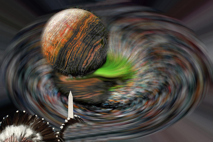
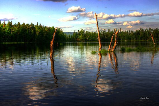
| Neap Tide for Planet Earth |
 |
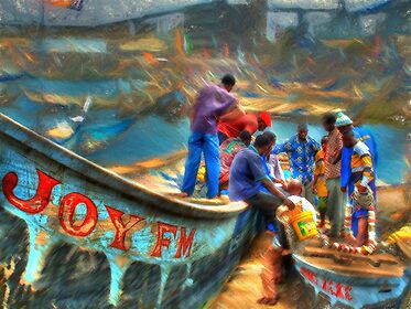
| Painting the Way in Roseau |
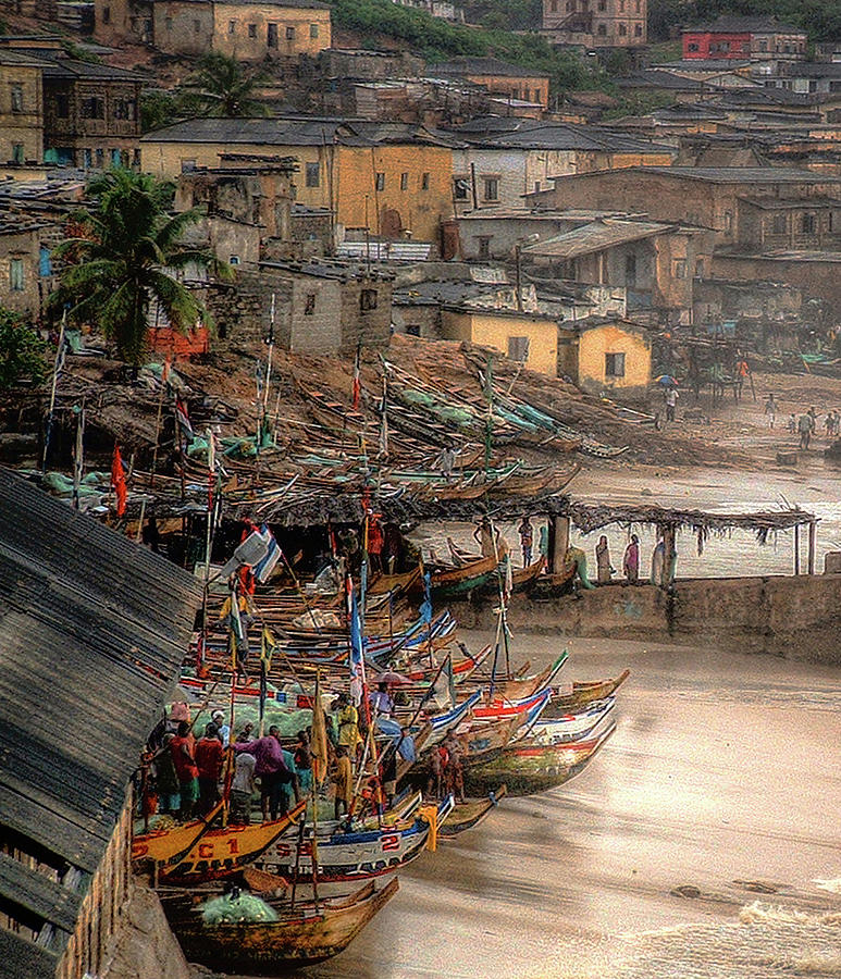 |
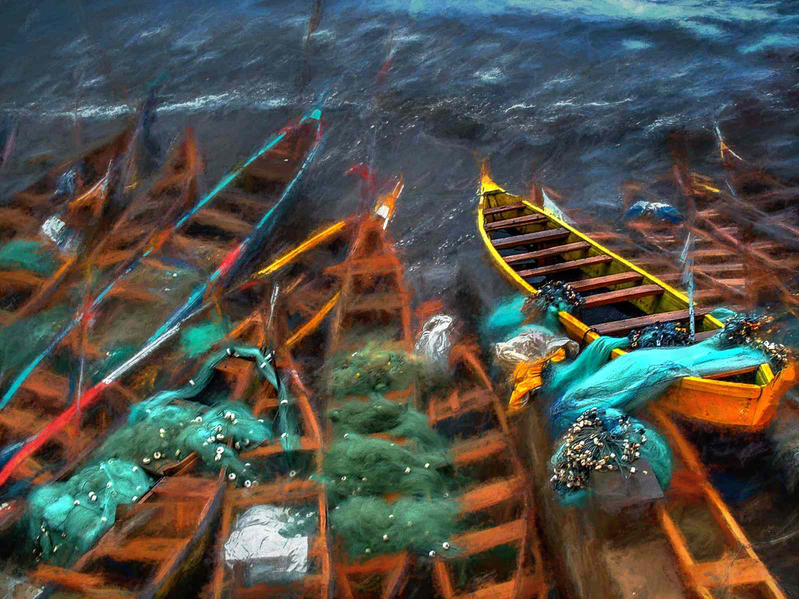
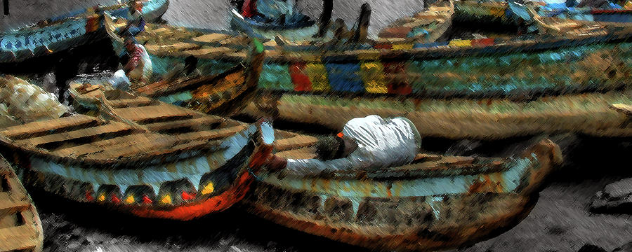
| Fishing Boats Cape Coast Ghana |
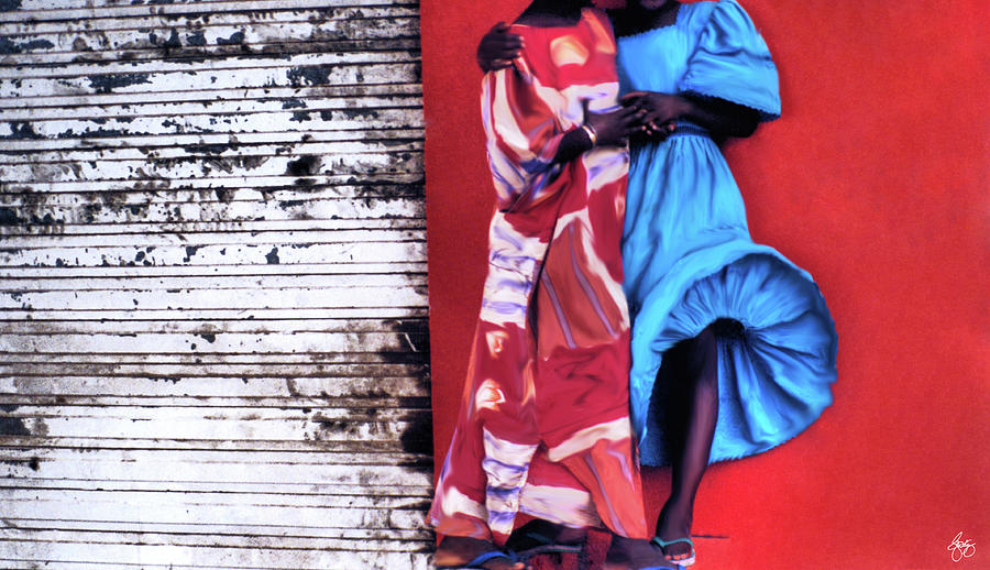 | ||||||
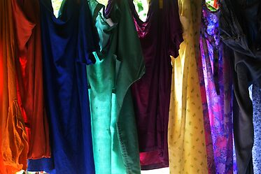
Dresses in a Senegal Breeze
|

 |
| Washday in Accra Signed Original Prints. Unsigned Open Edition Prints |
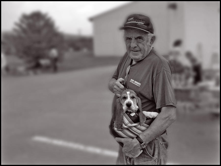 |
| A Boy and his Beagle Signed Originals. Unsigned Open Edition Prints |
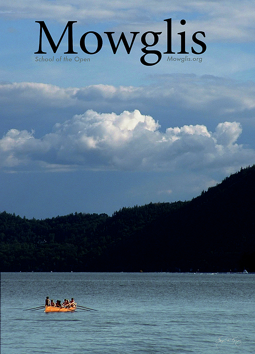 | |||||||||||||||||||||||||||||||||||||||||||||||||||||||||||||||||||||||||||||||||||||||||||||||||||||||||||
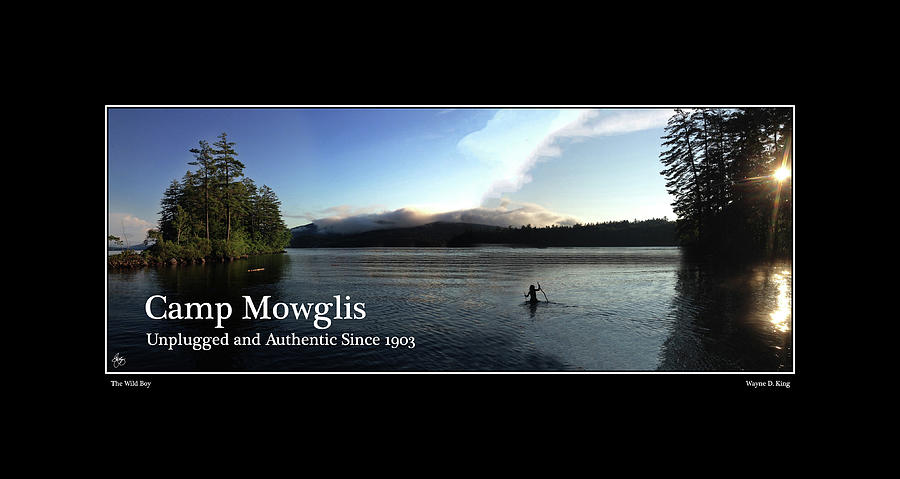
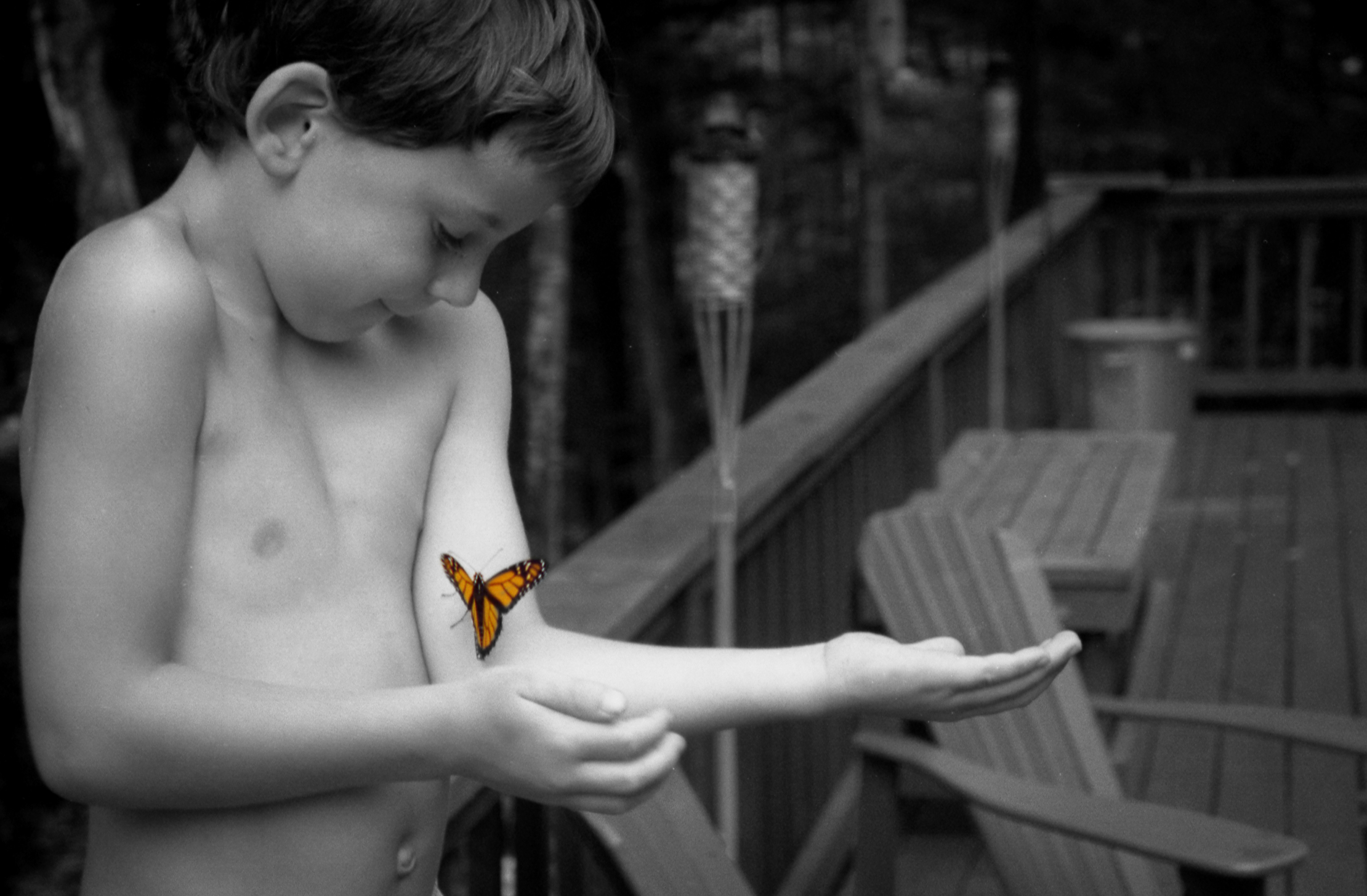
| Mowglis Crew Poster This image was created using elements of both photography and watercolor painting
|


 |
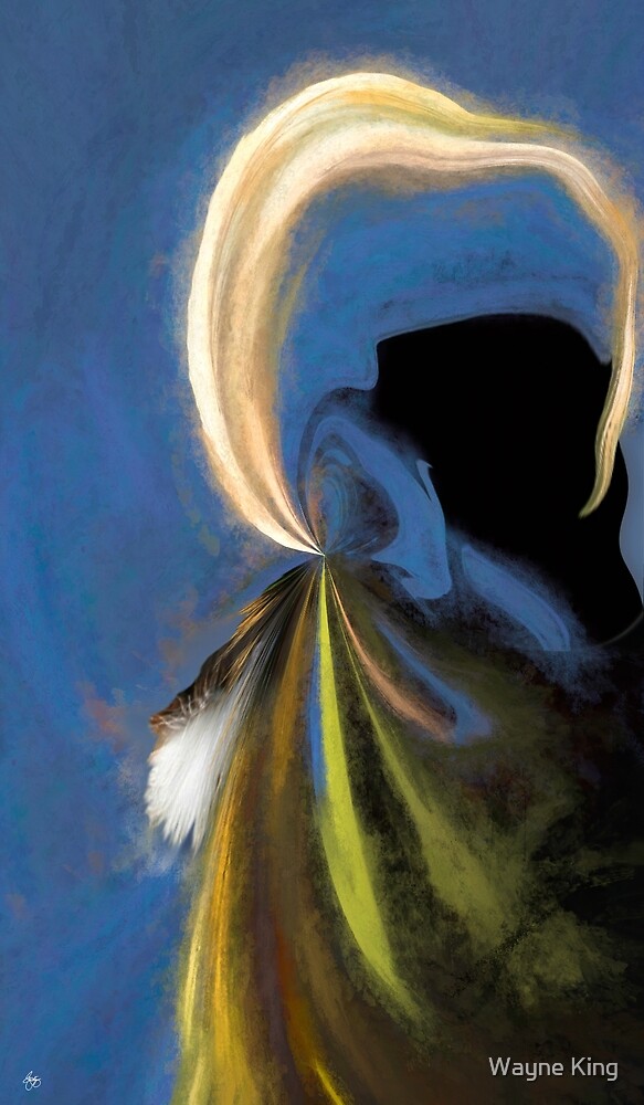
| Blonde Spirit |
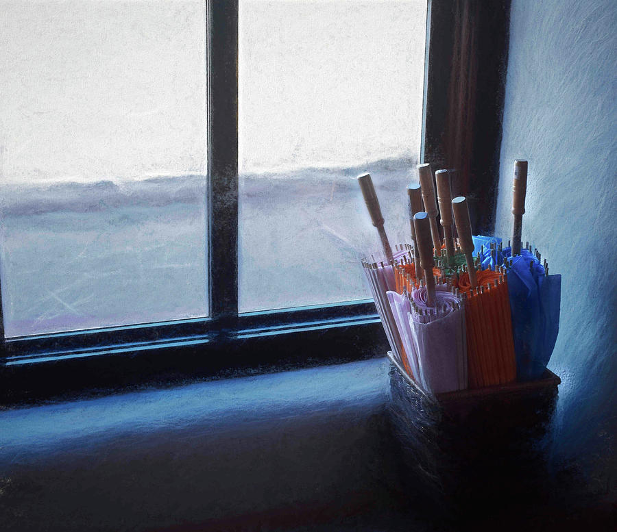 | ||
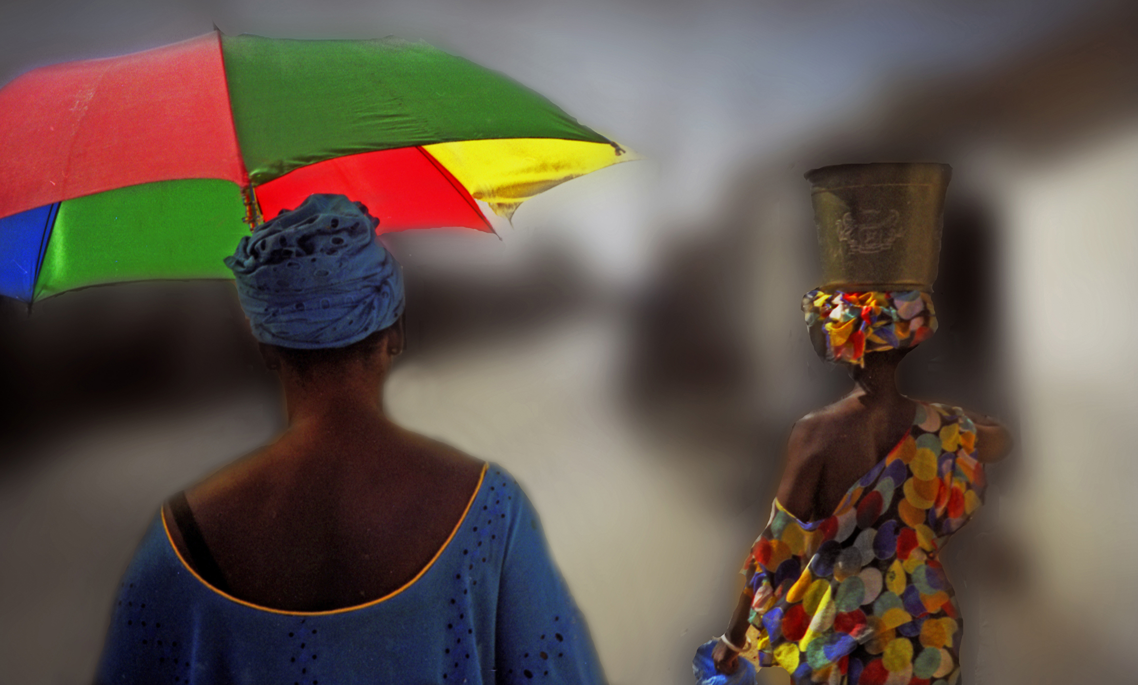
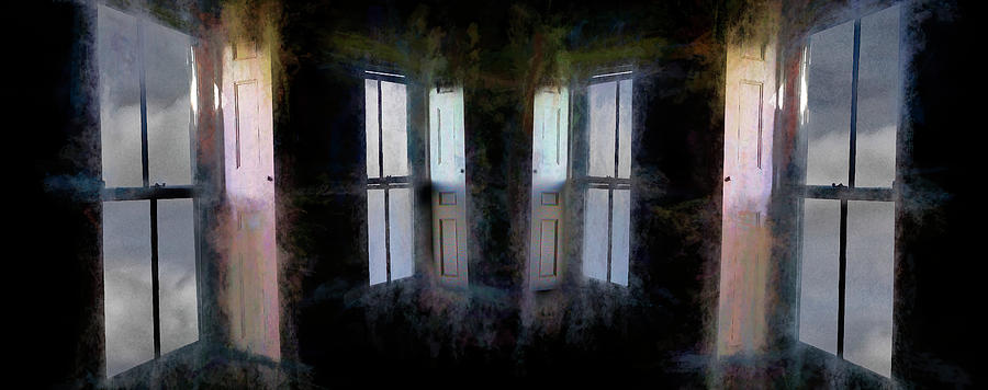
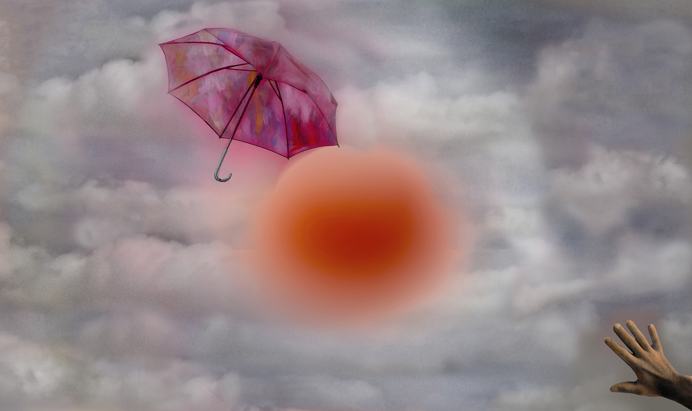
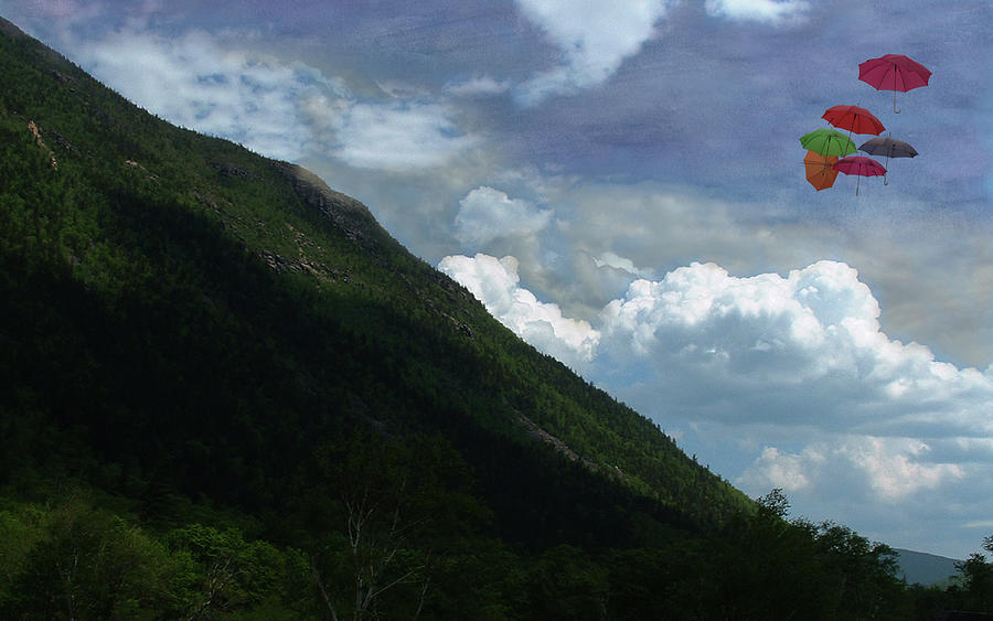
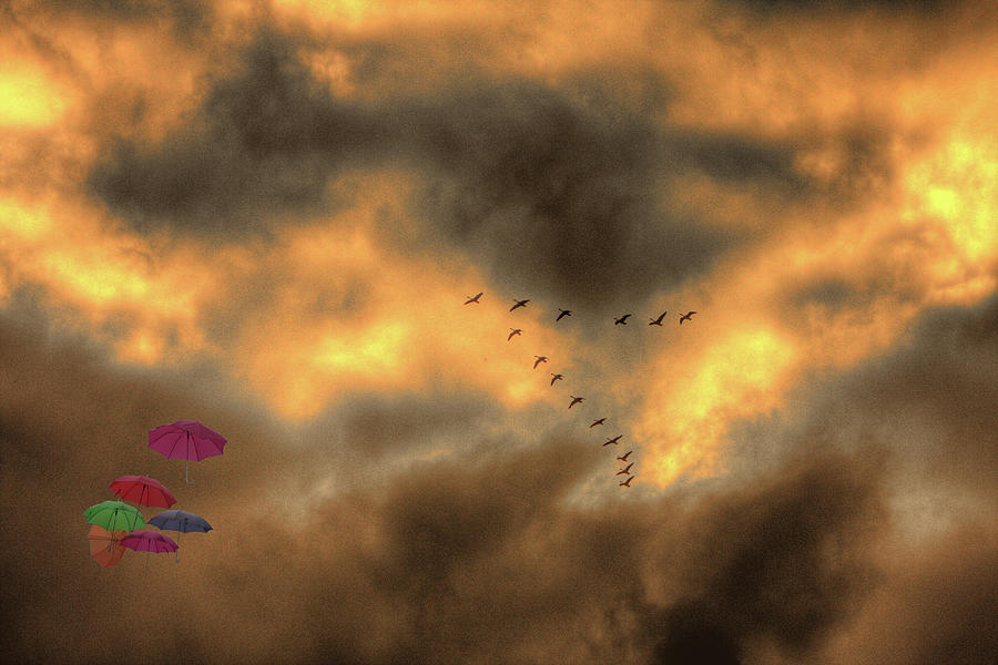
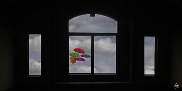
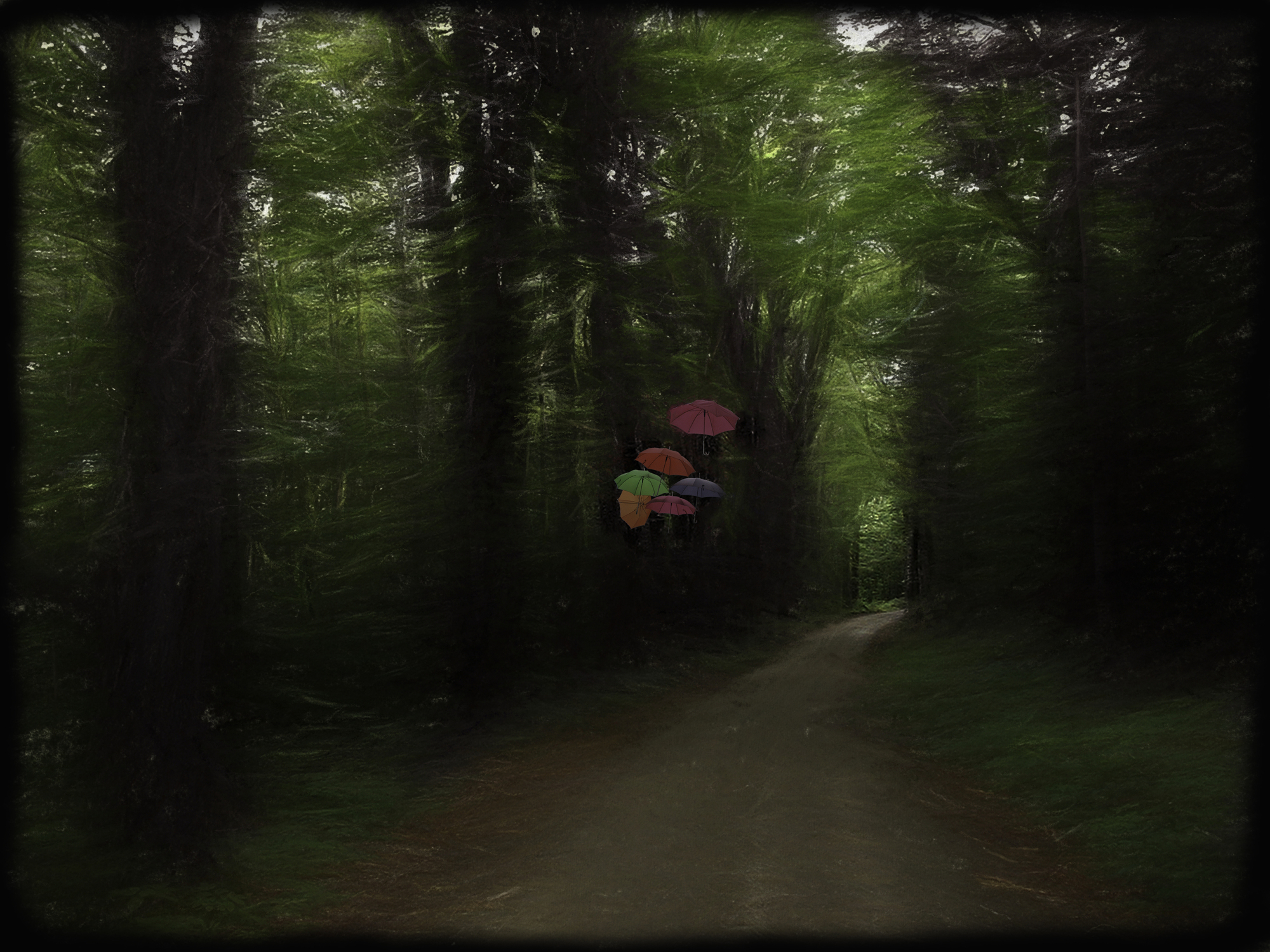
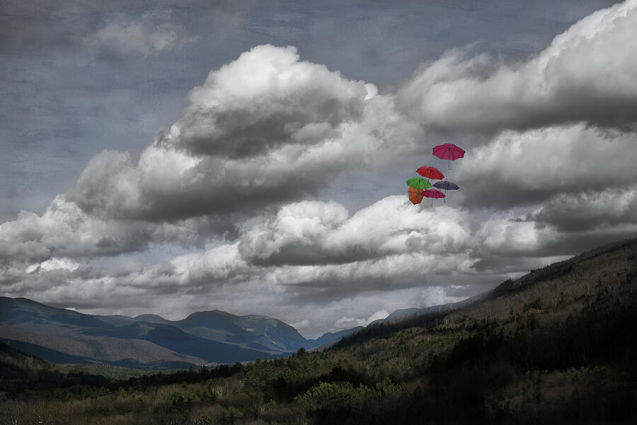
Umbrellas in a Museum
|
 |
| The Path to Hospital Rock |
 |
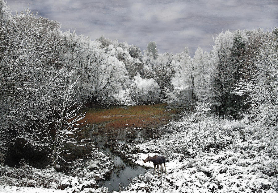
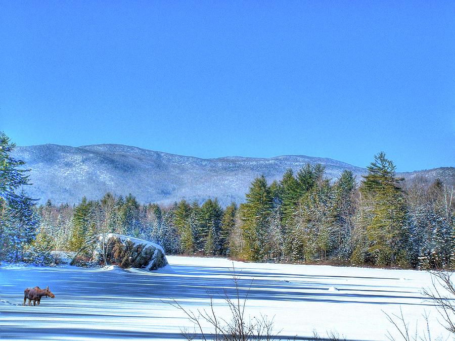
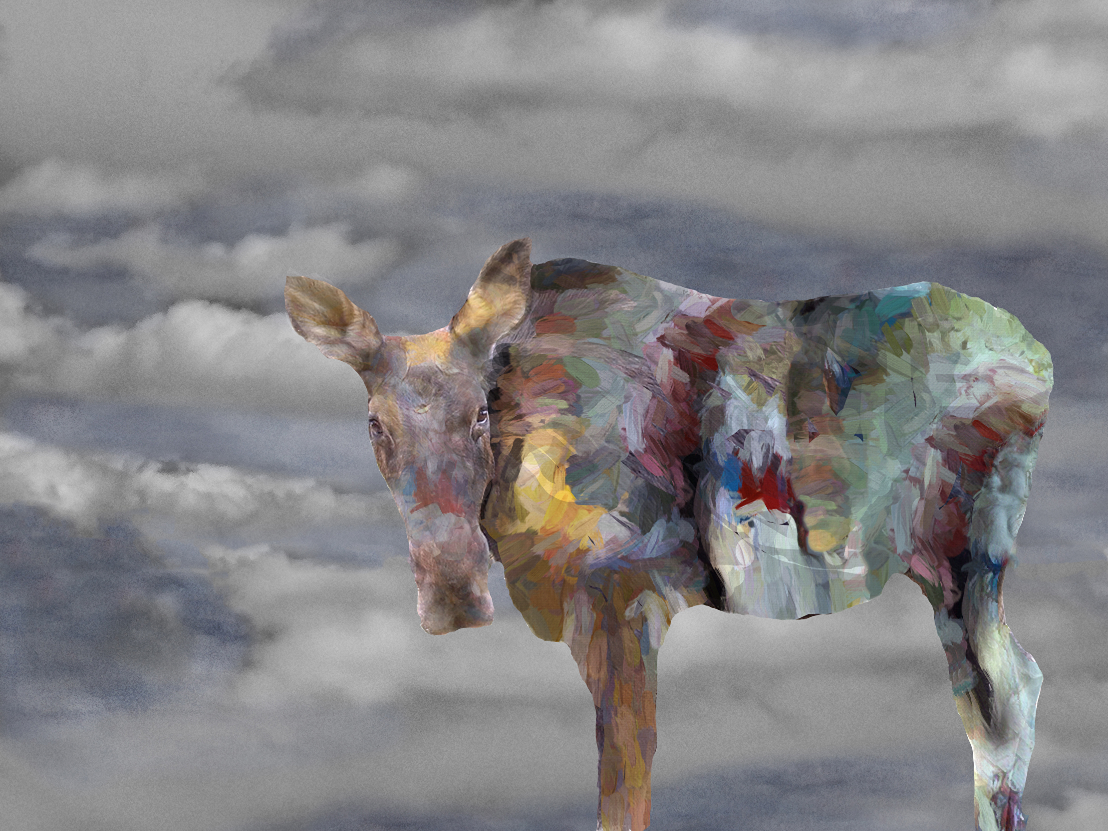
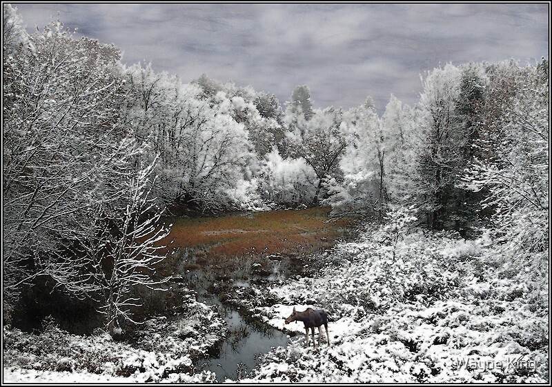
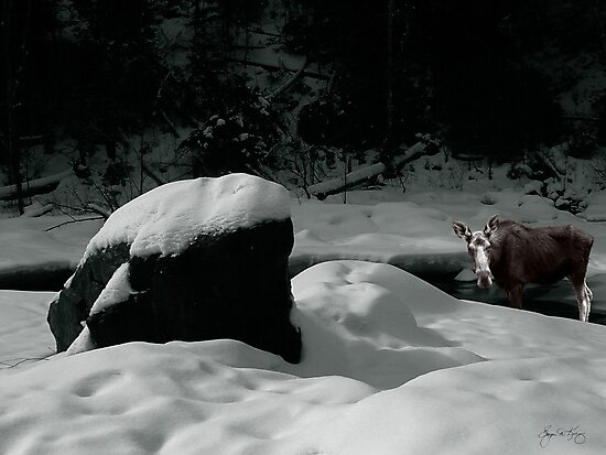
| Autumn Moose on the Squam River |
 |
| Colors in a Pike NH Home |
 |
| Last Light on the Wash |
 |
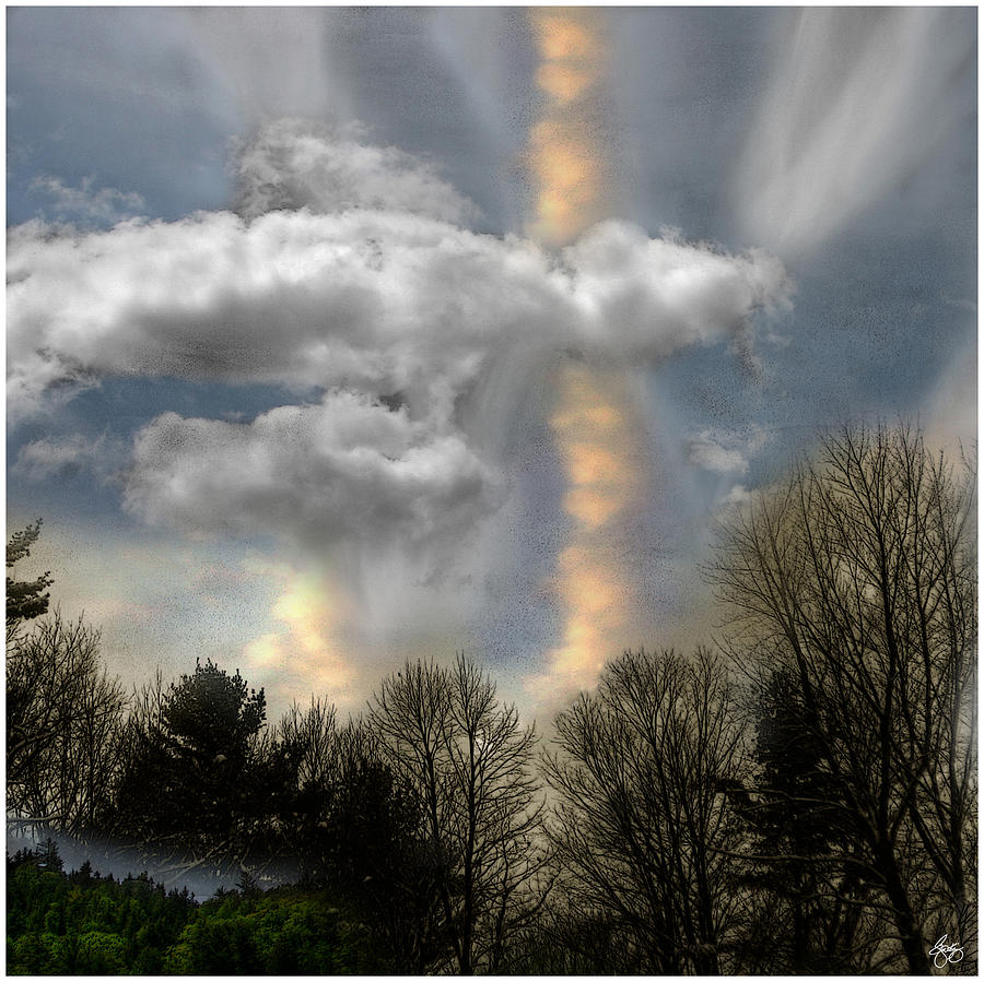
| Surely God Abides Here |
 |
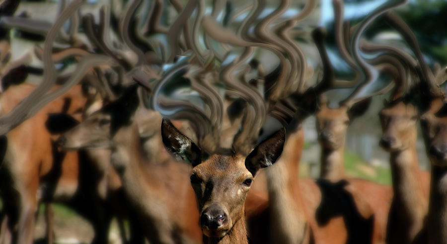
| Dreams of Deer No 1 |
 |
| The Last Sumac Signed Originals. Unsigned Open Edition Prints |
 |
| Washday Yeaton Road Signed Originals. Open edition prints |
 | ||
| Autumn on Eisenhower Signed Originals. Unsigned Open Edition Prints
|
 |
| Flowers in Window Light Signed Originals. Unsigned Open Edition Prints |
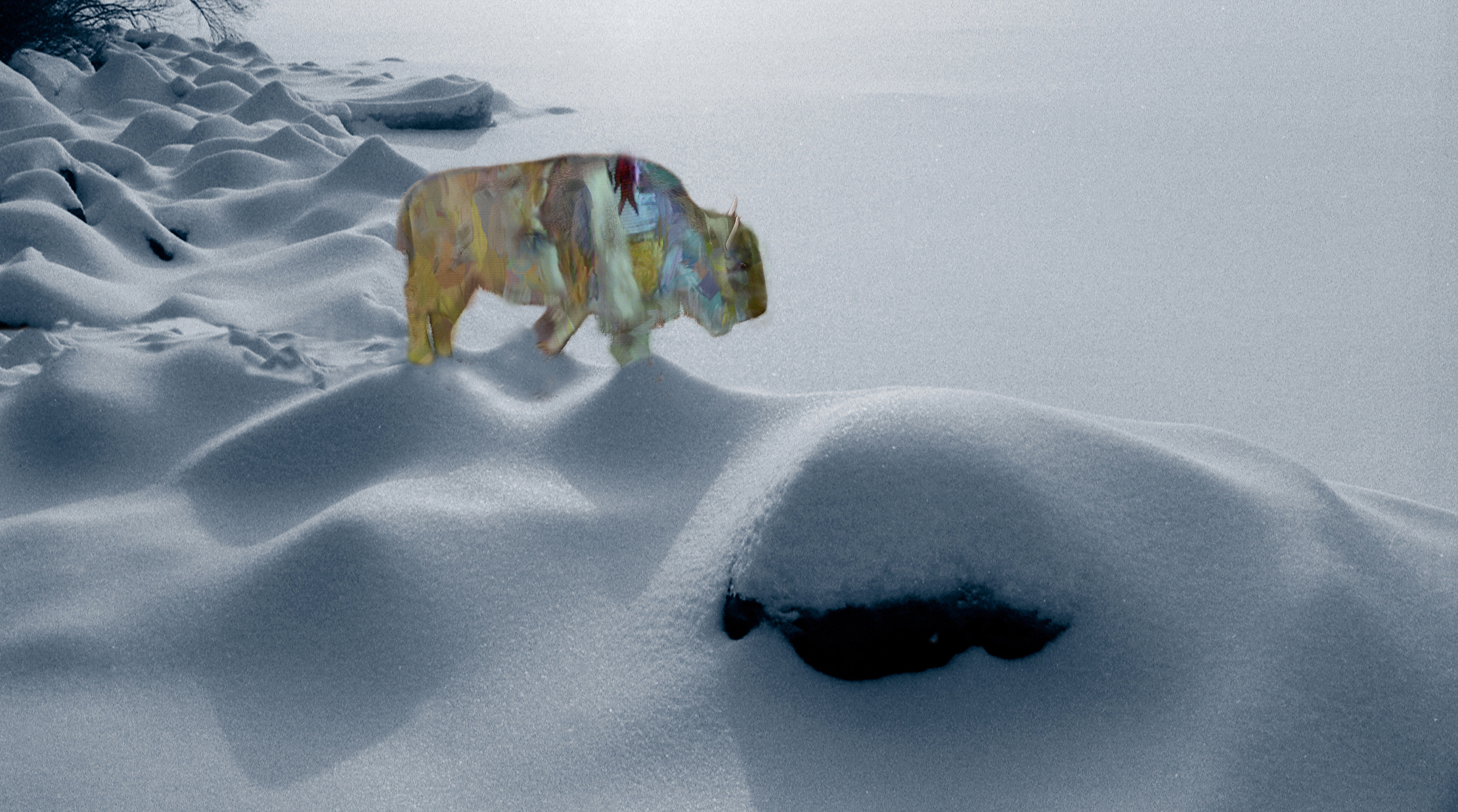 |
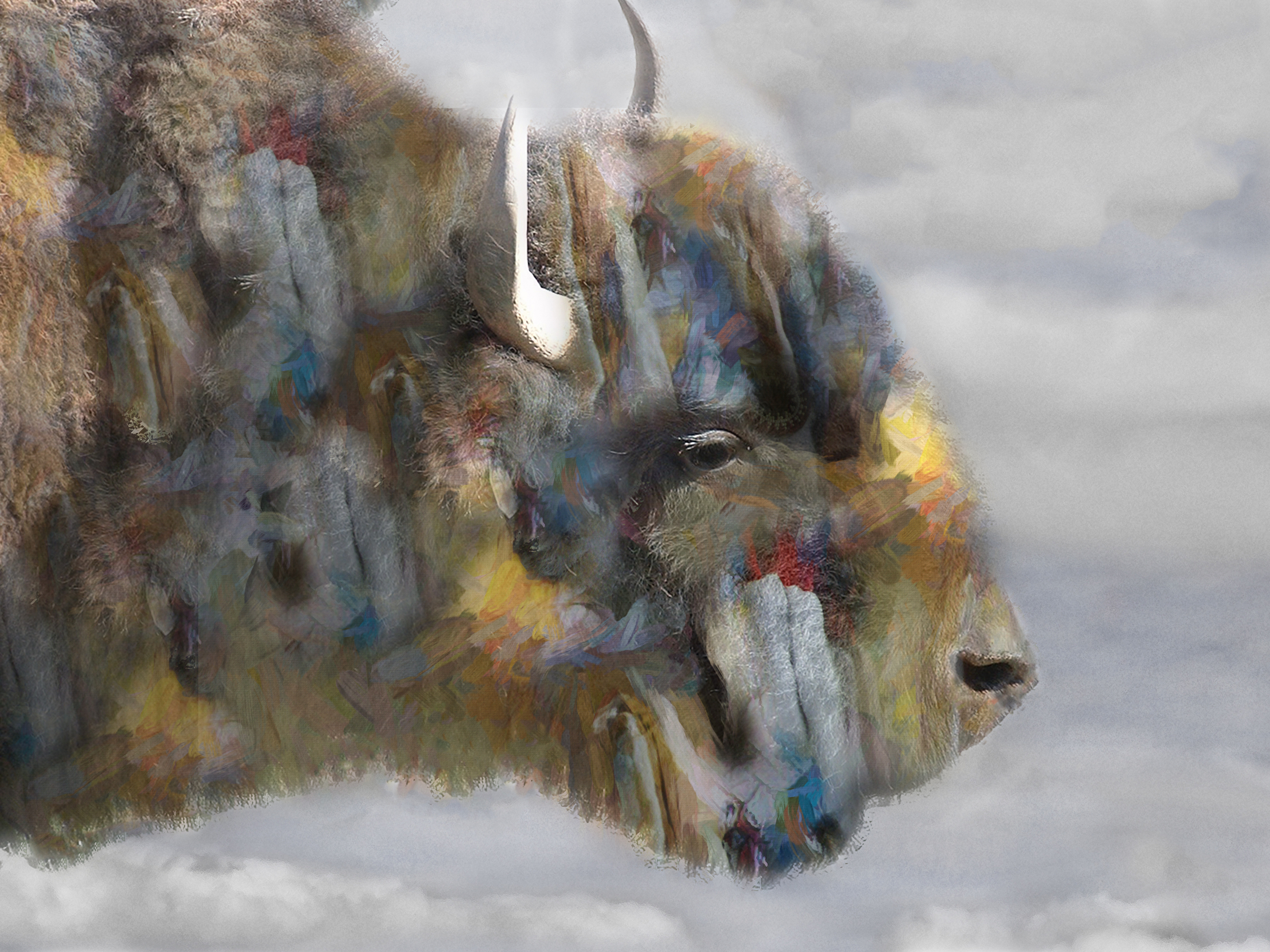
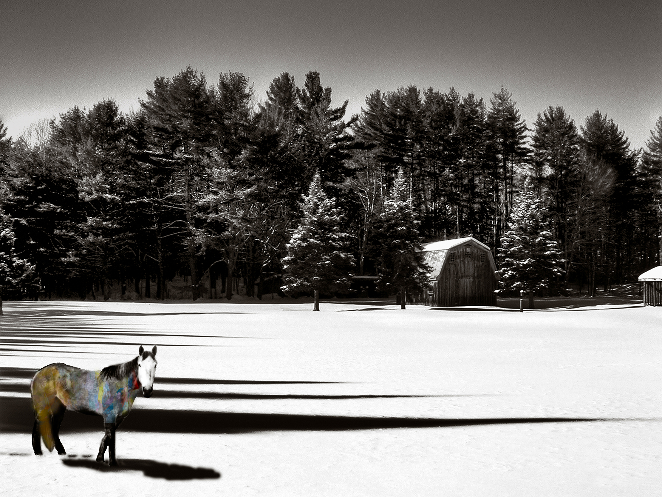
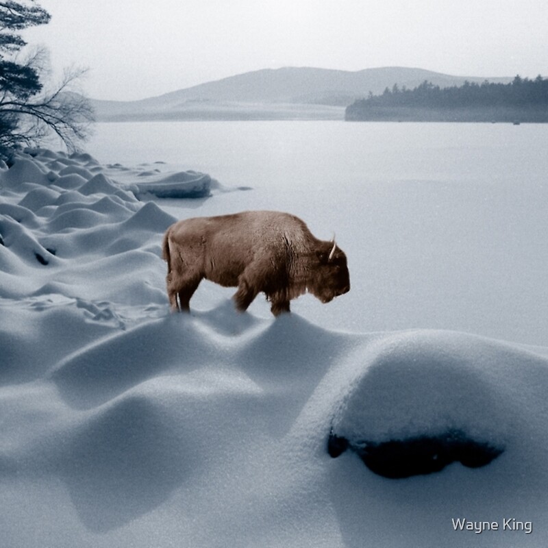
| Spirit Buffalo in Winter |
 |
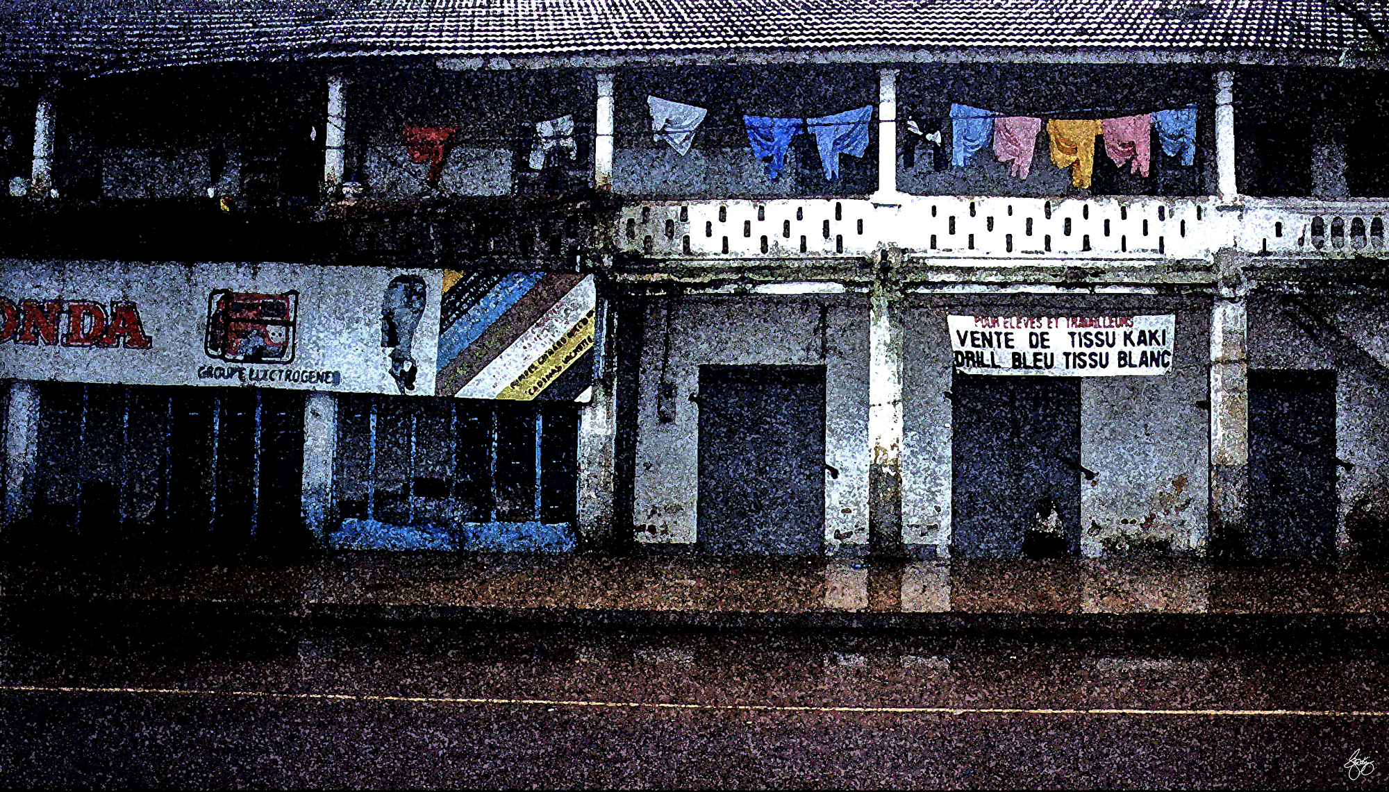
| The Indoor Market at Guinea Conakry |
 | ||||||||||||||
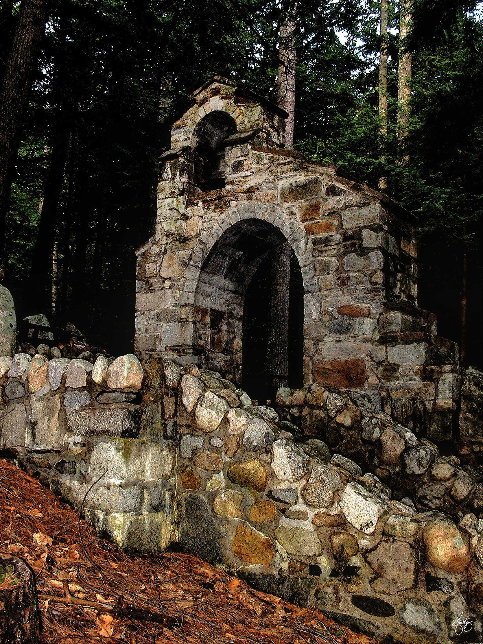
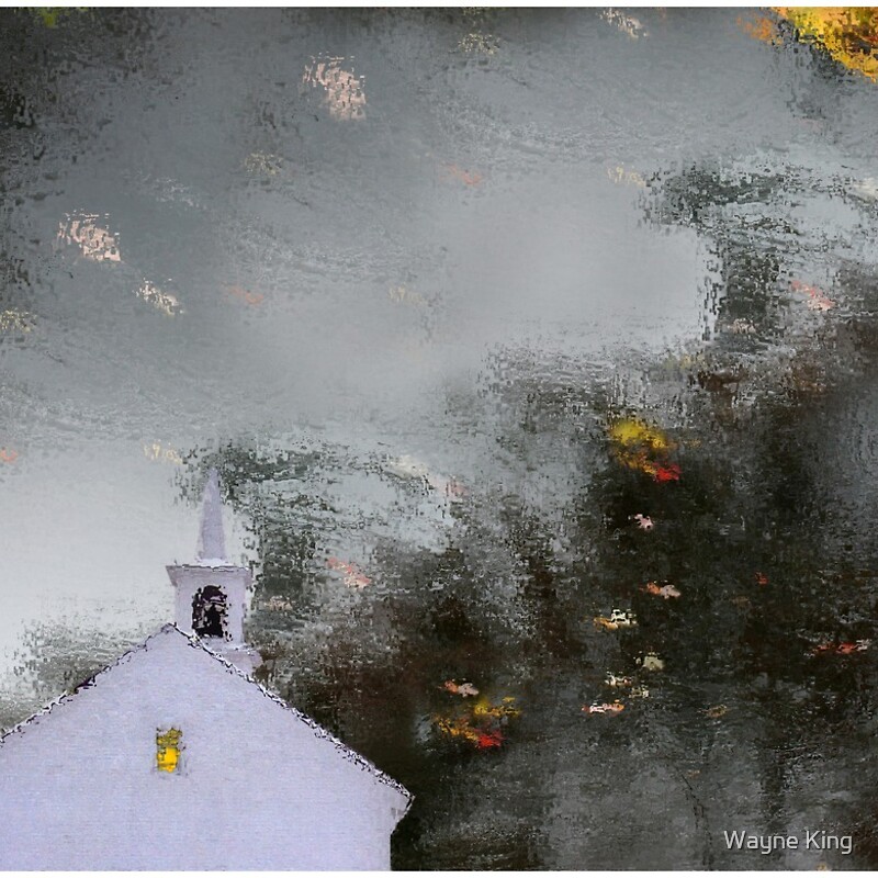
Reflections of a Chapel in Autumn Light
|
 | ||||||||
Apples in a Hedgerow No 1
|


 |
| Dogwood Display |
 | ||
Light Fades on Arapaho Basin
|
 |
| Winter Blues |
 |
| Flowing Colors in a Winter Landscape |
 |
| Hobart Hill Silhouette |
 |
| The Place Where He Sang - Frosts Place |

 |
| Winter Shadows |
 |
| The Etherial Healer Net Repair 3 |
 |
| Plointing the Way in Dominica |
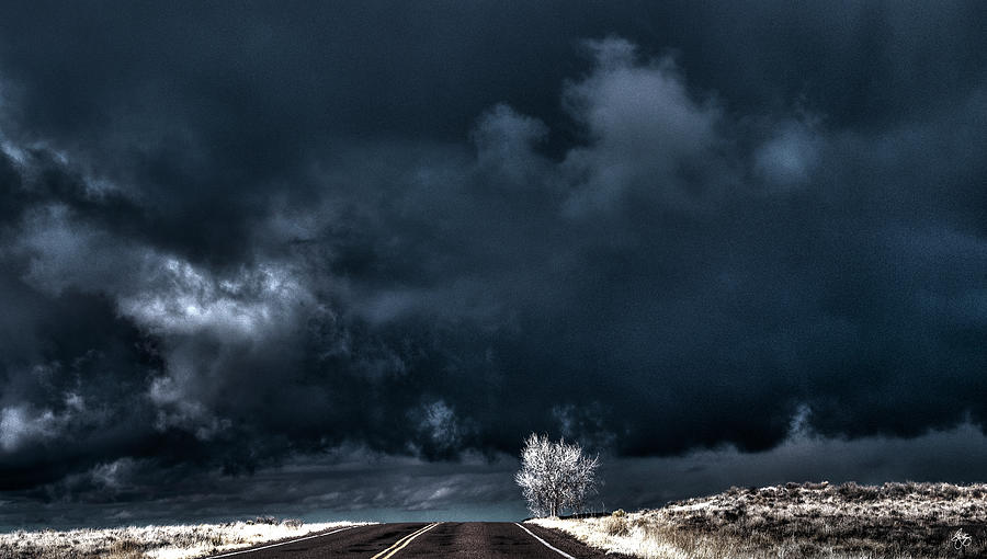 | ||
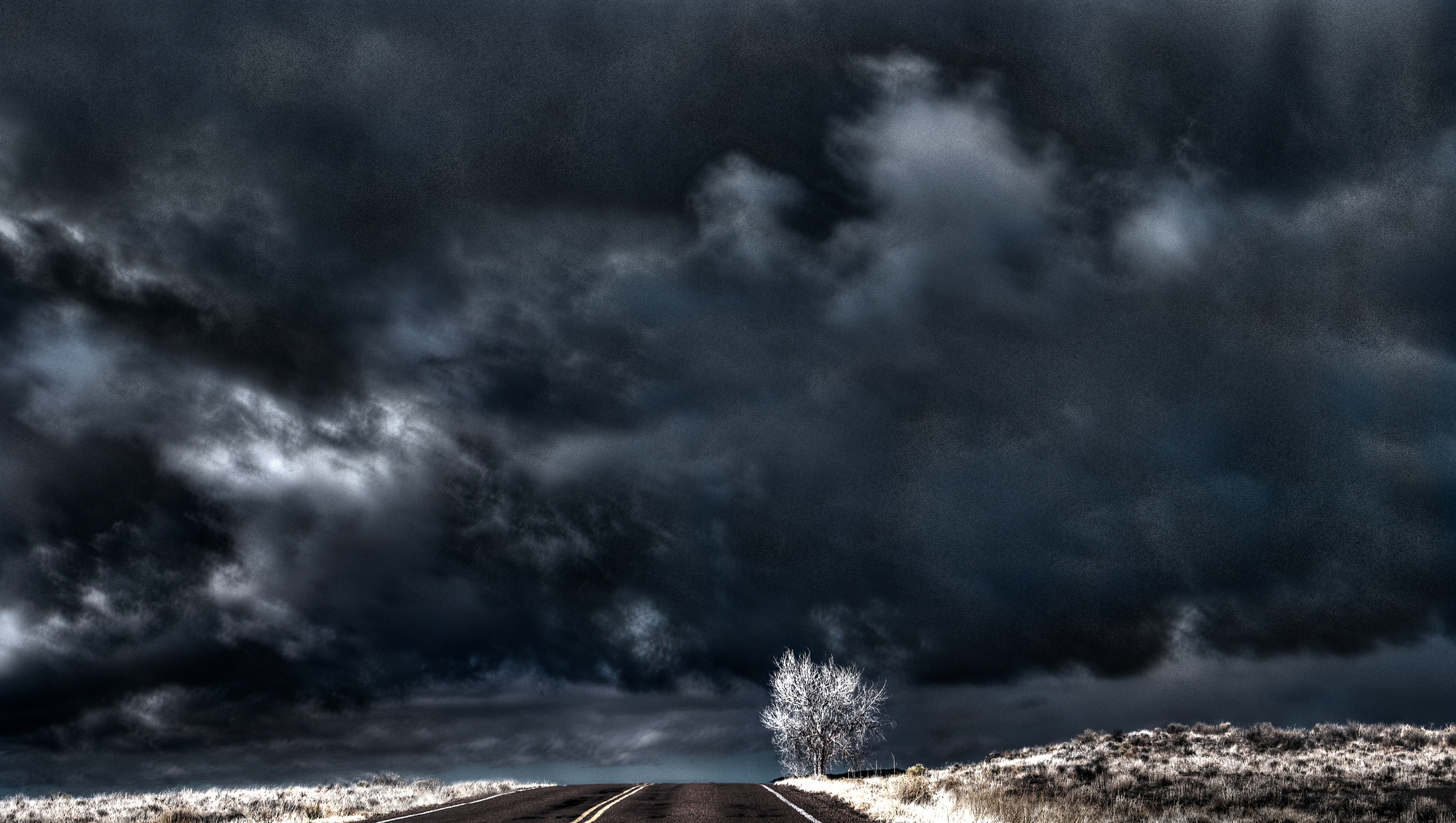
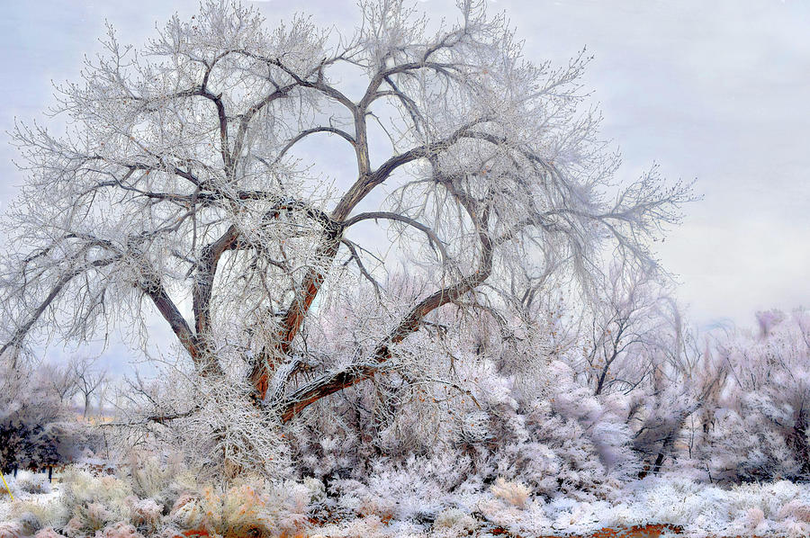
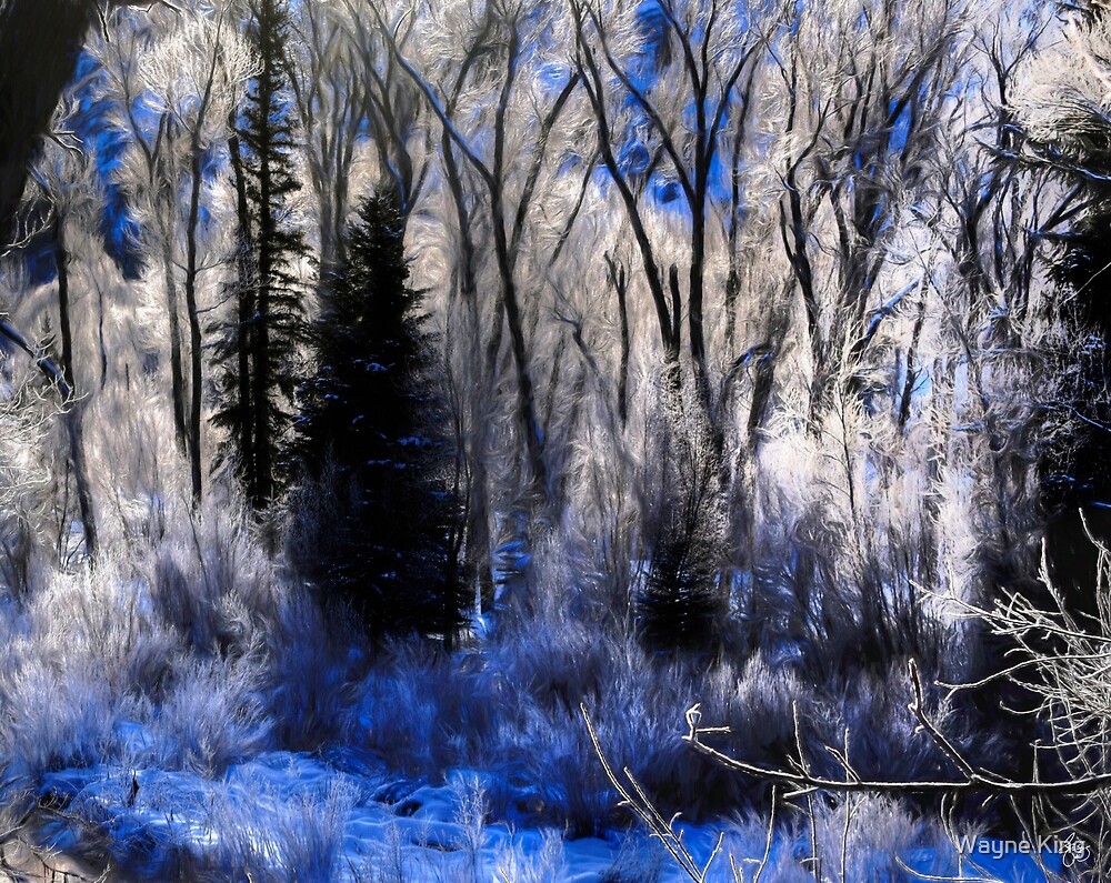
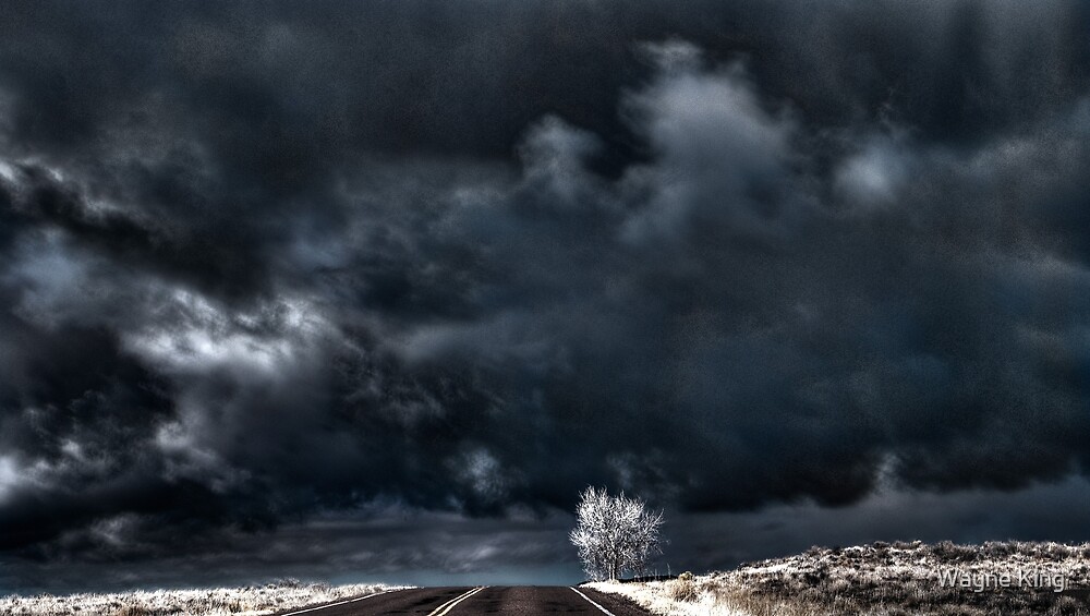
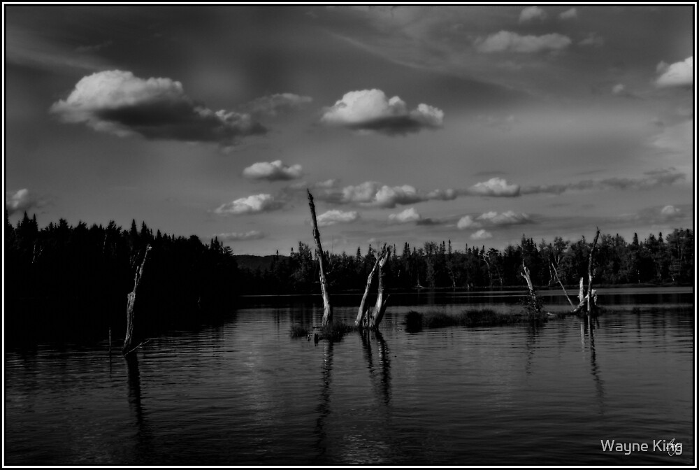
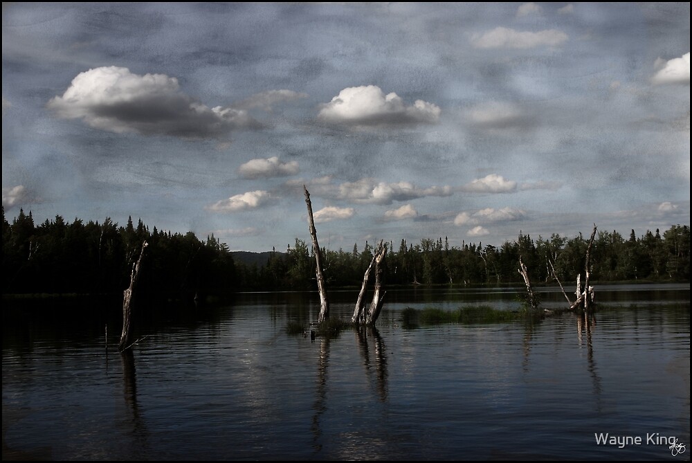
Ghost Cottonwood in a Blue Storm
|
 | ||
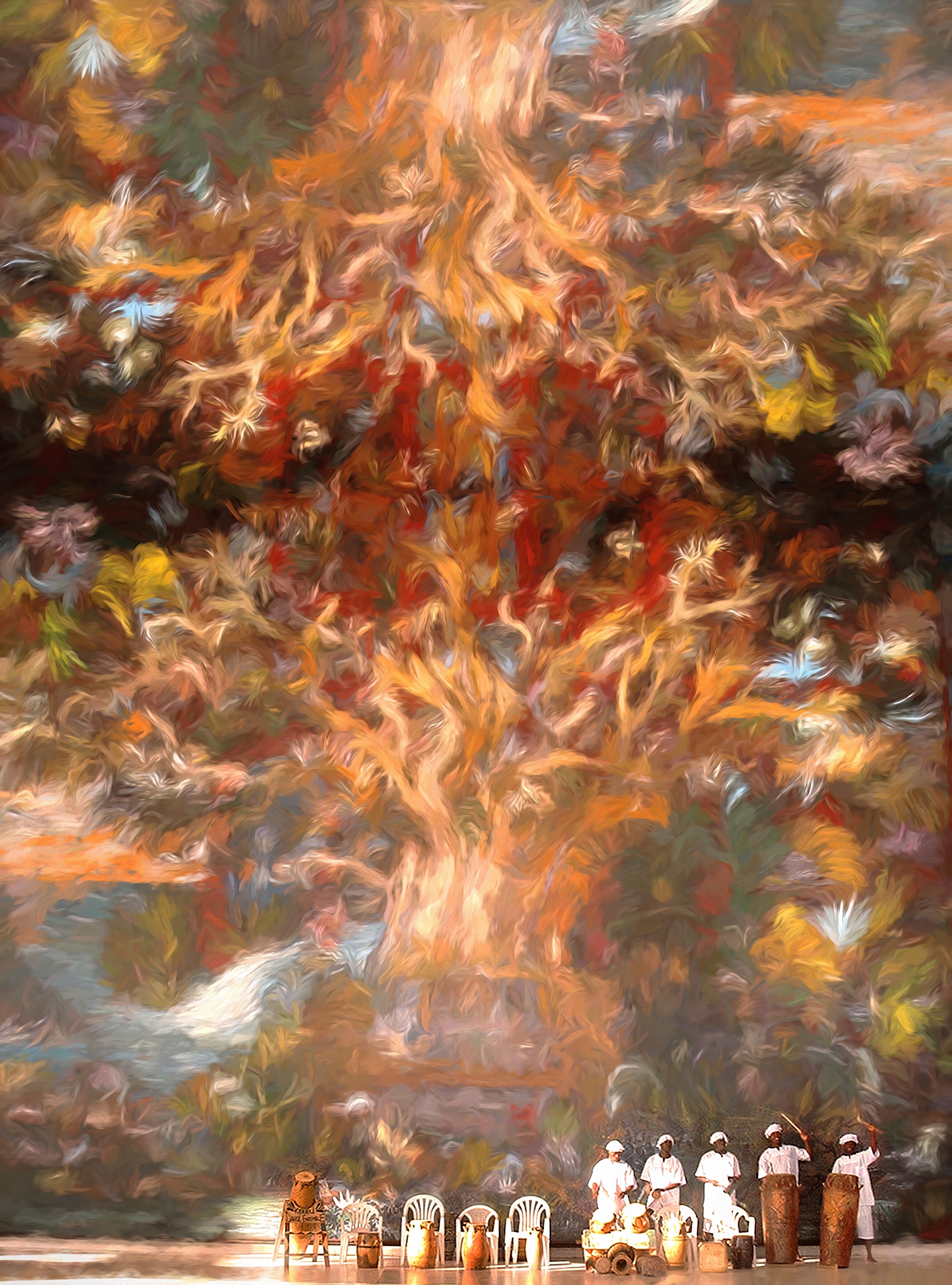
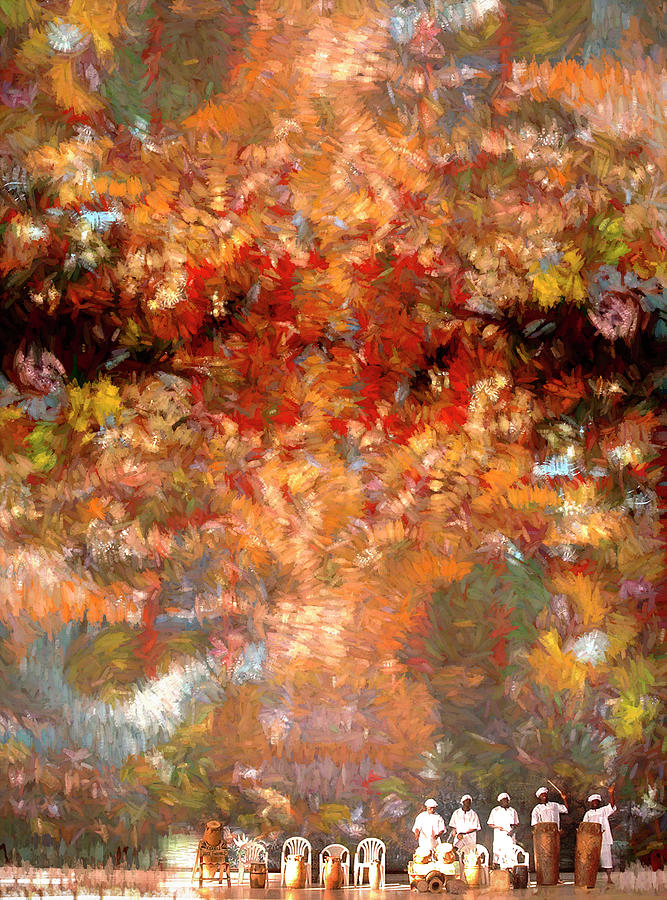
Passing the Torch
|
 |
| The Perfect Pair |
 |
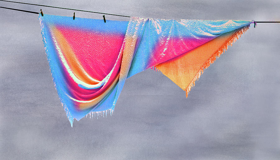
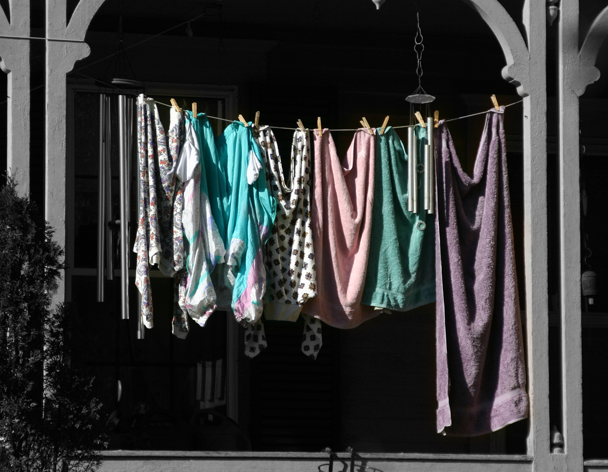
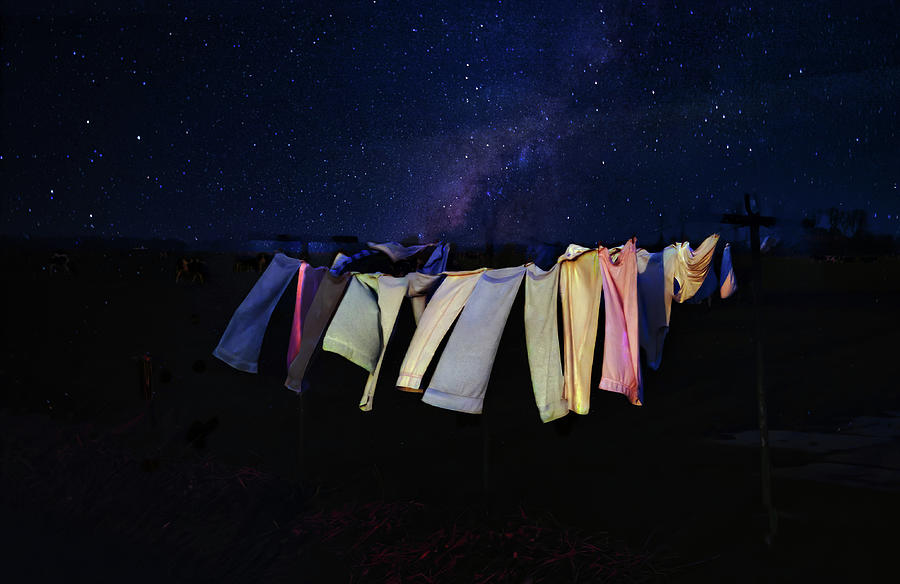
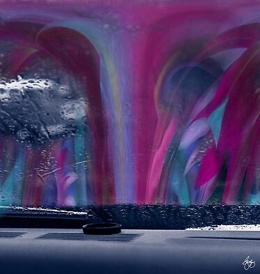
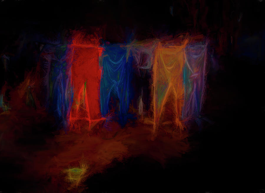
| Electric Washline |
 |
| Into Orange |
 |
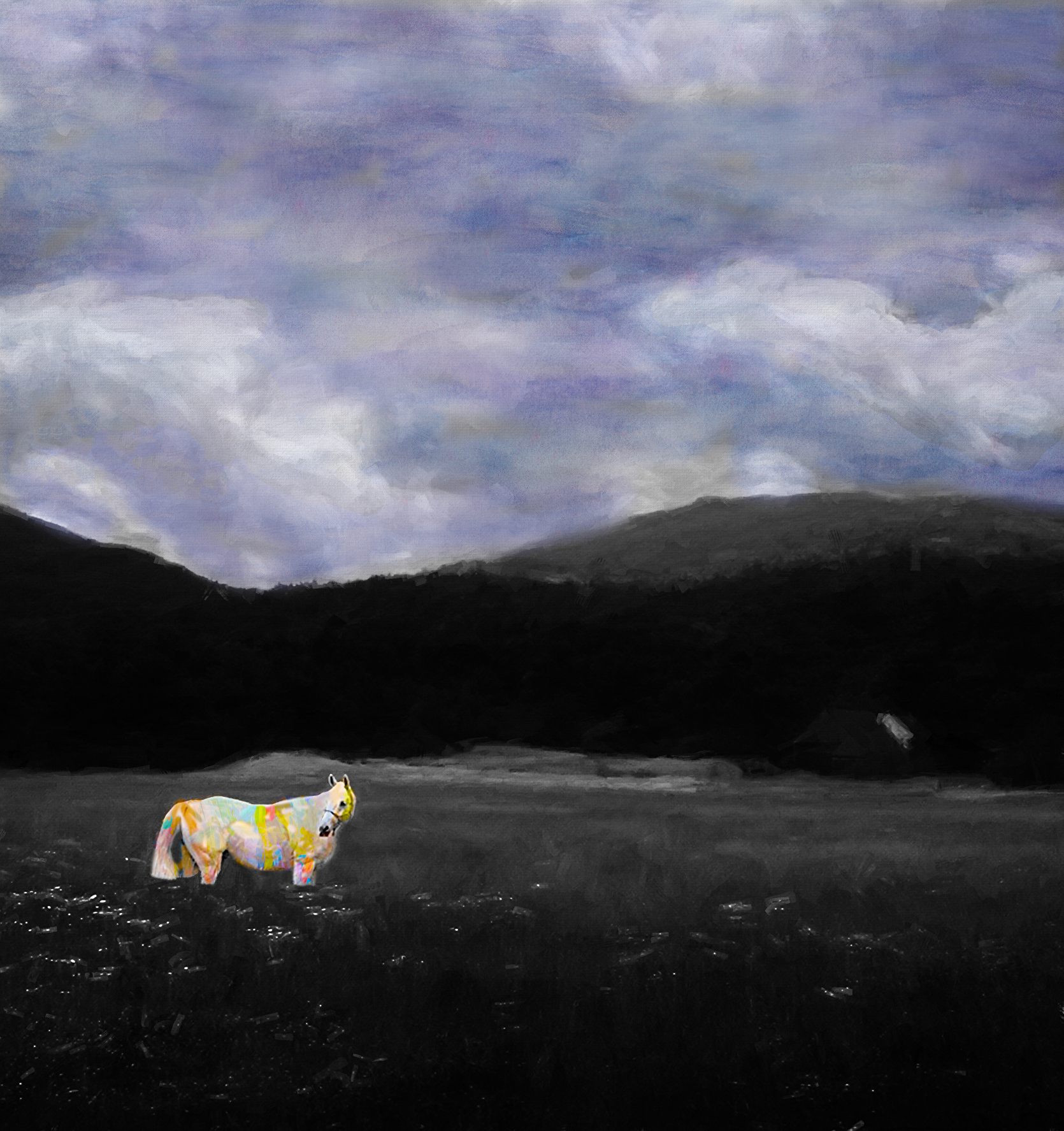
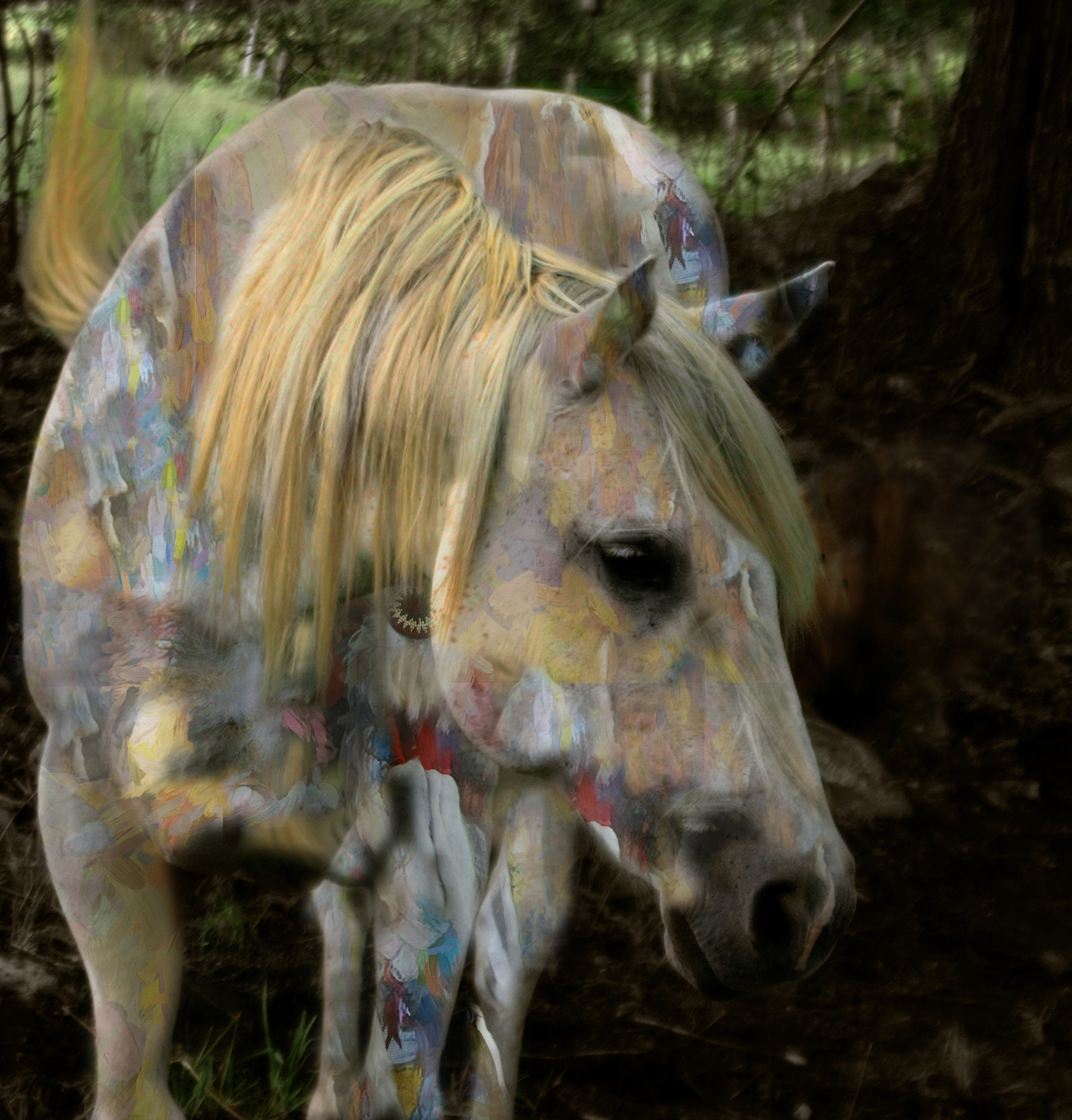
| Warm Light on a Spirit Pony |
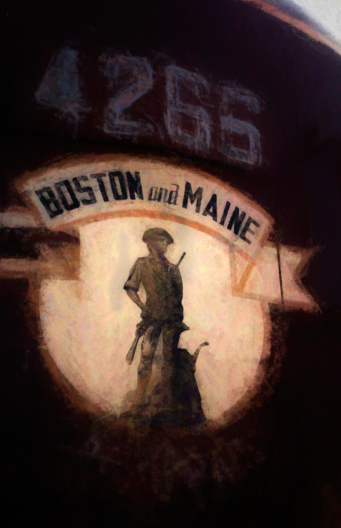 | ||||||||||
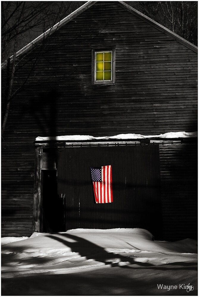
B&M Pride
|

 |
| Sumac Fall Signed Originals. Unsigned Open Edition Prints |
 |
| Orange Washline Hybrid |
 |
| Spirit Pony in a Painted Dreamscape Signed Originals. Open edition prints |
 | ||
| Chapel at the Bend in the Road Signed Originals. Unsigned Open Edition Prints
|
 |
| Hobart Hill Monochrome |
 |
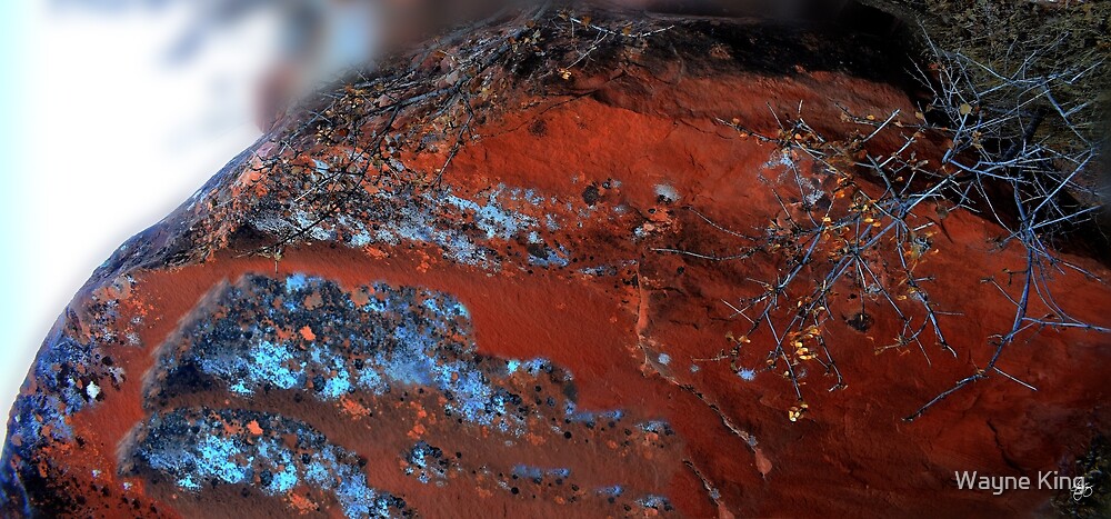
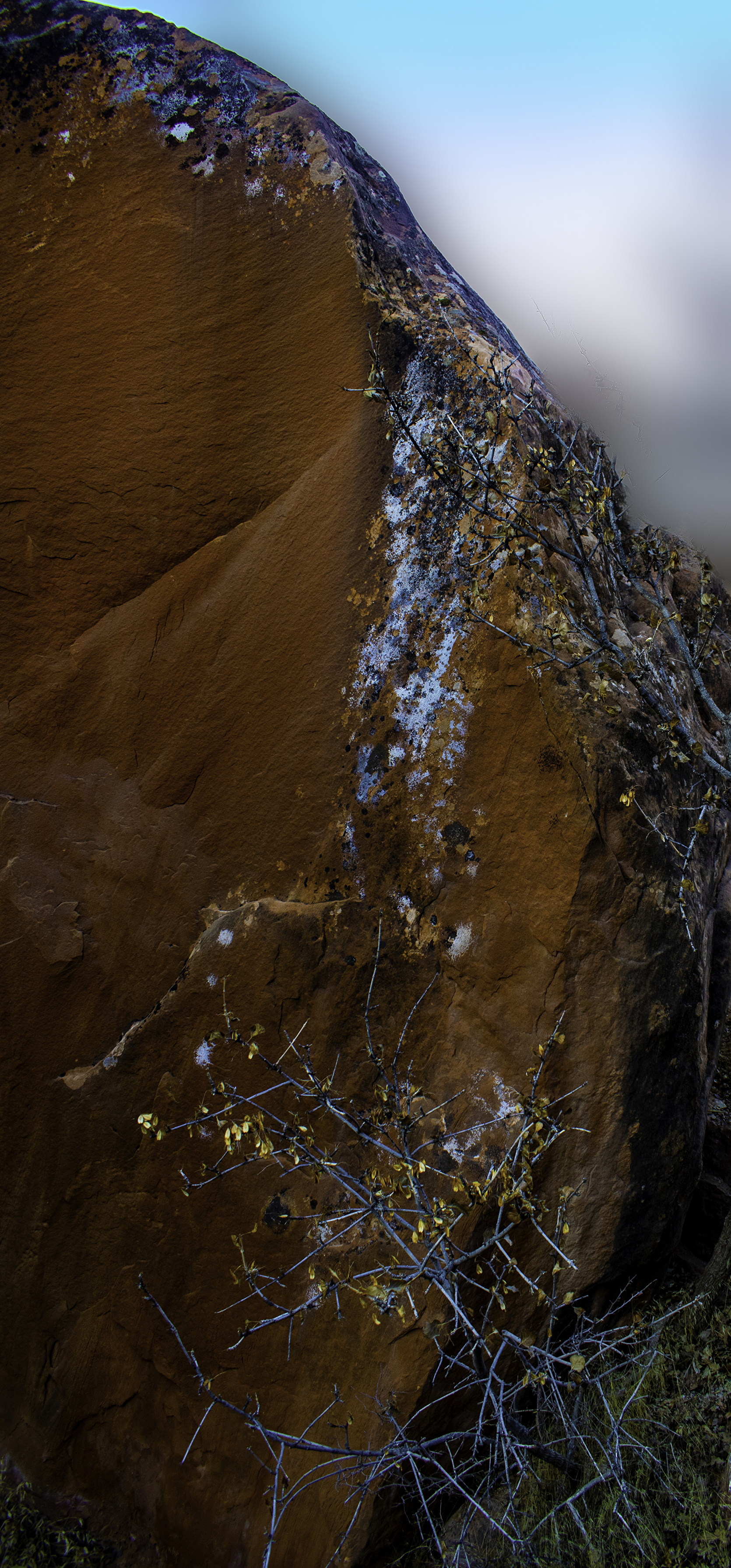
| Blue Lichen against Red Rock Signed Originals. Unsigned Open Edition Prints |
 | ||
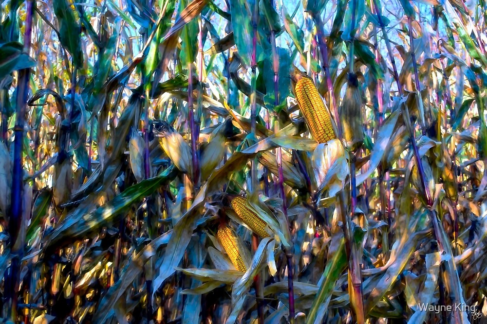
Cornfield Impressions
|
 |
| The Spirit of the Percheron |
 |
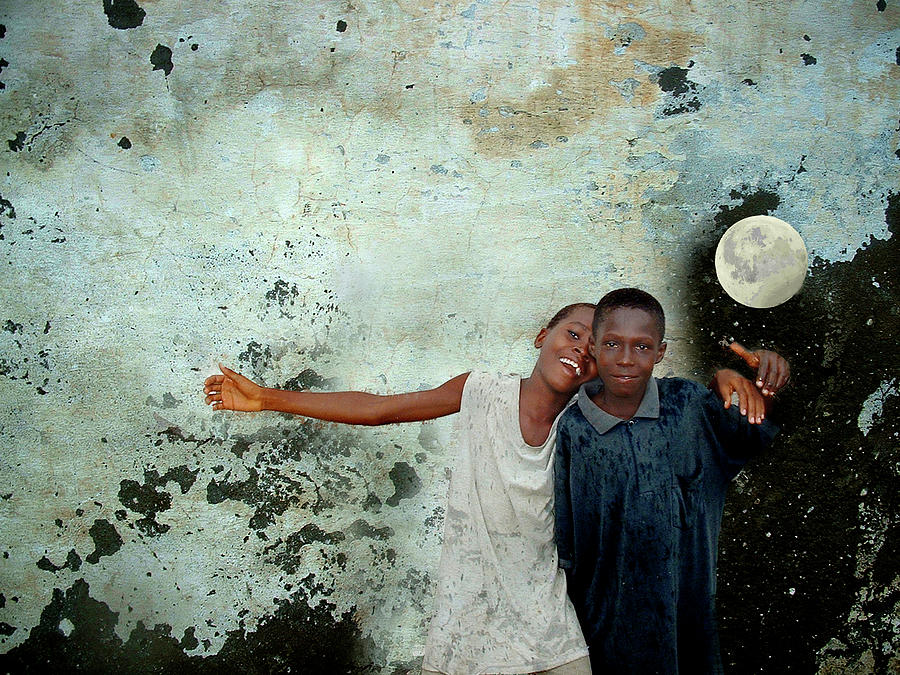
| Two Worlds Reach Out |
 |
| Craddock's Field - The Blue Truck Signed Originals. Unsigned Open Edition Prints |
 |
| The Old Man |

 |
| Wind in the Lupine |
 |
| A Ripple in Time |
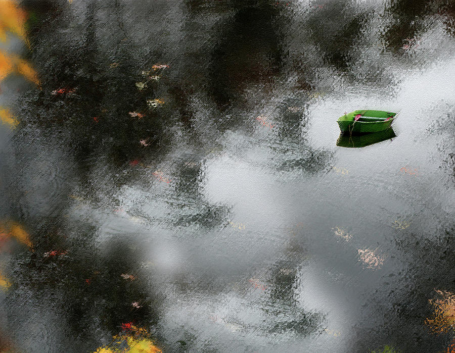 |
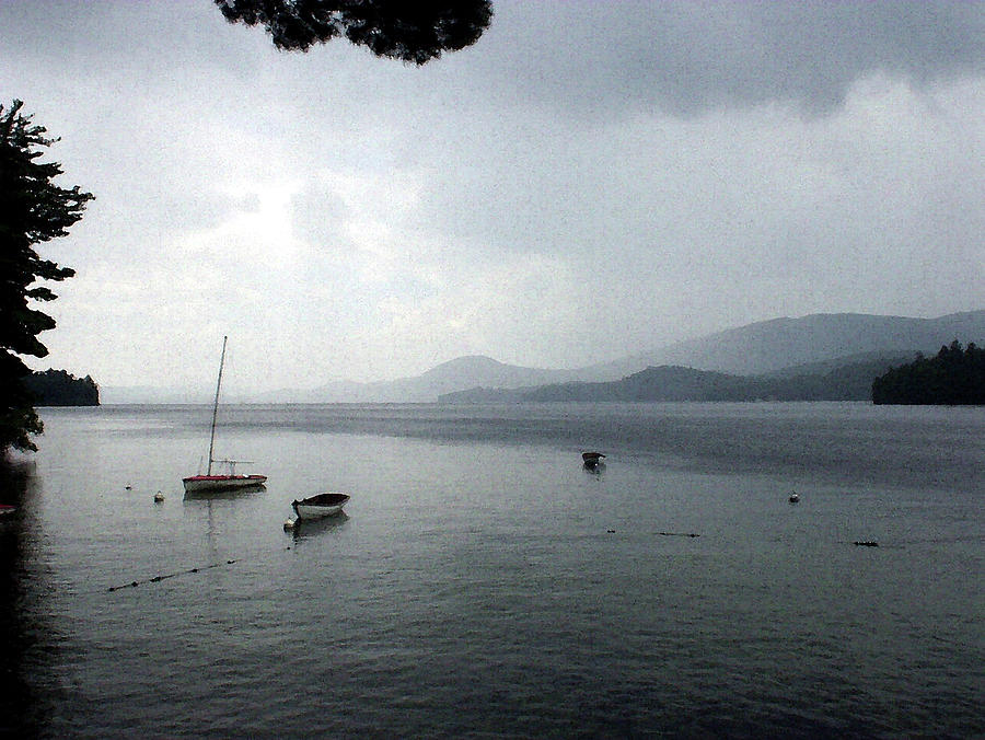
| Green Dingy in Grey Water |
 |
| Fate Reimagined Signed Originals Unsigned Open Edition Prints |
 |
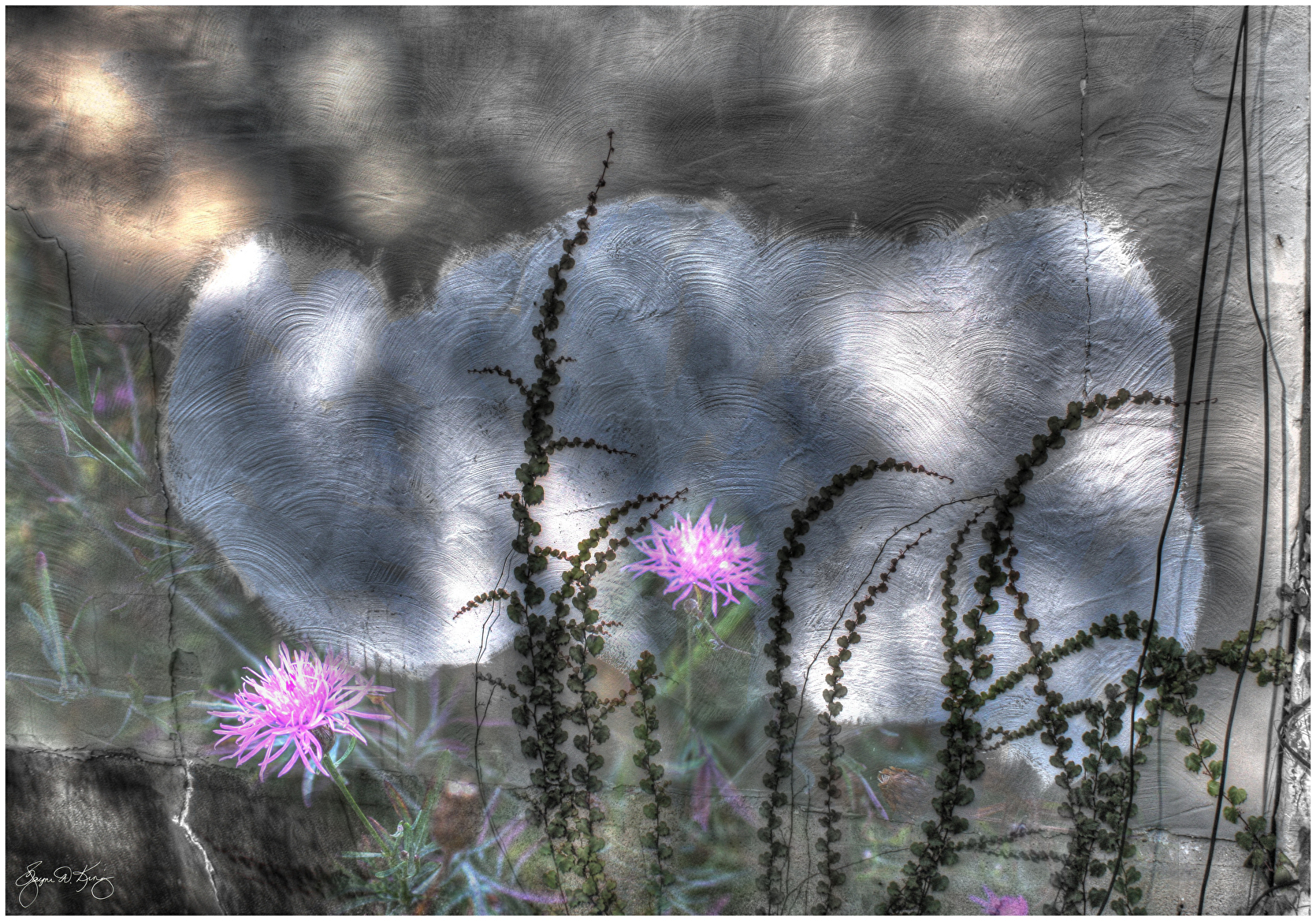
Asehwehweh's Brushstrokes |

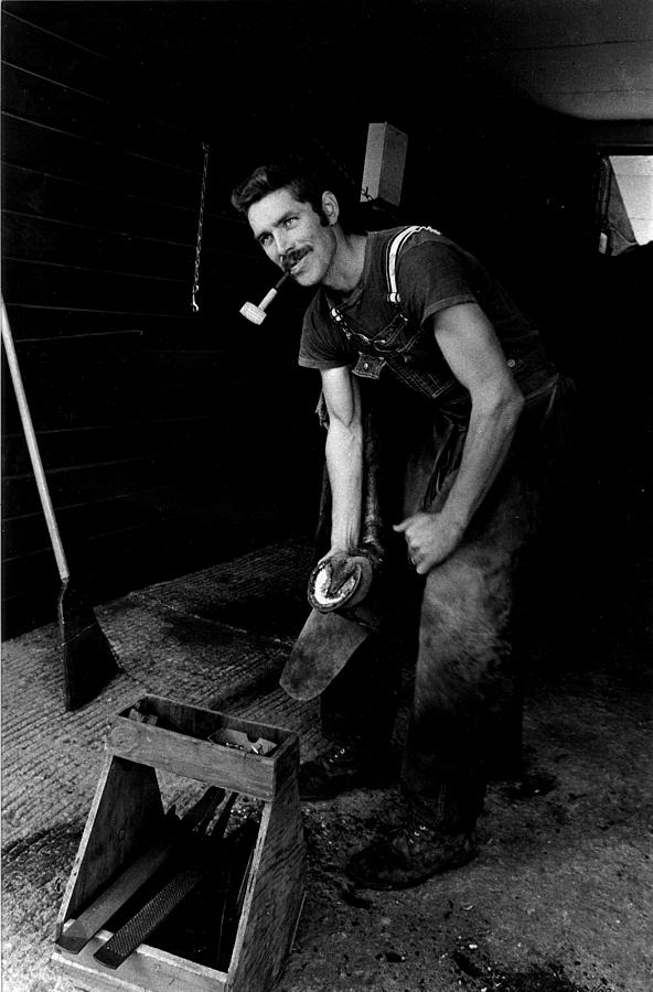 | ||||
The Farrier
|

 |
| Breeze in the Lupine Field |

 |
| Mystery Among the Vines |
 | ||||||
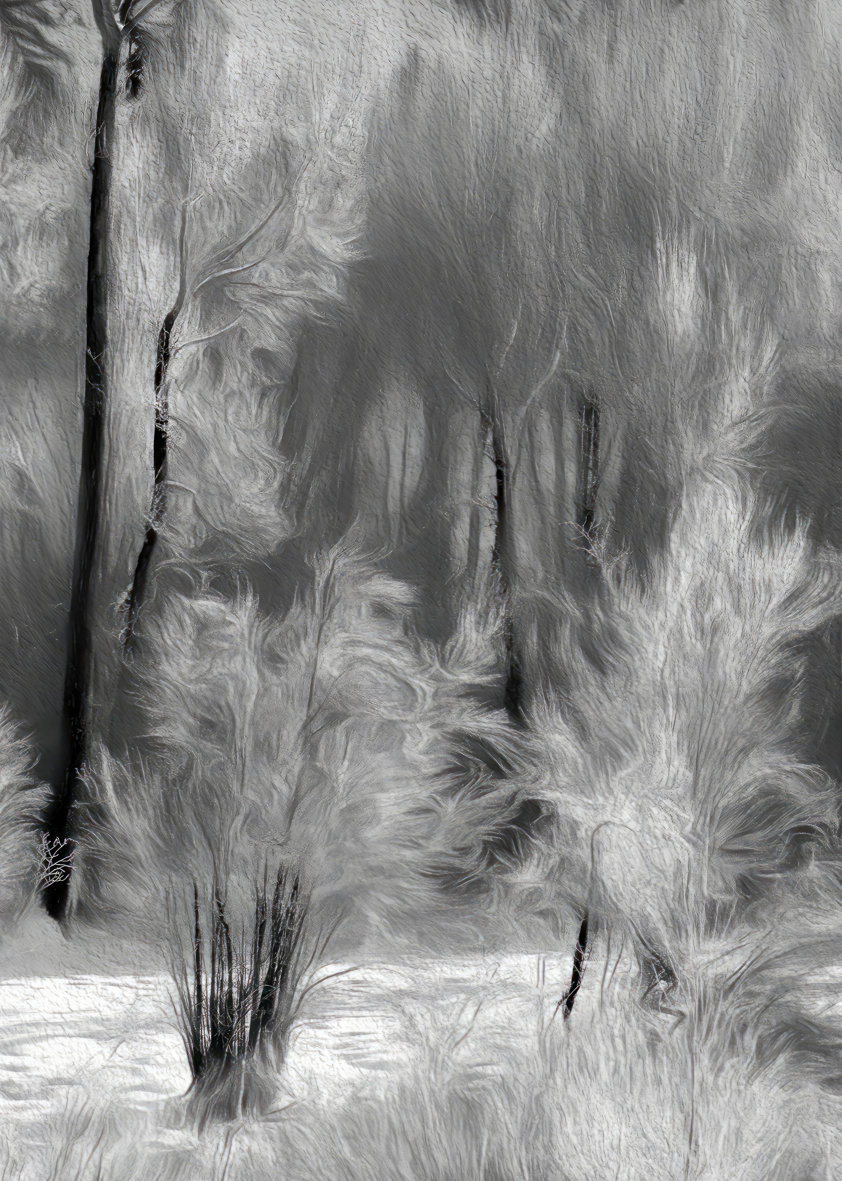
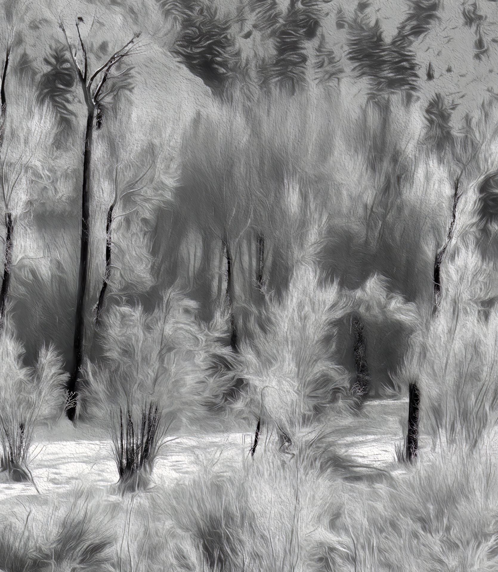
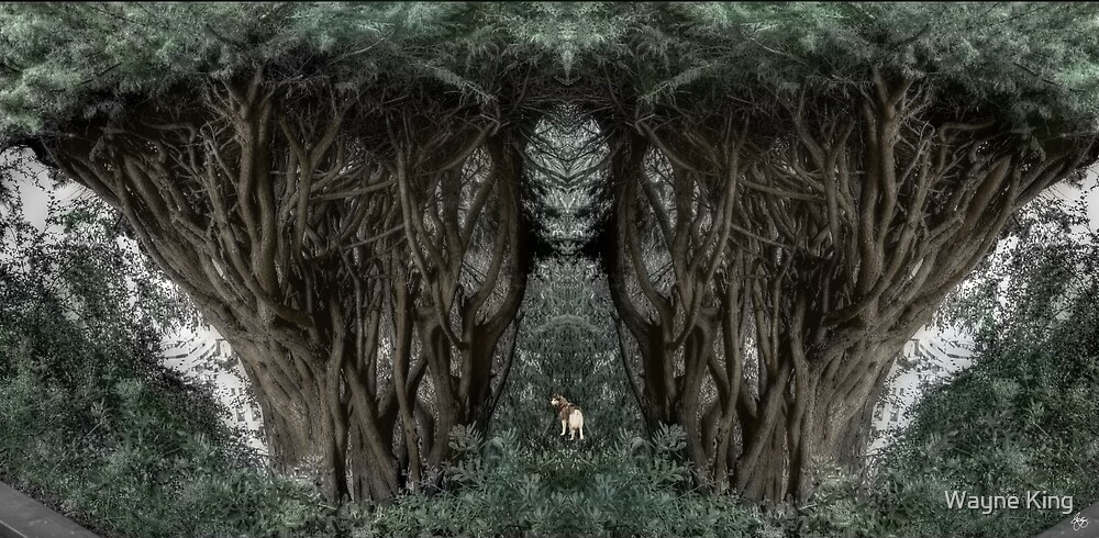
Black Pine in a Green Wood
|

 |
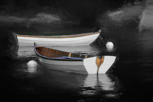
| Rowboat Reflections Beneath a Dells Monolith |


 | |||
New Snow on Hebron Common
|

 | ||
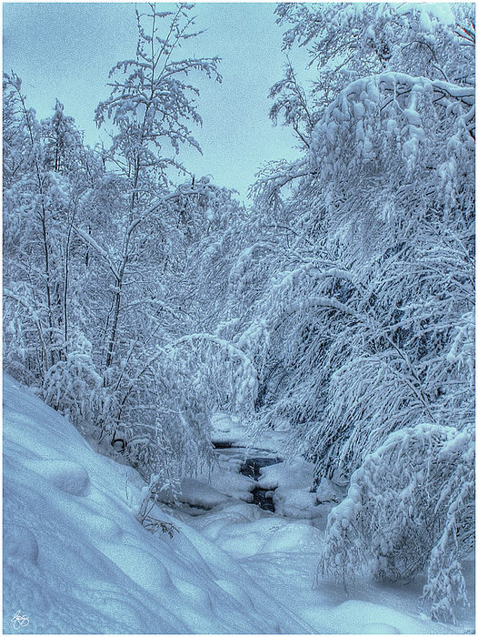
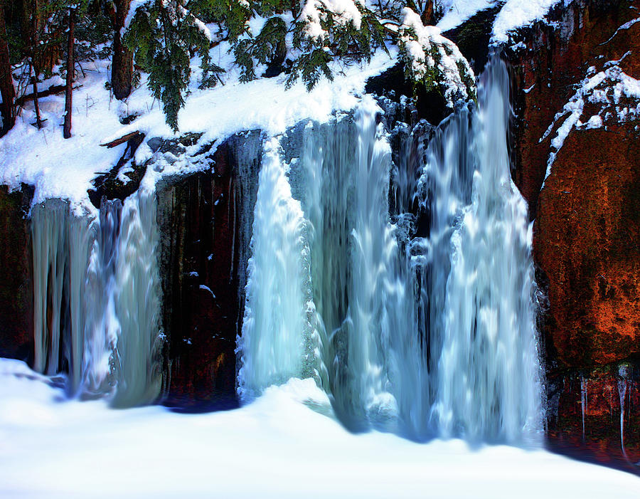
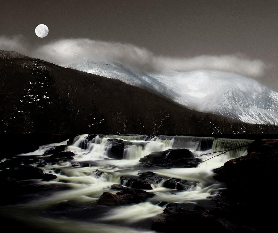
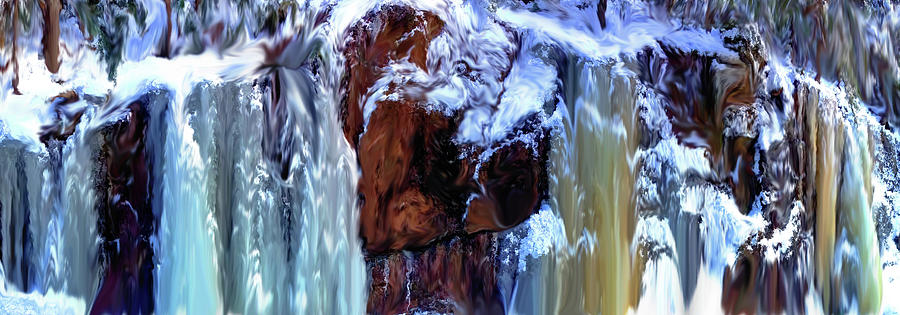
Crawford Notch Cascade
|
 |
| Under the Rainbow |
 |
| Washday, Alton, NH Original Signed Art Open edition |
 |
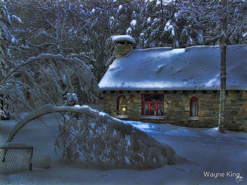
| Moonlight on the Stonehouse Original Signed Art Open edition |
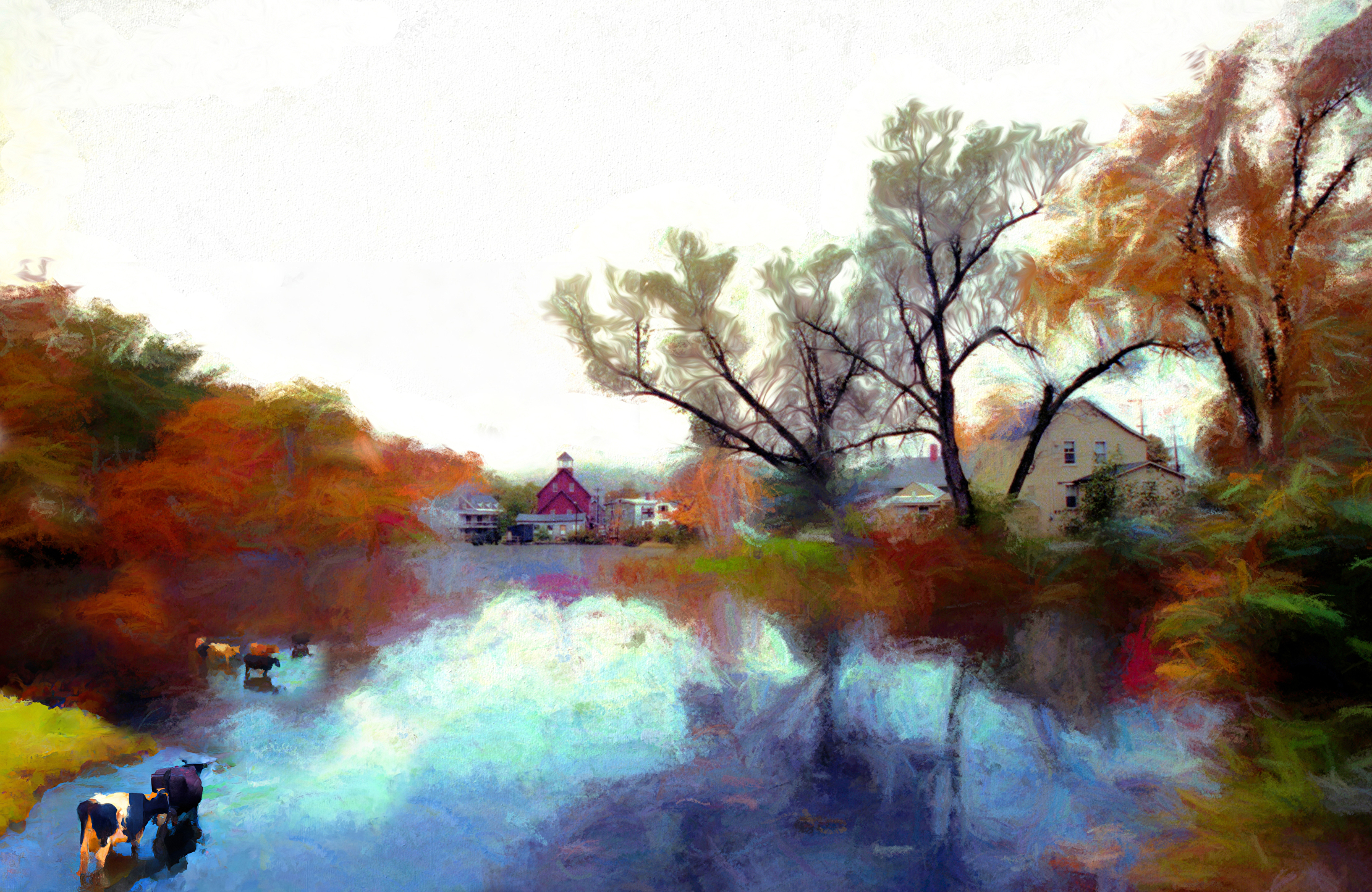 |
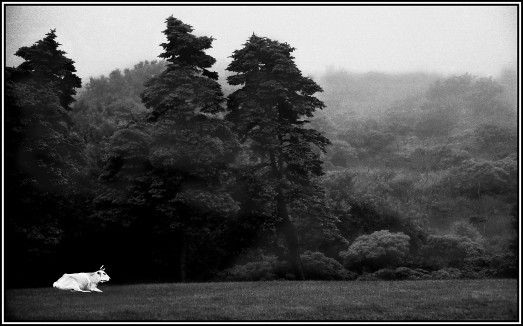
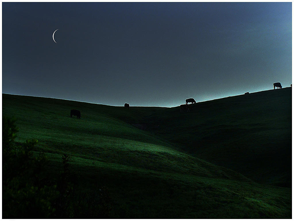
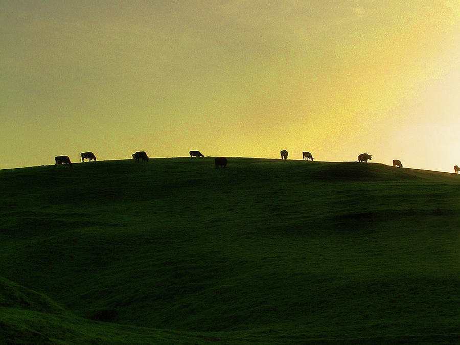
| Till The Cows Come Home Signed Originals Open edition Prints |
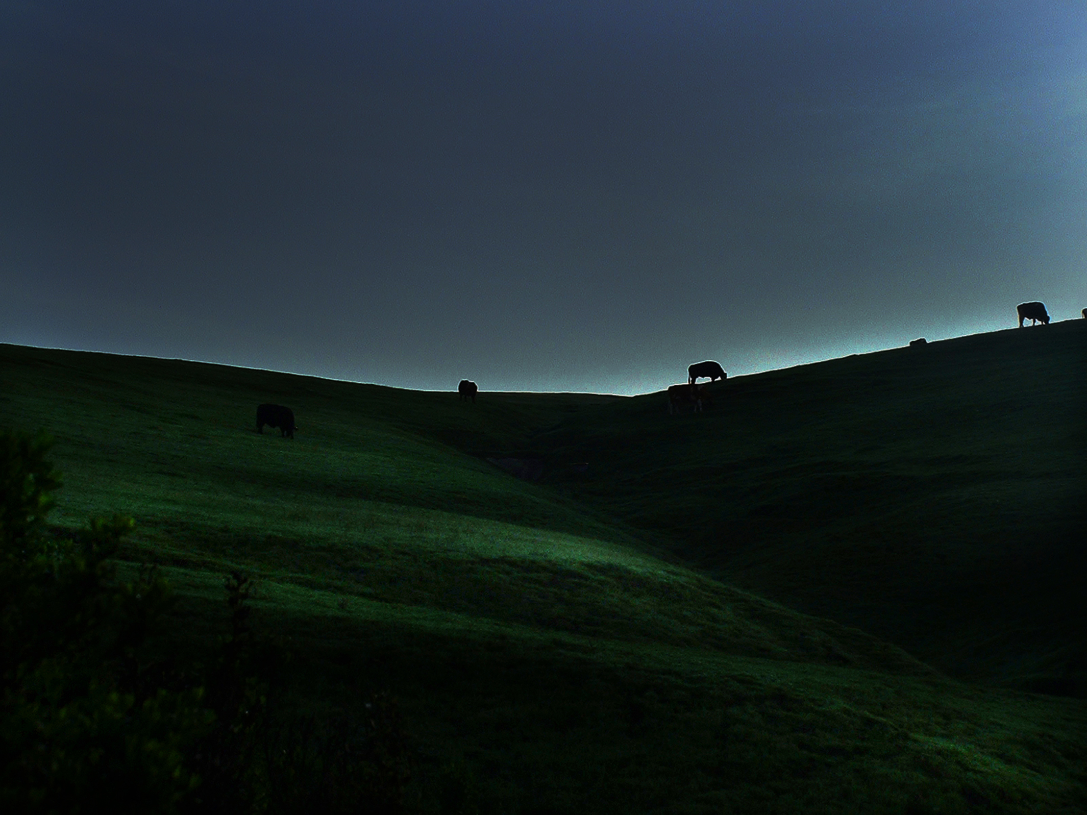 |
| Cows on a Blue Ridge at Dusk Signed Originals Unsigned Open Edition Prints |
 |
| I See the Way Signed Originals Open Edition Prints |
 |
| Wind on the Floodplain Forest Floor Signed Original Prints Open edition Prints |
 |
Spirit Pony in an Old Soul |
 |
| A Quiet Moment on the Vineyard Signed Originals. Unsigned Open Edition Prints |
 |
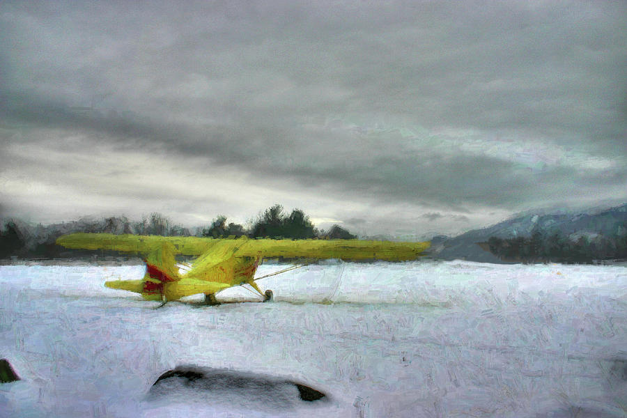
| A Great Day to Fly |
 |
| Neon Windows and Light in an AI Paradigm Original Print. Open edition prints |
 |
| Quiet Footfalls (at Eagle Pond Farm) |
 |
| A Painted Trifecta Signed Originals Unsigned Open Edition Prints |
|
Asehwehweh's Brushstrokes |
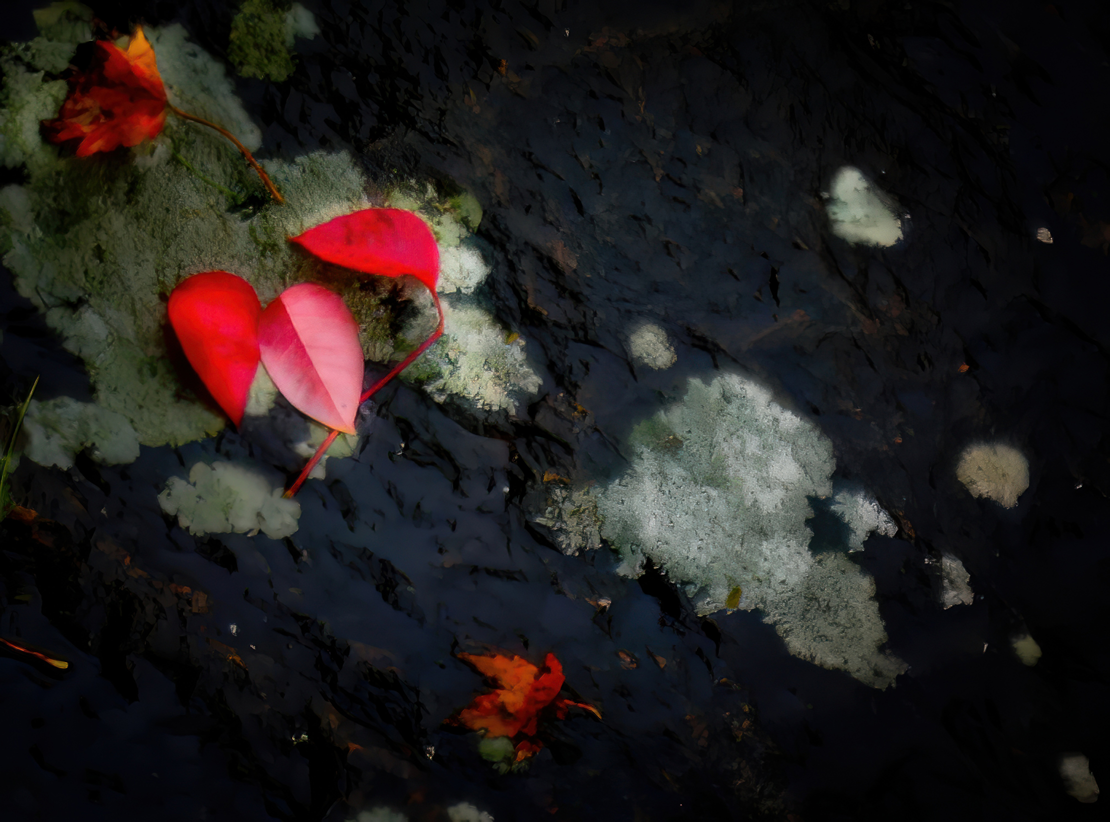 |
| Red Leaves and White Lichen Signed Originals. Unsigned Open Edition Prints |
 |
| Lories Dance |
|
 |
| Softly Spring Emerges |
 |
| Breathless Moment Among the Lupine |
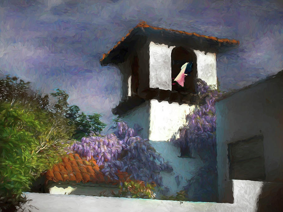 |
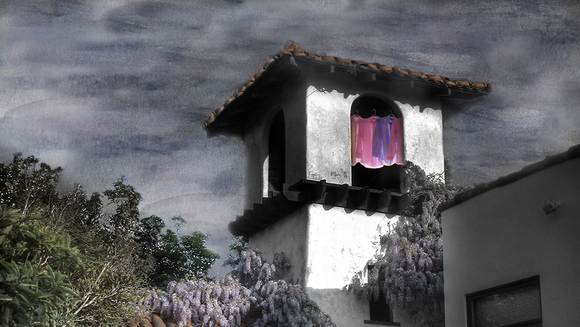
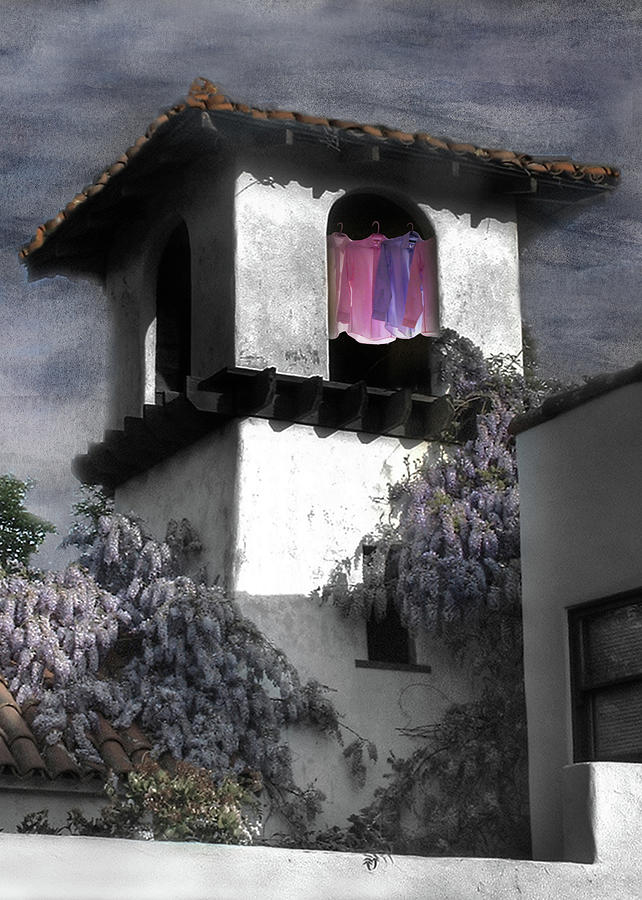
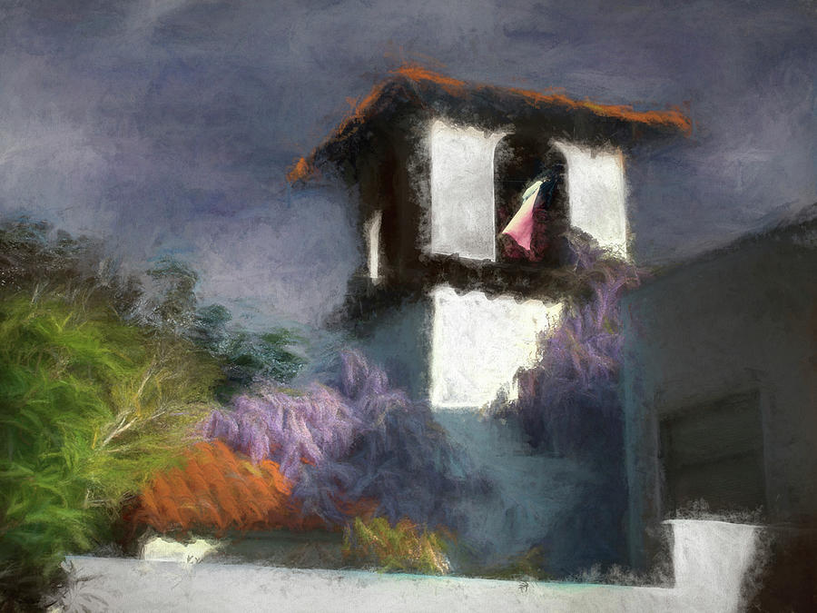
| Painted Washline in a Spanish Tower |
 |
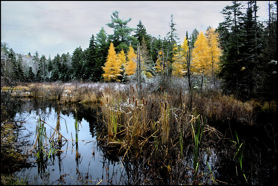
| The Whisper of Tamarack |
 |
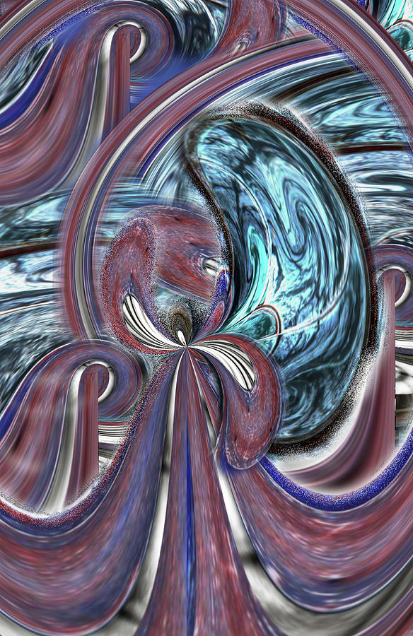
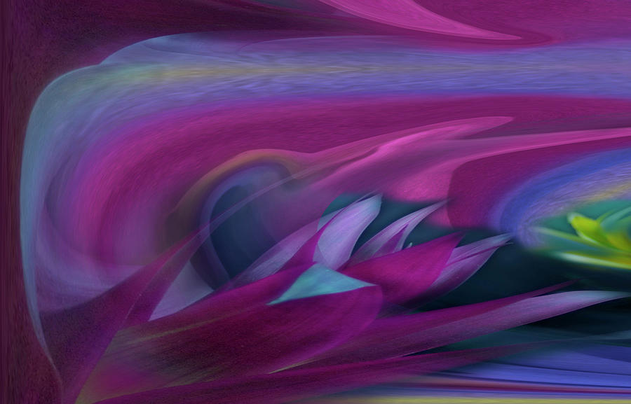
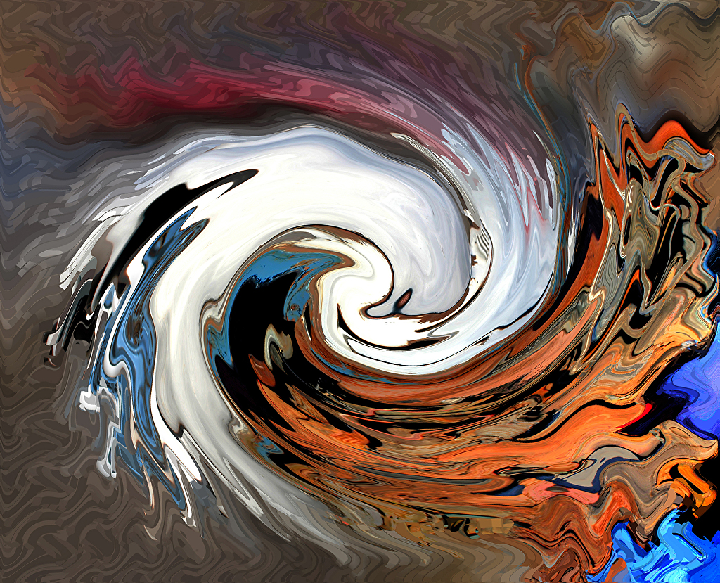
| Reaching into the Vortex |
 |
Ms Rumphius Home in the Lupine |
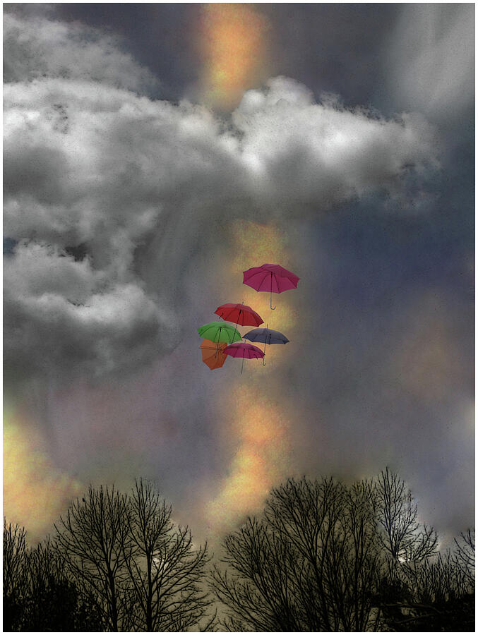 | ||||
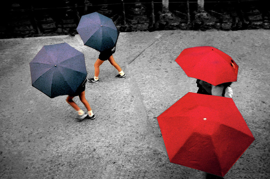
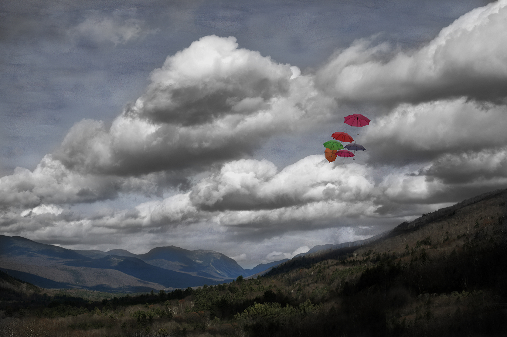
Umbrellas in a Cloudscape
|
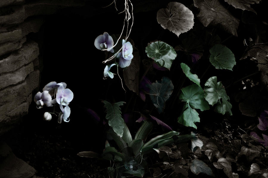 | ||
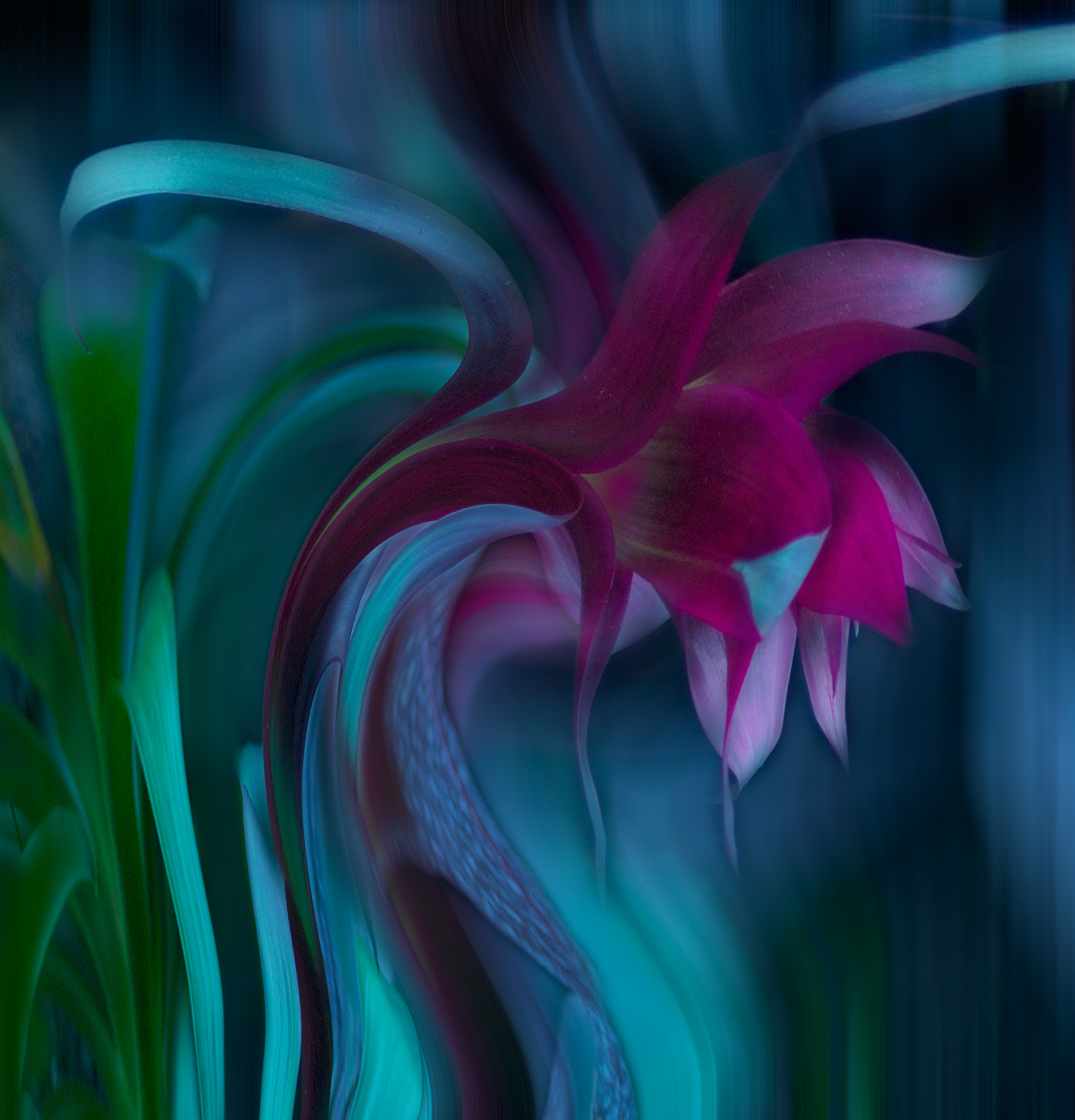
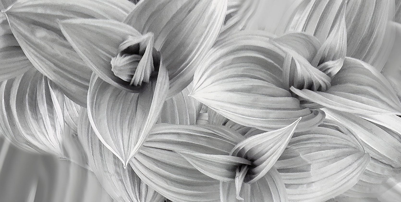
Floating Orchids
|

 |
Ms Rumphius' Symphony No 1 |
 |
| The Pink Blaze |

 |
| Spirit Pony in a Windy Canyon Signed Originals Unsigned Open Edition Prints |
 |
| Morning Sun Impressions |
|
| Floating Orchids |
 |
| Cannon on the Ammonoosuc |
 |
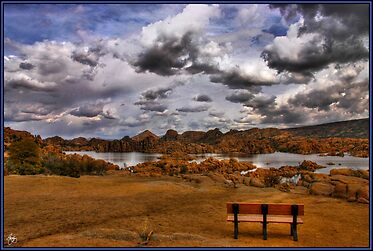
| Dells Bench Panorama |
 |
| Cereus Sunrise |
 |
| Facing Your Fears |
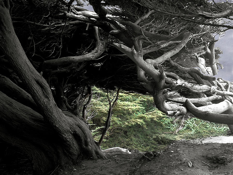 |
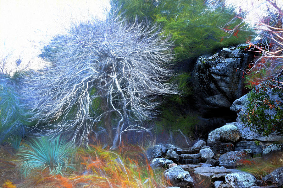
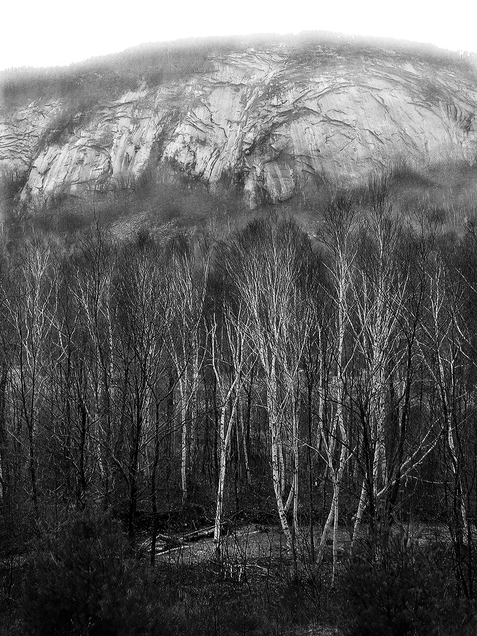
| Cypress Skeleton |
 |
| Mates Monochrome |
 |
| Wonalancet Mindscape Signed Originals Open Edition Prints |
 |
| Finding Our Way Signed Originals Open Edition Prints |
 |
| Spirit Boulder at Livermore Signed Originals Open Edition Prints |
 |
| Esheheman's Breath Signed Originals. Unsigned Open Edition Prints |
 |
| A Rustle of Leaves |
 |
| Giraffe Tripping |
 |
| Grace for the Rain Signed Originals Open Edition Prints |
 |
| Rock on Rock Under a Painted Sky Signed Originals Open Edition Prints |
 |
| Lone Swan in the Arizona Dells Signed Originals Open Edition Prints |
 |
| Spirit Bull in Painted Forest Signed Originals Open Edition Prints |
 |
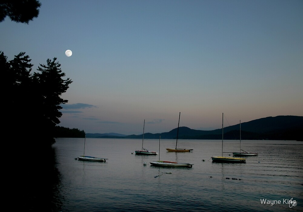
| Moonrise Over Newfound Lake Signed Originals Open Edition Prints |
 |
| The Podcast |
 |
| The Rocker at Eagle Pond Farm Signed Originals. Open edition prints |
 |
| Alice's Paradise Signed Originals Unsigned Open edition prints |
|
| Washday in Accra, Ghana Signed Original Prints. Unsigned Open Edition Prints |
 |
| The Mane and the Mountain Signed Originals. Unsigned Open Edition Prints |
 |
| Cabin in the Lupine |
 |
| I Planted a Garden of Lupine |

 |
| Frosted Leaves Signed Originals. Unsigned Open Edition Prints |
 |
| Paradise Point Dingys |
 |
| 3 Bright Bays in Bristol |
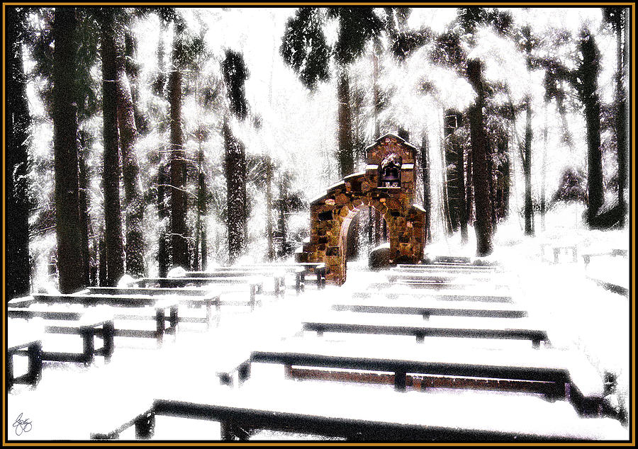 |
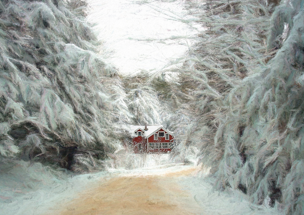
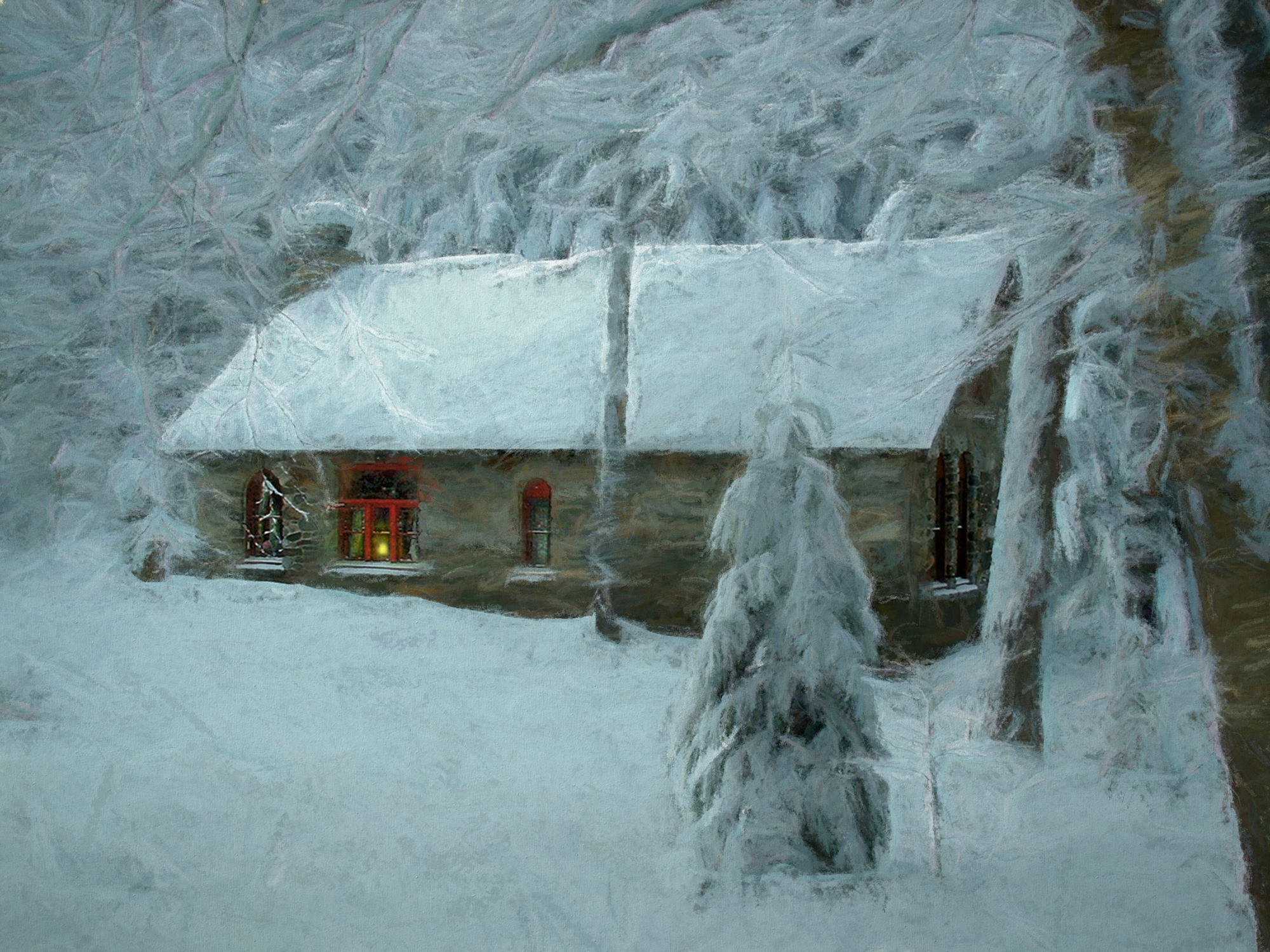
| Chapel of the Woods in Snow |
 |
| A Glow on the Roaring Fork River Signed Originals Open Edition Print |
 |
| Autumn Aflame Signed Originals Open edition prints |
 |
| Secrets of the Patriot Signed Original Open Edition Prints |
 |
| Lupine Chapel on Birch Street Signed Original Open Edition Prints |
 |
| Chapel of the Woods Arch Signed Original Open Edition Prints |
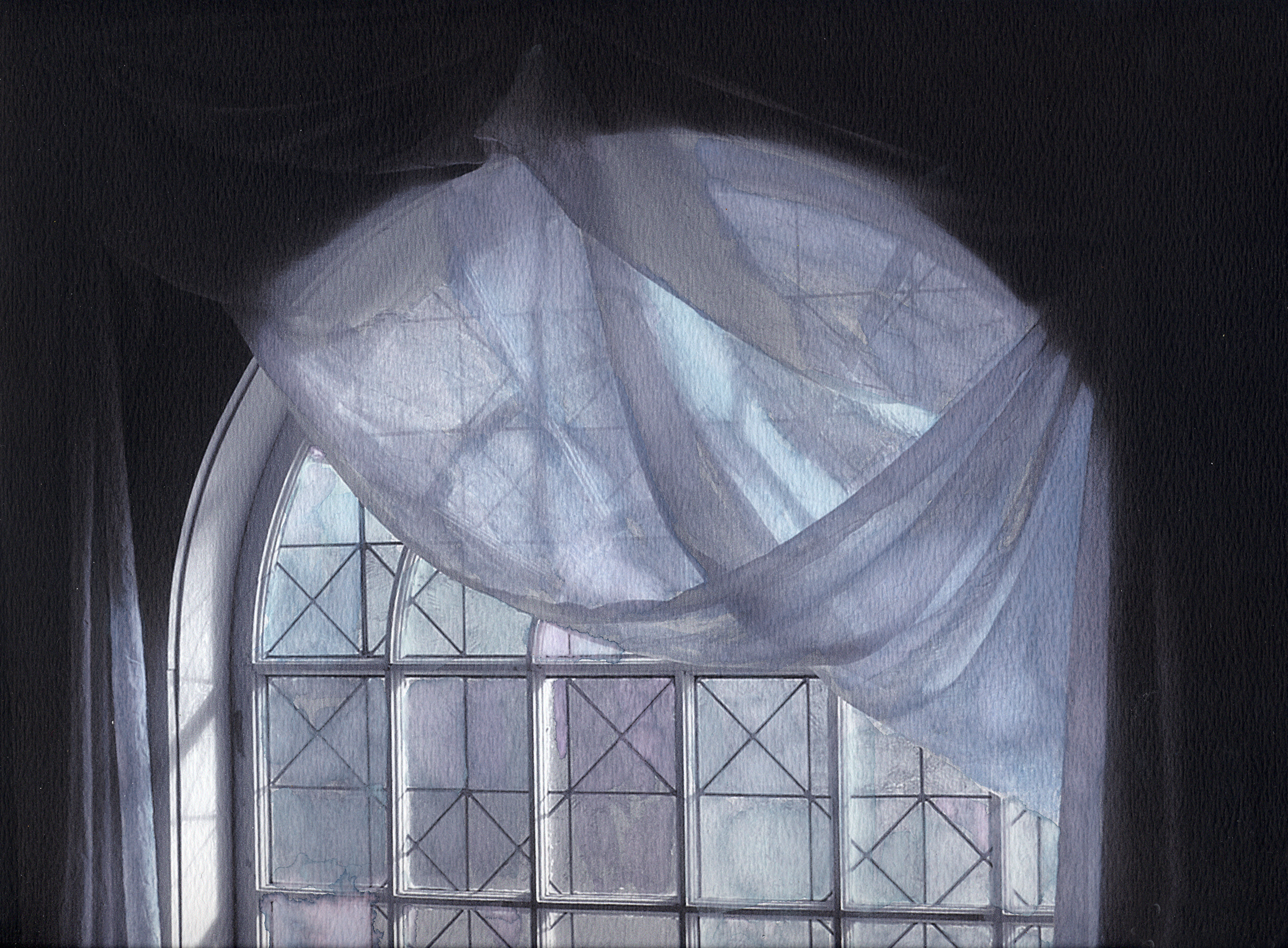 |
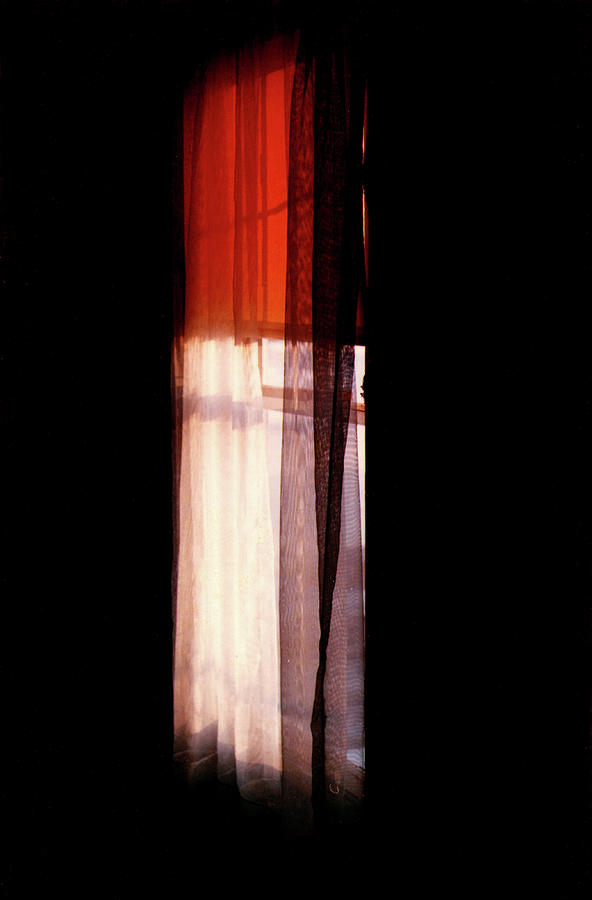
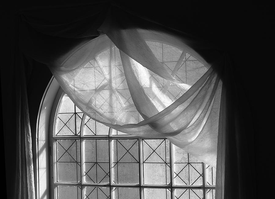
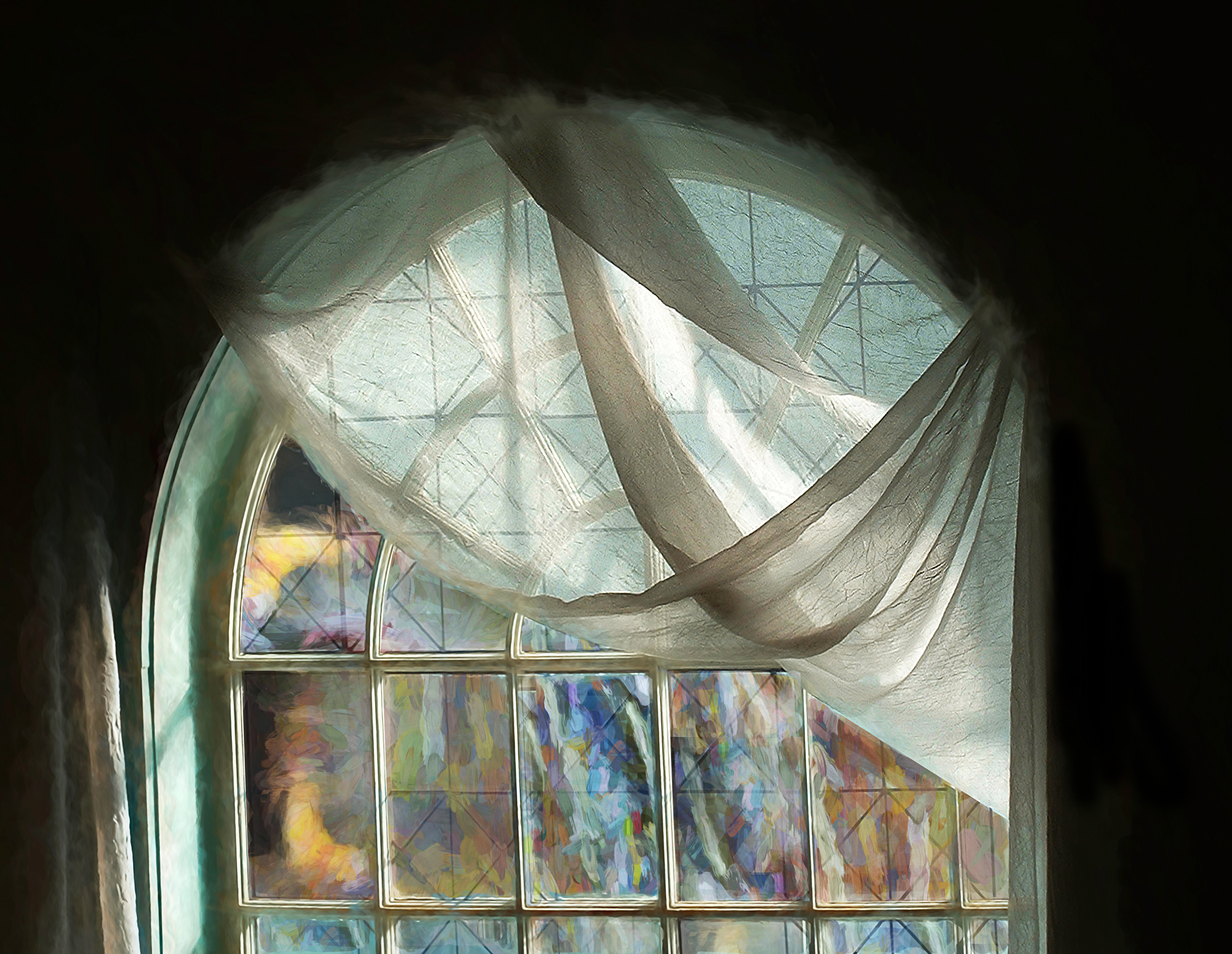
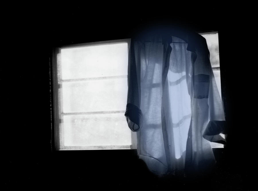
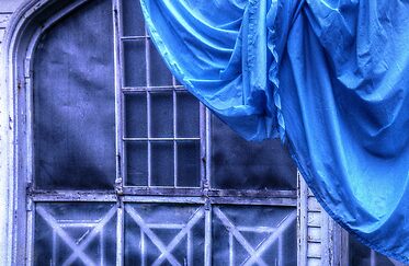
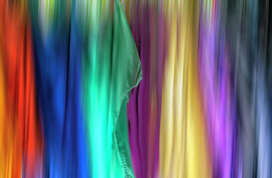
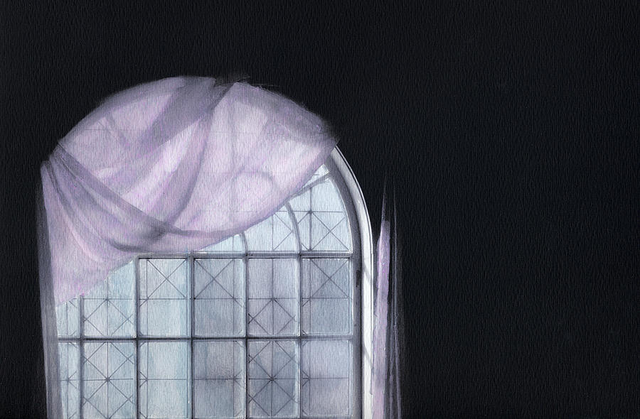
| Blue Curtain in an Arched Window |
 |
| Umbrellas Over Mount Webster Signed Originals. Unsigned Open Edition Prints |
 |
| Umbrellas in the Mist Signed Originals Unsigned Open Edition Prints |
 |
| Warhol's Pond Signed Originals. Unsigned Open Edition Prints |

 |
| Long Shadows on a Spirit Pony Signed Original Open Edition Prints |
 |
| Spirit Pony Grazing under a Stormy Sky Signed Originals Open edition print |
 |
| Dreaming of Summer Signed Originals. Unsigned Open Edition Prints |
 |
| Blurring the Colorline Signed Originals Unsigned Open Edition Prints |
 |
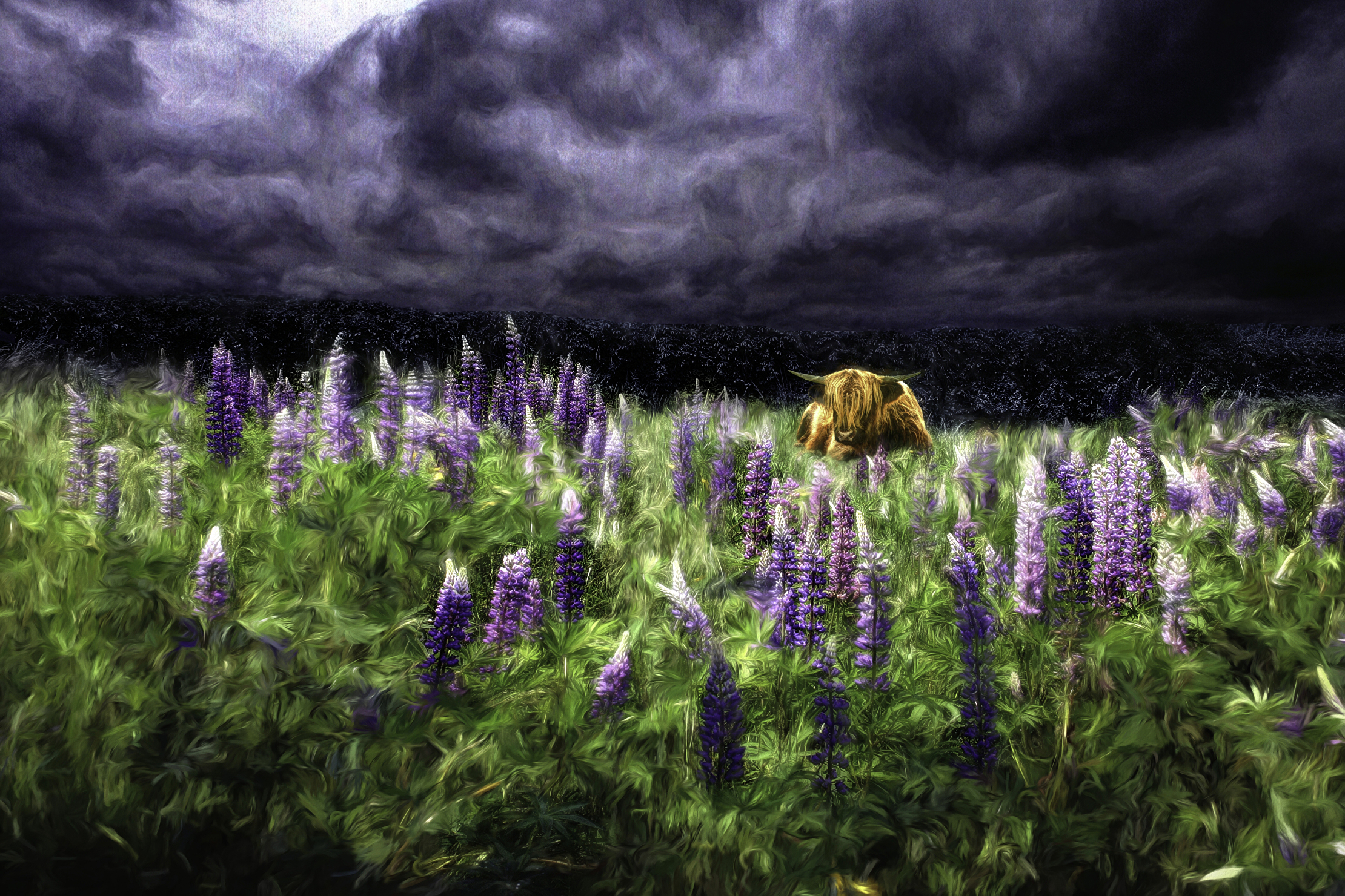
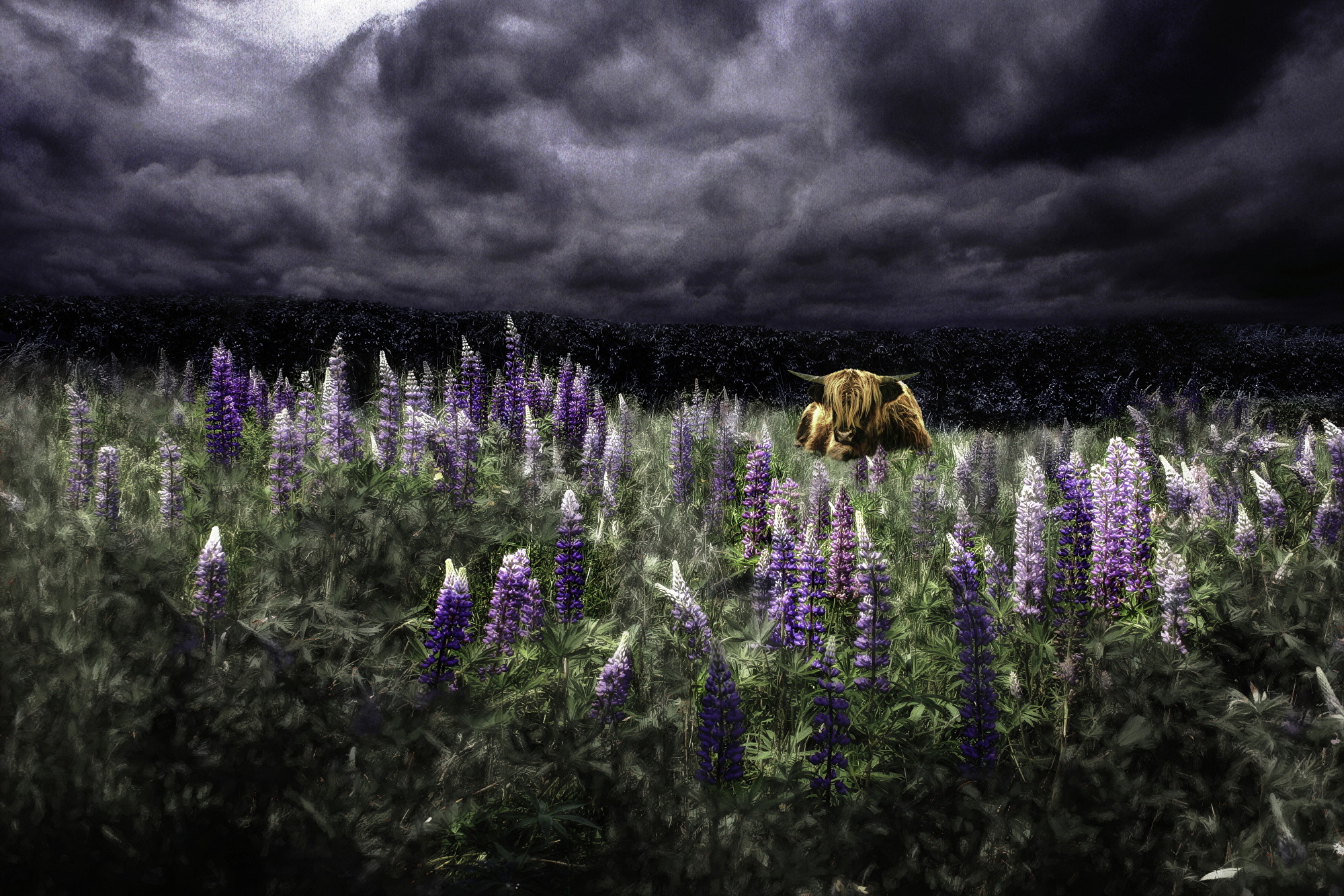
| Highland Storm #1 - Dreams of the Storm Signed Original Edition of 5 Open edition print - unsigned |
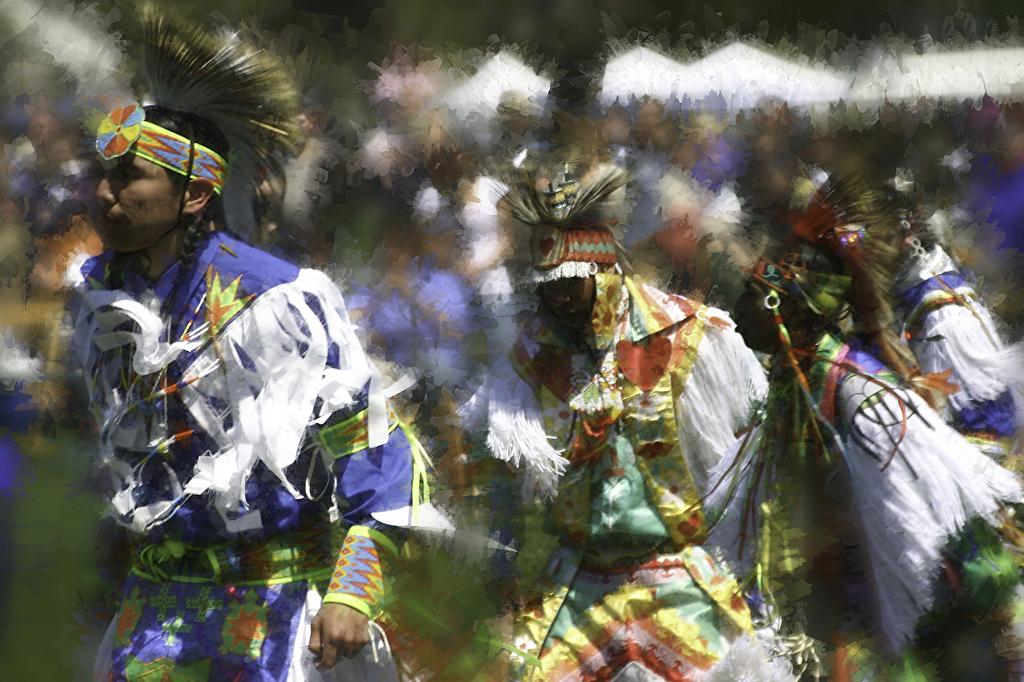 |
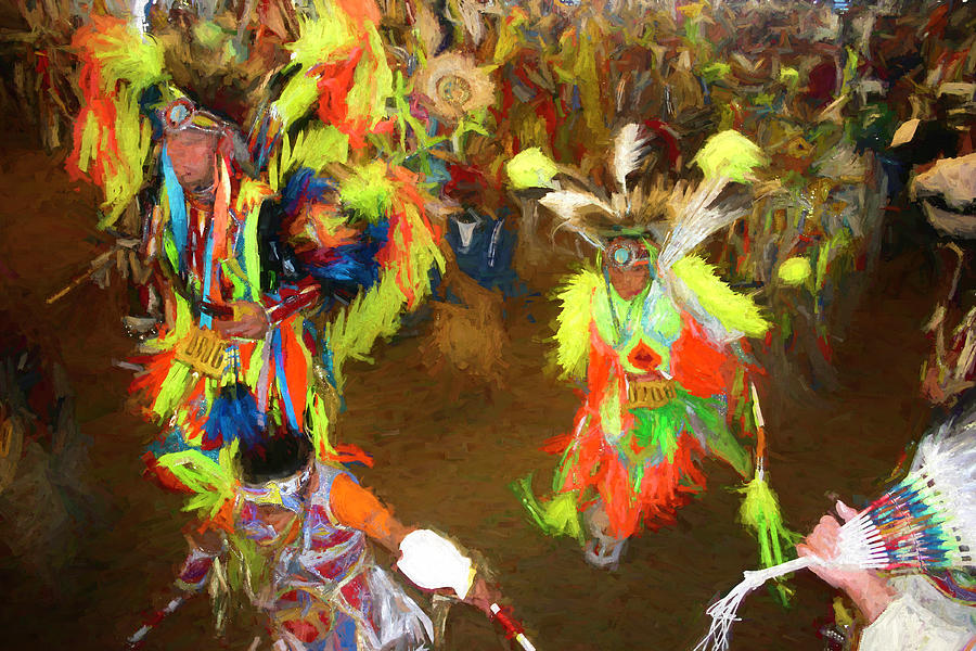
| Flowering of Hope at the Pow Wow Originals Open Edition Prints |
 |
| Hope Follows an Ill Wind Originals Open Edition Prints |
 |
| Spirit Pony in Smarts Brook Snow Signed Originals Open Edition Unsigned Prints |
 |
| Blue Light on Smarts Brook Originals Open Edition Prints |
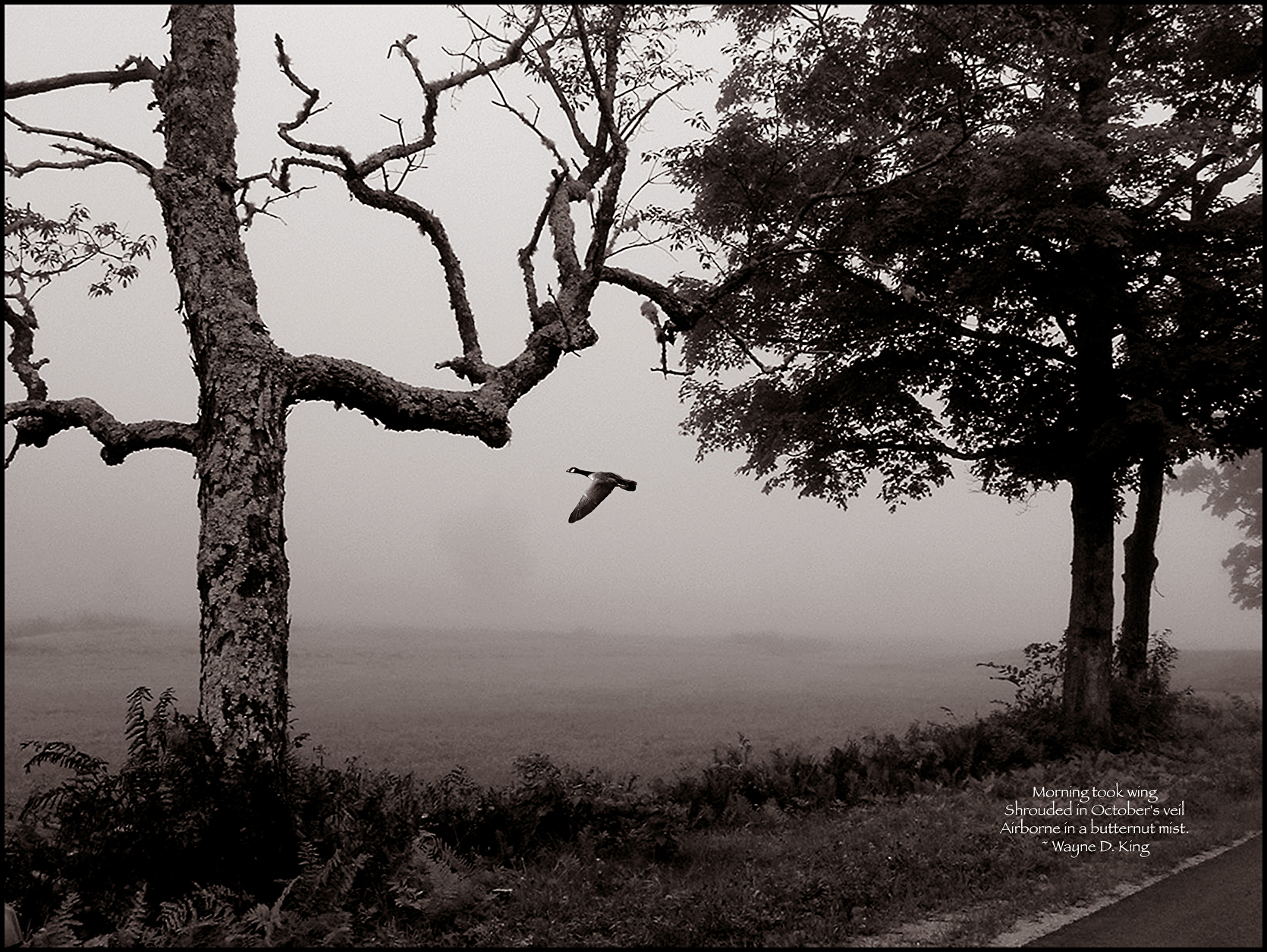 |
| Butternut Mist Originals Open edition Prints |
 |
| Headdress No 3 Original Open Edition Prints |
 |
| The Buffalo Road Originals Open Edition Prints |
 |
Pink Blaze on a Spirit Pony |
 |
| Jefferson's Autumn Adventure Signed Originals Open edition prints |
 |
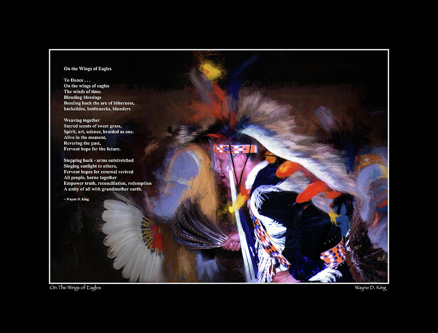
| On the Wings of Eagles |

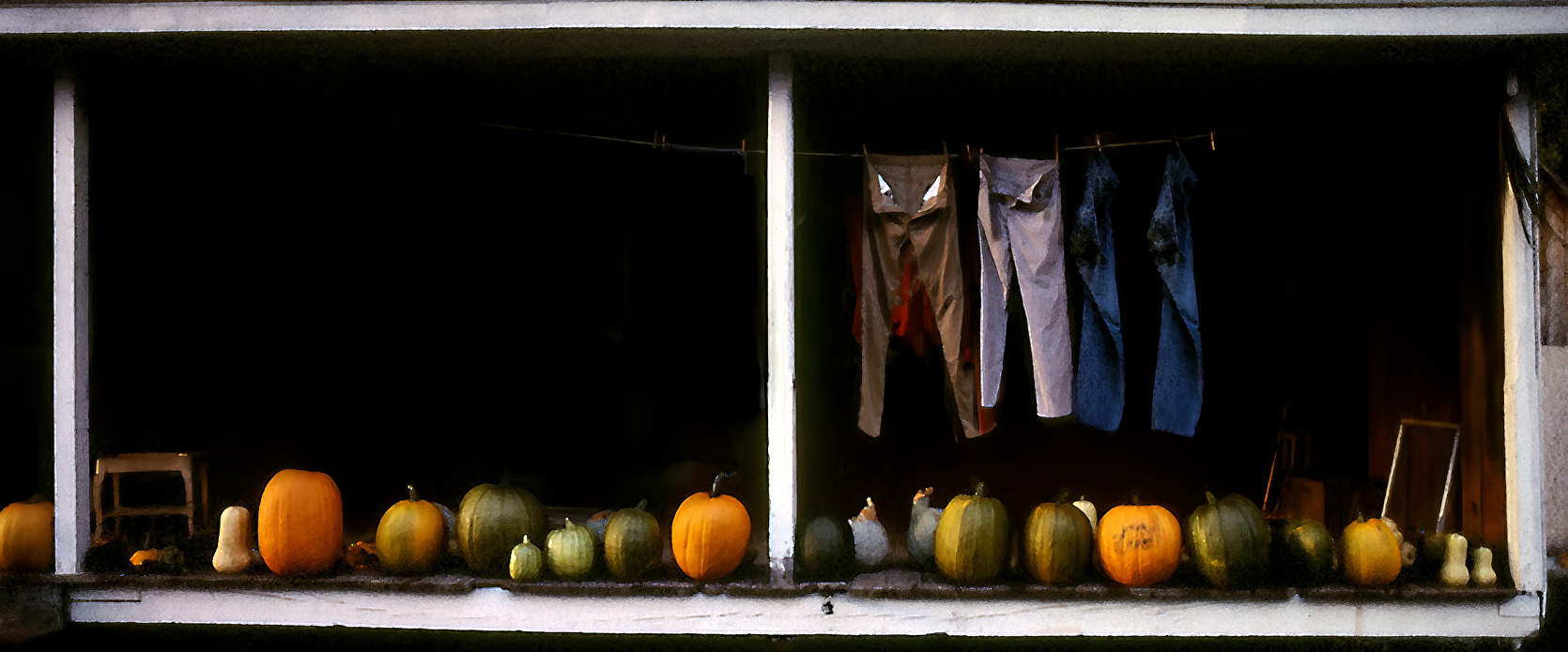 |
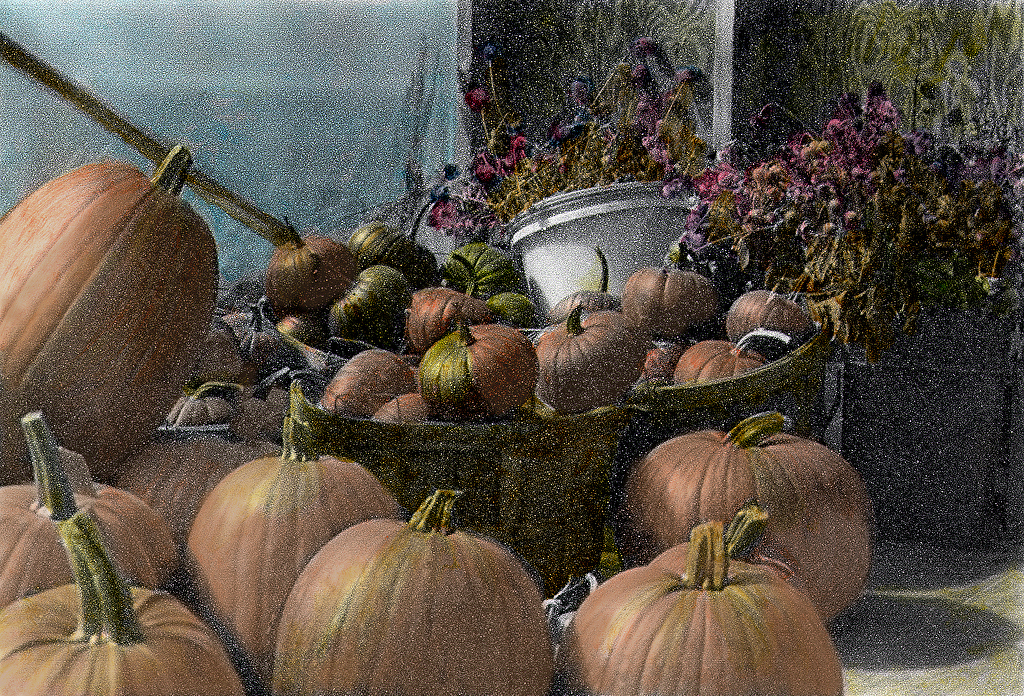
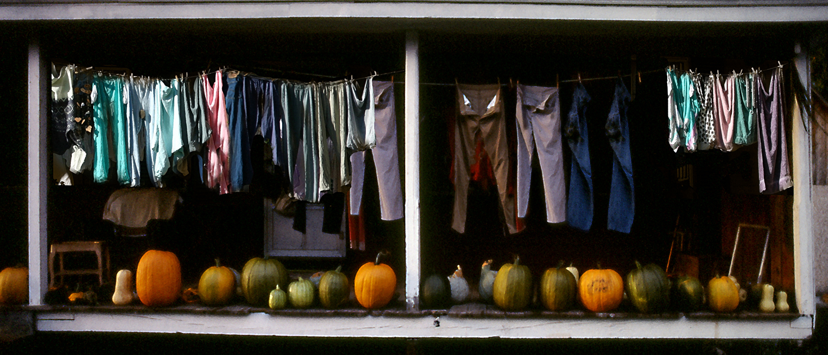
| Pumpkins and Wash Original Open Edition Images |
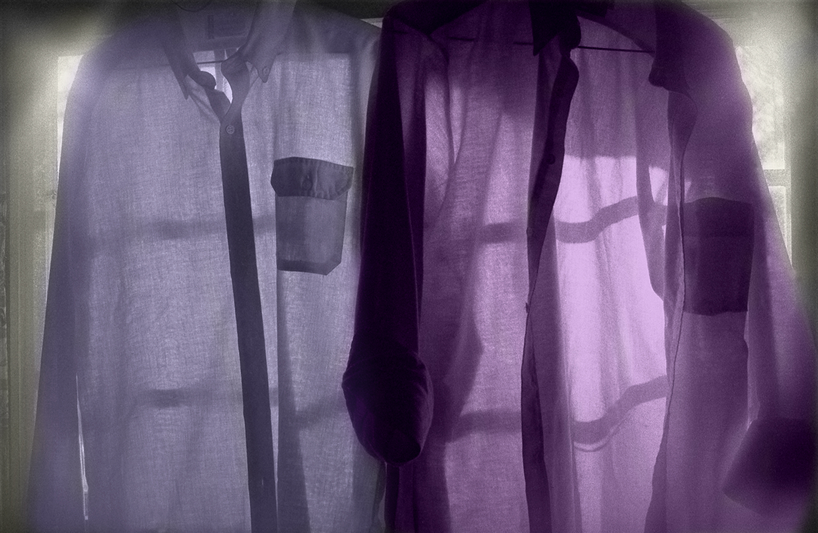 |
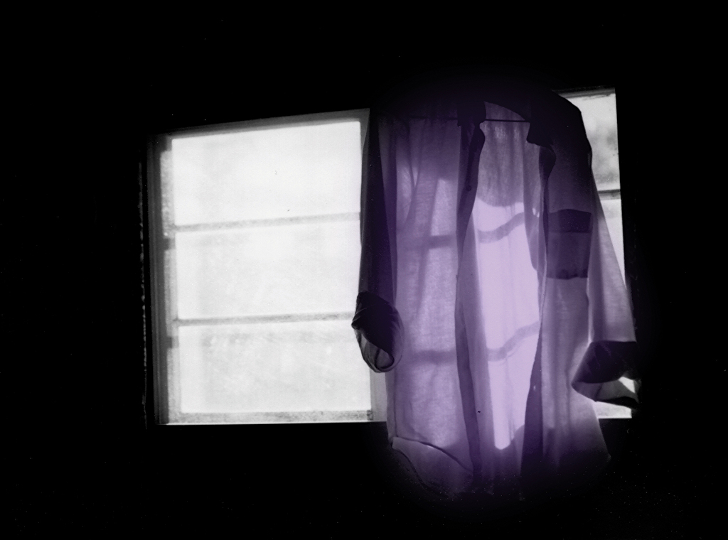
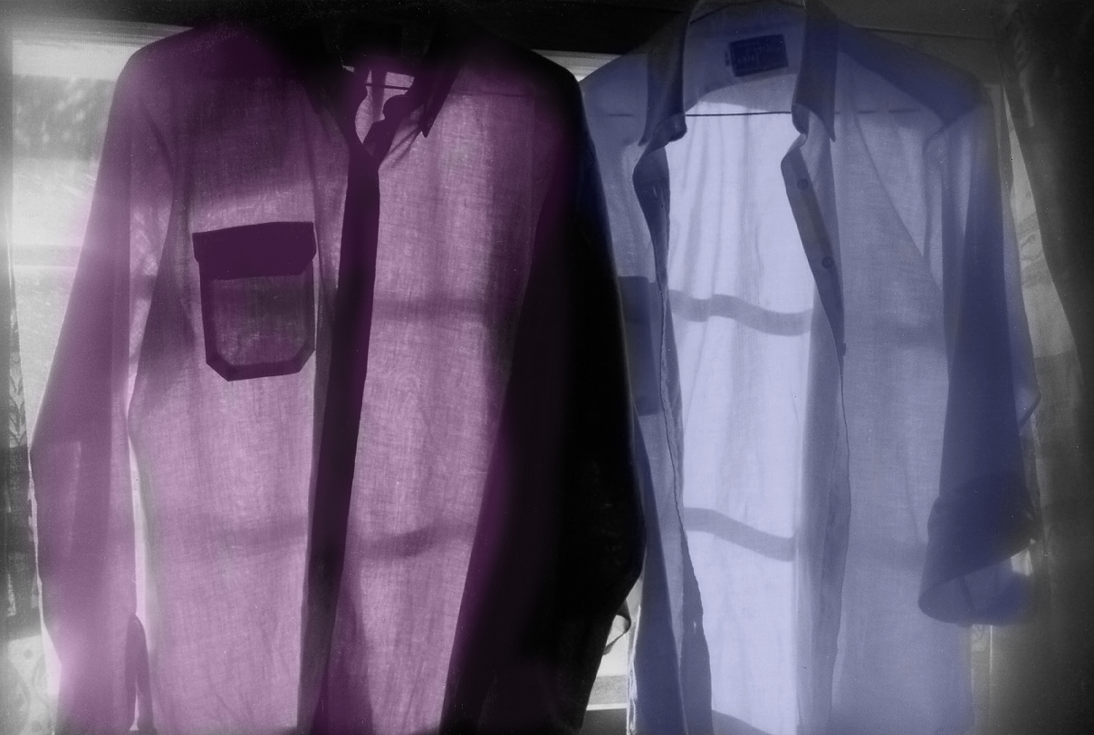
| Purple Shirts in a Window Signed Originals Open Edition |
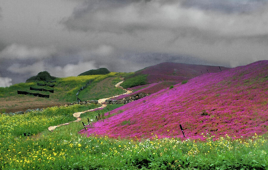 |
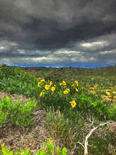
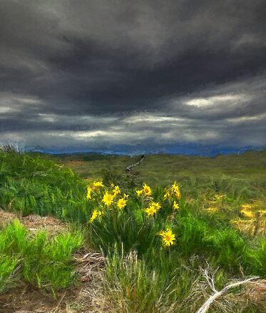
| Clouds above a Purple Field Signed Originals |
 |
| Spirit Pony in a Shrouded Wood Signed Originals. Unsigned Open Edition Prints |
 |
| Wind in the Tower Washline Signed Originals Unsigned Open Edition Prints |

 |
| Life's a Beach Originals Open Edition Prints |
 |
| Painted Headwaters Original Open Edition Prints |
 |
| Blue Flag Impressions Originals Open Edition Prints |
 |
| Highland Storm #2 - Rain on the Lupine Signed Original Edition of 5 Open edition print - unsigned |
 |
| Beebalm Originals Open Edition Prints |
 |
| The Barn at the Bend Originals Open Edition Prints |
 |
| Twice Told Autumn Rain Origs Open Edition Prints |
 |
| Originals Open Edition Prints |
 |
| Dreams Among Jefferson Lupine Signed Originals Open Edition Prints |

 |
| Ode to Renoir in Lupine Signed Original Open Edition Prints |
 |
| Spirit Pony in a Blue Wood Signed Originals Open edition prints |
 |
| White Horse in a Blue Lupine Dream Originals 20"x30" 16"x24" |
Signed Originals Open edition prints
 Whispering Pines in the Chapel of the Woods
Signed Originals Open edition prints
 |
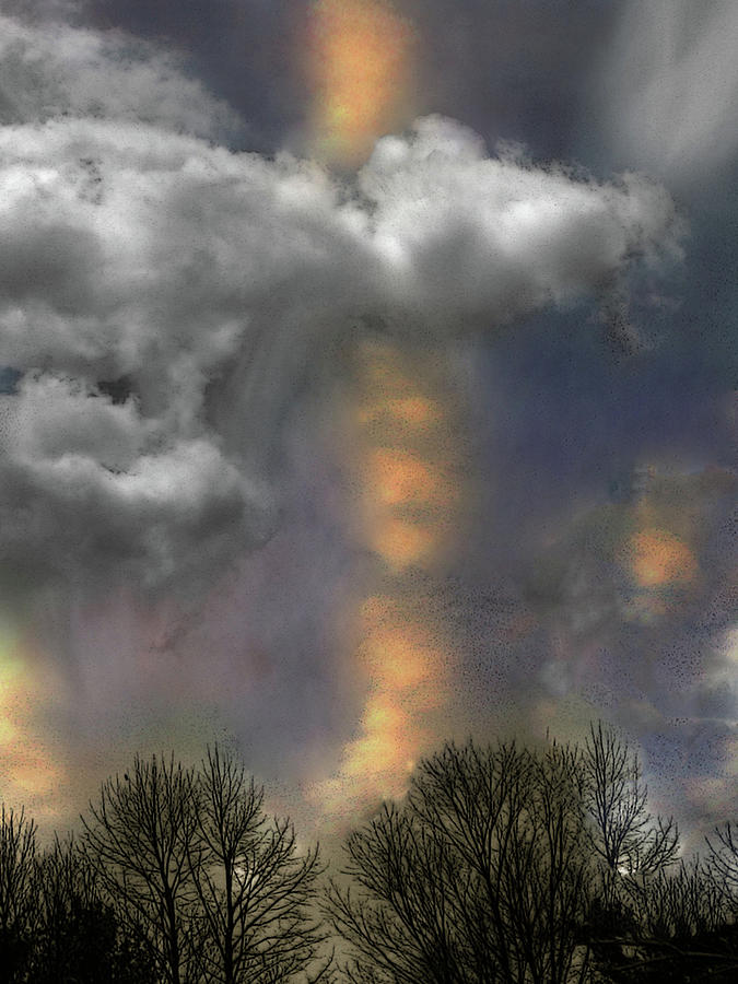
| The Eye of the Storm in Ice Signed Originals Unsigned Open Edition Prints |
 |
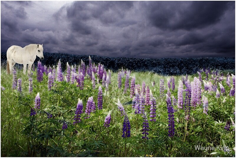
| White Horse in a Lupine Storm Signed Originals. Unsigned Open Edition Prints |
 |
| Lupine Wind in a Bird's Paradise Originals. Open Edition Prints |
 |
| Ode to Lotte Jacobi Signed Originals. Unsigned Open Edition Prints |
 |
| Lake Watson Mindscape Signed Originals. Unsigned Open Edition Prints |
 |
| Southwestern Ode to Pollack Signed Originals. Unsigned Open Edition Prints |
 |
| Sacred Light in the Bungay Jar Garden Signed Originals. Unsigned Open Edition Prints |
 |
| Bend in the Baker Monochrome Signed Original Prints. Open Edition Prints |
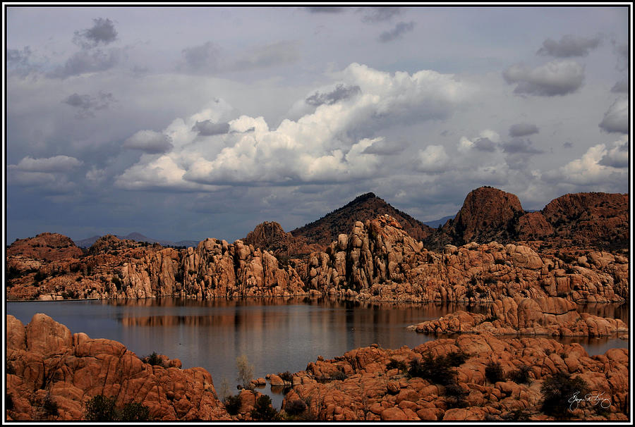 |
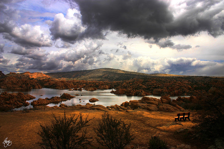
| Lake Watson Panorama, Prescott AZ Signed Originals. Unsigned Open Edition Prints |
 |
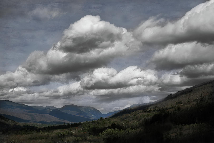
| Colors Over Franconia Notch |
 |
| Conflagration on Long Pond Road Signed Originals Unsigned Open Edition Prints |
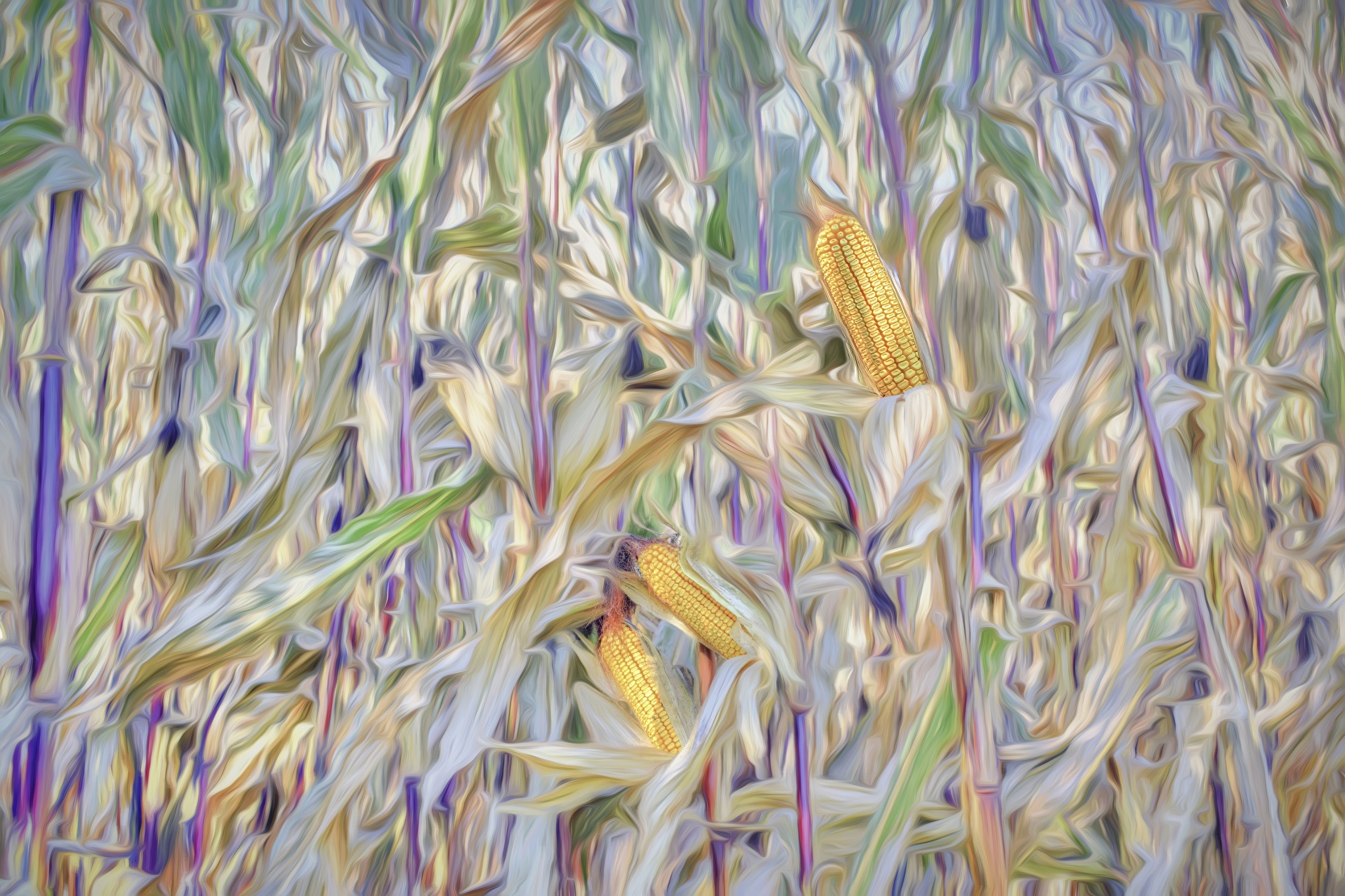 |
| Corn Washout |
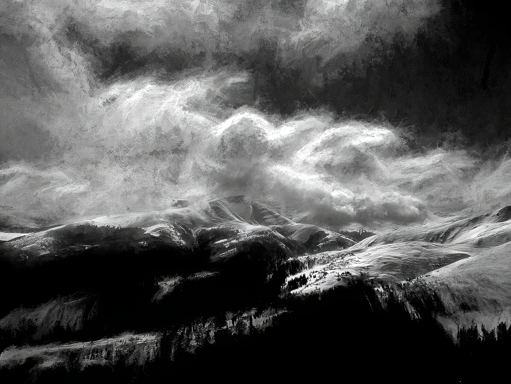 |
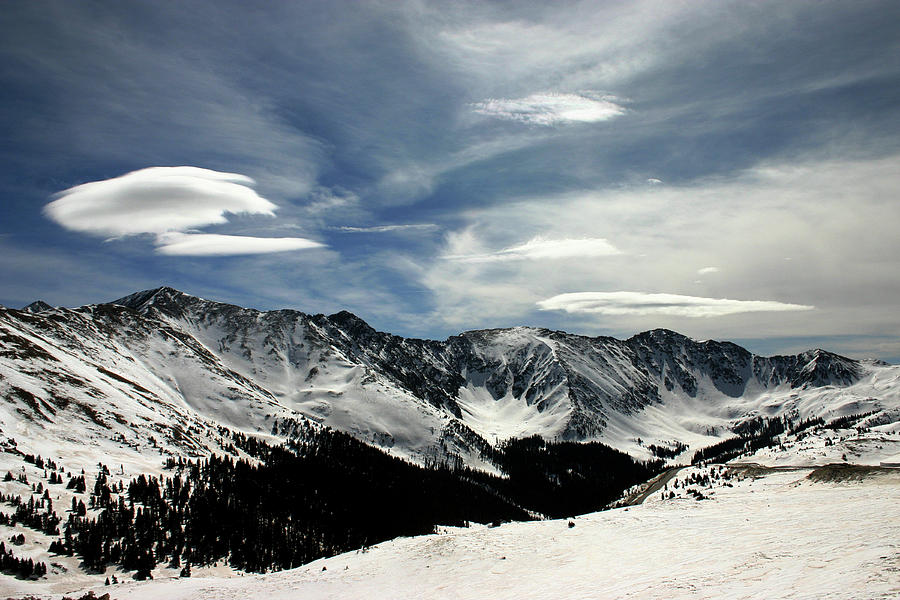
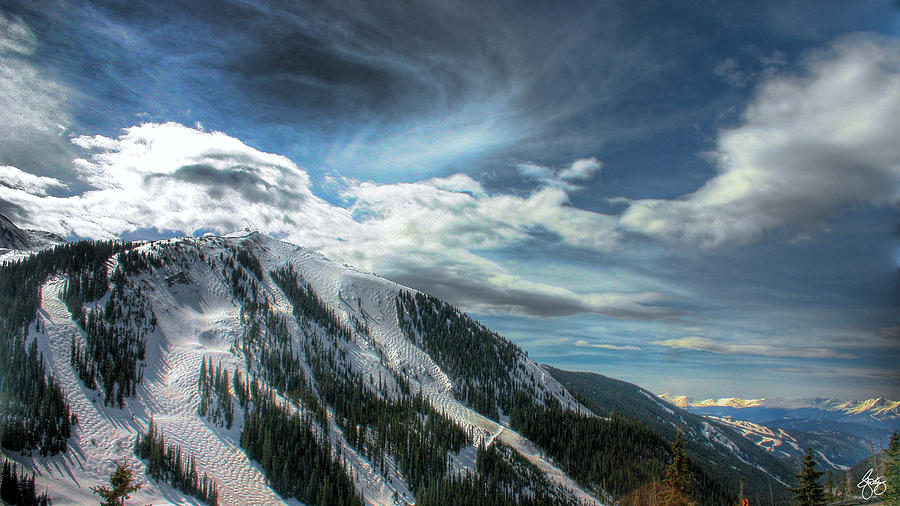
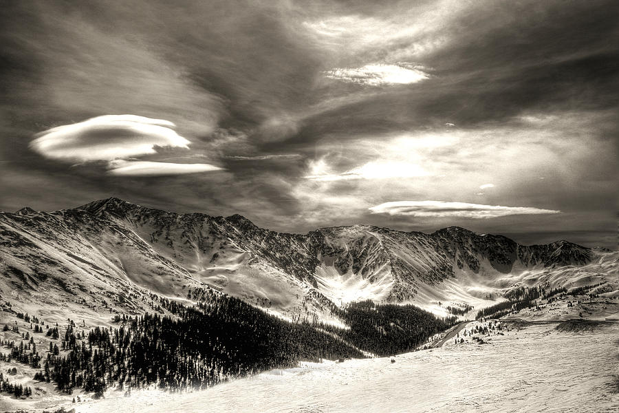
| Winter Wind on Breckenridge |
 |
| Calabar Boats Monochrome Originals Open Edition Prints |
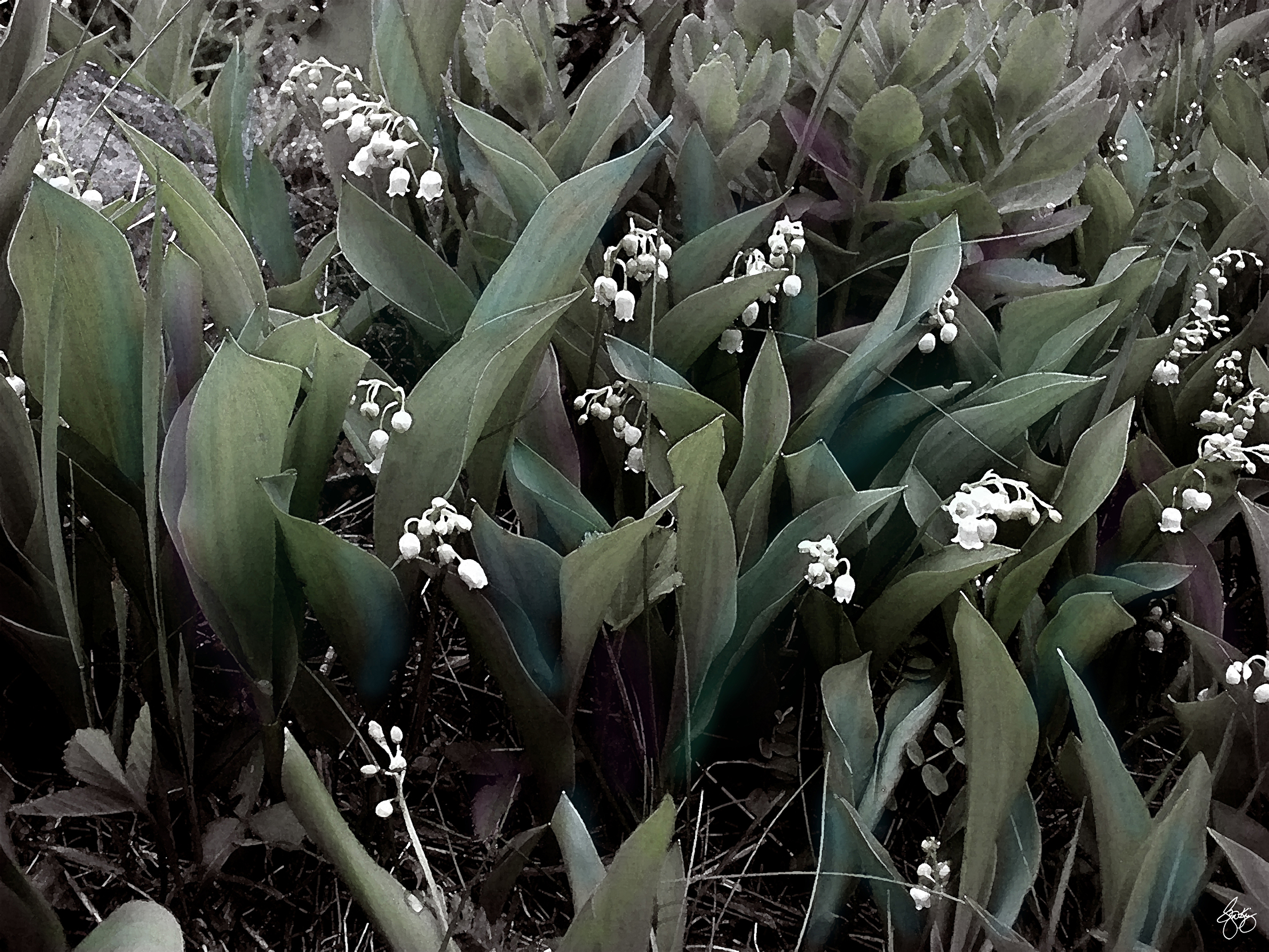 |
| Lilies of the Valley 2 Signed Original Prints Open Edition Prints |
 |
| The Highlander's Spirit Originals Open Edition Prints |
 |
 |
| Cornflower Dreams Mindscape No 1 Signed Original (1/1) Open edition Prints |
 |
| Ghost Train in an Existential Storm Signed Originals Open Edition Prints |
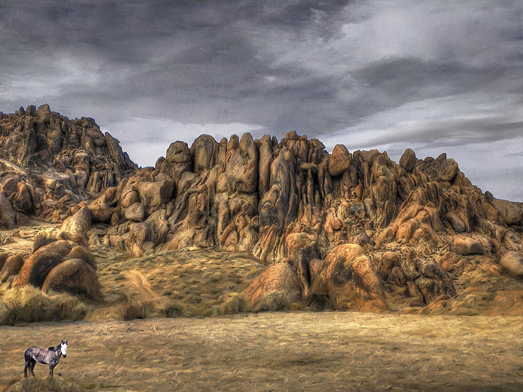 |
| Spirit Pony in the Alabama Hills Signed Originals. Unsigned Open Edition Prints |
 |
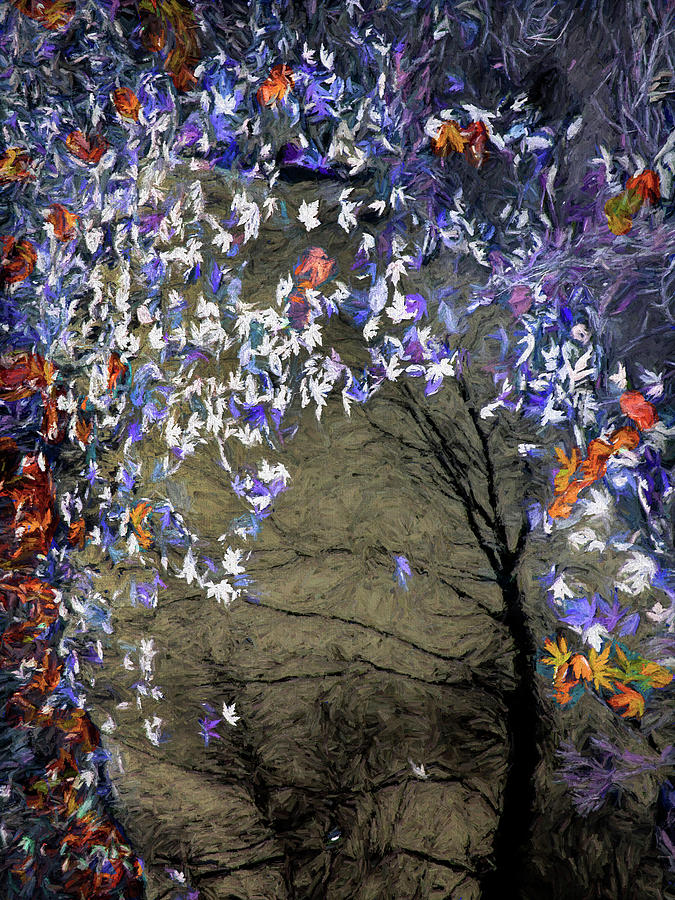
| Crimson Spring |


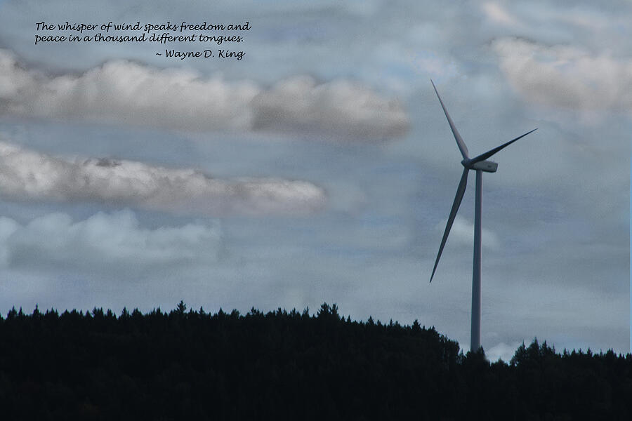 |
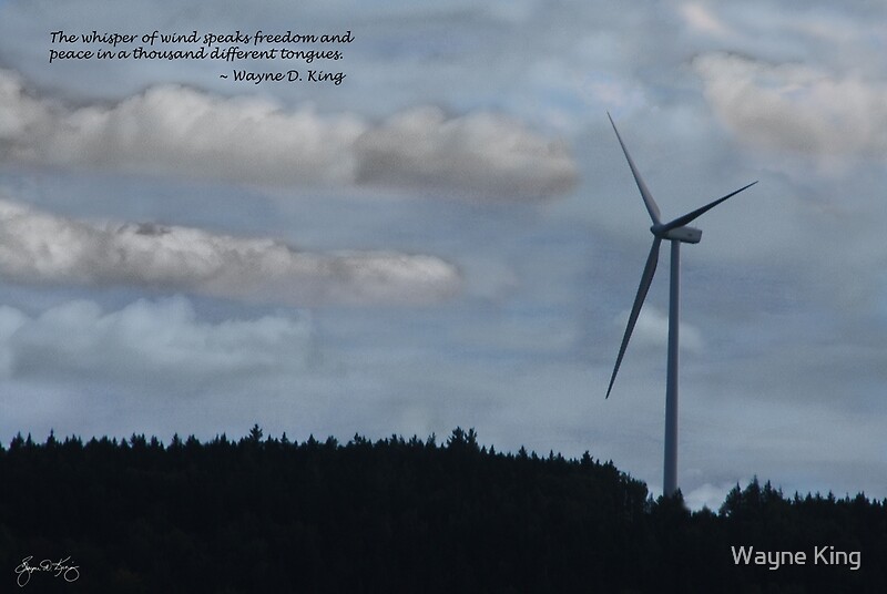
| The Whisper of Wind |
 |
| The Passage of Time Signed Originals Unsigned Open Edition Prints |
 |
| Flight of Gold Signed Originals Unsigned Open Edition Prints |
 |
 |
| The Hitching Post Lilac Signed Originals Unsigned Open Edition Prints |
 |
| Rushing Fall Original Open Edition Prints |
 |
| The Gathering Day Signed Originals. Unsigned Open Edition Prints |

 |
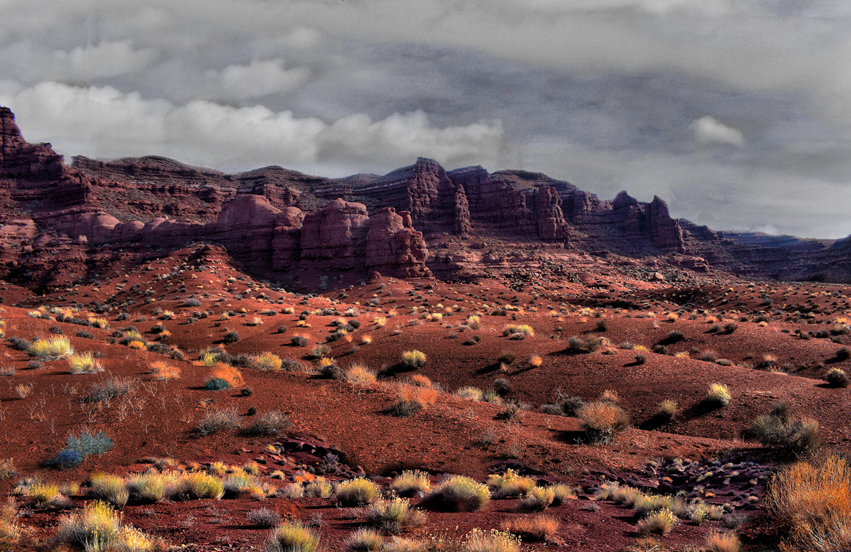
| Painted Skies Over Petrified Dunes Signed Originals. Unsigned Open Edition Prints |
 |
| A Storm at Cottonwood End - Originals |
 |
| The Door to Carol and Ricks Washline Original |

 |
| Newfound Rendezvous Impressions Originals Open edition prints |
 |
| Oliverian Spring Originals Open Edition Prints |
 |
| I Dreamt a Field of Lupine Originals Open Edition Prints |
 |
 |
| Alton Washday Poster |
 |
 |
Ode to Wynn Bullock |
 |
 |
Spirit Pony in a Franconia Dusk |
 |
| Spirit Pony in the Lupine |
 |
| Dusk on the Franconia Range Signed Originals Unsigned Open Edition Prints |
 |
| Glory, Glory Gloriosa Signed Originals. Unsigned Open Edition Prints |

 |
 |
| Highland Storm #3 - The Etherial Lupine |
 |
| Apple in Autumn |
 |
| Renoir's Storm - Highland Storm 6 Signed Originals. Open edition prints |
 |
| The Scamman Farm Signed Originals. Unsigned Open Edition Prints |


Holiday 2022 Popup


 |
| Maple Moon Mindscape - Open Edition |
 |
| A Door of Many Colors - Open Edition |
 |
 |
| Speak to the Sky Signed Originals. Unsigned Open Edition Prints |
 |
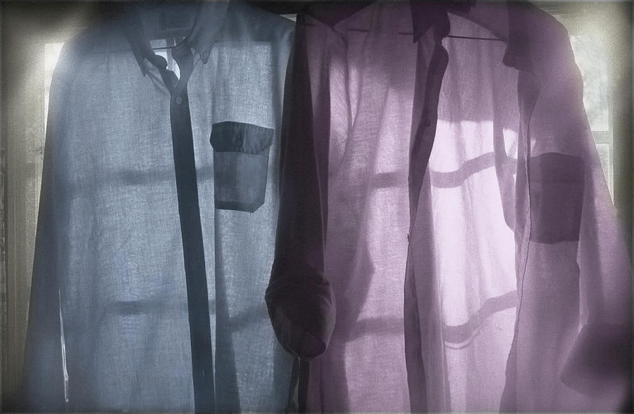
| The Blue Shirt Signed Originals. Unsigned Open Edition Prints |
 |
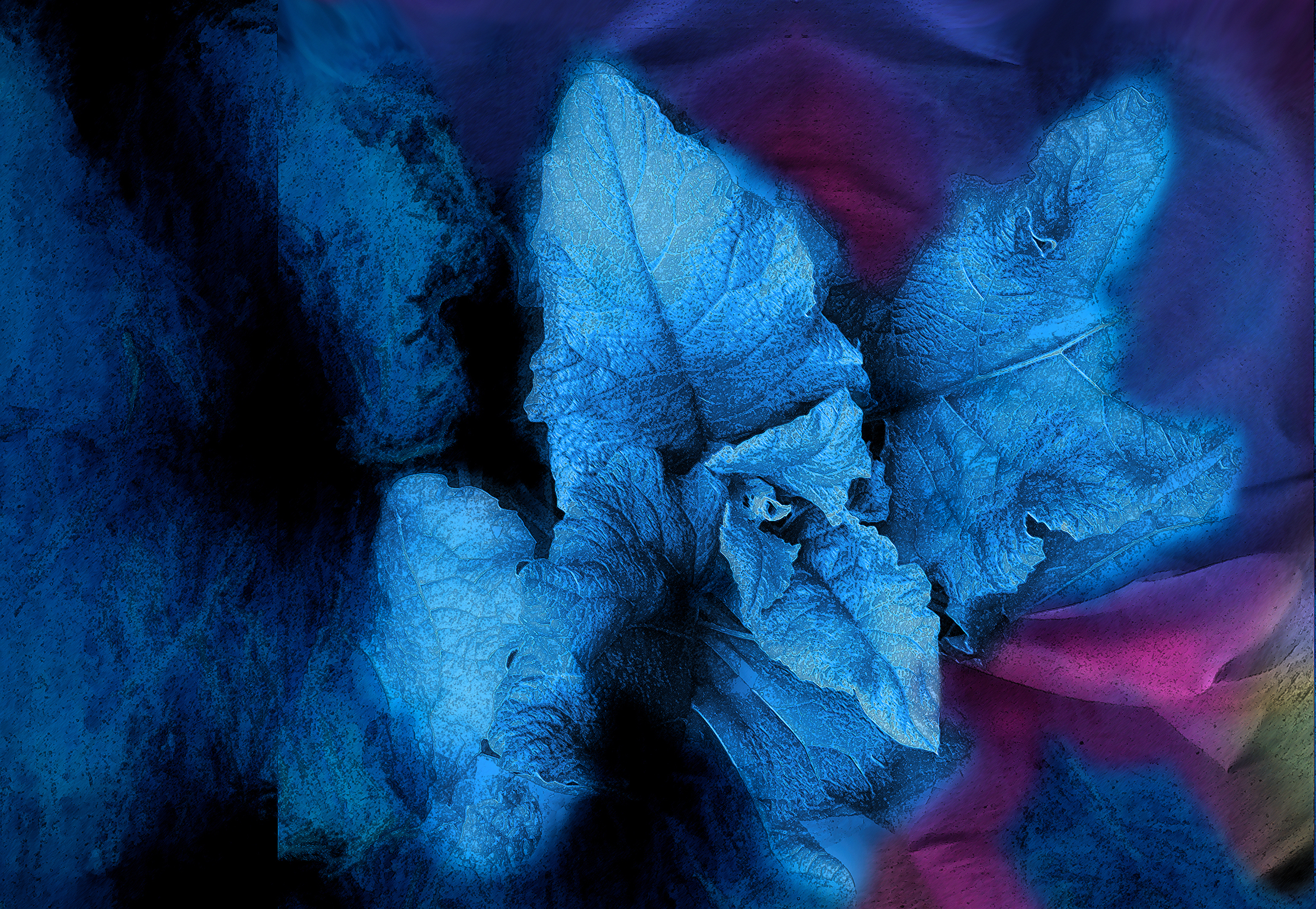
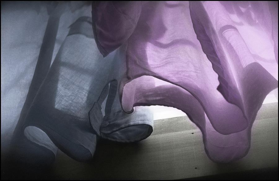
| The Blue Sheet Signed Originals Unsigned Open Edition Prints |
x
 |
| The Bones |


 |
| Spirit in the Mist |
 |
| The Colors of Livermore Signed Originals. Open edition prints |


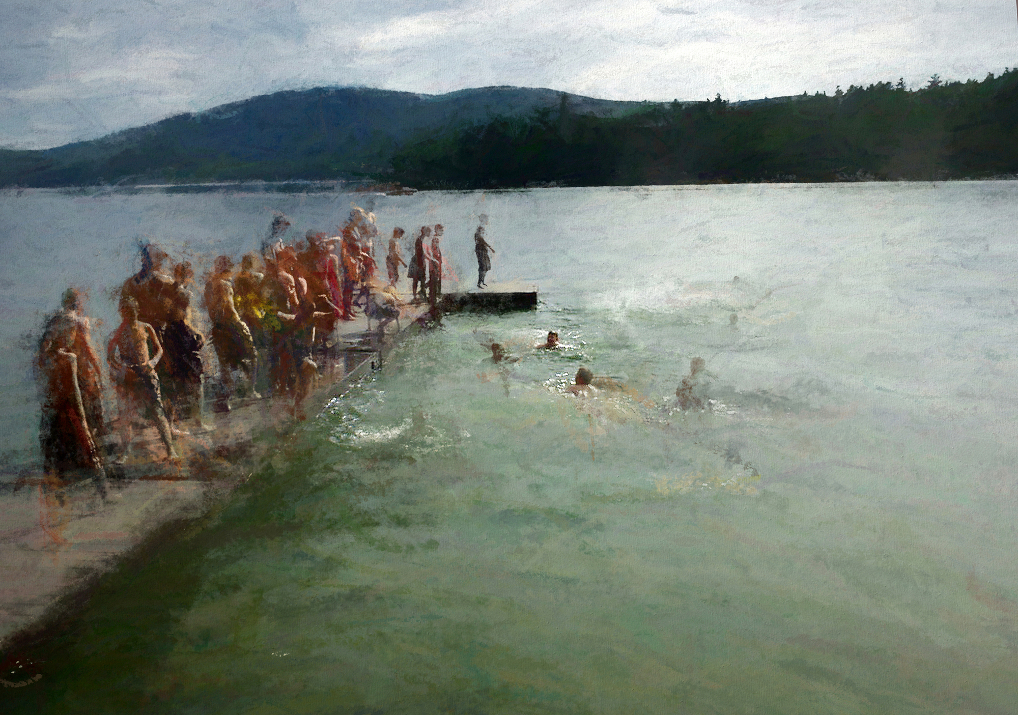 |
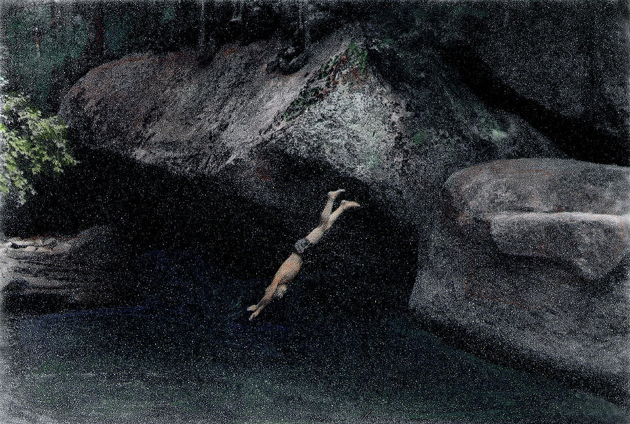
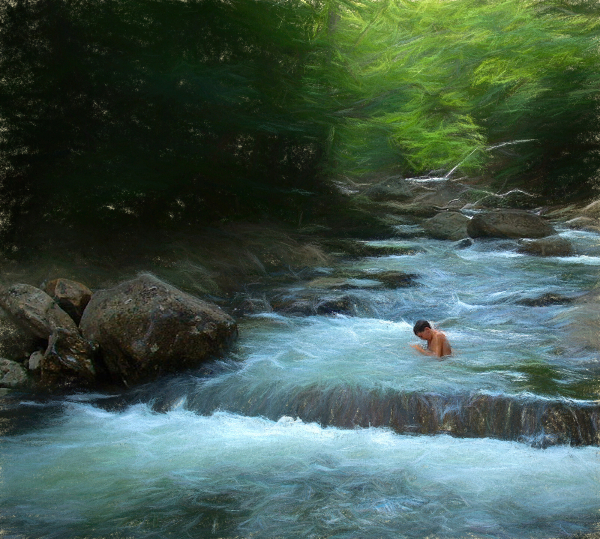
| First Swim Signed Original Prints. Open Edition Unsigned Prints |
 |
| Twisted Stalks and Ears Signed Originals. Unsigned Open Edition Prints |
 |
| Carry Beauty Inside Signed Originals. Unsigned Open Edition Prints |
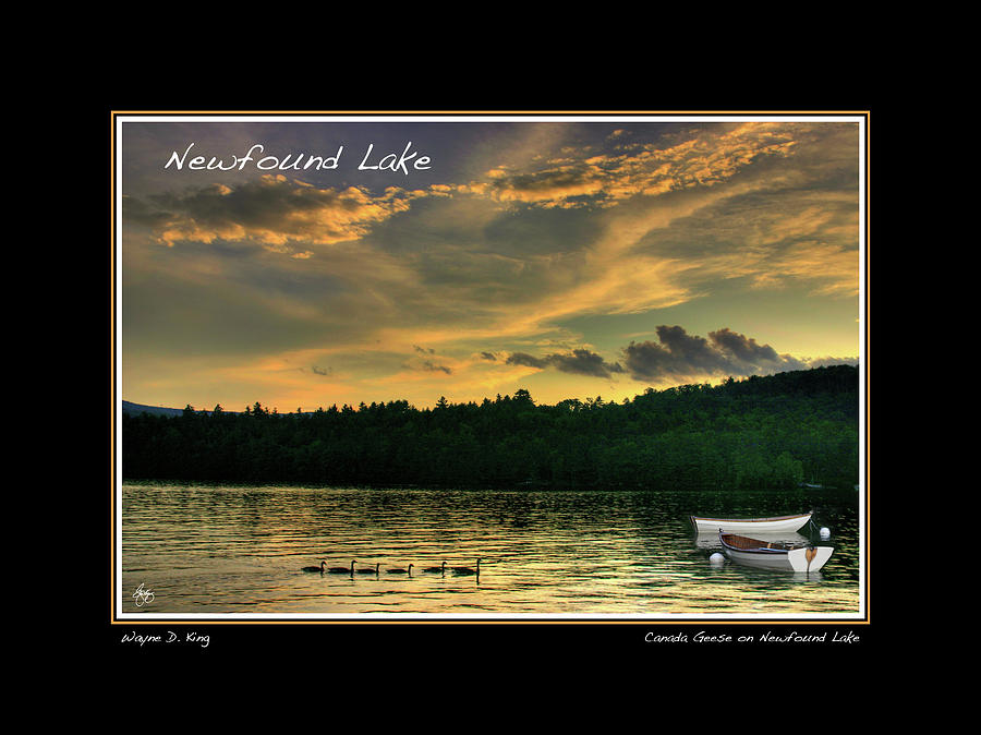 |
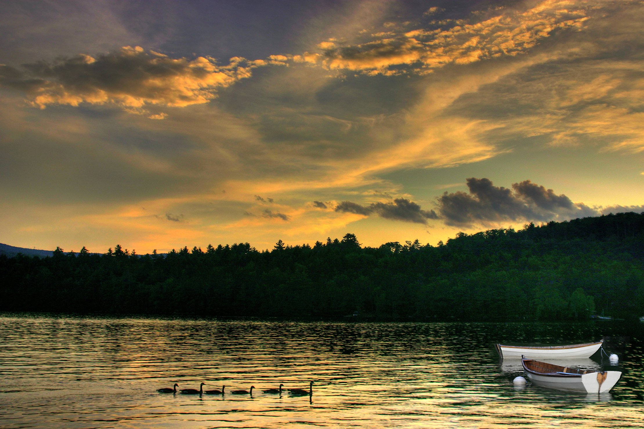
| Newfound Lake Geese and Rowboats
Digitally signed Open Edition |


 |
| Grand Parade Mindscape |


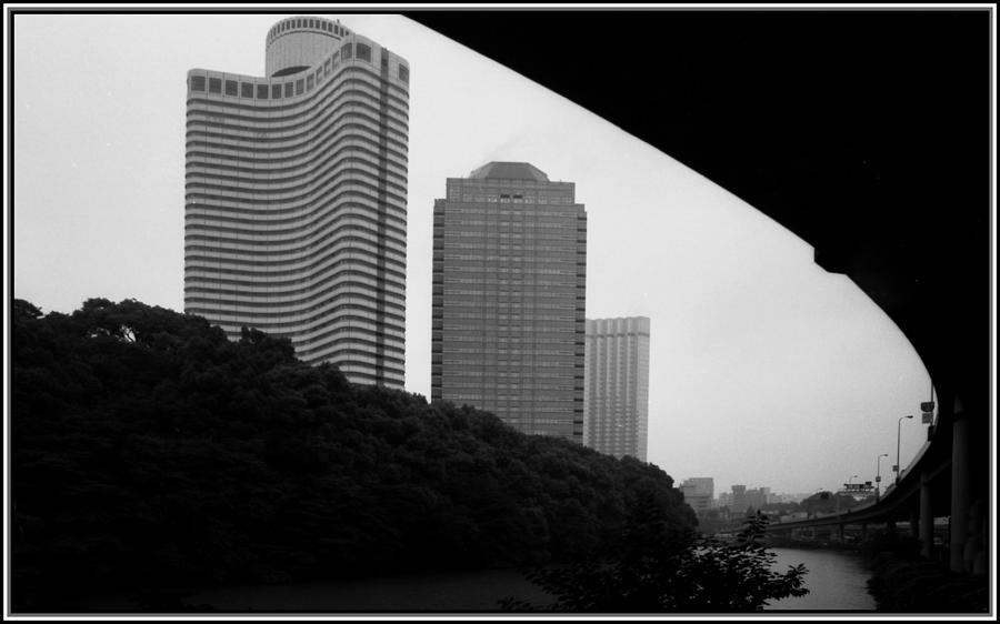 |
| Tokyo Bridge Skyline Signed Originals. Unsigned Open Edition Prints |
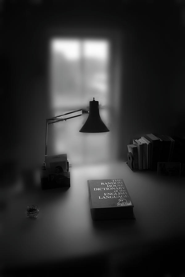 |
| Jane Kenyon's Dictionary |

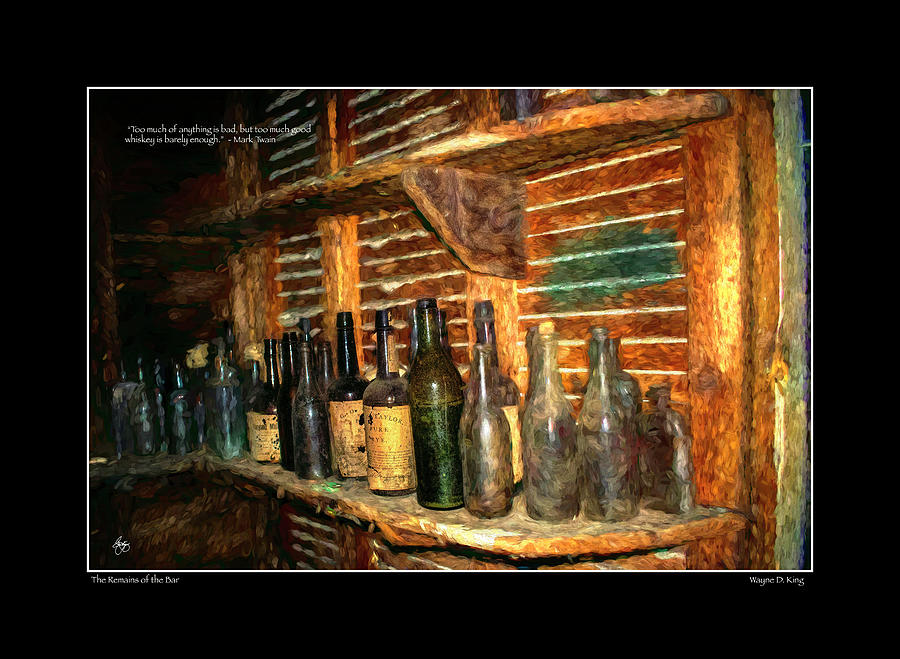 |
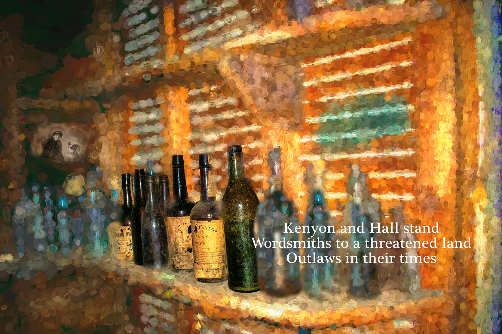
| Remains of the Bar - Twain Poster |


 |
| Guarding the Laundry in Ghana Signed Originals Unsigned Open Edition Prints |
 |
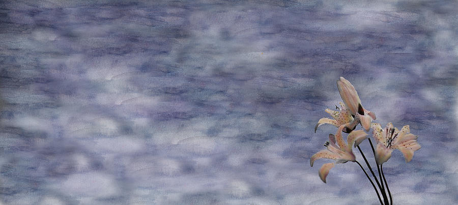
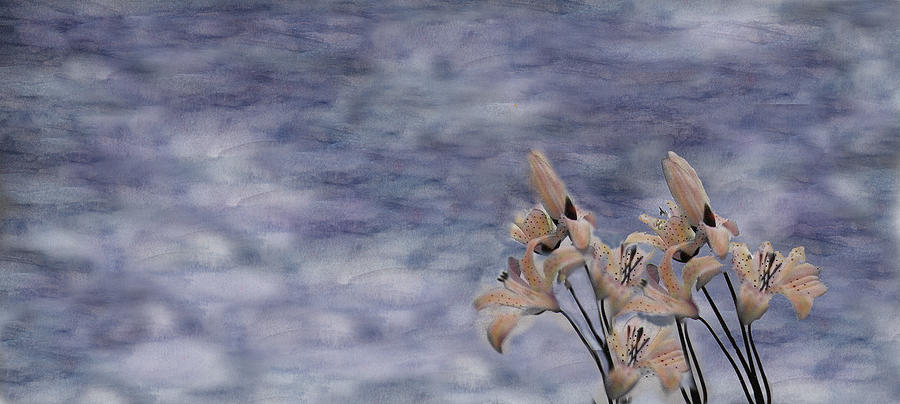
| A Glow of Lilies |


 |
| Highland Storm #9 - Sun on the Lupine |
 |
| Air Drying in Ghana Originals Open Edition Prints |
 |
| The Final Blaze |


 |
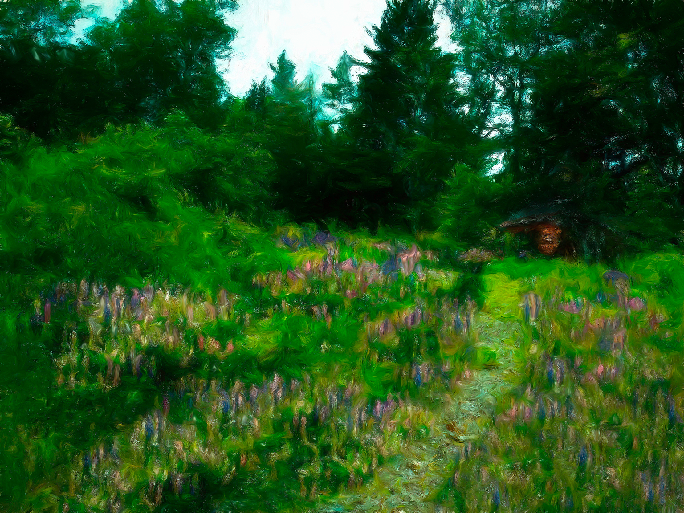
| Lupine Field in the Rain |
 | ||||
The Ball Box
|
 |
| Mystic Portal |
 |
| Blue Glass Winter Apples |
 |
| Red Deer Dreams at Dawn Signed Originals Unsigned Open Edition Prints |
 |
| The Red Loft Signed Originals. Unsigned open Edition prints |
 |
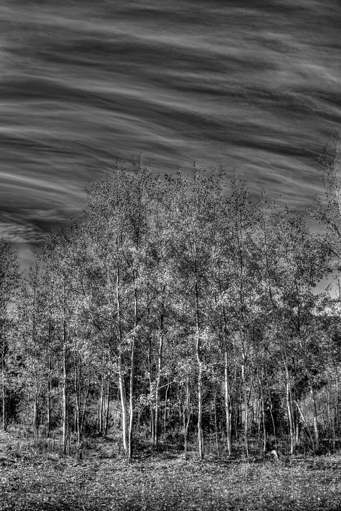
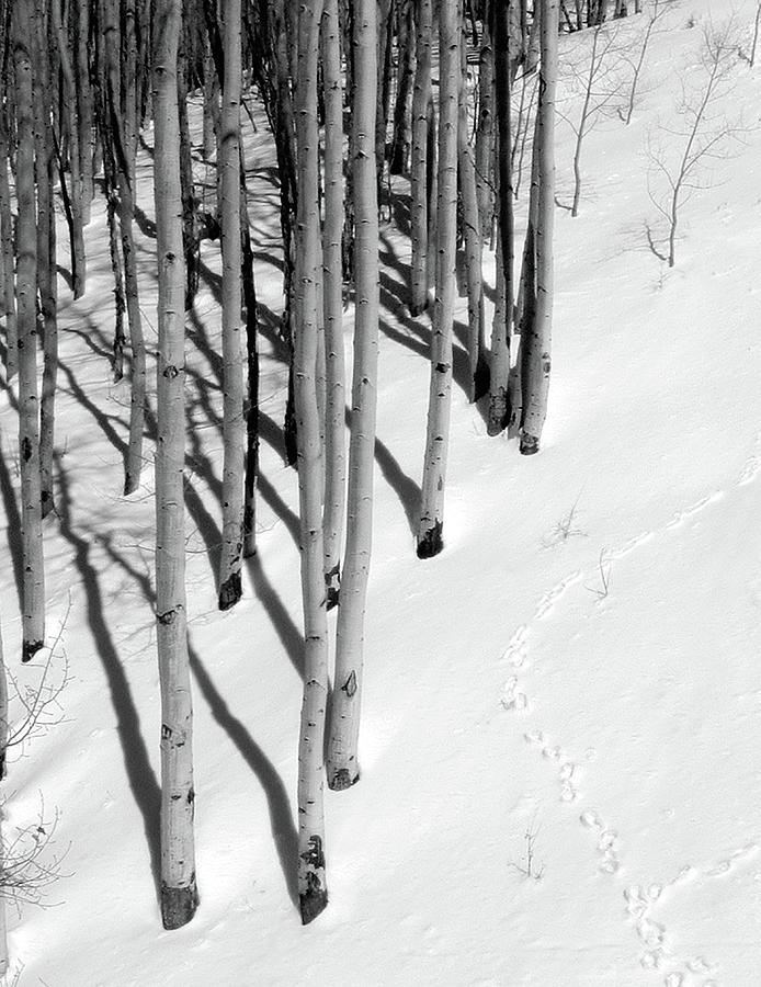
| ASPEN CENTRAL MONOCHROME |
 |
| The Shoulder of Africa Signed Originals. Unsigned Open Edition Prints |
 |
| Evolution, Revolution |
 |
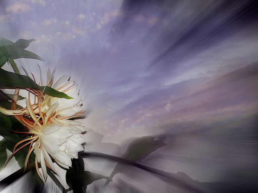
| Moonlight on Night Blooming Cereus |
 |
| Painted Cattle in Mexico |
 |
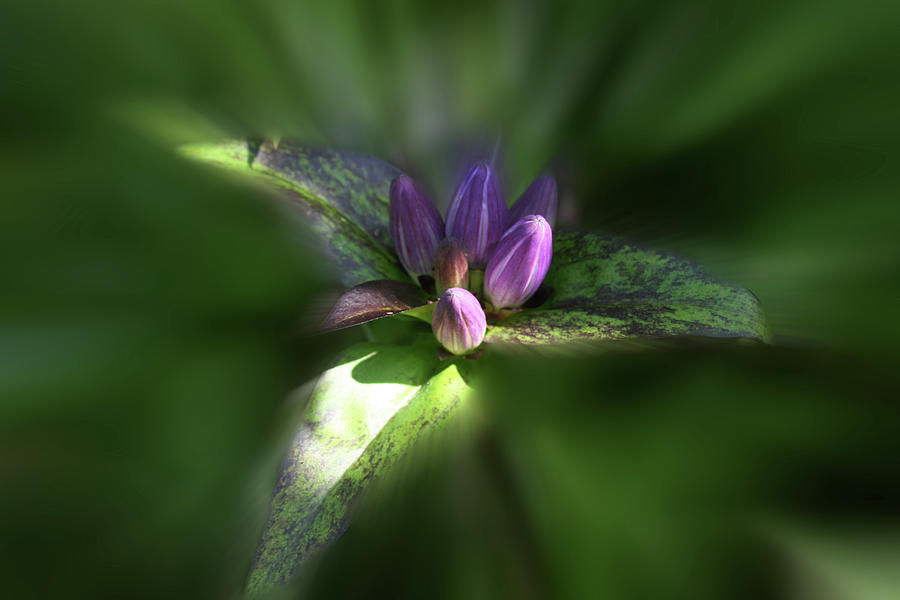
| Peering into Hellebore |
 | ||||
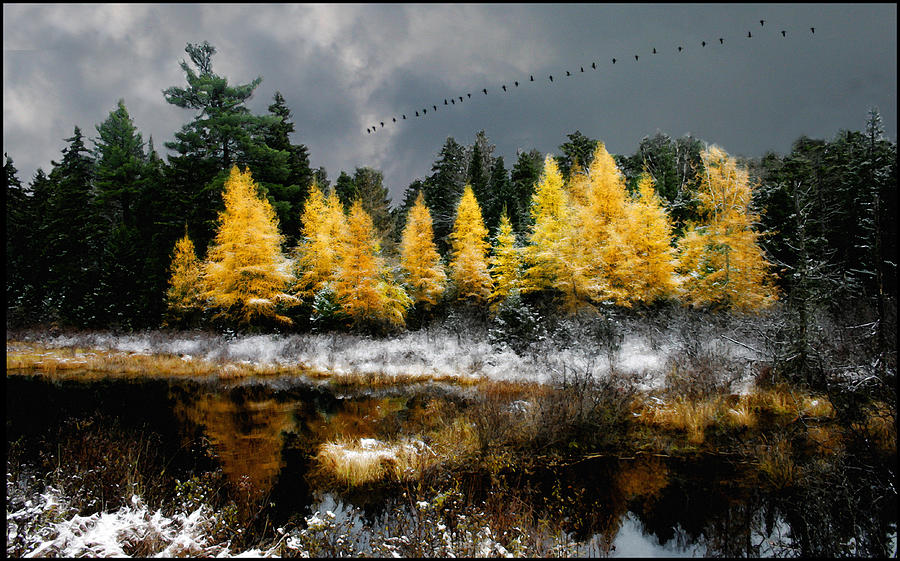
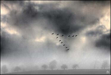
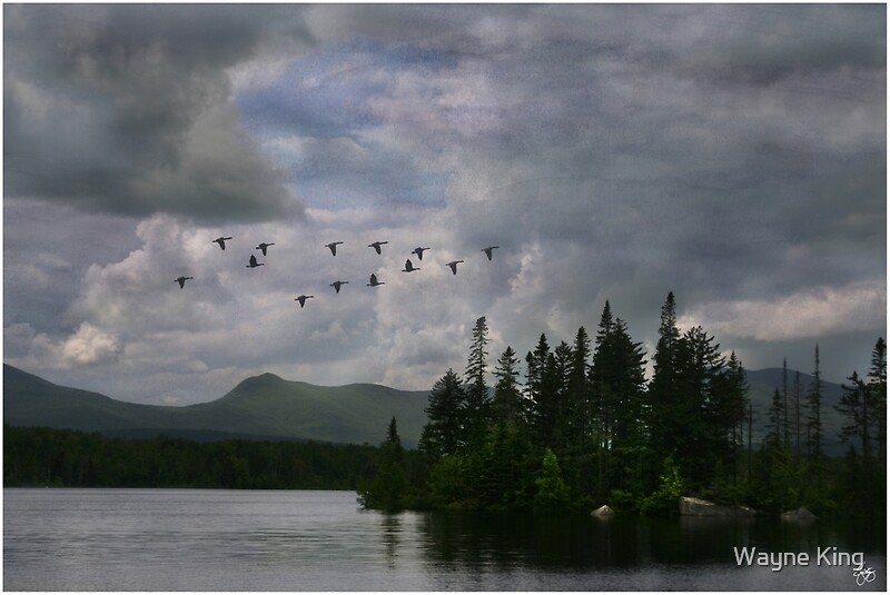
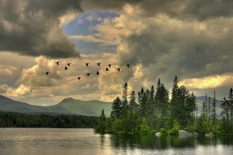
Geese in a Maple Sky
|


 | ||
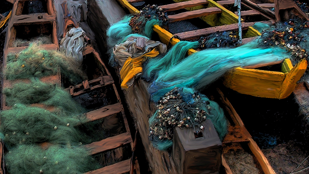
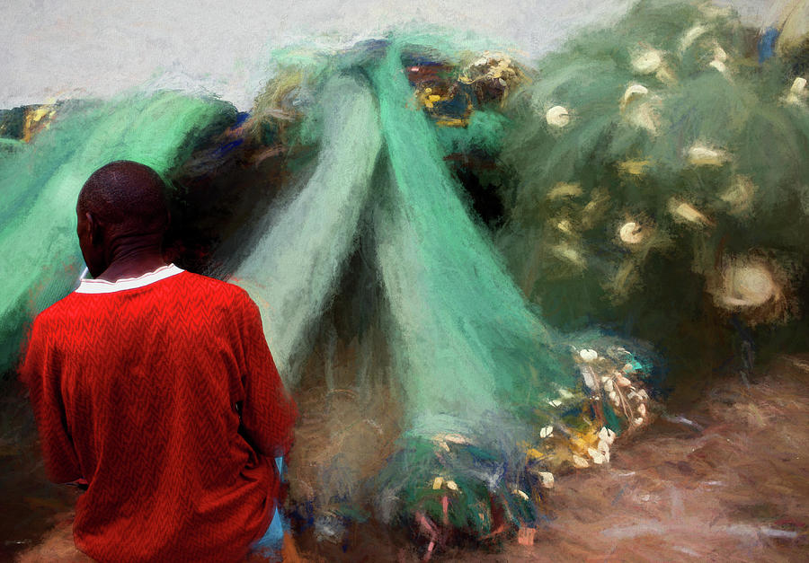
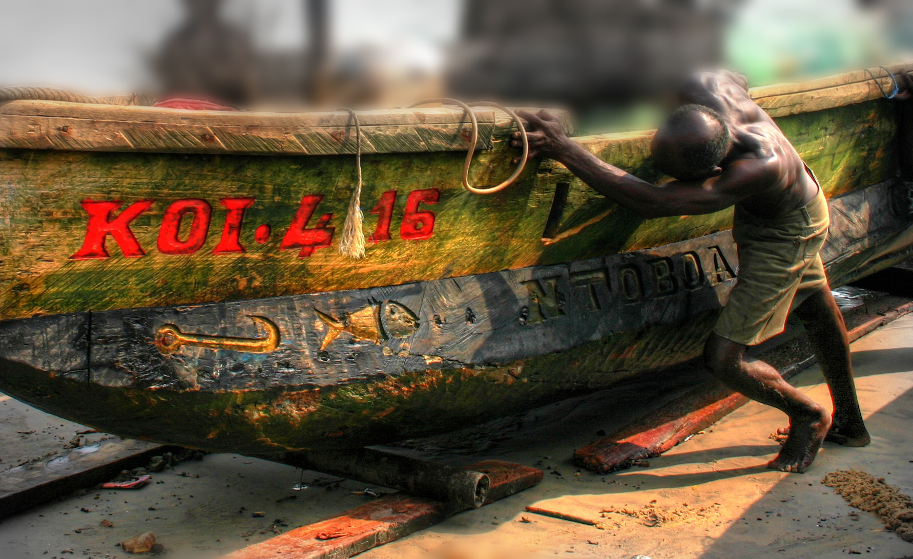
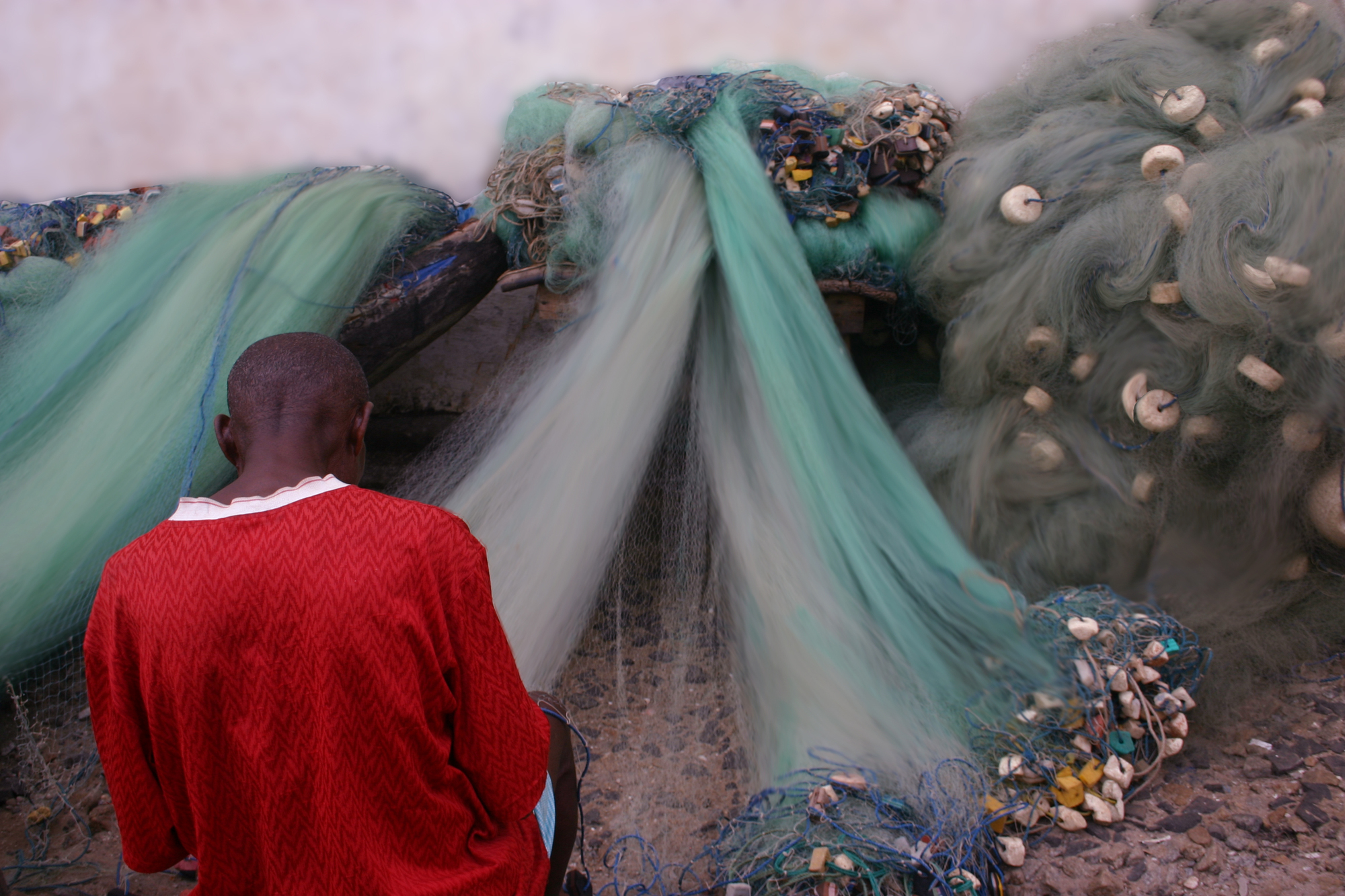
Net Repair at Cape Coast Castle
|

 |
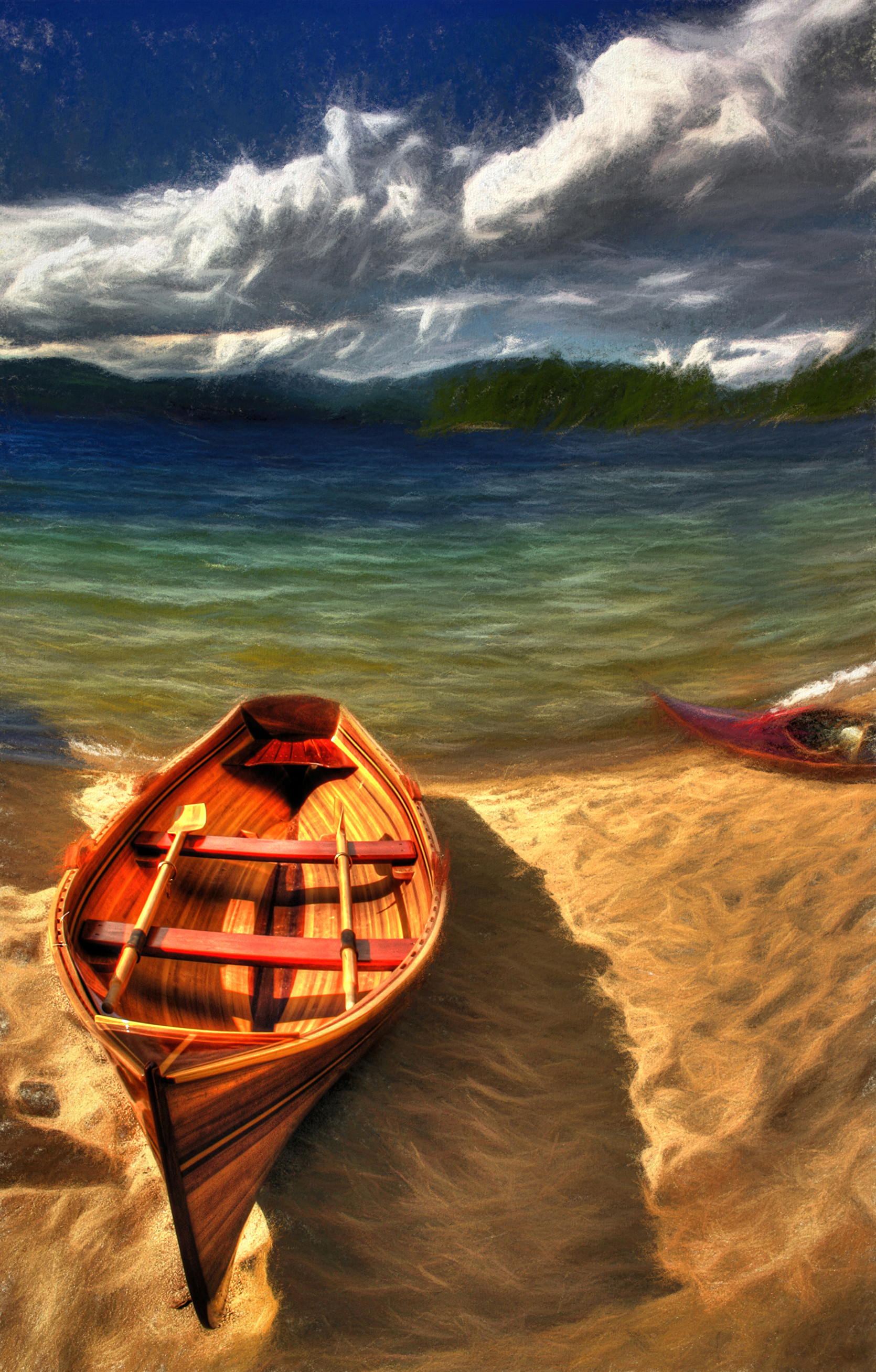
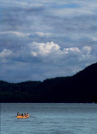
| Newfound Rowboats |
 |
| Silver Mine After Wynn Bullock Signed Originals. Unsigned Open Edition Prints |
 |
| The Rainbow and the Rose Original Images signed. Open Edition Prints (unsigned) |
 |
| Onondaga Rosefall Signed Originals Unsigned Open Edition |


 |
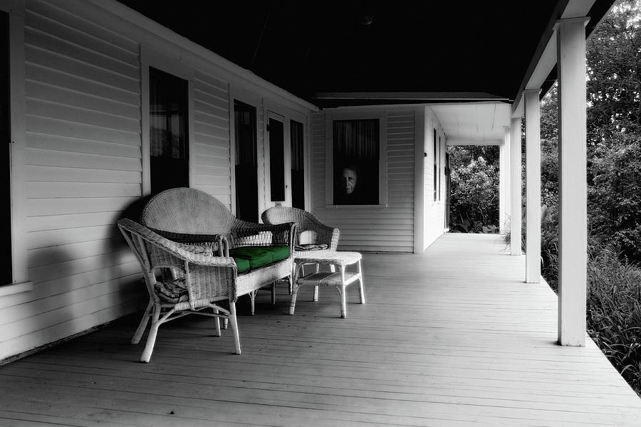
| Washday on a Country Porch |

 |
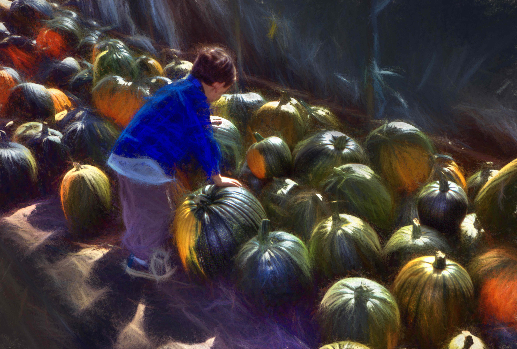
| White Pumpkins |
 |
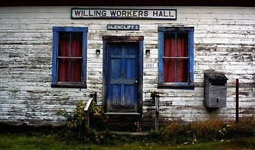
| The Country Porch - Tamworth NH Signed originals Unsigned Open Edition Prints |

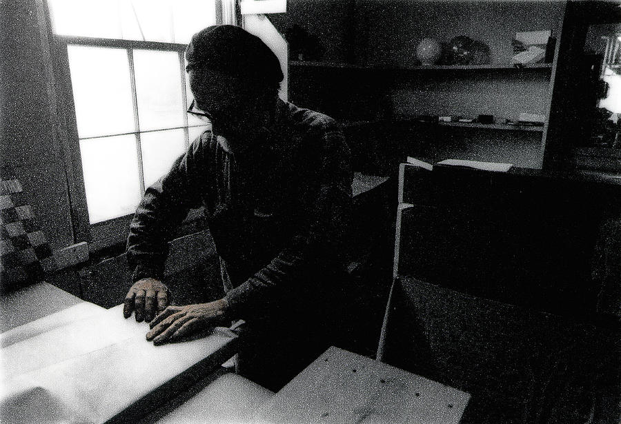 |
| The Woodworkers Hands Signed Originals Unsigned Open Edition Prints |
|
| Finding Our Way Signed Originals. Open edition prints |
 |
| Sheeps Passing Signed Originals. Unsigned Open Edition Prints |
 |
| A Climax of Lupine Signed Originals Unsigned Open Edition Prints |
| Empty Dreams Signed Originals. Unsigned Open Edition Prints |


 |
| Flying into a Gathering Storm Signed Originals |
 |
| The Pink Blaze |
 |
| Autumn is Soooo Bittersweet |
Signed Originals
Available in two sizes 26"x40" and 8"x 14"
 |
| Fawn in a Boulder Field Signed Originals Unsigned Open Edition Prints |
 |
| Leaf on a Dolly Signed Originals Unsigned Open Edition Prints |
 |
| Aspen Puddle Signed Originals. Unsigned Open Edition Prints |


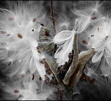 |
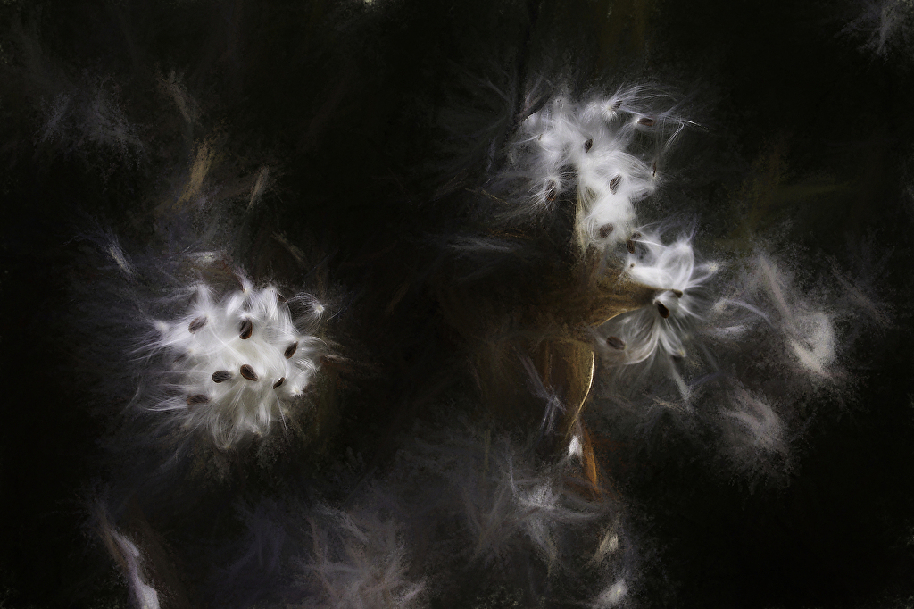
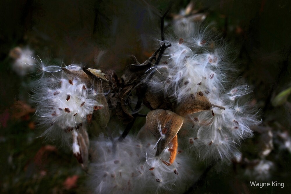
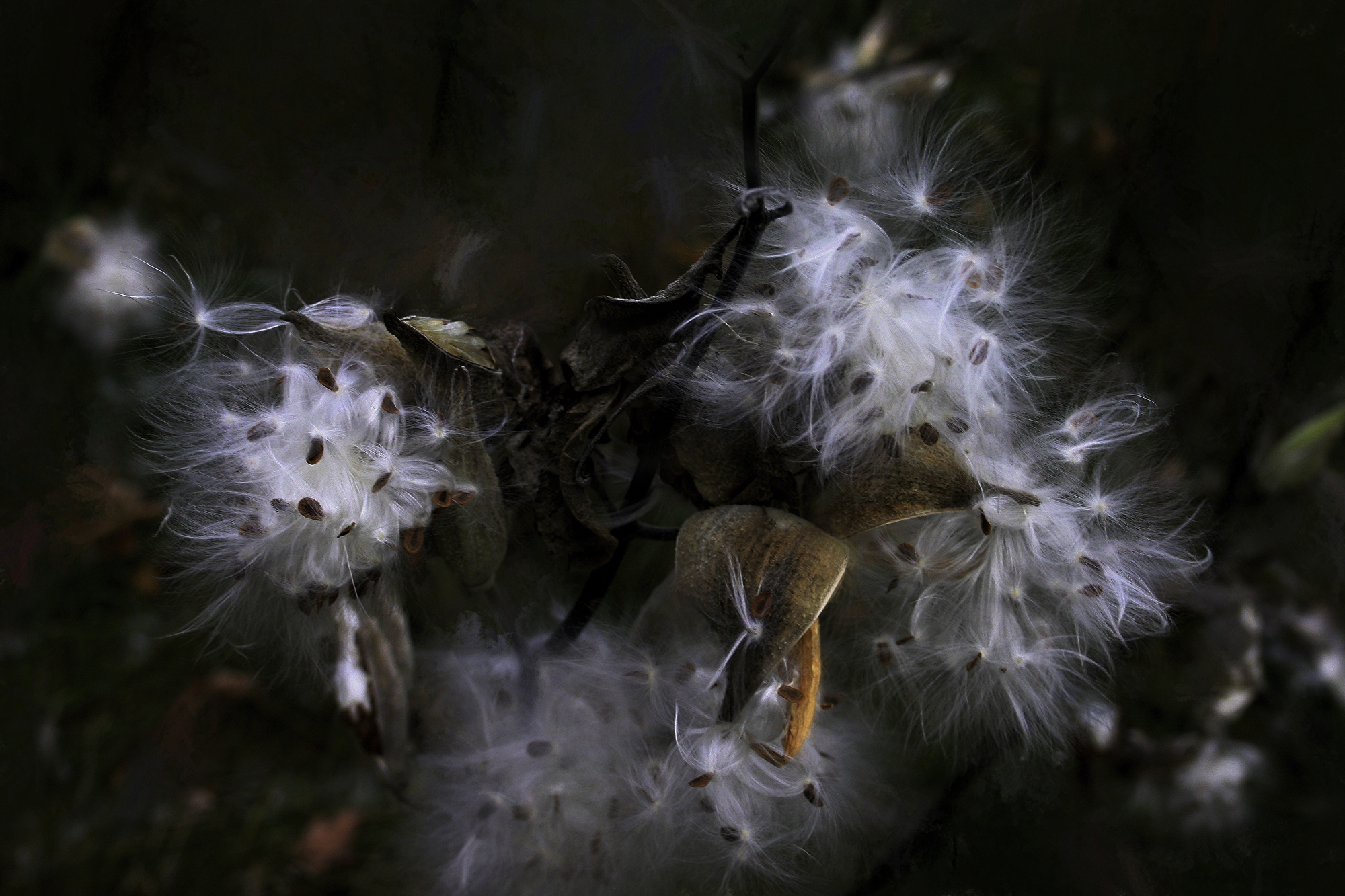
| Milkweed Whisper |
 |
| Peaholes on the Pemigewasset River |

 |
| Glow on the Roaring Fork River |

 |
| Floodplain Forest Abstract Signed Original. Unsigned Open Edition Prints |


 |
| Vibrant Spirit in a Gentle Soul Signed Originals Open edition print |

 |
| Painting the Surging Spring Signed Originals. Open Edition Prints |
 |
| An Arabian Dream in a Field of Lupine |
 |
| Spring Rainbow of Lupine Signed Originals. Unsigned Open Edition Prints |
 |
| Purple Light Signed Originals Unsigned Open Edition Prints |
 |
| Storm Over Mt Pemigewasset Signed Originals. Unsigned Open Edition |
 |
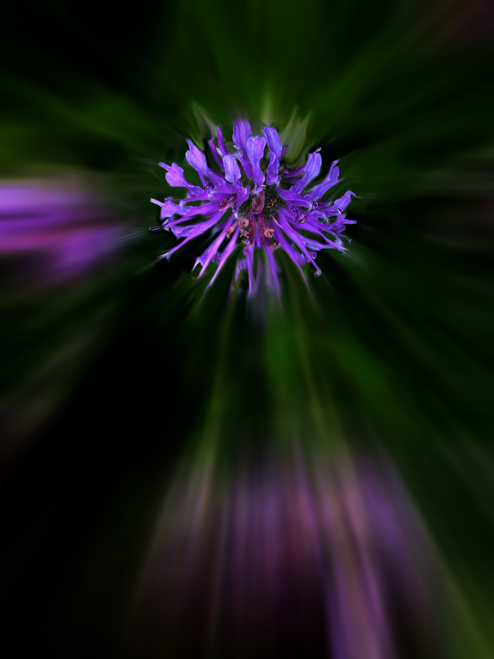
| Purple Aster Original |
 |
| Spirit Pony in a Floodplain Fernwood Signed Originals. Unsigned Open Edition Prints |
 |
| Day Lily in a Painted Sky Signed Originals. Unsigned Open Edition Prints |
 |
| Spirit Pony in Setting Sun Signed Originals. Unsigned Open Edition Prints |
 |
| Path to the Present Signed Originals. Unsigned Open Edition Prints |
 |
| Northcountry Ode to Pollack Signed Originals. Open edition prints |
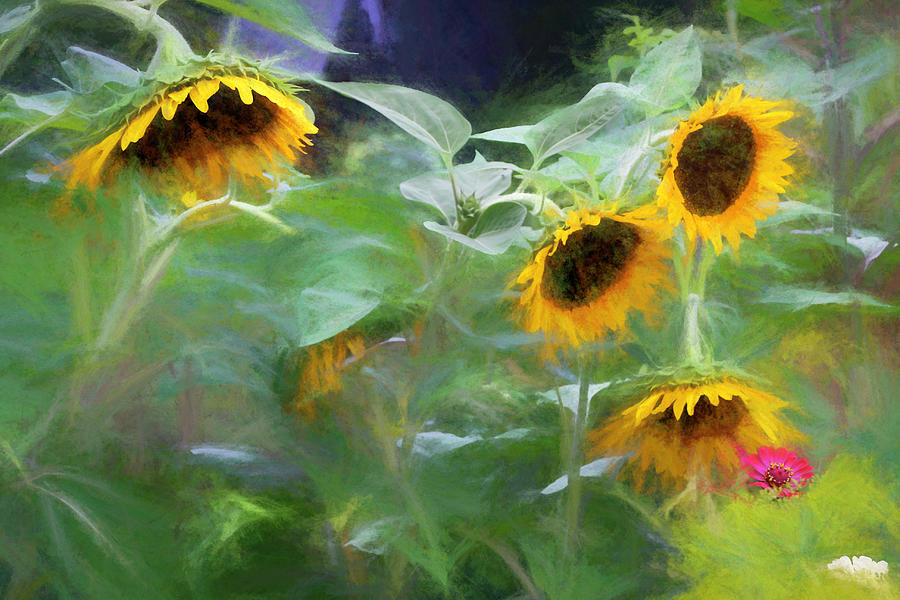 |
| Nodding Sunflowers Signed Originals. Unsigned Open Edition Prints |
 |
| Madras Maples Signed Originals Unsigned Open Edition Prints |
 |
| Washday at the Blue House Signed Originals. Unsigned Open Edition Prints |


 |
| The Universe in a Minor White Monochrome Signed originals. Open edition Unsigned |
 |
| Pollack's Pool Signed originals Open Edition |

 |
| Wild Cucumber Invasion Signed Originals. Unsigned Open Edition Prints |
 |
| The Orange Maple Signed Originals. Unsigned Open Edition Prints |
 |
| The Road to a Dream Signed Original Unsigned Open Edition Prints |
 |
| The Birch at Rattlesnake |

 |
| 2 Bras on a Washline in Dominica - Originals |
 |
| Wind in the White Mountain Foothills |


 |
| A Seat at the Dance _ Signed Original |
 |
 |
| Neon Washline Originals |
 |
| Simple Wreath - Signed Original |
 |
| A Rest at Jefferson Highlands Signed Originals. Unsigned Open Edition Prints |
 |
 |

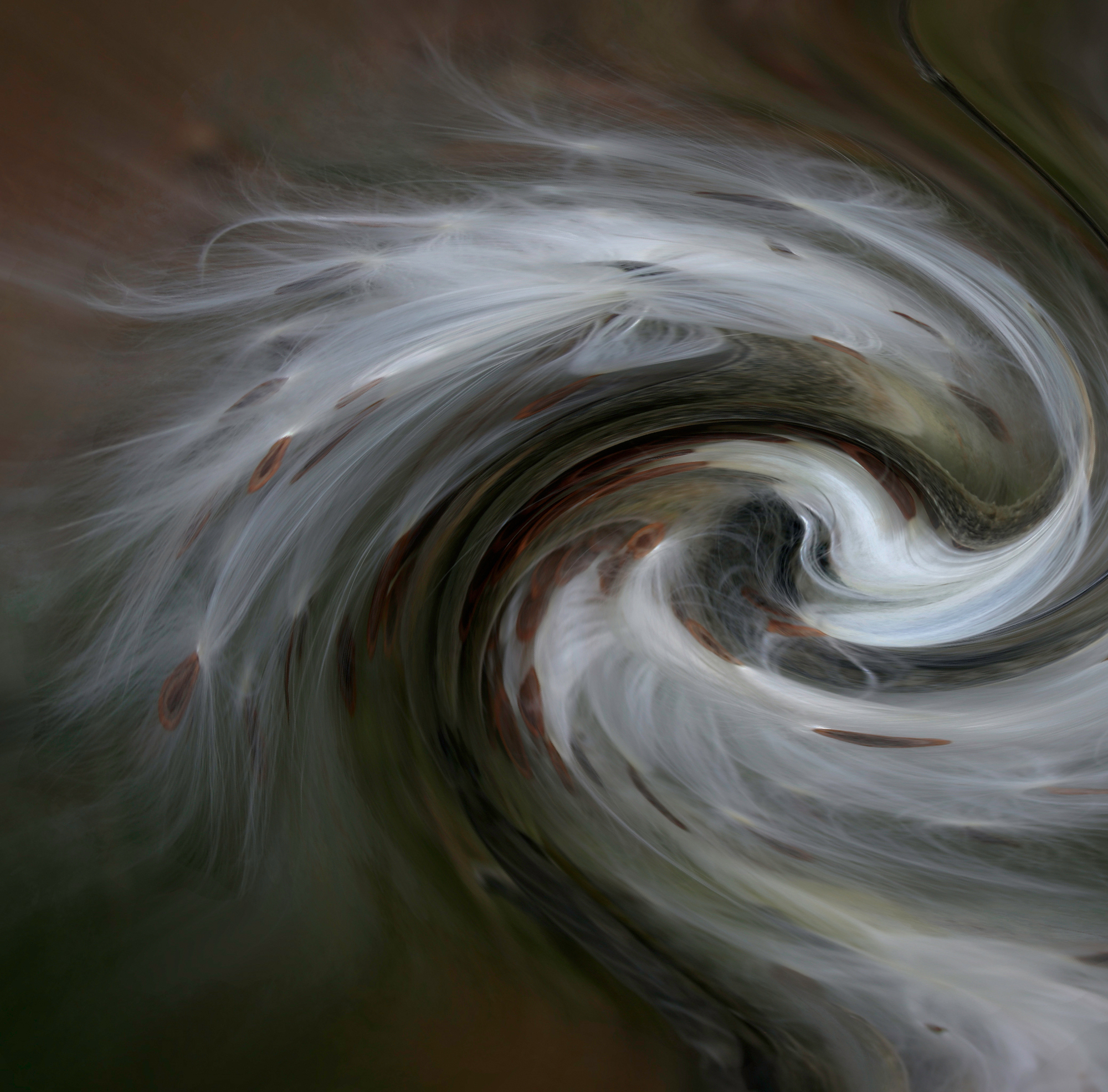 |
| Wind in the Milkweed |
 |
| The Orange Maple |
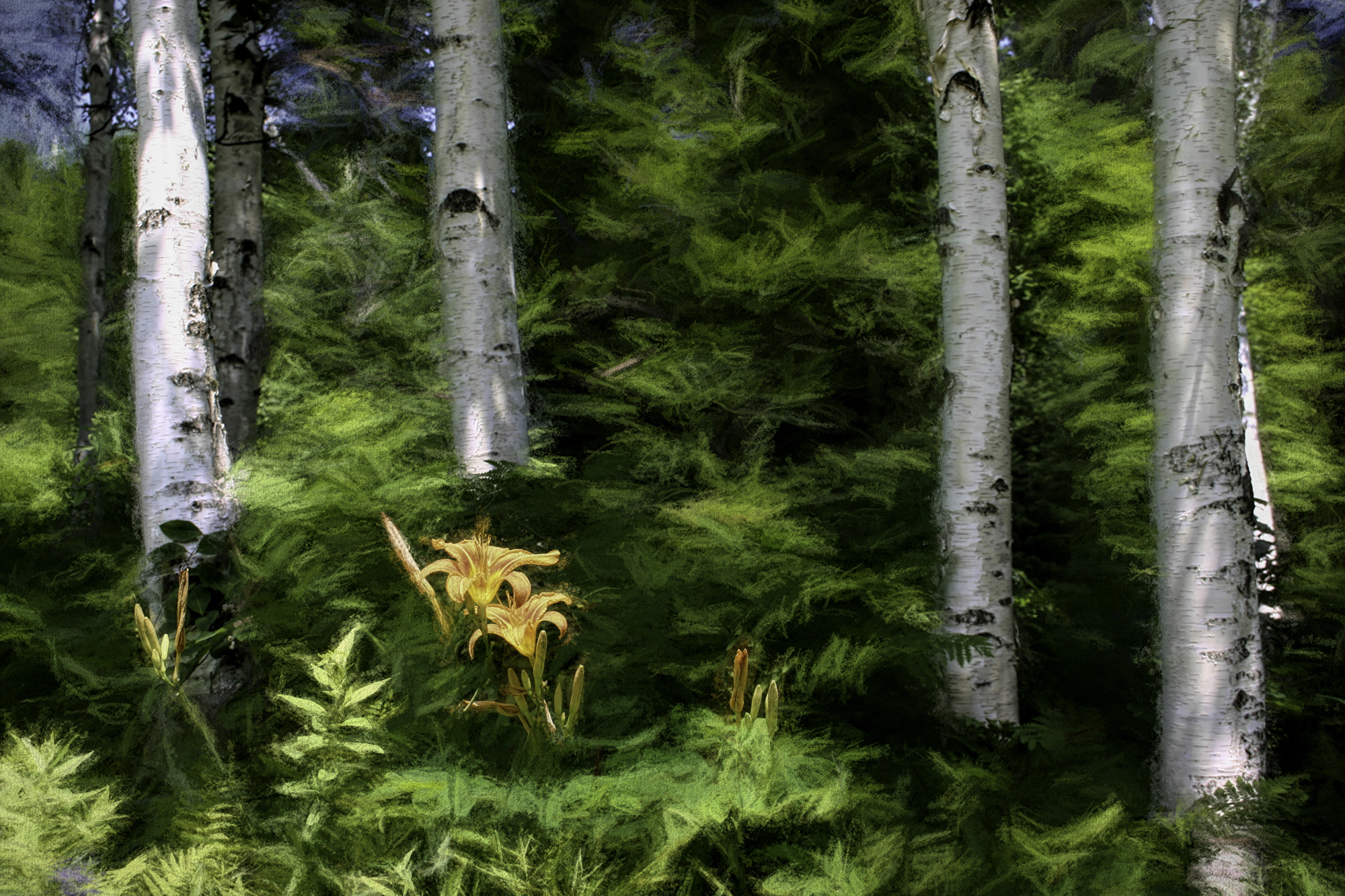 |
| Day Lilies in the Birch |
 |
| Brown Horse on a Blue Farm |
 |
 |
| Lupine Fields on a Road to the Clouds |
Flames along the Asquamchumaukee
 |
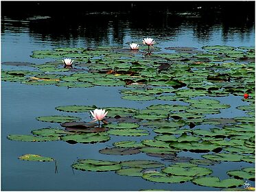
| Water Lily Impressions Signed Originals. Unsigned Open Edition Prints |
 |
| Washday Stark NH Signed Originals. Unsigned Open Edition Prints |

 |
| Did You Hear That? |
 |
| Winsor Garden Chaos - Originals |
 |
 |
| Indian Sunset Signed Originals Unsigned Open Edition Prints |
 |
| Sunlight on a Washline in Dominica |

 |
| Aspen Grove in the NE Kingdom, Poster |

Red Squirrel Chaos
 |
| A Light in the Attic - Signed Originals |


 |
| Washday Impressions in Ossipee |
 |
| Piglet at the Pow wow |
 |
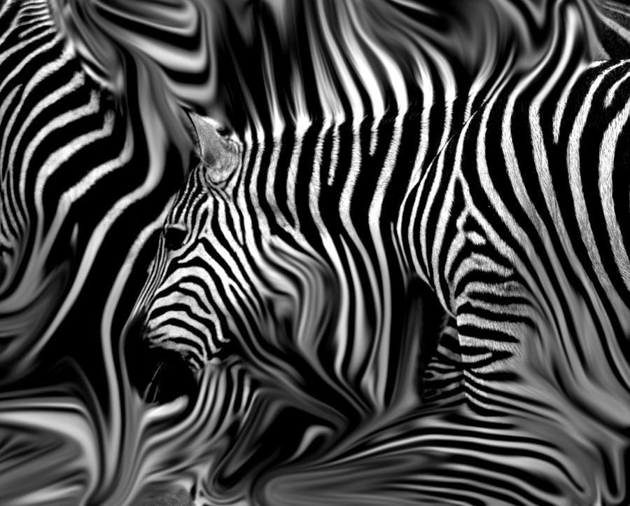
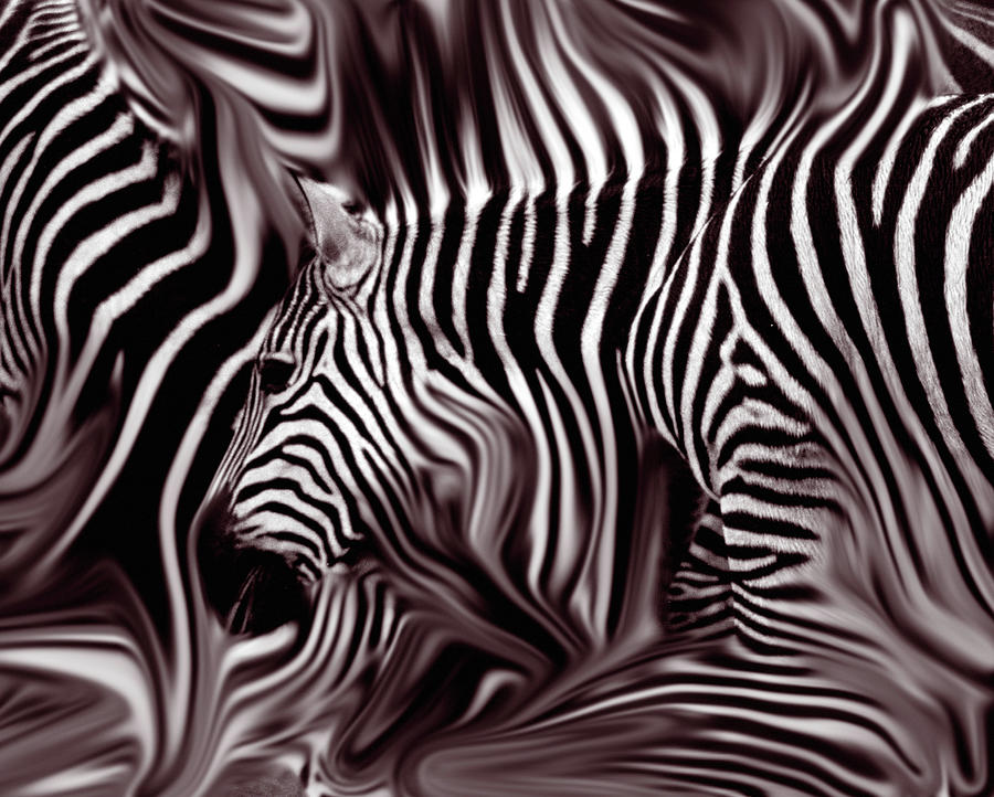
| A Zeal of Zebras - Signed Originals |
 |
| Add caption |
 |
| The Winter Warrior Signed Originals. Unsigned Open Edition Prints |
 |
| Lightplaty on Fiddleheads Signed Original Image. Unsigned Open Edition Prints |
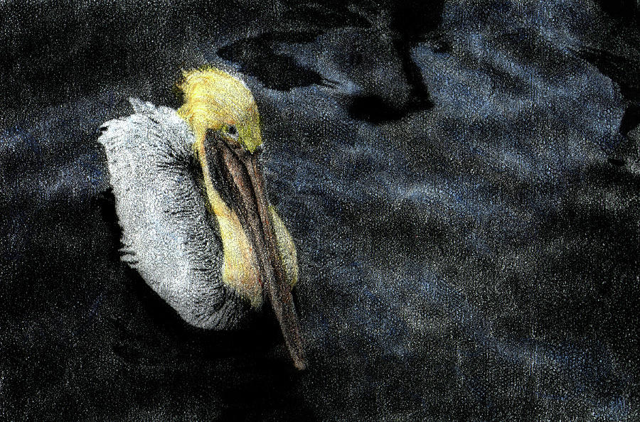 |
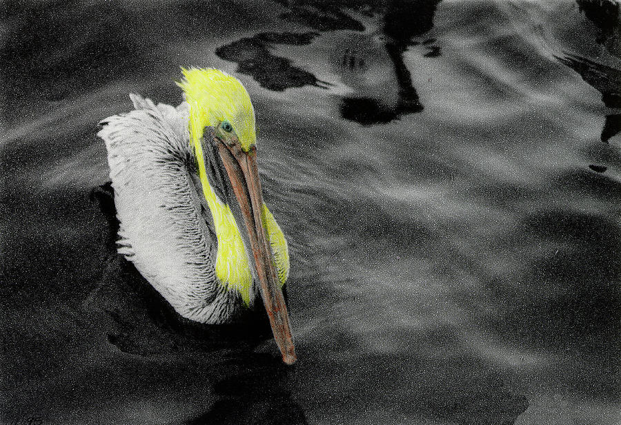
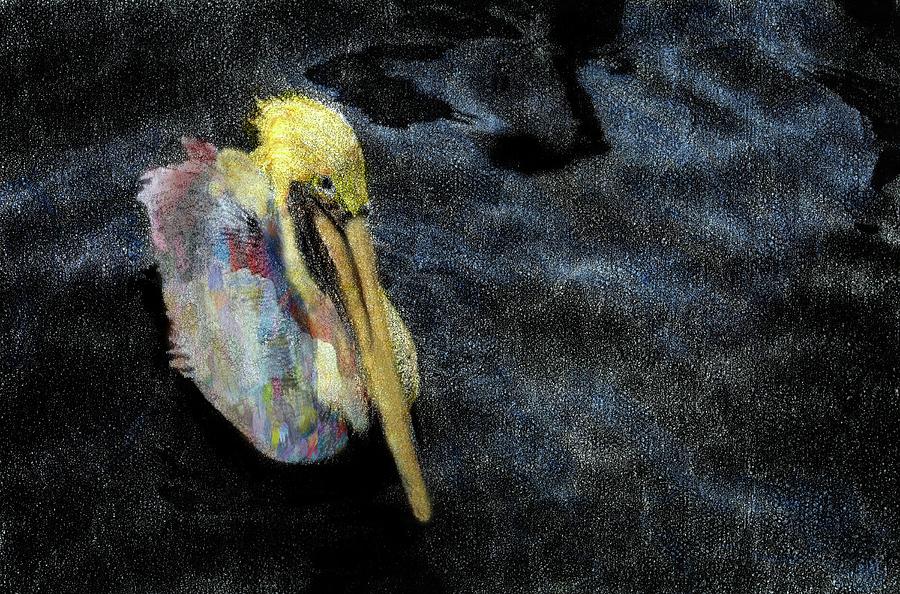
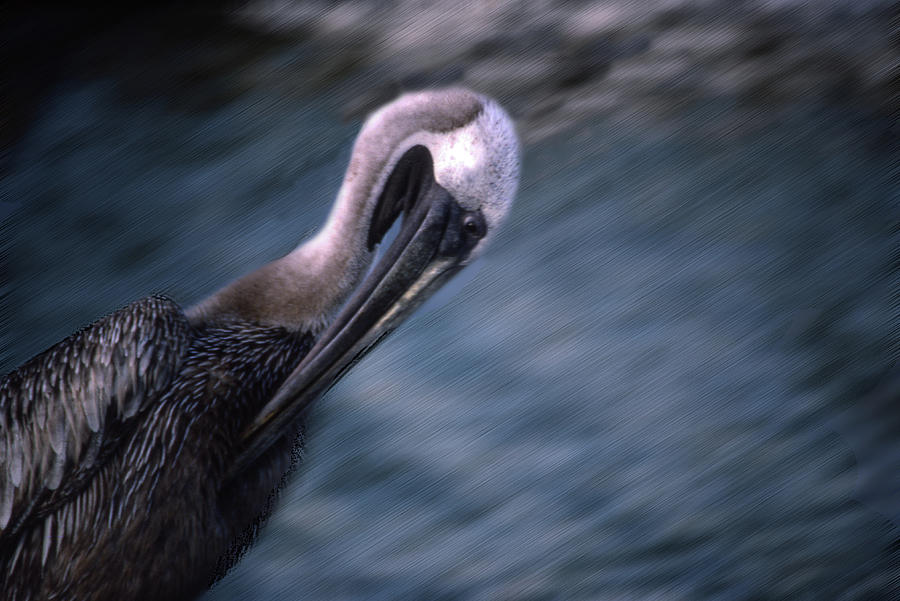
| Brother Pelican Mindscape Signed Originals. Unsighted Open Edition Prints |
 |
| Red Door, Blue Wash at 37 |
 |
| A Wave of Shirts Signed Originals. Unsigned Open Edition Prints |
 |
| Dance to Remember |
 |
| Heroes Tribute Monochrome |
 |
| Too Close to the Sun |
 |
| Jazz for Breakfast Signed Original Unsigned Open Edition Prints |
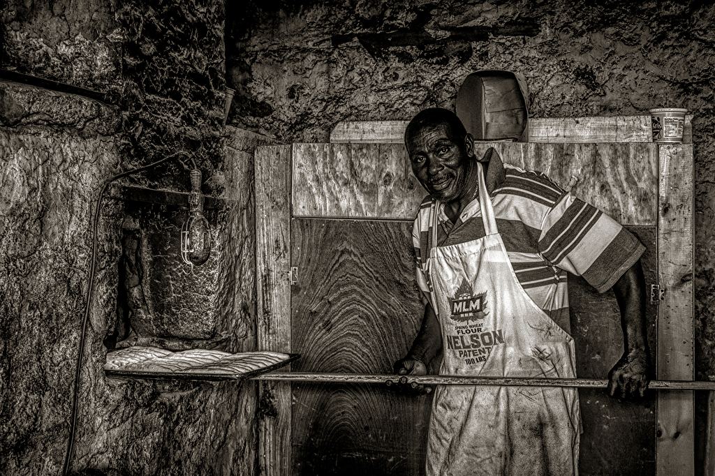 |
| Bread and Moses Monochrome Signed Originals. Unsigned Open Edition Prints |
 |
| Pathway to Bryce Canyon Signed Originals. Unsigned Open Edition Prints |
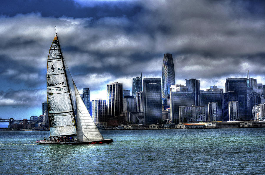 |
| Bay City Sail Signed Originals. Unsigned Open Edition Prints |
 |
| Spirit Pony in a Painted Mangrove Signed Originals. Unsigned Open Edition Prints |
 |
| Ooops Wrong Meeting Signed Originals Unsigned Open Edition Prints |
|
| Ghosts on a Road to the Sun Signed Originals. Unsigned Open Edition Prints |
 |
| Ghost Horses on a High Plains |
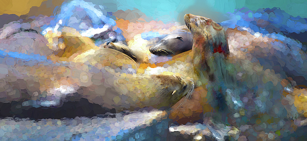 |
| The Emerging Pod |
 |
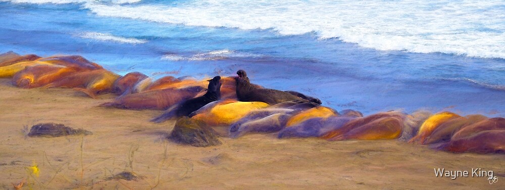
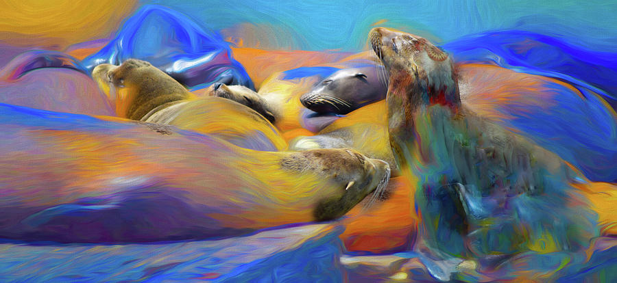
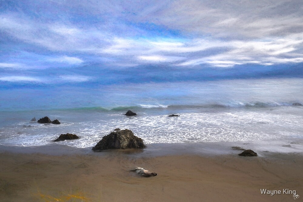
| Basking in the Sun with the Seal Spirits |
 |
PoplarWind Signed Originals |
 |
Milan Paper Birch Monochrome |
 |
| Flowering of Hope at the Pow Wow |
 |
| Chillin' at Seal Beach, Monterey, California |
 |
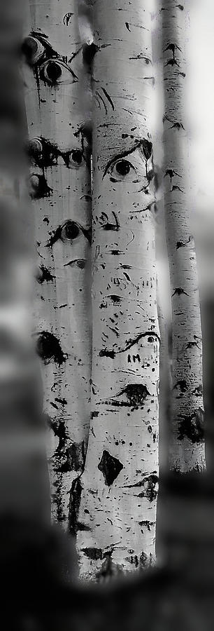
| The Eyes of Aspen are Upon Us Signed Originals. Unsigned Open Edition Prints |
 |
|
| Fine Art Posters - Affordable Art |

 |
| Hope in Our Time |
 |
| Aspenglow on the Roaring Fork River Signed Originals Unsigned Open Edition |
 |
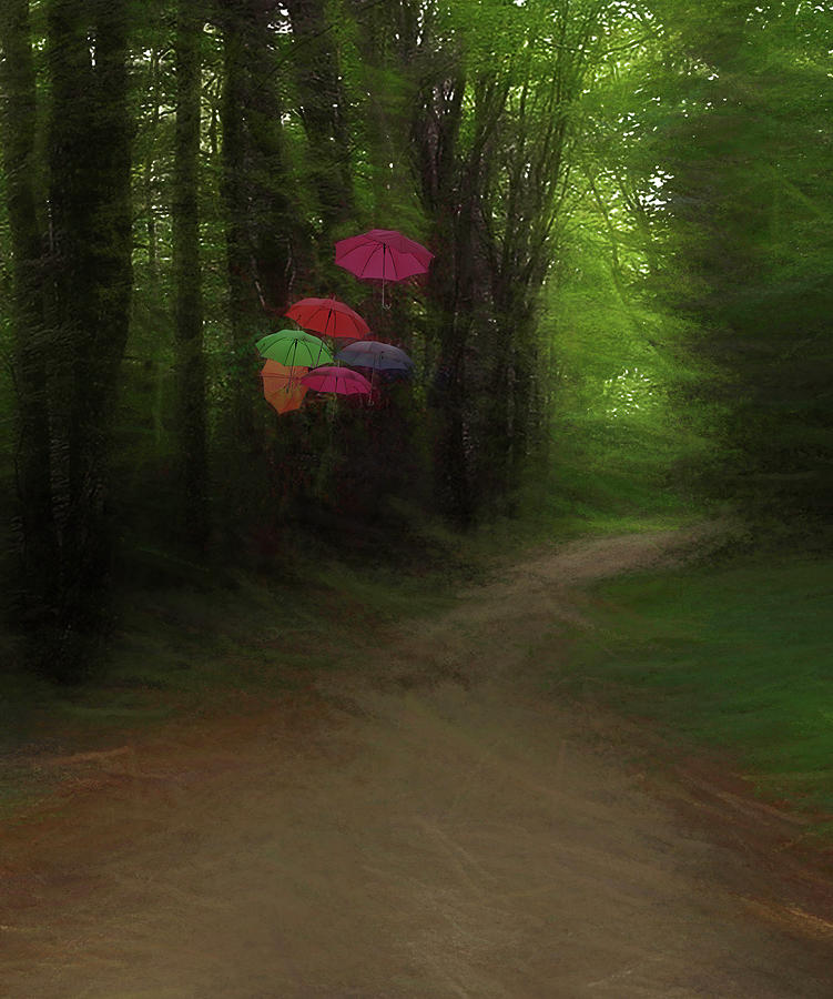
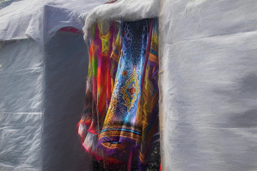
| Umbrellas in a Museum |
 |
| Cloudy, Cloudy Day Signed Originals. Unsigned Open Edition Prints |
 |
Cloudy with a Chance of Umbrellas |
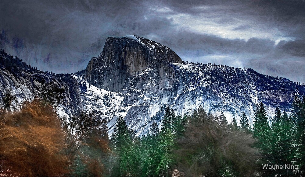 |
| Storm Over Half Dome, Yosemite National Park Signed Originals. Unsigned Open Edition Prints |
|
| Esheheman's Breath Signed Originals. Unsigned Open Edition Prints |
 |
| Mad River Abstract #6 |
 |
| Drinking from Winter's Wind |
 |
| From Wonalancet to Jefferson |

The Tamaracks of Tripoli
 |
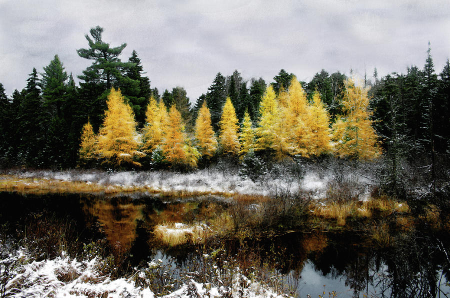
| Cattails and Tamarack Under a Painted Sky Signed Original Art. Unsigned Open Edition Prints |
 |
| A Song Softly Sung Signed Originals. Unsigned Open Edition Prints |

 |
| A Glow on the Cottonwood - Signed original |
The Wolf Tree and the Tamarack
 |
| Blue Corn Expressions |

 |
| Tribute to Boof |
 |
| Add caption |
 |
| Pink Painted Lady - Signed Original |
 |
| Cloud Over Loveland Monochrome Signed Originals Unsigned Open Edition Prints |
 |
| The Whisper of Wind Signed Originals Unsigned Open Edition Prints |
 |
| Dance of a Woodland Elder Signed Original |
 |
| The Whisper of Wind Quote Poster |
 | ||
Long Dog Race
|
 |
| Fortnight Lily Impressions Signed Originals. Open edition prints |
 |
| A Child's Dream Among Lupine |
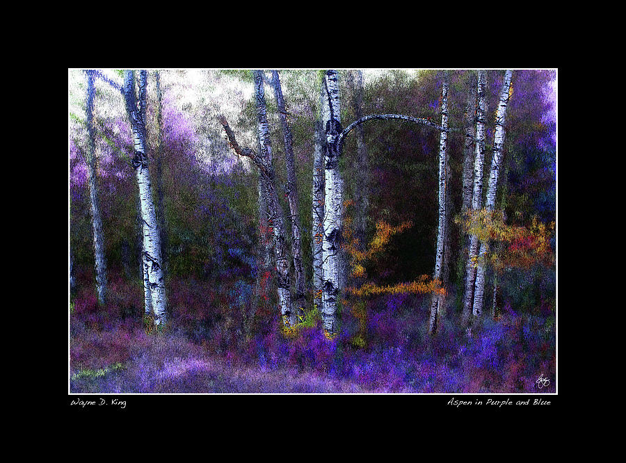 |
| Aspen in Purple and Blue - Fine Art Poster |
 |
| Luna Moth Impressions Signed Originals. Unsigned Open Edition Prints |
 |
| Apple in Autumn - Originals |
 |
| Moonlight On the Stone House |
 |
| Smarts Brook Dreamscape - Original on Metal Signed Originals. Unsigned Open Edition Prints |
 |
| Steeple Chase Panorama - Metal Print Originals |
|
| Scamman Farm Signed Originals. Unsigned Open Edition Prints |
 |
| Gold from the Ground Up Signed Originals. Unsigned Open Edition Prints |
 |
| The Golden River - Metal on Wood Ltd Edition |
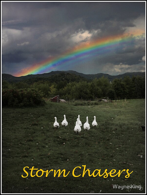 |
| Storm Chasers |
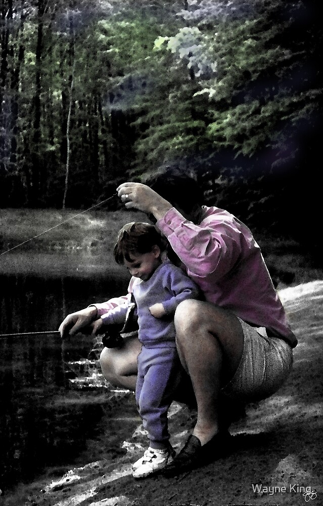 |
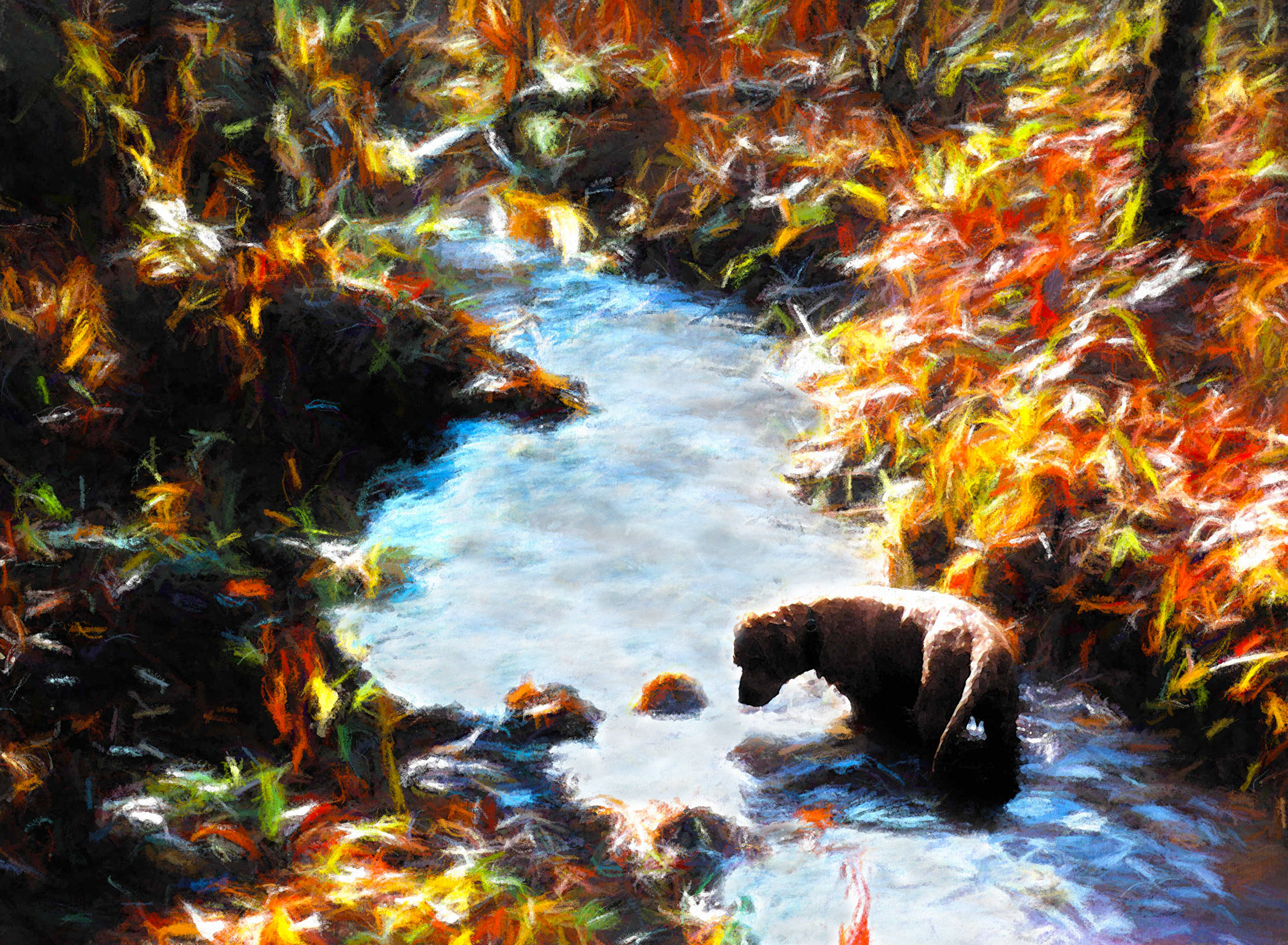
| Learning to Fish |

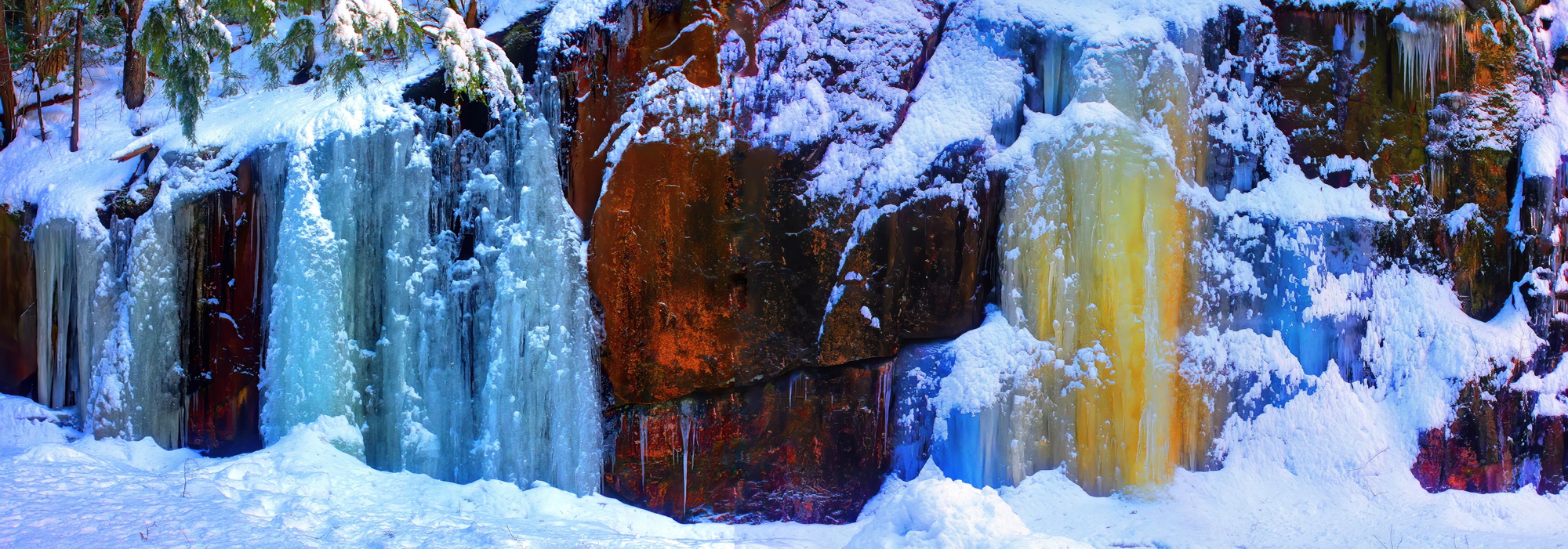 |
| Blue and Gold Icefall - Metal Print Limited Edition Signed Originals Unsigned Open Edition Prints |
 |
| Red Storm at Sunset Original Print. Open Edition Prints |

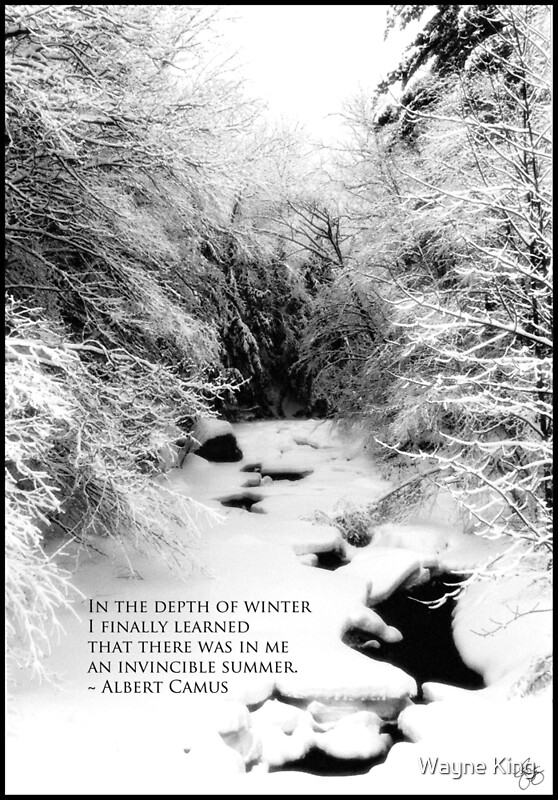
Albert Camus Quote
"In the depth of winter
I finally learned
that there was in me
an invincible summer."
~ Albert Camus

 |
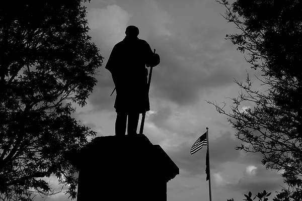
| Webster's Confidence |
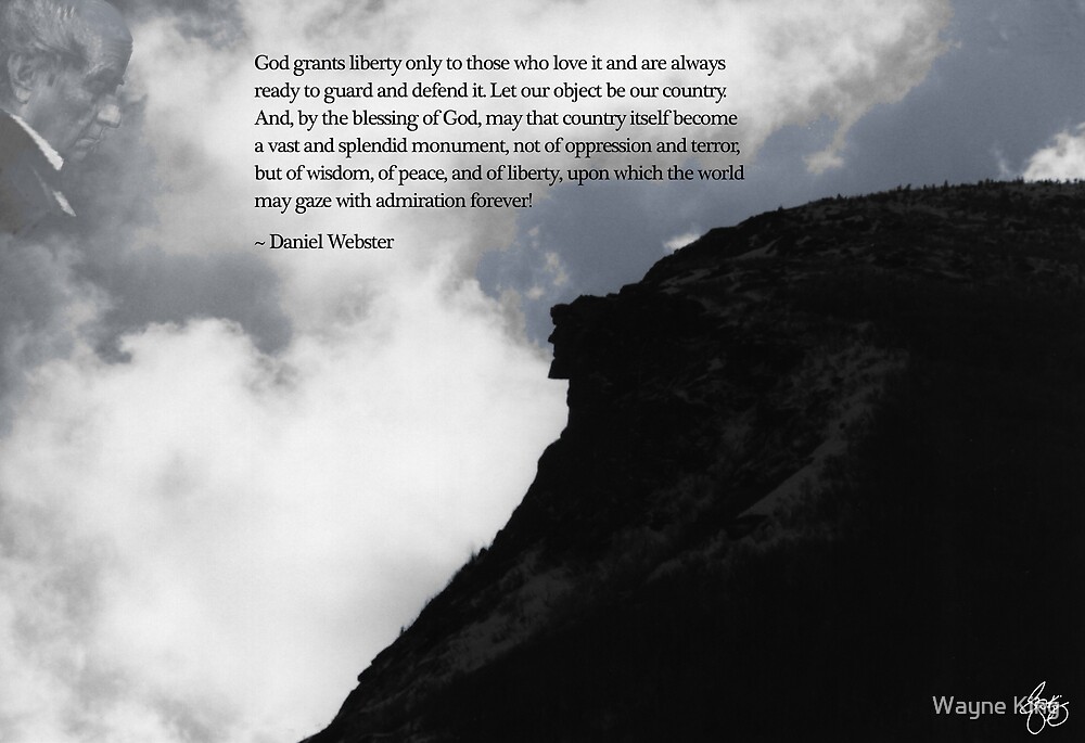 |
| Webster - Wisdom, Peace, Liberty |
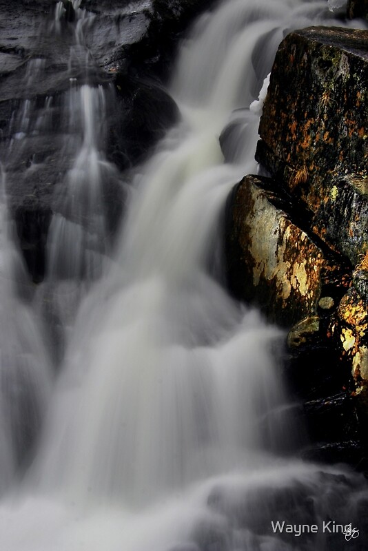
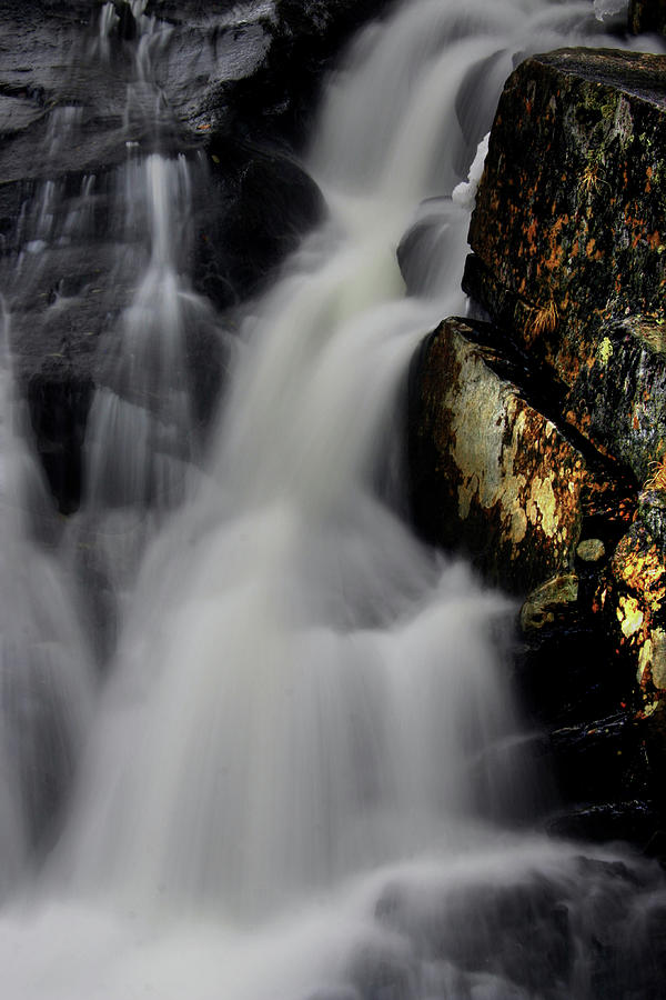
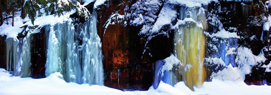
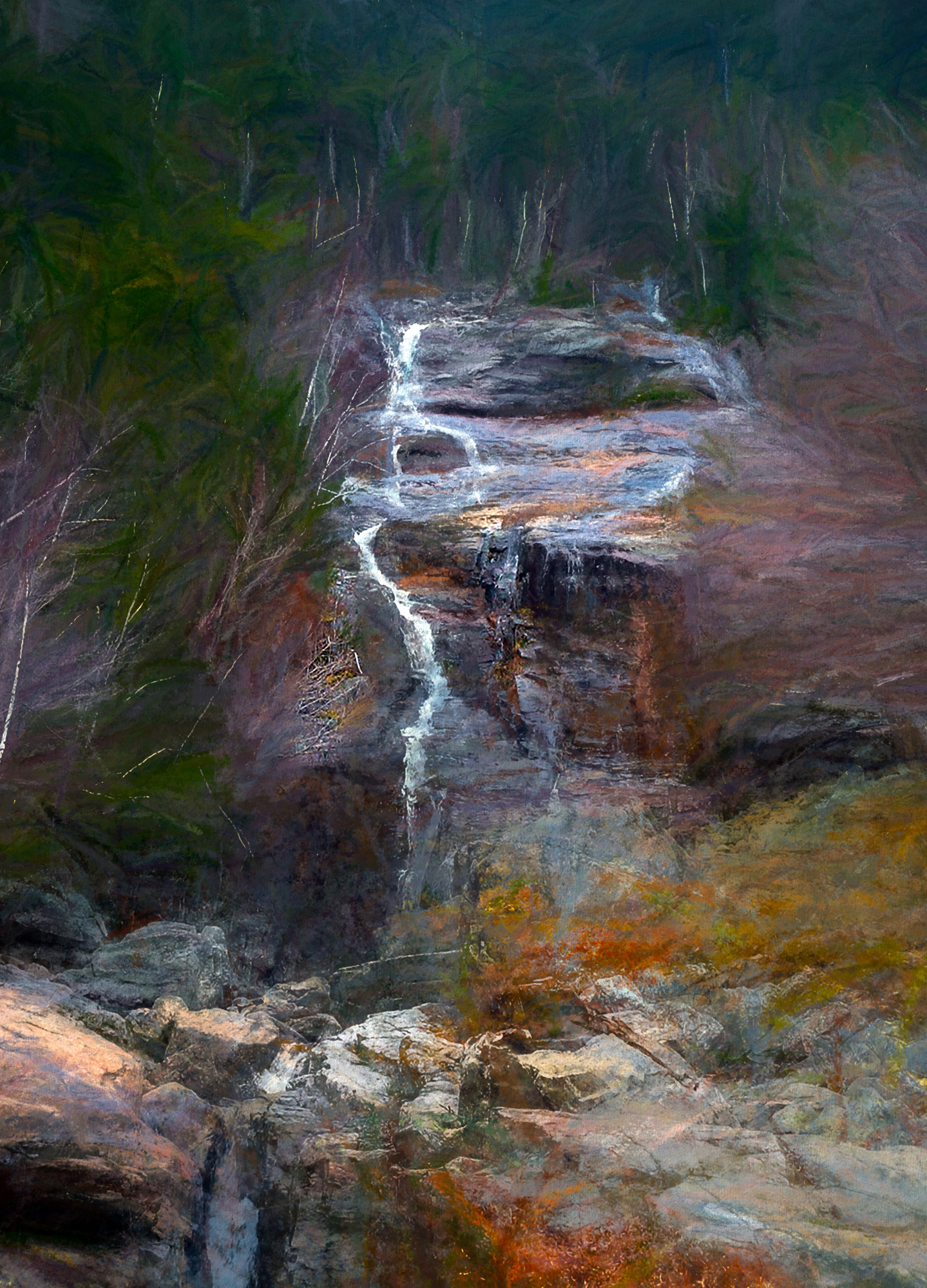
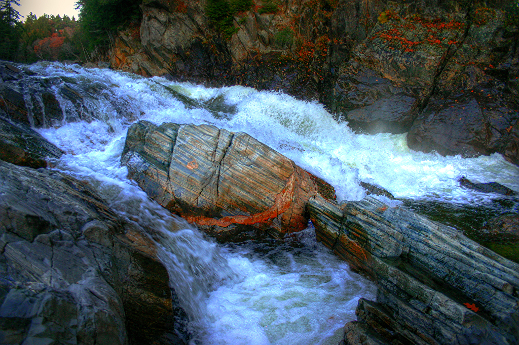
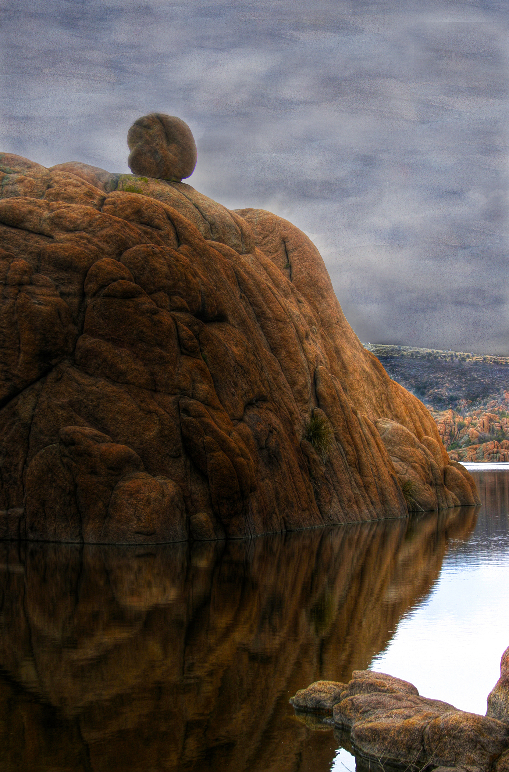
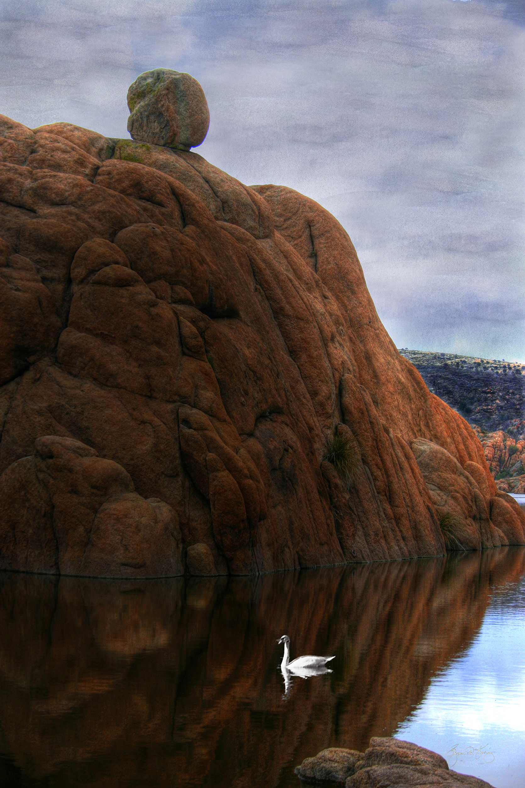
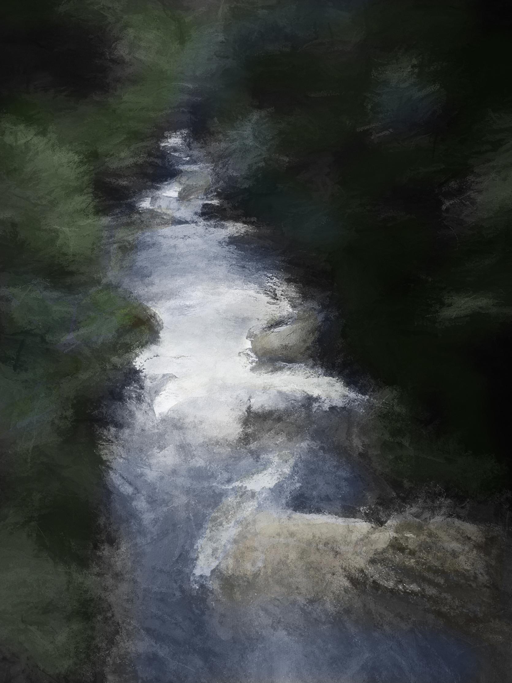
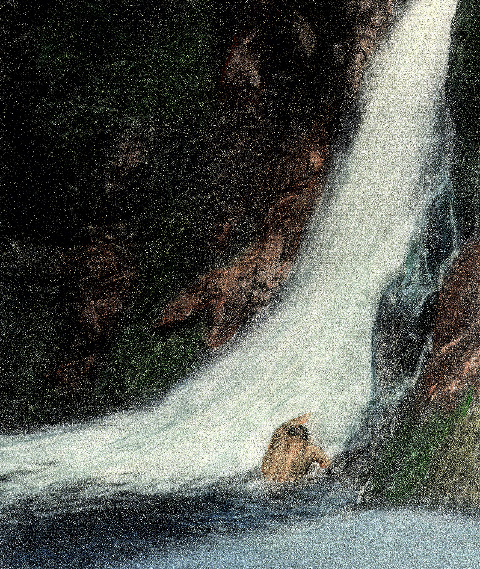
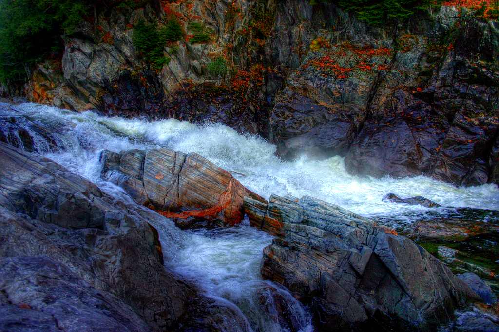
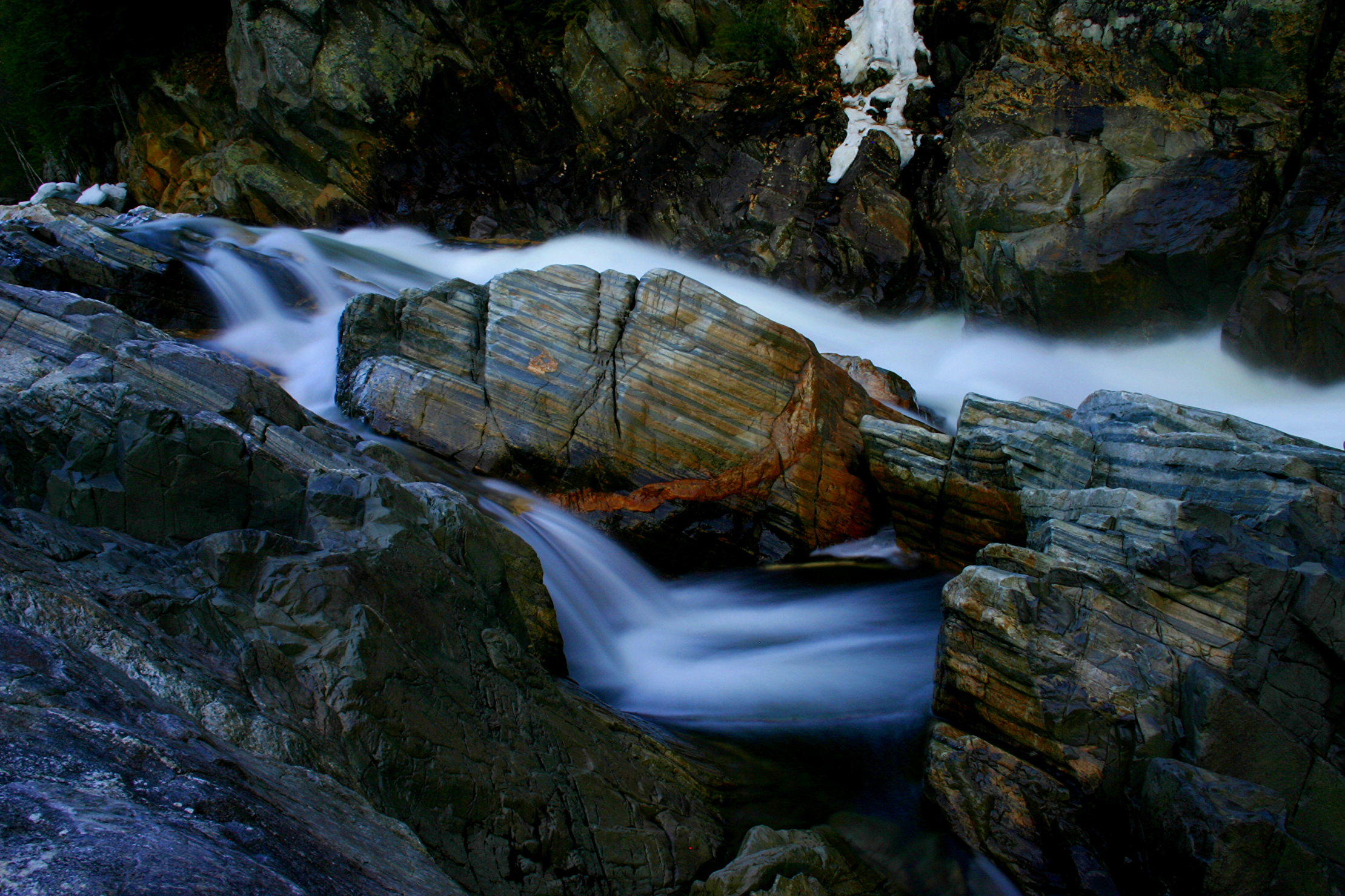
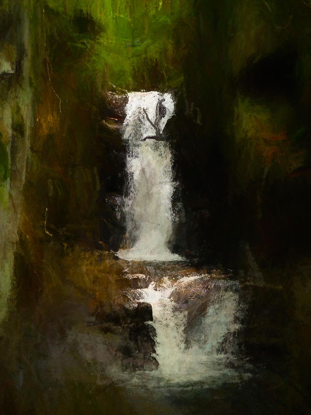
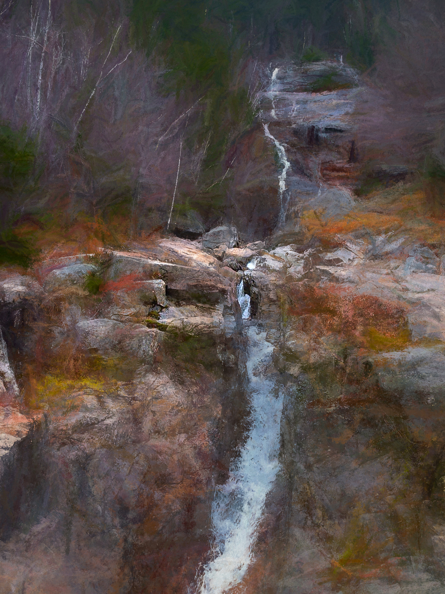
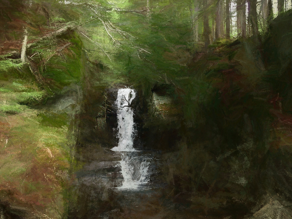
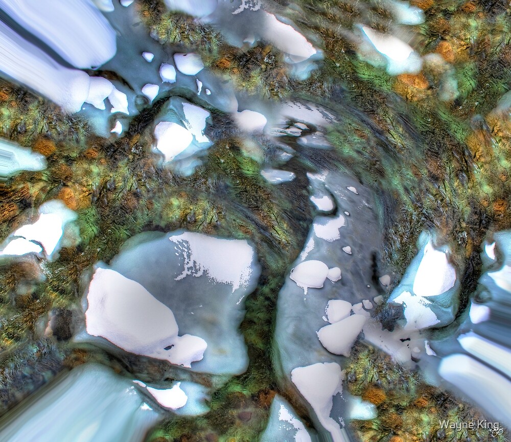
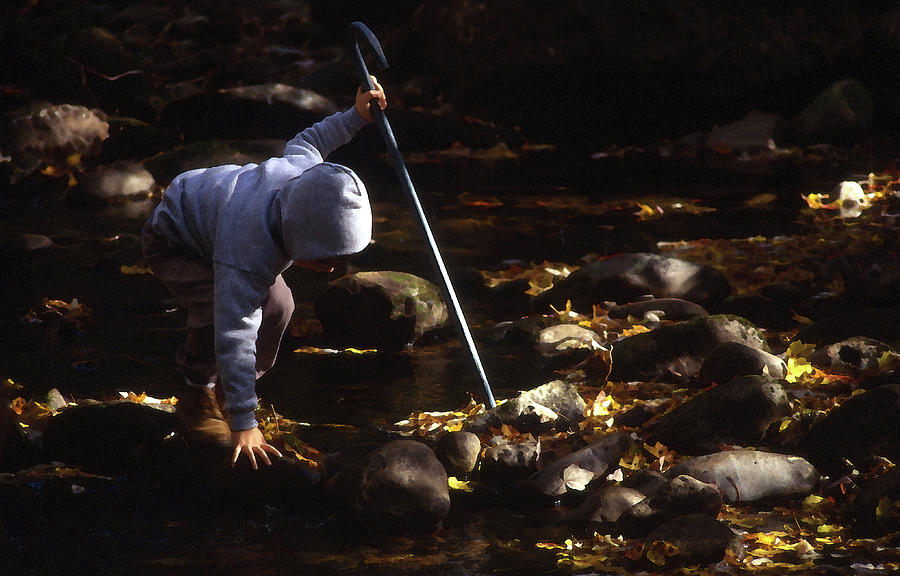
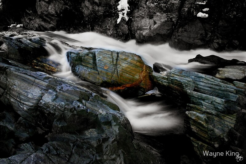
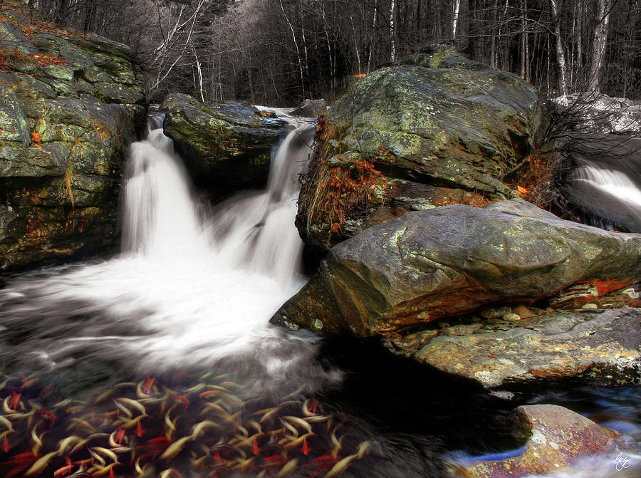
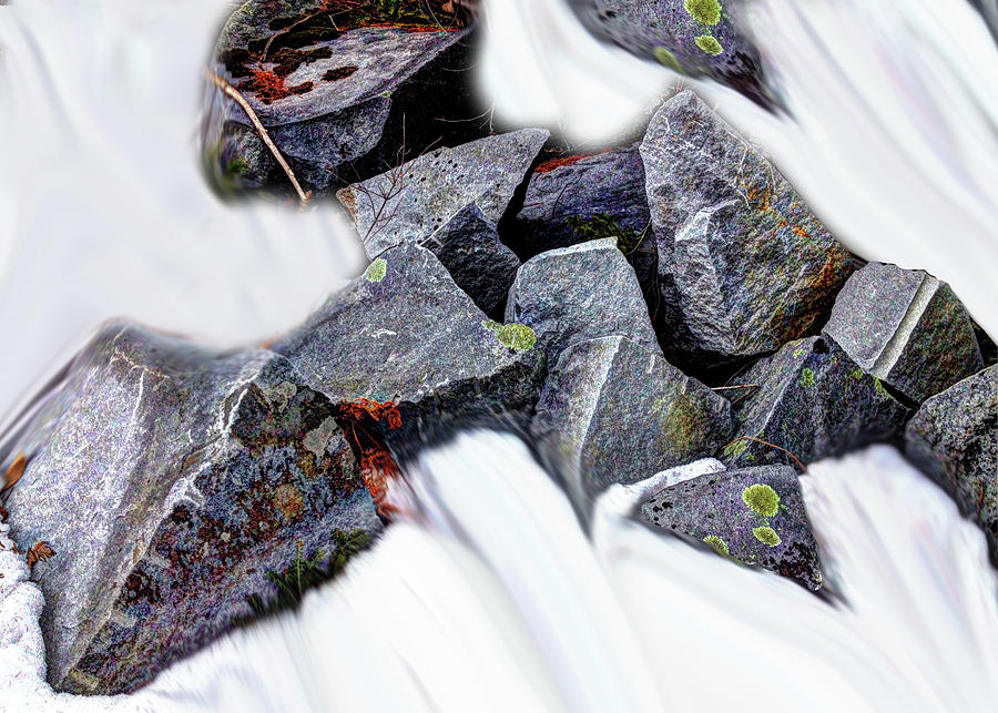
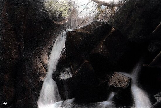
A small cascade flows past a colorful rock outcropping on Stinson Brook in Rumney, NH. Only one edition of 10 original prints of this image is created, signed, dated and with a certificate of authenticity. The image is used for creation of a digitally initialed open edition but otherwise archived and kept only for historic purposes and publications. To purchase an original, printed on 100% cotton rag fine art paper with archival inks or an open edition print click here: http://bit.ly/2d2pR7o
To purchase this image on a 5x7 card with an envelope click here: https://www.zazzle.com/river_dance_card-137867081481657965
 |
| Lupine Spike Impressions Signed Originals. Unsigned Open Edition Prints |
 |
| Ghost Wash Signed Originals. Unsigned Open Edition Prints |
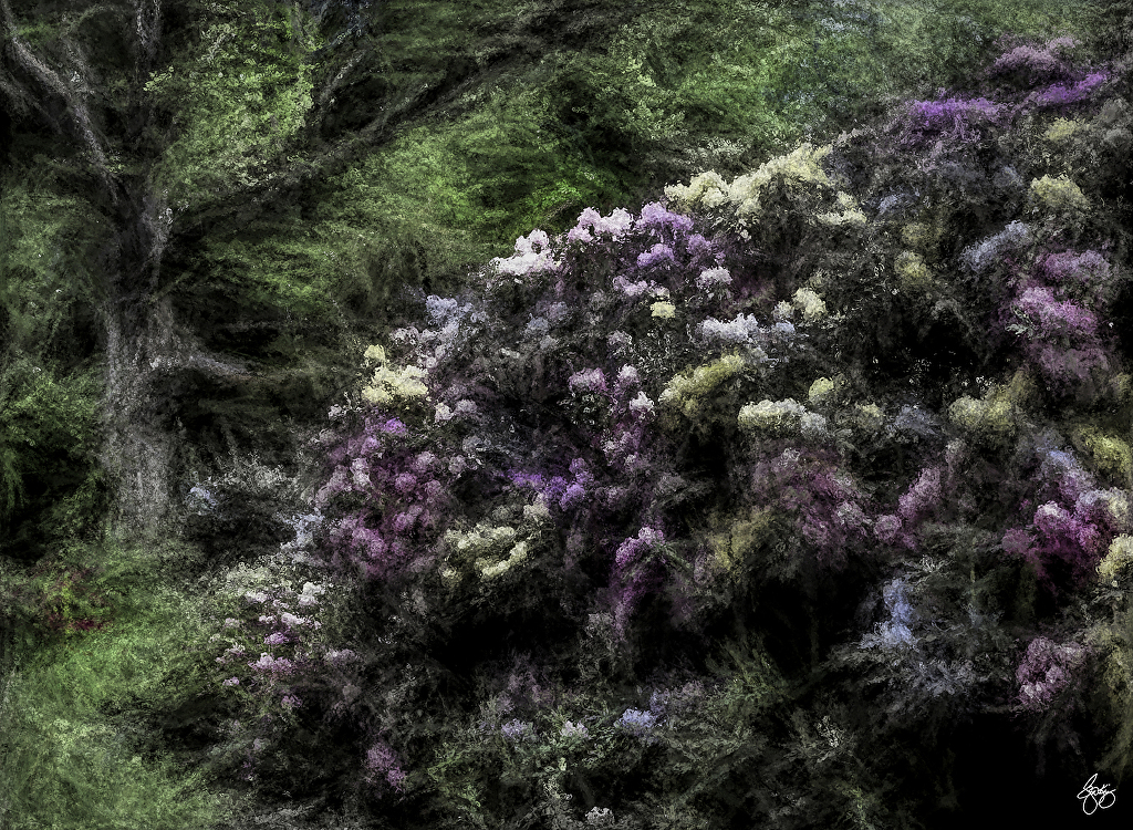 |
| Rhodedendron Explosion Signed Originals. Unsigned Open Edition Prints |
 |
| Wisdom Begins in Wonder Signed Originals. Unsigned Open Edition Prints |
 |
| Peace Comes in a Blue Wood Signed Originals. Unsigned Open Edition Prints |
 |
| Sledders Return |
|
| Arch Window in an Ancestral Dream Signed originals. Open edition prints |
 | |||||||||||||||
Pontook Birch
|


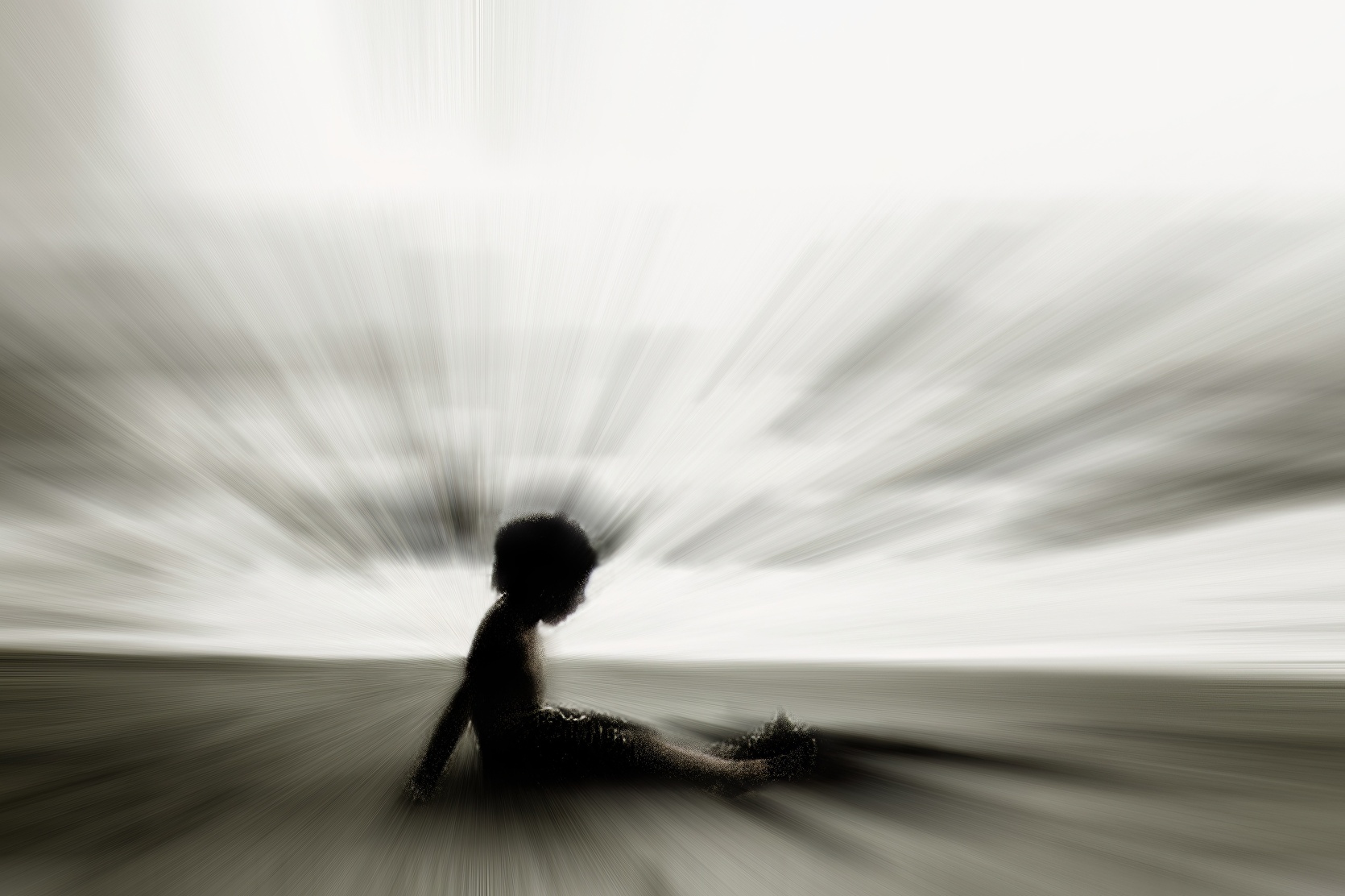
Life's a Beach -
Fine Art Poster - 23"x31": $34.34
Silhouette of a
young boy sitting on the beach. Fine art poster.
Shop this product
here: http://spreesy.com/waynedking/260
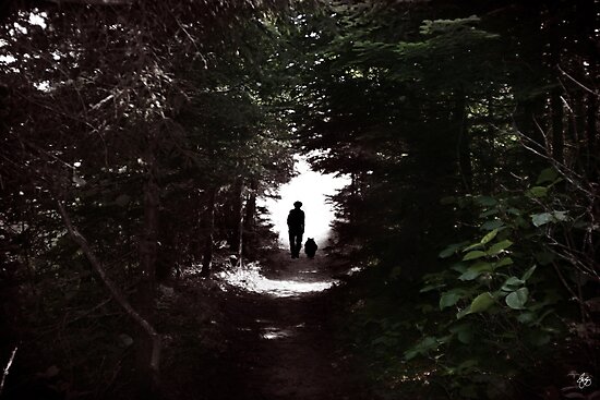
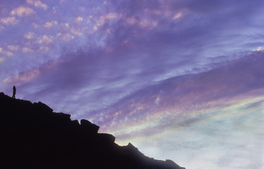
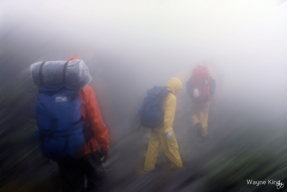
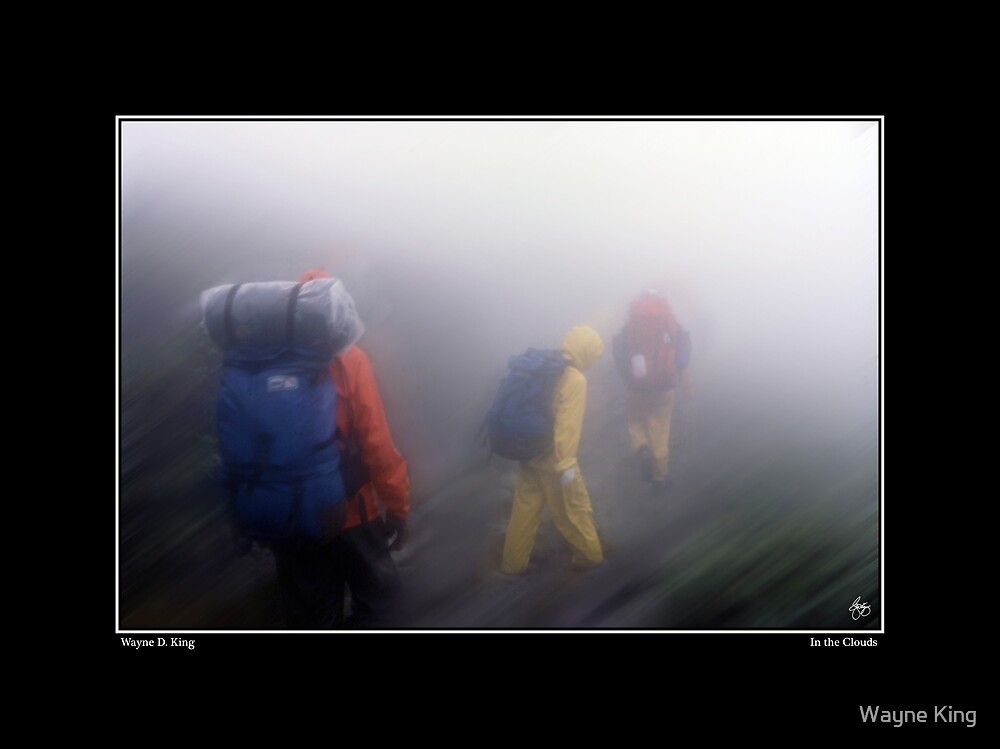
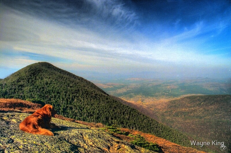
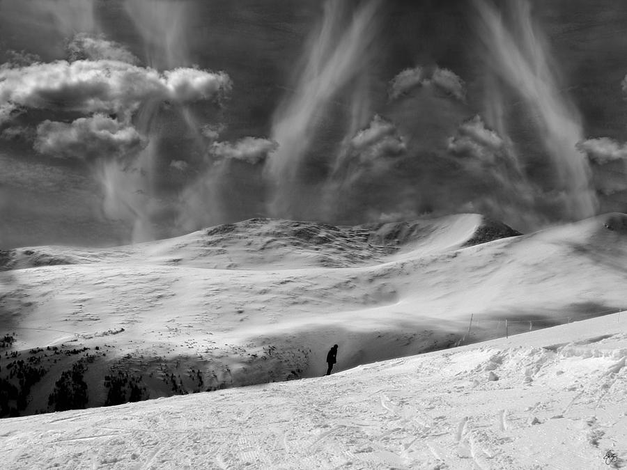
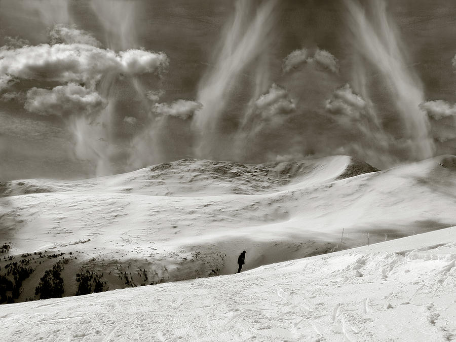
A hiker and his dog walk the last hundred yards to the summit of Mount Willard
in northern NH. Dedicated to my friend Charlie Feuer who introduced me to this amazing hike!
in northern NH. Dedicated to my friend Charlie Feuer who introduced me to this amazing hike!
Hand colored monochrome image. Both the Original and Open edition prints are available here.
 |
| Lakota Prayer Fine Art Poster |
 |
| Changing Course |
 |
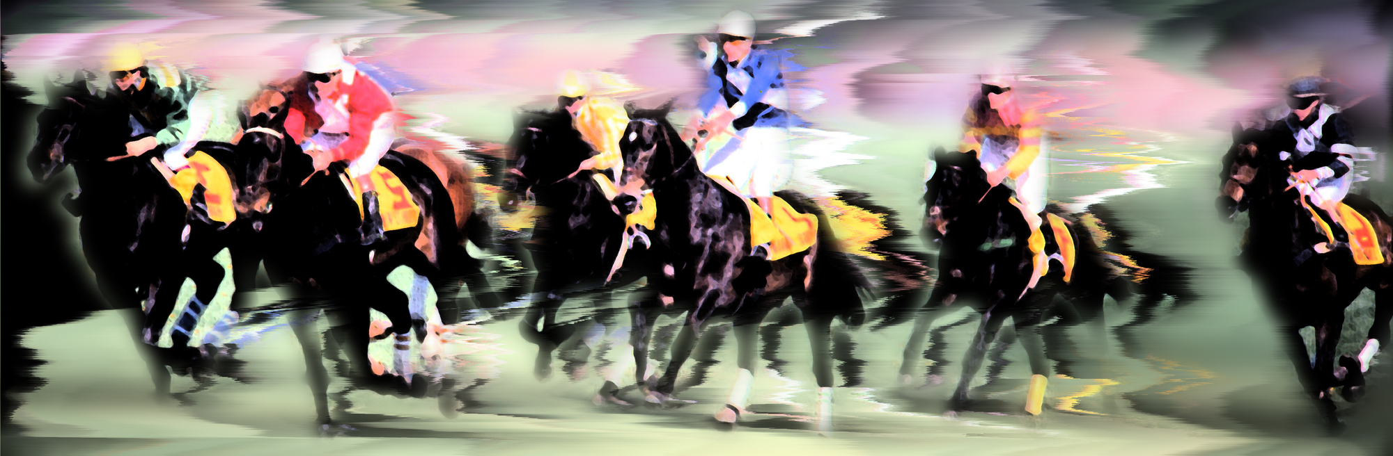
| Steeple Chase Colors |

 |
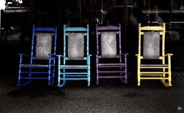
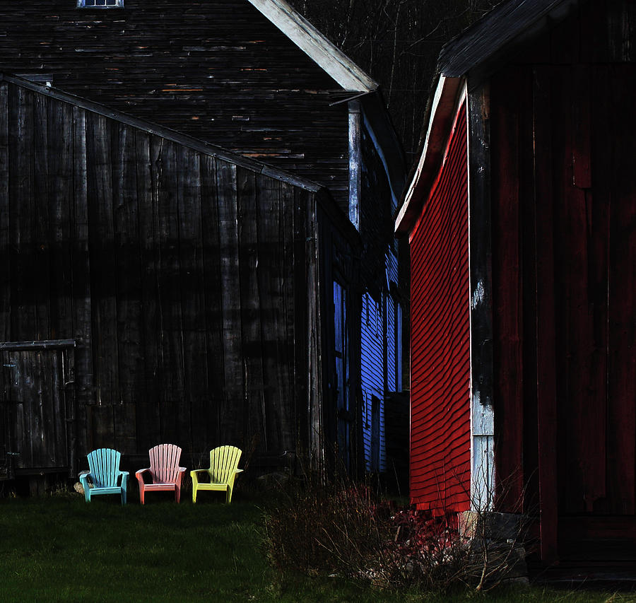
| Four Chairs |
 |
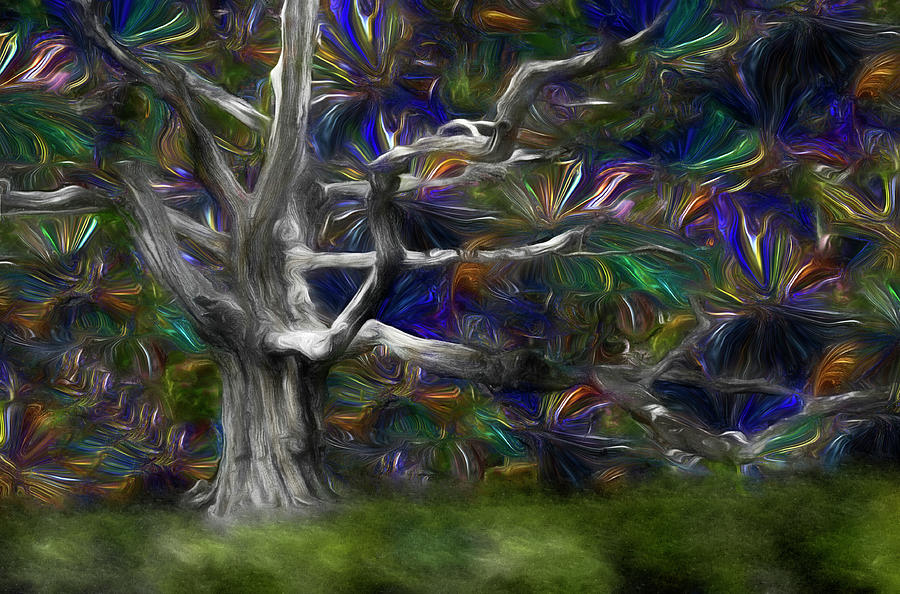
| The Metamorphosis |
 |
| The Eye of the Stone |
 |
| Towering Independence in Aspen Signed Originals. Unsigned Open Edition Prints |
 |
| Legends of the Fall at Eagle Pond Farm Signed Originals Unsigned Open Edition Prints |
 |
| Wind in the Alabama Hills - Eastern Sierras |
|
| Changing Course |
 |
| Mill Falls Mindscape Signed Originals. Unsigned Open Edition Prints |
 |
| A Drink from Halls Brook Signed Originals. Unsigned Open Edition Prints |
Fine Art Poster
 |
| The Rising Too |
 |
| Spring's Dance of Form |
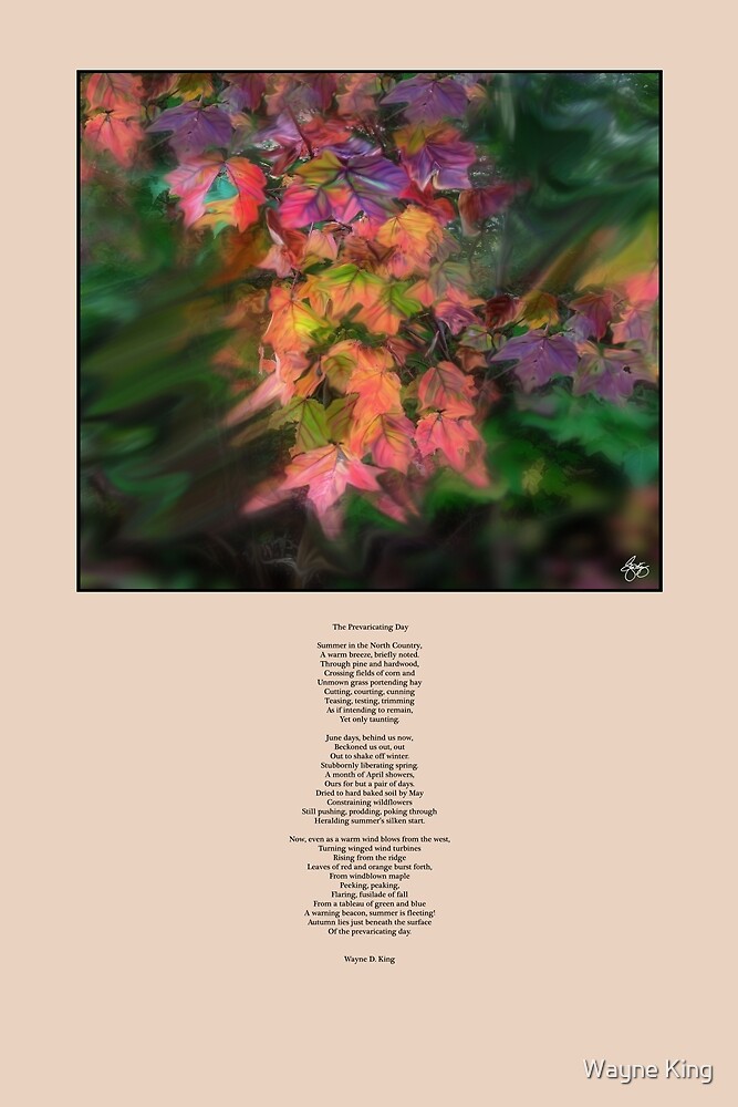 |
| The Prevaricating Day Signed Originals Unsigned Open Edition Prints |
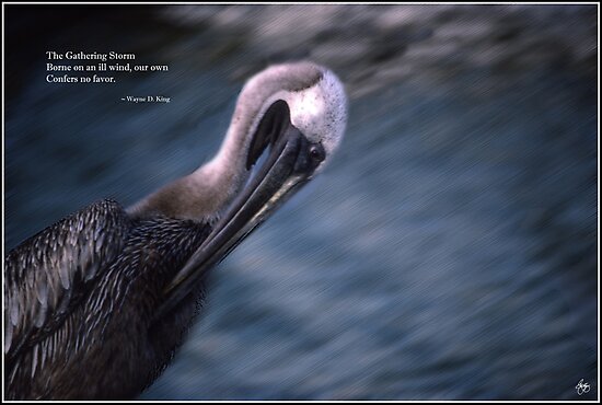 |
| The Gathering Storm Haiku Signed Originals. Unsigned Open Edition Prints |
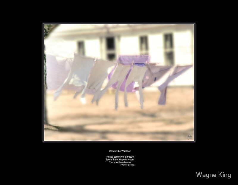 |
| Wind in the Washline Haiku |

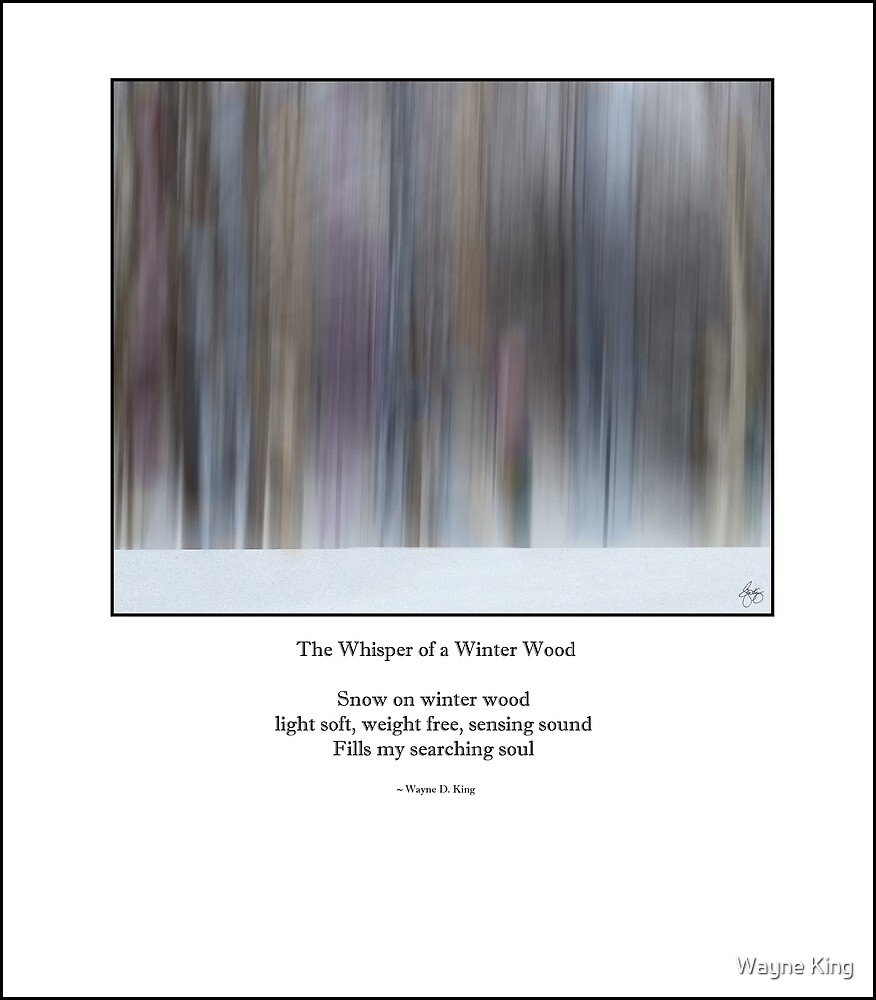 |
| Whisper of a Winter Wood Haiku Signed Originals Open Edition |

 |
| Moonrise Over Newfound Lake Signed limited Edition |
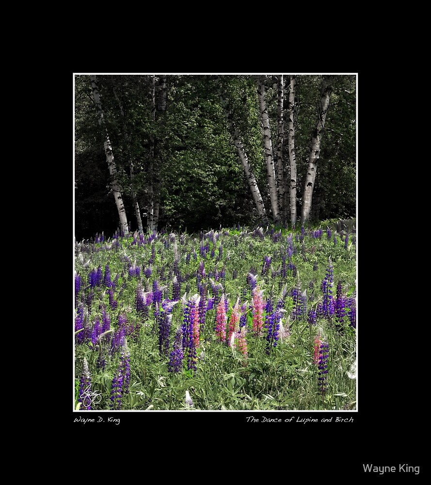 |
| Dance of Lupine and Birch Poster |
 |
| Aspen Grove, Independence Pass |

 |
| First Snow on a Larch Bog |
 |
| Umbagog Monochrome |
 |
| Umbagog Trees |

 |
| Painted Sky Over Umbagog |
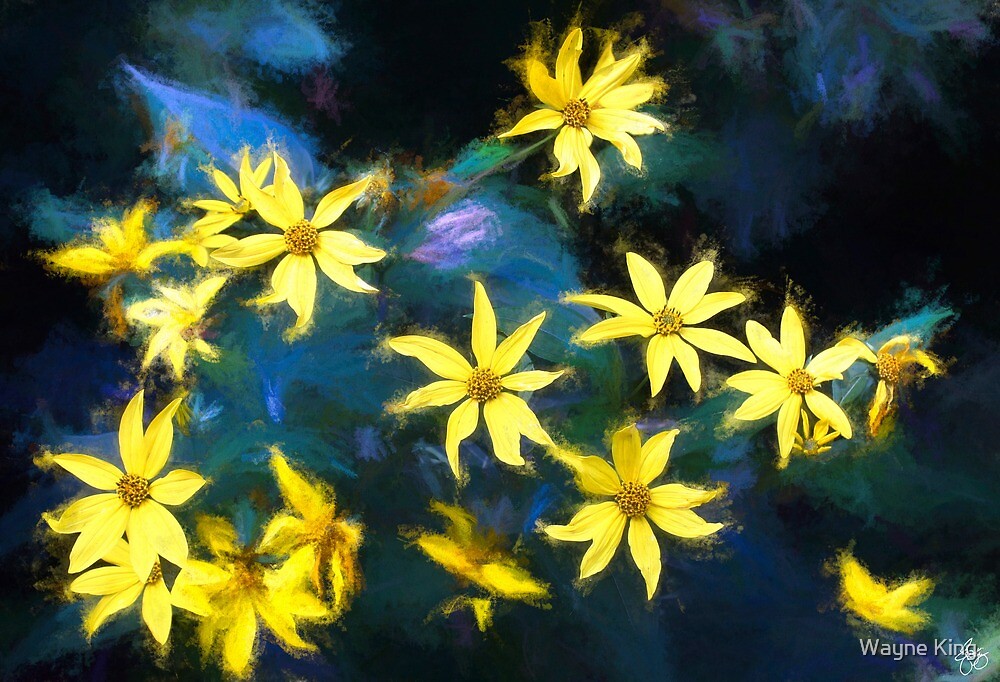 |
| A Galaxy of Daisies in Langdon Woods |
 |
| Dreams of the Trail |
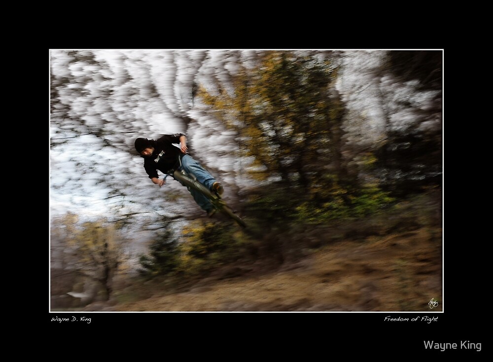 |
| Freedom of Flight Poster |
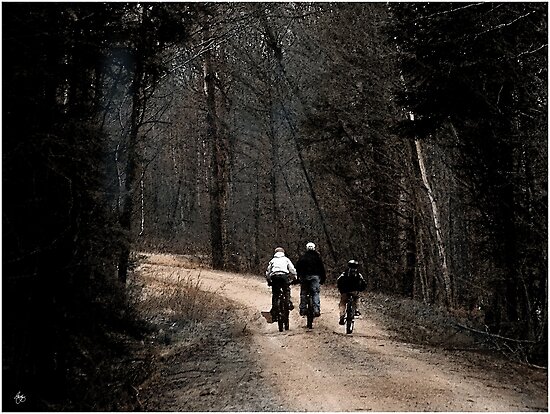 |
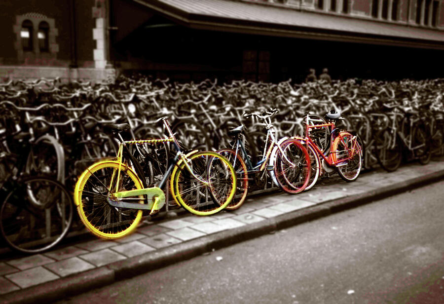
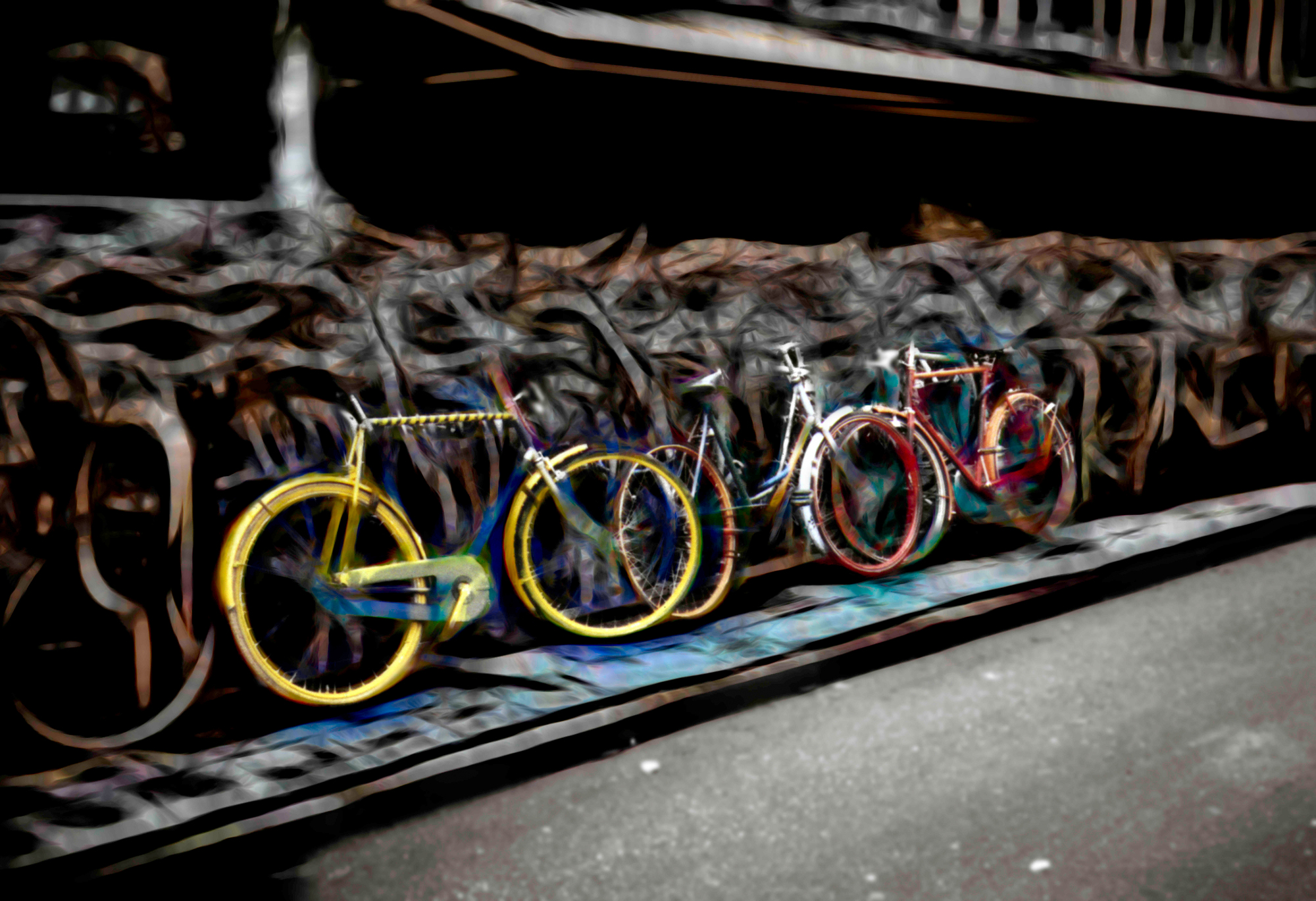
| Spring Bike Adventure |
 |
|
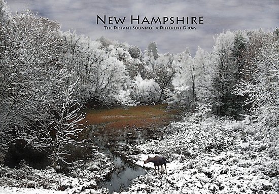
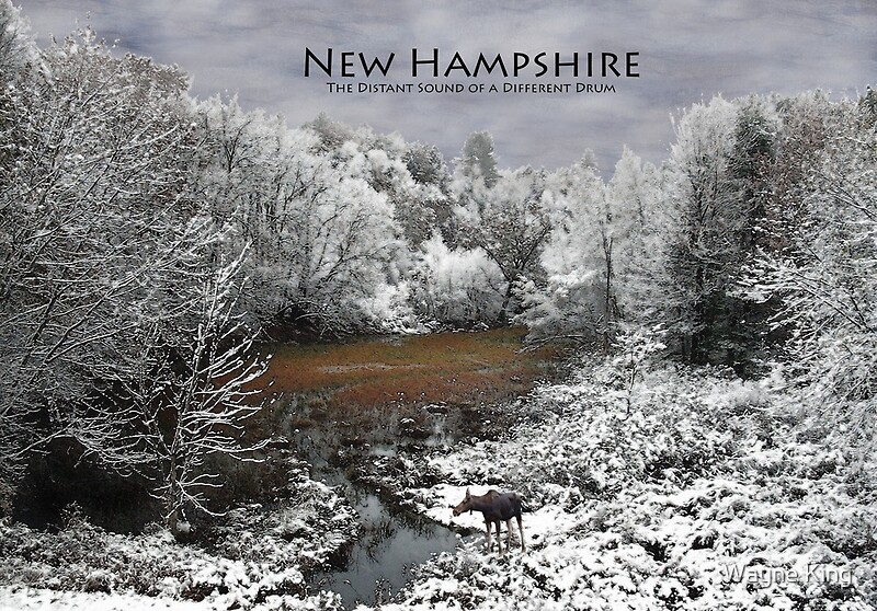
“The Distant Sound of a Different Drum”
|
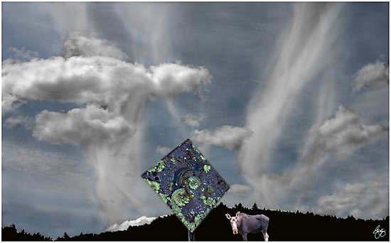 |
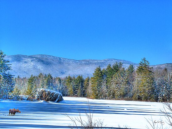
| Don’t Sweat the Small Stuff . . . But Break for Moose |
Moose & Deer Cards, Posters and Products
 |
| The Maples of George Road, Hebron, NH |
 |
| Storm Over Smith Bridge |
|
| Newfound Rendezvous Impressions Signed Originals Unsigned Open Edition Prints |
 |
| The Dump Run |
 |
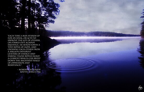
| Ripple of Hope Poster |
 For that special someone who loves Newfound Lake. Purchase smaller prints, framed or a poster. Order here |
 |
Signed Originals Unsigned Open Edition Prints
 |
| Snowfence Borealis Signed Originals. Unsigned Open Edition Prints |

 |
| Maple Ablaze at Sunset Signed Originals. Unsigned Open Edition Prints |
 |
| Light Paints the Dells Signed Originals. Unsigned Open Edition Prints |
 |
| Chapel at the Top of the Emerald Hill 1/1 Signed Original Signed Original Unsigned Open Edition Prints |
 |
| Cloud Dance 1/1 Original Signed Original Unsigned Open Edition Prints |
 |
| The Dreamcatcher's Legacy 1/1 original Signed Original. Unsigned Open Edition Prints |
 |
Highland Storm #5 On Point in the Lupine |
 |
Maple Sky West 8x20” Edition of 10 |

 |
| Indian Summer Cards Fine Art Prints |
 |
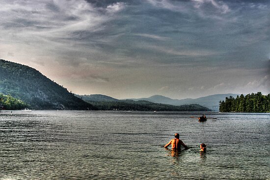
| Dusk Swim at Newfound Lake |
 |
| "Sumac Moon" Cards Fine Art Prints |
 |
| "Indian Pony in the Granite Dells" Cards Fine Art Prints |
 |
| Dreamcatcher's Legacy Cards Fine Art Prints |
 |
Mt Kearsarge Pow Wow Dancer |
 |
| Granite in a Snowstream Signed Originals. Unsigned Open Edition Prints |
 |
| Floating Flower Mindscape Signed Originals Unsigned Open Edition Prints |
 |
| Hole in the Wall Monochrome Signed Originals. Unsigned Open Edition Prints |
 |
| A Sliver of Light on the Pasture Signed Originals. Unsigned Open Edition Prints |
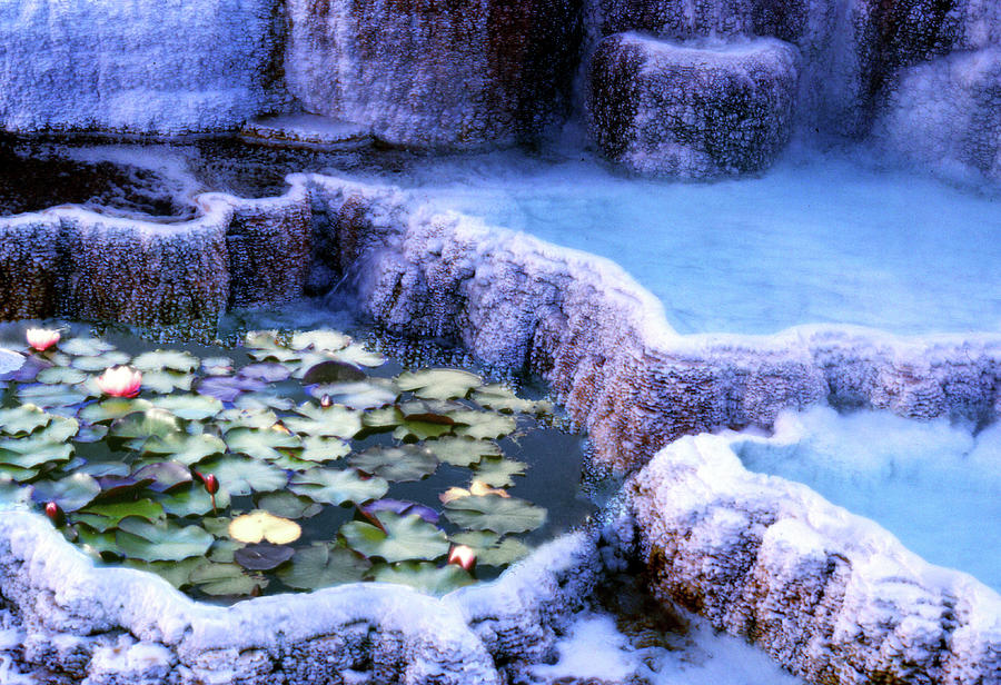 |
| Hotsprings and Lilies |
| |
Hotsprings and Lilies
|
 |
| A Glow of Lilies Cards Fine art Prints |
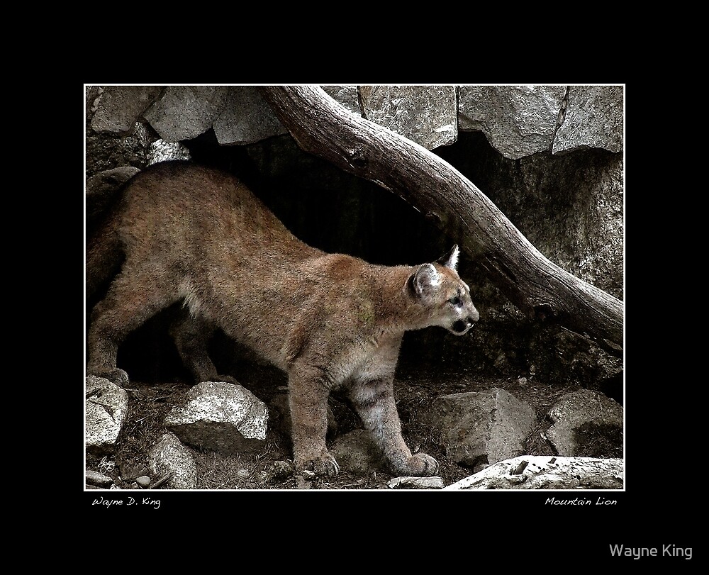 |
| Mountain Lion Poster |
 |
| Chapel in the Lupine Cards Open Edition Fine Art |
|
| Apple in Autumn, Signed Original |
 |
| Renoir's Field Signed Originals Unsigned Open Edition Prints |
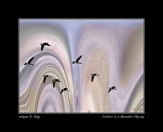 |
| Colors in a Borealis Flyway Poster |
 |
| Twin Maples of a Different Color |
 | ||
Love in a Larch Wallow
|

 |
| Snowy Egret in an Everglades Swamp Signed Originals. Unsigned Open Edition Prints |
 |
| Bracing Against the Storm Signed Originals. Unsigned Open Edition Prints |
|
| Storm at Cottonwood End Signed Originals. Unsigned Open Edition Prints |
 |
| Alexandra's Ancient Oak Signed Originals. Unsigned Open Edition Prints |
 |
| Best Friends Dreams Signed Originals. Unsigned Open Edition Prints |
 |
| Pony Parade Signed Originals. Unsigned Open Edition Prints |
 |
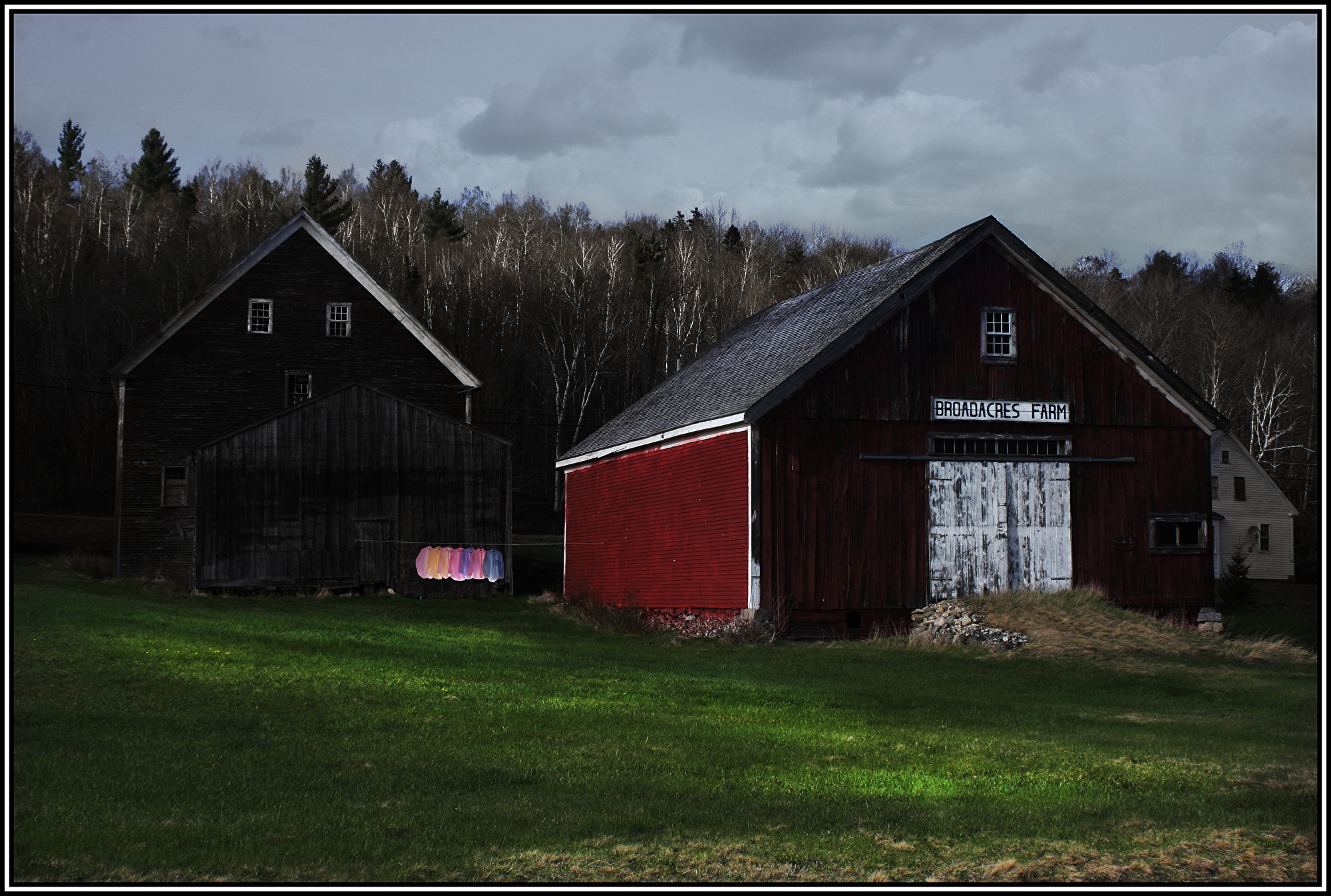
| Broadacres Farm Colors |
| |||||||||||||||||||||||||||||||||||||||||||||||||||||||||||||||||||||||||||||||||||||||||||||||||||||||||||||||||||||||||||||||||||||||||||||||||||||||||||||||||||||||
| Twice Told Autumn Shower Original Open edition
Signed Originals
|


 |
| The Drive Home - Mexico |
 |
| Pow wow Colors 20x30 Signed Originals 20x30. Unsigned Open Edition Prints |
 |
| The Dreams of Deer #2 |
 |
| Sandstone Moon Monochrome Signed Originals. Unsigned Open Edition Prints |
 |
| Sandstone Moon Over Arches National Park Signed Originals Unsigned Open Edition Prints |
 |
| Bottle Gentian Mindscape |
 |
| Workout Washday Impressions Signed Originals Unsigned Open Edition Prints |
 |
| Blue Lichen Signed Originals Unsigned Open Edition Prints |
 |
| Lupine in the Shadow of Cannon Mountain |
 |
| Last Light thru Alder Leaves Signed Originals Unsigned Open Edition Prints |

 |
| Seeonee Sunset |
For a signed original of this image, click here
 |
| Conversation in the Square Signed Originals. Unsigned Open Edition Prints |
 |
| The Morning Dip Signed Originals Unsigned Open Edition Prints |
 |
| Bear Right for Lichen |
 |
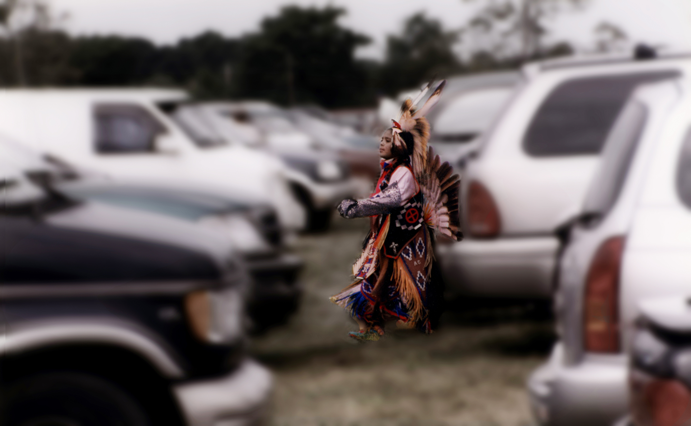
| Passing the Torch at Dartmouth Pow Wow |
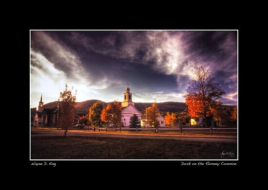 |
| Dusk on the Rumney Common Poster |
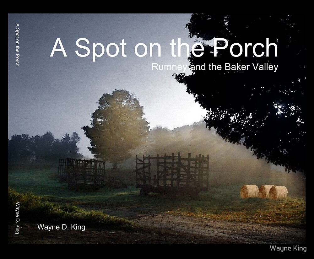 |
Paperback: $34.99 http://bit.ly/SpotonPorchPaper Hardcover: $54.88 http://bit.ly/SpotonPorchHard |
 |
A Light in the Attic Cards Fine Art Prints
|
 |
| Three Lights in a Barn |
 |
| First Grand March |
 |
| Red Maple Abstract |
 |
| Flowerheads in the Afternoon Sun Signed Originals. Unsigned Open Edition Prints |
 |
| Afternoon Light on a Porch Washline Signed Originals. Unsigned Open edition prints |
 |
| A Dog's Life Mexico, Monochrome Signed Originals. Unsigned Open Edition Prints |

Jefferson Lupine Scape Purchase Open Ed prints

Poplar Shadows

A Dogs Life in Mexico
|


 |
| The Curious Trio |
 |
| Burro Rider - Puerta Vallarta, Mexico |
 |
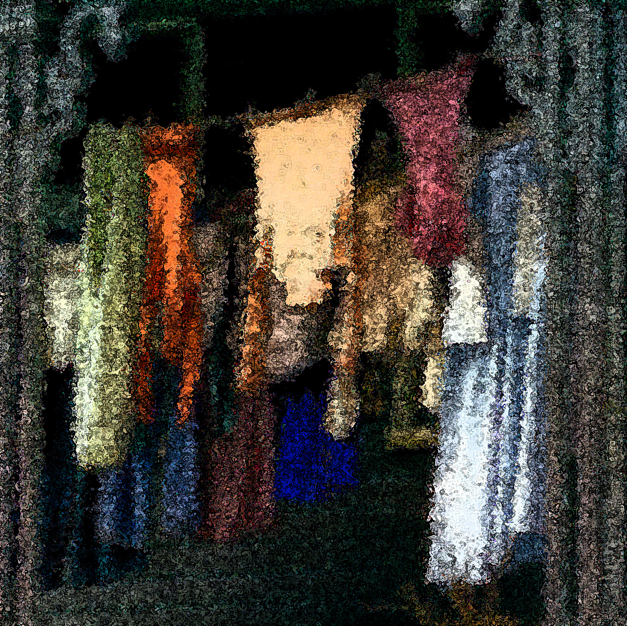
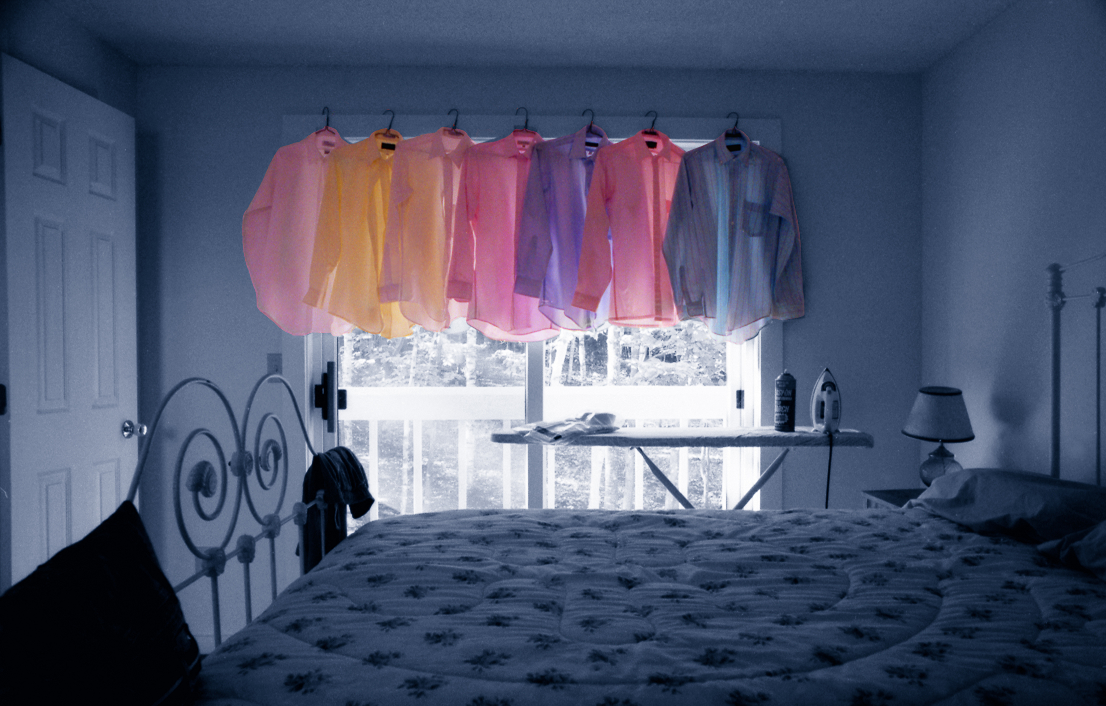
| Ironing Adds Color to a Room |
Signed Originals
16x24: $695. https://www.waynedking.com/workszoom/3646357#/
25x40" $895. https://www.waynedking.com/workszoom/3646359#/
 |
| The Fountain of Life |
 |
| The Painted Rhodie |
 |
| Oak Rhodie Panorama |
 |
| Egret Glow |
 |
| A Ripple of Hope Signed Originals. Unsigned Open Edition Prints |
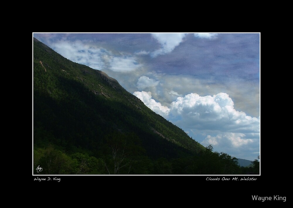 |
| Clouds Over Mt Webster Poster - Click Here. |
 |
| Lost River - Hand painted Monochrome click here |
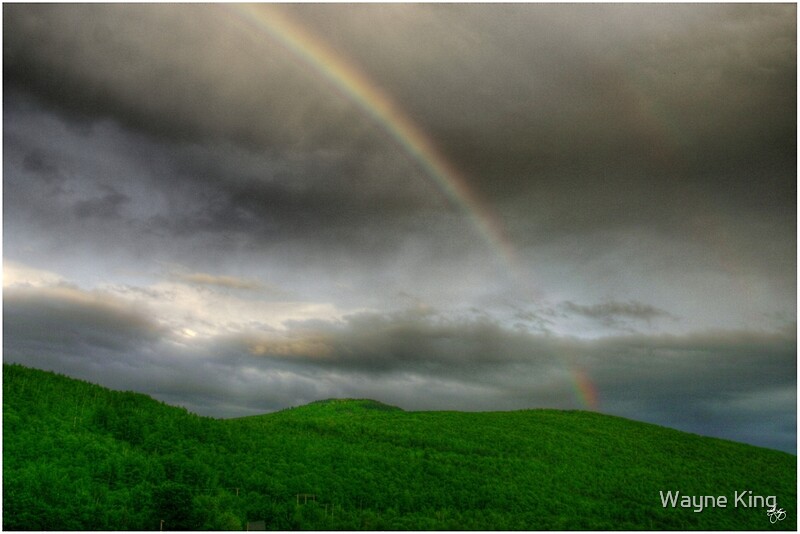 |
| Rainbow Over the Mahoosucs |
 |
| Guardian of the Mahoosucs |
 |
| Last Light on the Mt. Washington Hotel Signed Originals. Unsigned Open Edition Prints |
 |
| Ice, Snow and Stone |
 |
| Pale Lilies in a Platinum Storm |
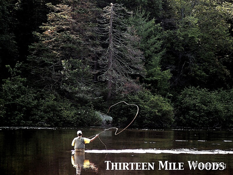 |
| Thirteen Mile Woods Poster |
|
| Painted Skies Over Umbagog |
 |
| The Owl |
 |
| Autumn in the Beet Green Forest |
 |
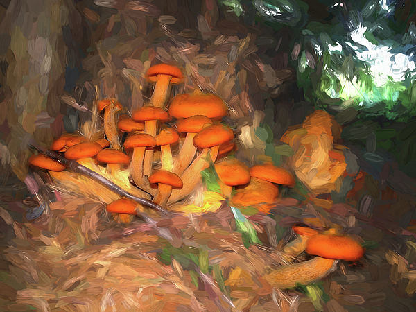
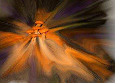
| Painted Fungus |
 |
| Sugaring Off |
 |
| Don't Sweat the Small Stuff . . . but do Brake for Moose |
 |
| Lone Moose on a Snowy Oxbow |
 |
| A Memory inside a Dream Signed Originals. Unsigned Open Edition Prints |
 |
| Moose in Profile Brook |
 |
| Lone Moose on Robartwood Pond |
 |
| New Hampshire Poster - Moose in First Snow |
 |
| Lupine in the Shadow of Cannon Mountain |
 |
| Cannon Cliffs in the Clouds |
 |
| Cannon Mountain Autumn Mindscape Signed Originals. Unsigned Open Edition Prints |
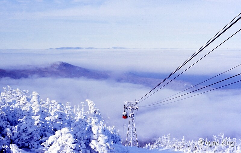 |
| Cannon Tram in the Clouds |
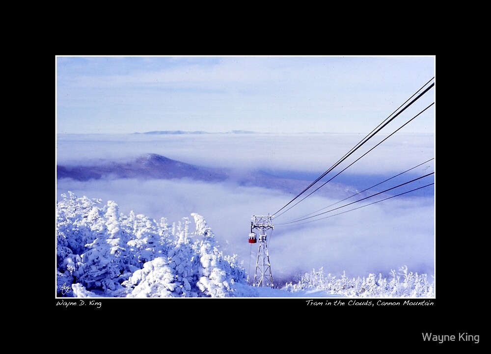 |
| Cannon Mountain Tram Poster |
 |
| A Marine's Pride |
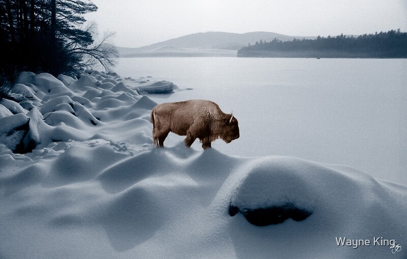 |
| Spirit Buffalo Before a Frozen Lake |
 |
 |
| Alton Washday Revisited |
 |
| Chapel on a Road to the Sun Monochrome Poster |
 |
Painted Sky Over Jericho Lake
|

 |
| An Autumn Pallet - Open Edition Prints |
 |
| Goose Over Stinson Lake |
|
| Colors in a Borealis Flyway |
|
| After the Dance - Fine Art Poster |
 |
| White Stallion in a Monochrome Dreamscape Signed Original. Unsigned Open Edition Prints |
 |
| Longview Farm Cows Signed Originals Unsigned Open Edition Prints |

 |
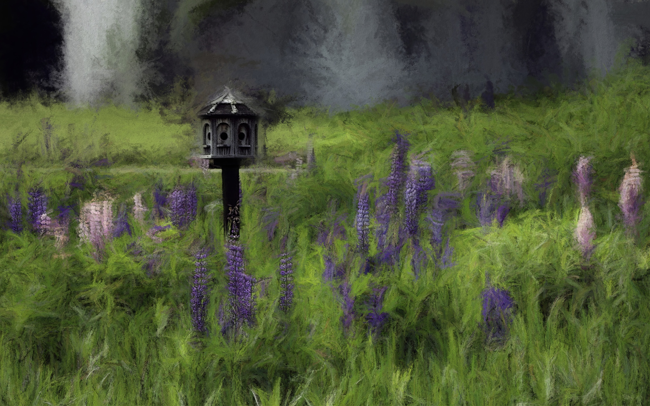
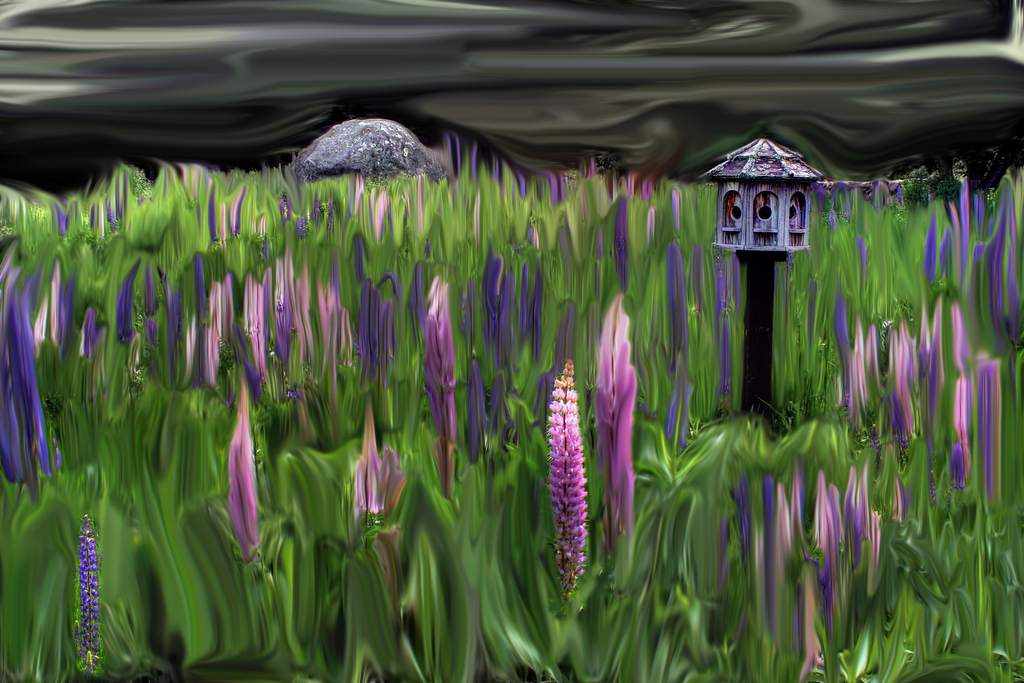
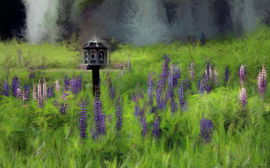
| Birdhouse in the Lupine |
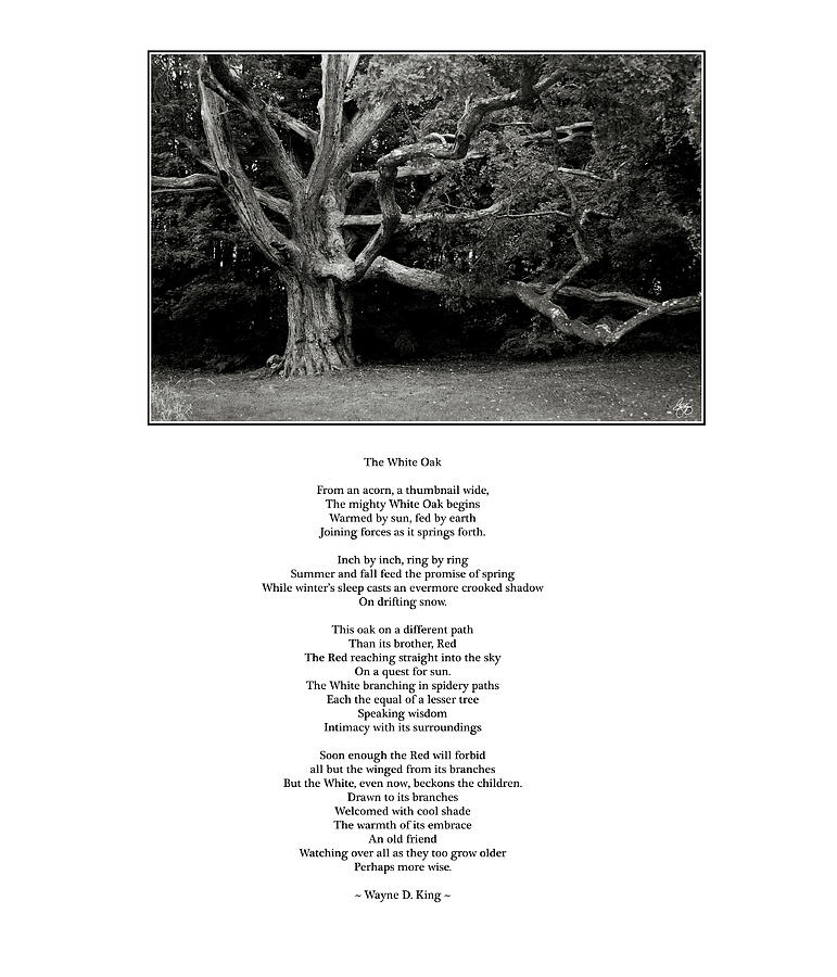 |
| The White Oak Poem |
 |
| Loon Island Misty Mindscape Signed Originals. Unsigned Open Edition Prints |
 |
| Birdhouse Blues |
 |
| The Bridge at Chappy |
 |
| Lories Dance |
 Ocean Borne Columbine  | ||
| Autumn in a Blue Pool - Signed Original. Unsigned Open Edition Prints |
 |
| Autumn in the Birches - Signed Originals |
 |
| On the Vineyard |
 |
| Lone Birch in the Snow Signed Originals. Unsigned Open Edition Prints |
 |
| Lone Pine in a Painted Sky Signed Original. Open edition Prints |
 |
| Painted Trim in the Clouds Signed Originals Unsigned Open Edition Prints |
 |
| Water Lily Dreams Signed Originals Unsigned Open Edition Prints |
|
| An Autumn Pallet - Original 15x20 Metal Print |
 | |
|
The Whisper of Winter Wood (Redux) Haiku
Mixed media image hand-painted monochrome with Haiku. This image is part of a developing series on climate change.
This image can be purchased in the following forms:
A signed limited edition original with a certificate of authenticity. Edition of 25 prints on fine art rag paper with archival inks $495, Click here.
Open Edition print 12"x14 $20.00 Click here
Open Edition print 12"x14 $20.00
Open Edition print 20"x23" $48.34 Click here
23" x 26" Poster $34.34 click here
 |
| Mixed Maples in an Autumn Pool Signed Originals. Unsigned Open Edition Prints |
| |
 |
| Birch Tapestry Signed Originals. Unsigned Open Edition Prints |
 |
| Awash in Nets - Originals |
 |
| Cornfield Expressions |
|
| Bra Line in Dominica Signed Originals Unsigned Open Edition Prints |
 | ||||||
Got Your Six
|

 |
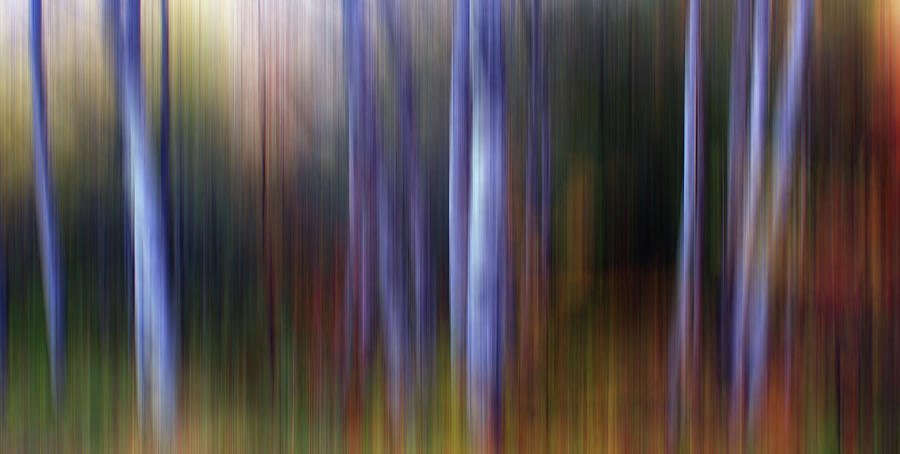
| Dark Wind in the Cedars |
 |
| Spirit Pony on a Foggy Pond |
 | ||
Painted Ponys Go Round and Round
|
 |
| Pausing Among the Narcissus - Open Edition |
 | ||
Simple Twist of Fate
|
 |
| A Flash of Color in Amsterdam - Signed originals |
 | ||||
Standing Out in the Mauve
|
 |
| A Vibrant Bend in the Lupine |
 |
| Nighties |
 | ||
Stern Squirt on the Pemigewasset River
|
 |
| Appaloosa Grazing Under Stormy Skies 1/1 Original Signed Originals. Unsigned Open Edition Prints |
 |
| California Cows at Sunset Signed Originals. Unsigned Open Edition Prints |
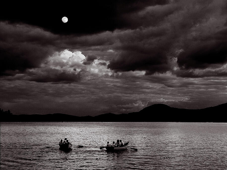 |
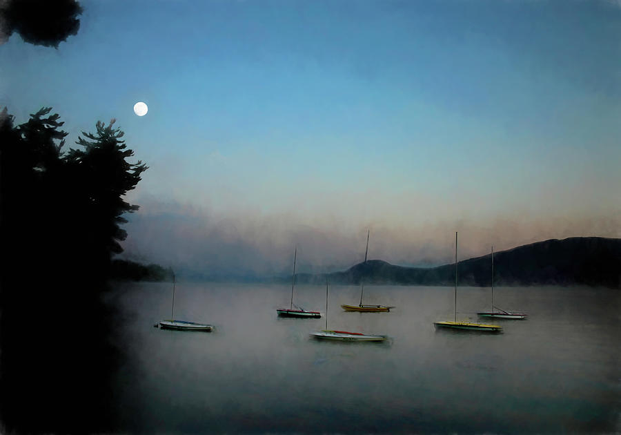
| Rowing by Moonlight |
 |
| Deep in a Dorchester Wood Signed Originals Unsigned Open Edition Prints |
 |
| Surf and Turf Signed Originals. Unsigned Open Edition Prints |
 | ||
| Lone Boarder Monochrome Signed Originals. Unsigned Open Edition Prints
|
 | |||
|
 |
| Apples in a Hedgerow No 1 - Original |
Mowglis images
Your purchases of images from the Mowglis gallery benefit the Podcast
and make it possible to produce these podcasts without advertisements. 50% of proceeds are donated to Mowglis in your name with the remaining 50% helping to offset the cost of producing and hosting the podcast.
 |
| Chapel Path in Winter - Chief Seattle Poster |
 |
| Gathering Courage for the Jump Signed Originals Unsigned Open Edition Prints |
 |
| Presidential Phlox Storm Signed Originals Unsigned Open Edition Prints |
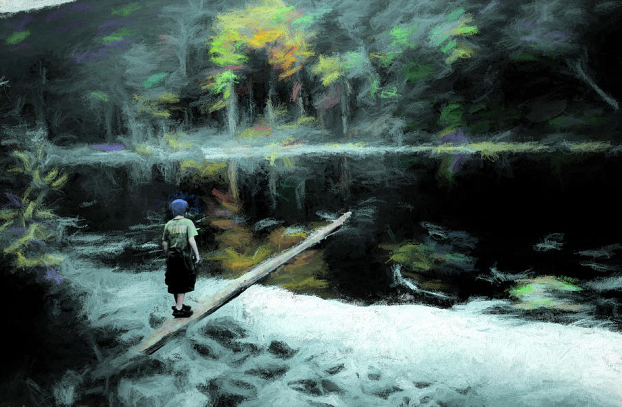 |
| Balancing on a Log Signed Originals. Unsigned Open Edition Prints |
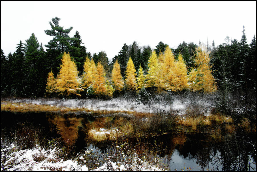 |
| Snow Paints the Larches Signed Originals. Unsigned Open Edition Prints |
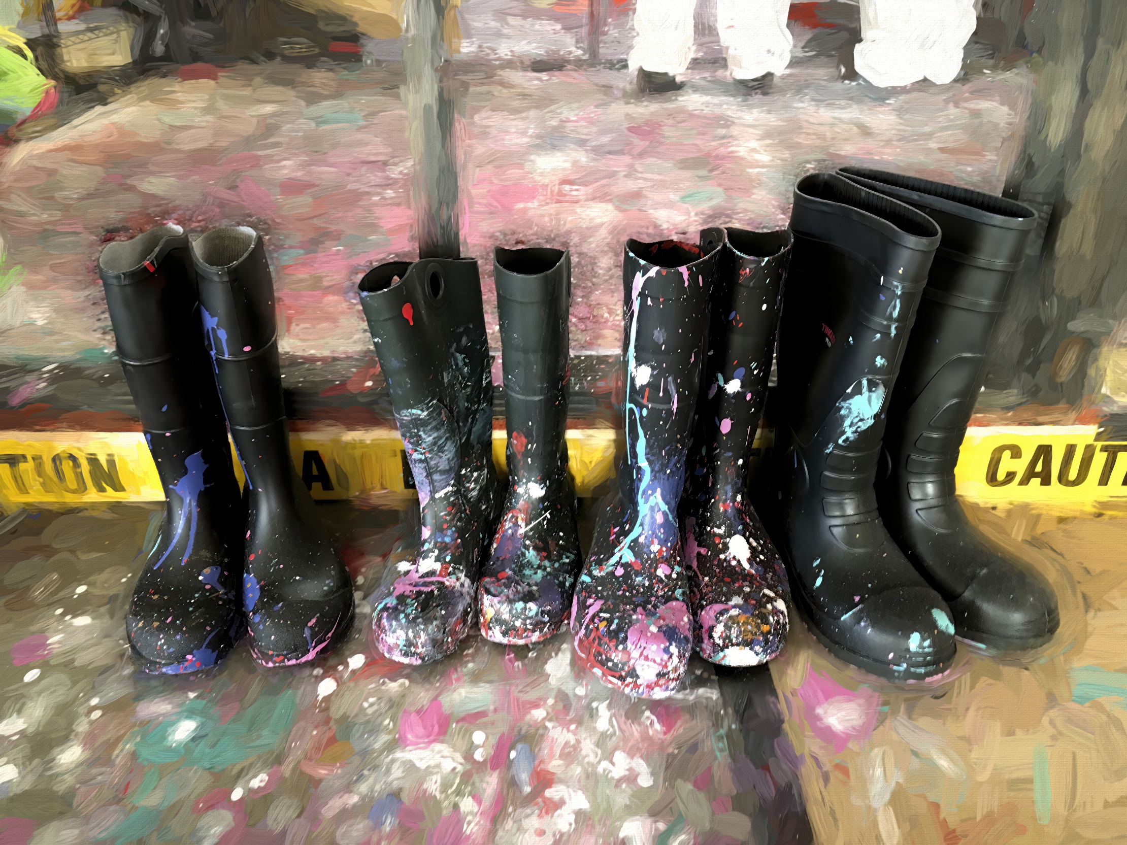 |
| Painty Boots Signed Originals. Unsigned Open Edition |
 |
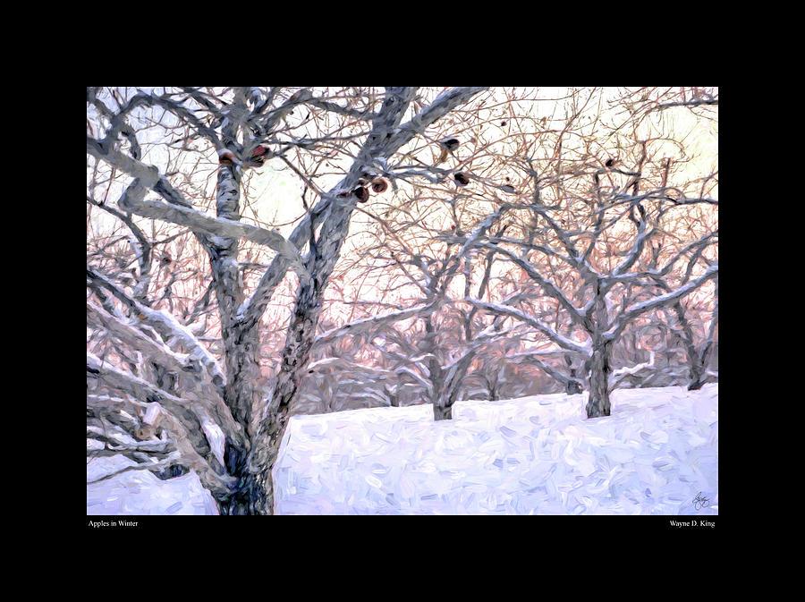
| Apples in Winter Signed Originals. Unsigned Open Edition Prints |
 |
| Moonlight & Mist Over Mowglis - Open Edition |
|
| Apple in Autumn - Signed Original |
 |
| Autumn Textures in Hebron Signed Original Unsigned Open Edition Prints |
|
| Cloud Over Loveland Monochrome Signed Originals Unsigned Open Edition Prints |
 |
| Colors Above the Notch Signed Originals Unsigned Open Edition Prints |
 |
| A Splash of Gold Signed Originals Unsigned Open Edition Prints |
 |
| High Country Aspen Signed Originals. Unsigned Open Edition Prints |
 |
| A Glow of Lilies Signed Originals. Unsigned Open Edition Prints |
 |
| Autumn Deluge Signed Originals. Unsigned Open Edition Prints |

 |
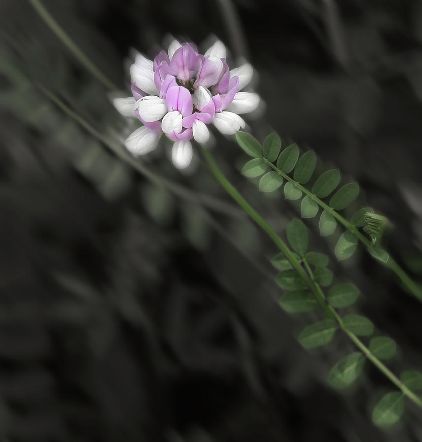
| Crown Vetch Portrait Signed Originals. Unsigned Open Edition Prints |
 |
| Purple Passion in Sugar Hill Signed Originals. Unsigned Open Edition Prints |
Signed Originals
Unsigned Open Edition Prints